Airstrip Info
| Frequency | 122.90 |
|---|---|
| Elevation | 5002 ft |
| Lat/Long |
37.6888, -110.9138 37° 41.328' , -110° 54.828' |
| Runway 15/33 |
705 ft
x 30 ft
Dirt |
| Ownership | BLM |
Weather
See more at the National Weather Center
Information updated January 18, 2025 @ 9:20am
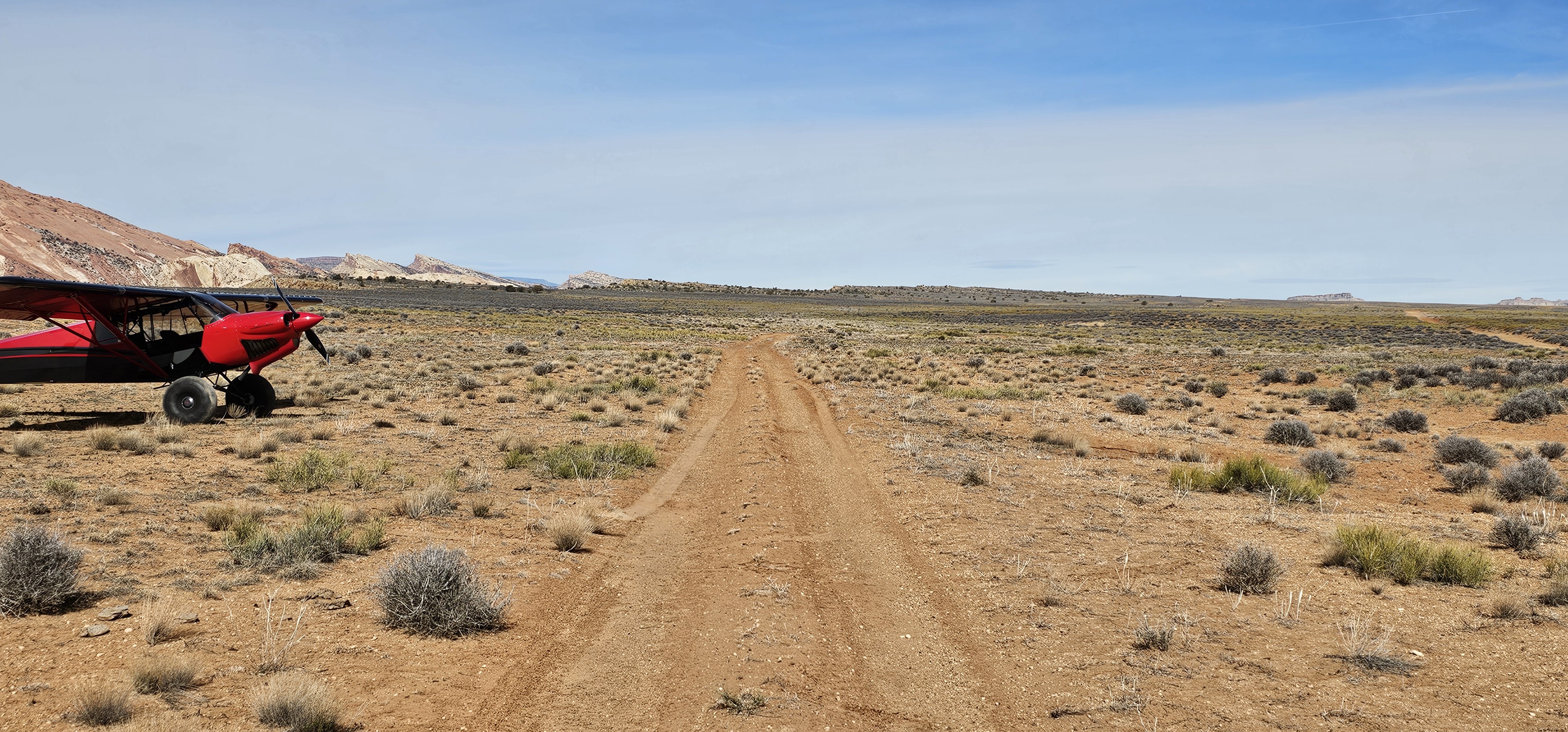
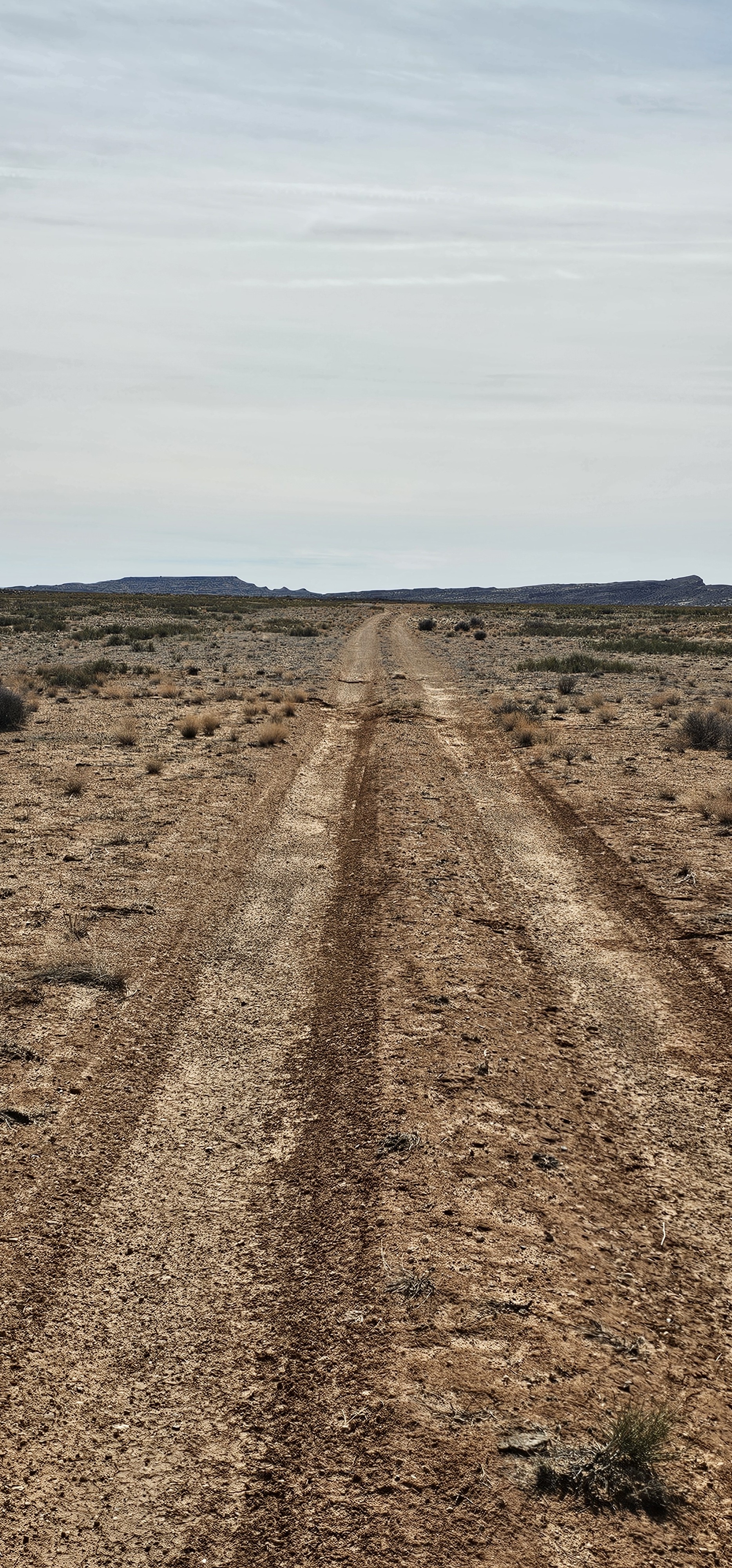
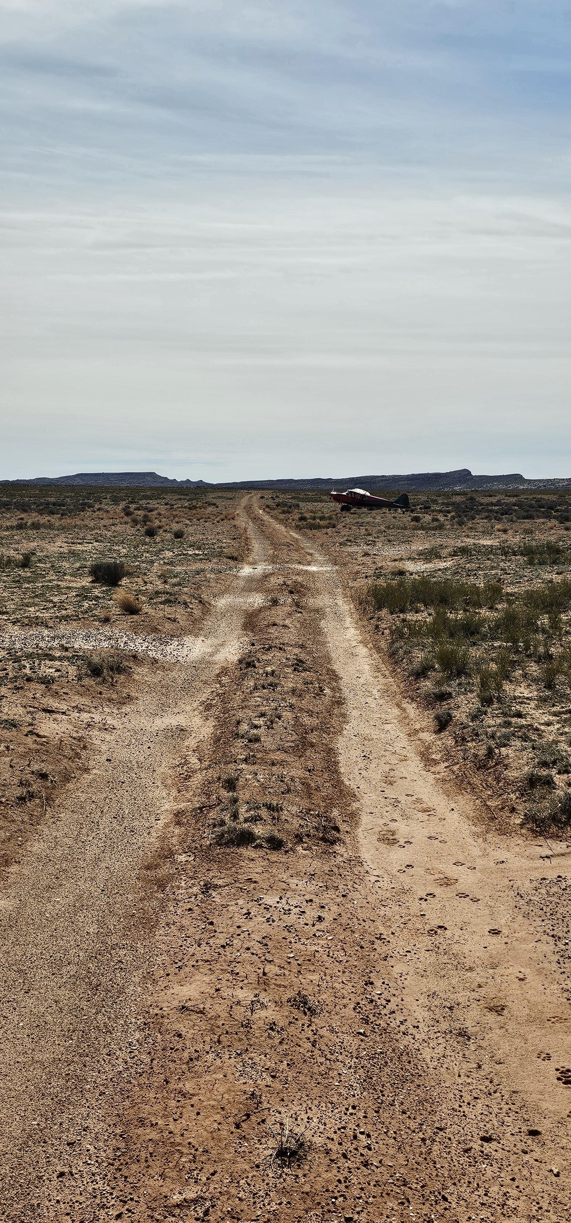
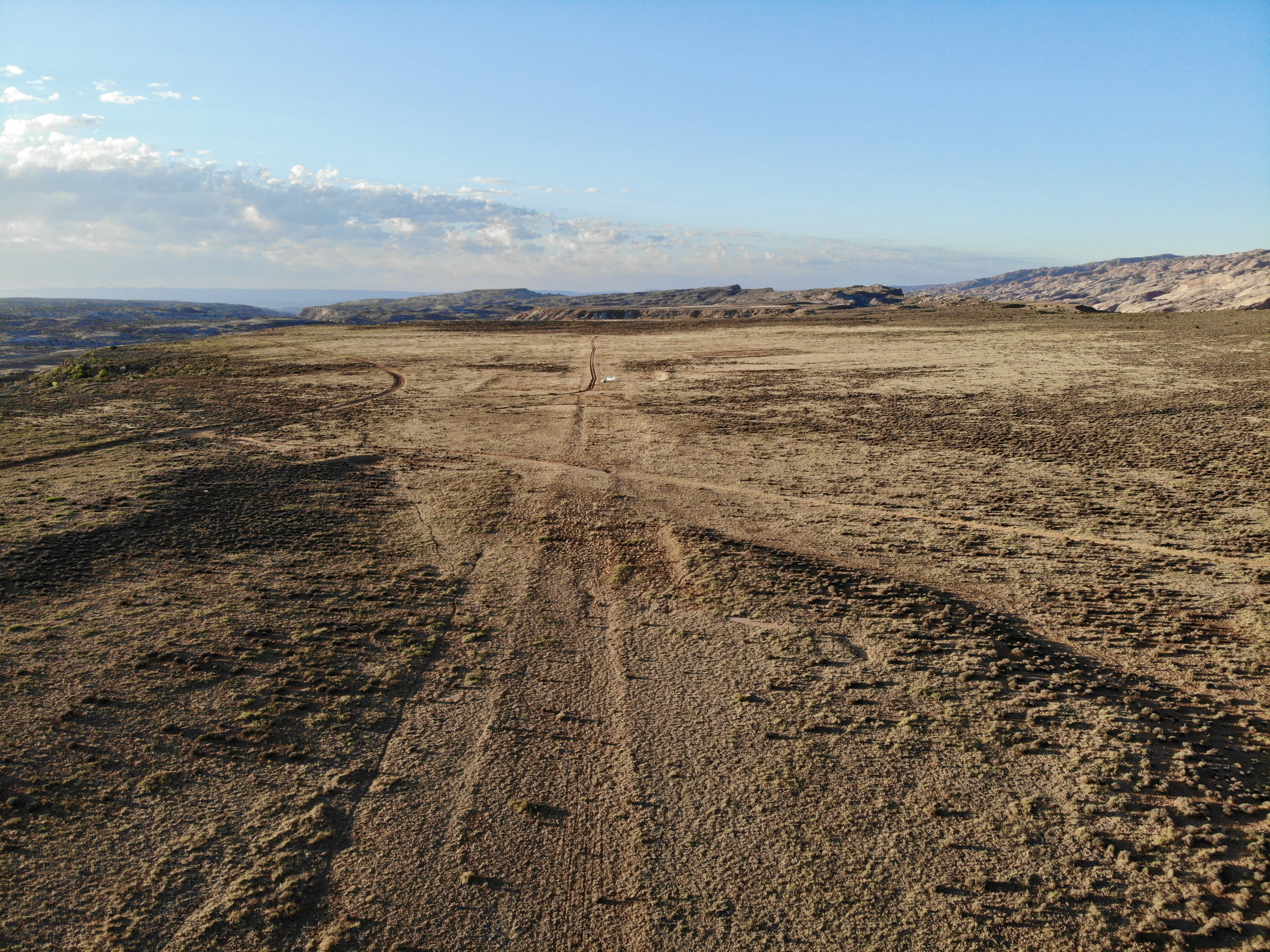
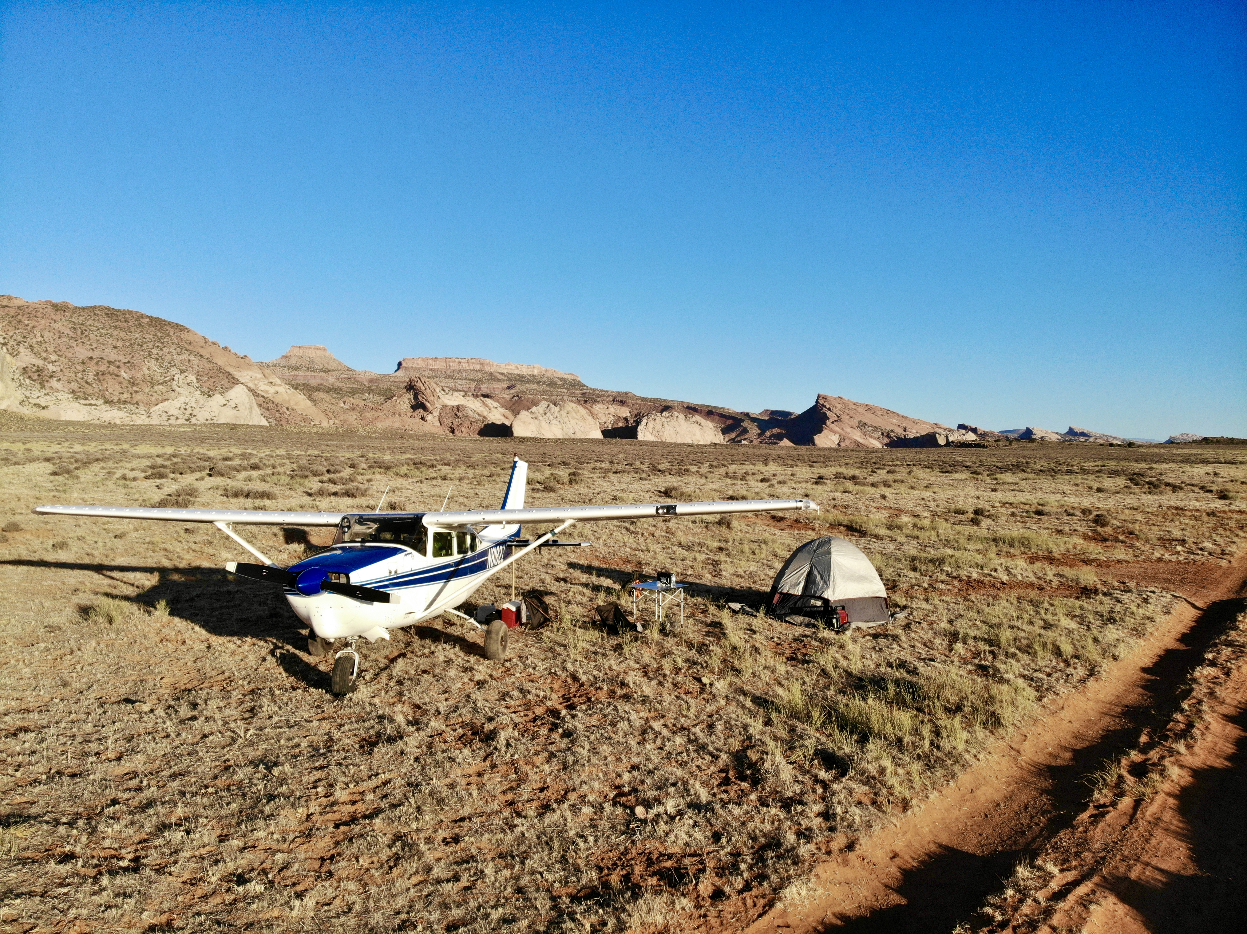
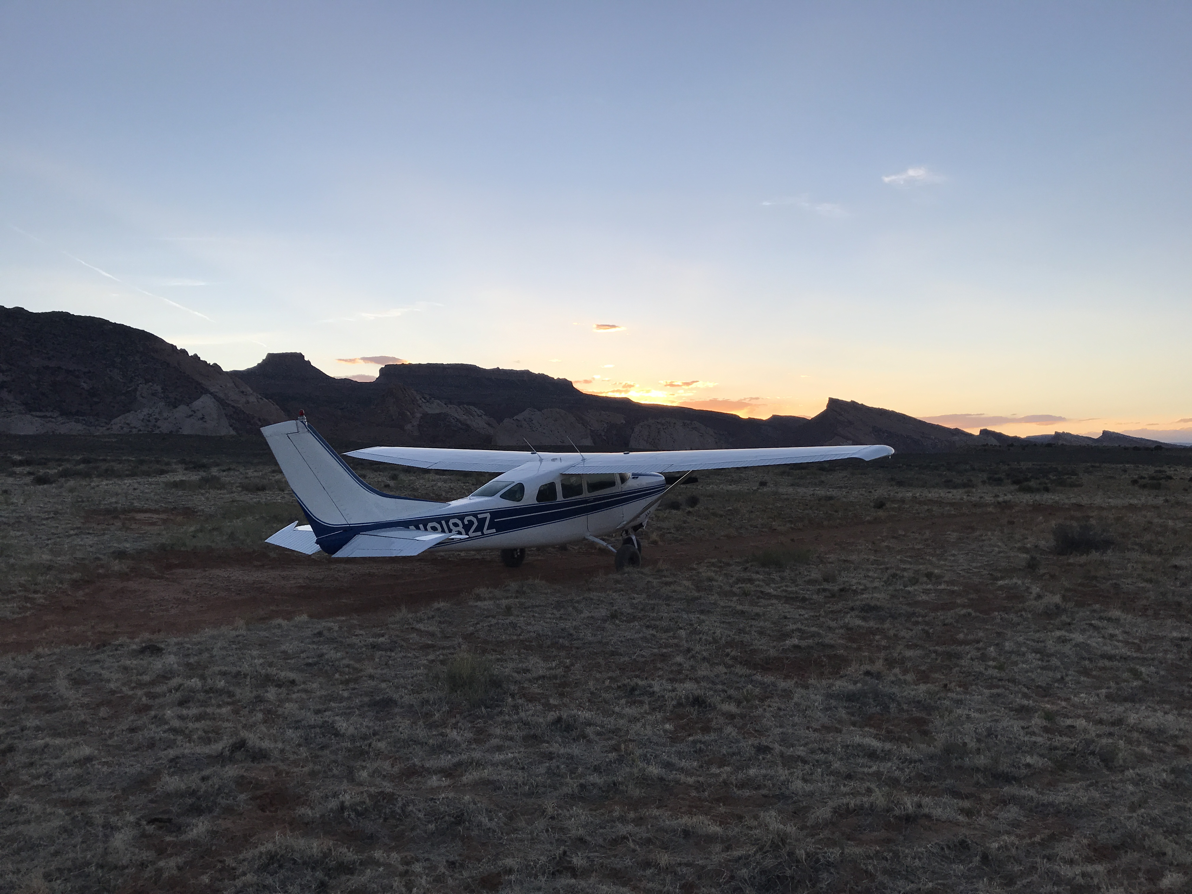
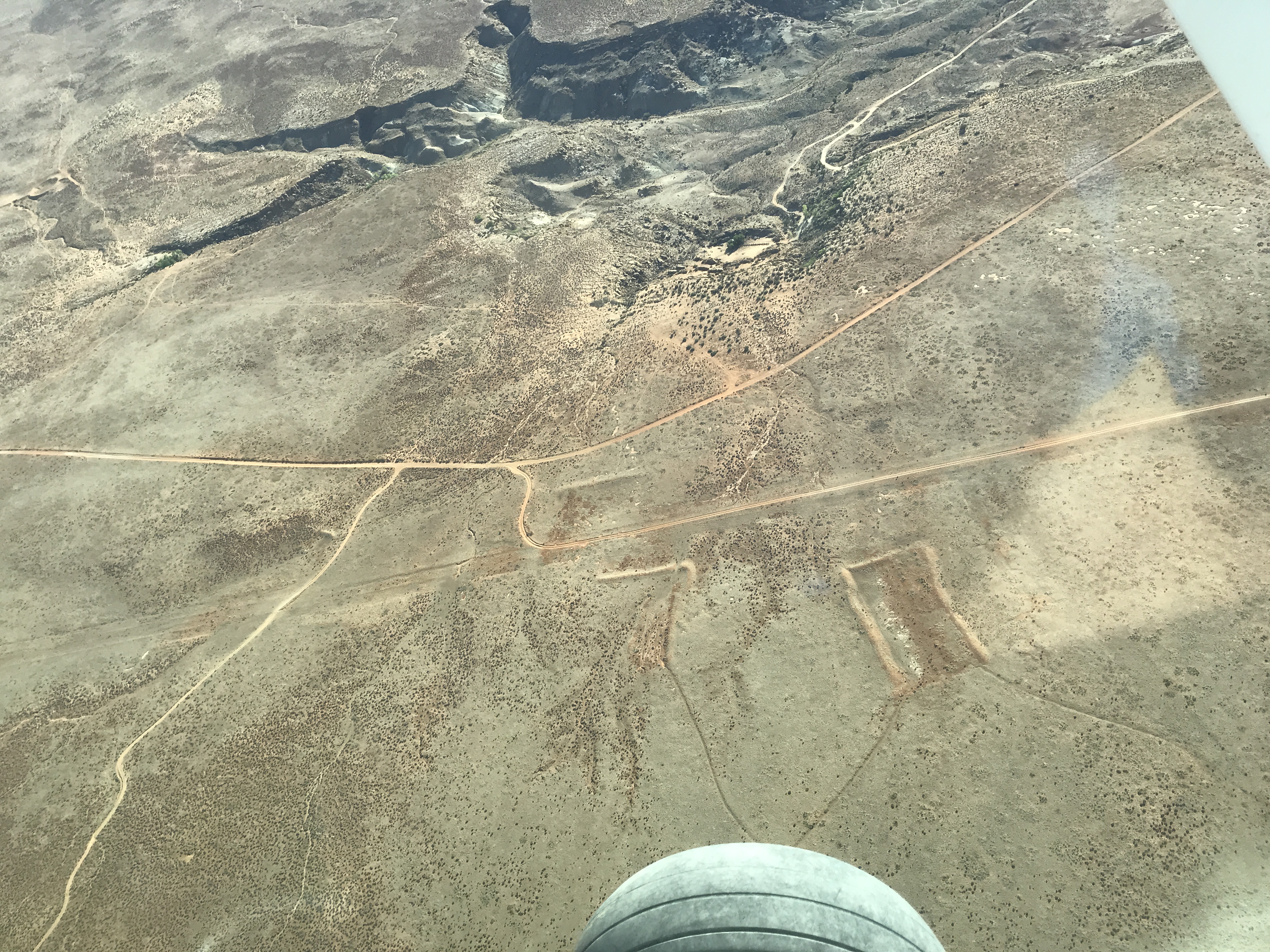
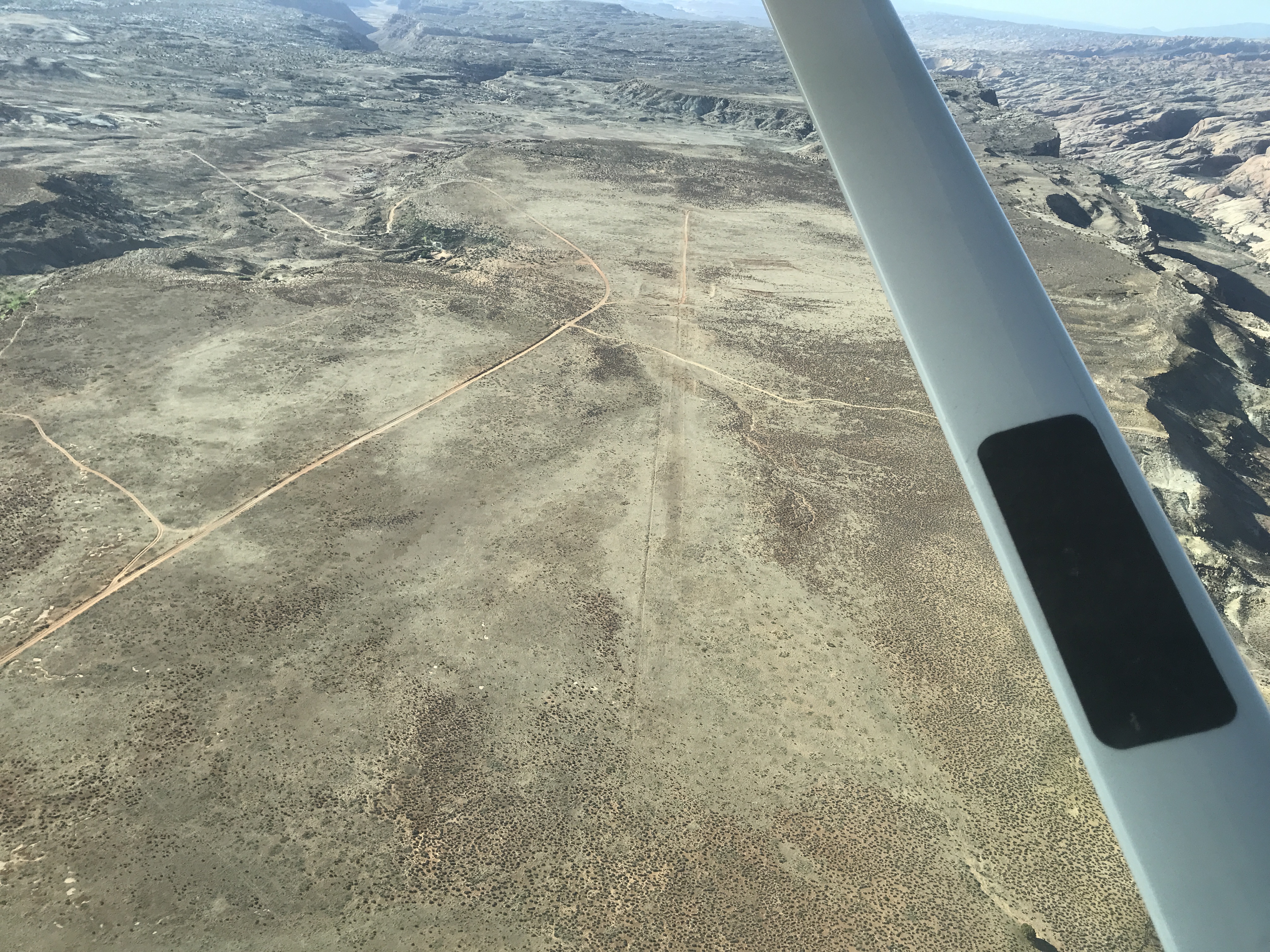
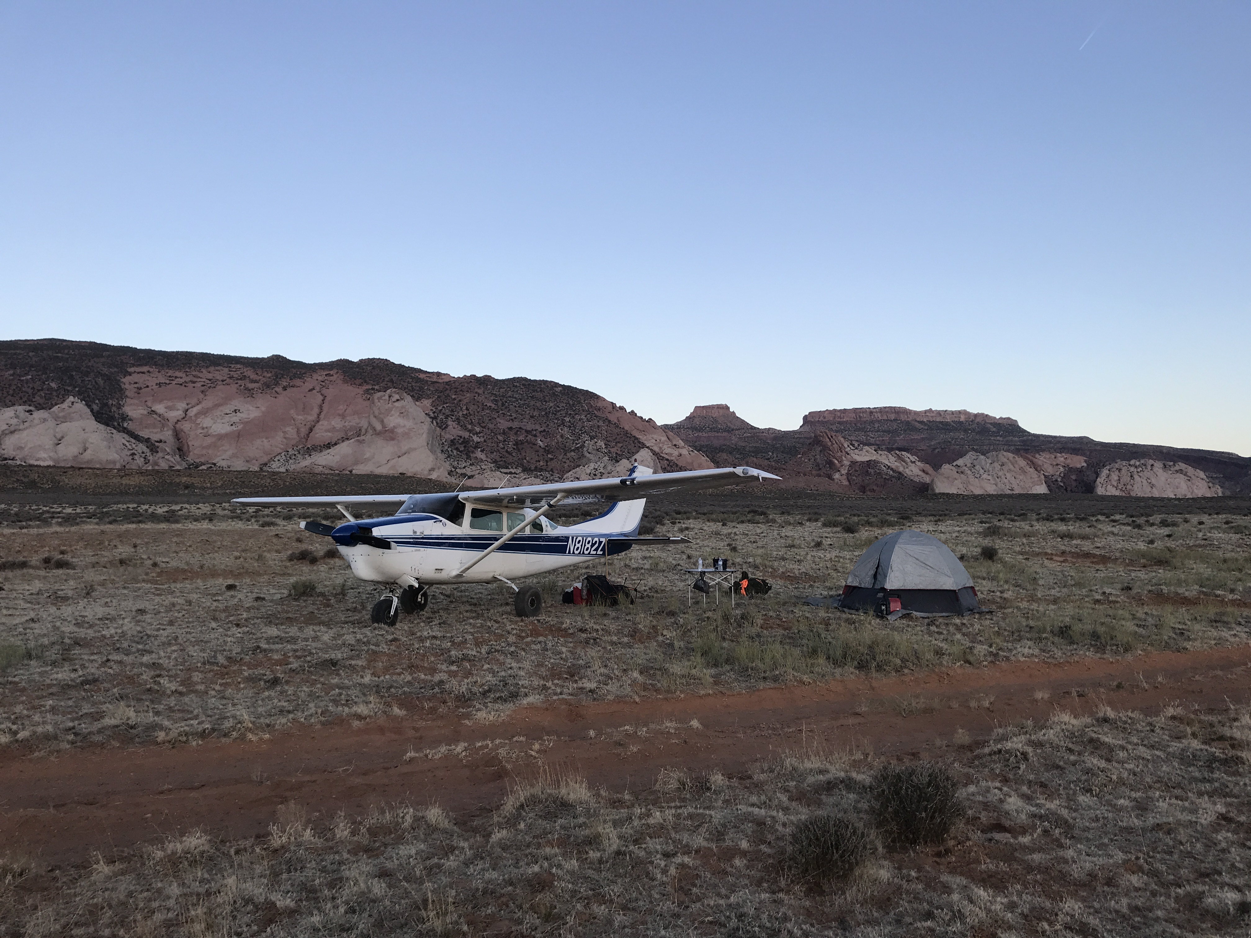
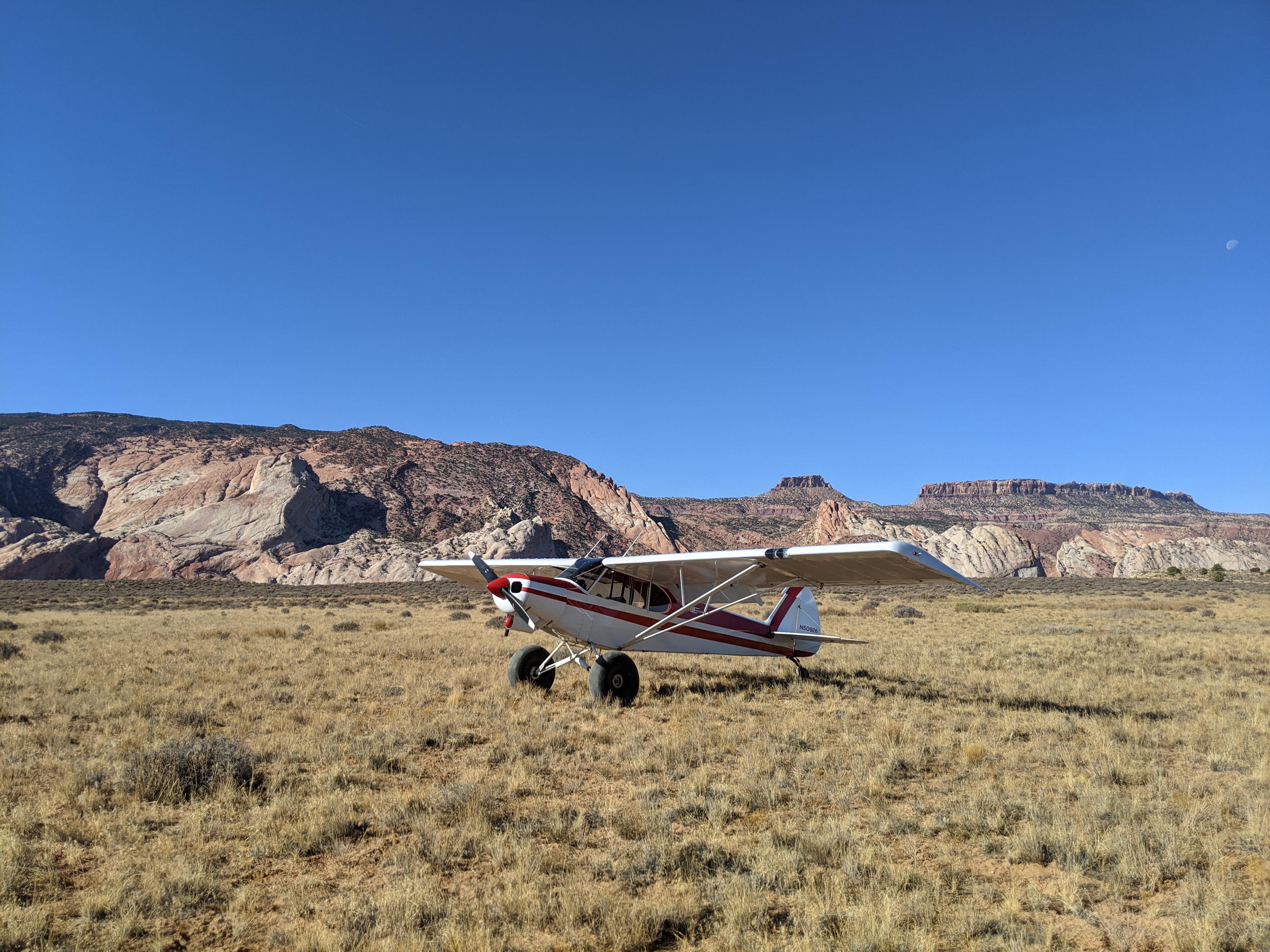
Cool place to land! Views to the west are amazing. Runway is covered with sage brush and hard to spot from air. I opted to land on the 2 track road but is warn in so when you put your tail down it tries to pull you. Runway is soft with sage and grass growing, so would not recommend for small tires. Next time I would land next to the 2 track. Took off next to the 2 track.
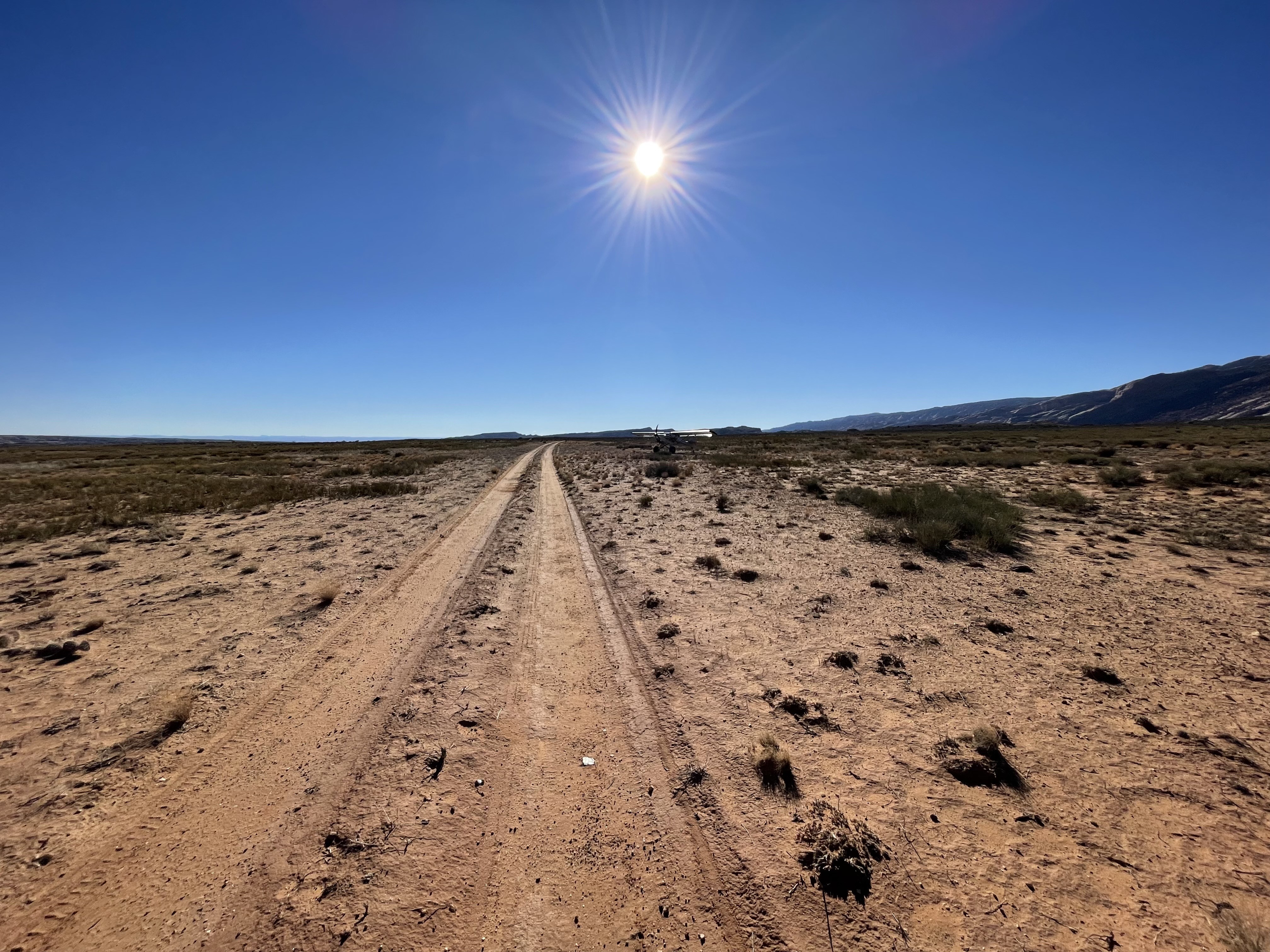
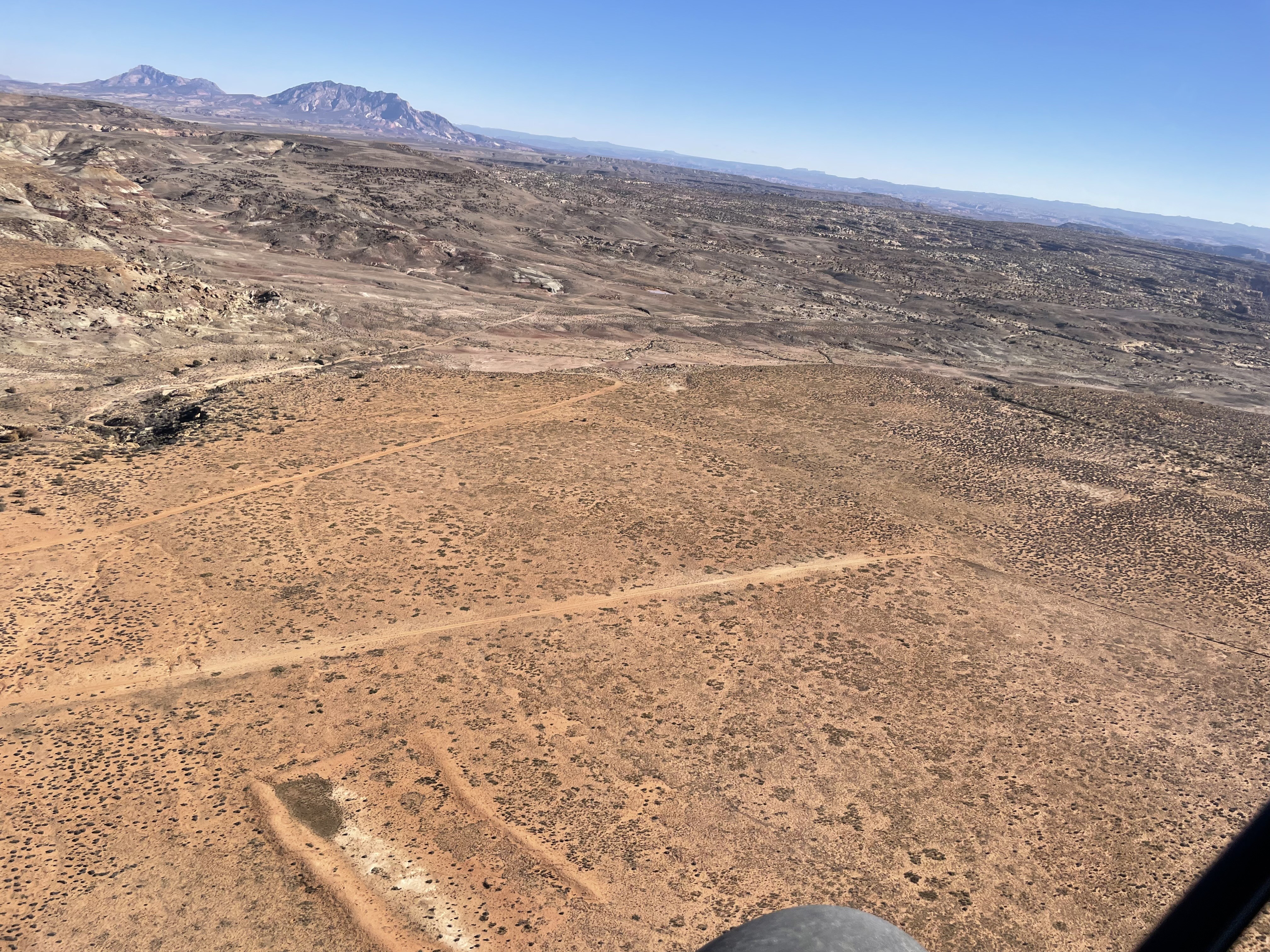
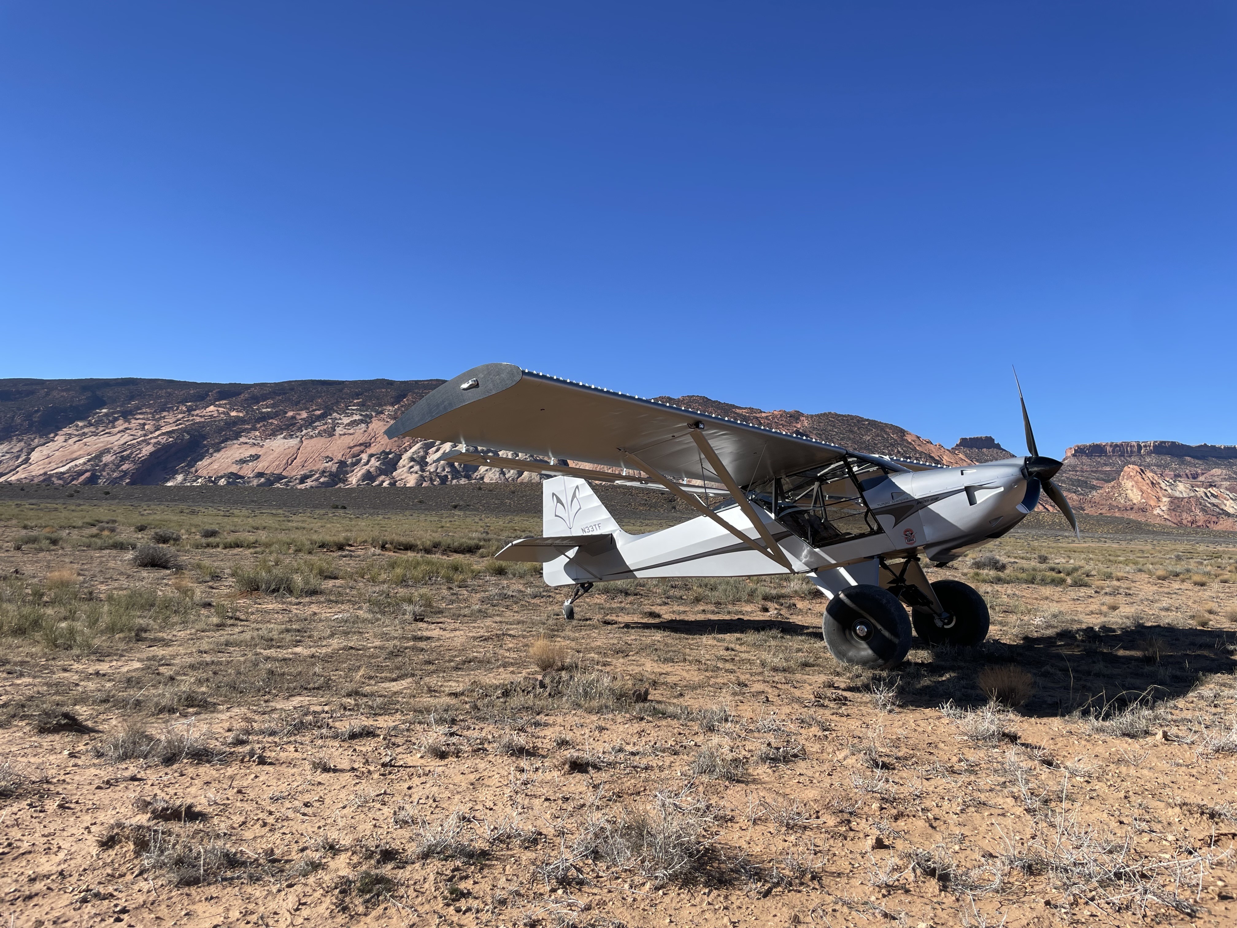
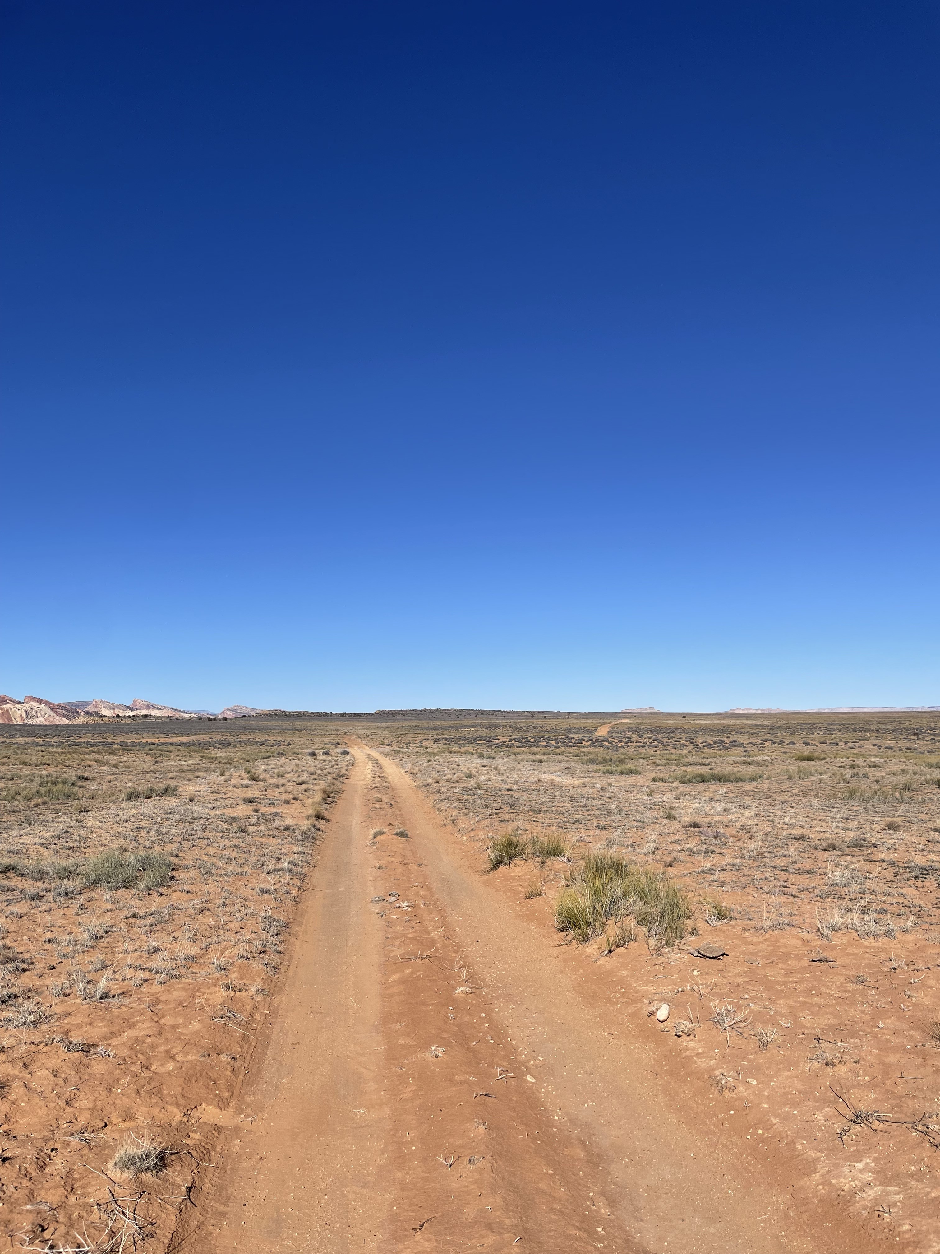
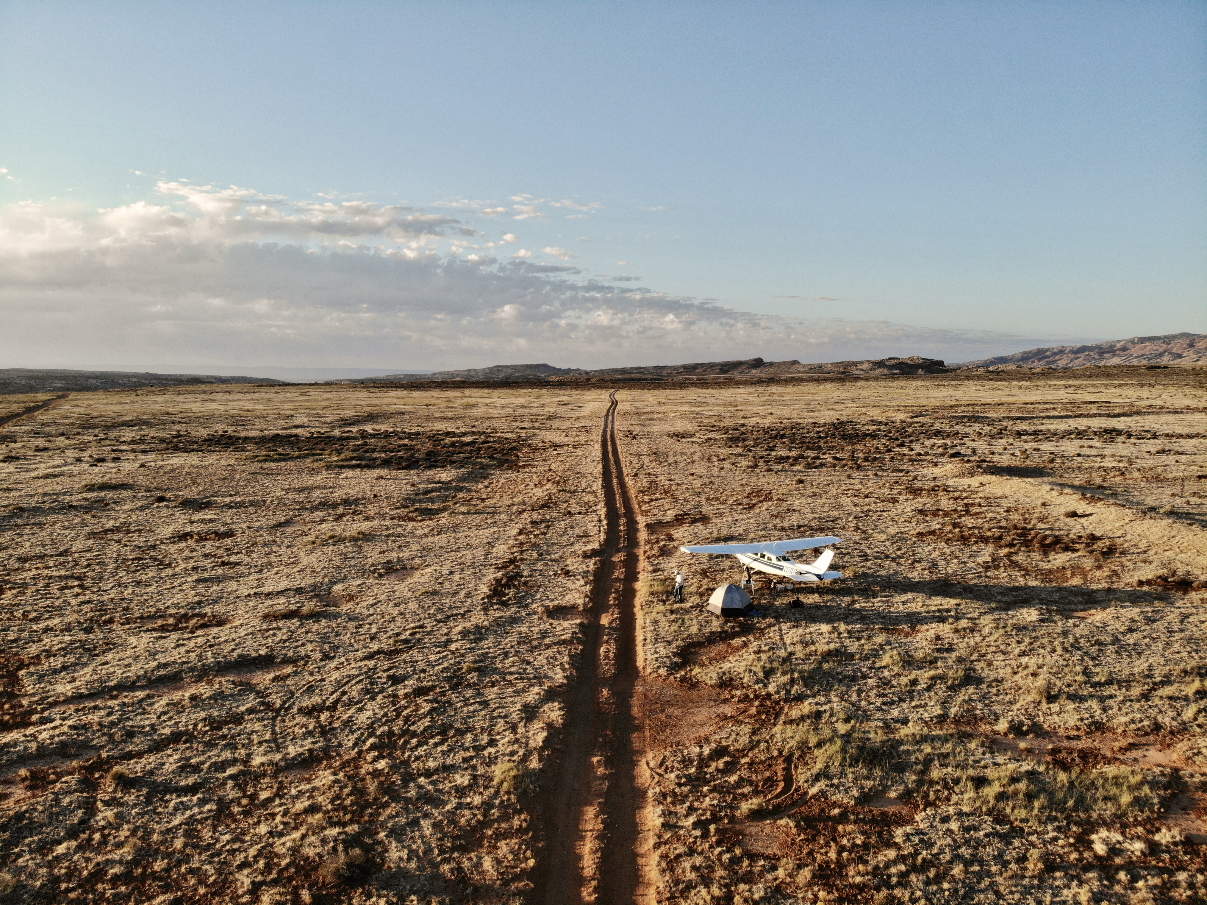
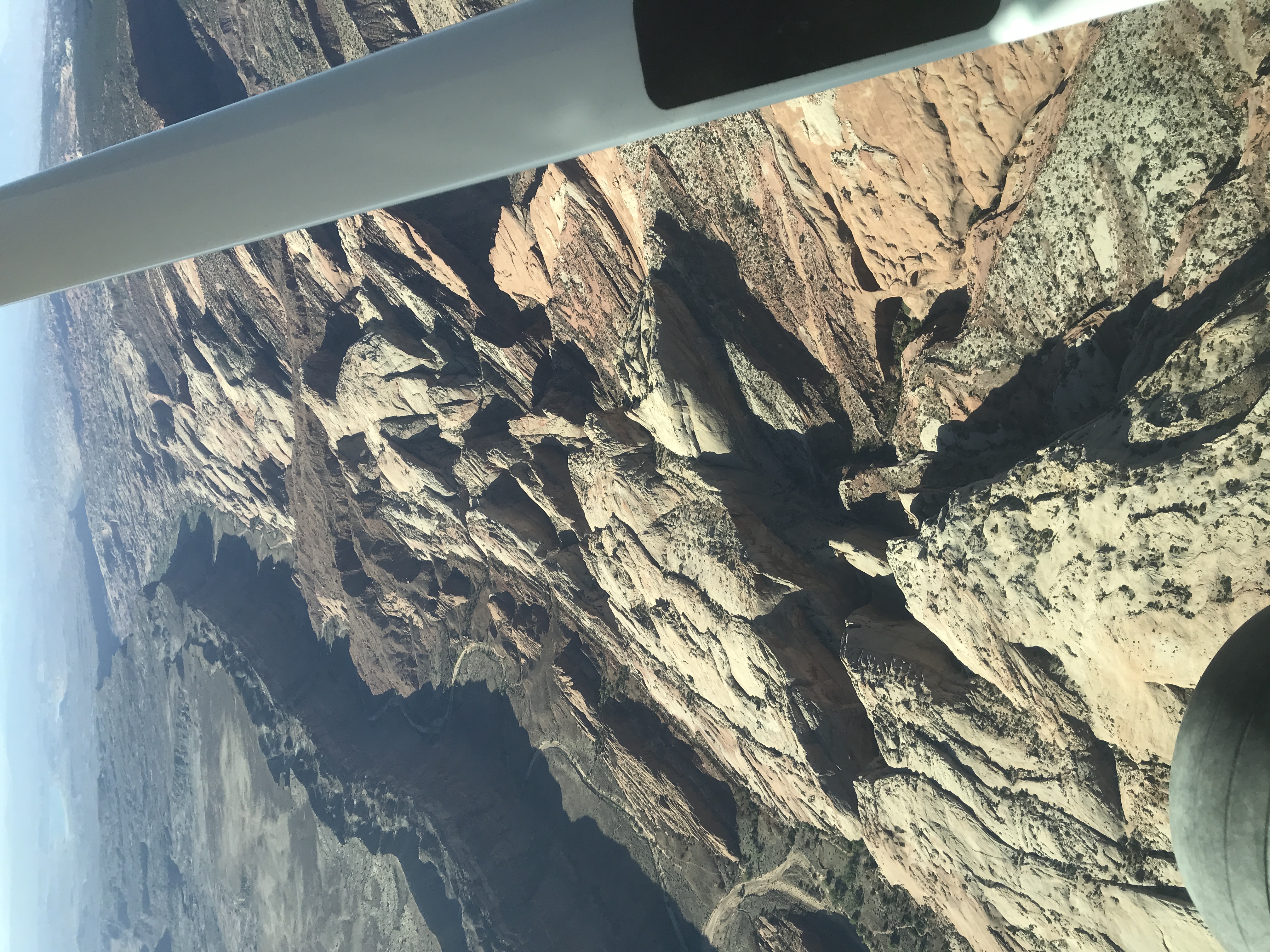
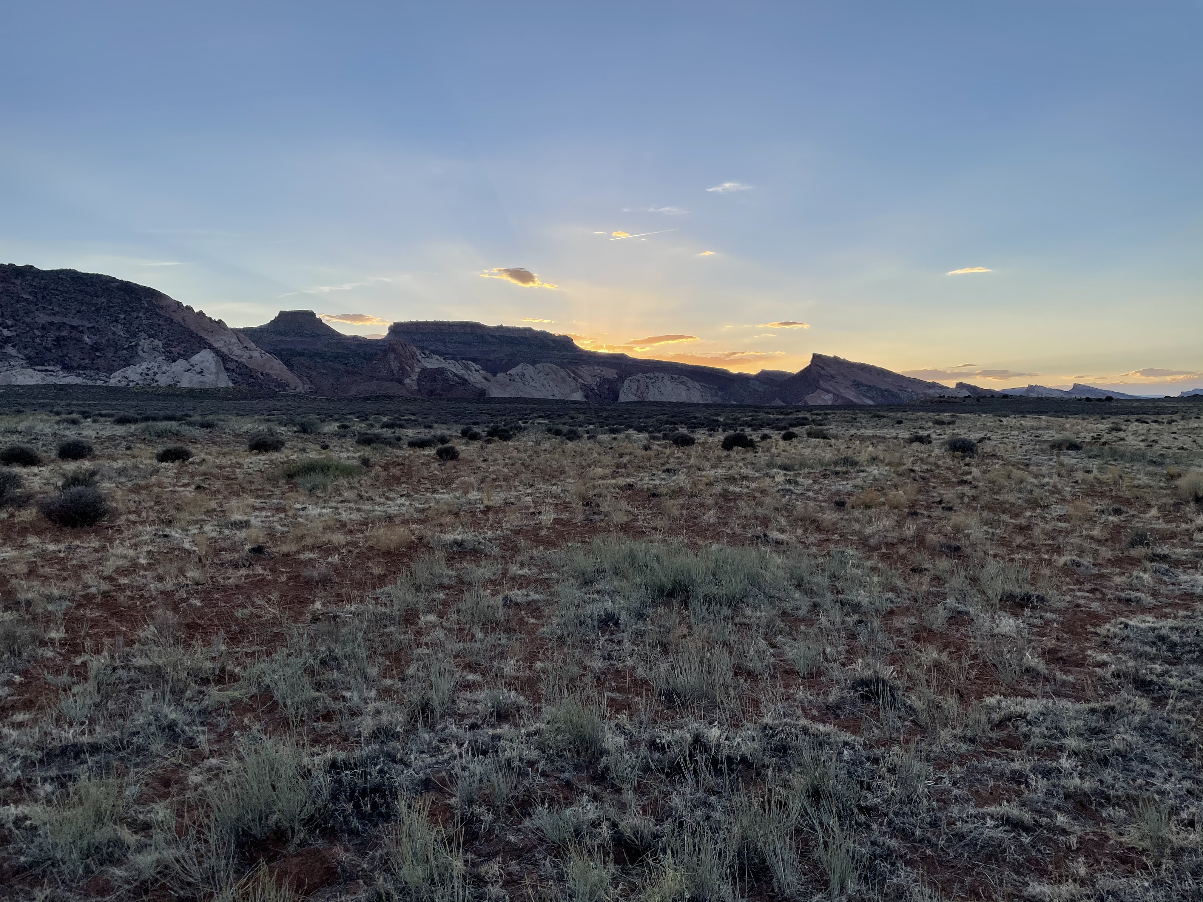
We flew down to camp for a few nights. I opted to try landing on the south section that has the two track road. The road is firm and mostly smooth with only a couple of slight soft spots. The two track is a little more rutted at the north end of that section, with the worst part being the first 100-150’. Shortly beyond that there is a slight wash with some rocks, but nothing too bad. The middle of the two track is higher on the north end in that same section, but gradually becomes more even with the two track as you go farther south. This stretch gives you about 1100’ to work with. The area adjacent to the two track could be doable, just be aware that there are some swells and undulations in addition to a couple of patches of brush. The surface is fairly firm with the grass roots giving the ground some structure and substance. I’d agree with the other pirep that 850s is probably the minimum tire size, and prop clearance is a consideration if you land the road. You can see in the pics where the north section has been landed. I think if I come again I’d land up there despite the usable distance possible being shorter. I need to walk the north end and get a feel for how much length is really usable. It could be more than the 750ish feet listed. Beautiful place with great camping and hiking opportunities. Oh, and I left a bunch of firewood there for the next person since we didn’t get around to having a fire ourselves. It also is worth noting that there is a nice road not far away that could give you access to hiking as well. Possible places to pull off and camp too.


4.5 mile hike. Trail starts approx 2.5 miles from the airstrip
https://www.roadtripryan.com/go/pdf/downloadpdf?download-file=brimhall-arch.pdf&filename=brimhall-arch-capitol-reef.pdf
The Big Thompson Mesa airstrip was recognized as a Primitive Road in the 2025 Henry Mountains and Fremont Gorge TMP given the designationGAHM0442d as OHV-OPEN. You can view this TMP by clicking here.