Airstrip Info
| Frequency | Unknown |
|---|---|
| Elevation | 5375 ft |
| Lat/Long |
40.0918, -109.1902 40° 5.508' , -109° 11.412' |
| Runway 04/22 |
5850 ft
x 50 ft
Dirt |
| Ownership | BLM |
Weather
See more at the National Weather Center
Information updated January 10, 2023 @ 4:17pm
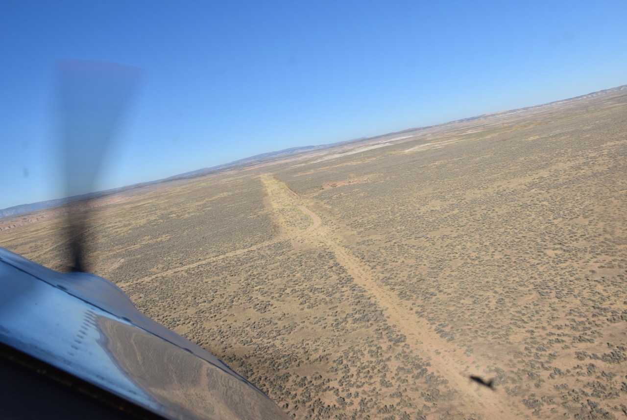
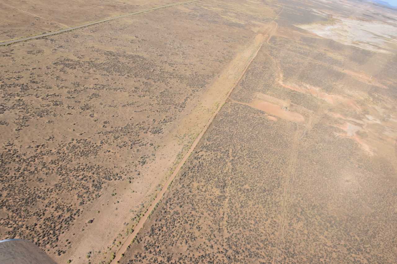
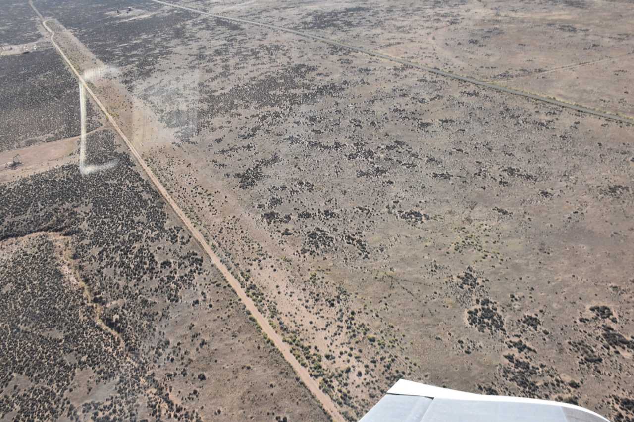
Airstrip visible and sections may be serviceable. Other sections overgrown.
Over flew the runway a couple of times to check condition. There is quite a bit of sage growth in various spot. The NE end looks the best for use. Tail wheel planes with bigger tires would probably be ok. A little cleanup to get rid of some of the sage growth and this looks like it would be usable and a good spot. I am hoping to find time this spring to land it.

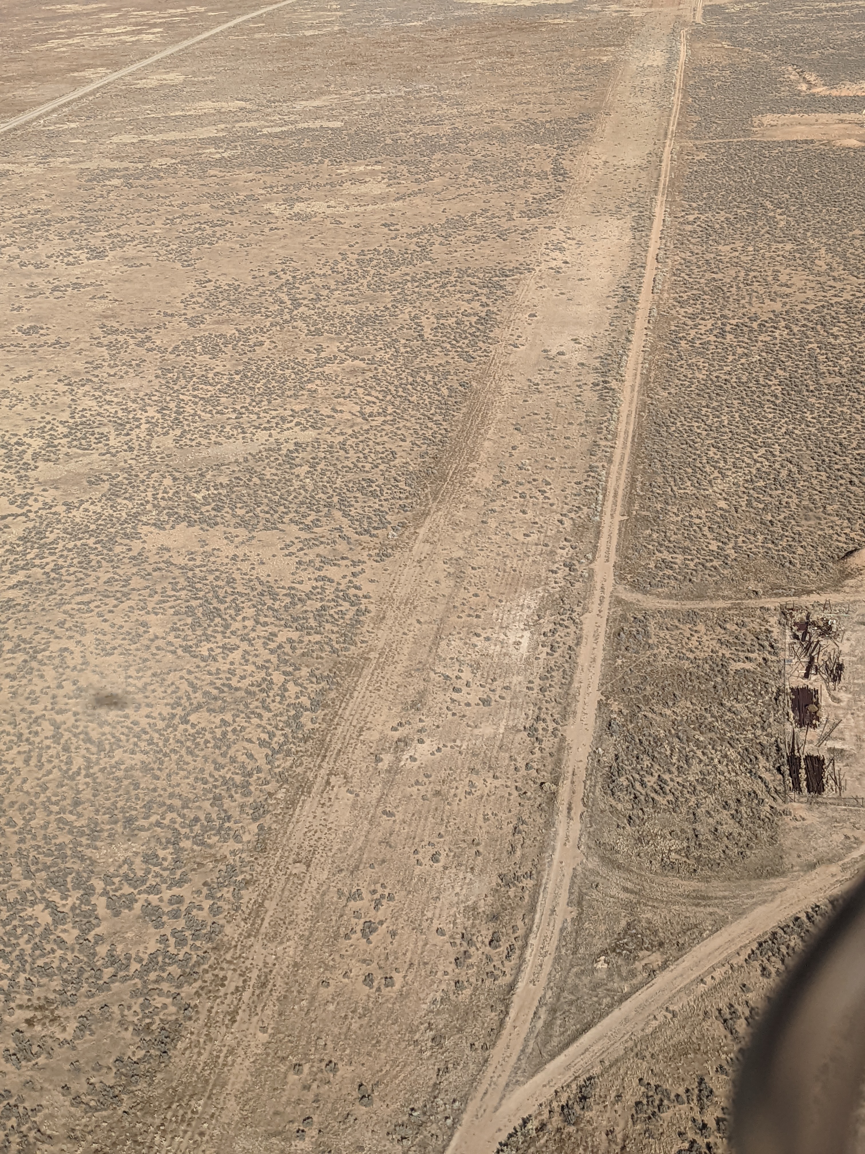

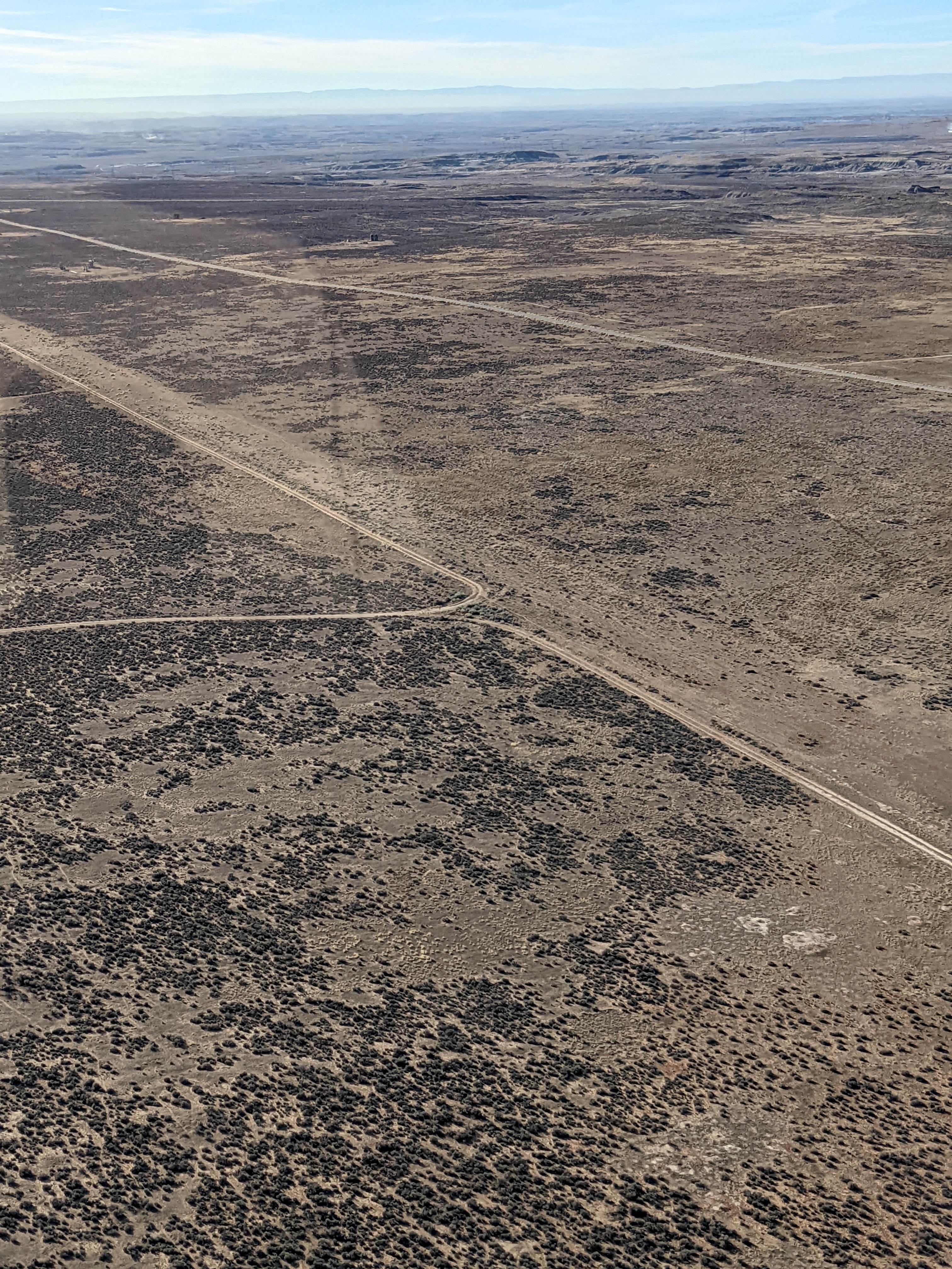
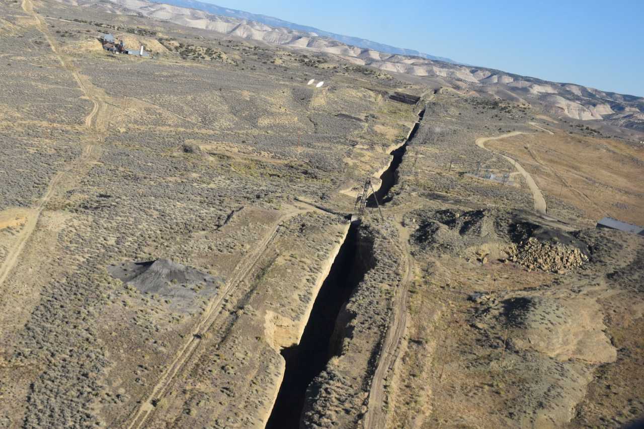
Made a low approach. The overgrown sage brush is up to a foot high on the runway. Rutted need major work. No windsock but wind could be judged from a power plant chimney a mile away. There is an adjacent dirt road which could be used by STOL aircrafts. Interesting vicinities of gilsonite mining. A time freeze from last century.
We haven't written a history for this airstrip yet. If you would like to provide us with some information about this strip, please contact us today!