Airstrip Info
| Frequency | 122.90 |
|---|---|
| Elevation | 6787 ft |
| Lat/Long |
37.8855, -111.4634 37° 53.13' , -111° 27.804' |
| Runway 14/32 |
3500 ft
x 60 ft
Dirt Rwy 32 Uphill 2.8% |
| Ownership | USFS (NW) / BLM NM (SE) |
Amenities
Weather
See more at the National Weather Center
Information updated May 31, 2024 @ 11:40am
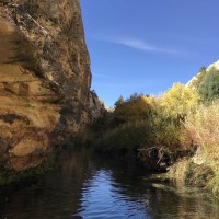
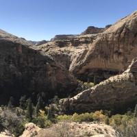
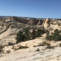
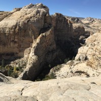
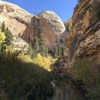
The Boulder Airstrip is located just a few miles from the town of Boulder Utah, near the intersection of State Route/Scenic Byway 12 and Hell's Backbone road. Hell's Backbone Grill in the town is possibly the best farm-to-table experience in all of Utah. This entire area, stretching from Boulder Mountain toward Capital Reef, is filled with spectacular scenery and wonderful flying opportunities. There is no ground transportation available at all in the town, so ground crew support will be important if you wish to visit the Grill or any of the other restaurants there. There is nice hiking and rudimentary camping available at the airstrip, but bring your own water and pack out your own waste.
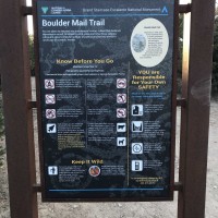
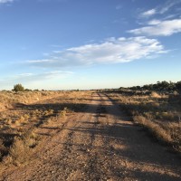
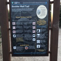
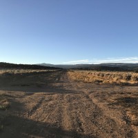
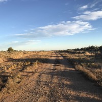
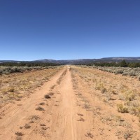
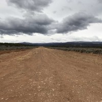
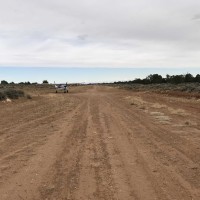
The southeast end of the runway can be accessed by car from SR 12. A longer, but easier-to-find track leads from the Hell's Backbone road to the middle of the runway. The airstrip is also the trailhead for the Old Mail Trail that lead from the town of Boulder to Escalante. Because of this, the runway is heavily rutted from vehicular use. Due to rising terrain to the northwest, there is no takeoff or go-around opportunity in that direction for most airplanes. Generally, landing to the northwest and takeoff to the southeast will be preferred.
Approaching from the southeast, the first 500 feet of the runway is very rough and rocky, making it unsuitable for aircraft without big bush tires. The next section up to the midpoint is probably the least heavily rutted, but the area around the midpoint (where the track from Hell's Backbone road intersects) has very deep ruts. If landing on the southeast end it is advisable to get stopped before the midpoint. It is also possible to land beyond the midpoint on the northwest half of the runway, where it is fairly easy to stop due to the uphill grade. That section also is rutted, but it has been done successfully on 850 tires. Takeoffs normally start straddling the ruts on the northwest end, rolling downhill, with the intent to be airborne well before the midpoint. It is all but impossible to avoid the ruts entirely. In high performance aircraft a takeoff could possibly be initiated from the midpoint, toward the southeast.
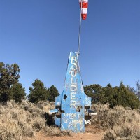
The fuselage of a wrecked airplane stuck on its nose serves as the base of the windsock mast, but the windsock itself is often in disrepair. Perhaps the wreck also serves as a warning to those not fully prepared for the challenges of this interesting strip!
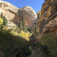
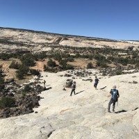
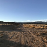
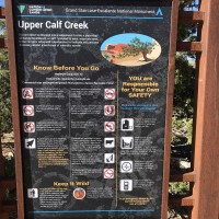
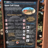
I made a trip down to Boulder to replace the windsock and do some camping earlier this week. We got the sock replaced and it was a long time coming…and badly needed. I was surprised to see two other aircraft come and go while we were there. It was good to see it getting used. The strip is in need of being bladed. When I was last there in April 2018, it had been recently bladed. It’s become somewhat overgrown by 6-8” small bushes. The surface is otherwise pretty good and landable. There is a two track road going down the strip and it seems to get a bit of traffic. With the exception of a 200-300’ stretch towards the north end that has some minor rutting, it’s currently the preferred option for landing. The strip is a bit rough at the intersection. Luckily, there is enough length on either side of the intersection for landing or taking off so you don’t need to roll through the intersection with any amount of speed. Quite a bit of traffic going to the trailhead so watch for vehicles. I've included two pics of the airstrip from April 2018 when it had been recently bladed for reference and comparison. This strip has excellent access to the trailhead for hiking. We hiked the Boulder Mail Trail. The trailhead is right at the strip and is roughly 15 miles to Escalante if you do it as a one way hike. Local vendors will bring you back to the strip for $60 a person (we didn't do this but got the info from some people being dropped off). We did an out and back for the day, going just under 9 miles in. It's 11 miles round trip to the top of Death Hollow. We also hiked to Upper Calf Creek Falls. It's 2.4 miles from the parking spot on the strip south on the highway to the trailhead. Then it's just a little over a mile to the falls. Both are moderate to difficult hikes. Our hike to Death Hollow was 17.2 miles and 2400'+ of vertical. The hike to the falls was 7.2 round trip and 900' vertical. I'm in contact with Wayne Loeber with the RAF as well as the UBCP board to see what we can do to get the strip bladed as well as some signage put up to make vehicle traffic aware of the strip.
We haven't written a history for this airstrip yet. If you would like to provide us with some information about this strip, please contact us today!
