Airstrip Info
| Frequency | 122.90 |
|---|---|
| Elevation | 4884 ft |
| Lat/Long |
37.854, -110.2988 37° 51.24' , -110° 17.928' |
| Runway 01/19 |
1300 ft
x 12 ft
Soft Sand Rwy 19 Uphill 1.7% |
| Ownership | BLM NM |
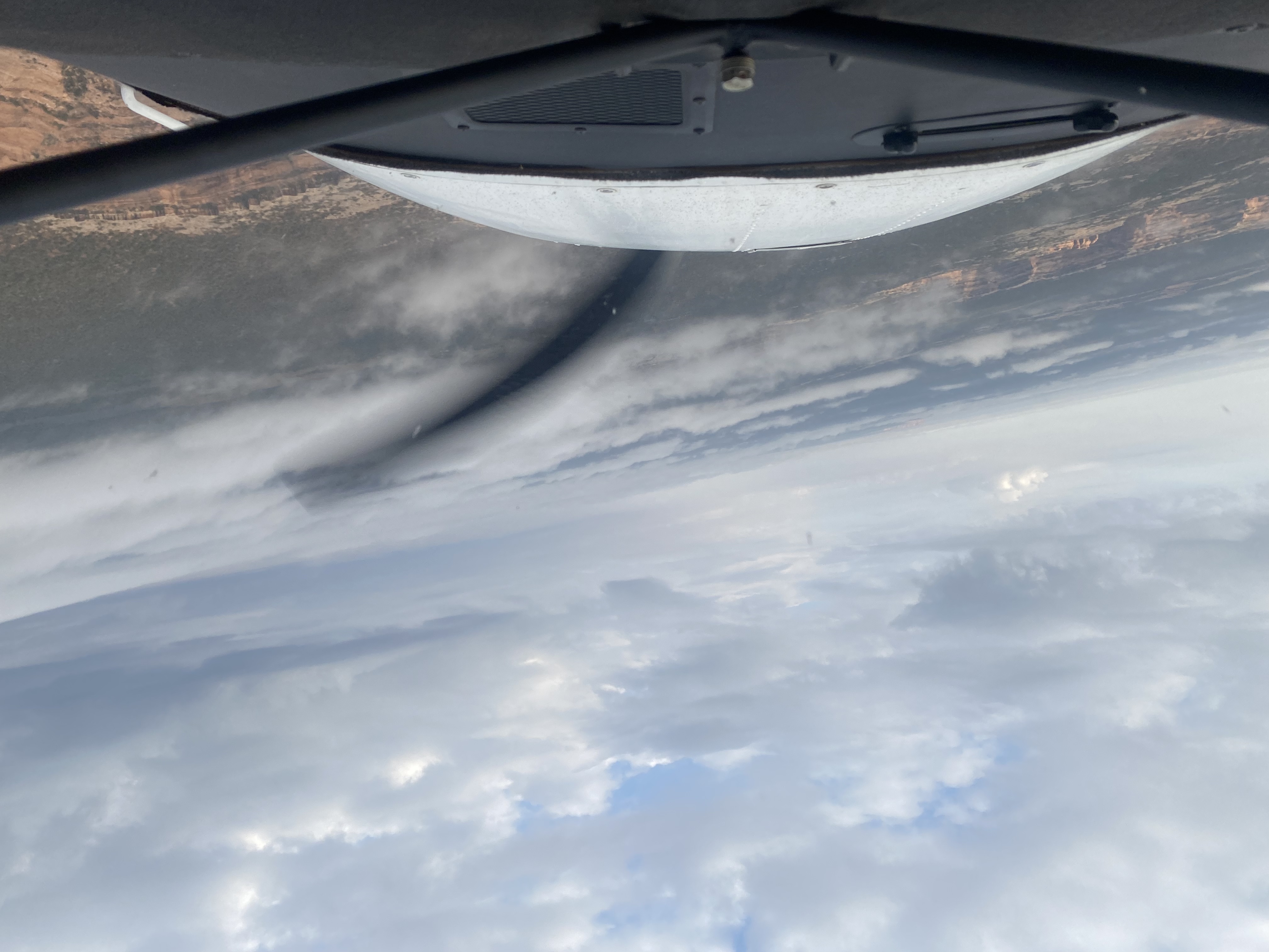
Weather
See more at the National Weather Center
Information updated July 9, 2025 @ 5:14pm
Browns Rim Airstrip is TEMPORARILY CLOSED. The airstrip is within the Bears Ears National Monumnet and the airstrip use is not allowed until the BLM has completed a NEPA evaluation of the airstrip.
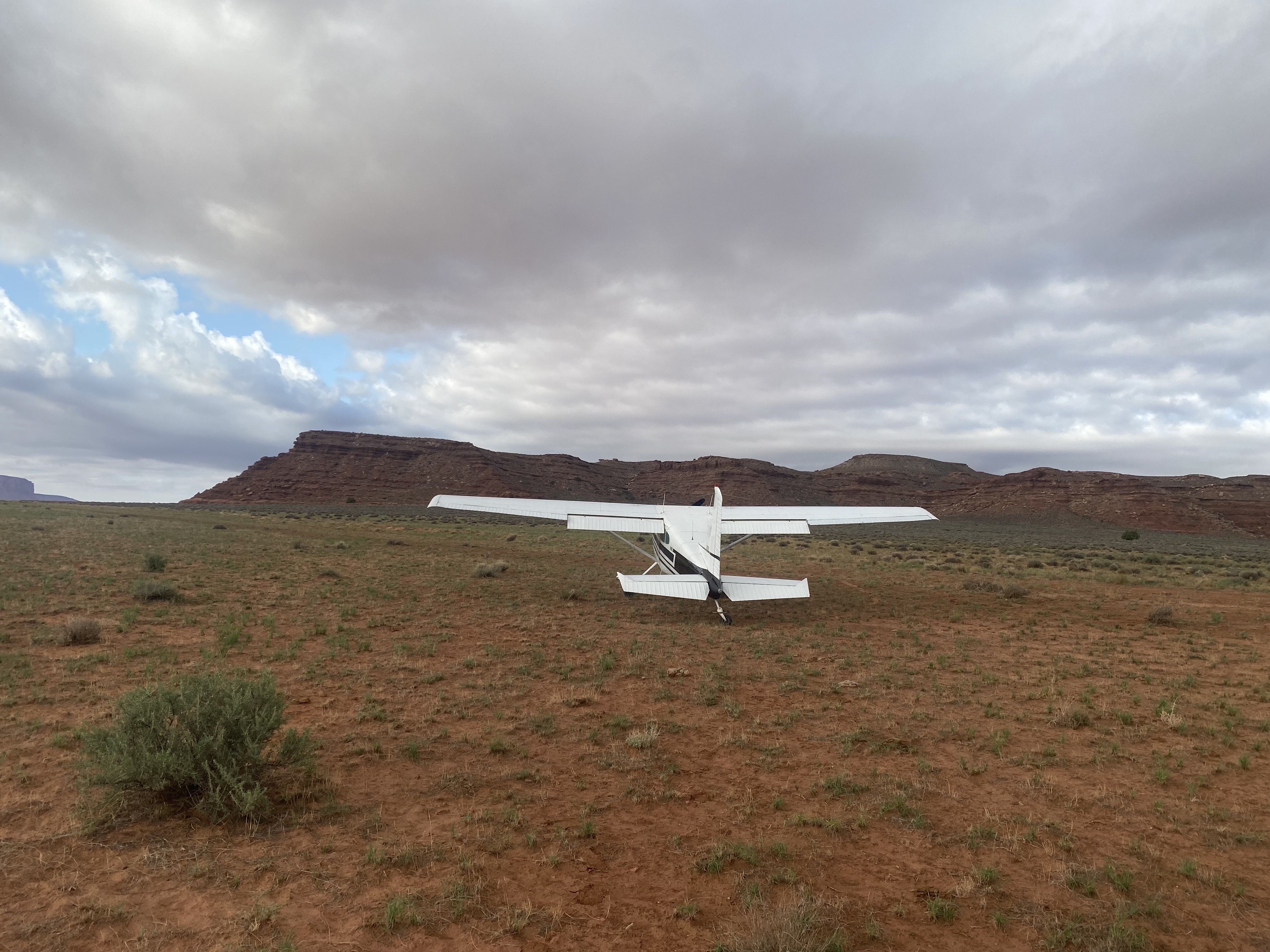
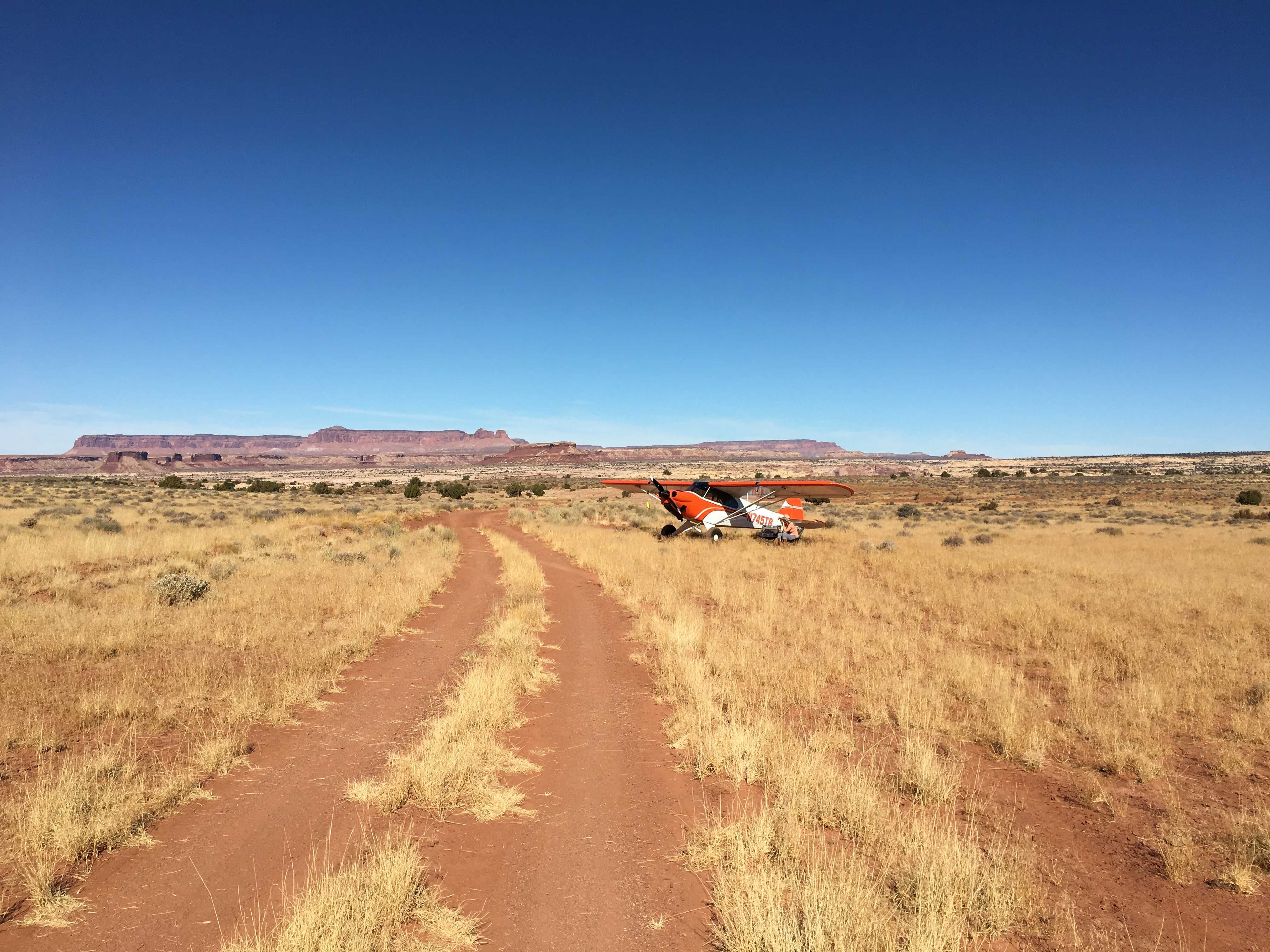
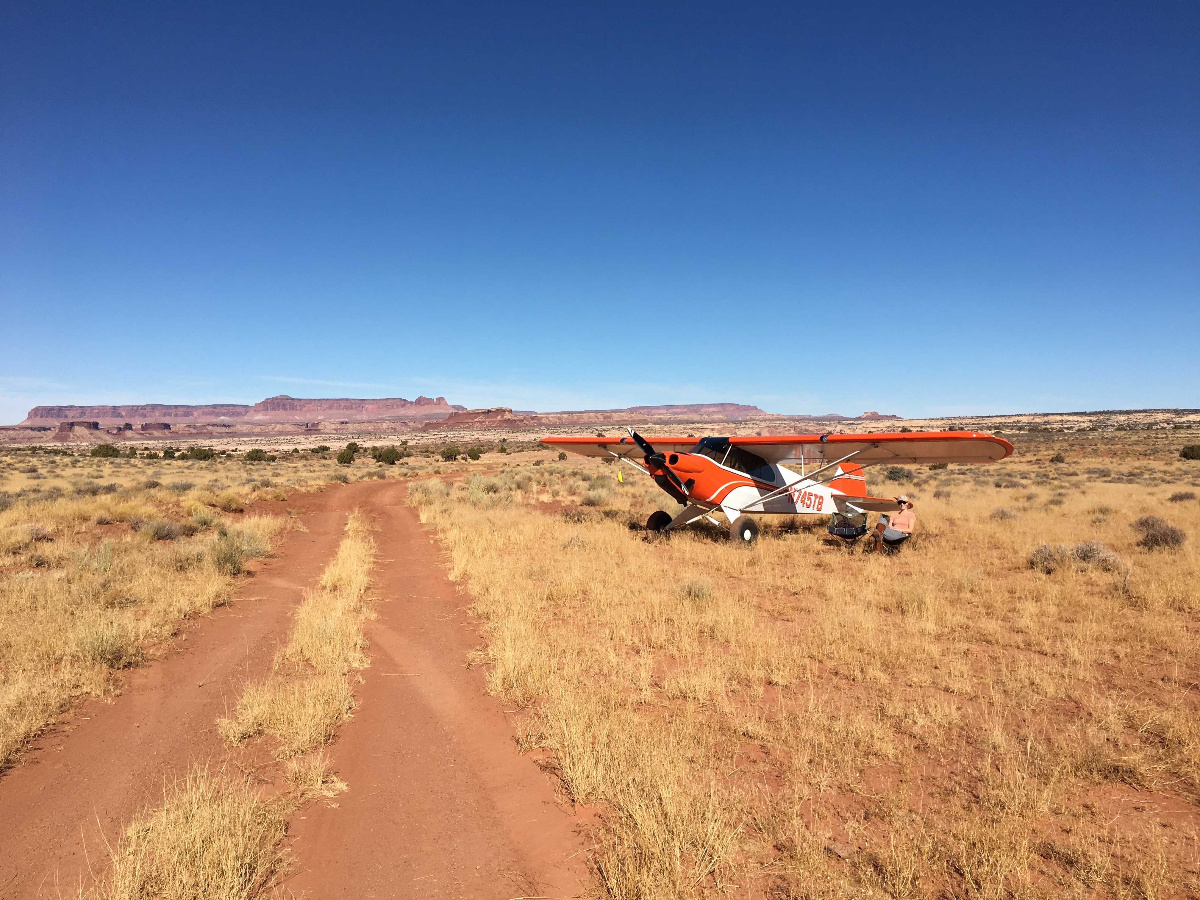
Description: Near the National Park Boundary to the north, Brown's Rim offers a spectacular view of Cataract Canyon via a short hike.
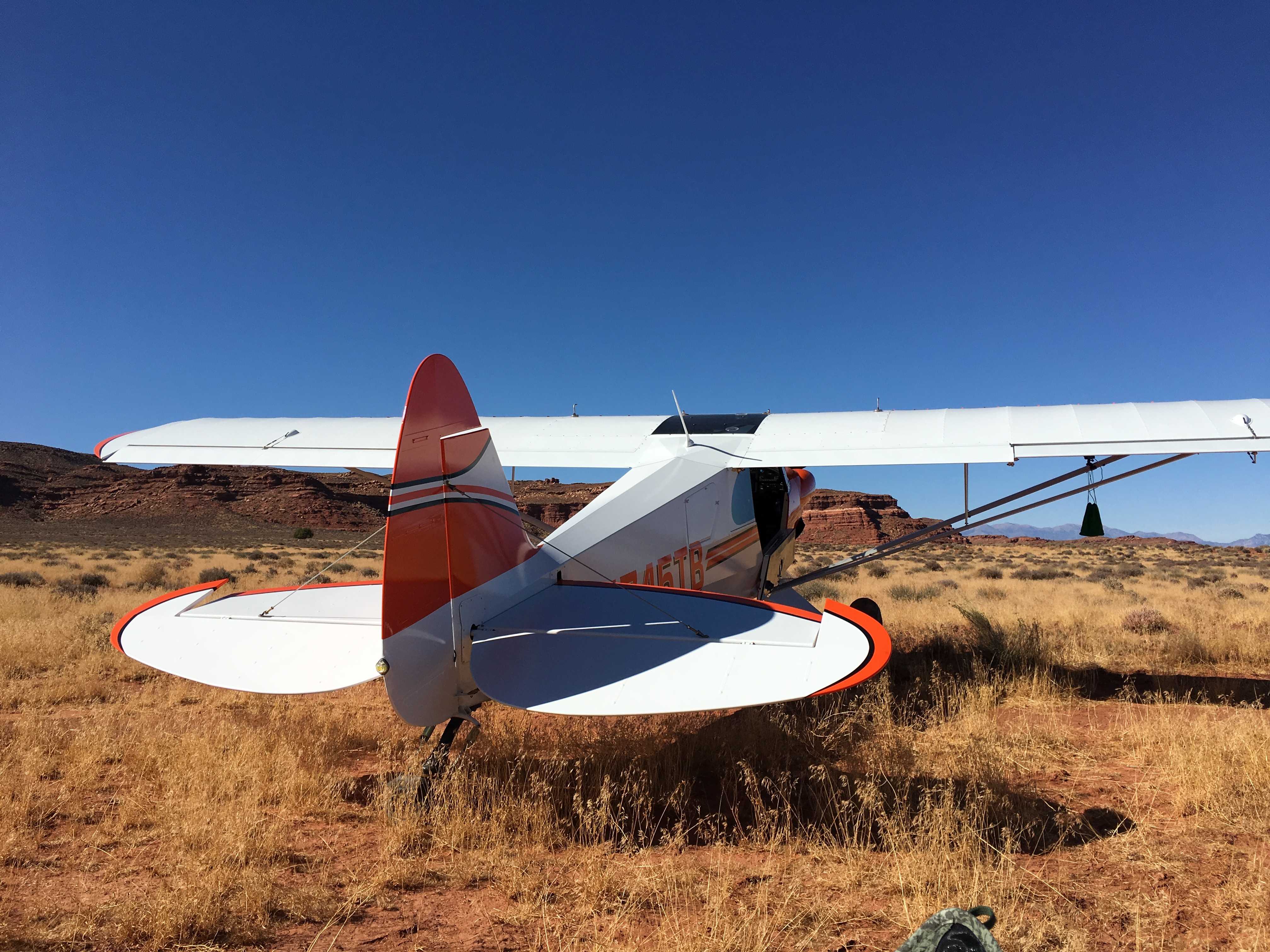
Runway: 1300 ft long x 12 ft wide two-track dirt road that is predominantly soft sand.
Approach Considerations: No unique hazards other than being short and soft.
Amenities: None
Windsock: No
Brown's Rim's airstrip has been identified on USGS maps since 1952. You can view this historic map below or download it by clicking here. On current topographic maps, the airstrip has been given the designated route number D1958, likely being recognized by the County as a D route.