Airstrip Info
| Frequency | 122.90 |
|---|---|
| Elevation | 7400 ft |
| Lat/Long |
39.4252, -109.4935 39° 25.512' , -109° 29.61' |
| Runway 18/36 |
2650 ft
Dirt |
| Ownership | SITLA |
Weather
See more at the National Weather Center
Information updated January 10, 2023 @ 4:44pm
Airstrip is visible but overgrown. State land. Could be a rehab project.

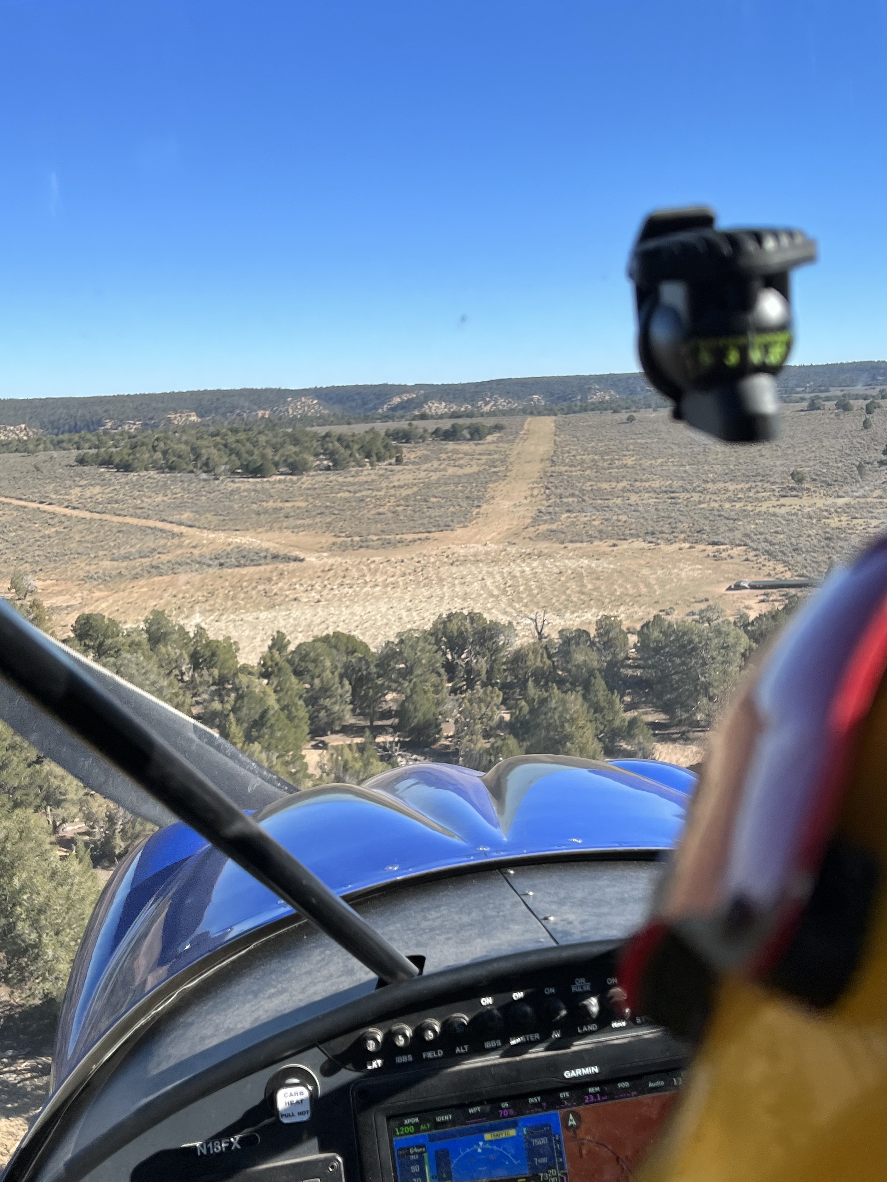
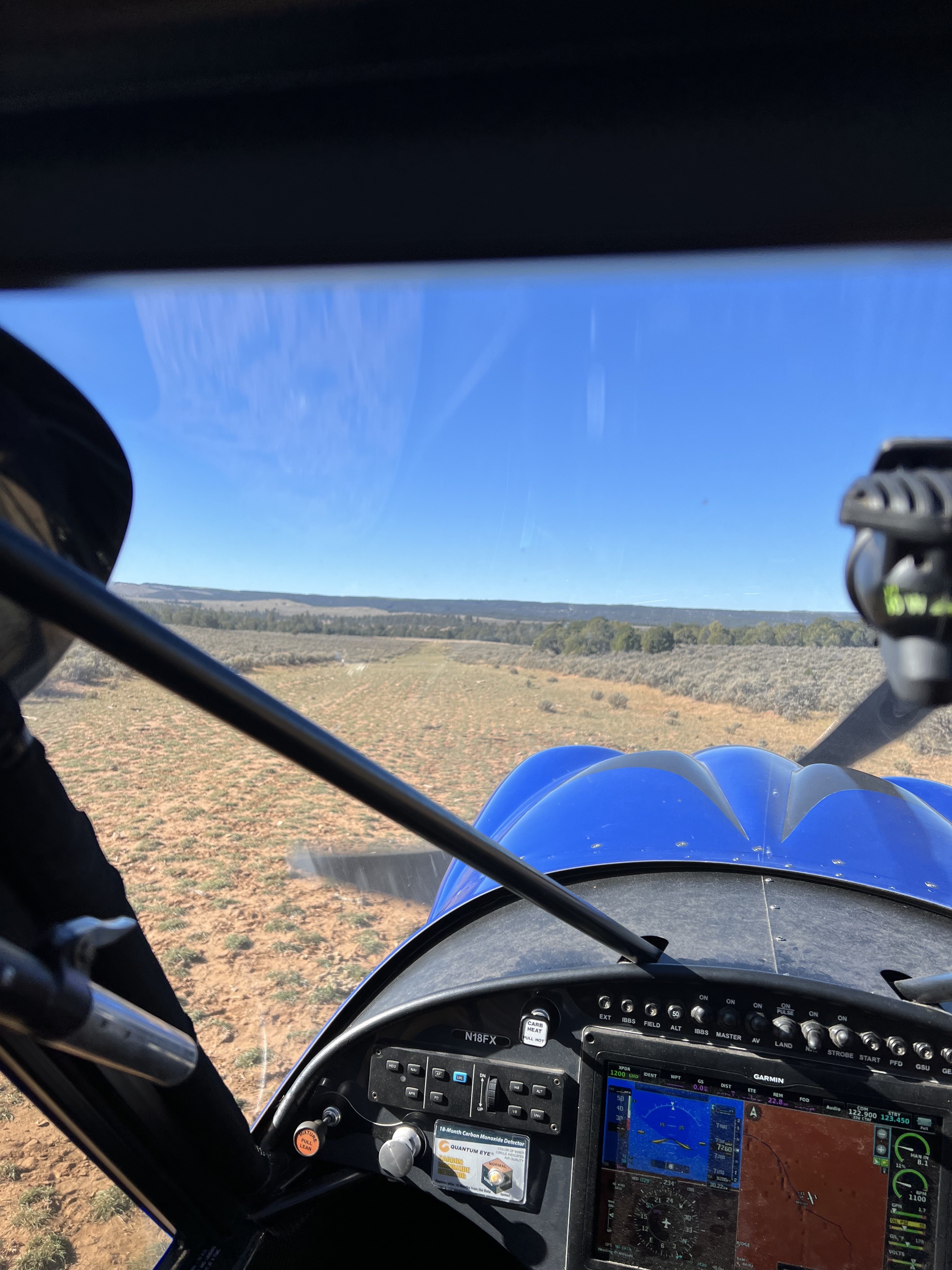
I made a low pass over the runway, but did not land. Since I landed there last, probably 5+ years ago, a lot of sagebrush has grown up on the center of the runway. A big tire tailwheel airplane would probably have no trouble. There are a few clear spots, maybe 200-300’ or so. A couple hours with a shovel to dig up sagebrush would make it quite useable. However, keep in mind that the useable part of it, once cleared, is probably only 1000-1500’ long and about 7500’ elevation.
We haven't written a history for this airstrip yet. If you would like to provide us with some information about this strip, please contact us today!