Airstrip Info
| Frequency | 122.90 |
|---|---|
| Elevation | 7538 ft |
| Lat/Long |
39.191, -110.6056 39° 11.46' , -110° 36.336' |
| Runway 15/33 |
2050 ft
x 47 ft
Dirt/Gravel Rwy 15 Uphill 0.9% |
| Ownership | BLM |
Amenities
Weather
See more at the National Weather Center
Information updated April 30, 2024 @ 1:05pm
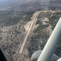
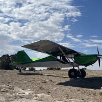
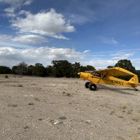
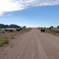
Description: Cedar Mountain's airstrip rests atop the similarly named Cedar Mountain, providing panoramic views of the Wasatch Plateau, Book Cliffs, Henry and La Sal Mountains.
Runway: 2000 feet long x 40 feet wide, well maintained gravel and dirt.
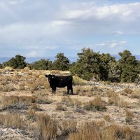
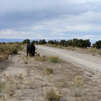
Approach Considerations: Southern end of the runway ends with a nice 1,500 feet vertical drop. Runway slopes uphill to the south. Be cognizant of vehicular traffic that may be driving on the southern end of the airstrip (Cedar Mountain Road runs through the runway).
Amenities: None
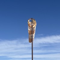
Windsock: Yes
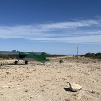
The south end of the Cedar Mountain airstrip is a spectacular place to camp. The camping area overlooks a 1,000 ft drop-off, with a panoramic view of the Book Cliffs and Green River valley. Bring your own aircraft tie-downs. Fire ring exists, but use caution, as the Cedar Mountain airstrip is frequently breezy.
We haven't written a history for this airstrip yet. If you would like to provide us with some information about this strip, please contact us today!
