Airstrip Info
| Frequency | Unknown |
|---|---|
| Elevation | Unknown |
| Lat/Long |
40.9055, -111.371 40° 54.33' , -111° 22.26' |
| Runway |
|
| Ownership | Private |
Weather
See more at the National Weather Center
Information updated October 17, 2024 @ 10:49am
Private strip. Appears to be serviceable. Prior permission required.
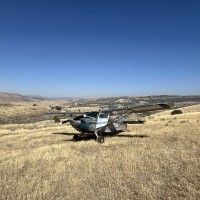
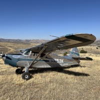
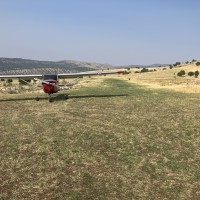
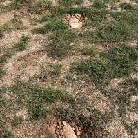
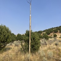
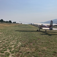
I decided visit Coalville airstrip today as I wanted to get in the air and go somewhere. Not the best of conditions with all the smoke cutting down visibility, but not enough to discourage me though. I have never been this airstrip before. On the Ariel map it looked like a fairly long runway but. once there not so clear from the air. The south part of the runway appeared to have turned into a two track dirt road leading up to a midpoint crest. The north part being more grass and level. Over flew it and decided to land. Once on the ground it "appears' the owner intends just the North half, roughly 1200', to be used. I walked the north 1200' and it is in pretty good shape. My Cessna with 5.00 wheels had no problem. A few 1' tall weeds at the north end and a couple of deceptively deep holes roughly half way. I filled in the holes and they should be no problem now. Didn't have anything with me to hack the weeds down though. According to google earth the strip sits at just under 6000' There is a pole and frame work for a sock should the UBCP want to upgrade it. Jay
We haven't written a history for this airstrip yet. If you would like to provide us with some information about this strip, please contact us today!
