Airstrip Info
| Frequency | 122.90 |
|---|---|
| Elevation | 7335 ft |
| Lat/Long |
37.6654, -110.0271 37° 39.924' , -110° 1.626' |
| Runway 5/23 |
4000 ft
Dirt |
| Ownership | BLM NM |
Weather
See more at the National Weather Center
Information updated July 9, 2025 @ 5:24pm
Deer Flat Airstrip is TEMPORARILY CLOSED. The airstrip is within the Bears Ears National Monument and the airstrip use is not allowed until the BLM has completed a NEPA evaluation of the airstrip.
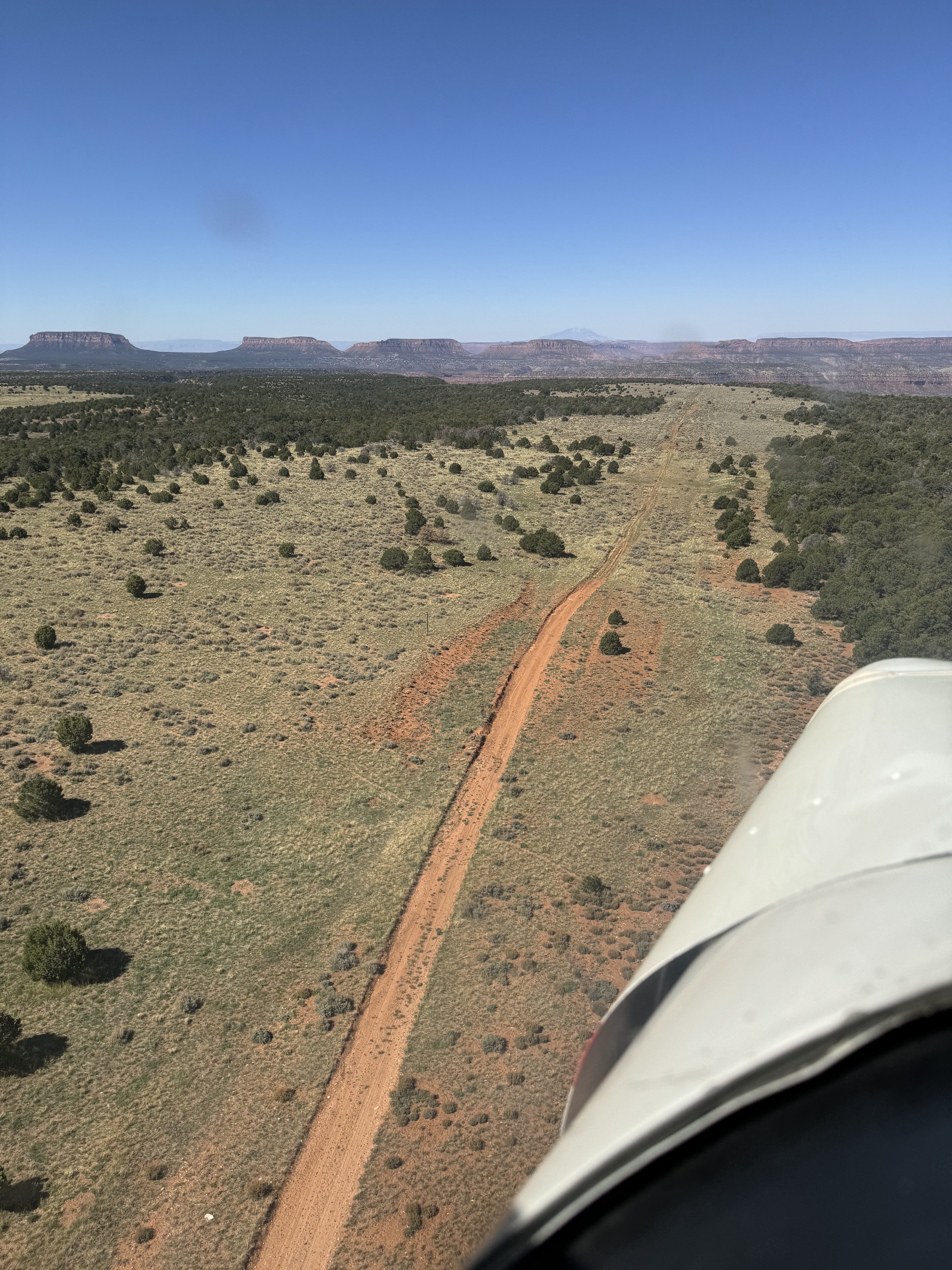
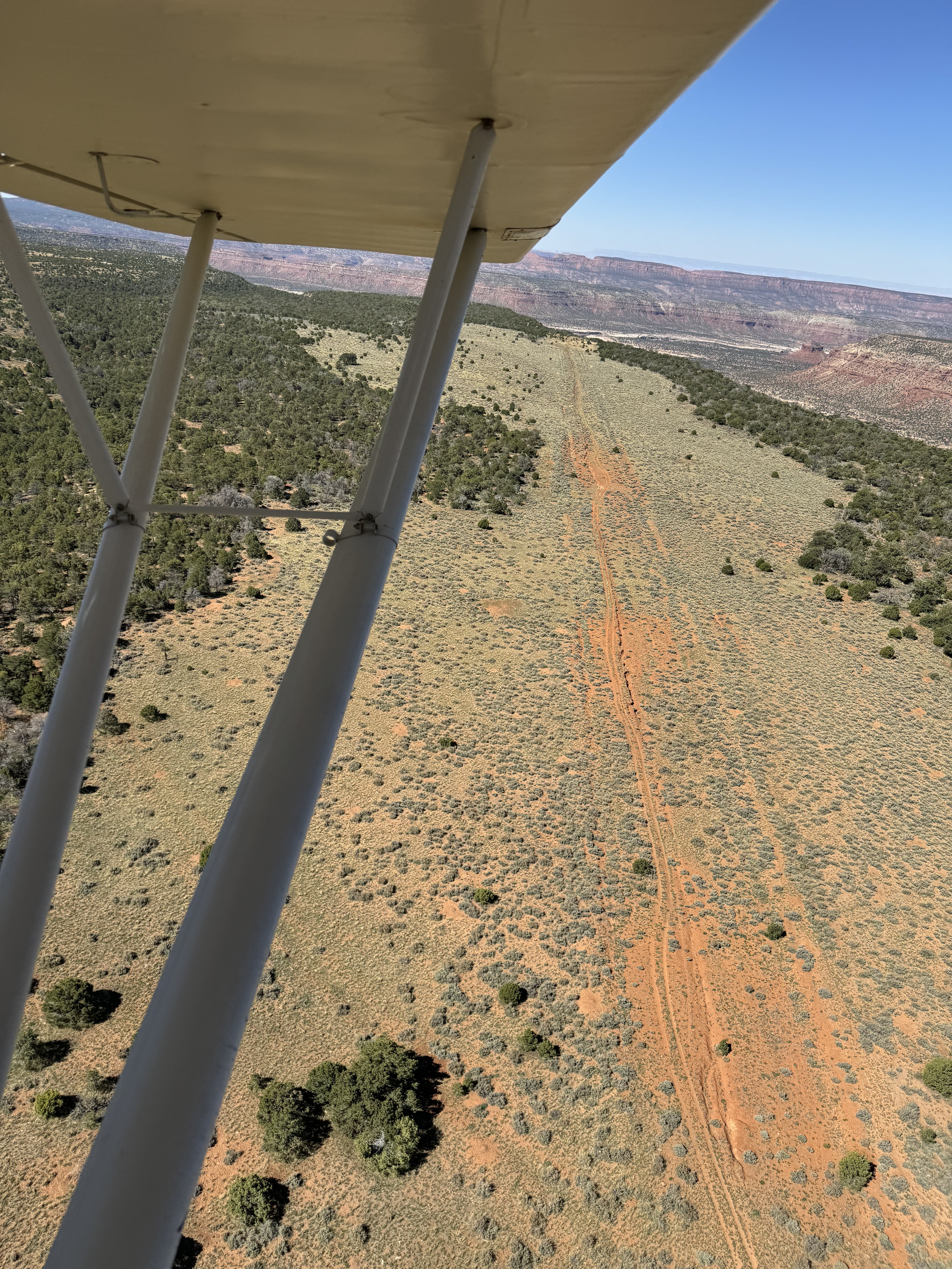
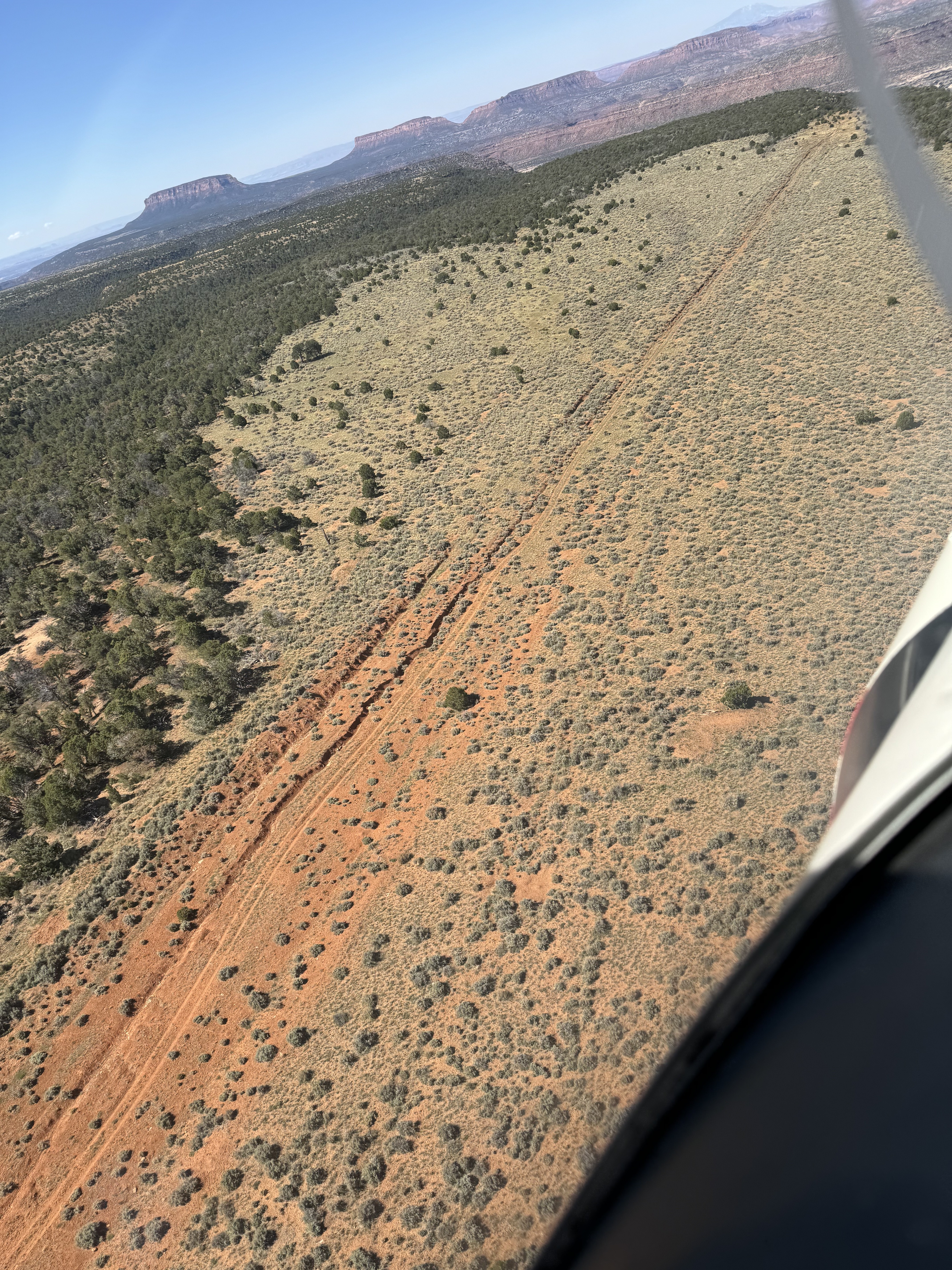
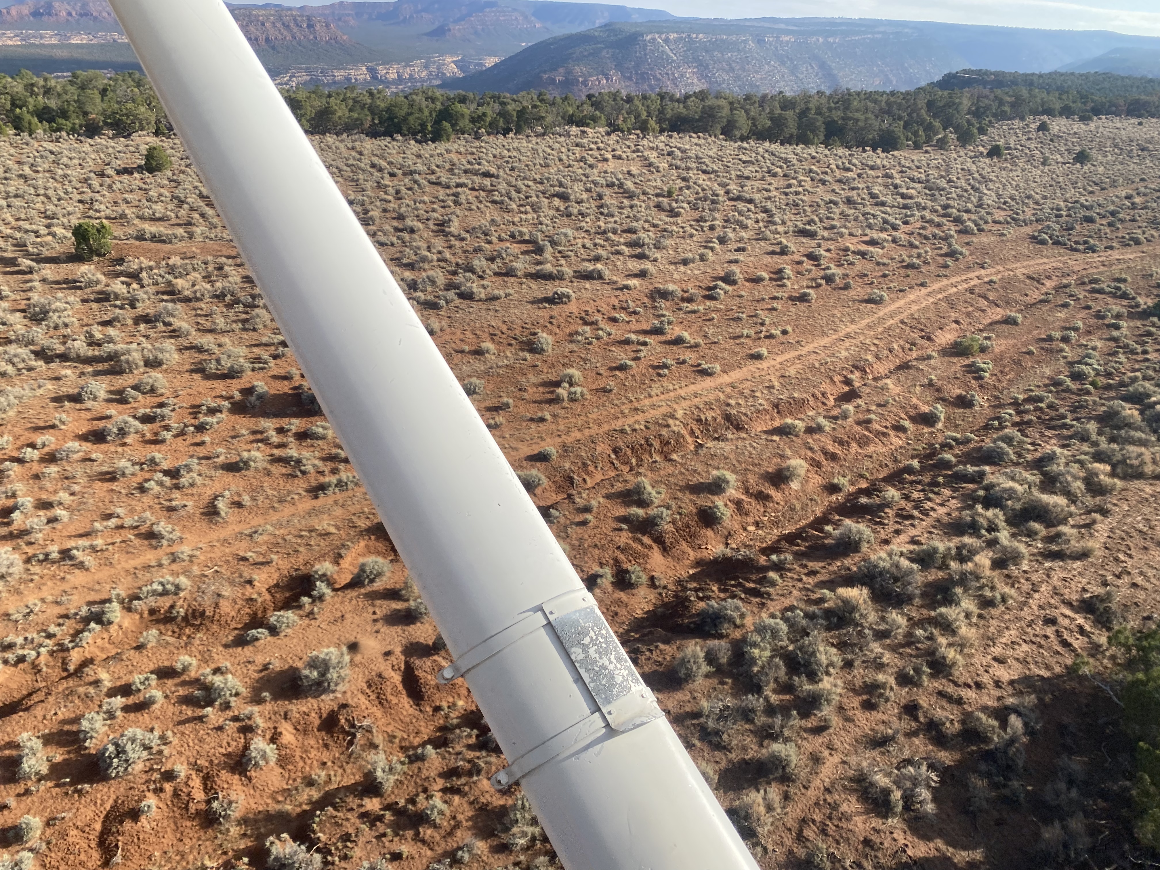
Strip is visible. Erosion also visible on the southwest 2/3s. Northeast 1/3 portion where the road runs through it may be useable. Looks to otherwise be overgrown with brush.
Erosion ditch runs down the middle of the airstrip. Airstrip surface is full of small sagebrush, but too big to land & roll aircraft tires over. This airstrip is a good candidate for an airstrip work party. Fabulous canyon overlook views at south end of airstrip and along west side. The dirt road that leads into the airstrip is a better place to land than the airstrip itself at the moment.


Deer Flat's airstrip has been identified on USGS maps since 1954. You can view this historic map below or download it by clicking here.