Airstrip Info
| Frequency | 122.90 |
|---|---|
| Elevation | 4153 ft |
| Lat/Long |
38.1734, -110.4454 38° 10.404' , -110° 26.724' |
| Runway 18/36 |
1200 ft
x 18 ft
Sand Rwy 36 Uphill 2.0% |
| Ownership | BLM |
Amenities
Weather
See more at the National Weather Center
Information updated September 17, 2022 @ 1:33pm
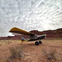
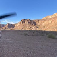
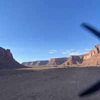
Description: Dirty Devil sits on a raised flat-top mesa immediately east of the Dirty Devil River.
Runway: 1200 ft long x 18 ft wide runs the entire length of the mesa. Airstrip can be soft at certain times of the year.
Approach Considerations: Short runway with no safety overruns on either end. Recommend landing north and departing south due to slight uphill grade. First hundred feet of landing distance has in the past been softer than the majority of the landing surface.
Amenities: None. Parking area at the northwest end of the landing surface can only accommodate 2-3 airplanes.
Windsock: Yes, but watch out for cacti around the windsock!
Landed north, departed to the south. Good windsock present, and nice fire ring made of large chunks of petrified wood, which are found copiously just down the hill from the airstrip. Bring firewood if you're camping - would be challenging to scramble down to the Dirty Devil river to search for driftwood.
Winds were out of the North for landing on the afternoon of Apr 20 and out of the South for our morning departure on the 21st. Gusty winds overnight forced us to tie down our airplane on the runway where the soil is more compacted and our tie downs more secure during nighttime hours. Landed up hill to the north and took off down hill as suggested in the notes and would have taken off down hill until 10kt or greater winds. We camped overnight and thoroughly enjoyed the breathtaking beauty of this place. Round trip hike down to the river bed is about 1.5-2 miles to the north.
We haven't written a history for this airstrip yet. If you would like to provide us with some information about this strip, please contact us today!


