Airstrip Info
| Frequency | Unknown |
|---|---|
| Elevation | Unknown |
| Lat/Long |
37.613, -110.1394 37° 36.78' , -110° 8.364' |
| Runway |
|
| Ownership | BLM NM |
Weather
See more at the National Weather Center
Information updated July 9, 2025 @ 5:28pm
Fry Canyon South Airstrip is TEMPORARILY CLOSED. The airstrip is within the Bears Ears National Monument and the airstrip use is not allowed until the BLM has completed a NEPA evaluation of the airstrip.
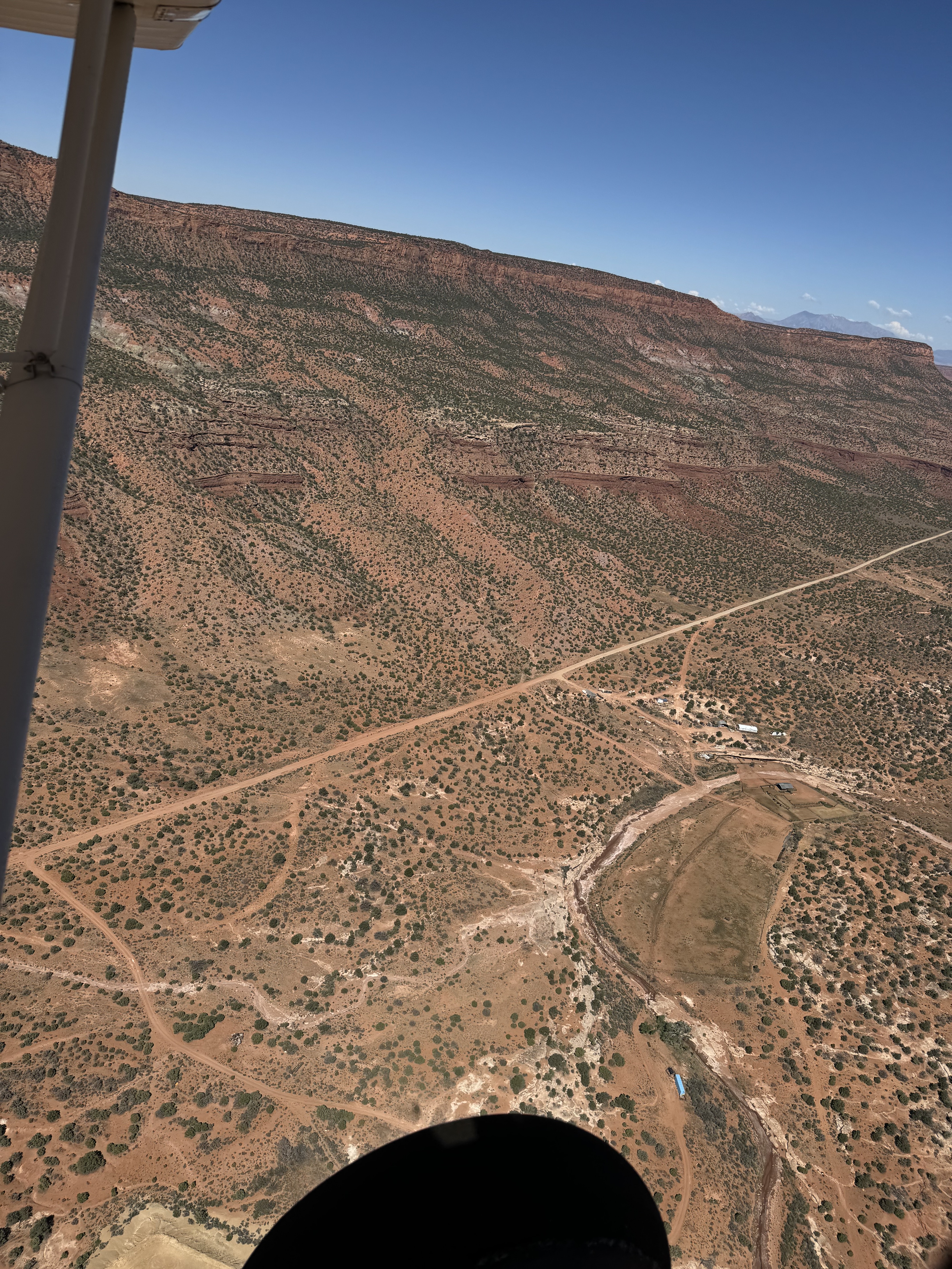
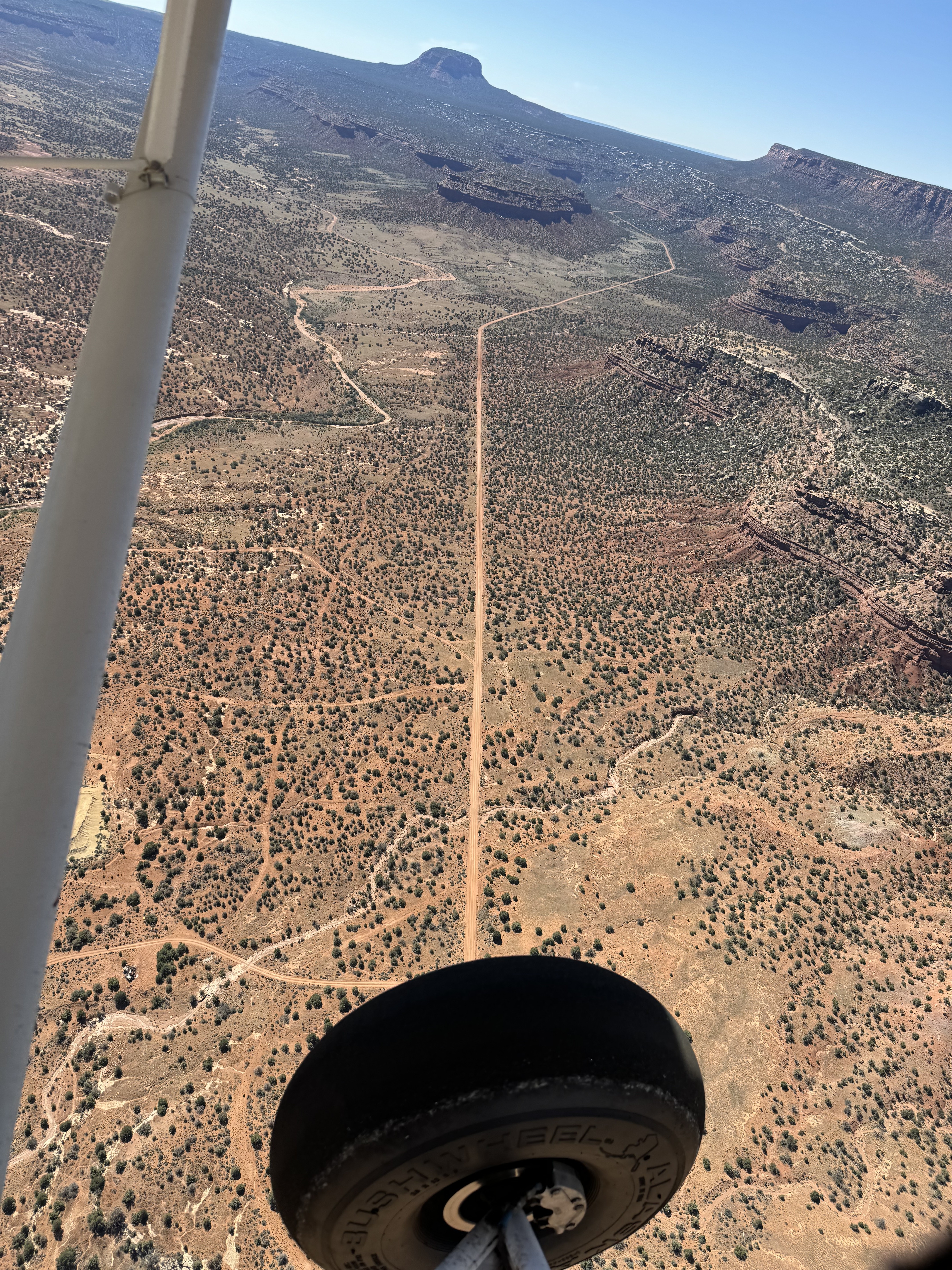
The historical Fry Canyon South airstrip was supposedly on the west side of the road (right side in photo, or above the road in the other photo). I could not see any evidence of the historical airstrip, unless it’s now the road itself. There are some long straight sections in the road that are suitable for landing, but not much room to turn around. But then why would someone want to land at Fry Canyon South when Fry Canyon is only a couple of miles away?
Fry Canyon South's airstrip has been identified on USGS maps since 1952. You can view this historic map below or download it by clicking here.