Airstrip Info
| Frequency | 122.90 |
|---|---|
| Elevation | 4941 ft |
| Lat/Long |
38.1569, -110.2916 38° 9.414' , -110° 17.496' |
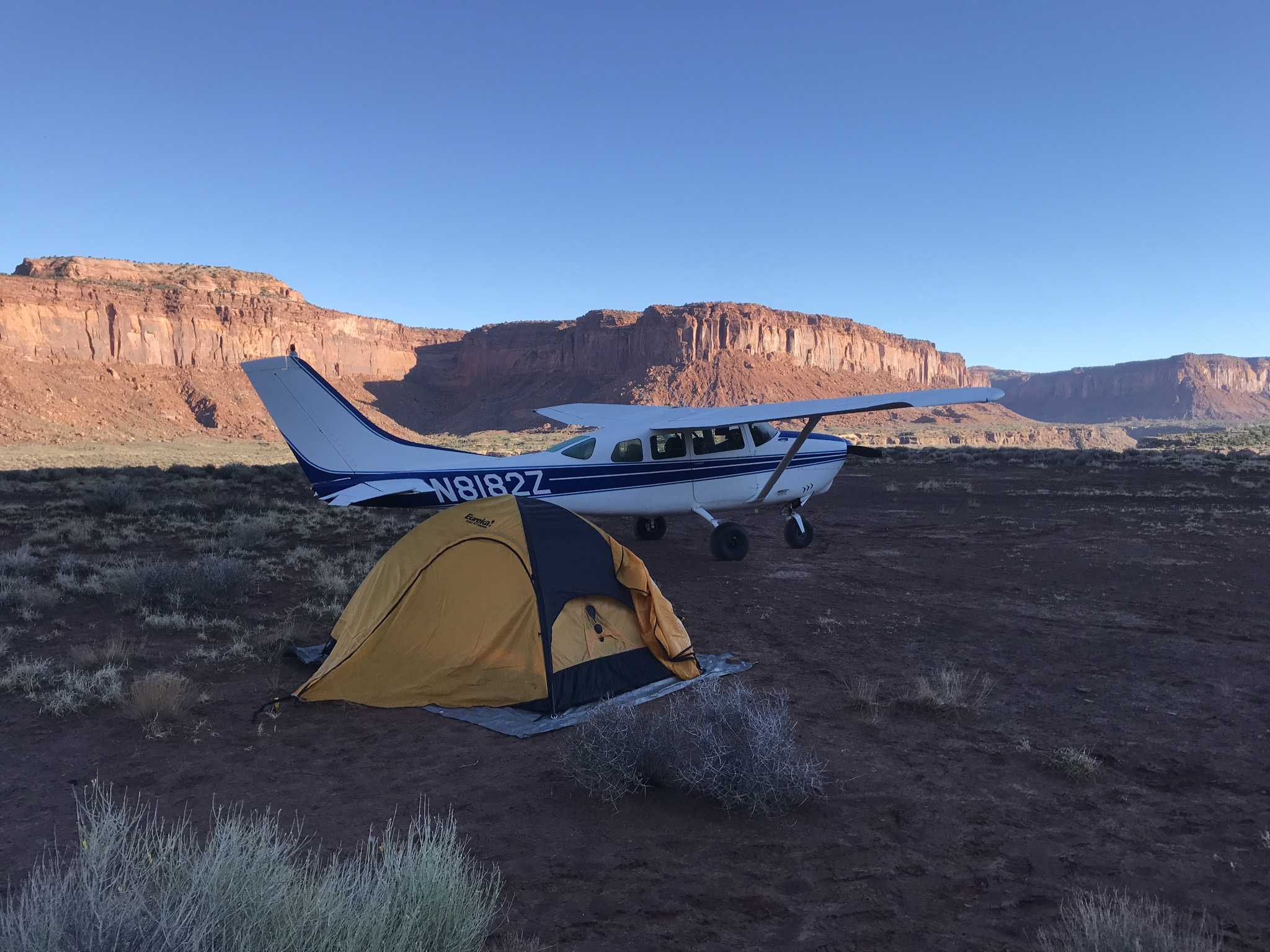
| Runway 09/27 |
1385 ft
x 50 ft
Dirt Rwy 9 Uphill 1.4% |
| Ownership | SITLA |
Amenities
Weather
See more at the National Weather Center
Information updated January 28, 2025 @ 4:53pm
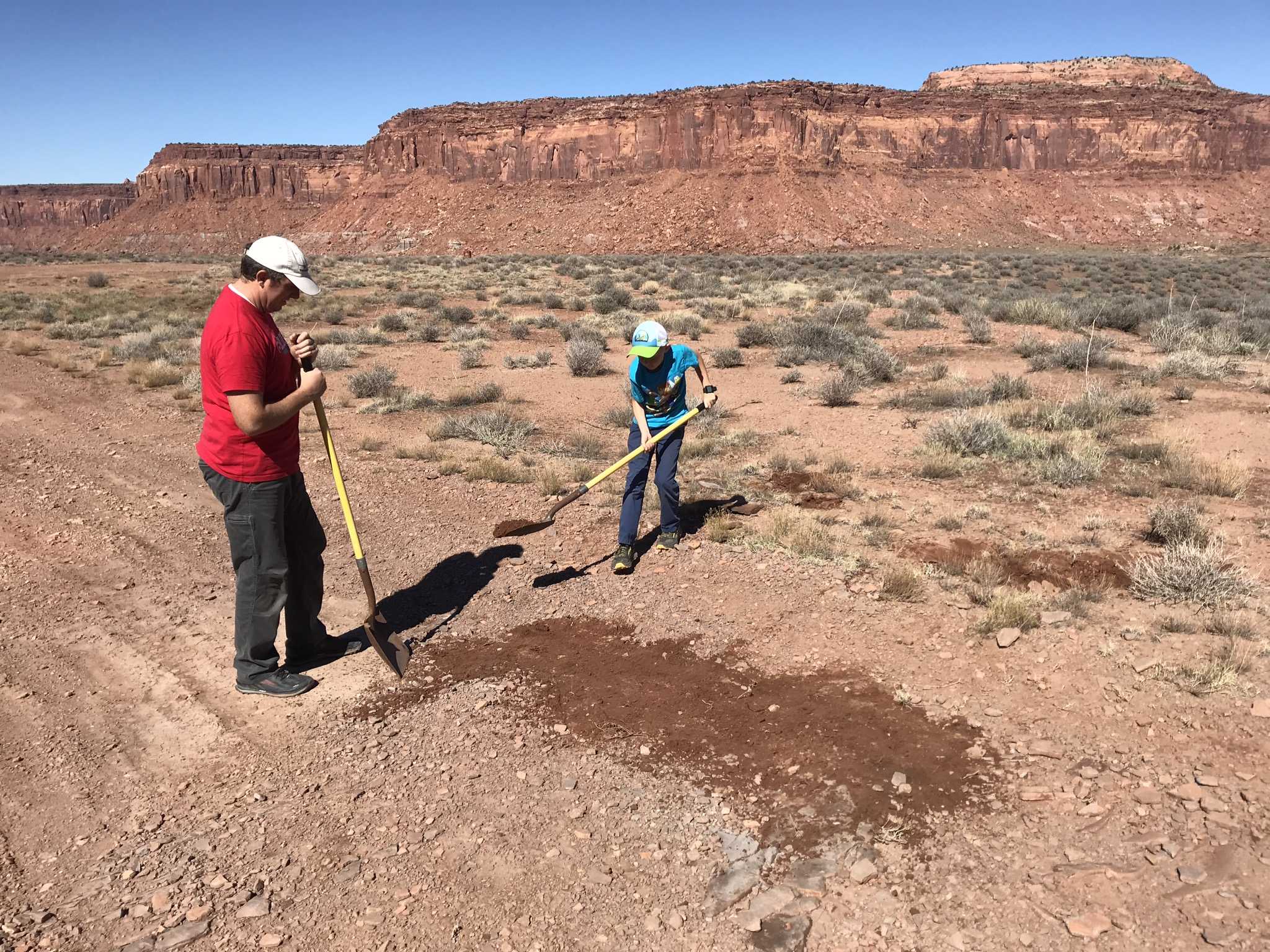
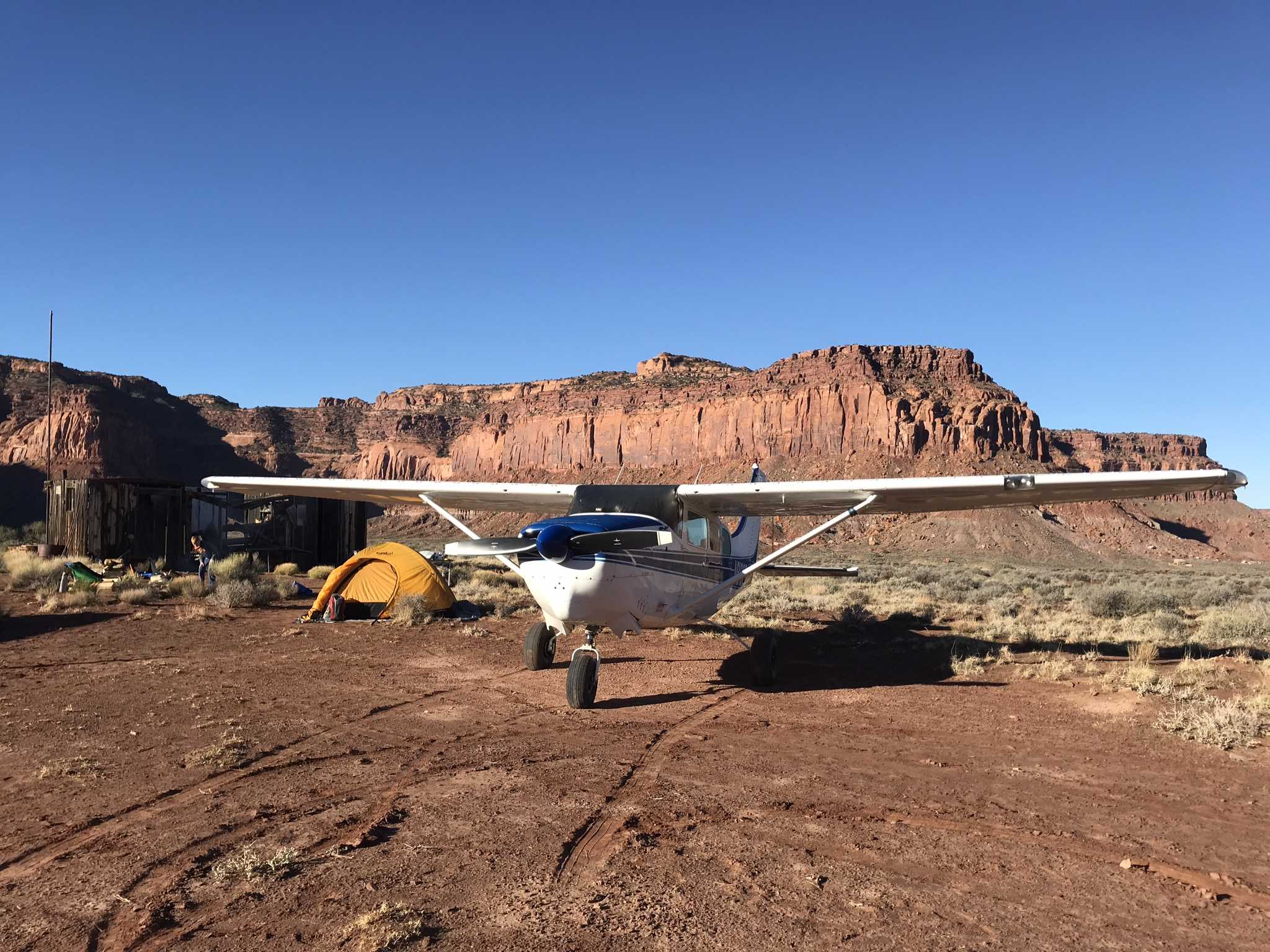
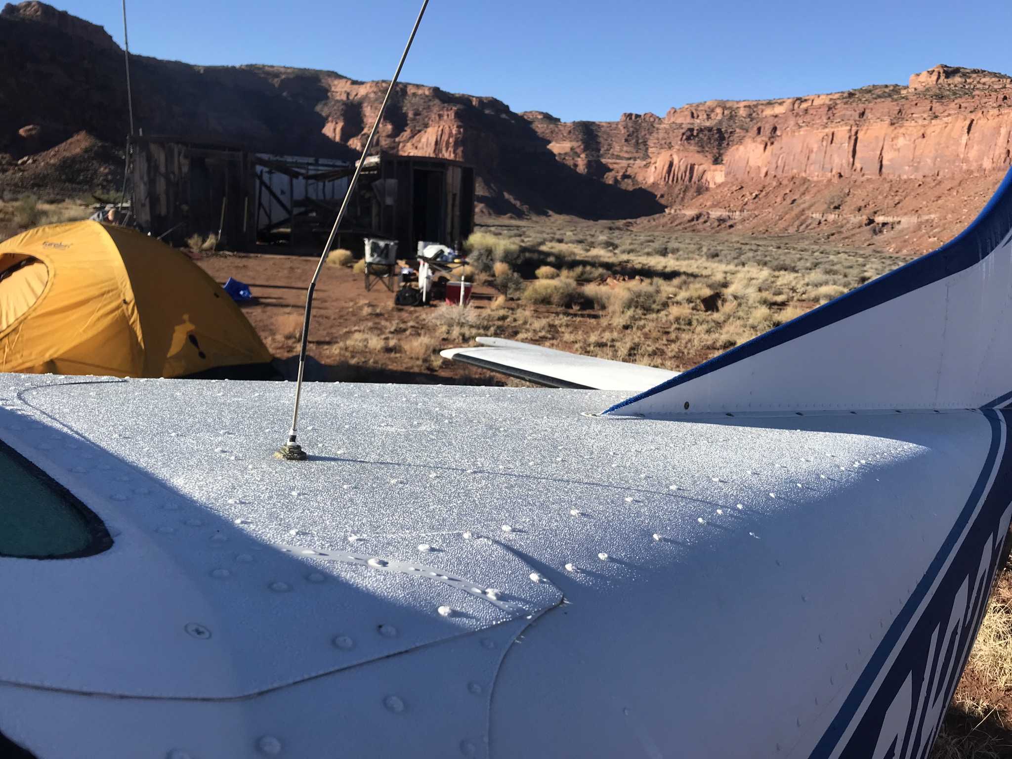
Description: Strongly suggest obtaining local knowledge prior to landing for the first time. Landing strip currently leased to Utah Back Country Pilots for non-commercial use only. UBCP requests no man-made artifacts (drill bits, tools, etc.) be removed, and that visitors avoid the shacks as to not damage them. Emergency water and runway grading tools in shack.
Runways: RWY 9 is uphill 1.38% and has displaced threshold due to overgrown brush. East end 50 feet higher. Touch down point may be difficult to determine by the first time visitor. Threshold markers should be present.
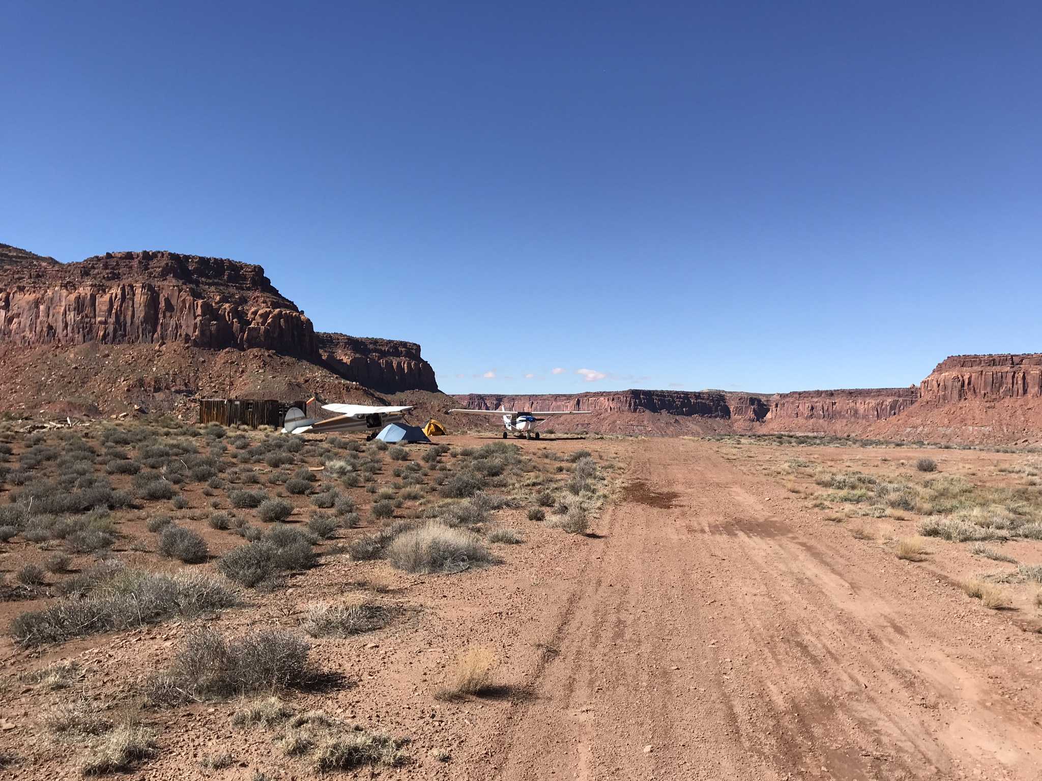
Additional runway 18/36: 845 feet long x 50 feet wide, very soft dirt. Slightly uphill to the north.
Approach Considerations: Unfamiliar pilots should positively identify the touchdown zone as the runway appears to be longer than it is. Recommend land east, depart west.
Amenities: Parking areas are at east end and very soft.
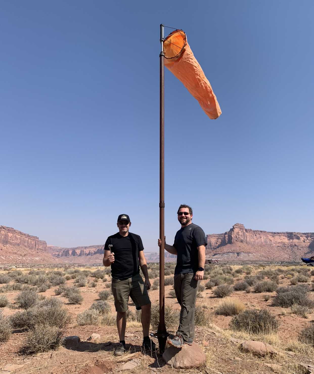
Windsock: Wind sock west of miner's shack.


We haven't written a history for this airstrip yet. If you would like to provide us with some information about this strip, please contact us today!