Airstrip Info
| Frequency | 122.90 |
|---|---|
| Elevation | 5290 ft |
| Lat/Long |
38.5132, -110.1062 38° 30.792' , -110° 6.372' |
| Runway 03/21 |
3500 ft
x 10 ft
Dirt Road Rwy 21 Uphill 0.7% |
| Ownership | BLM |
Weather
See more at the National Weather Center
Information updated May 13, 2021 @ 7:46pm
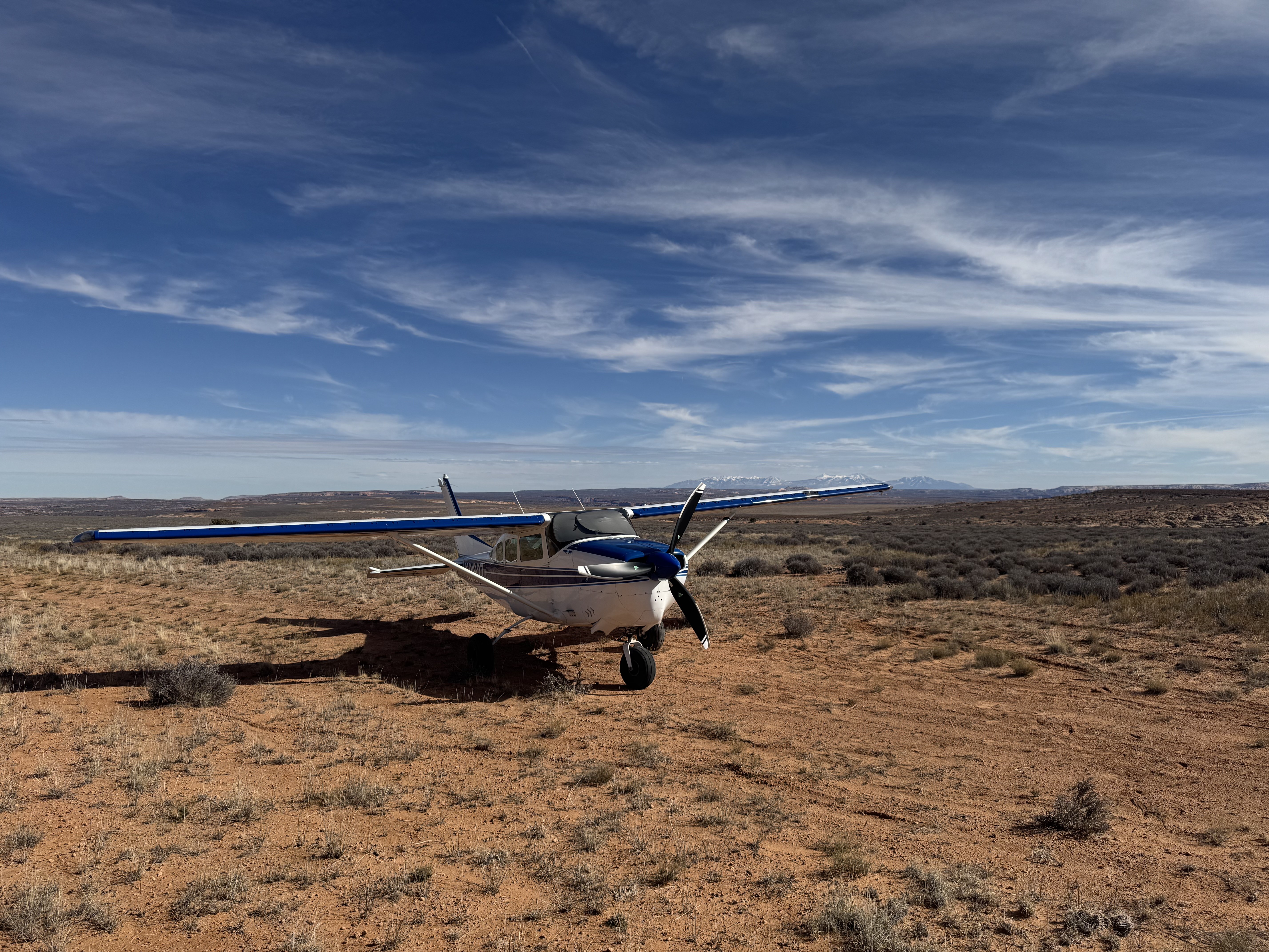
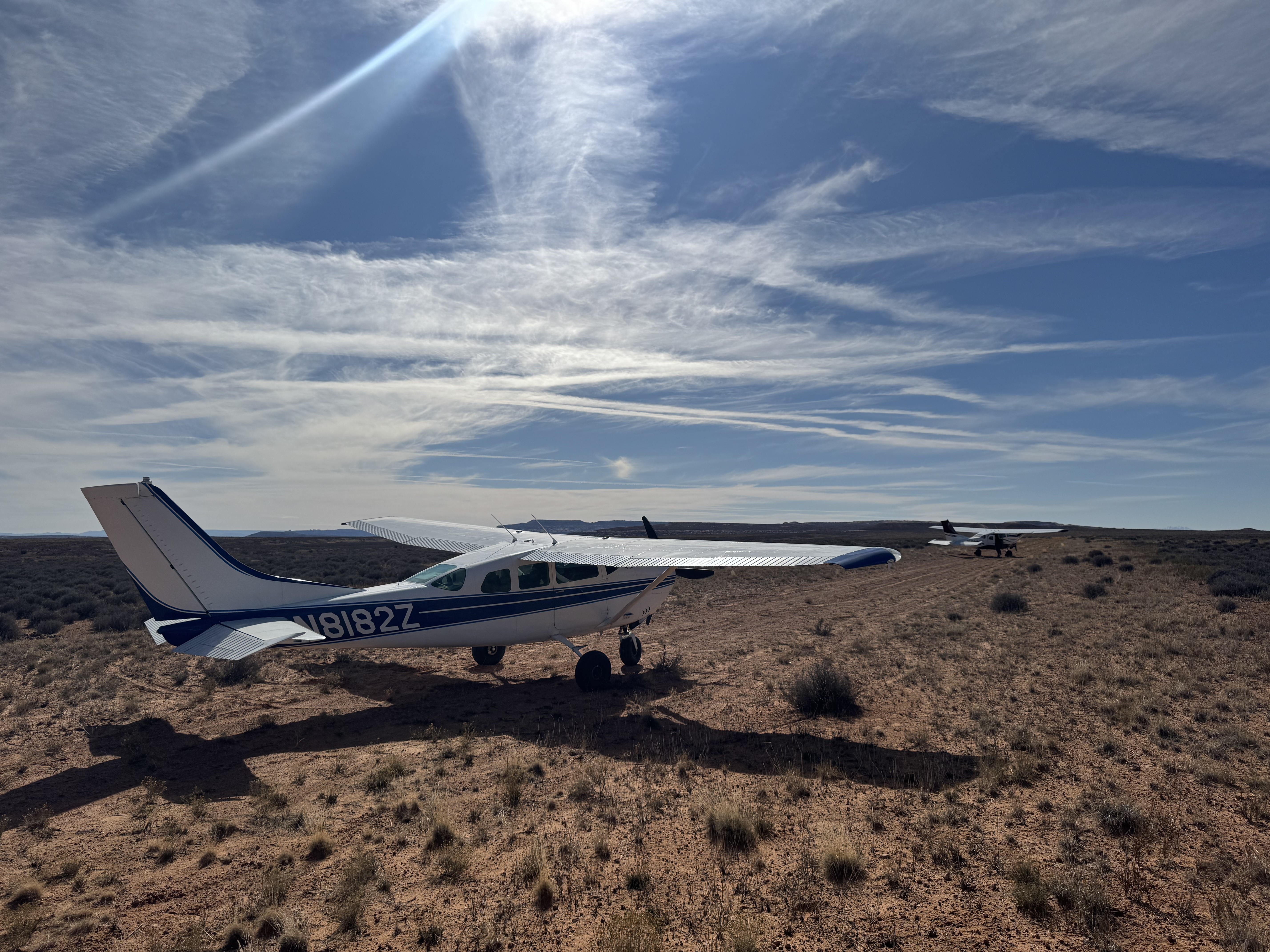
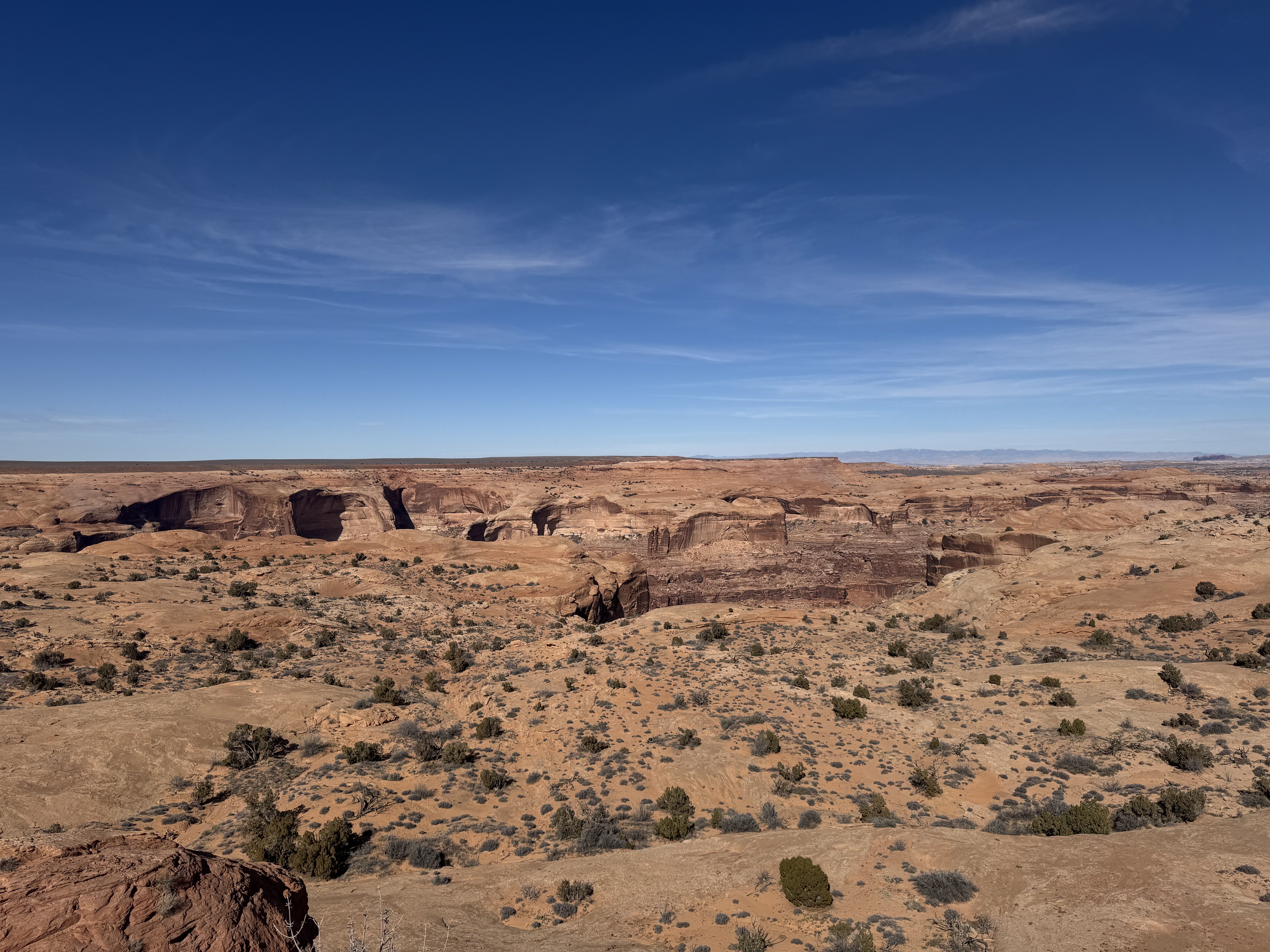
Description: Horseshoe Canyon's airstrip is an improved dirt road that is comparatively firmer than Keg Knoll. This airstrip is one of the airstrips that has been included in the Emery County Public Land Management Act of 2019 residing in the proposed Labyrinth Canyon Wilderness Area. The UBCP is currently working with our contacts at the BLM and the County regarding access to this airstrip.
Runway: 3600 ft long x 40 ft wide dirt runway in good condition. Slightly slopes uphill to the north.
Approach Considerations: None.
Amenities: None.
Windsock: No

We haven't written a history for this airstrip yet. If you would like to provide us with some information about this strip, please contact us today!