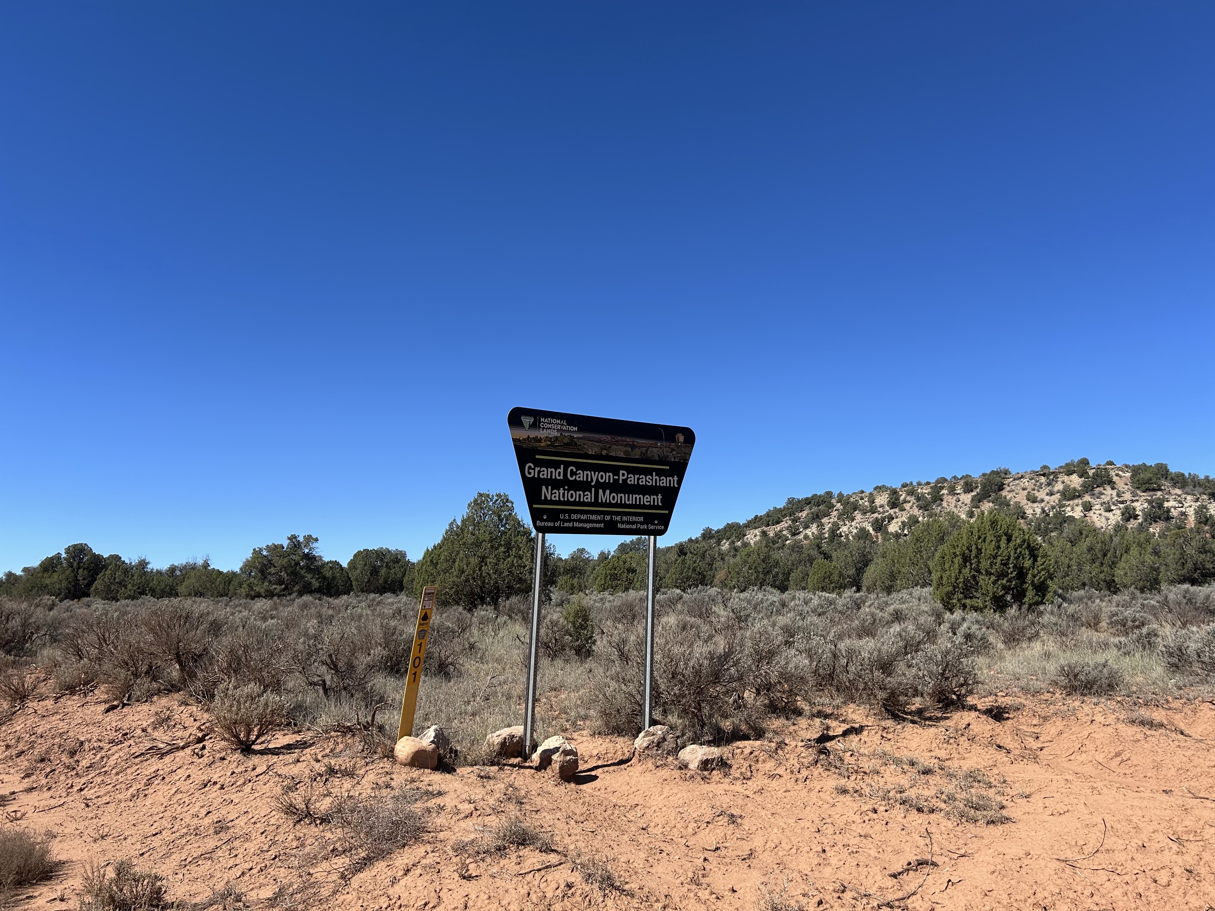
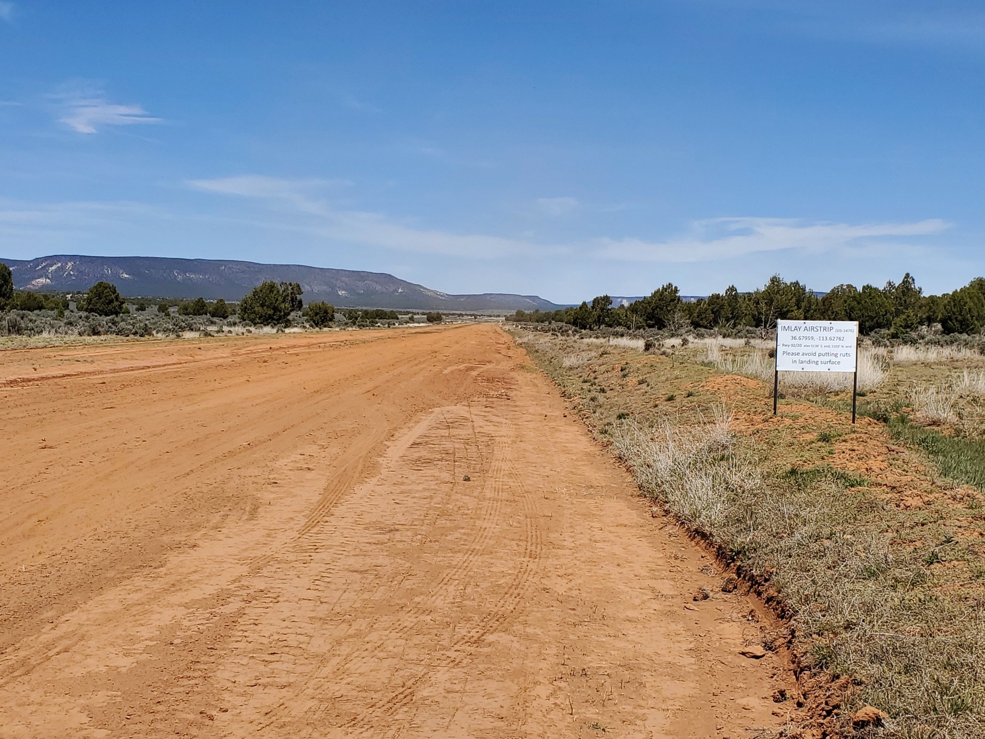
Airstrip Info
| Frequency | Unknown |
|---|---|
| Elevation | 5136 ft |
| Lat/Long |
36.6796, -113.6276 36° 40.7753' , -113° 37.6572' |
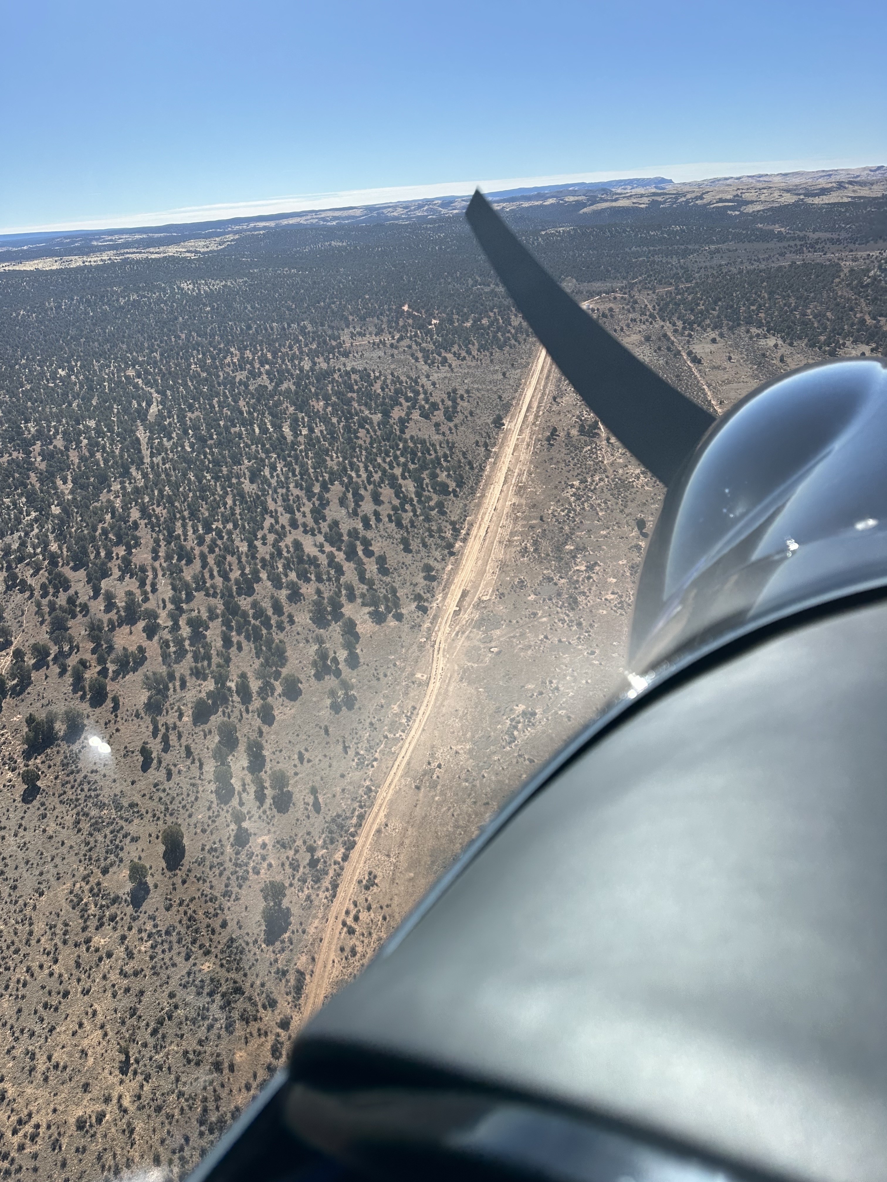
| Runway 02/20 |
2200 ft
x 30 ft
|
| Ownership |
Weather
See more at the National Weather Center
We haven't written a description for this airstrip yet. If you would like to provide us with some information about this strip, please contact us today!
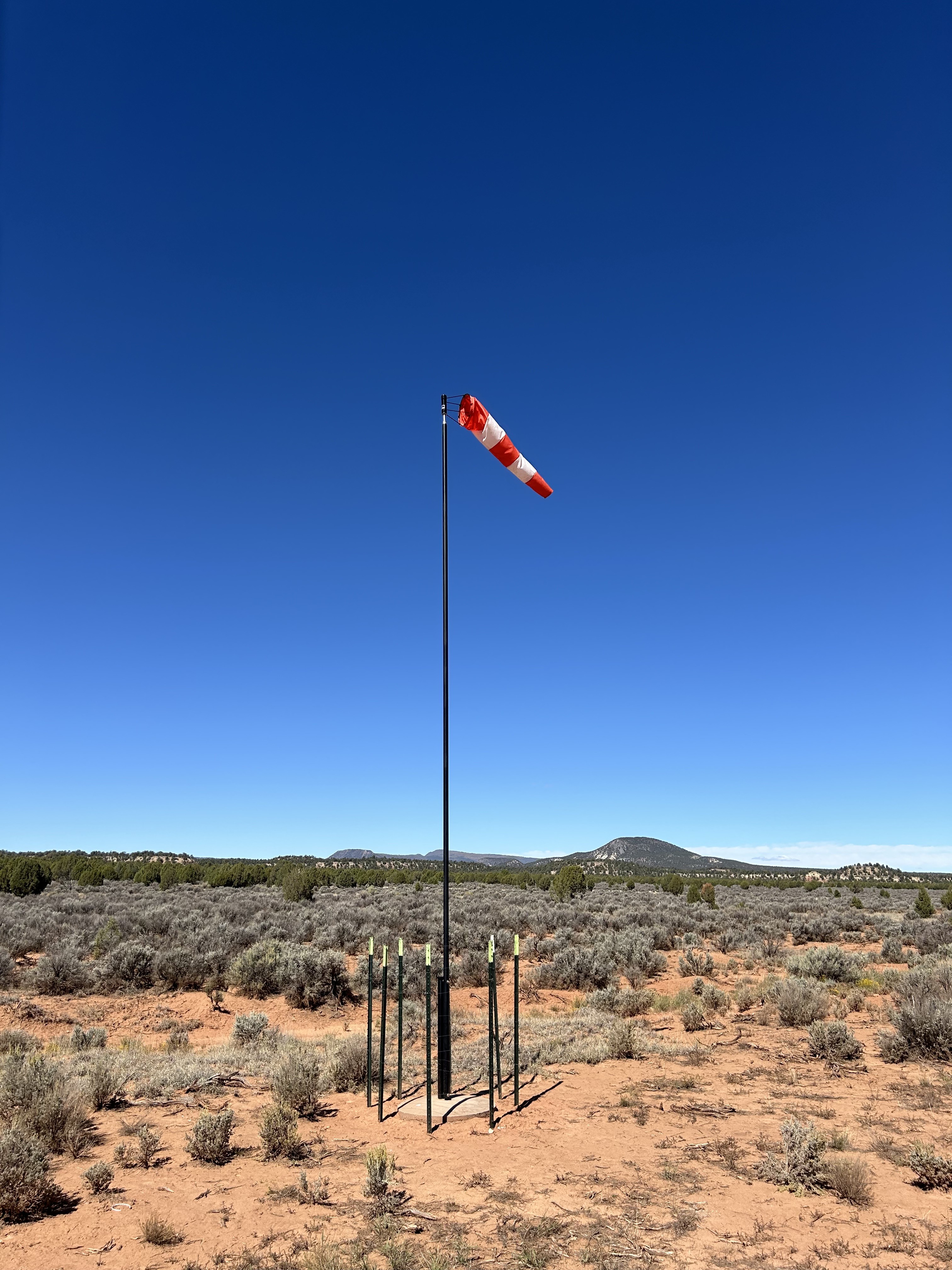
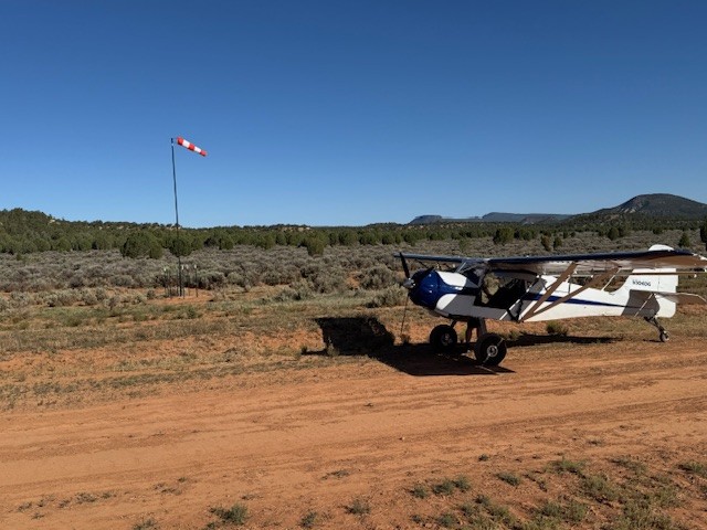
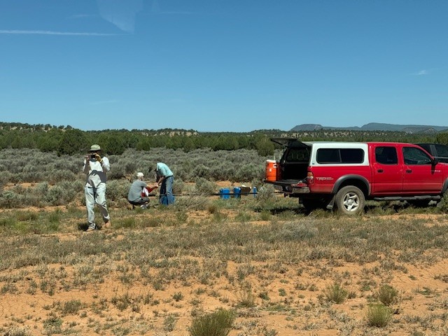
UBCP Association members along with Southern Utah Aviation Association members cemented in the base and erected a windsock pole at Imlay Airstrip this past week. The sock is located about mid-field, 75 feet west of the strip. It's an orange & white striped 54" sock. We also dragged the weeds off the strip and south parking area. Strip is a little dusty, but nice and smooth and the whole width is again usable.


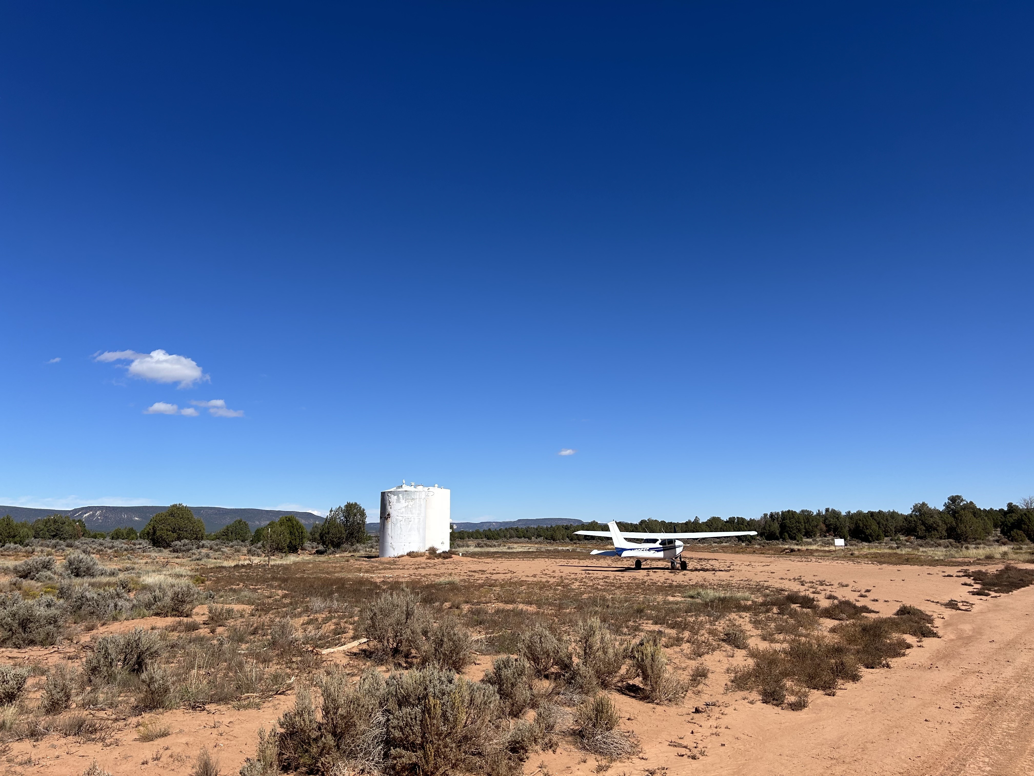
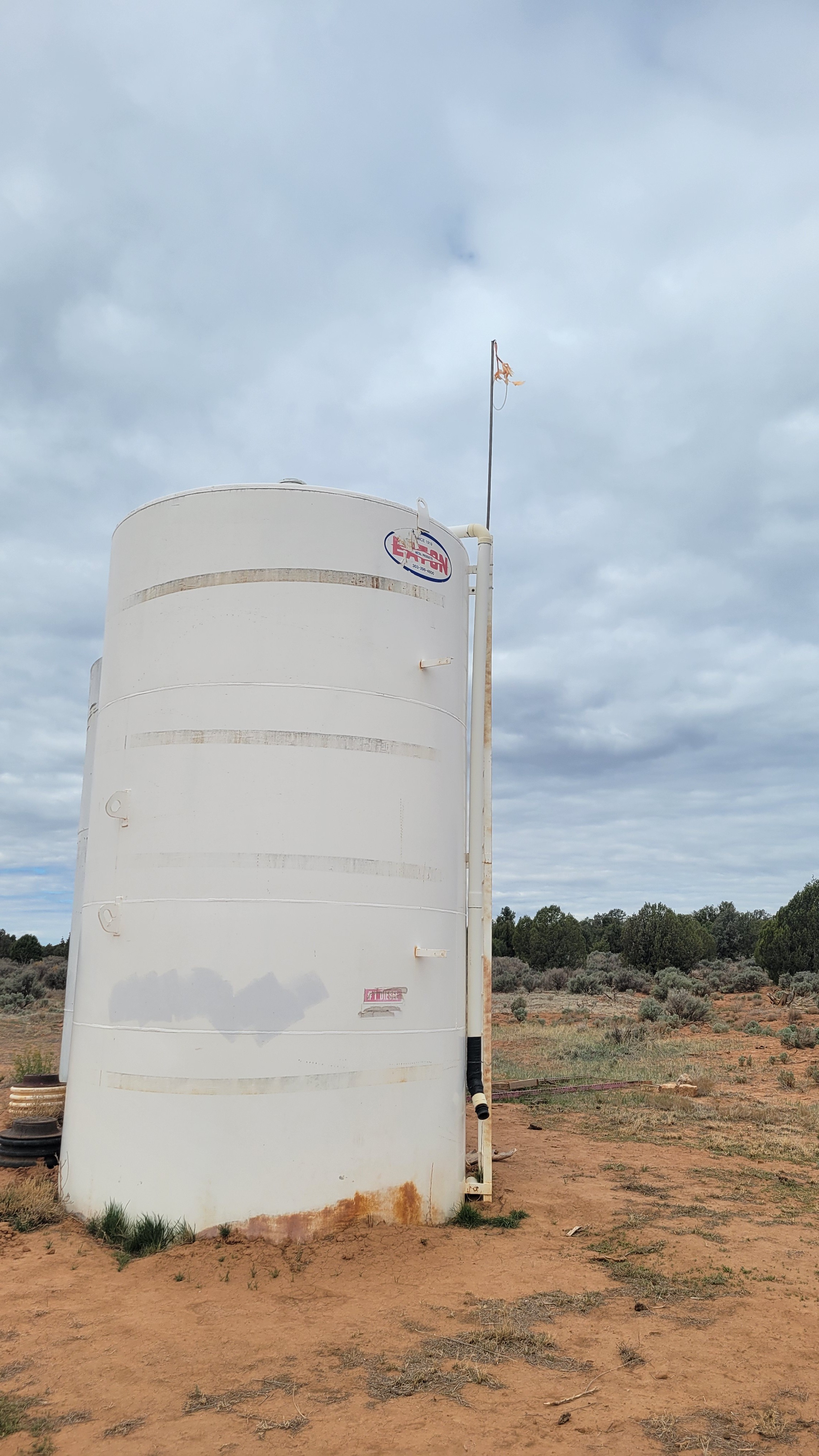
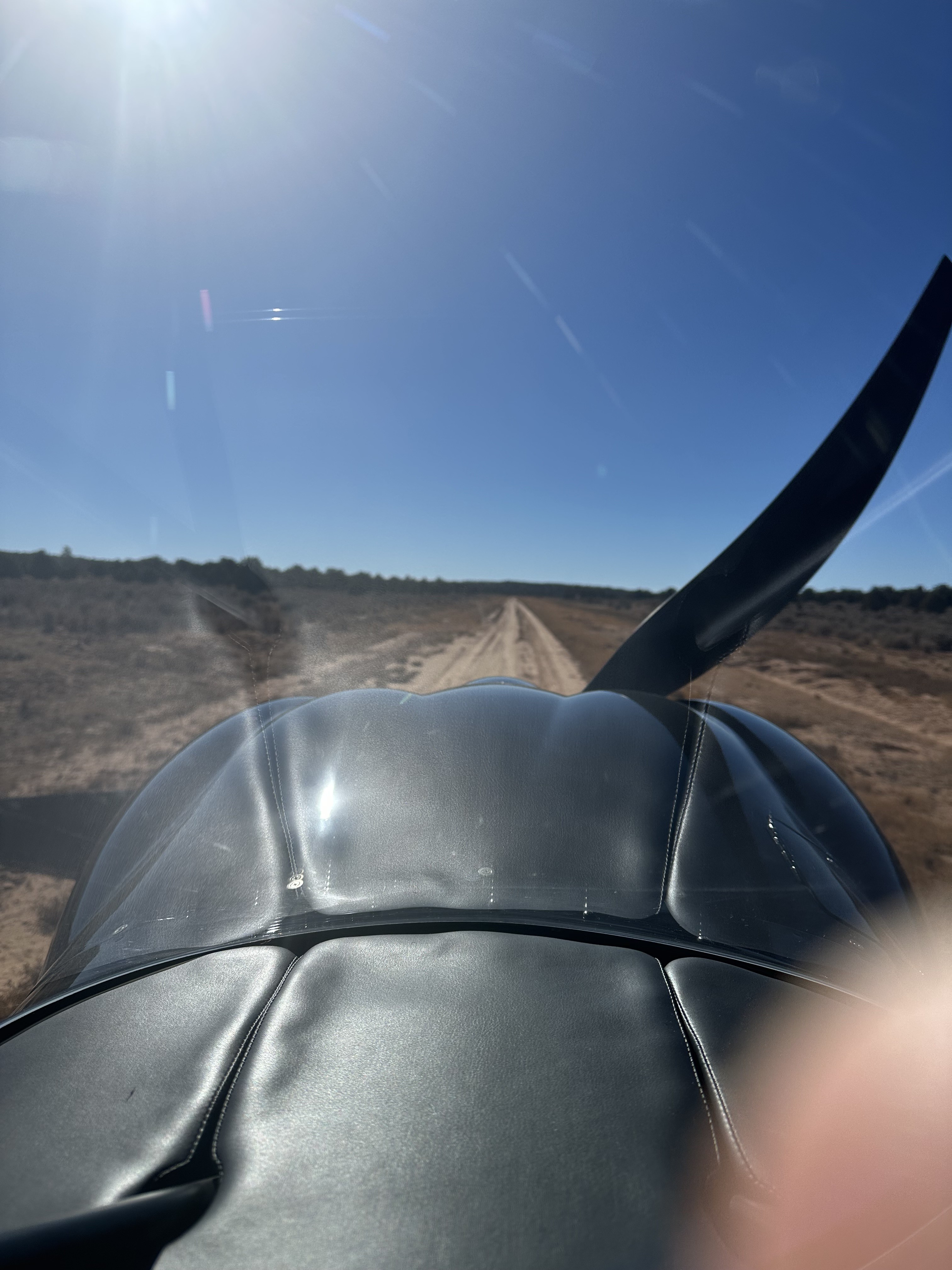
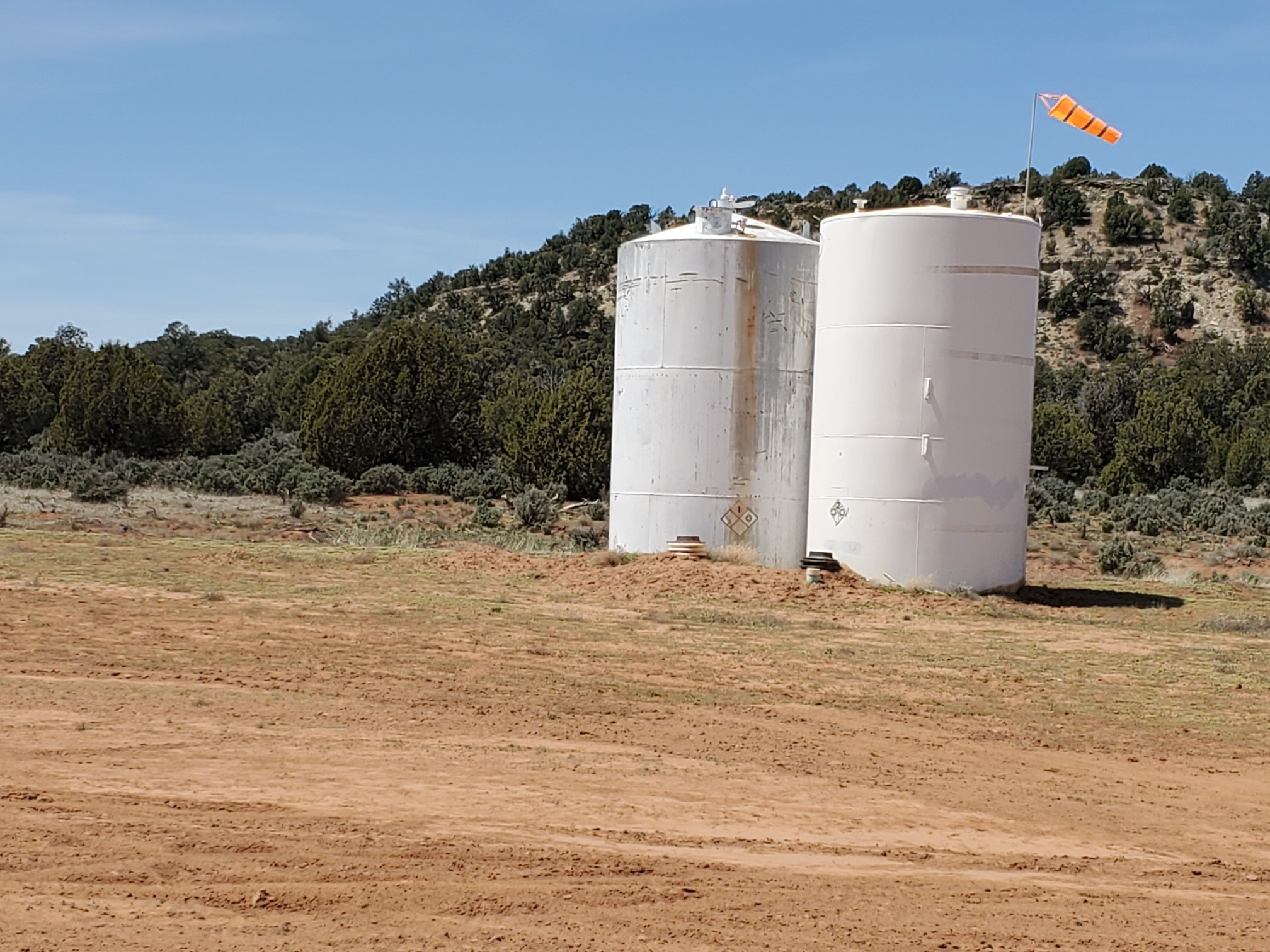
Firm and smooth. It is being used as a road, which keeps the weeds off a narrow strip just off center of the airstrip. It's much wider that it appears. I walked the strip, and with the exception of a few cow tracks and ant hills, it's all smooth. The windsock is just a tattered strip of faded material hanging from the water tank, but most likely the wind will be coming from the south west.
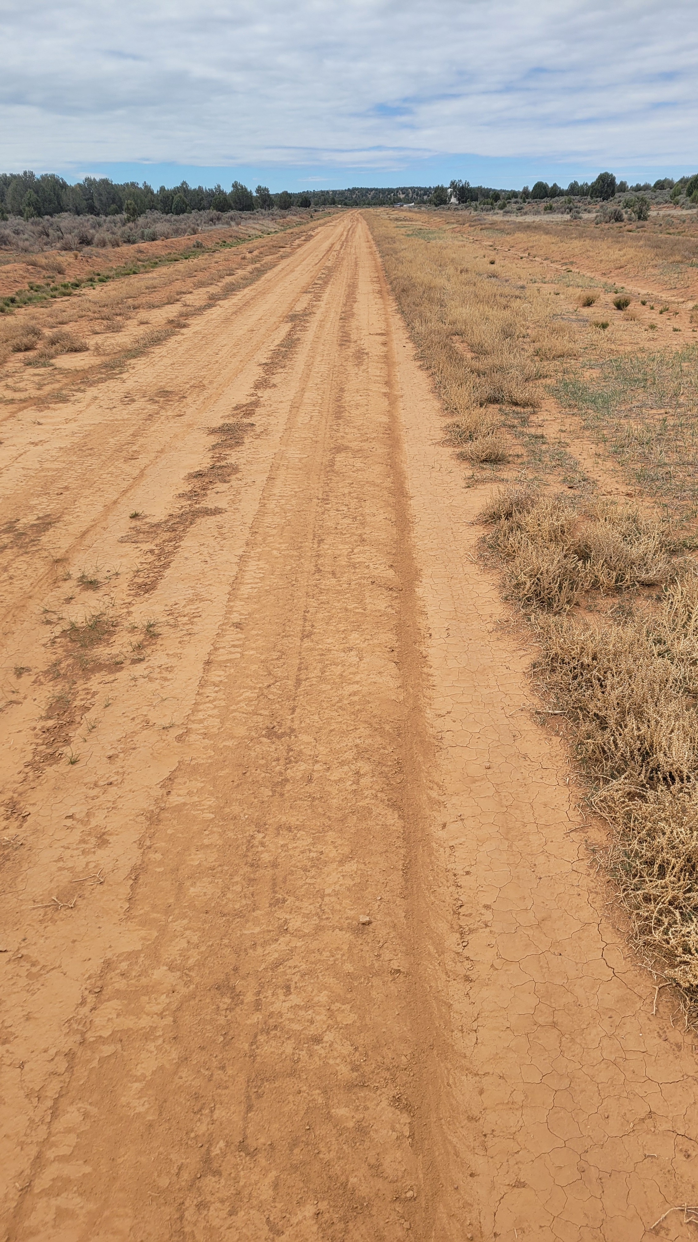
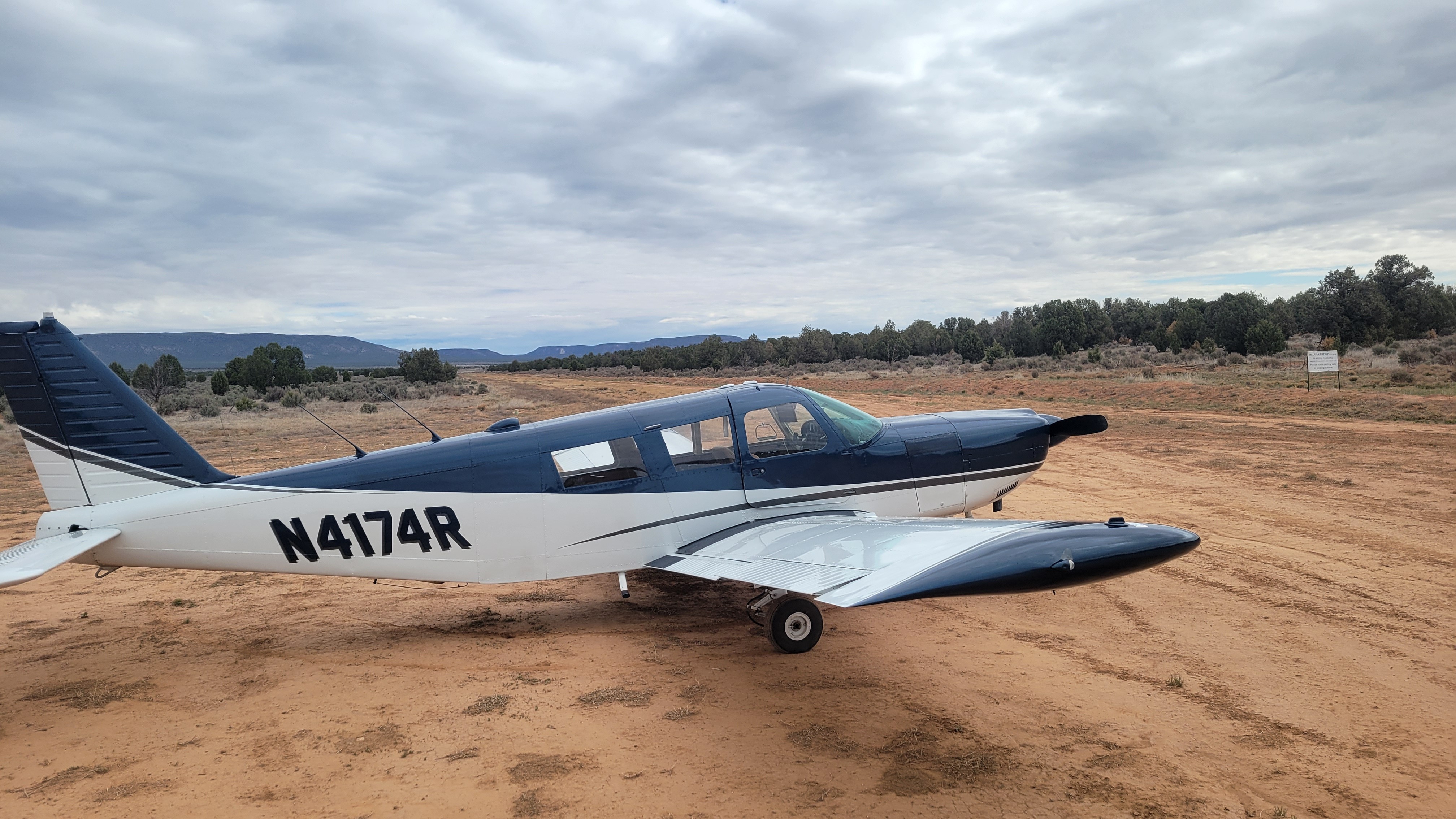
I am new to the association and thought I would try the IMLAY strip since I am based in Hurricane. Was pleasantly surprised by the condition of the strip. It seems to be integrated into a road, but it is not a “two track” type of road where the airstrip is positioned, but rather a flat dirt surface the width of a dirt road. My wheelbase perhaps was off the road by a tire width, but the adjacent ground looks to have been graded in the not too distant past, and has minimal stubble growth off the sides of the dirt strip. Could have landed anywhere within a 20’ or so width, but dirt section is perhaps 8 feet wide or so. I did not see a windsock, but really did not look for one. Signage at each end of the runway remains in good condition. This is a great strip for those in the southwest of Utah, though technically in AZ.
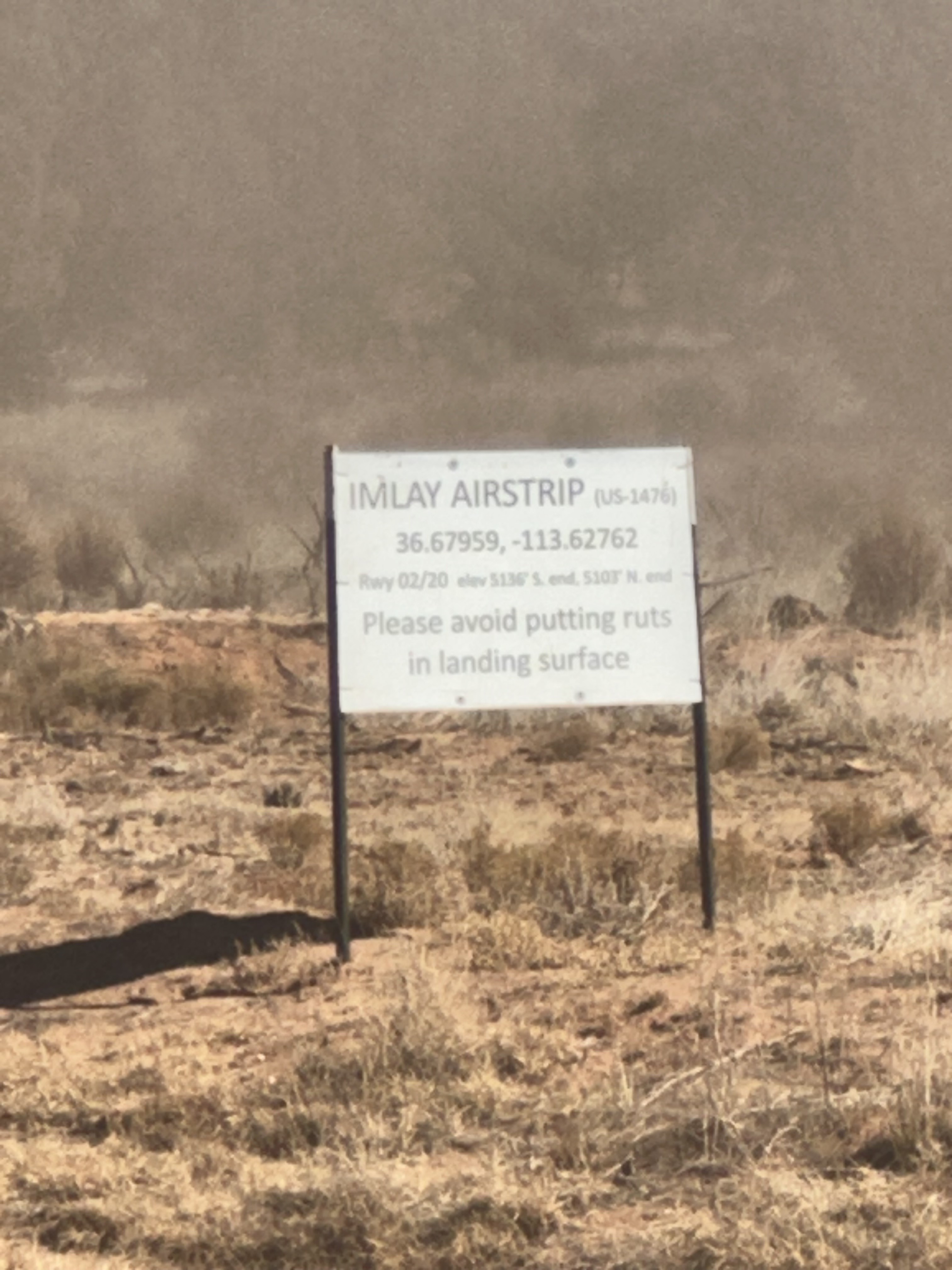

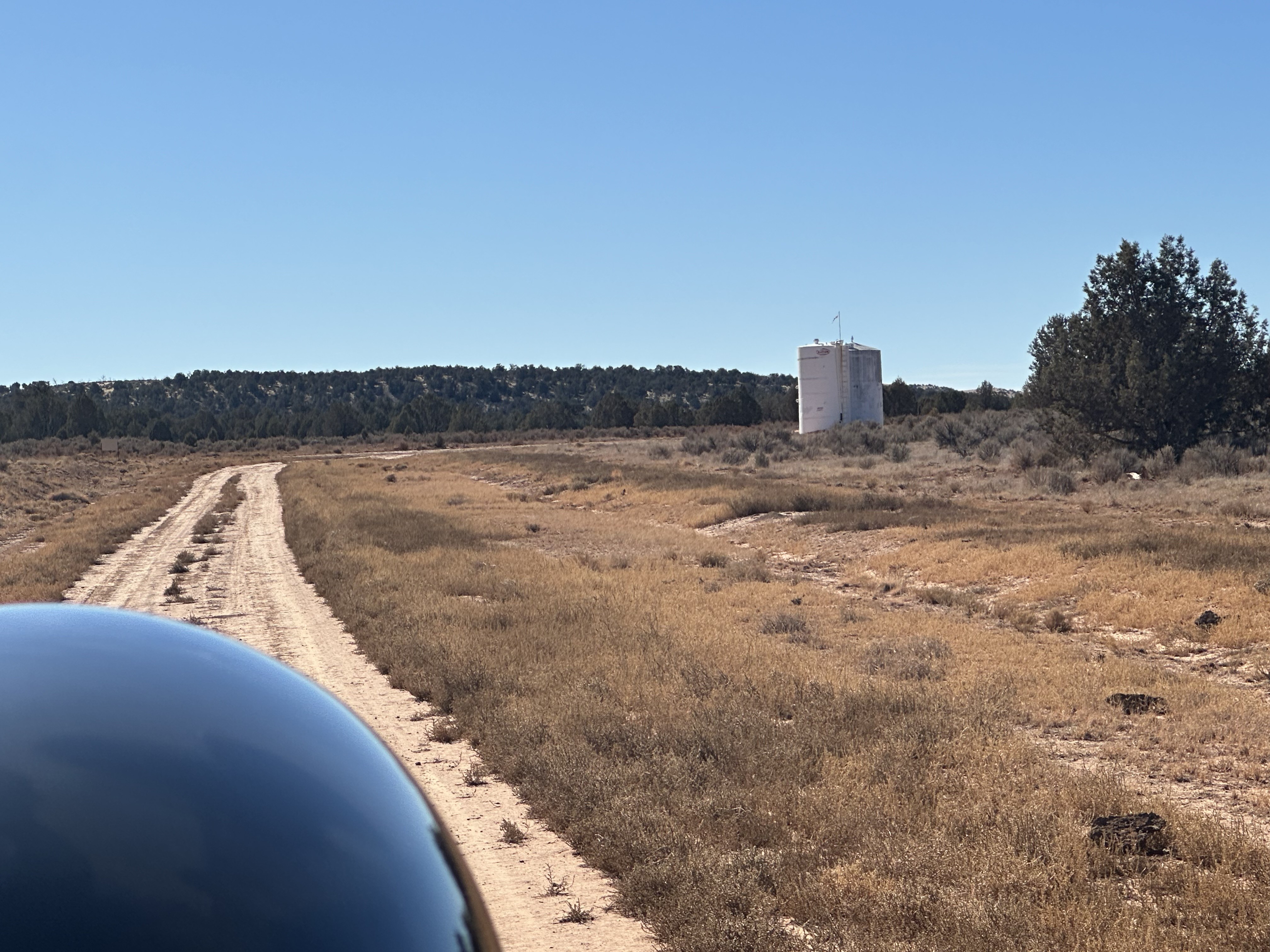
Addendum: There appears to be a tiny or remnant of a windsock on the top of the water tank.
1 year agoContacted the Arizona Strip BLM office regarding strip and was actually able to talk the grader operator into blading the strip as it had been pretty washed out from all the rain (see my report from February). How cool was that!! Drove out there today to post new signs and put up a new windsock. Strip is in really nice condition-bladed out wide and flat-except for being extra dusty. There is a soft spot about a quarter way from the south end of the strip, but should be easy to avoid. Parking area by water tanks is hard and in good shape. Strip is ready for visitors again!
We haven't written a history for this airstrip yet. If you would like to provide us with some information about this strip, please contact us today!