Airstrip Info
| Frequency | 122.90 |
|---|---|
| Elevation | 5244 ft |
| Lat/Long |
38.5675, -110.1005 38° 34.05' , -110° 6.03' |
| Runway 05/23 |
2000 ft
x 18 ft
Soft Dirt / Brush Rwy 5 Uphill 1.3% |
| Ownership | BLM |
Weather
See more at the National Weather Center
Information updated July 14, 2026 @ 11:44am
Note: On June 12, 2026, the BLM issued a decision that Keg Knoll is now recognized as an existing airstrip, and, with no appeal made against the decision, it is now officially open. Thank you RAF!!!
Please be aware that this airstrip lies within a wilderness area and, as Mexican Mountain, the rules that apply to a wilderness area are applicable here as well. The stem road from the airstrip to the main road is wilderness, meaning no mountain bikes, cars, etc are to operate on it.
Regaining access to this airstrip was nothing short of a miracle. As such it will be monitored and scrutinized by those that don't think aircraft should be operating here. As such, be mindful of how you operate in and out of the strip and while you are there. Future improvements (rock fire pits, a wind sock, and runway markings) will be installed in the future.
Aircraft should only be parked in on the pull-out area on the east side of the runway or at the northeast end of the runway. Please do not pull planes off onto vegetation.
Drones and other mechanized items are prohibited.
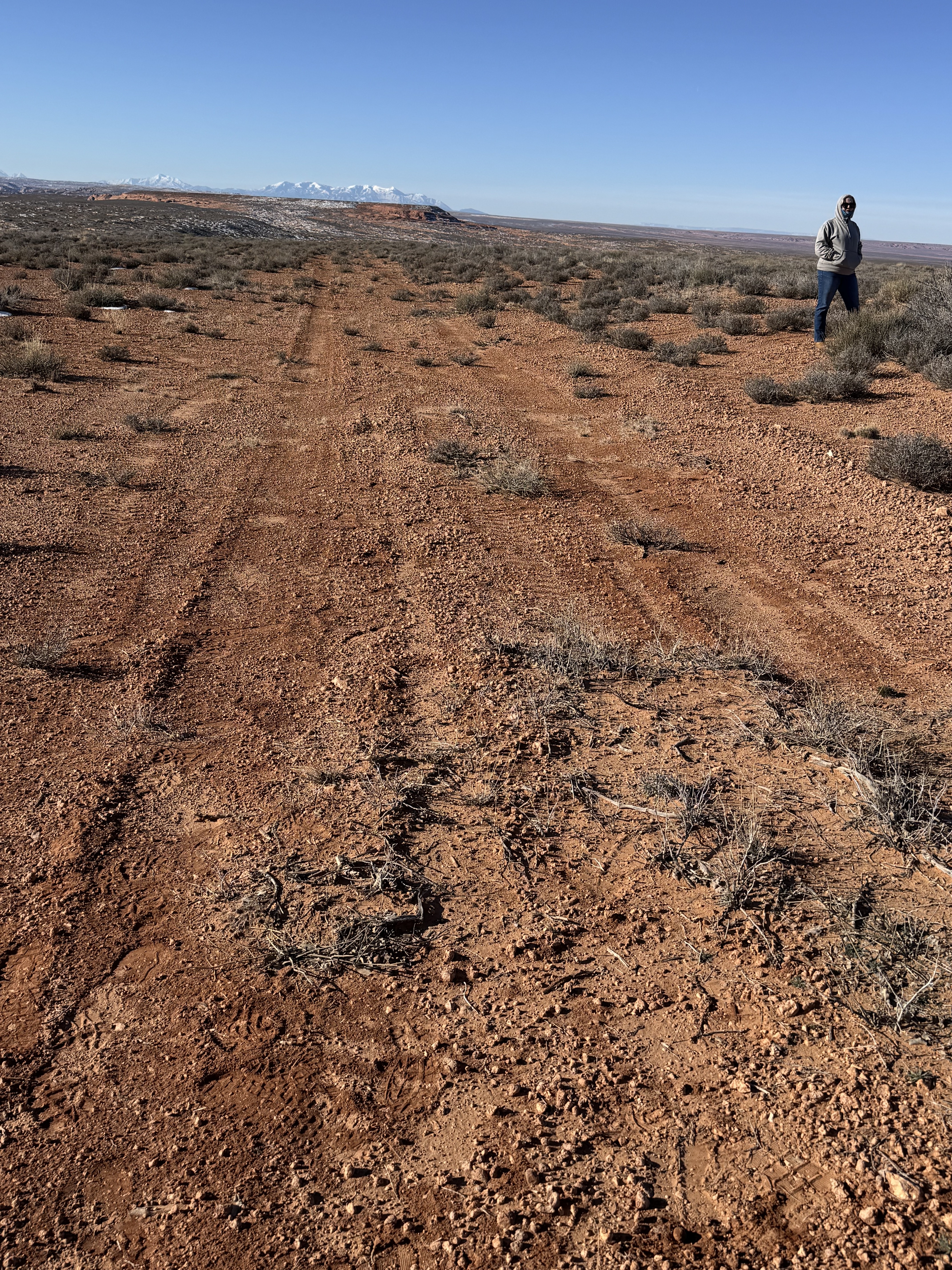
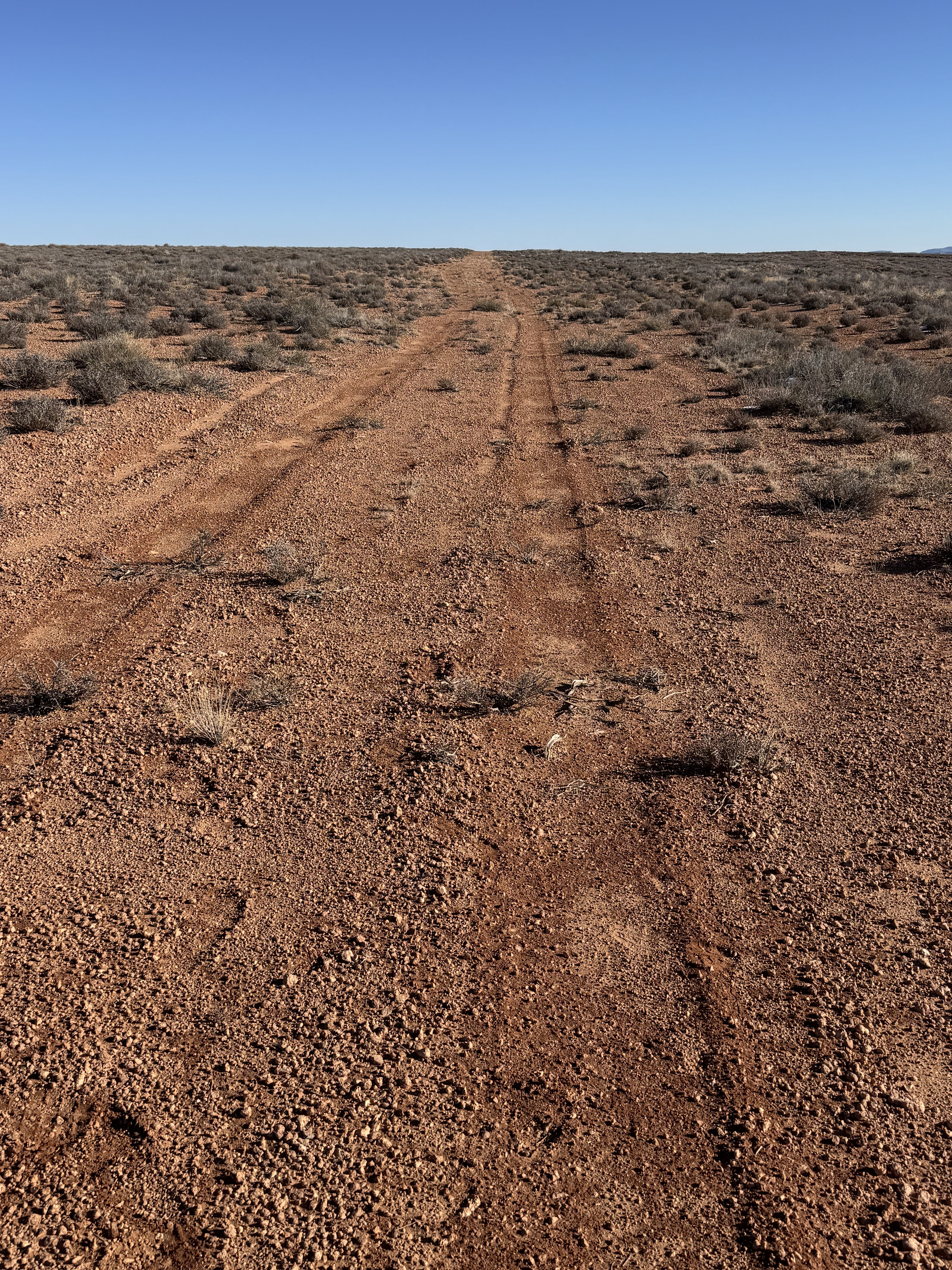
Description: Keg Knoll's airstrip is covered with scattered brush. Access point for Colonnade Arch (Five Hole Arch) trail. This airstrip lies within the Labyrinth Canyon Wilderness Area. All wilderness rules apply. The stem road from the east end of the strip is still wilderness area. If you bring a mountain bike to ride, you MUST carry it from the strip to the main road. No traffic (cars, ATVs, bikes, etc) are allowed in it.
Runway: Roughly 2,000 ft long x 18 ft wide dirt runway in good condition. Slopes uphill slightly to the east. Last 1,000 feet or so on the east end more clear than the west end. Definitely a soft runway that is covered with brush.
Approach Considerations: Typically land uphill to the east and depart downhill to the west.
Amenities: None. Slight parking area south of landing surface on the east end.
Windsock: No.
Airstrip inspection with BLM to determine possible alternatives to reopening an airstrip at Keg Knoll. Request that pilots not land on the airstrip, since it is in a wilderness area. Be patient and respect the process.
Thank you for the work! This is such a cool spot- I hope you are successful in getting it re-opened!
5 months ago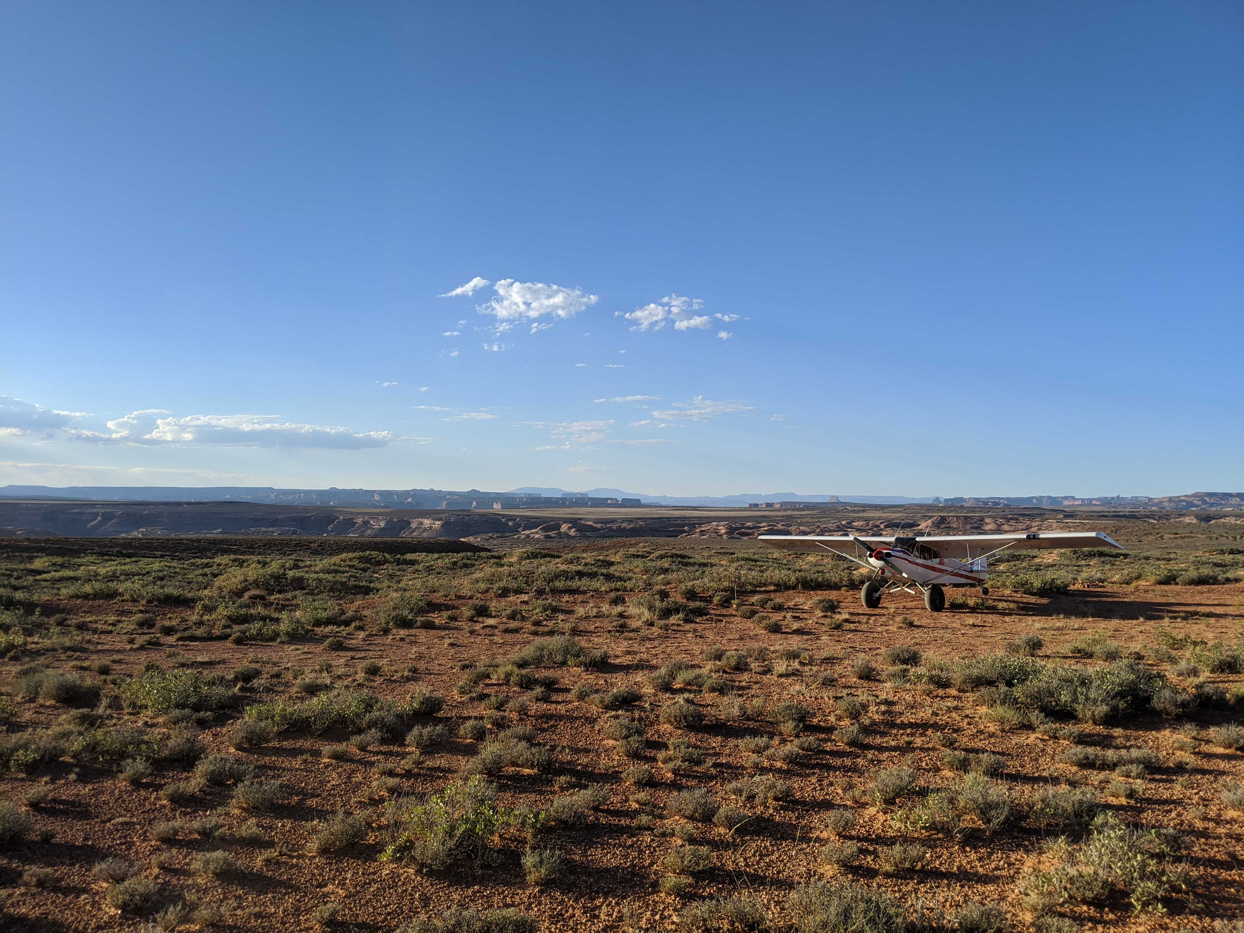
We over flew this strip as part of the survey flight we did with one of the rec planners from the Price District. The strip has seen recent use and looks to be in decent shape (reference the other recent reports). This airstrip is going to be affected by the Dingle Act and, according to the rec planner, will be one that is in danger of being lost as it will fall in the new wilderness area. So PLEASE, if you visit, make sure to file a report so that we can use the data to show that it is being used. That data will be invaluable when it comes time to argue for including it in the wilderness plan. In addition to the arch, there is also a hike to the Green River, the cowboy cave (Tibbits cave) and with a 5 mile bike ride, you can reach the trailhead to the Great Gallery.
3 mile moderate hike to a stunning arch high above the Green River and Two Mile Canyon. The arch is unique with its five openings. https://www.roadtripryan.com/go/t/utah/robbers-roost/colonnade-arch
Keg Knoll's history is something we're still working on, but for the time being, it's neat to see that the landing strip we call Keg Knoll was identifed on the 1963 Bowknot Bend USGS Topo Chart.