Airstrip Info
| Frequency | 122.90 |
|---|---|
| Elevation | 5244 ft |
| Lat/Long |
38.5675, -110.1005 38° 34.05' , -110° 6.03' |
| Runway 05/23 |
2000 ft
x 18 ft
Soft Dirt / Brush Rwy 5 Uphill 1.3% |
| Ownership | BLM |
Weather
See more at the National Weather Center
Information updated June 16, 2026 @ 12:24pm
Note: On June 12, 2026, the BLM issued a decision that Keg Knoll is now recognized as an existing airstrip, however, it will remain in a closed status until the 30 day appeal period lapses. Barring any litigation we hope that it will be open on or around July 13, 2026. Check back here for the latest updates.
Please be aware that this airstrip lies within a wilderness area and, as Mexican Mountain, the rules that apply to a wilderness area are applicable here as well. The stem road from the airstrip to the main road is wilderness, meaning no mountain bikes, cars, etc are to operate on it.
Regaining access to this airstrip was nothing short of a miracle. As such it will be monitored and scrutinized by those that don't think aircraft should be operating here. As such, be mindful of how you operate in and out of the strip and while you are there. Future improvements (rock fire pits, a wind sock, and runway markings) will be installed in the future.
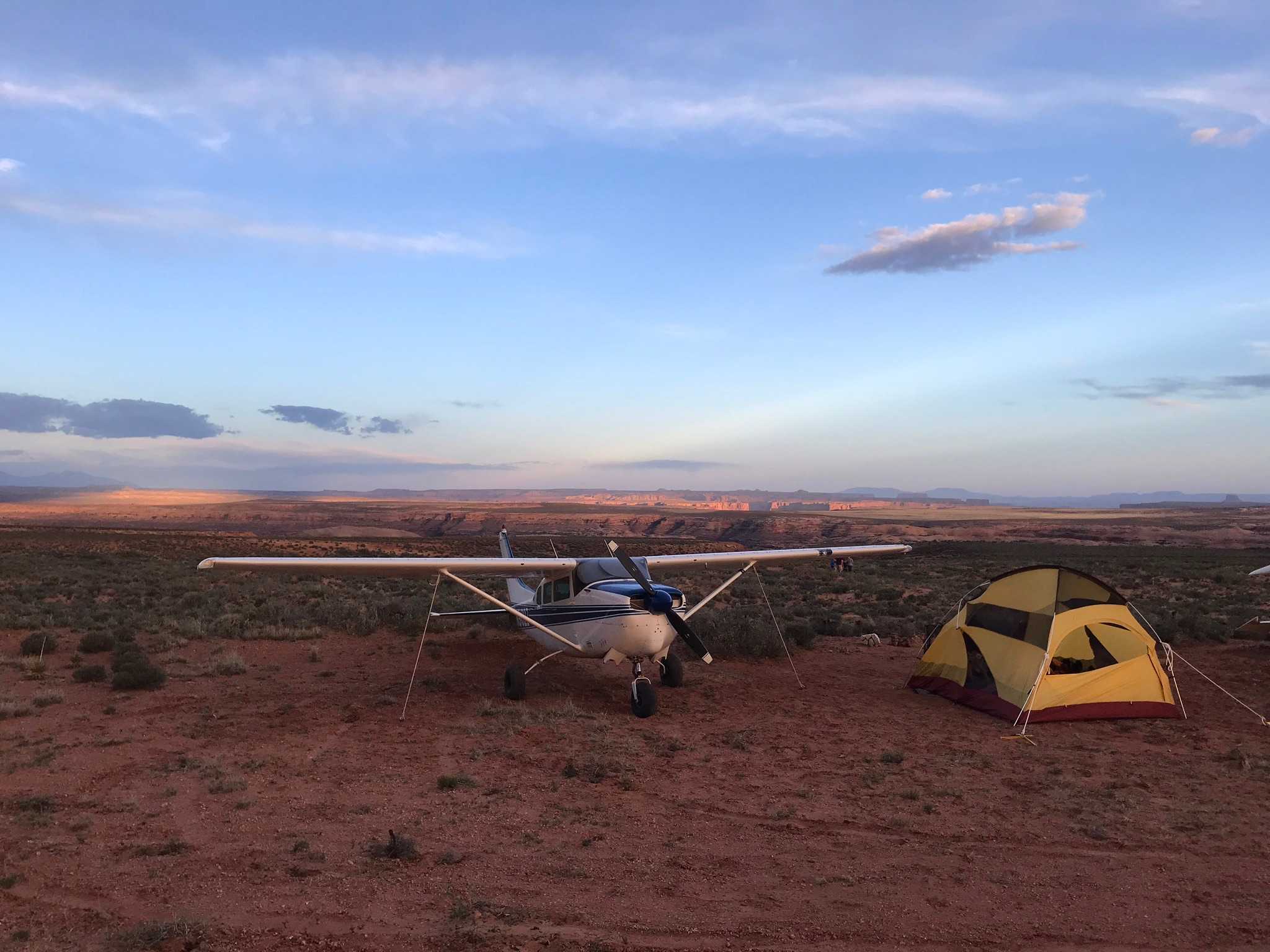
Aircraft should only be parked in on the pull-out area on the east side of the runway or at the northeast end of the runway. Please do not pull planes off onto vegetation.
Drones and other mechanized items are prohibited.
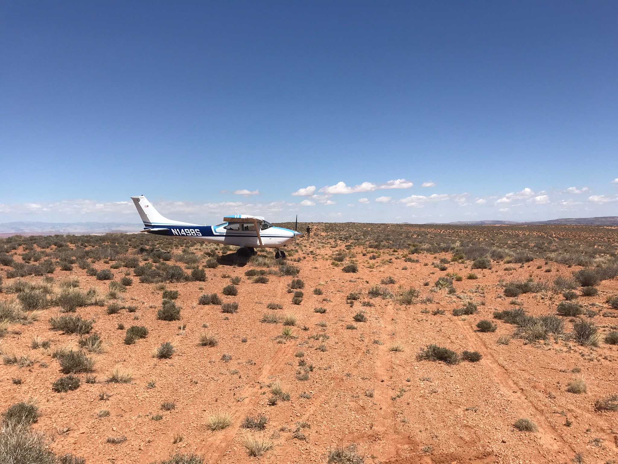
Description: Keg Knoll's airstrip is covered with scattered brush. Access point for Colonnade Arch (Five Hole Arch) trail. This airstrip lies within the Labyrinth Canyon Wilderness Area. All wilderness rules apply. The stem road from the east end of the strip is still wilderness area. If you bring a mountain bike to ride, you MUST carry it from the strip to the main road. No traffic (cars, ATVs, bikes, etc) are allowed in it.
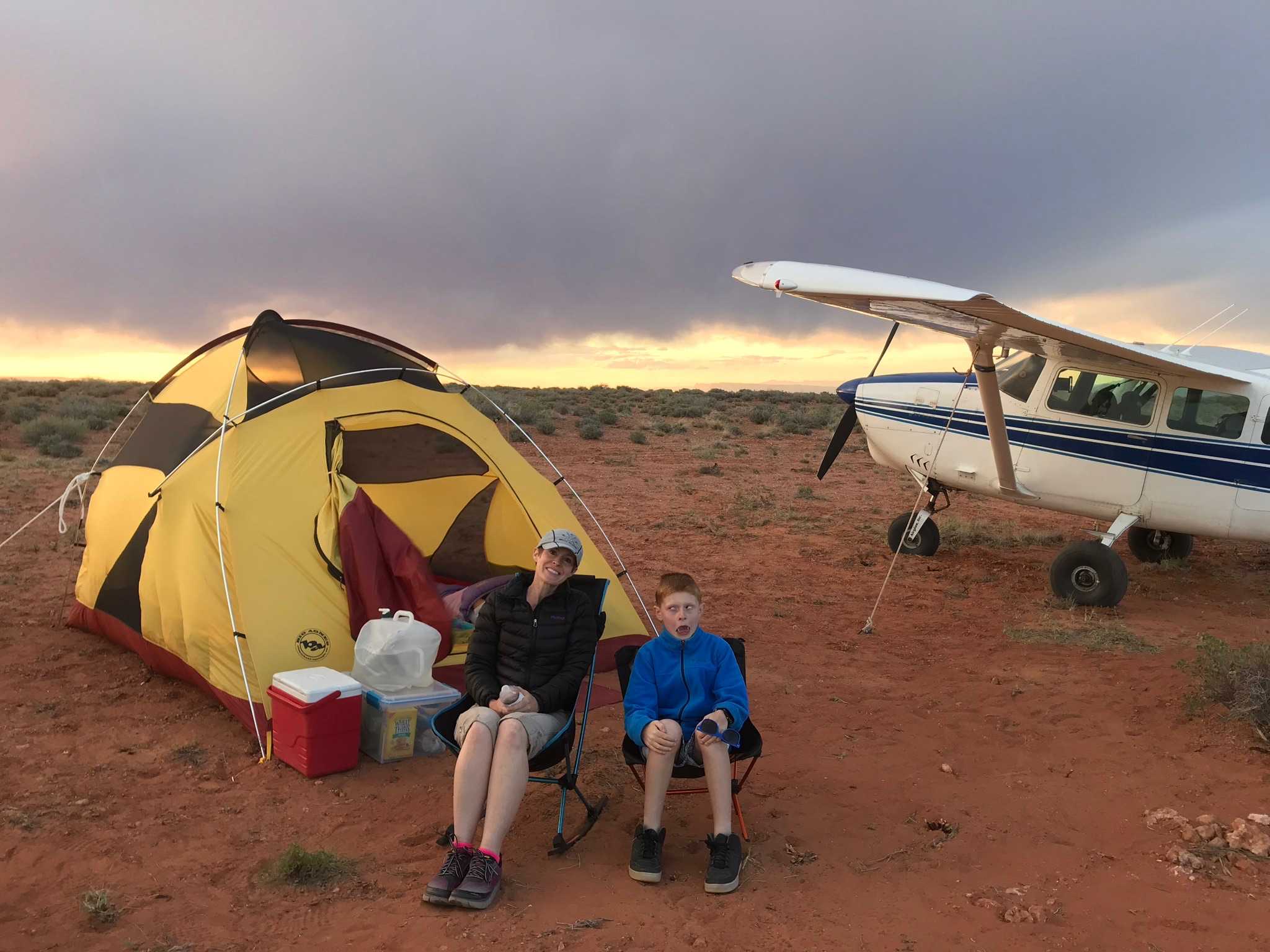
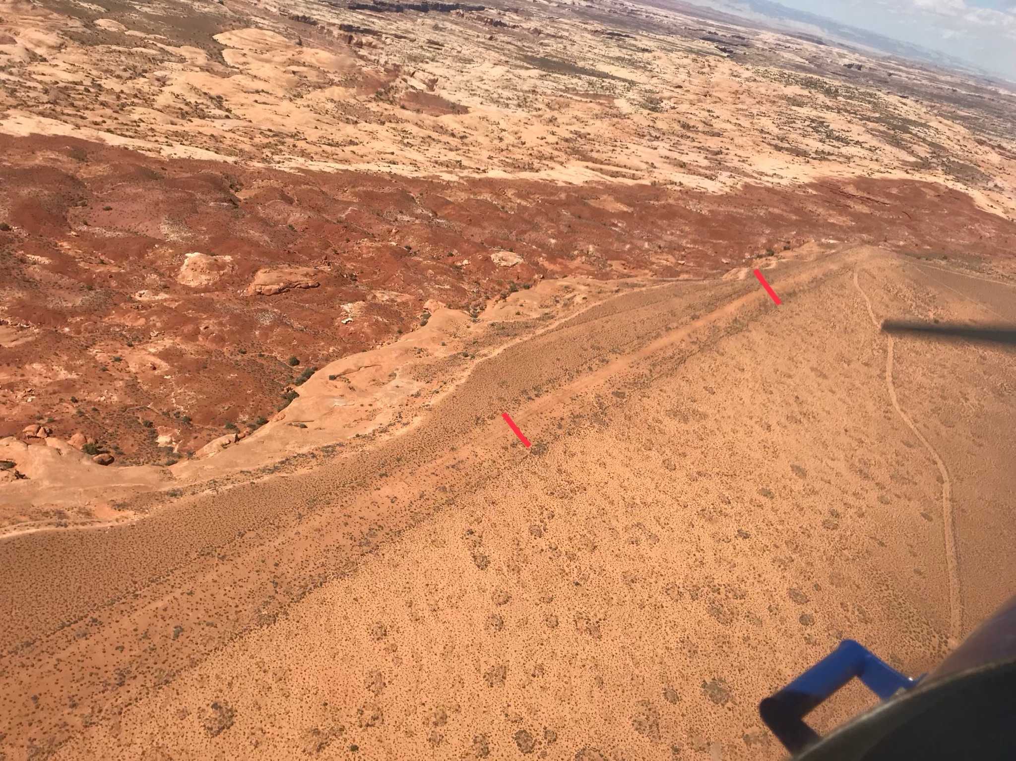
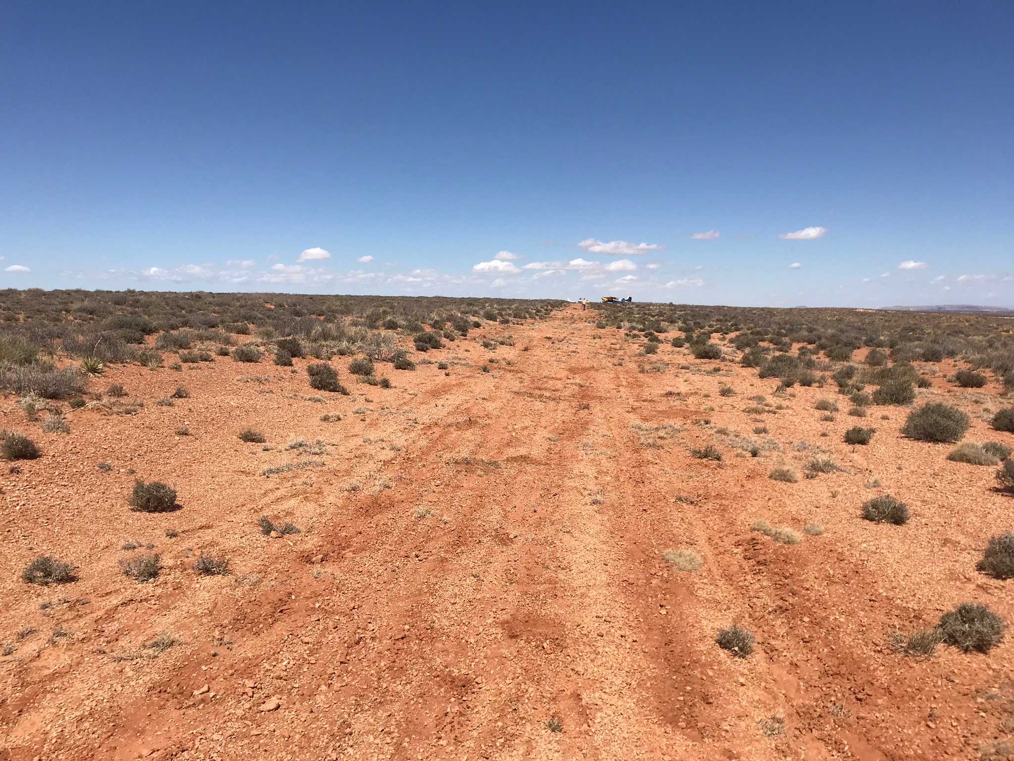
Runway: Roughly 2,000 ft long x 18 ft wide dirt runway in good condition. Slopes uphill slightly to the east. Last 1,000 feet or so on the east end more clear than the west end. Definitely a soft runway that is covered with brush.
Approach Considerations: Typically land uphill to the east and depart downhill to the west.
Amenities: None. Slight parking area south of landing surface on the east end.
Windsock: No.
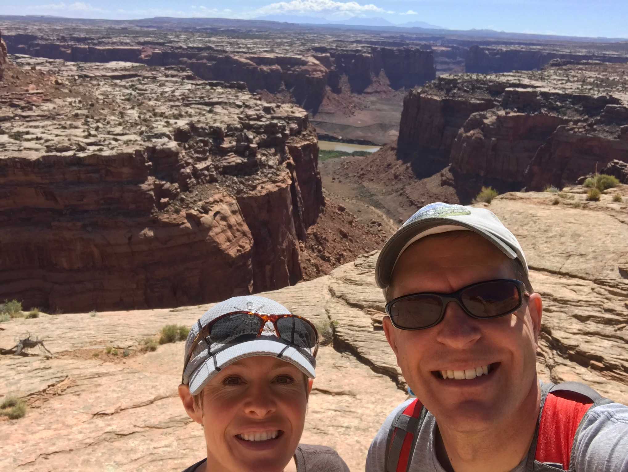
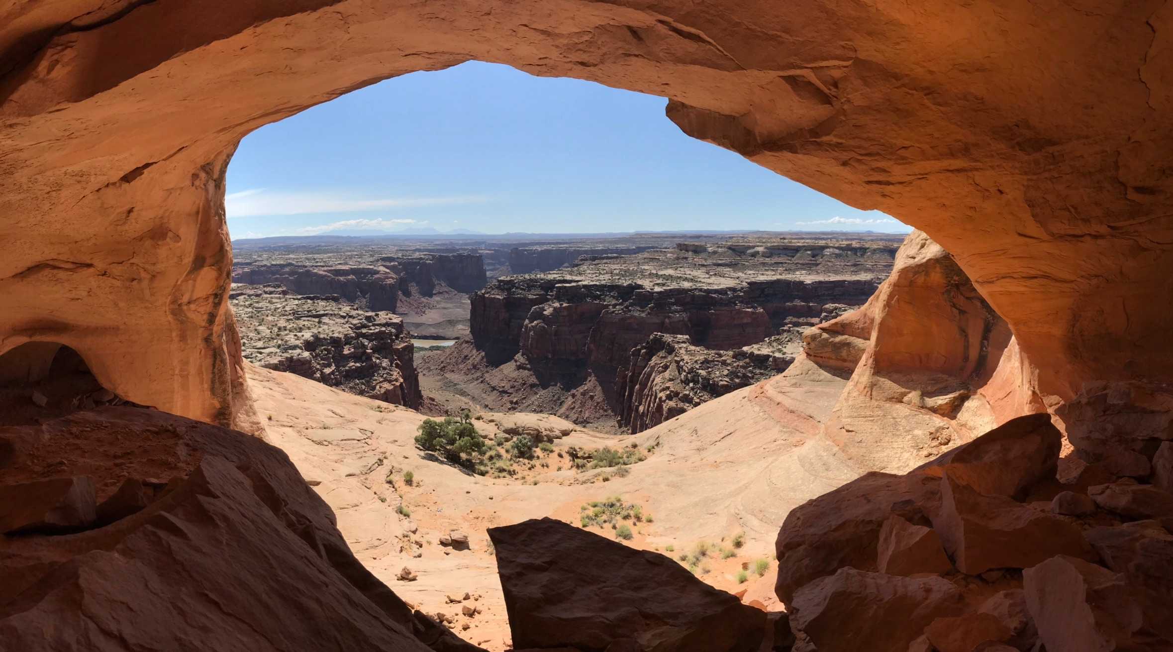
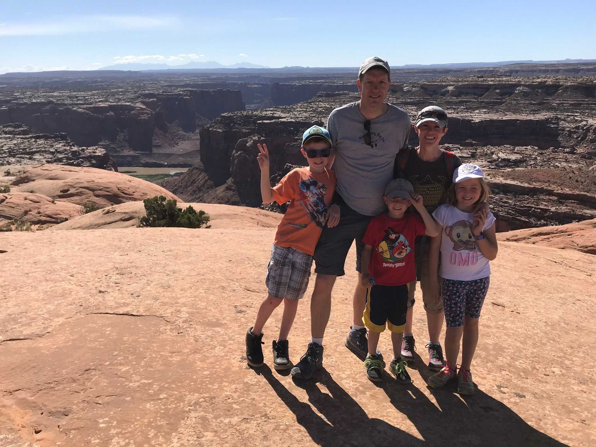
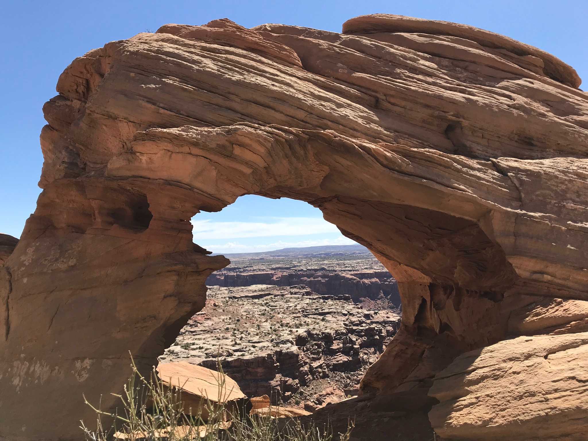
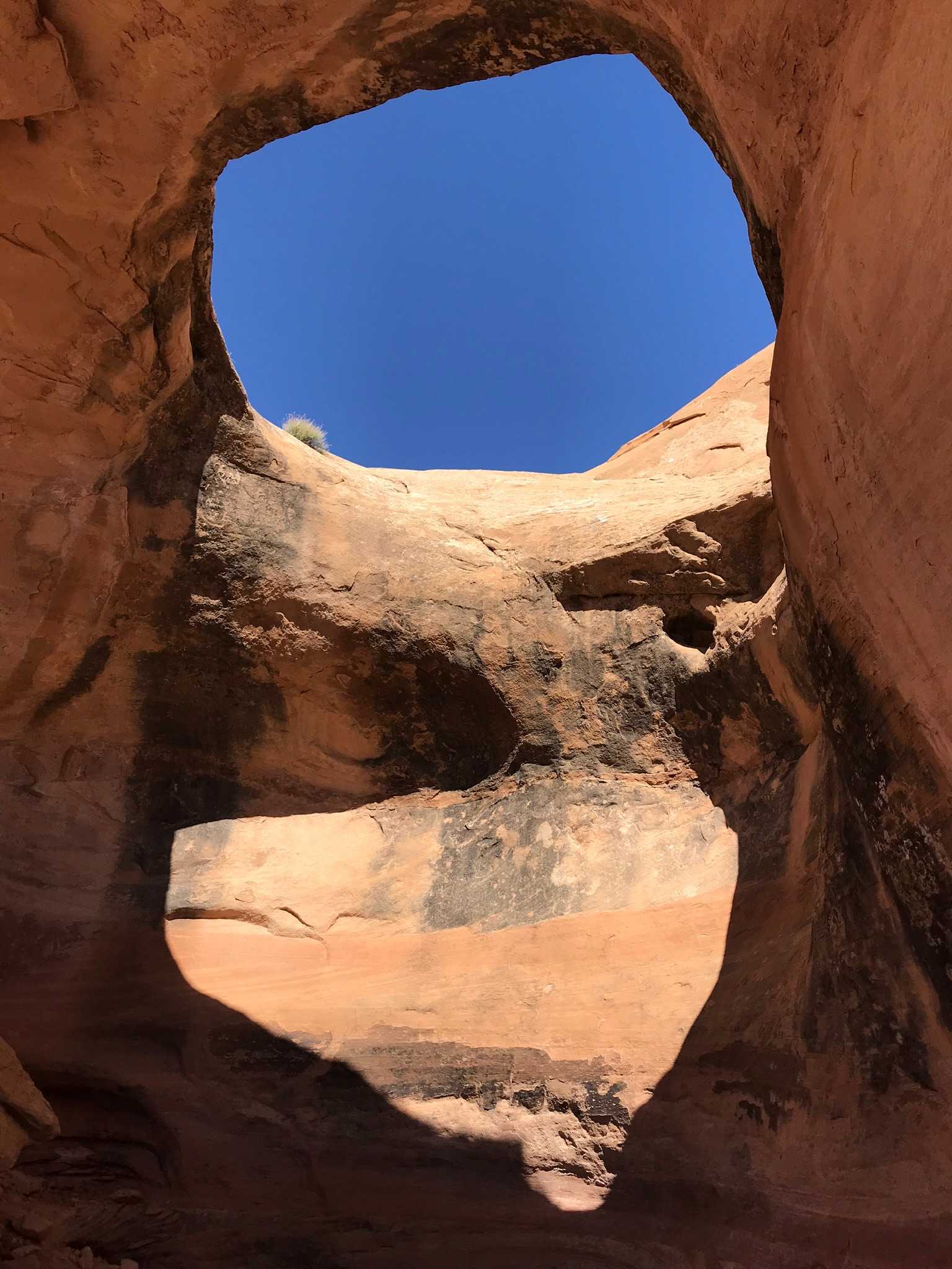
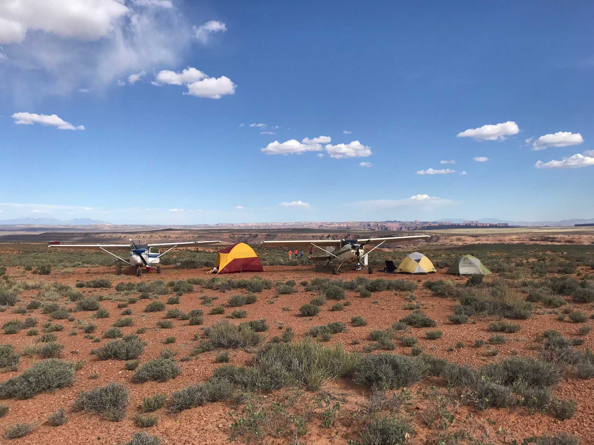
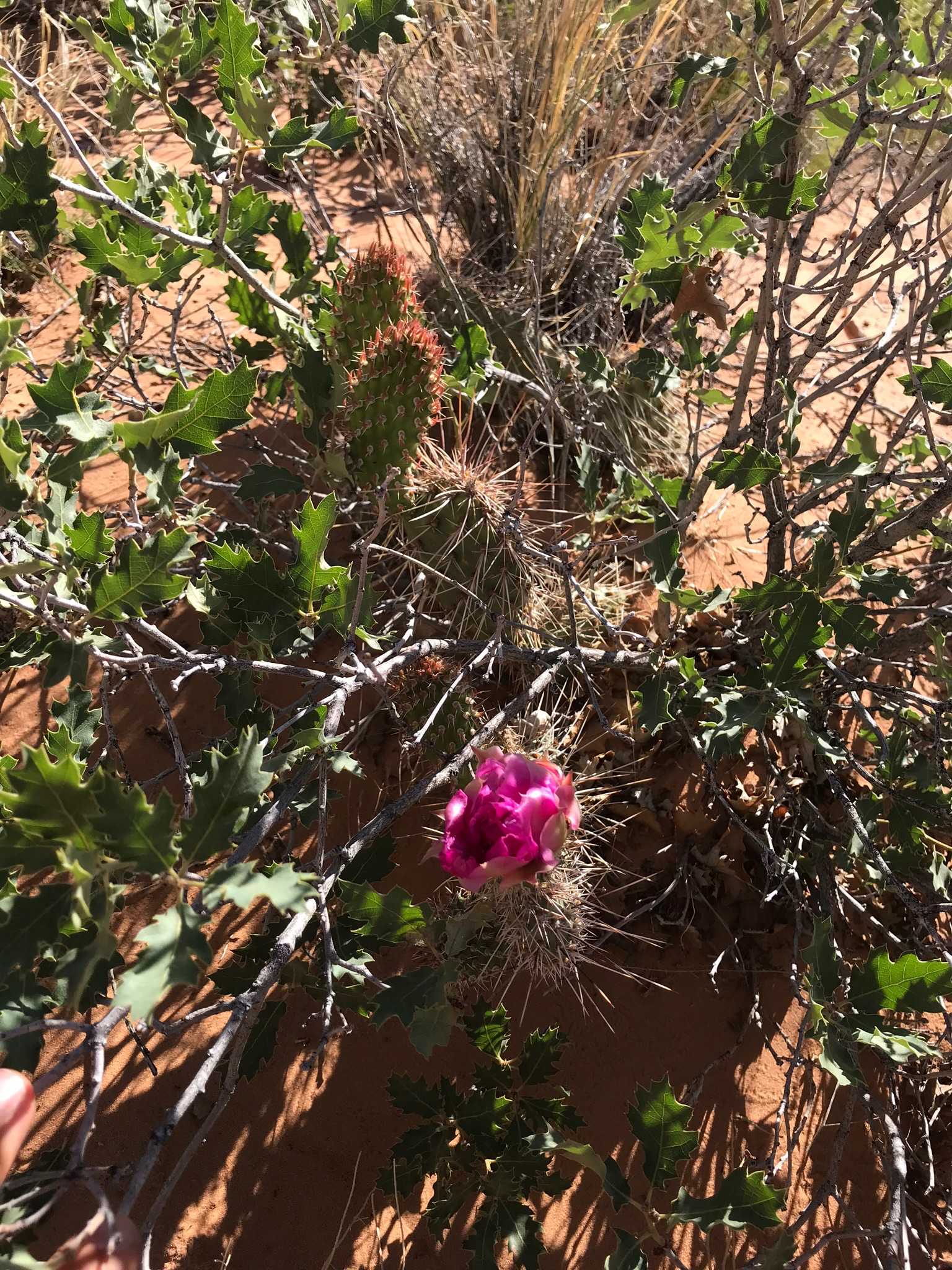
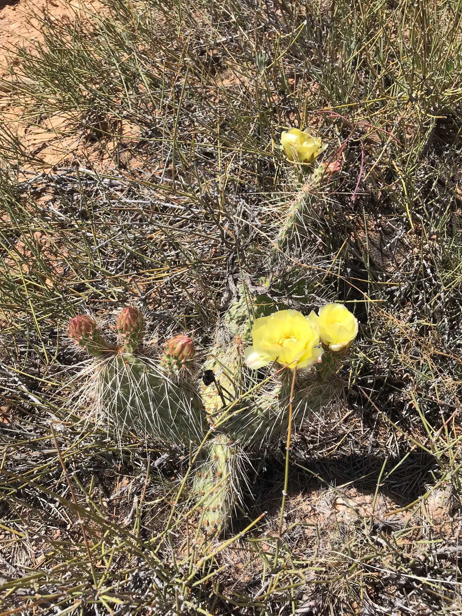
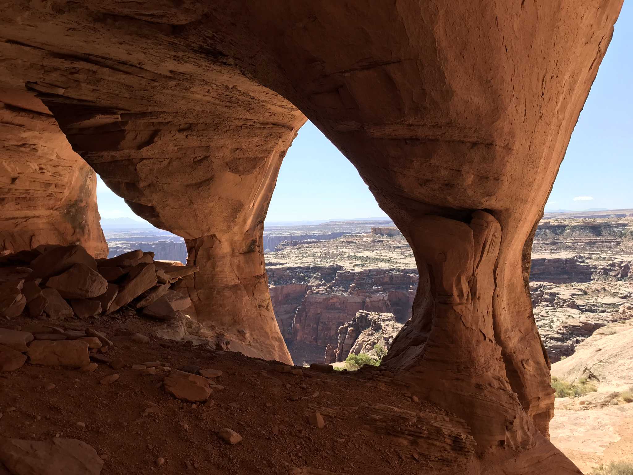
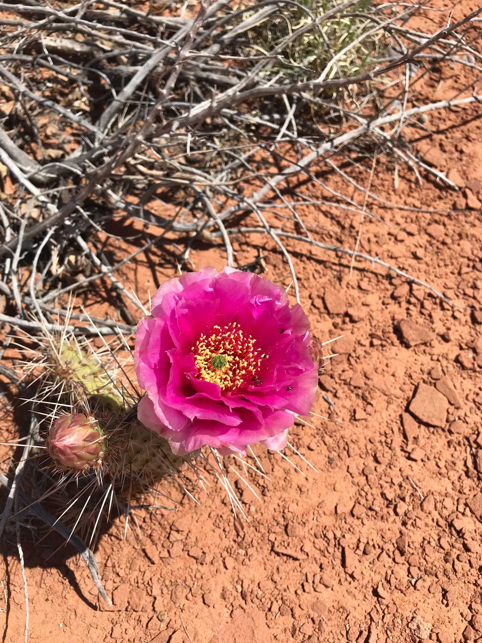
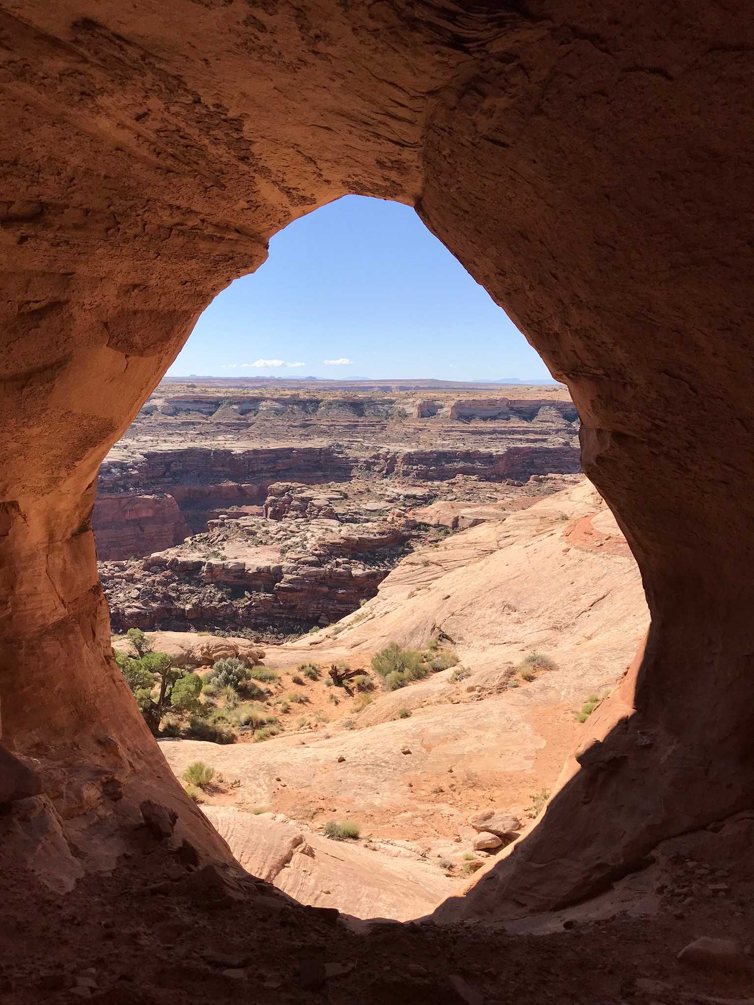
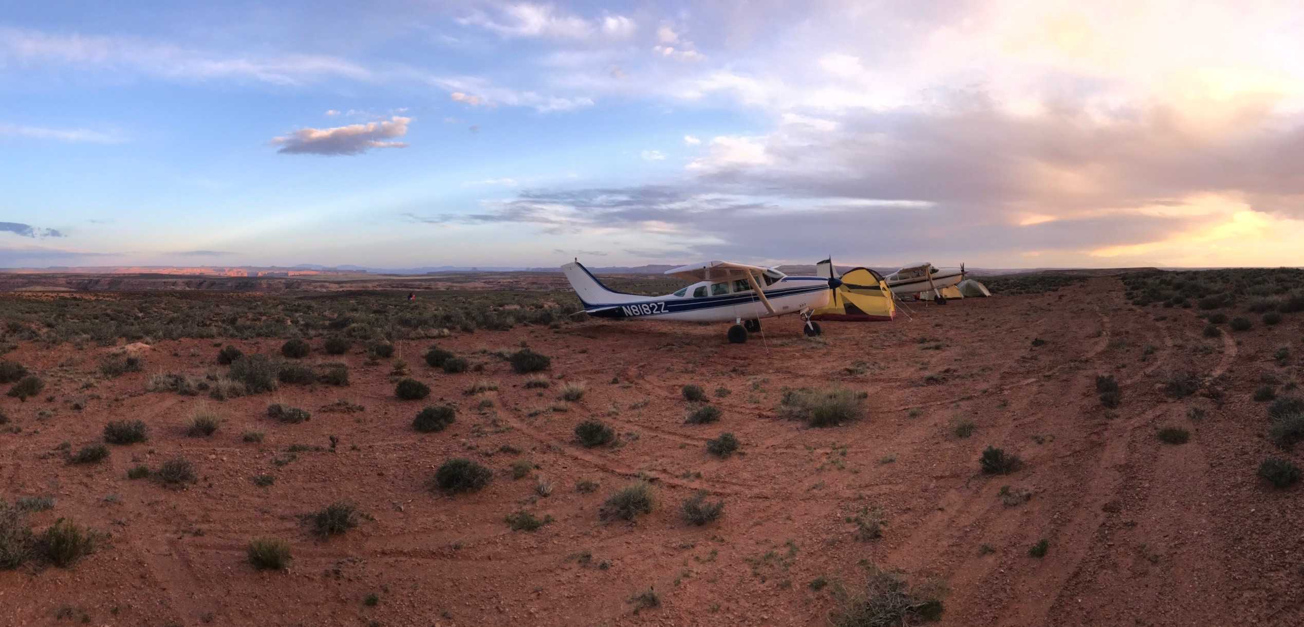
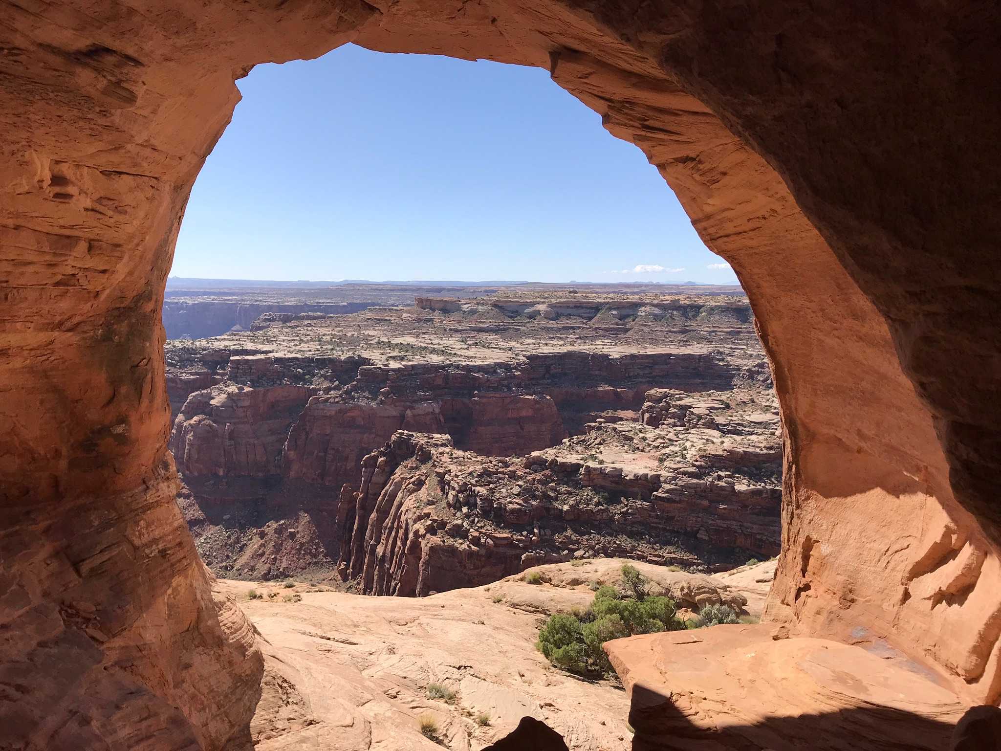
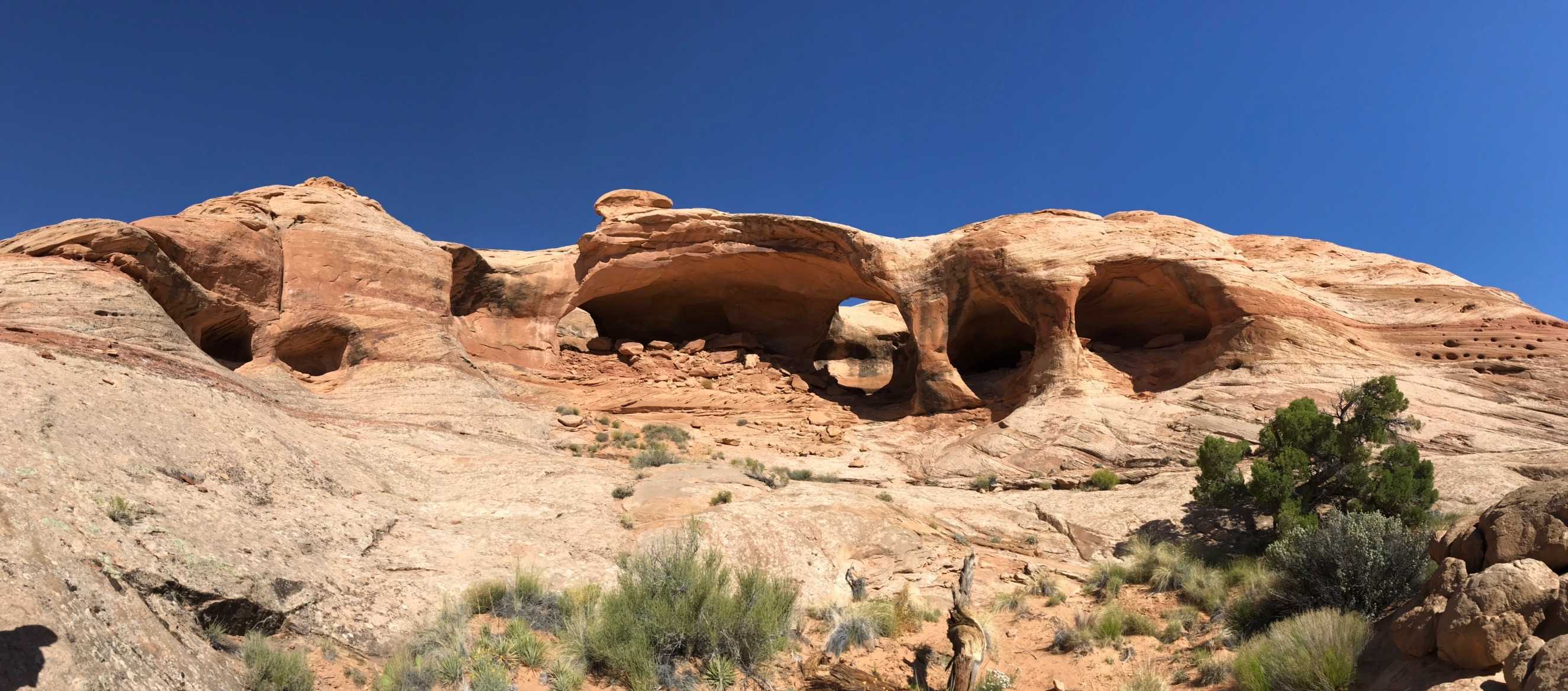
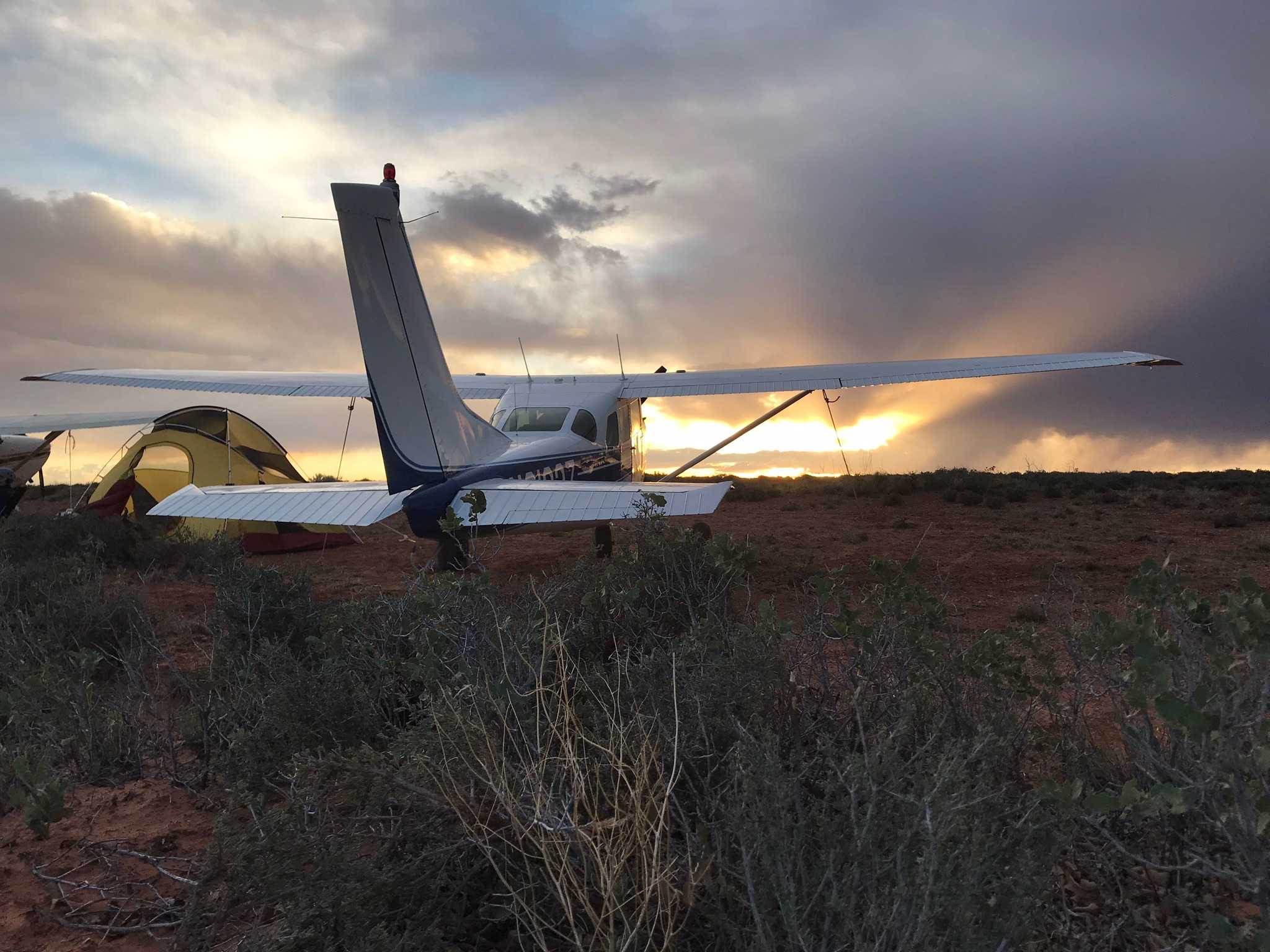
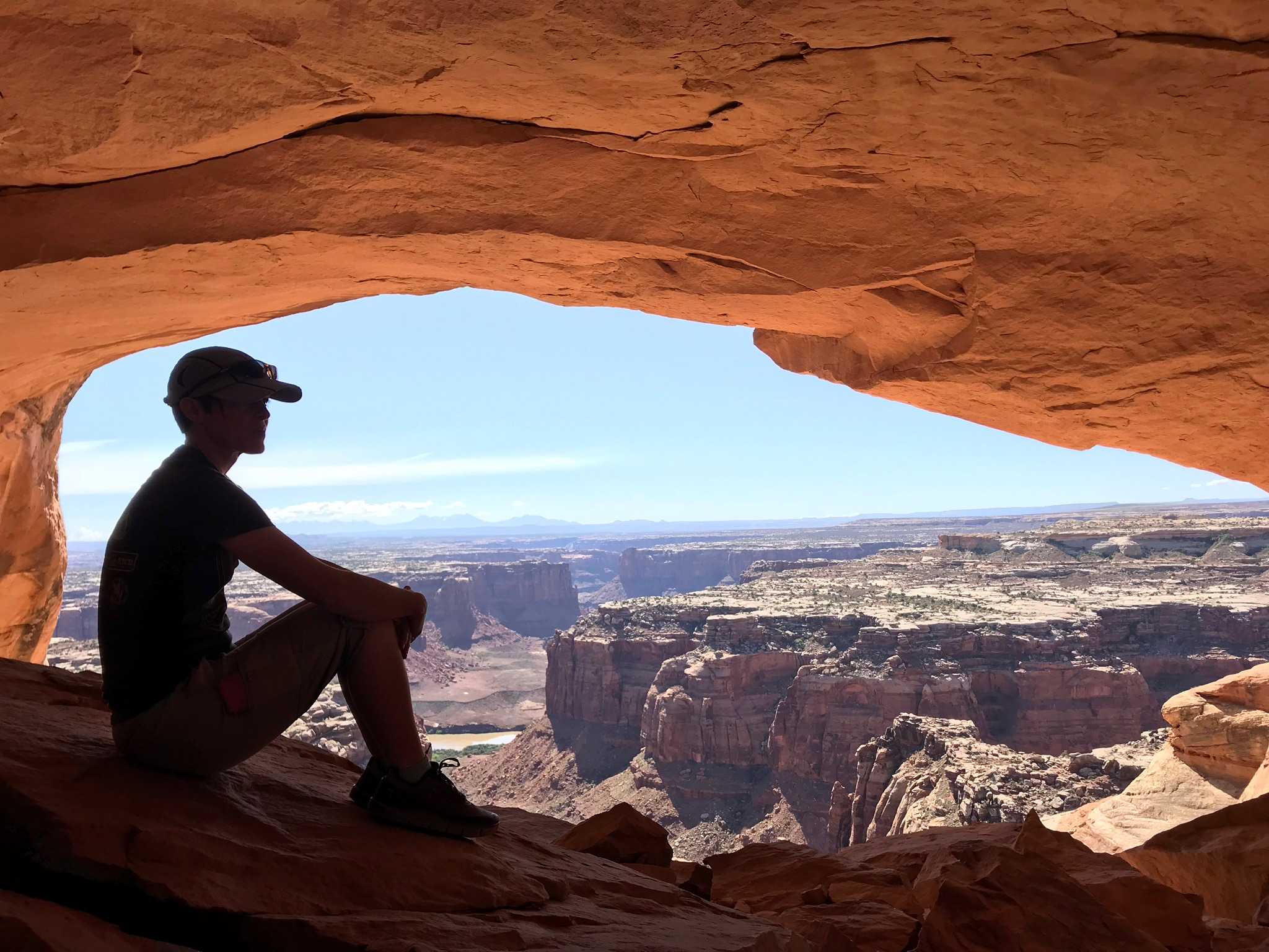
As part of our work party at Mexican Mountain, a group of us came over and cleared about 1000-1200’ of the runway. It is a little soft and there are a few bushes that need to be cleared in future work parties. A parking area was cleared too. Overall it’s much improved and useable. 2 miles off the east end of the strip are the Colonnade Arches, which are spectacular! Also a relatively easy hike too.

Keg Knoll's history is something we're still working on, but for the time being, it's neat to see that the landing strip we call Keg Knoll was identifed on the 1963 Bowknot Bend USGS Topo Chart.