Airstrip Info
| Frequency | Unknown |
|---|---|
| Elevation | Unknown |
| Lat/Long |
37.7817, -110.1588 37° 46.902' , -110° 9.528' |
| Runway |
|
| Ownership | BLM |
Weather
See more at the National Weather Center
Information updated July 9, 2025 @ 5:35pm
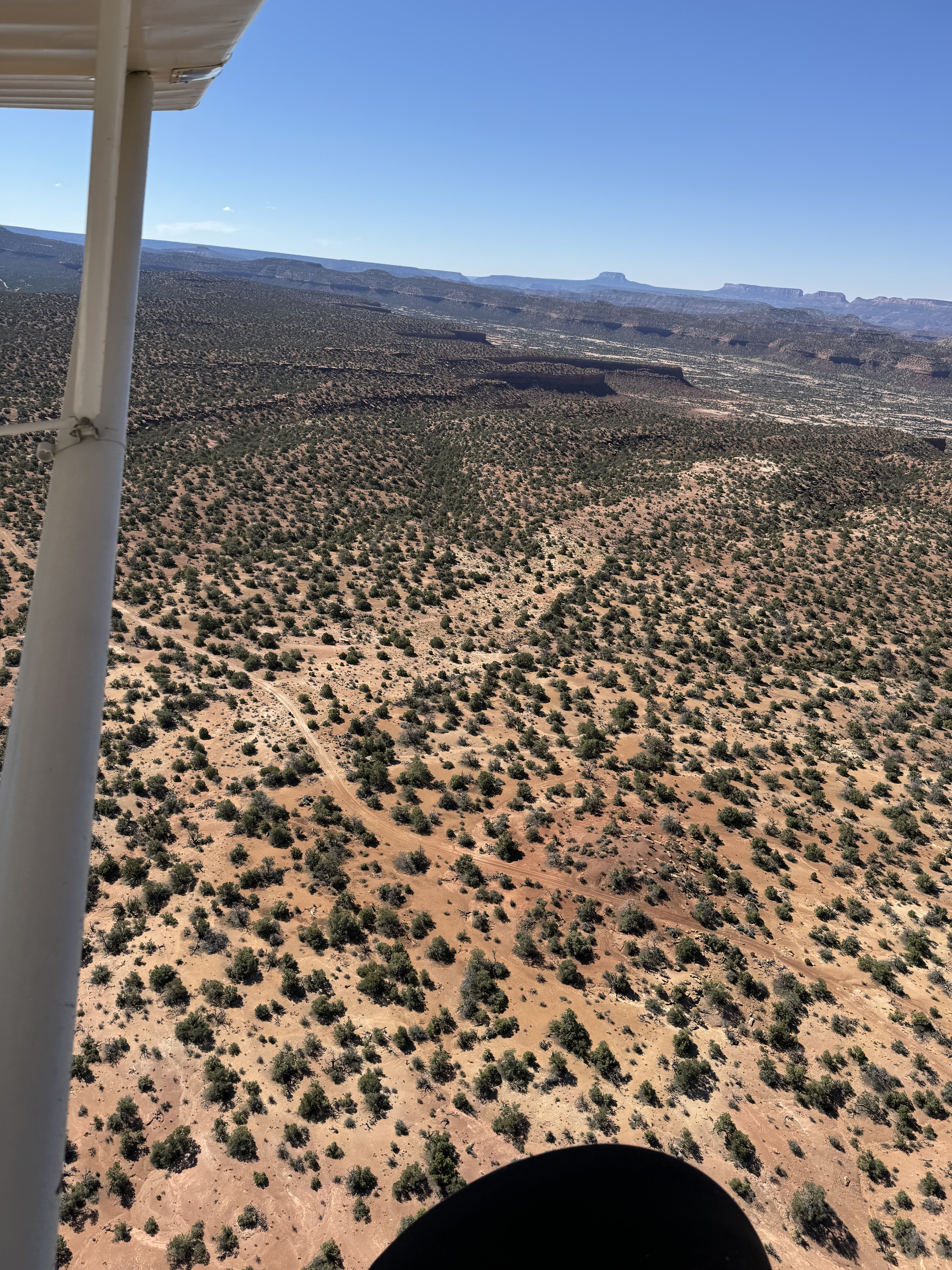
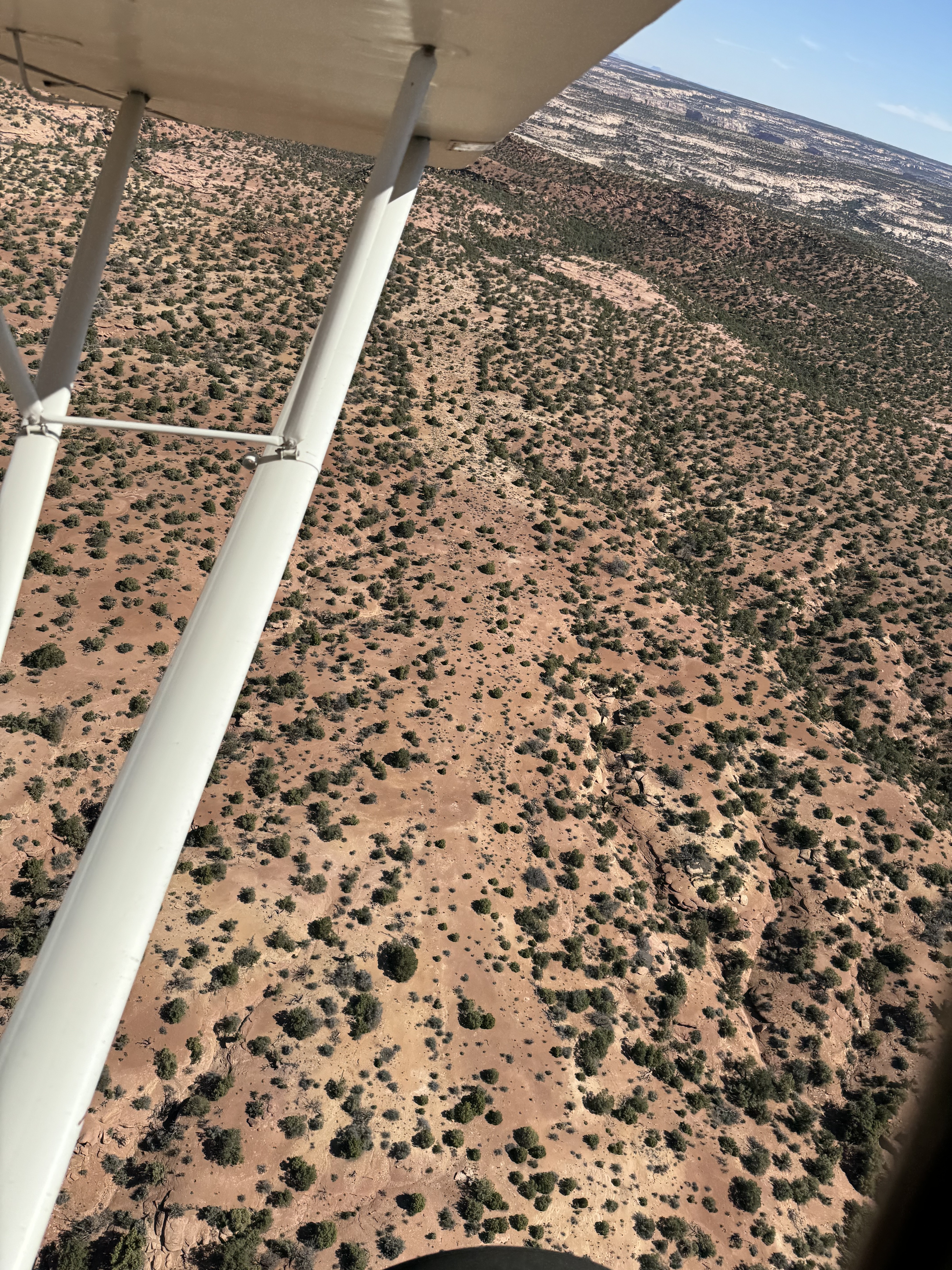
Long Canyon Airstrip is TEMPORARILY CLOSED. The airstrip is within the Bears Ears National Monument and the airstrip use is not allowed until the BLM has completed a NEPA evaluation of the airstrip.
The airstrip has people-sized small trees. Runoff erosion cuts across the airstrip in a couple of places. This airstrip would need chainsaws and heavy equipment to refurbish. The airstrip has been neglected for so long that I believe that the BLM would say this one has been reclaimed by nature. Unsafe for landing.
Long Canyon's airstrip has been identified on USGS maps since 1980. You can view this historic map below or download it by clicking here.