Airstrip Info
| Frequency | 122.90 |
|---|---|
| Elevation | 6680 ft |
| Lat/Long |
39.6304, -109.2693 39° 37.824' , -109° 16.158' |
| Runway 2/20 |
4250 ft
x 25 ft
Dirt |
| Ownership | BLM |
Weather
See more at the National Weather Center
Information updated January 29, 2023 @ 1:48am
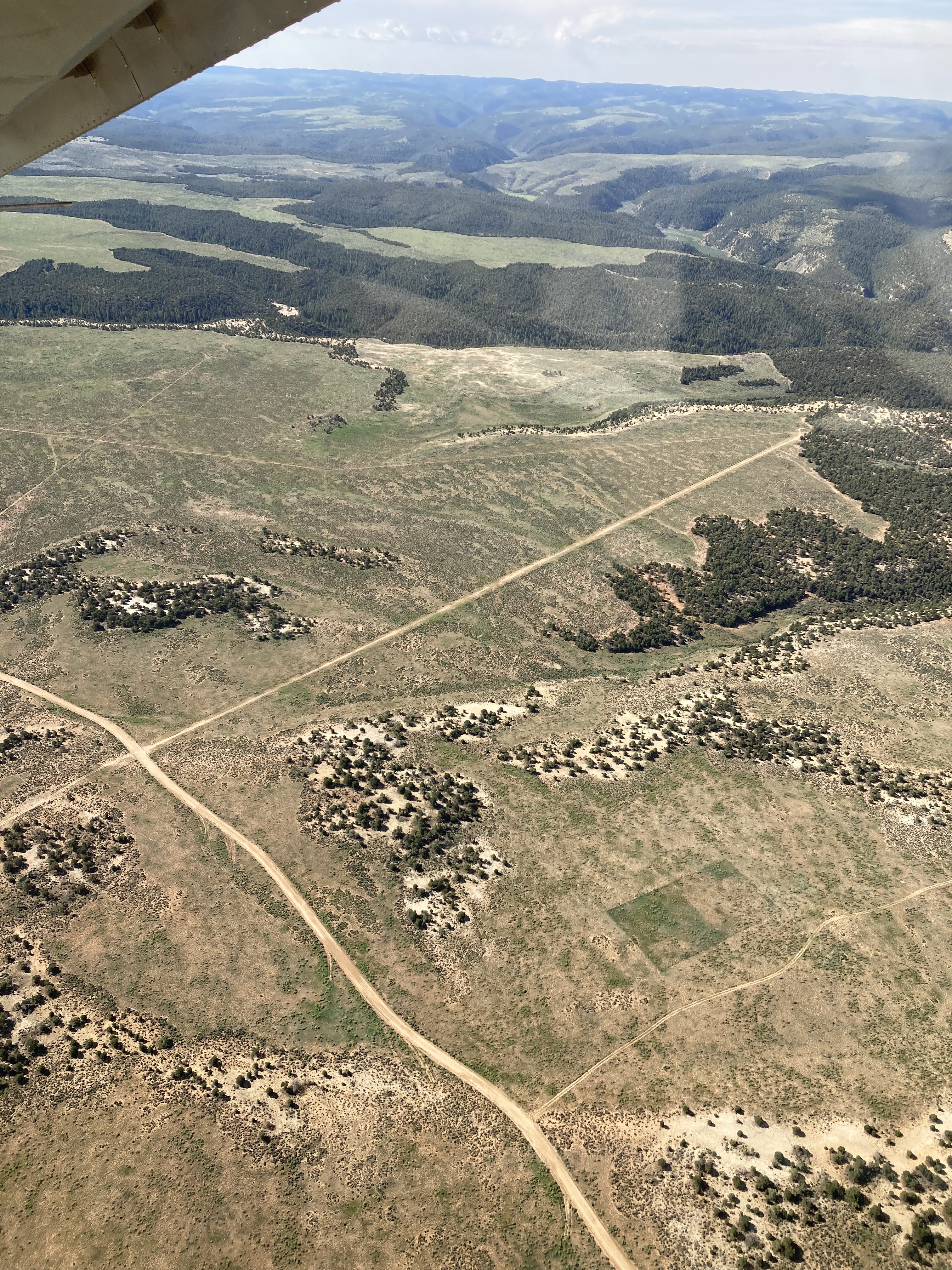
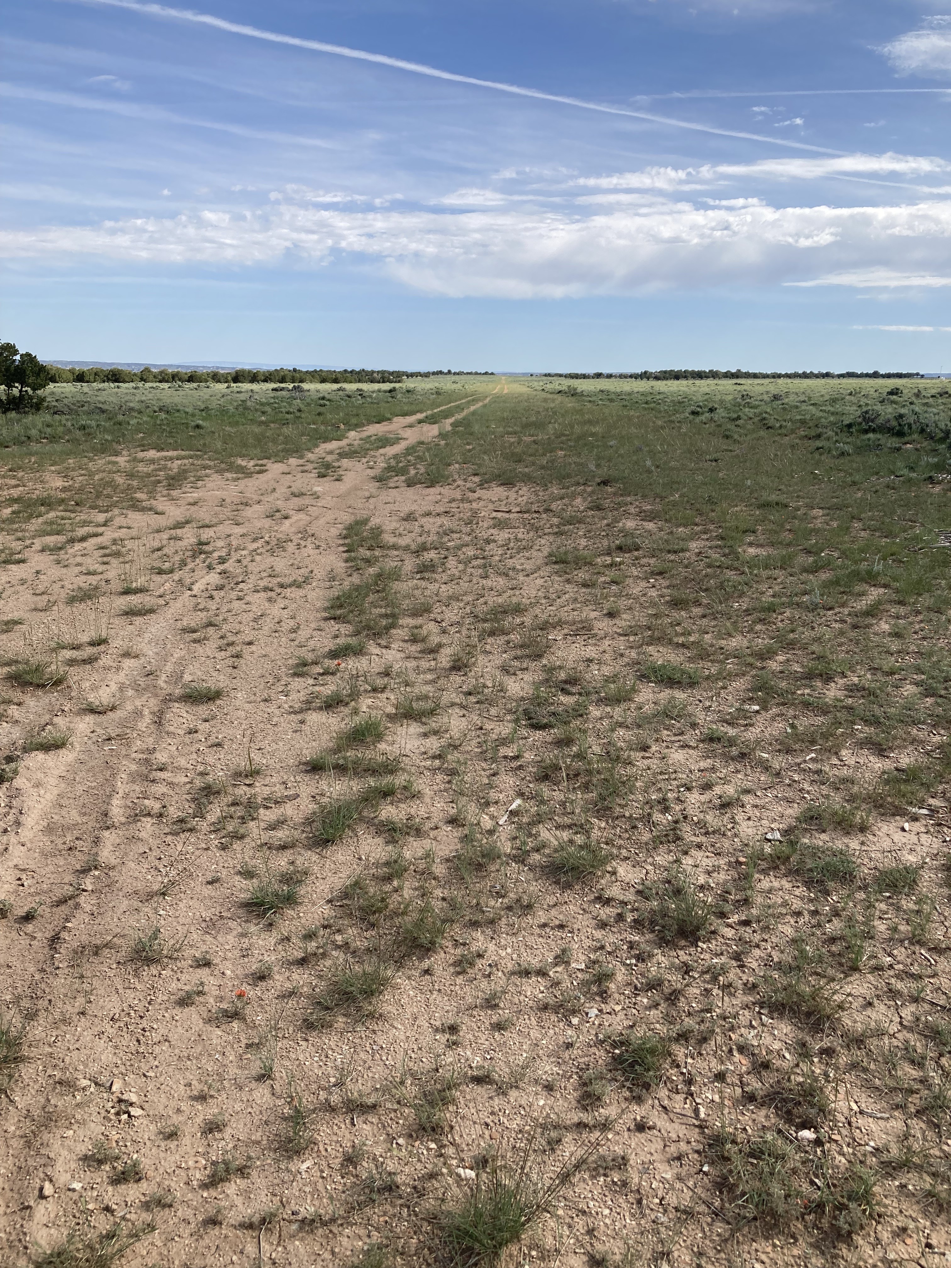
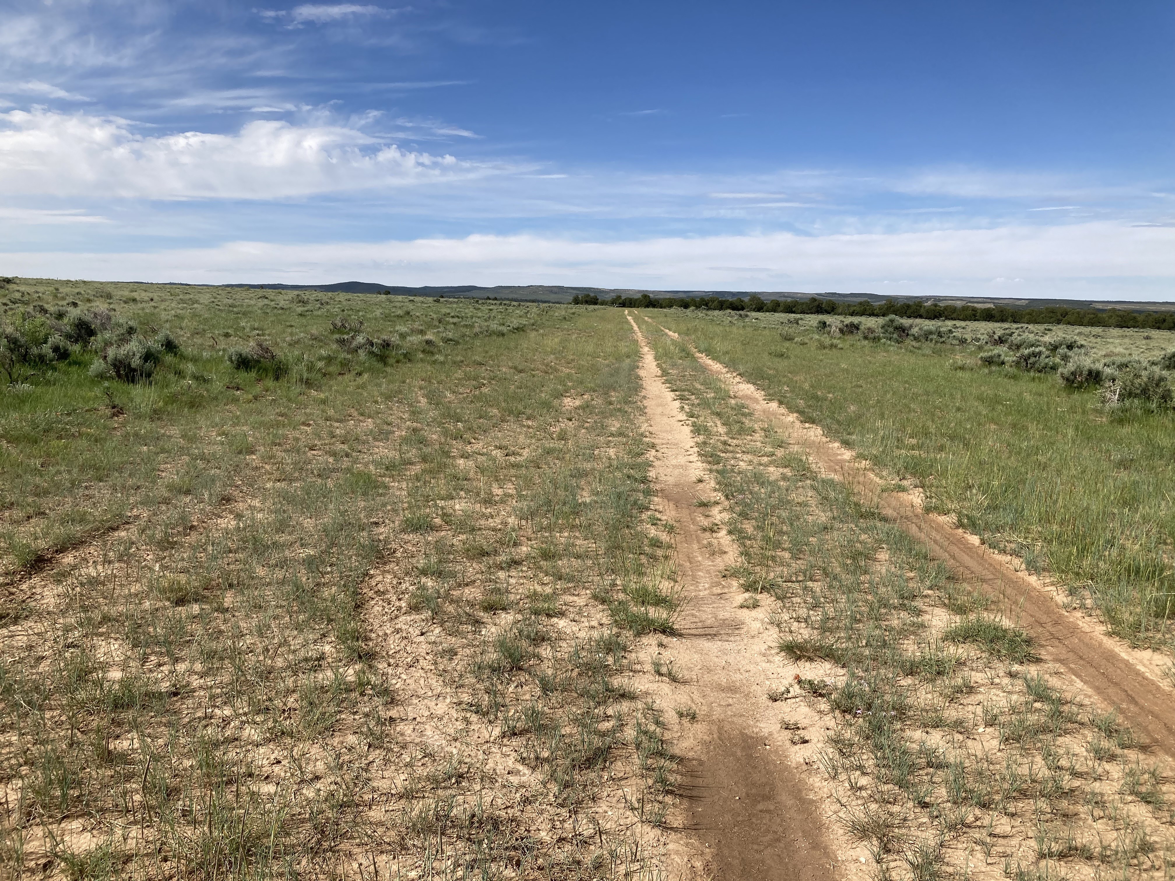
Airstrip looks to be in decent shape with a two track road down it. A good candidate for a windsock and maybe a work party if needed.

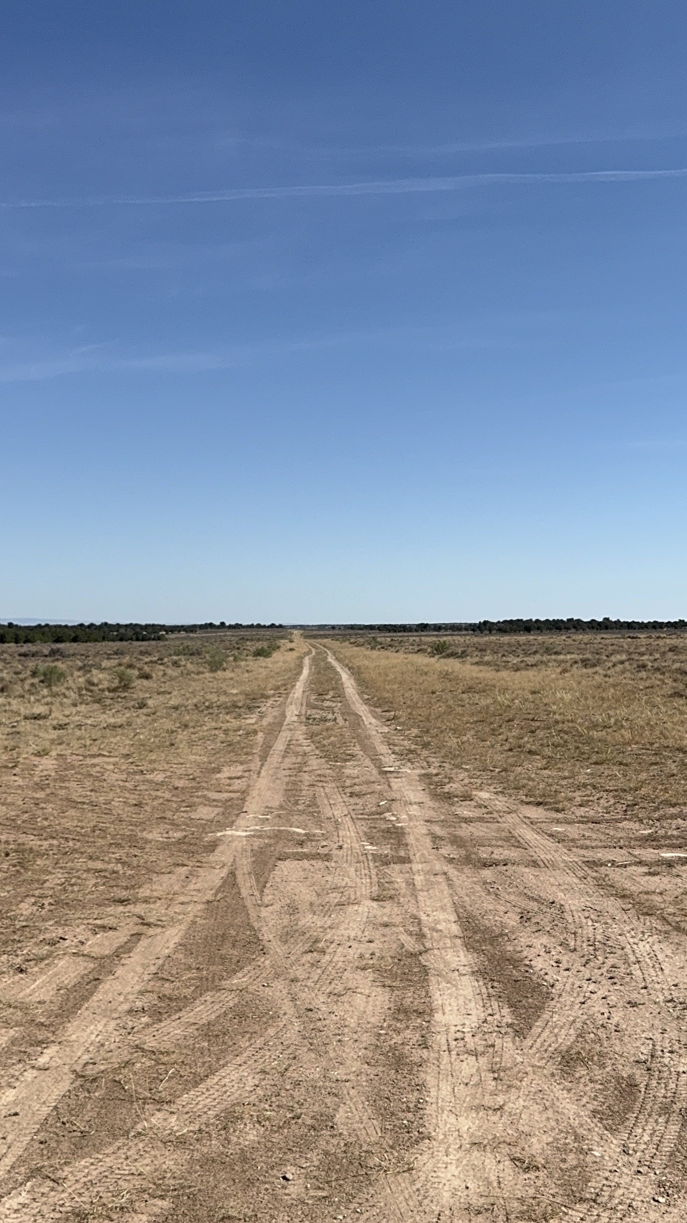
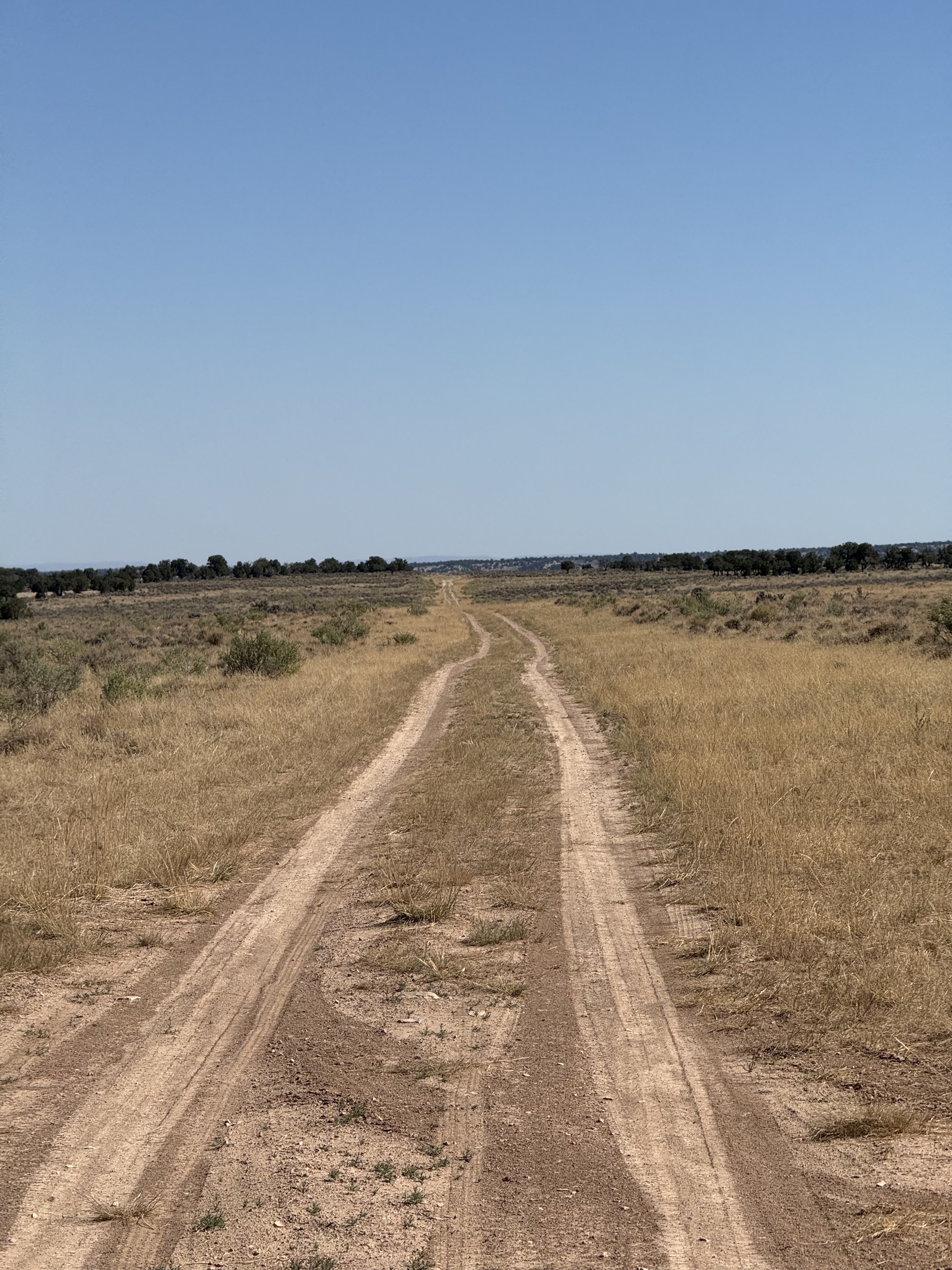
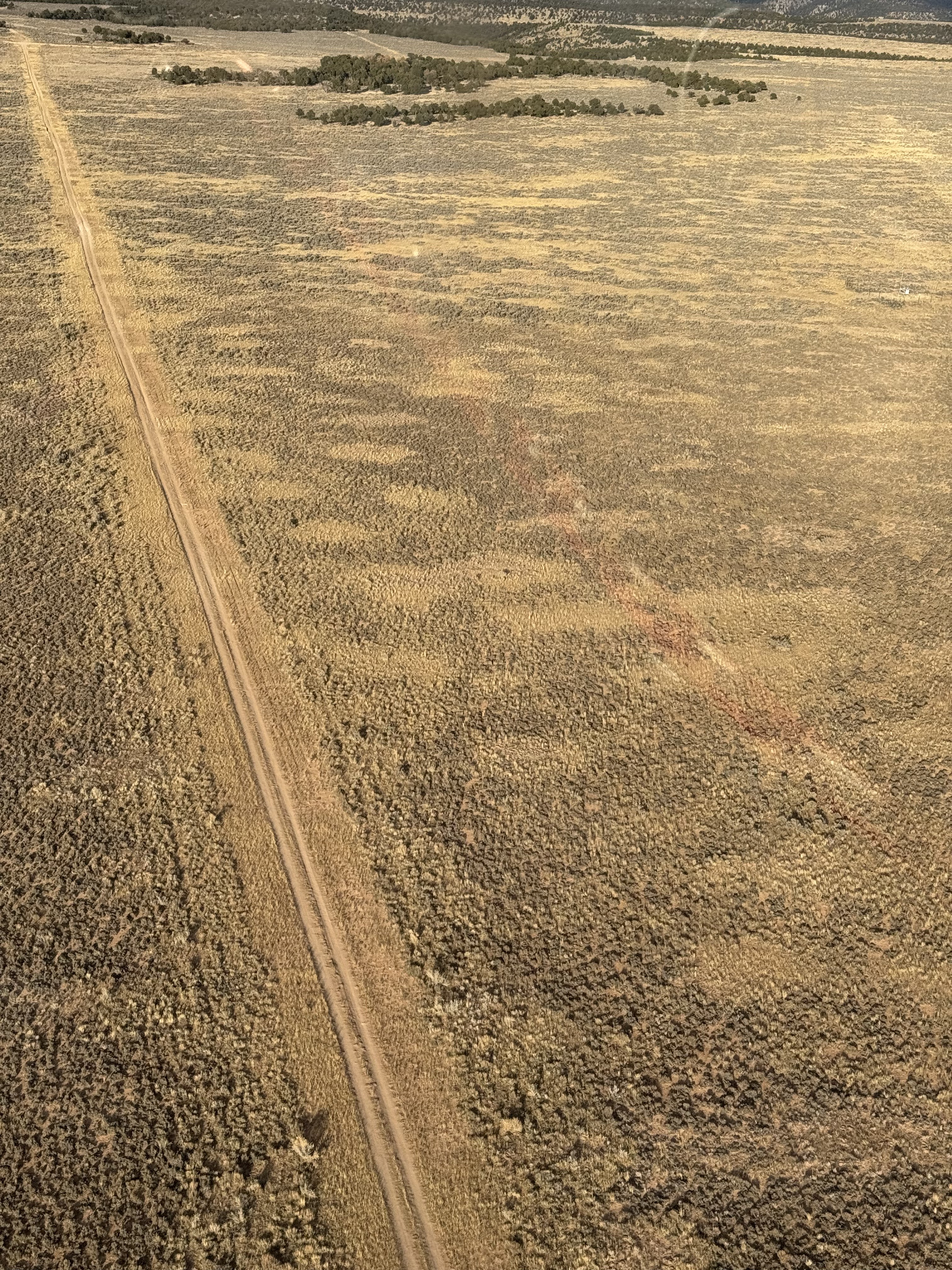
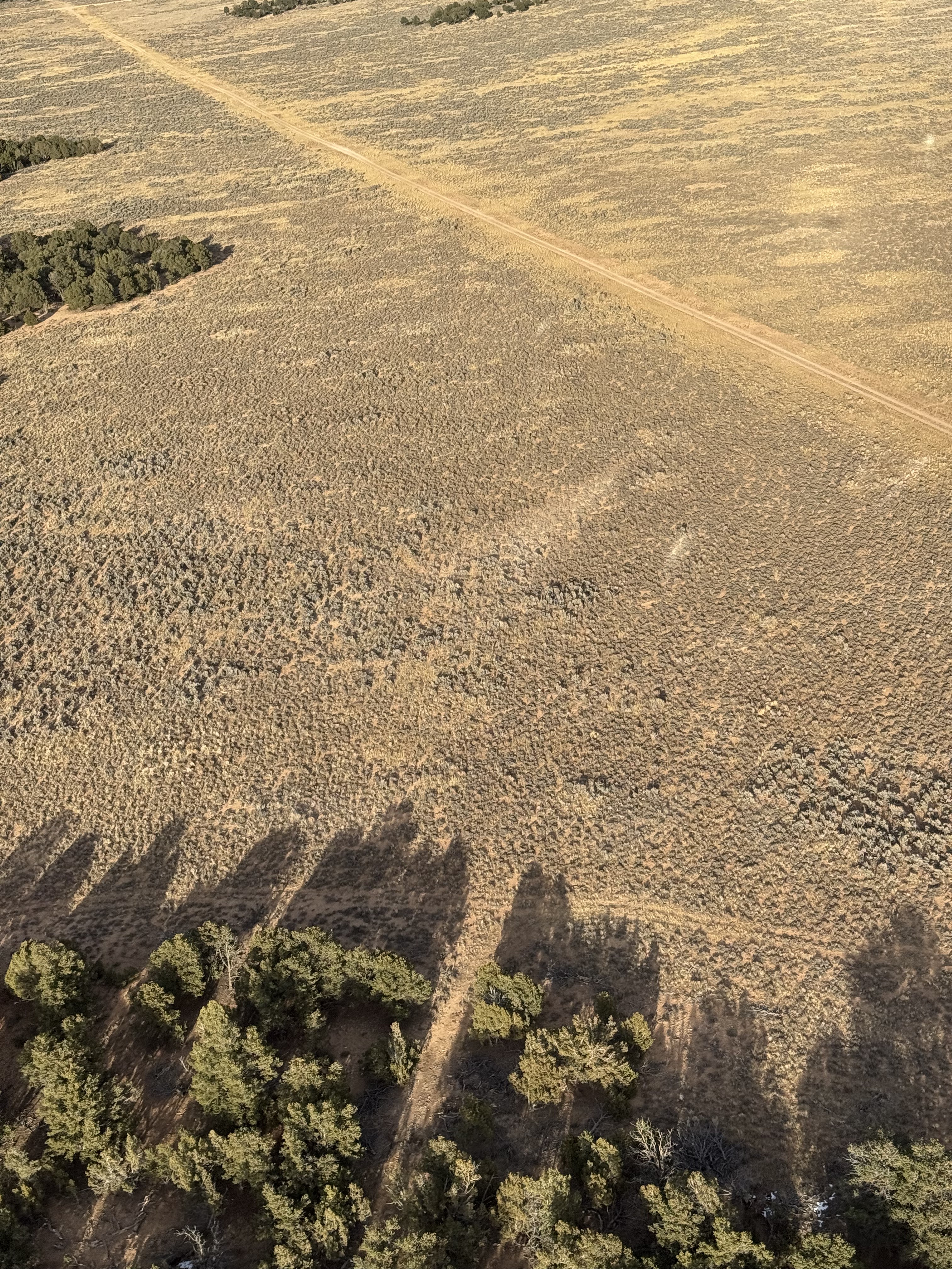
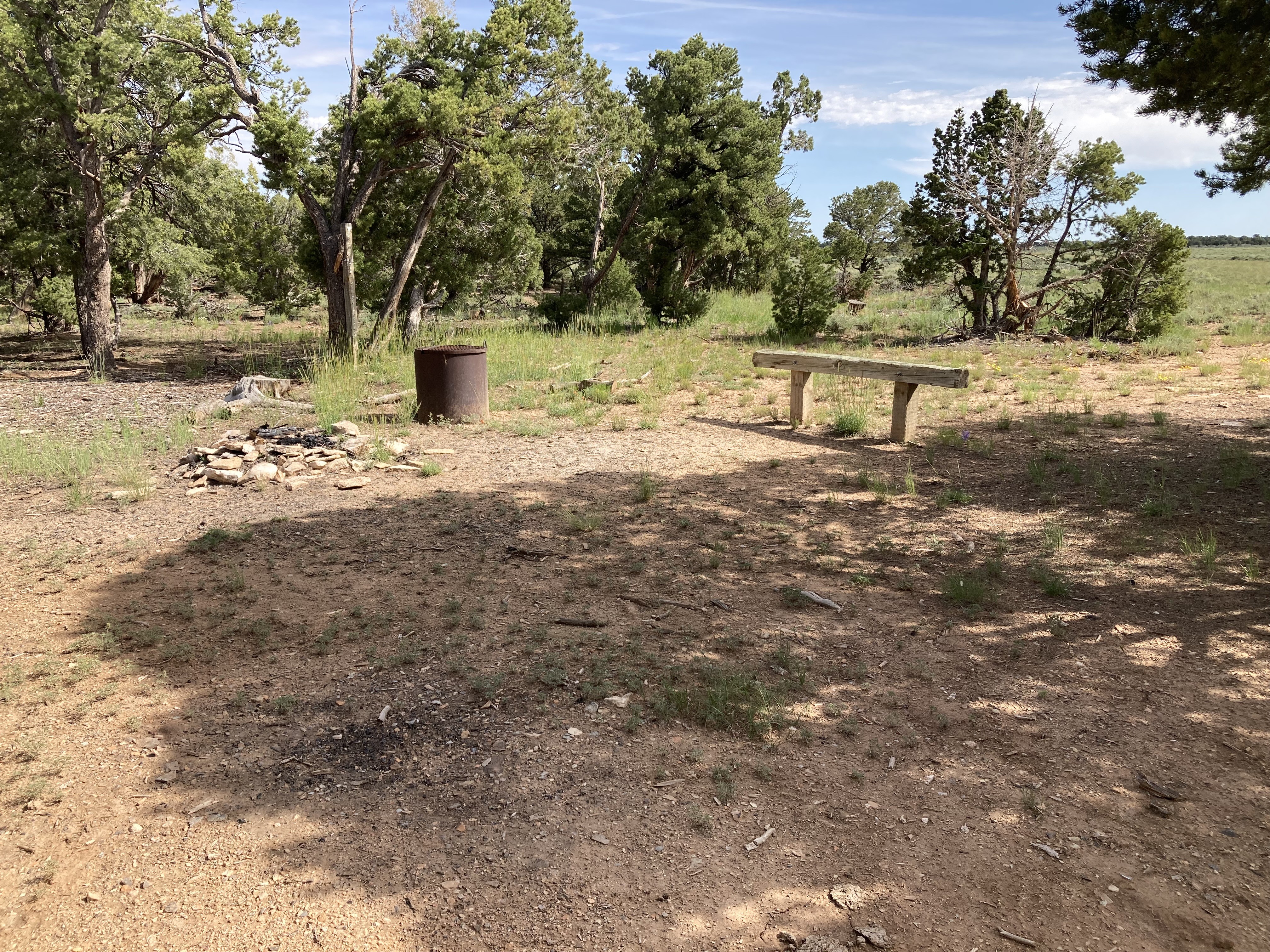
Runway is approximately 01/19 in direction, elevation 6800’. The southern 1900’ of the runway is in great condition with a road running lengthwise through it. The remaining northern part of the runway has deep ruts from the road and is rough and muddy in places. At the south end of the runway is a lovely camping spot with a firepit, grill, and a hitching post. This place is a hidden gem.
We haven't written a history for this airstrip yet. If you would like to provide us with some information about this strip, please contact us today!