Airstrip Info
| Frequency | 122.90 |
|---|---|
| Elevation | 6724 ft |
| Lat/Long |
38.7057, -110.8667 38° 42.342' , -110° 52.002' |
| Runway 2/20 |
4769 ft
x 40 ft
Grass, brush Rwy 2 Uphill 1.0% |
| Ownership | BLM |
Weather
See more at the National Weather Center
Information updated April 18, 2023 @ 9:17am
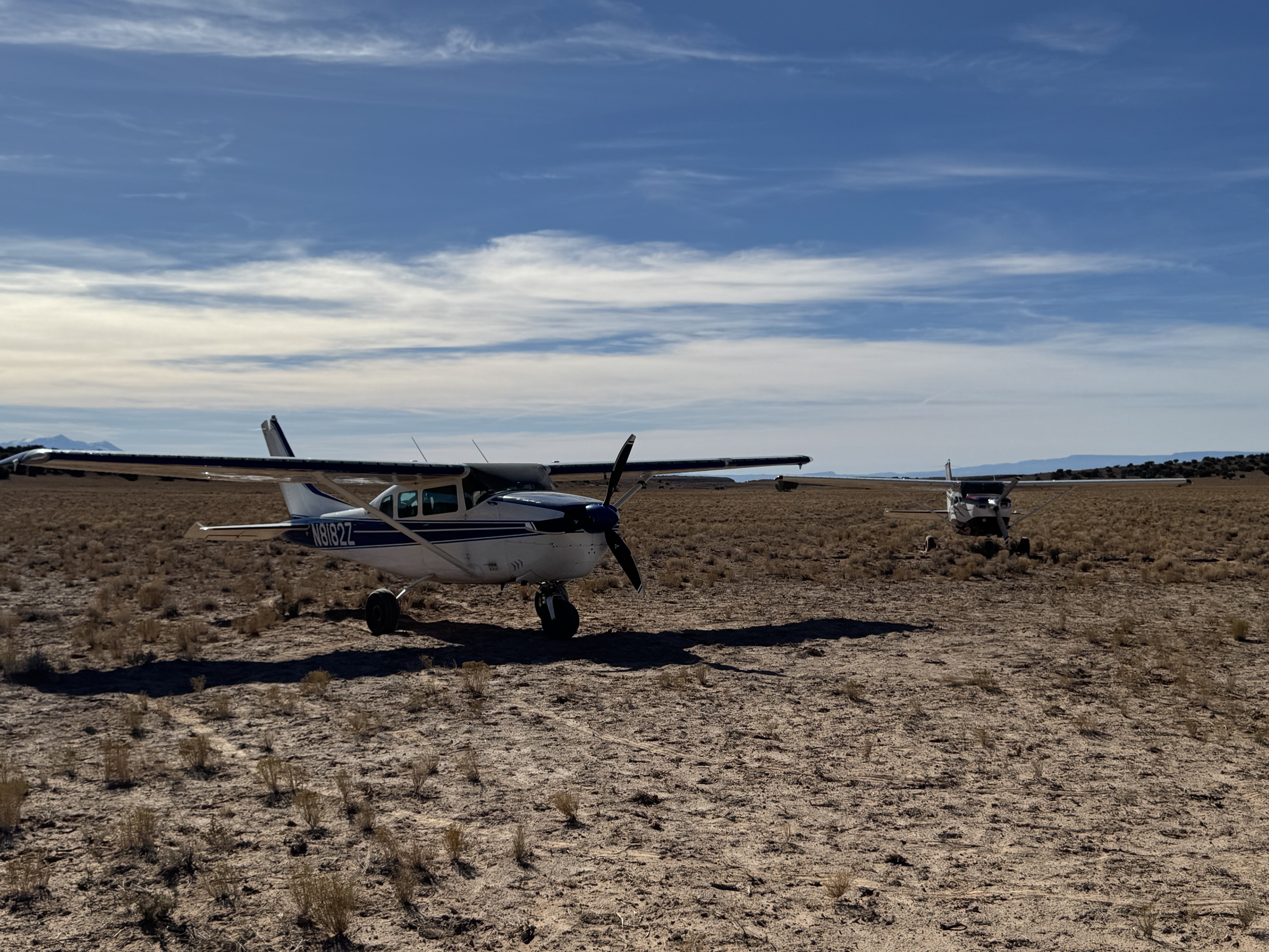
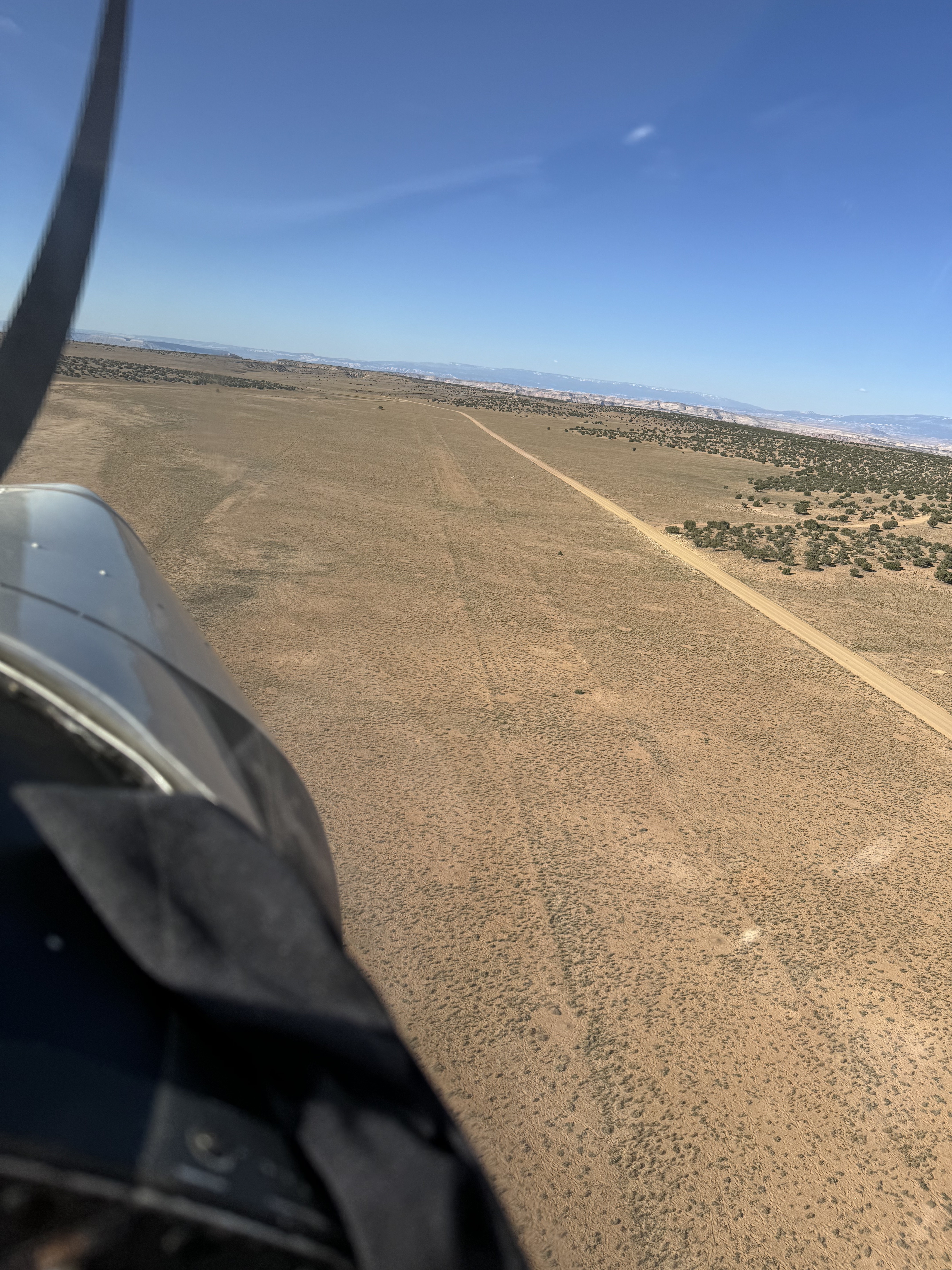
1000 feet of runway has been cleared by the UBCP. Overrun is available as well but brush gets bigger at the ends. A new windsock stand and sock have been put up as well. There are some nearby slot canyons to explore as well as wild horses.
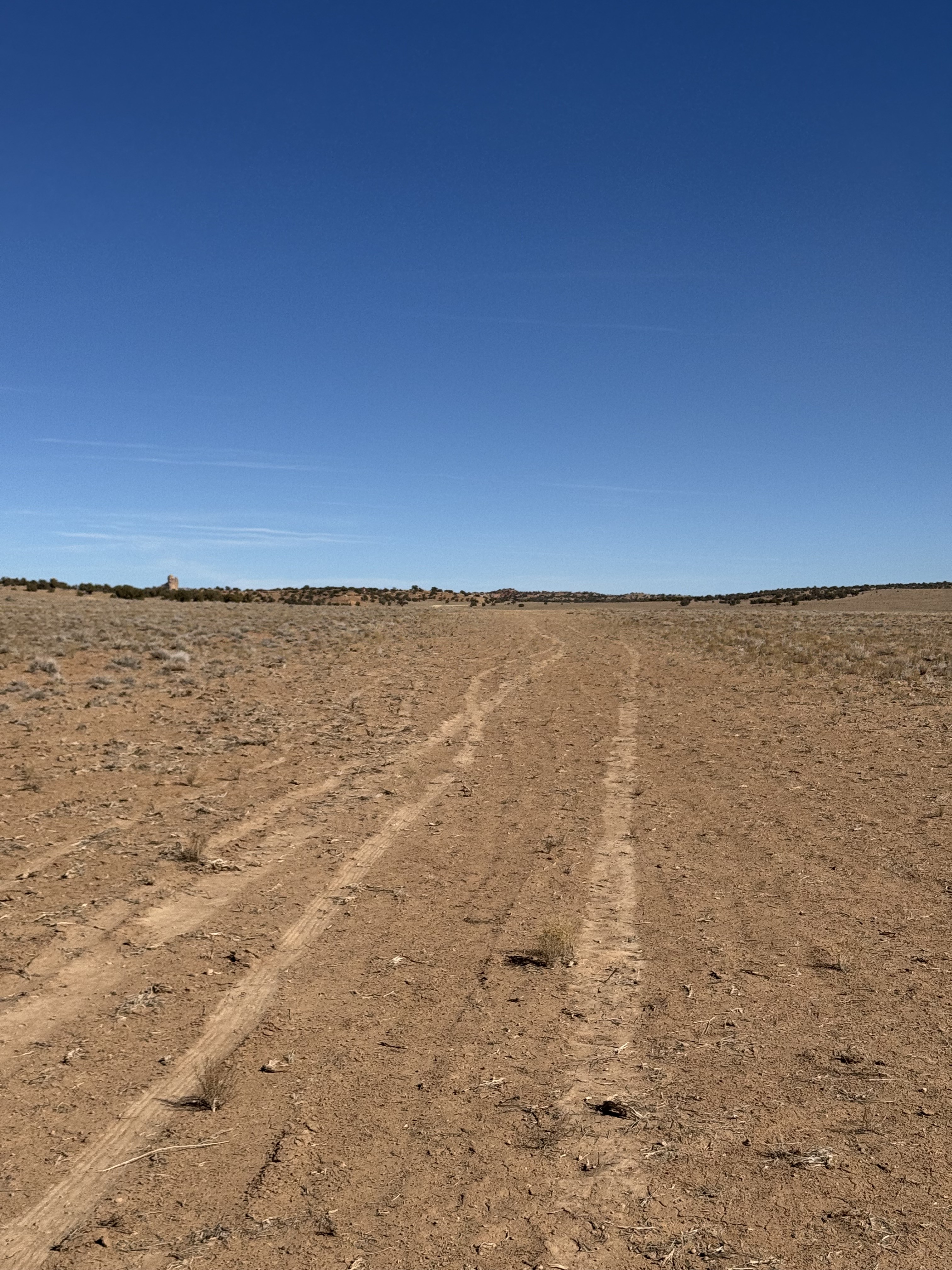
Ever since I read about the drug bust here I’ve always wanted to land here. Thanks to those that cleared out about 1000’ of it. The strip is pretty lumpy/rough and more noticeable taxiing than landing. The road is definitely a nicer option. Very smooth but be away that it does have some fairly deep, sharp drop offs on its edges. At the intersection north of the strip there does appear to be not only ample room to turn around but also to park off the road.


We haven't written a history for this airstrip yet. If you would like to provide us with some information about this strip, please contact us today!