Airstrip Info
| Frequency | 122.90 |
|---|---|
| Elevation | 4952 ft |
| Lat/Long |
37.6495, -110.2989 37° 38.97' , -110° 17.934' |
| Runway 6/24 |
1541 ft
x 40 ft
Soft dirt Rwy 6 Uphill 3.2% |
| Ownership | BLM |
Weather
See more at the National Weather Center
Information updated January 4, 2025 @ 2:47pm


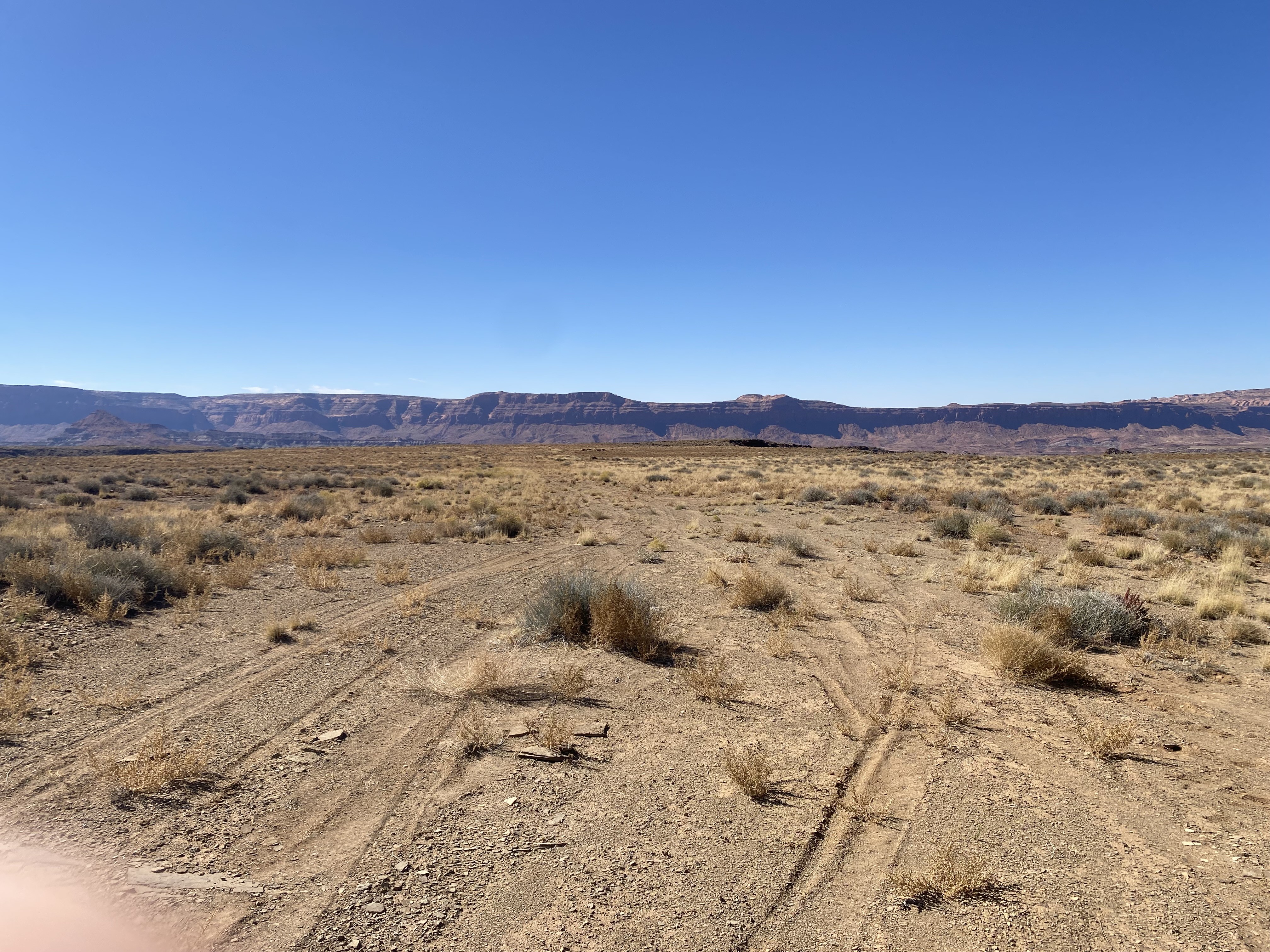
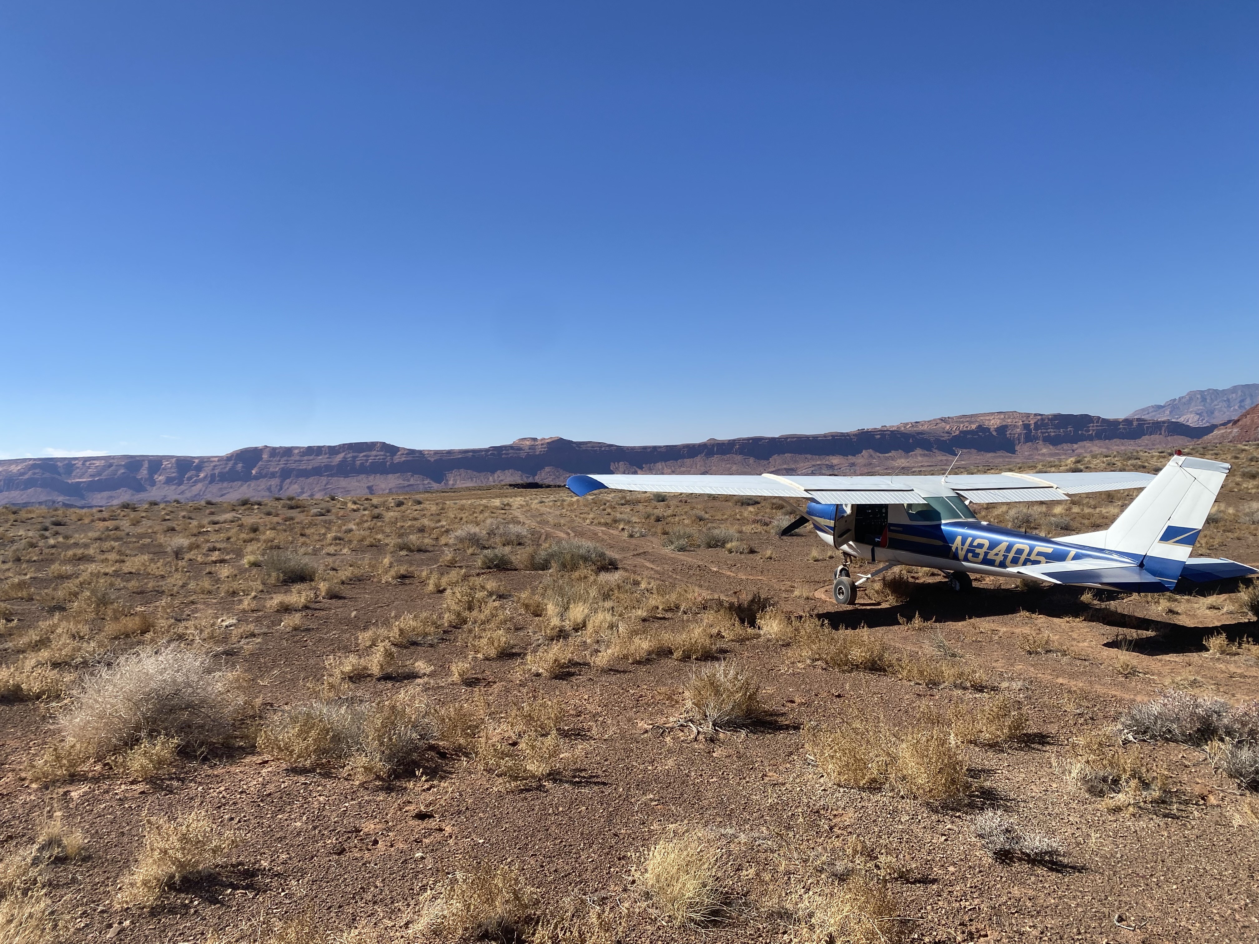
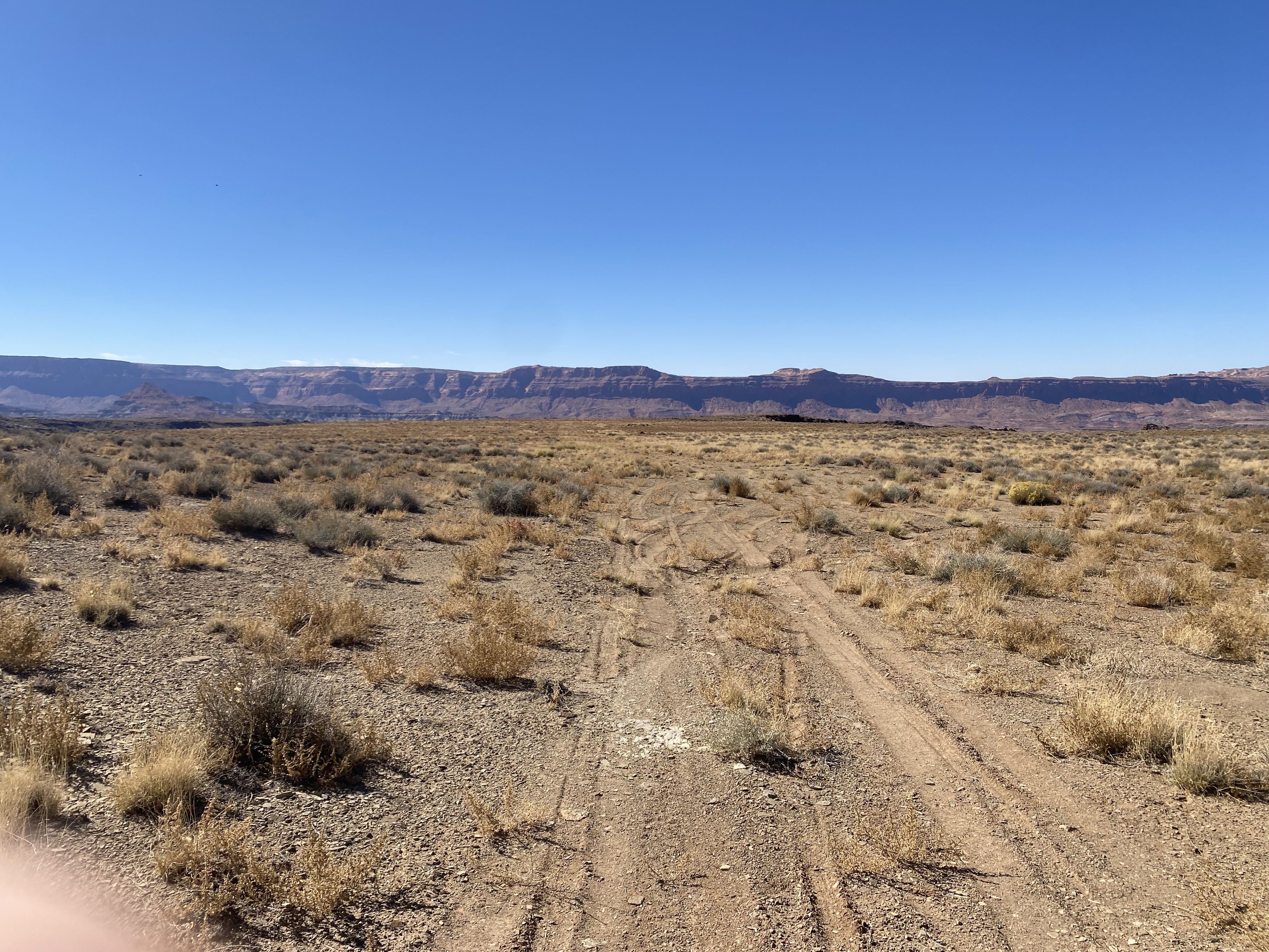
Definite soft field landing with a few very small erosion areas towards the NE end. Small grass and brush on and near runway for most of the length of it. Turning around requires some momentum and wide radius to avoid getting stuck (I learned first hand that doing different resulted in having to get unstuck).
An area chock-full of historical events, such as the 1884 Fight at Solider Crossing, the Piute Canyon airstrip is yet another one of Utah's backcountry airstrips that likely stemmed from the uranium boom of the 1950s. Having only been recognized as a road by the USGS on the 1980s Hite Crossing, UT 1:100000 topographic map (which you can view by clicking here), decades prior the area was noted for a nearby mine that likely was the impetus of the creation of the airstrip.
While some online sources says the airstrip has since been decomissioned due to the lack of use, the airstrip regularly sees visitors who wish to take a part in some of the darkest skies in southern Utah. The remoteness of the airstrip provides ample opportunities for adventurers and explorers to travel back in time, partaking of the many remnants of earlier lives once thriving in this area. Structures of old stone homes and historic trails interwoven through nearby Wingate Mesa give the airstrip a great puropose as a trailhead through this scenic area.