Airstrip Info
| Frequency | Unknown |
|---|---|
| Elevation | Unknown |
| Lat/Long |
37.3877, -110.1237 37° 23.262' , -110° 7.422' |
| Runway |
|
| Ownership | BLM NM |
| BLM District | Canyon Country |
Weather
See more at the National Weather Center
Information updated July 9, 2025 @ 5:37pm
Polly Mesa Airstrip is TEMPORARILY CLOSED. The airstrip is within the Bears Ears National Monument and the airstrip use is not allowed until the BLM has completed a NEPA review of the airstrip.
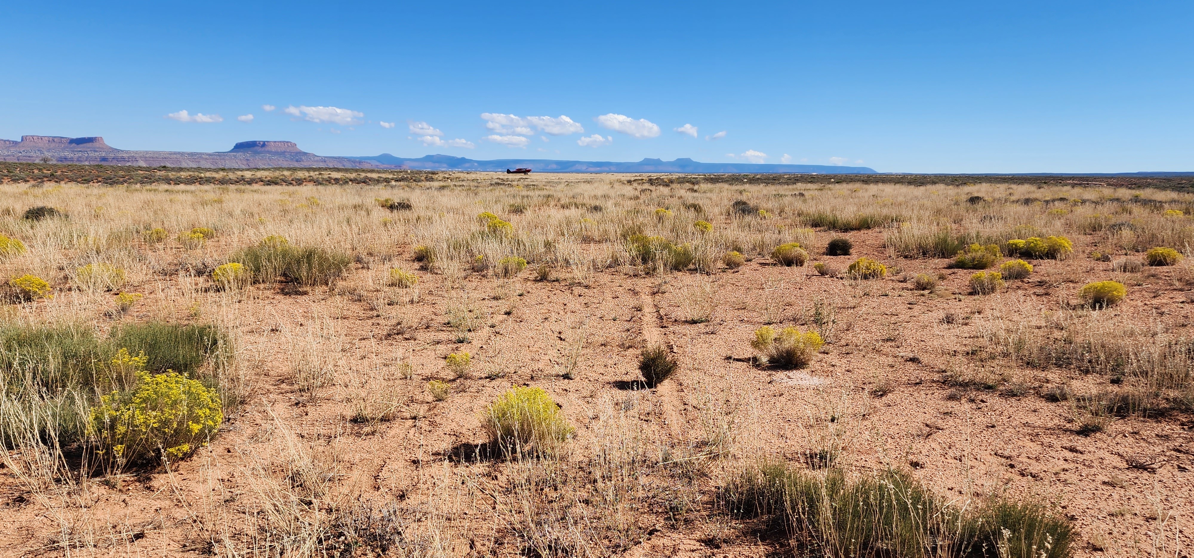
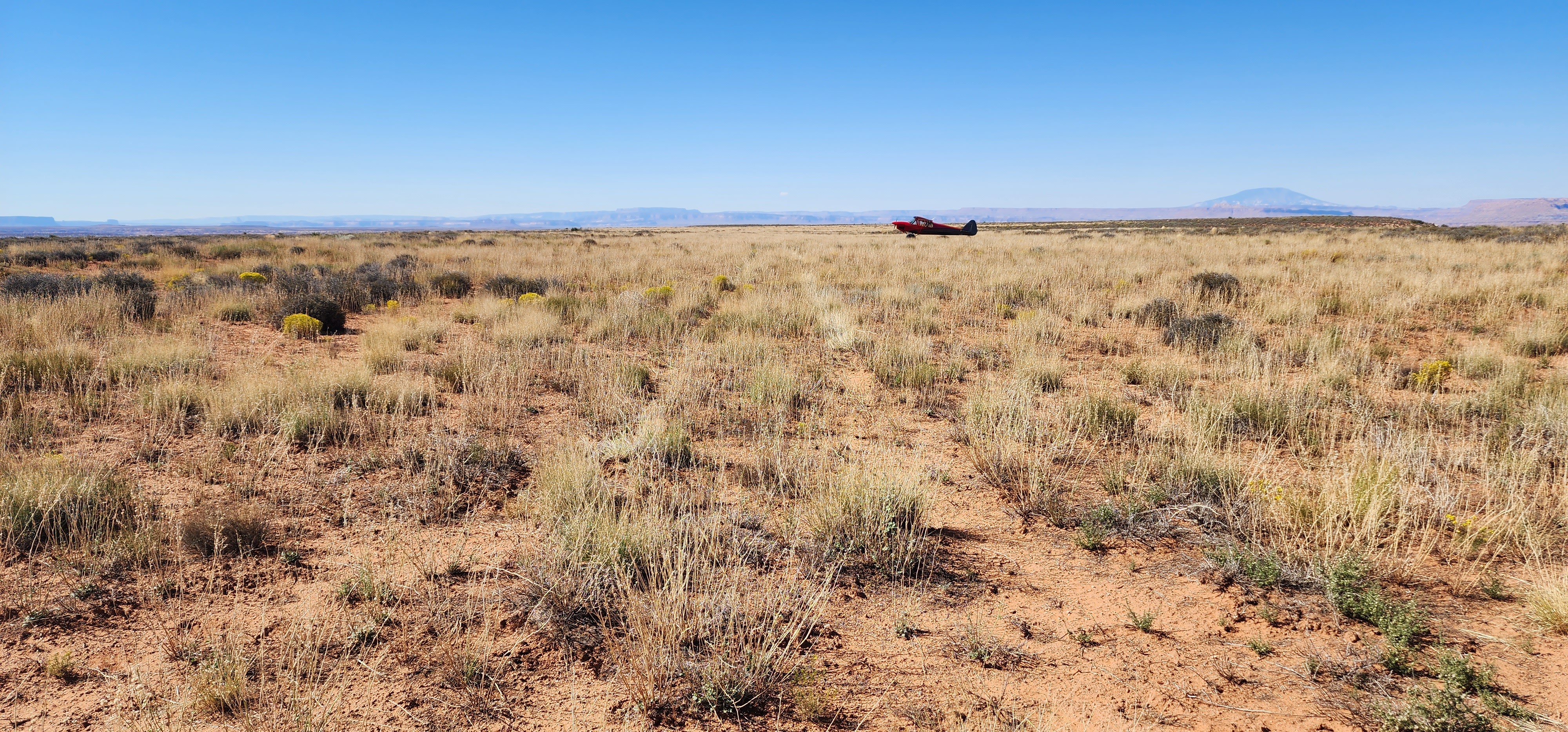
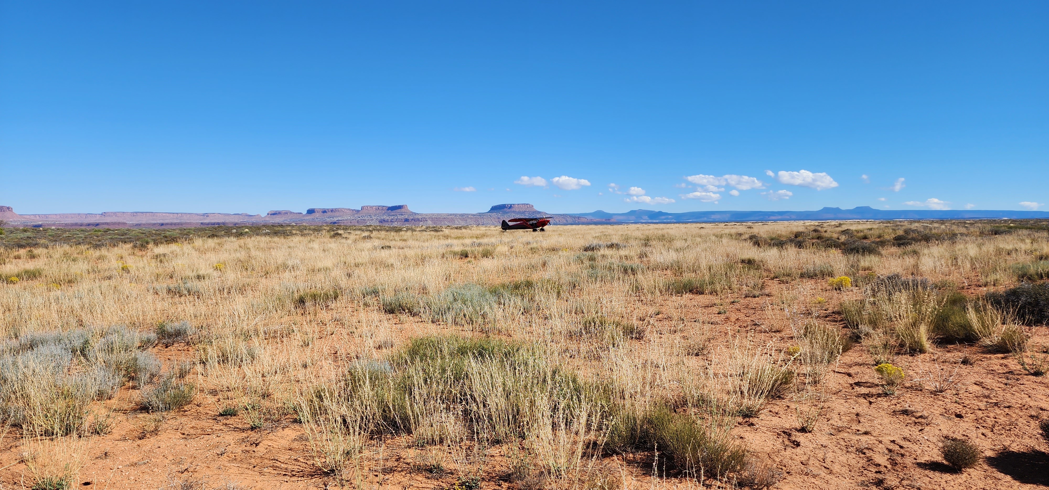
Outline of the strip is still visible. Looks like some good access to slot canyons.
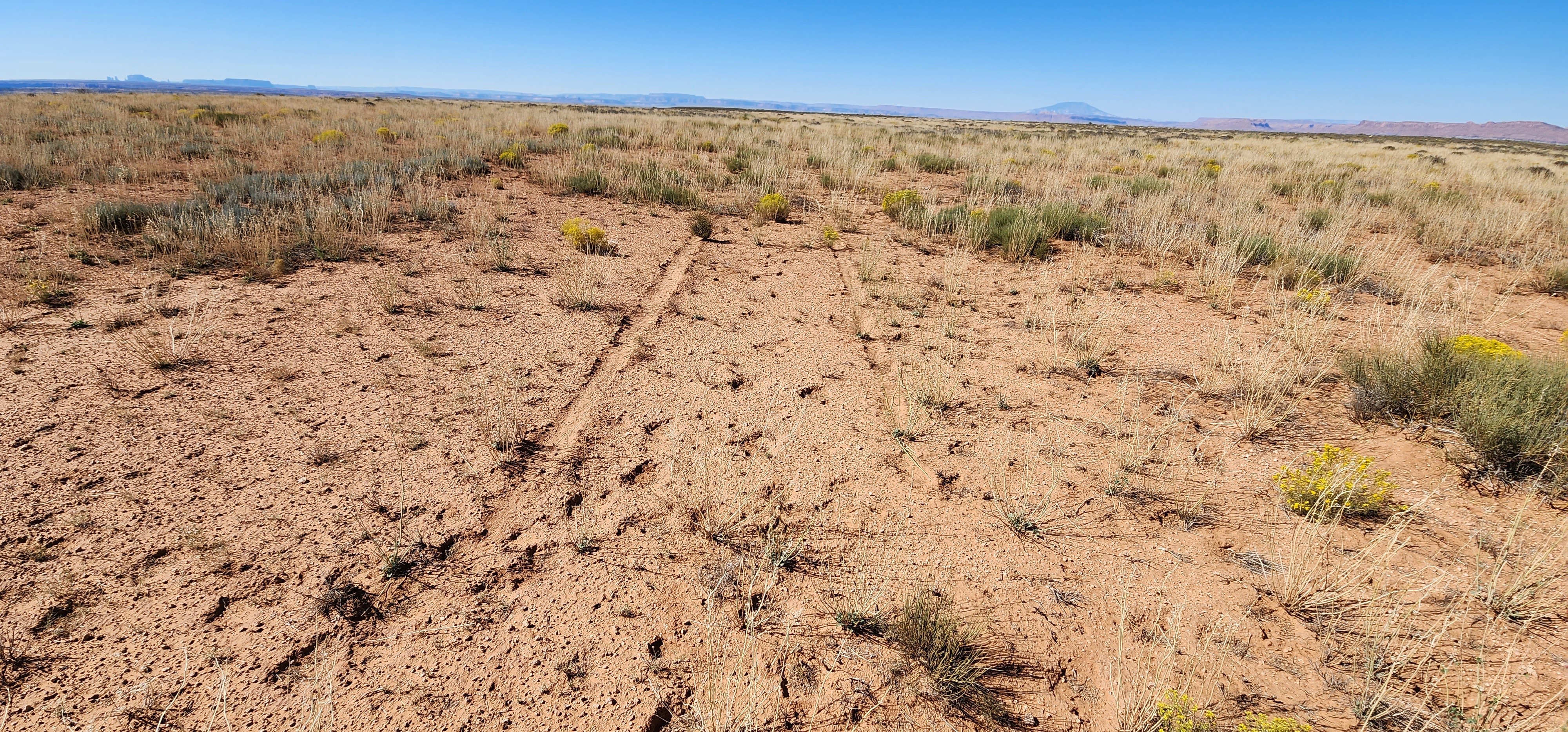
Very visible outline from altitude, but the lower you go the harder it is to make out... Especially On the ground! I had a hard time finding a good spot to land. After landing, I walked the entire strip, I think, and realized I landed just west of the strip (25 feet) on the northern end of the strip. I think my tire marks from dragging it would have been a better spot. Not recommended without bush tires due to overgrowth.
Polly Mesa's airstrip can be identified on many mapping software's base maps, although we have yet to find an iteration of the USGS map archives that have the airstrip identified. If you find one, please let us know! Below is a screenshot from the USGS database showing the airstrip in their base layer.