Airstrip Info
| Frequency | 122.90 |
|---|---|
| Elevation | 5055 ft |
| Lat/Long |
39.2254, -109.2673 39° 13.5223' , -109° 16.0352' |
| Runway |
800 ft
x 20 ft
Dirt |
| Ownership | BLM |
Weather
See more at the National Weather Center
Information updated March 4, 2024 @ 4:26pm
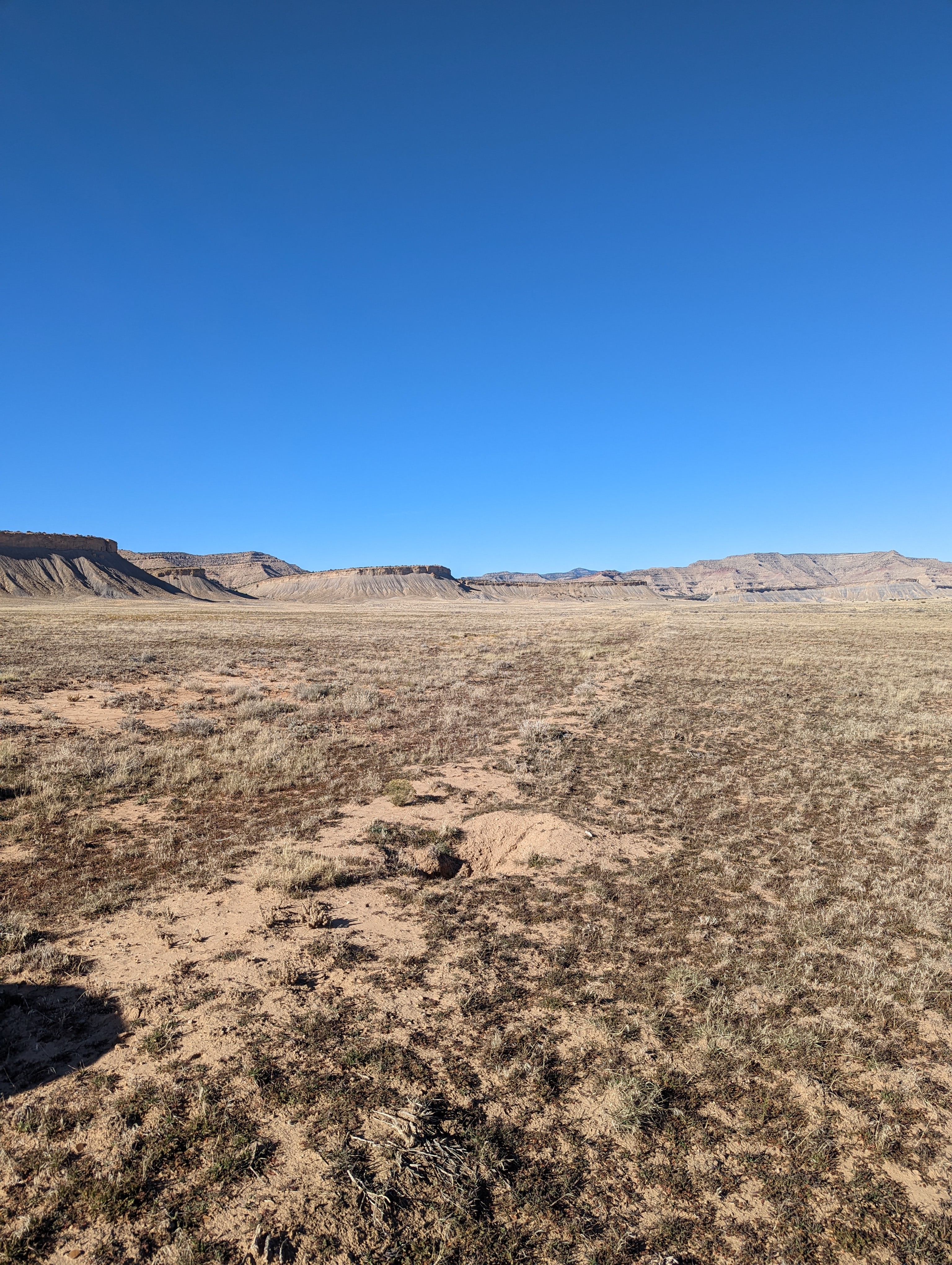
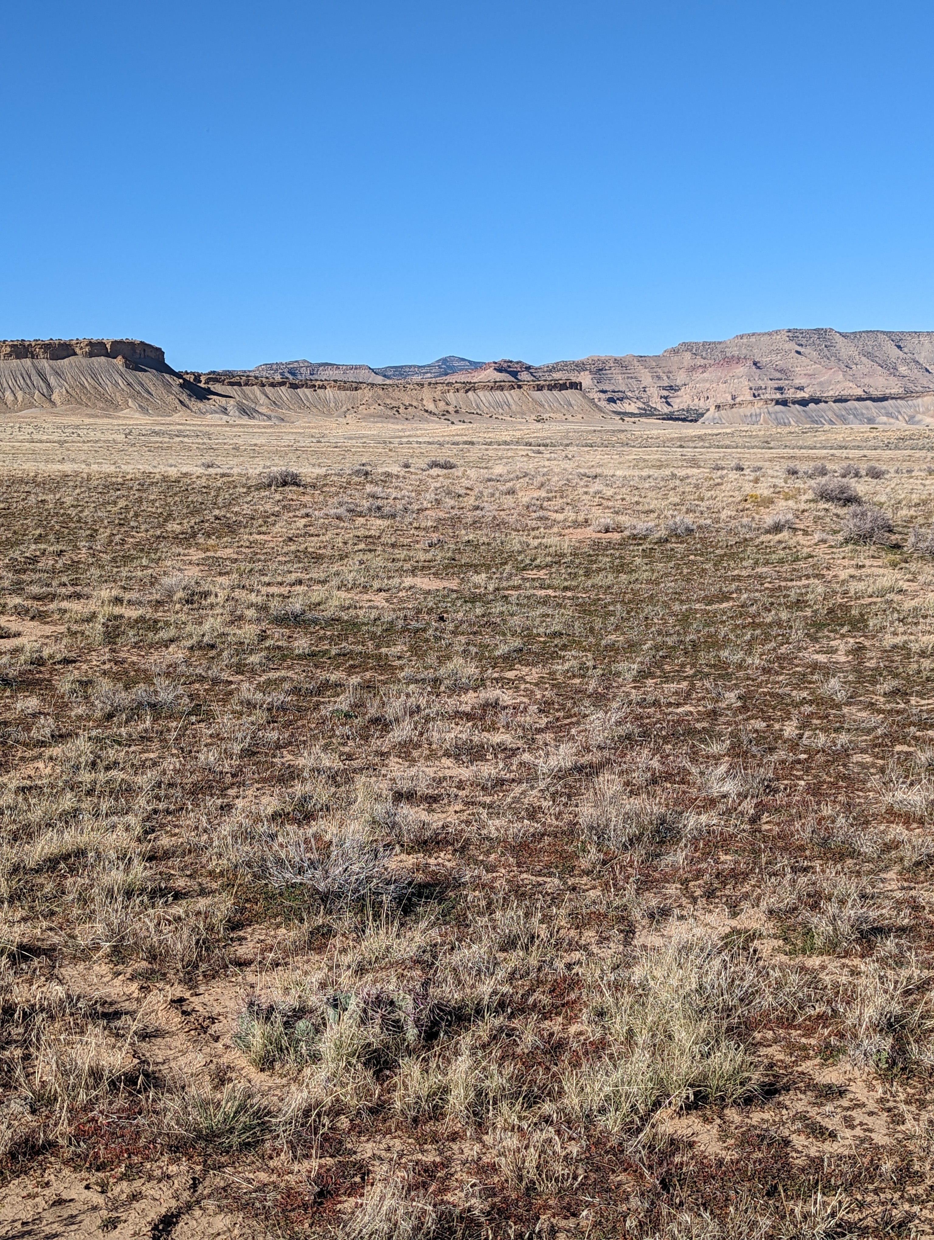
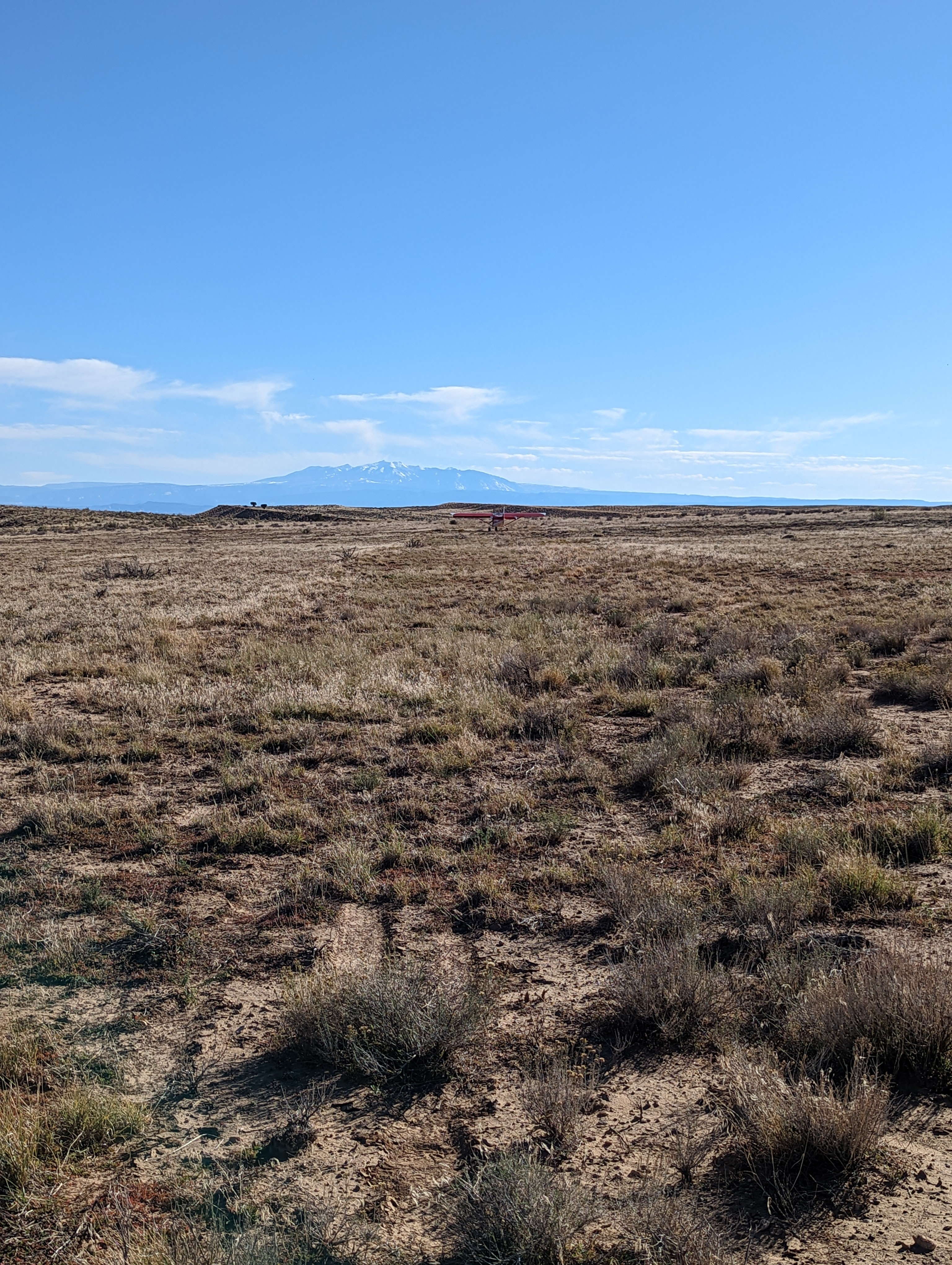
Old airstrip with some nice canyon hiking & exploring nearby. Short and rough, but nice spot to get away to.
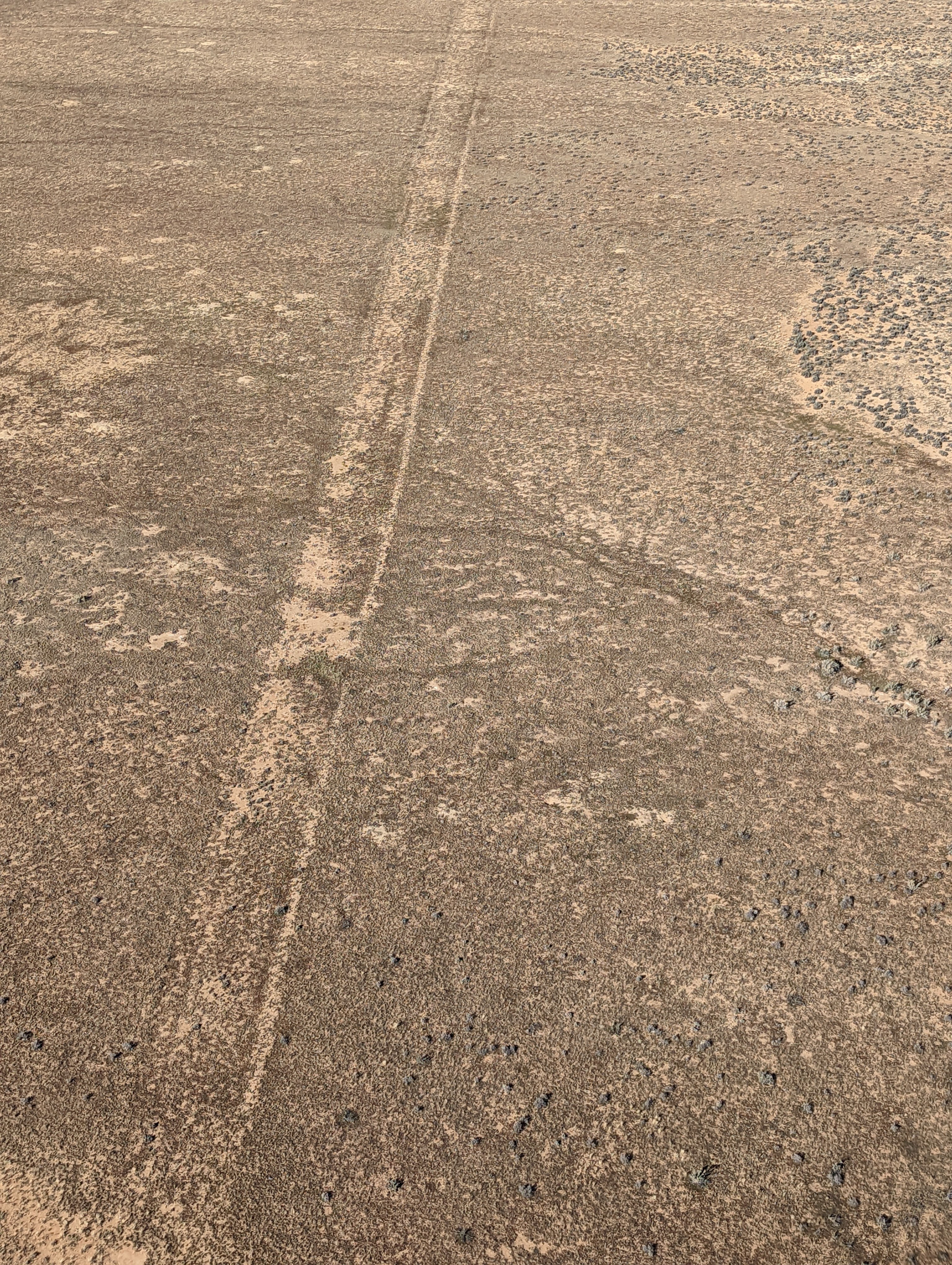
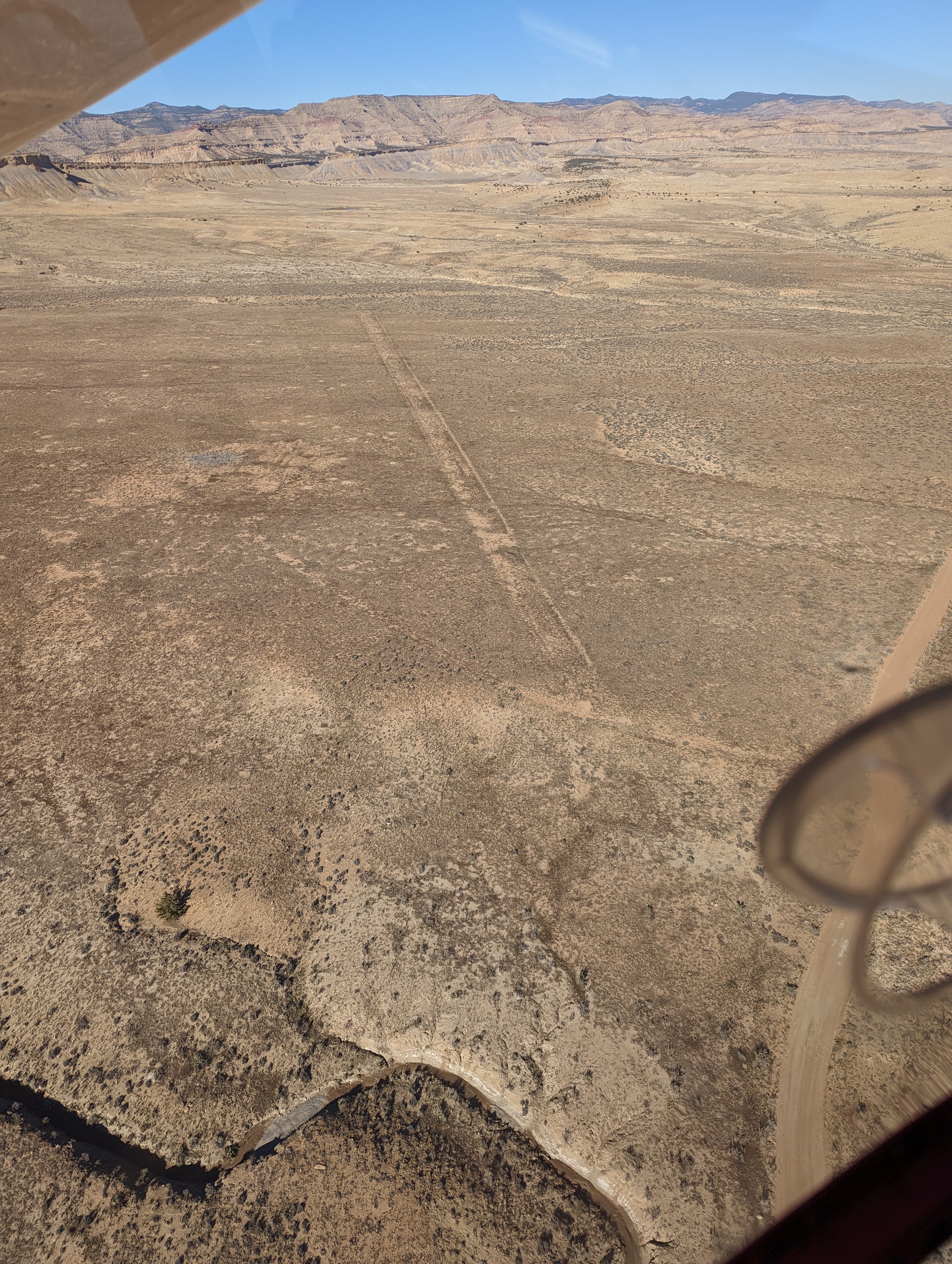
Runway is south/north and a bit bumpy due to clump grass. Some areas have sage. I recommend about 250' from the southern half to the north and on the east side of the runway as it is a smoother and little if any sage. The total original runway length looks close 2000 feet, but the best usable area is about 800' ft in the area I described before. The other areas get a bit bumpier with some sage but make ok nice overruns. No official parking area but you can easily pull off the runway to the east side and park in some smooth spots. Probably best for bigger tires. A nice spot and close to the CO border.
We haven't written a history for this airstrip yet. If you would like to provide us with some information about this strip, please contact us today!