Write an Airstrip Report
Airstrip Info
| Frequency | 122.90 |
|---|---|
| Elevation | 5200 ft |
| Lat/Long |
37.4815, -110.1843 37° 28.89' , -110° 11.058' |
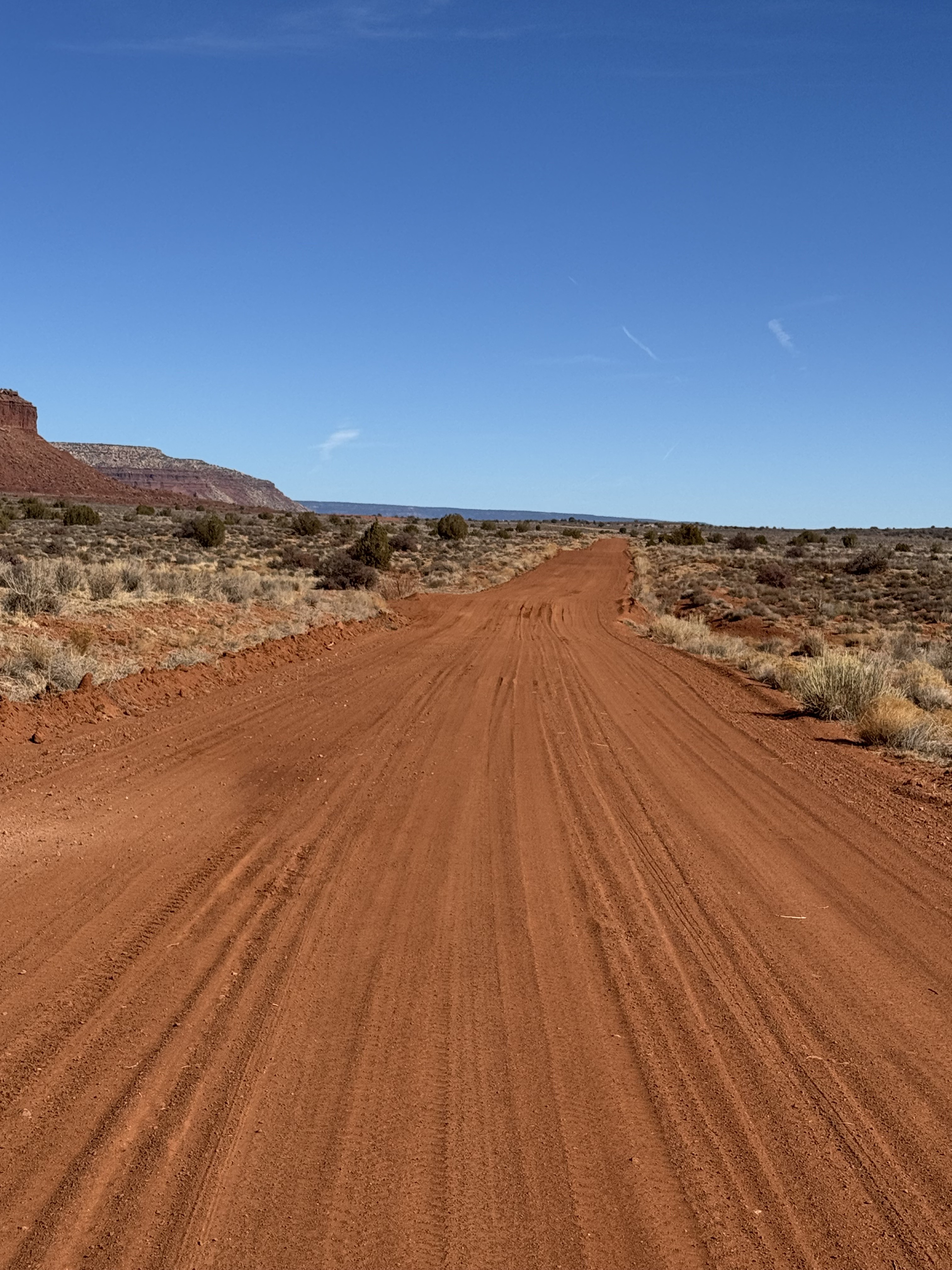
| Runway 17/35 |
2400 ft
Overgrown Dirt |
| Ownership | BLM NM |
| BLM District | Canyon Country |
Weather
See more at the National Weather Center
Backcountry airstrips are inherently dangerous. It is the sole responsibility of the Pilot in Command to ascertain airstrip conditions prior to use. Be certain to consider environmental, aircraft, and personal factors when determining suitability.
Use of the airstrips is at the sole discretion of the Pilot in Command. Fly safe!
Heads up: This airstrip is temporarily closed and should not be used.
Information updated July 9, 2025 @ 5:40pm
Red House Spring Airstrip is TEMPORARILY CLOSED. The airstrip is within the Bears Ears National Monument and the airstrip use is not allowed until the BLM has completed a NEPA review of the airstrip.
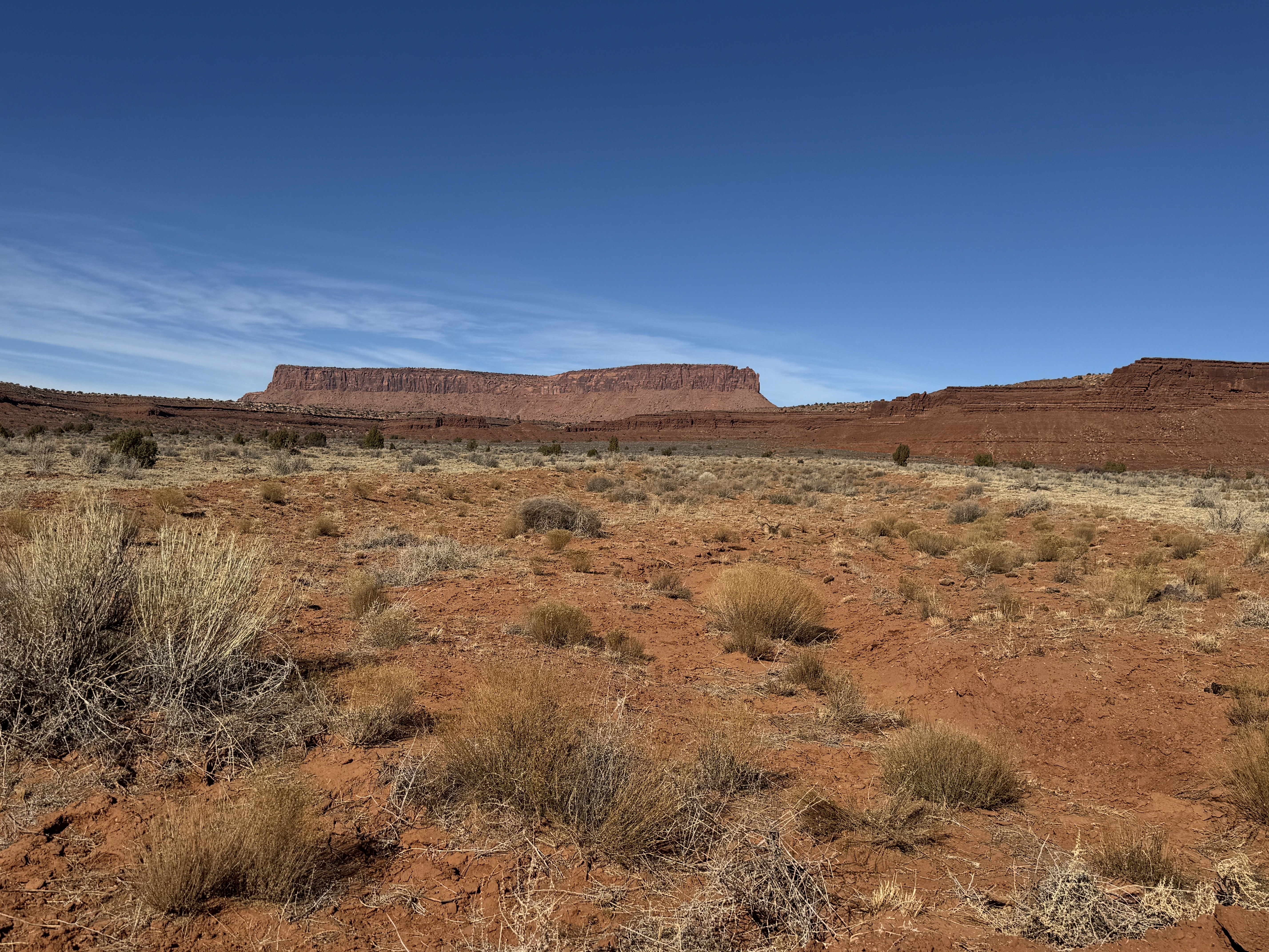
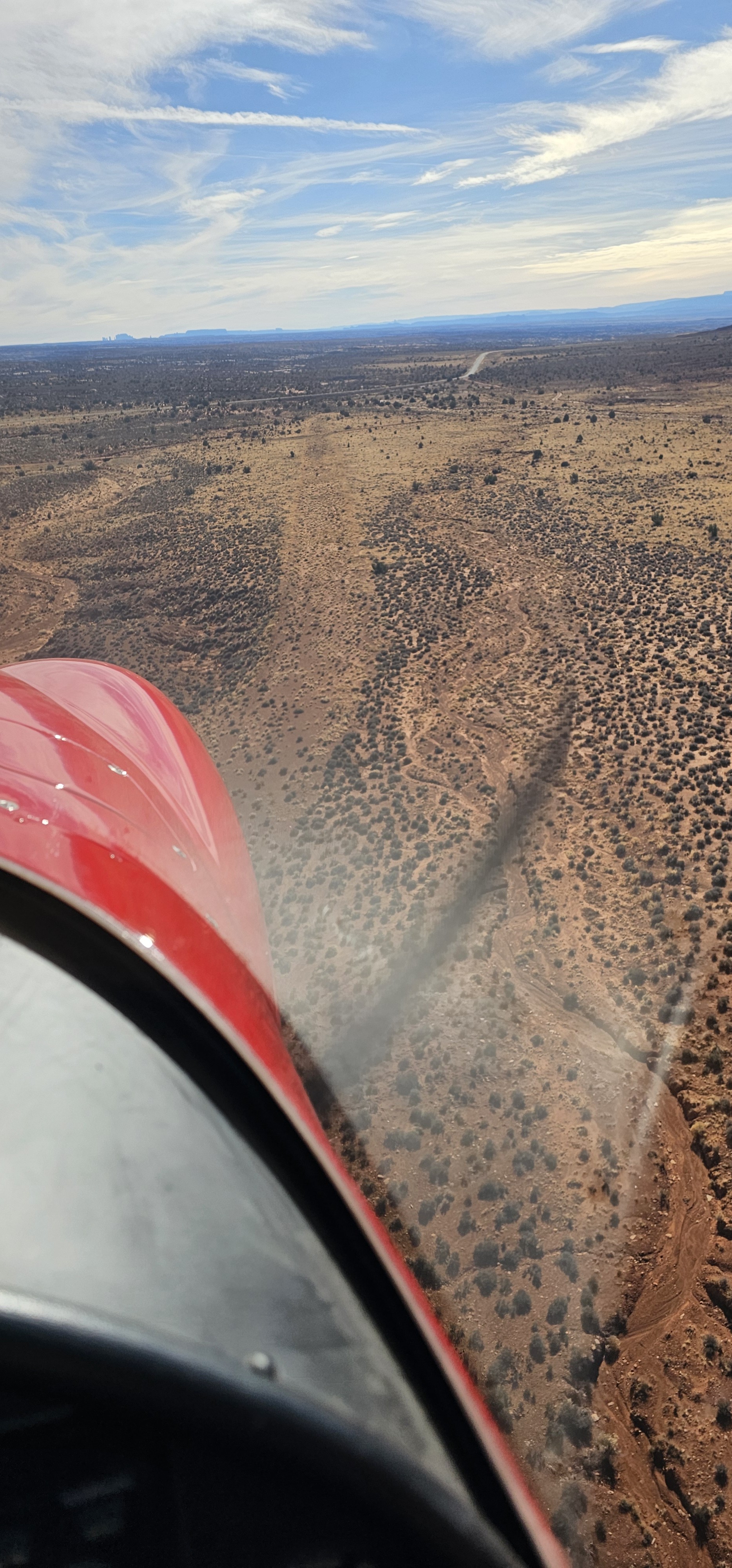
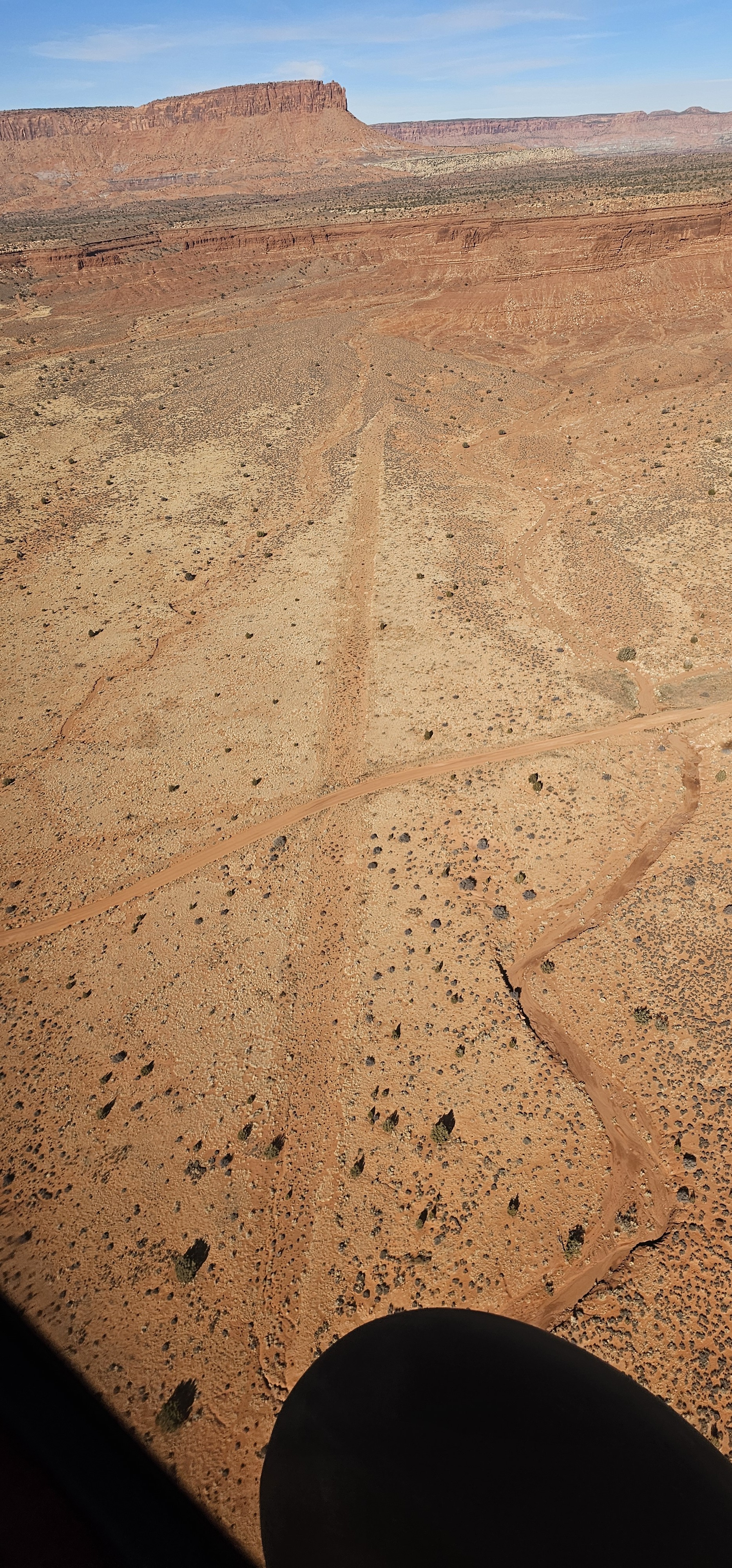
Strip is visible. Bisected by a road.
No recreational activities for Red House Spring yet! Add one now!
Make your Flight Plan at SkyVector.com
Red House Spring's airstrip has been identified on USGS maps since 1963. You can view this historic map below or download it by clicking here.