Airstrip Info
| Frequency | 122.90 |
|---|---|
| Elevation | 5820 ft |
| Lat/Long |
38.3713, -110.3078 38° 22.278' , -110° 18.468' |
| Runway 2/20 |
2530 ft
Dirt |
| Ownership | BLM |
Weather
See more at the National Weather Center
Information updated January 18, 2025 @ 12:00pm
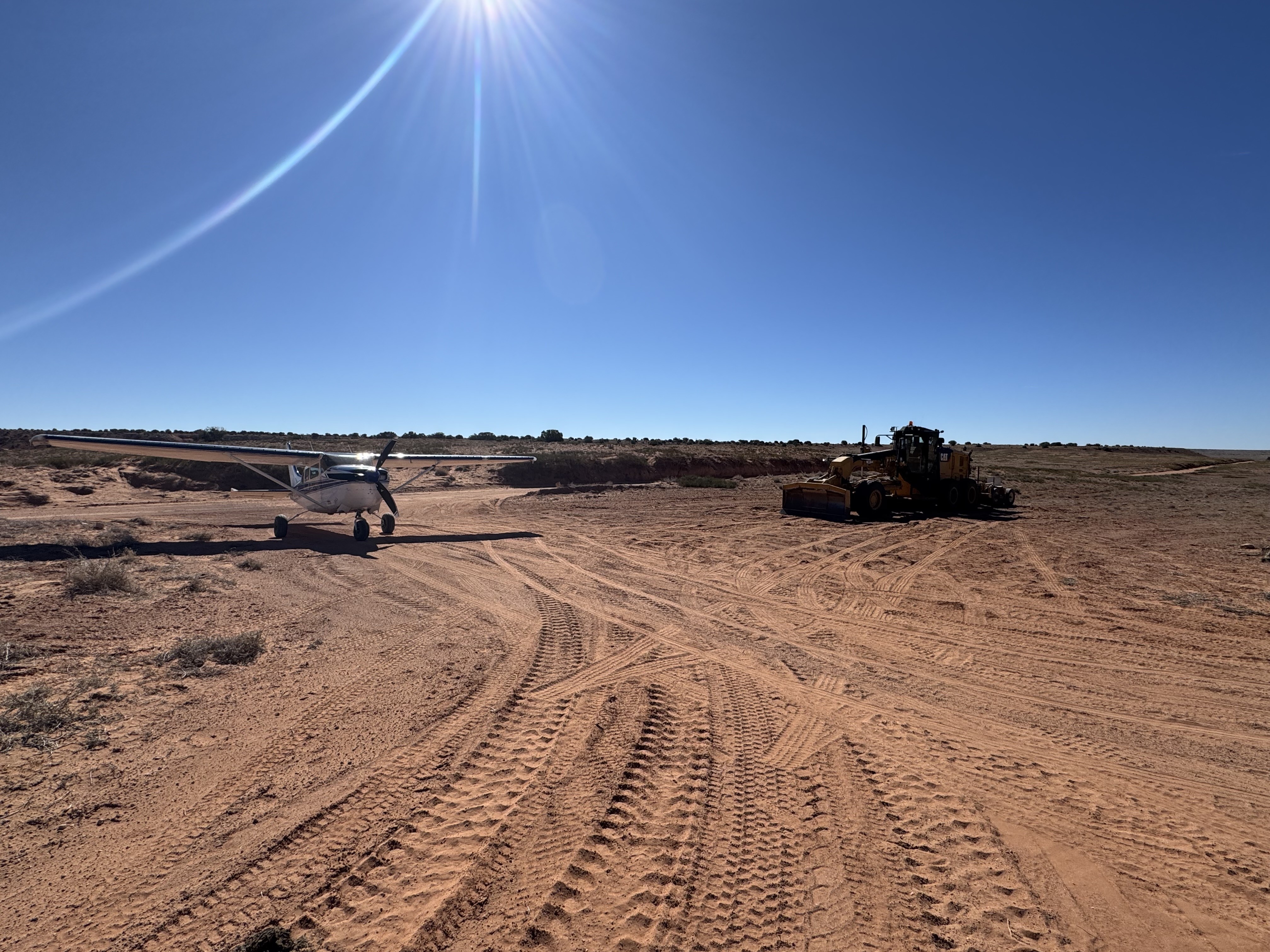
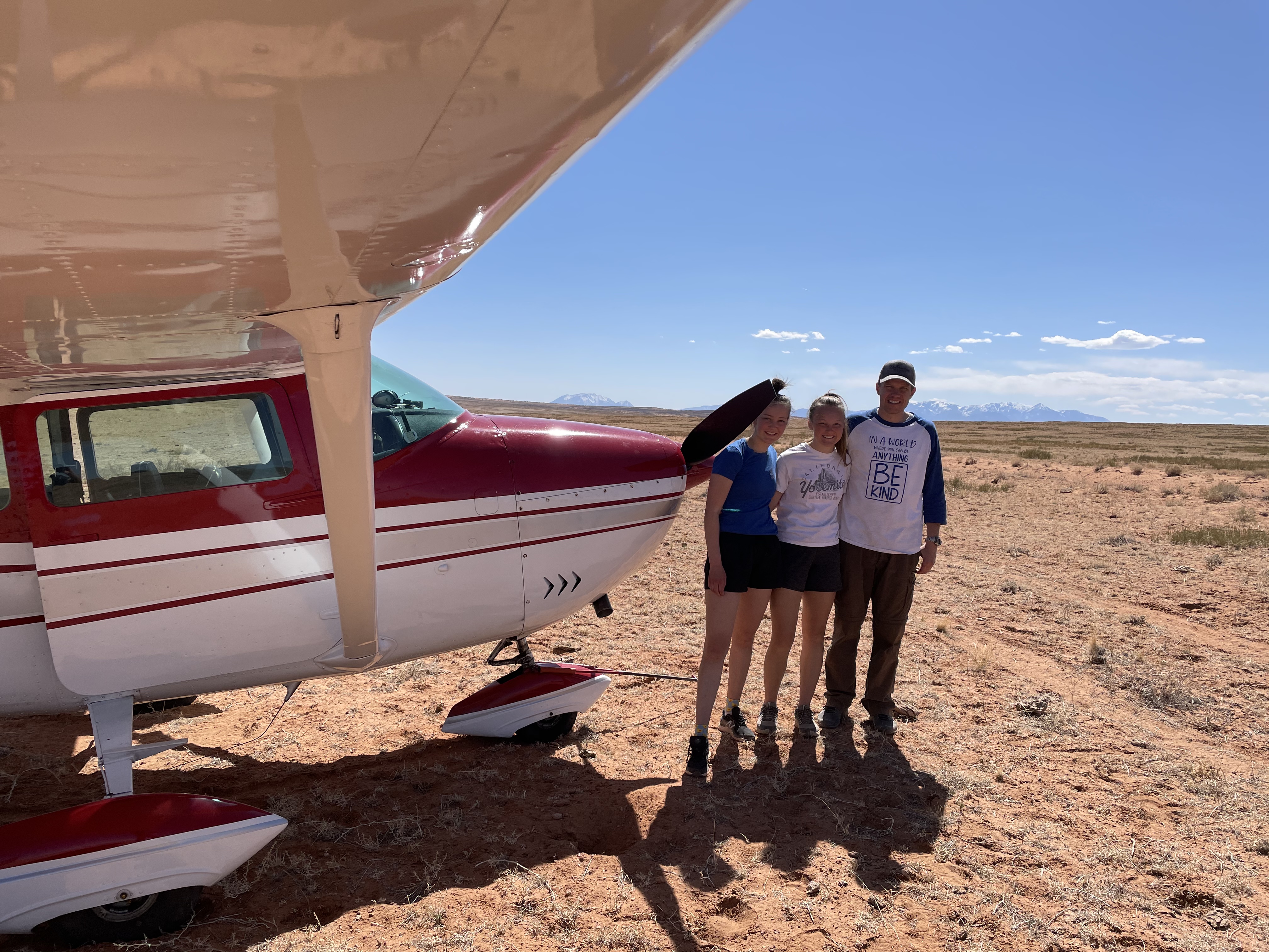
Landing south is a slight downhill grade contrary to the visual illusion of the sounding terrain. The strip has been recently graded but is relatively short and very soft. We departed downhill in a Carbon cub with full tanks, two passengers and used 70% of the graded area. Cactus surrounding the airstrip. No cell service. Roads are frequently traveled.


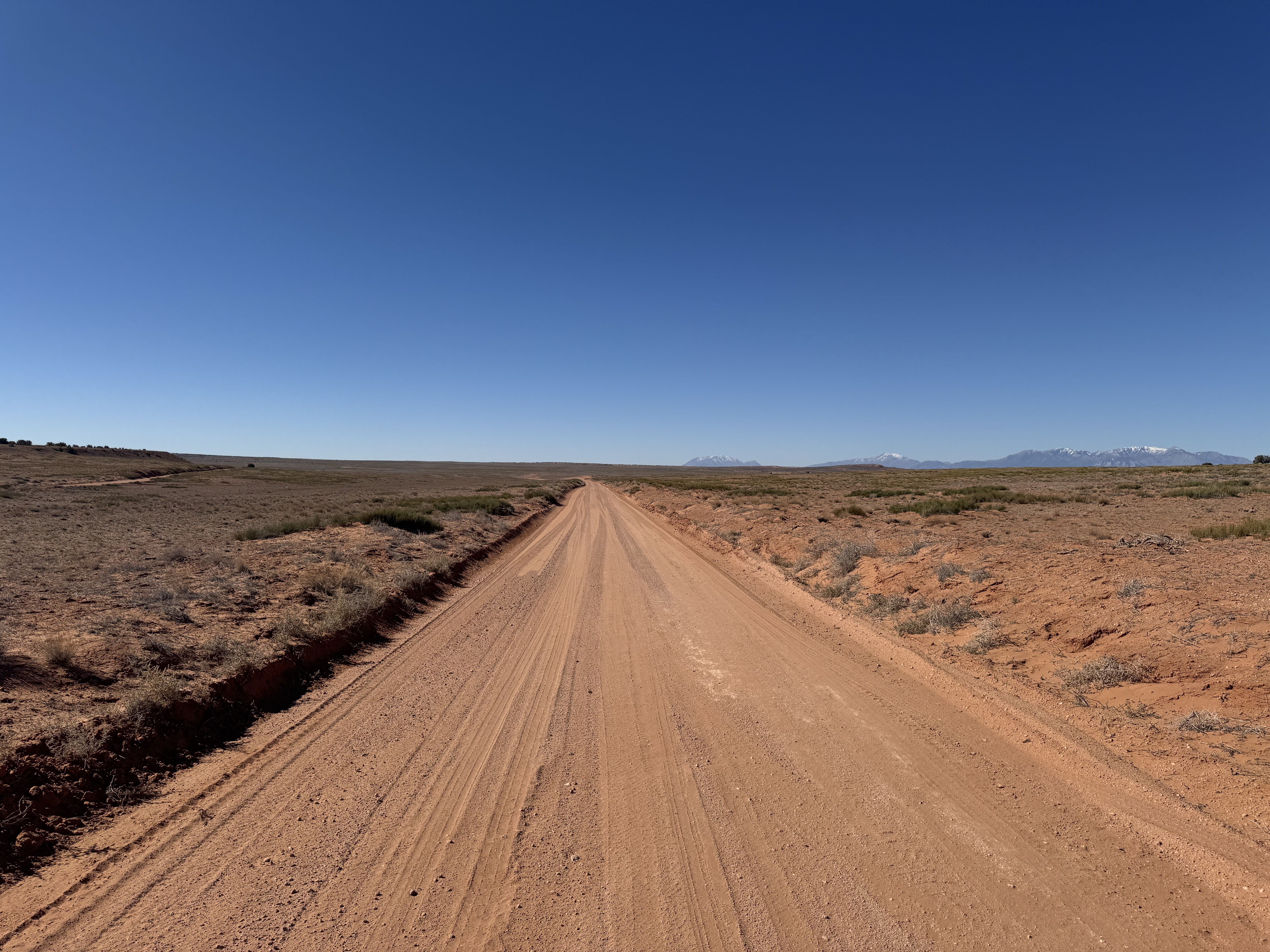
We flew over to checkout the viability of landing of the Ekker Ranch Road parallel to the strip and were surprised to see a grader parked at the intersection. The road had been very recently graded and was silky smooth. Be aware if you land on the road that the berms are pretty high, especially on the west side of the road nearest the intersection. Landing farther south they are shorter. The highest was probably a little less than 2' from my wing. I made contact with the road crew and we may get some improvements made to the strip and/or the parking area in the near future. The strip itself appeared to have a rut down the length of the strip but when we got on the ground we found that it is a cow trail an inch or two deep. Near the intersection there is roughly 500' of fairly smooth surface on either side of the cow trail. The surface was pretty firm throughout the length of the strip.
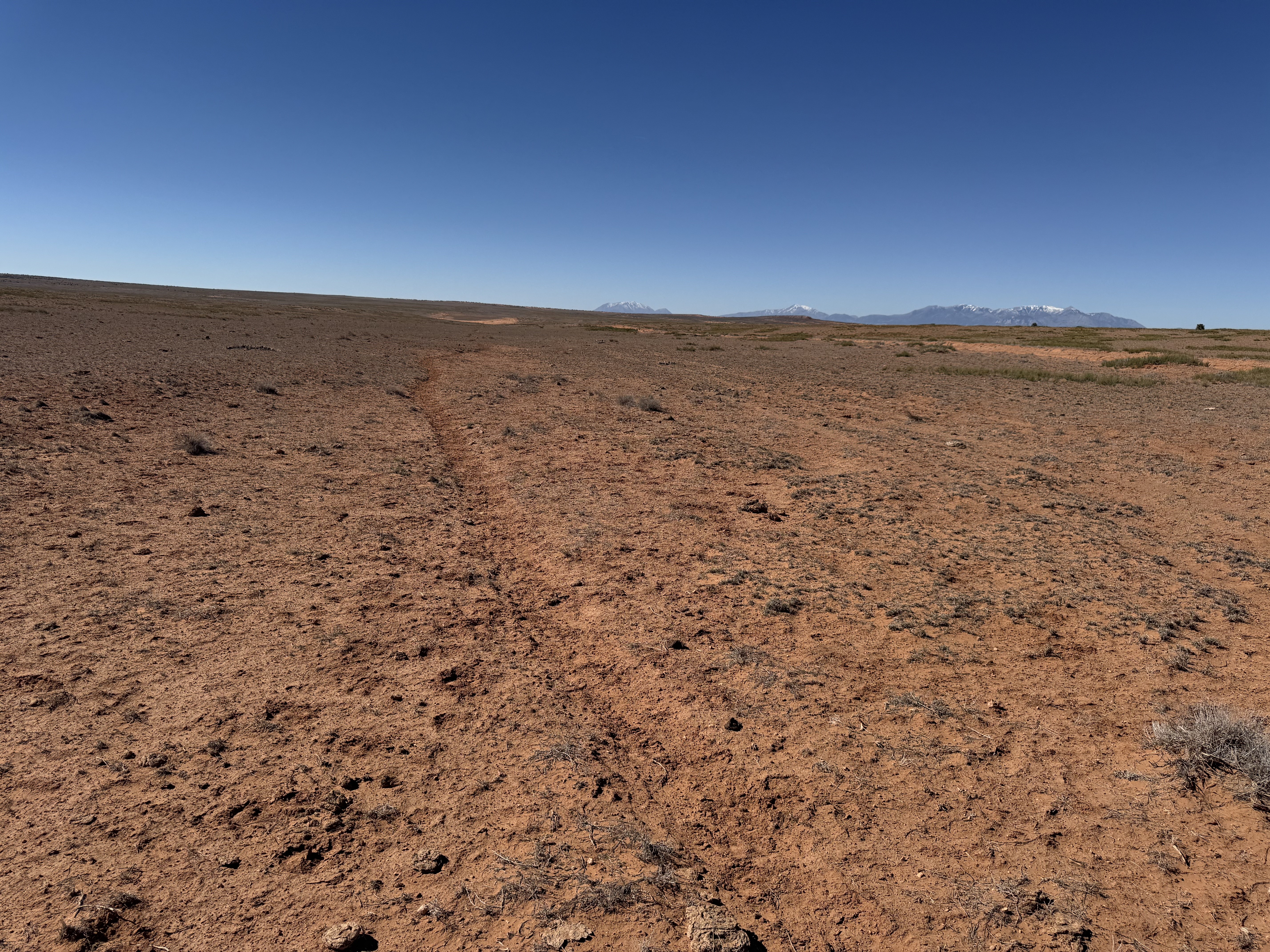
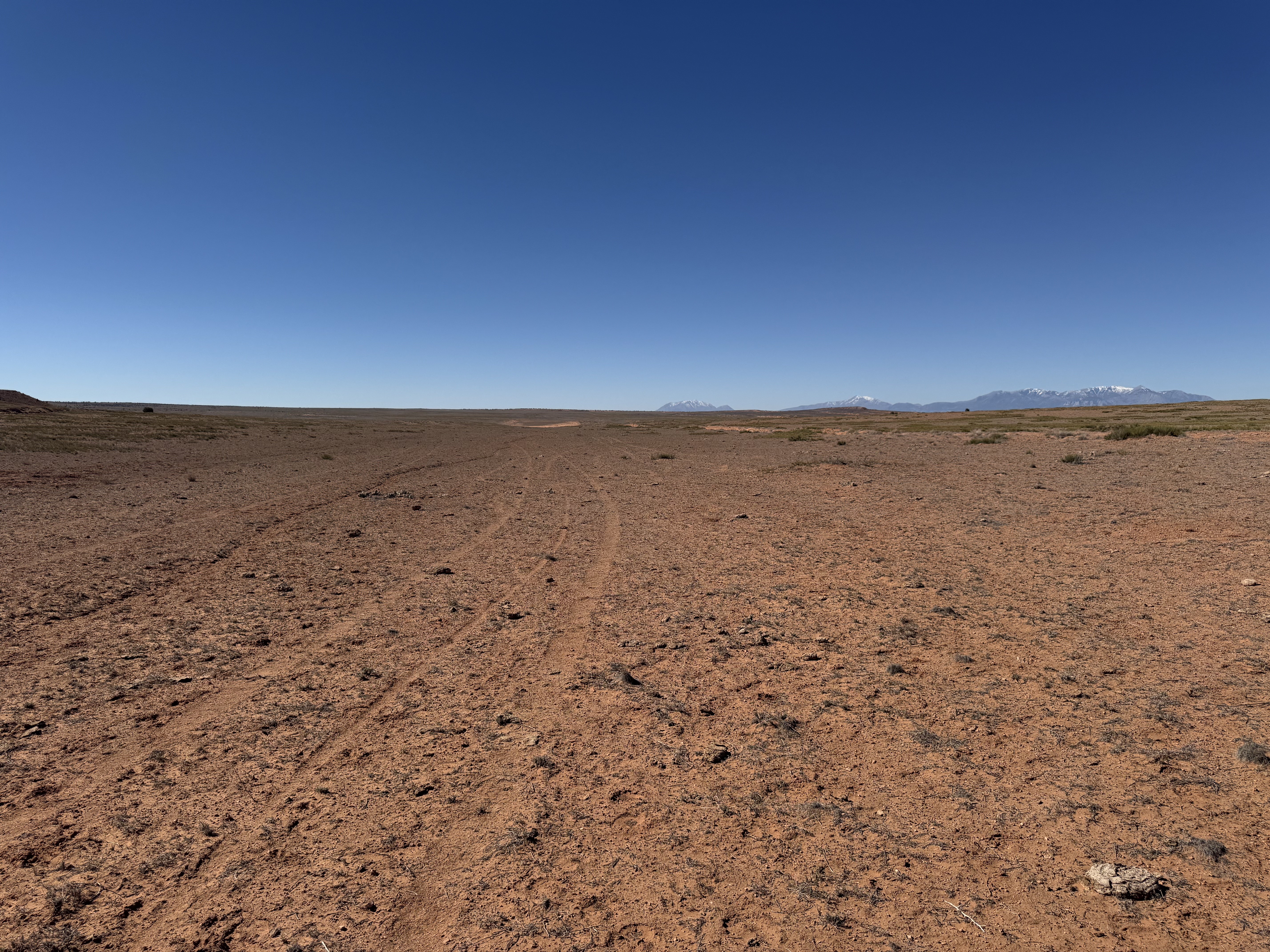
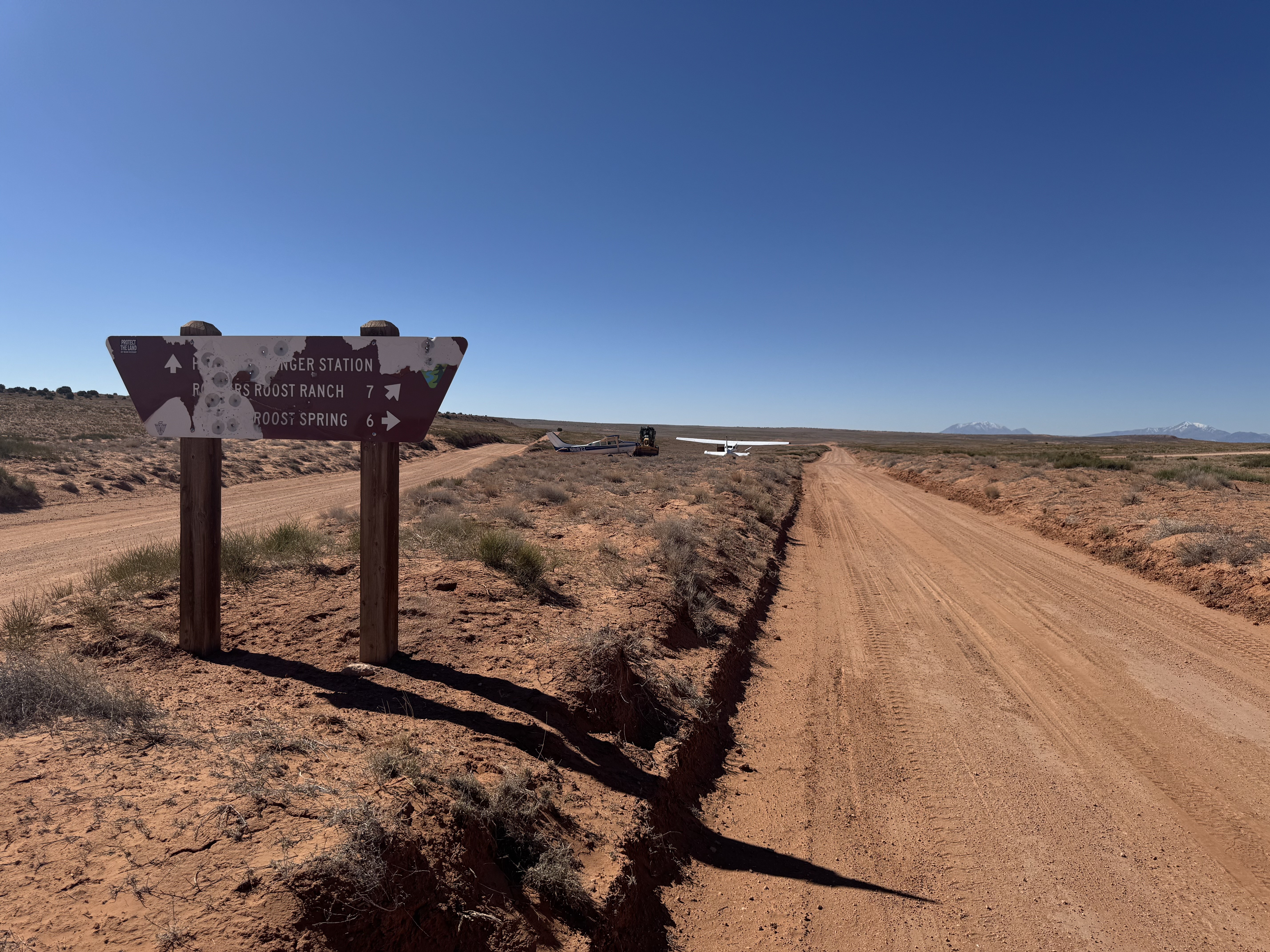
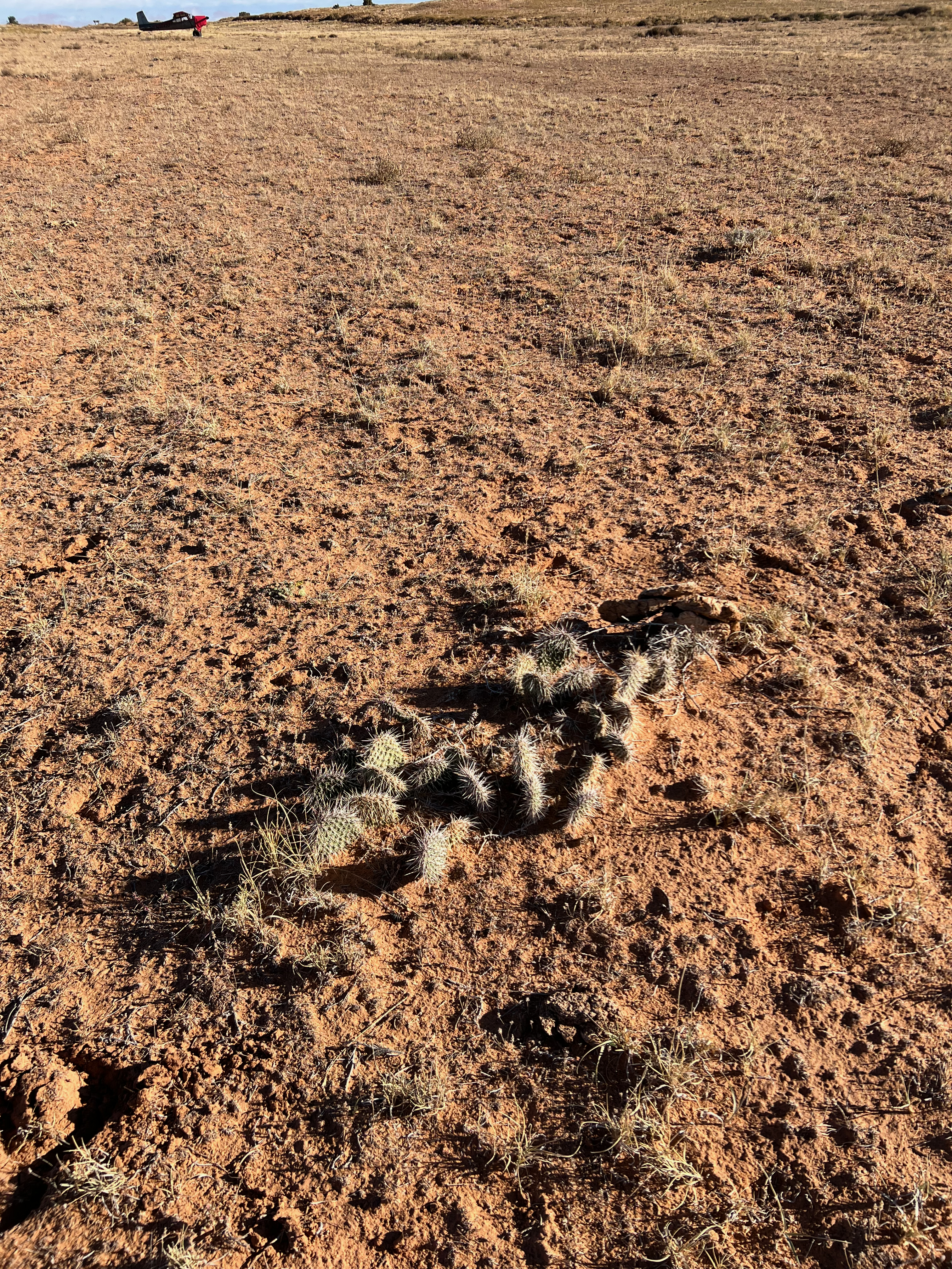
It's a bit rough due to vegetation, and there is a quite a bit of prickly pear. Pretty soft, but not bad for big tires. Some rain a couple of days earlier probably helped. There's really not much evidence that an airstrip ever existed here. But I almost ran over a thick metal rod hidden in some grass that appeared to be a former tie down, sticking about 4" above the surface. Removed it. You definitely want to stay between the road and the cattle trail, and the southern half looks better than the northern portion which is closer to the road convergence.
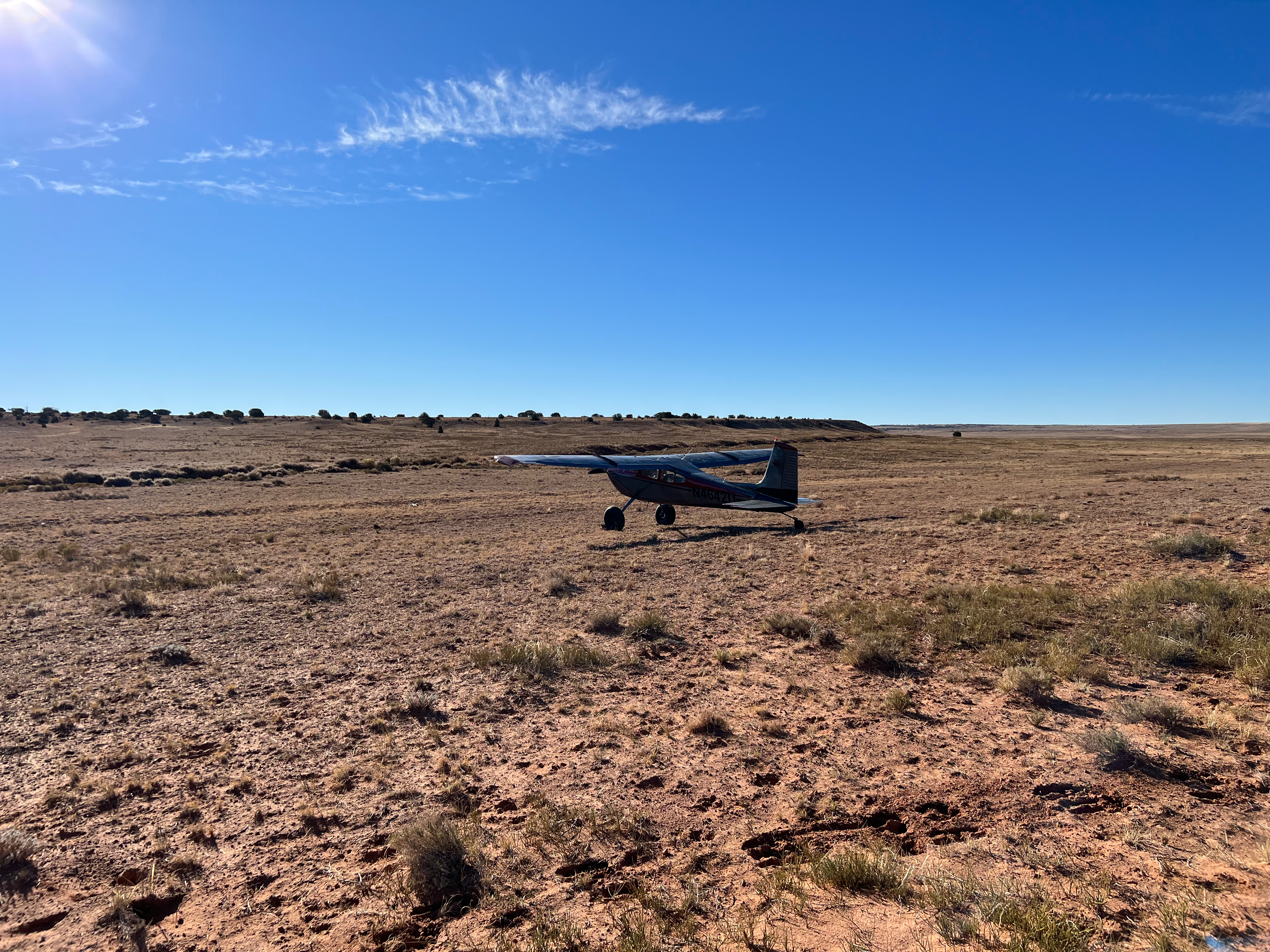
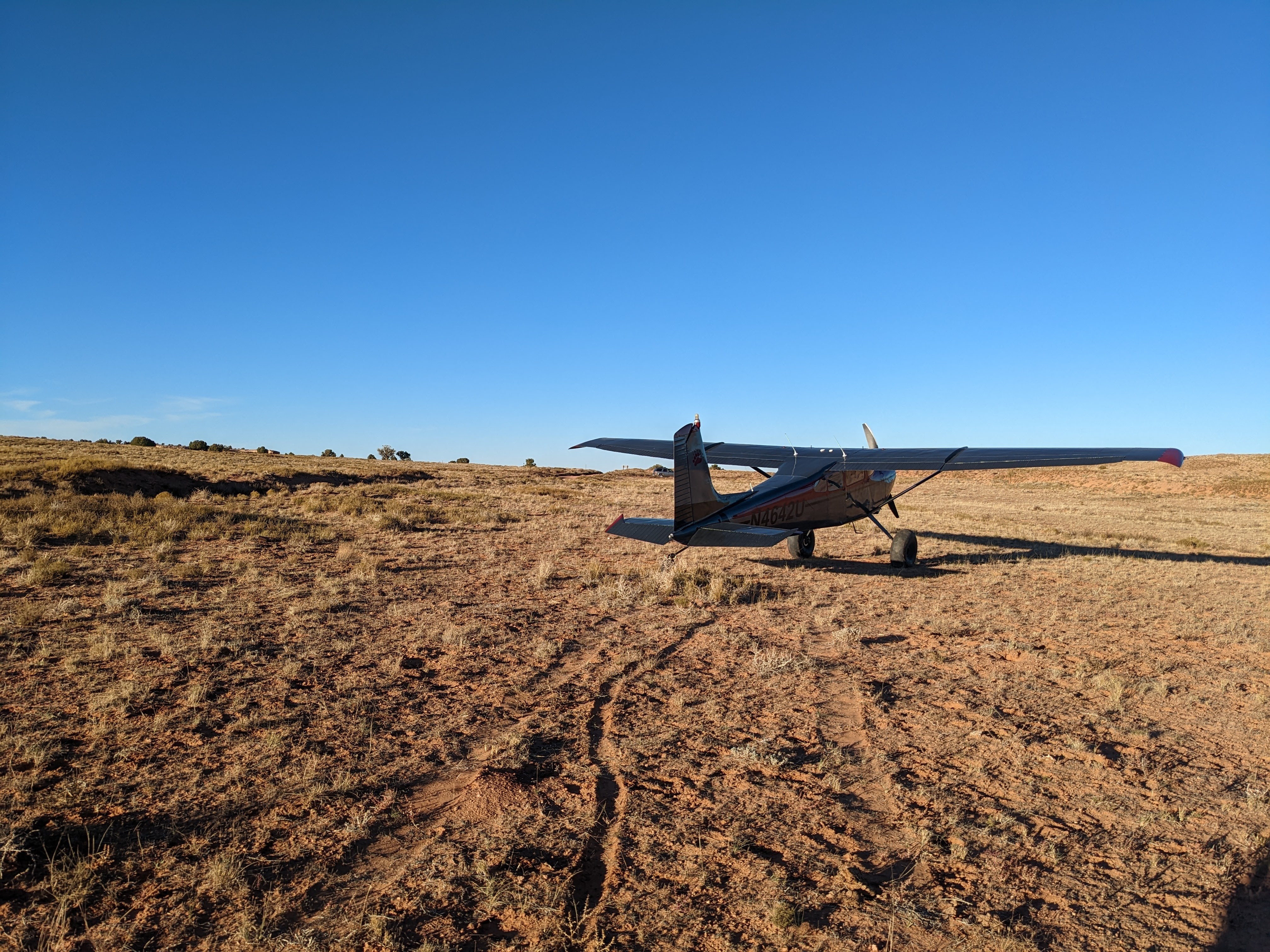
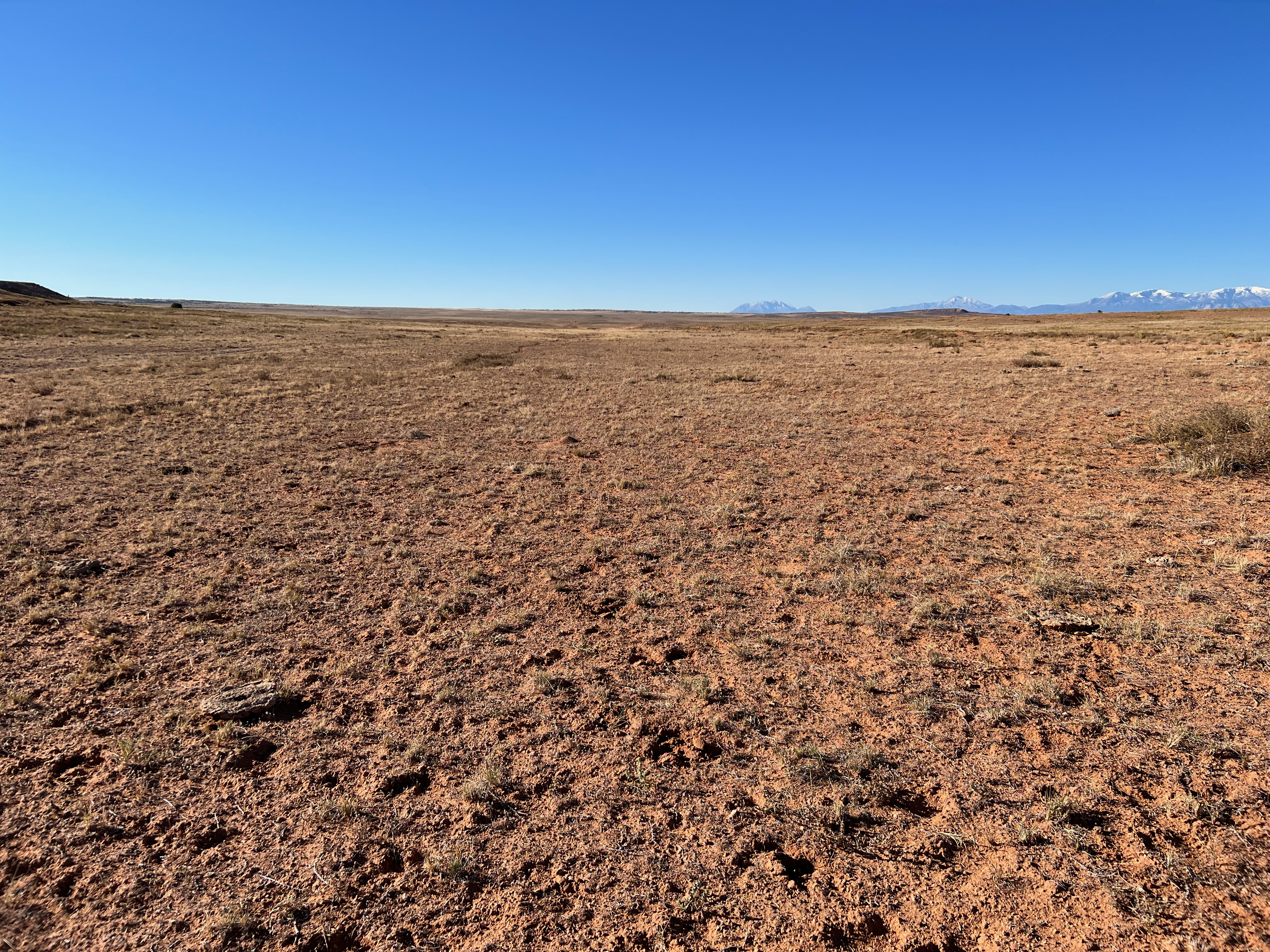
This is a super soft landing strip with some large overgrown areas of weeds. The sand bogs down the tired sand the weed clumps cause some major bumpiness. Parking only should be attempted at the north/east end as everywhere else is extremely soft and you won’t get going at all. I had a friend pull me out of the sand because I stopped too soon. Long runway to the south which you will need cause you can’t gain any speed in the sand. Had to do a full power start from the parking area and still used 4000 feet of runway. Beautiful area and camping area is just over the hill, with Blue John canyon hike easily accessible, so it is an awesome place to have a strip. I don’t know what improvements can help the deep sand but something needs to help to make this strip safer. Maybe some water and keeping the cows off the strip would be a good start.

This airstrip provides good access to the Blue John Canyon. For detailed information, visit this website.
https://www.roadtripryan.com/go/t/utah/robbers-roost/blue-john-robbers-roost
The Sam's Mesa airstrip was recognized as a Road in the 2025 Henry Mountains and Fremont Gorge TMP given the designation WYBD0012 as OHV-OPEN. You can view this TMP by clicking here.