Airstrip Info
| Frequency | Unknown |
|---|---|
| Elevation | Unknown |
| Lat/Long |
38.1802, -110.3572 38° 10.812' , -110° 21.432' |
| Runway |
|
| Ownership | BLM |
Weather
See more at the National Weather Center
Information updated January 18, 2025 @ 8:58am
The Sam's Mesa airstrip is a primitive road that was recently recognized by the BLM as OHV-Open. Users of this airstrip should exercise caution for potential use by other OHVs.
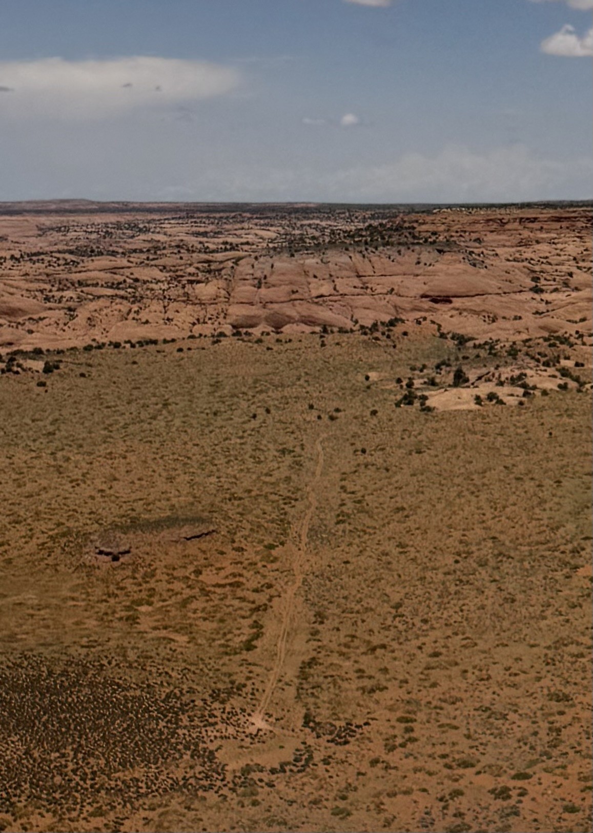
Did a flyby of Sam's Mesa N to S. The strip looks mostly overgrown and sandy with a slightly crooked two track running down it. Some work could probably get it usable for some bigger tire planes especially more towards the southern end. This is an amazing and remote area. Here is a video of it: https://photos.app.goo.gl/FLTw97PGdmCSecYMA
Sam’s Mesa is co-located on the BLM road that leads to Happy Canyon Overlook. There are ATV tracks that wiggle down the middle of the airstrip, probably indicating that the soil might be uneven or soft. This airstrip is mentioned as an airstrip in the Henry Mountains TMP and might be a good candidate to work with the BLM on a plan to make the airstrip more useable.
The Sam's Mesa airstrip was recognized as a Primitive Road in the 2025 Henry Mountains and Fremont Gorge TMP given the designation WYBD0361 as OHV-OPEN. You can view this TMP by clicking here.