Airstrip Info
| Frequency | 122.90 |
|---|---|
| Elevation | 6230 ft |
| Lat/Long |
39.7897, -109.2643 39° 47.382' , -109° 15.858' |
| Runway 15/33 |
1780 ft
Overgrown Dirt |
| Ownership | BLM |
Weather
See more at the National Weather Center
Information updated February 3, 2023 @ 10:47am
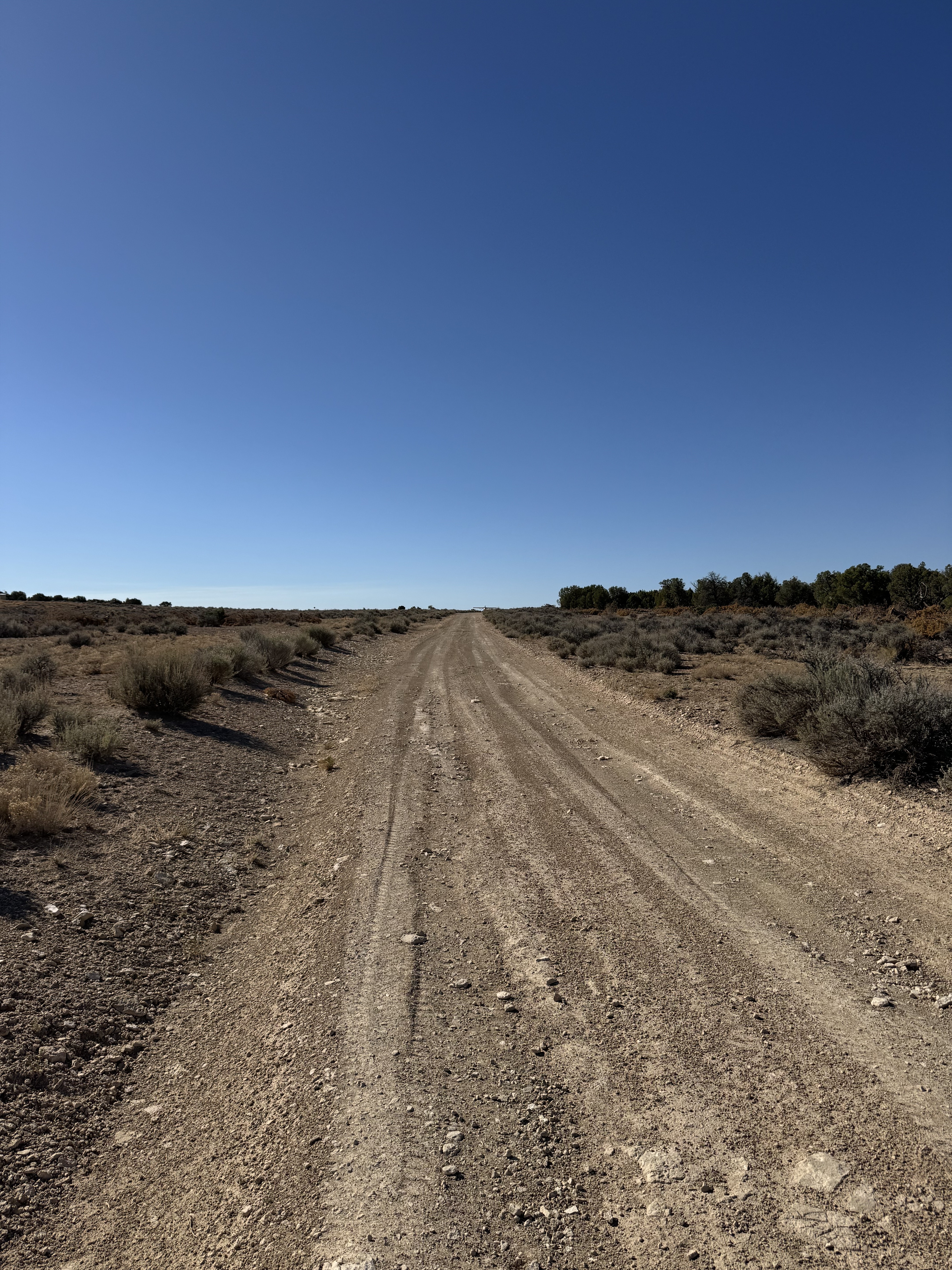
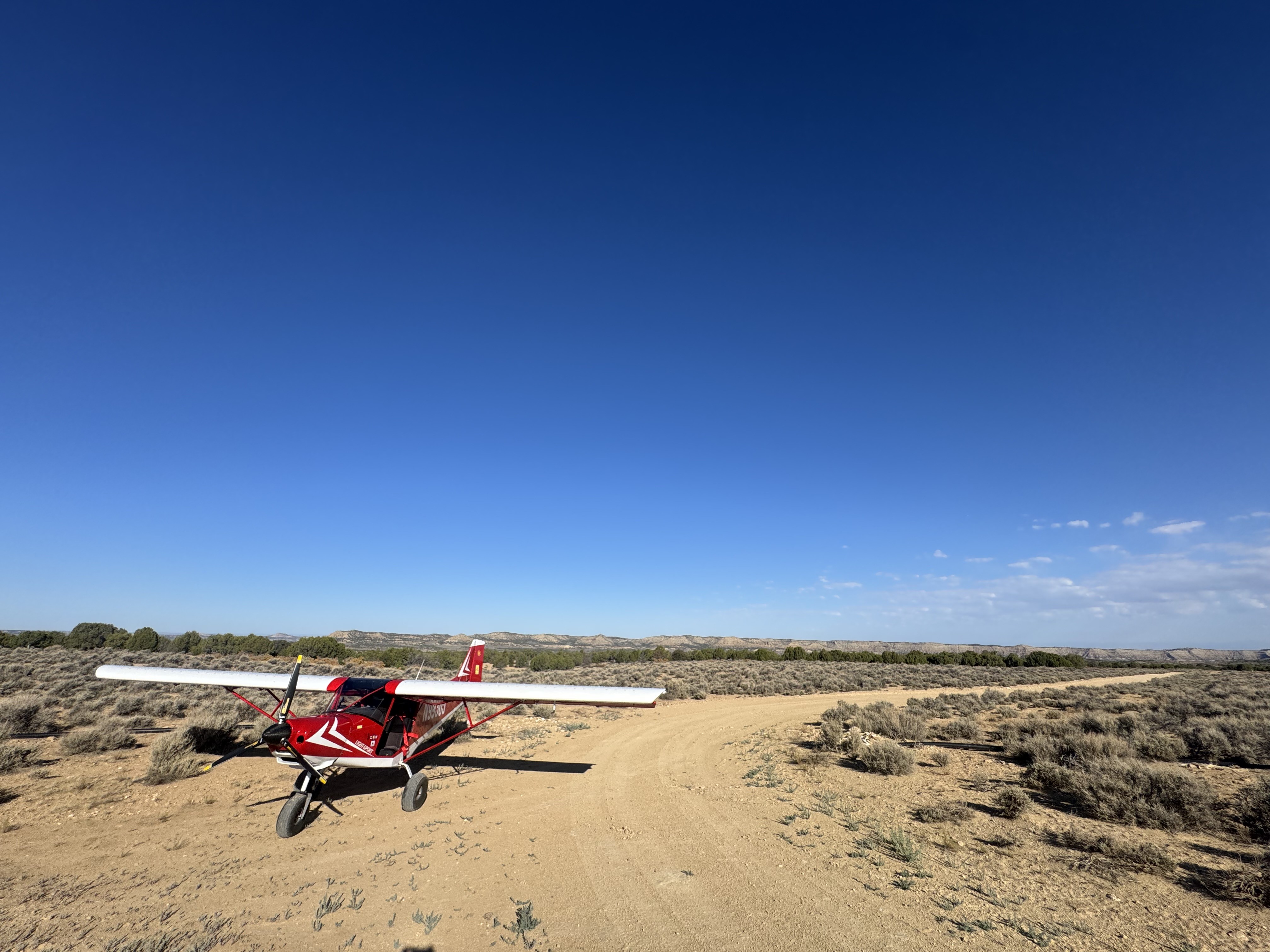
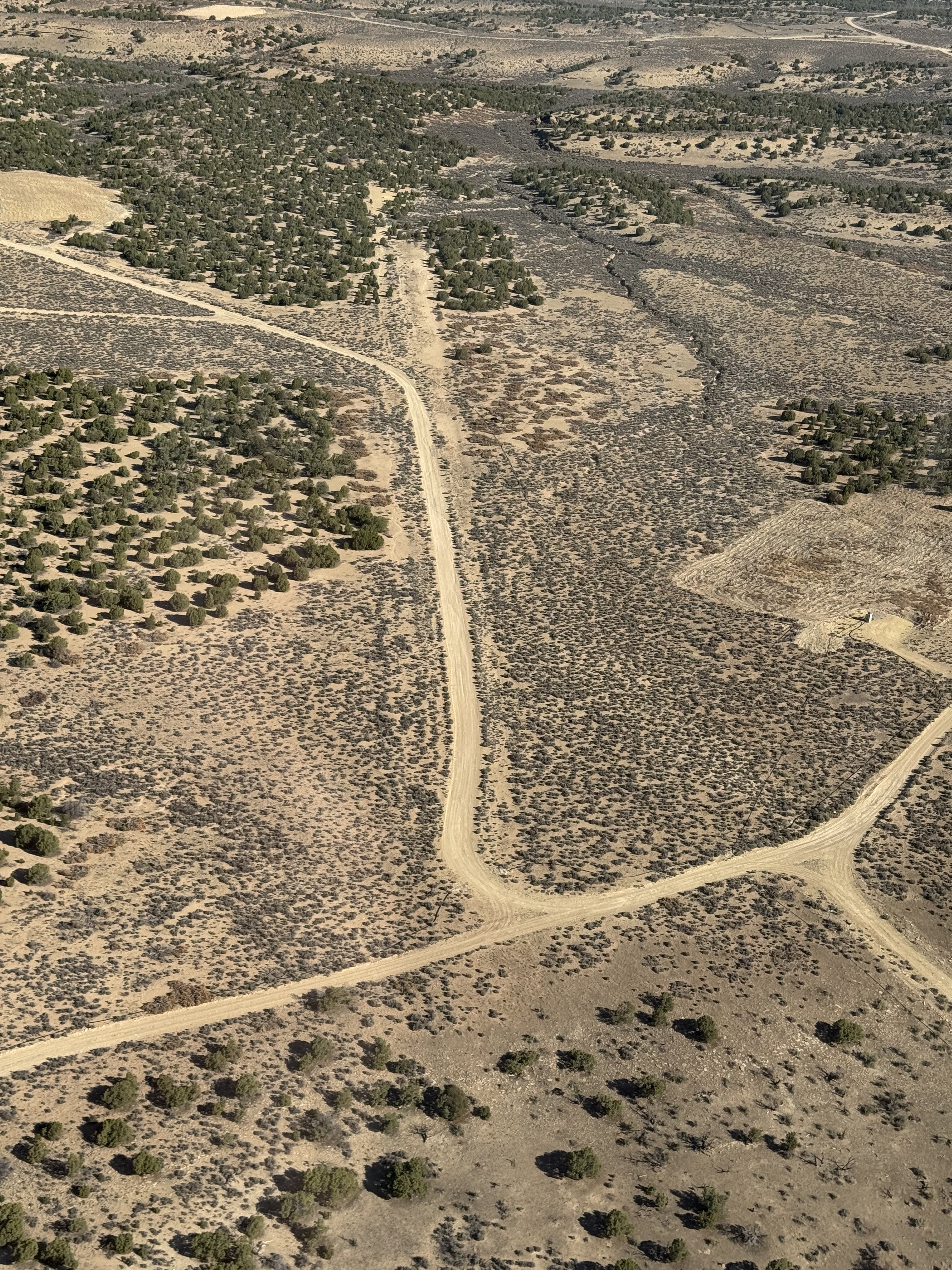
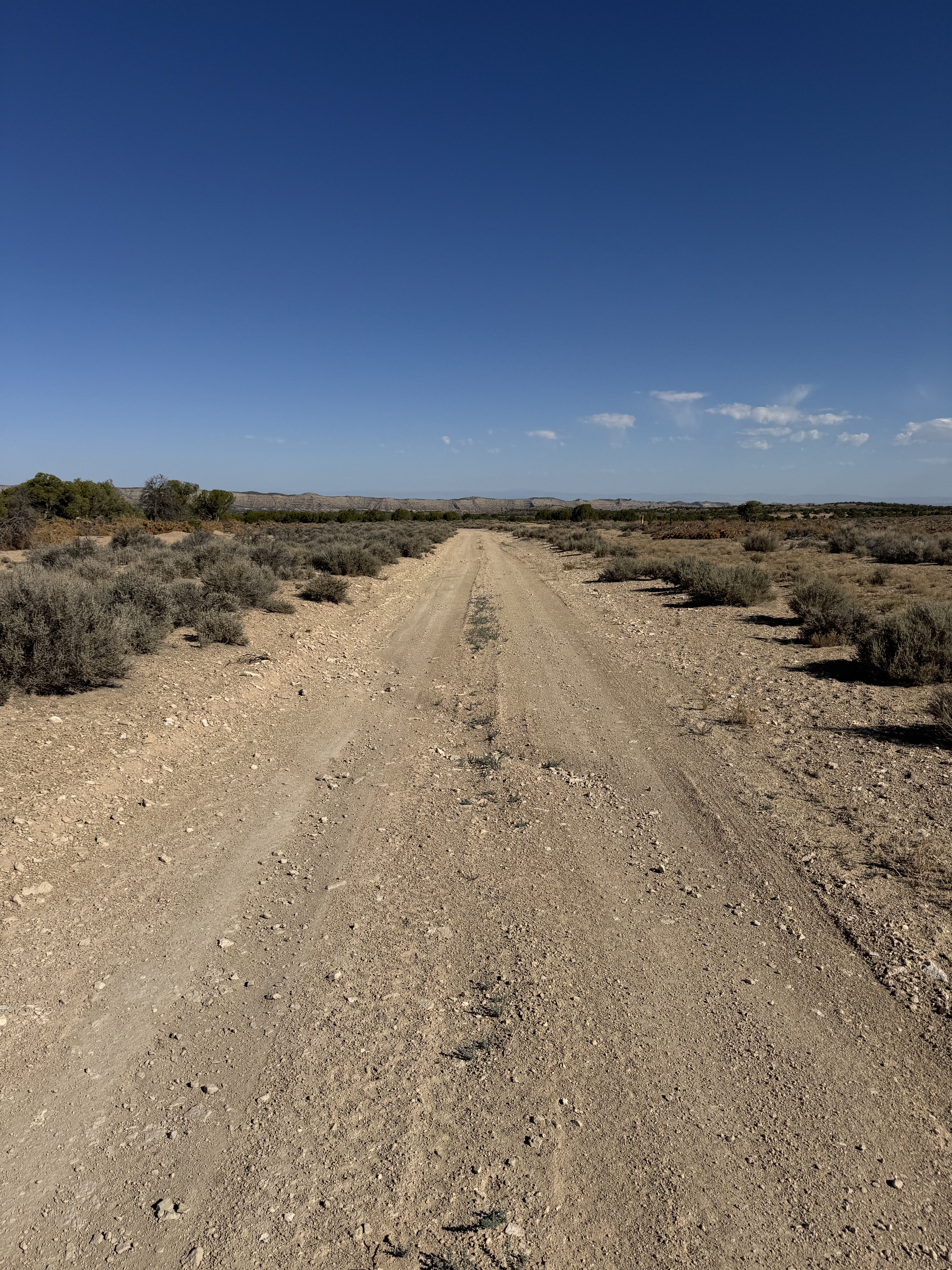
Most of the strip is visible but overgrown with roads down the middle. The road portion may be landable.
I landed to the south east, and took off to the northwest. That seemed like the best area. It looks like there might have been a cross wind strip at one time as well that also looked usable but still a dirt road. The landable part of the strip is a dirt rd and slopes slightly uphill to the southeast. It is in ok condition but somewhat narrow. There is a wash out that’s not too bad about 2/3 of the way headed to the northwest. The usable area is about 1000 to 1200 feet. The parts of the runway that are not the road are overgrown with sage. There’s also a pipe across the northwest section in that overgrown area. It is a fun one!

We haven't written a history for this airstrip yet. If you would like to provide us with some information about this strip, please contact us today!