Write an Airstrip Report
Airstrip Info
| Frequency | 122.90 |
|---|---|
| Elevation | 4897 ft |
| Lat/Long |
38.6397, -109.9692 38° 38.382' , -109° 58.152' |
| Runway 10/28 |
1540 ft
Dirt with vegetation overgrowth |
| Ownership | BLM |
Weather
See more at the National Weather Center
Backcountry airstrips are inherently dangerous. It is the sole responsibility of the Pilot in Command to ascertain airstrip conditions prior to use. Be certain to consider environmental, aircraft, and personal factors when determining suitability.
Use of the airstrips is at the sole discretion of the Pilot in Command. Fly safe!
Information updated May 23, 2025 @ 12:14pm
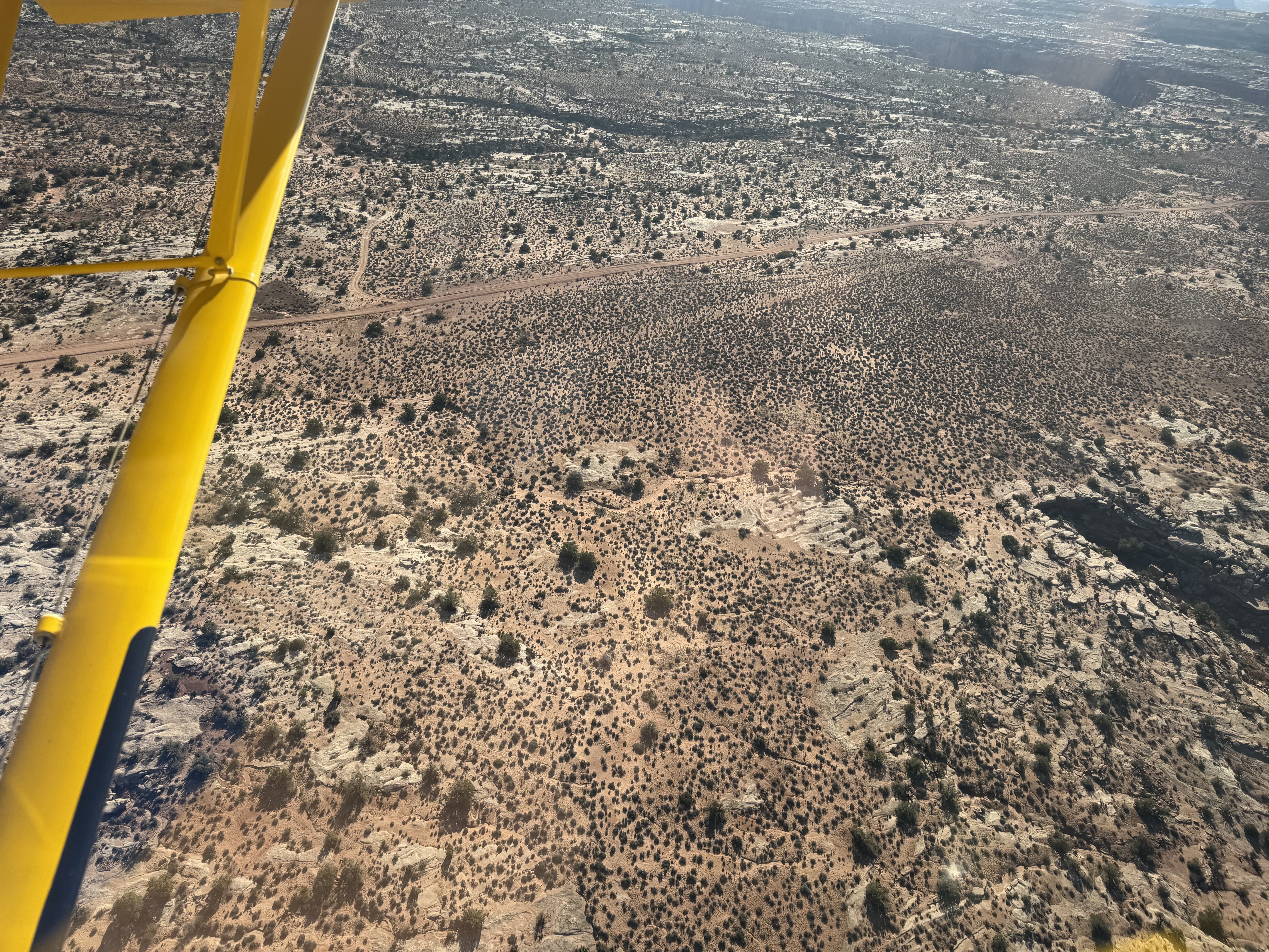
Airstrip is visible. Overgrown.
2-mile hike to Green River that overlooks Bowknot Bend and the Labyrinth Canyon Wilderness Area (on the other side of the river)
Spring Canyon is only a half mile away to the west
No recreational activities for Spring Canyon yet! Add one now!
Make your Flight Plan at SkyVector.com
We haven't written a history for this airstrip yet. If you would like to provide us with some information about this strip, please contact us today!