Airstrip Info
| Frequency | 122.90 |
|---|---|
| Elevation | 7620 ft |
| Lat/Long |
39.7773, -110.3182 39° 46.638' , -110° 19.092' |
| Runway 8/26 |
5260 ft
Dirt |
| Ownership | BLM |
Weather
See more at the National Weather Center
Information updated February 4, 2023 @ 1:32pm
Visible but pretty overgrown. Road runs along the edge of some of it and crosses the strip midway. Would need quite a bit of work but does have road access.
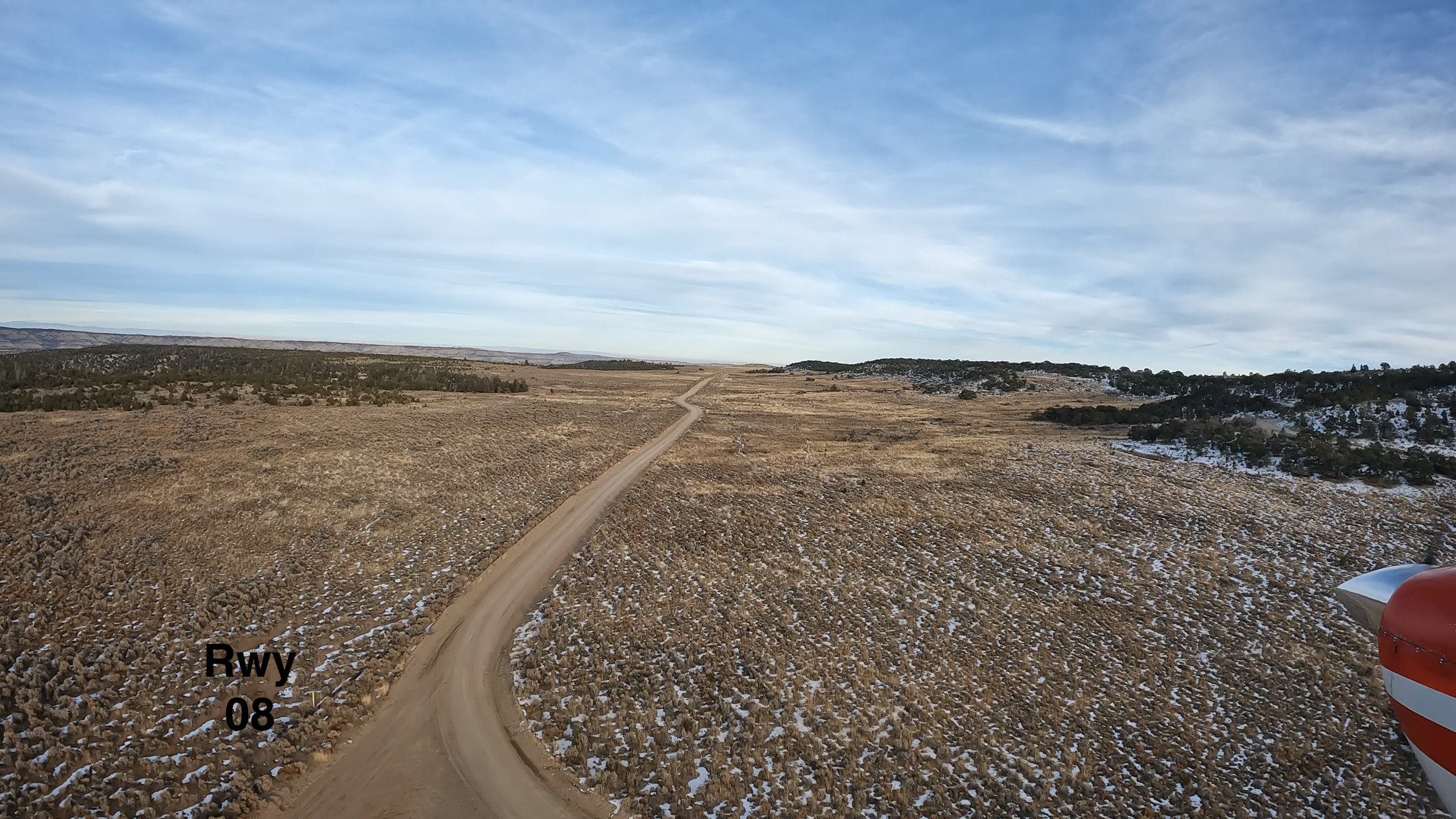
Flew over a couple times, couldn’t see anything more than a dirt road that looked to have a solid smooth surface, but was narrow with potential for wing strike on the north side. Probably would work for someone with a better plane, better skills, and bigger cajones but I passed and probably won’t be back until I see some other info.

We haven't written a history for this airstrip yet. If you would like to provide us with some information about this strip, please contact us today!