Airstrip Info
| Frequency | 122.90 |
|---|---|
| Elevation | 5626 ft |
| Lat/Long |
40.8895, -109.1716 40° 53.37' , -109° 10.2967' |
| Runway 7/25 |
4290 ft
Dirt |
| Ownership | BLM |
Weather
See more at the National Weather Center
Information updated May 21, 2026 @ 10:18am
NOTAM: The Taylor Flat Airstrip is open for private, non-commercial, recreational use. The east end of the airstrip is marked with a pile of white rocks at least 6 inches in height that delineates the landing surface from the sensitive area to the east. Pilots who may land long to the east are to avoid this marking as it is not designed for aircraft to traverse. Use at your own risk. Motorized vehicles are not allowed to drive on the runway - the airstrip is limited to aviation use only.
Description: The Taylor Flat Airstrip
Runway: 2,500 ft long x 40 ft wide dirt runway. Potential overrun area to the east of the runway is not for aircraft use. Traversing past the white threshold markings will cause damage to aircraft. Use at own risk!
Approach Considerations: Power lines to the west of the airstrip unmarked. Avoid overflying community to the south and west of the airstrip.
Amenities: None.
Windsock: Yes
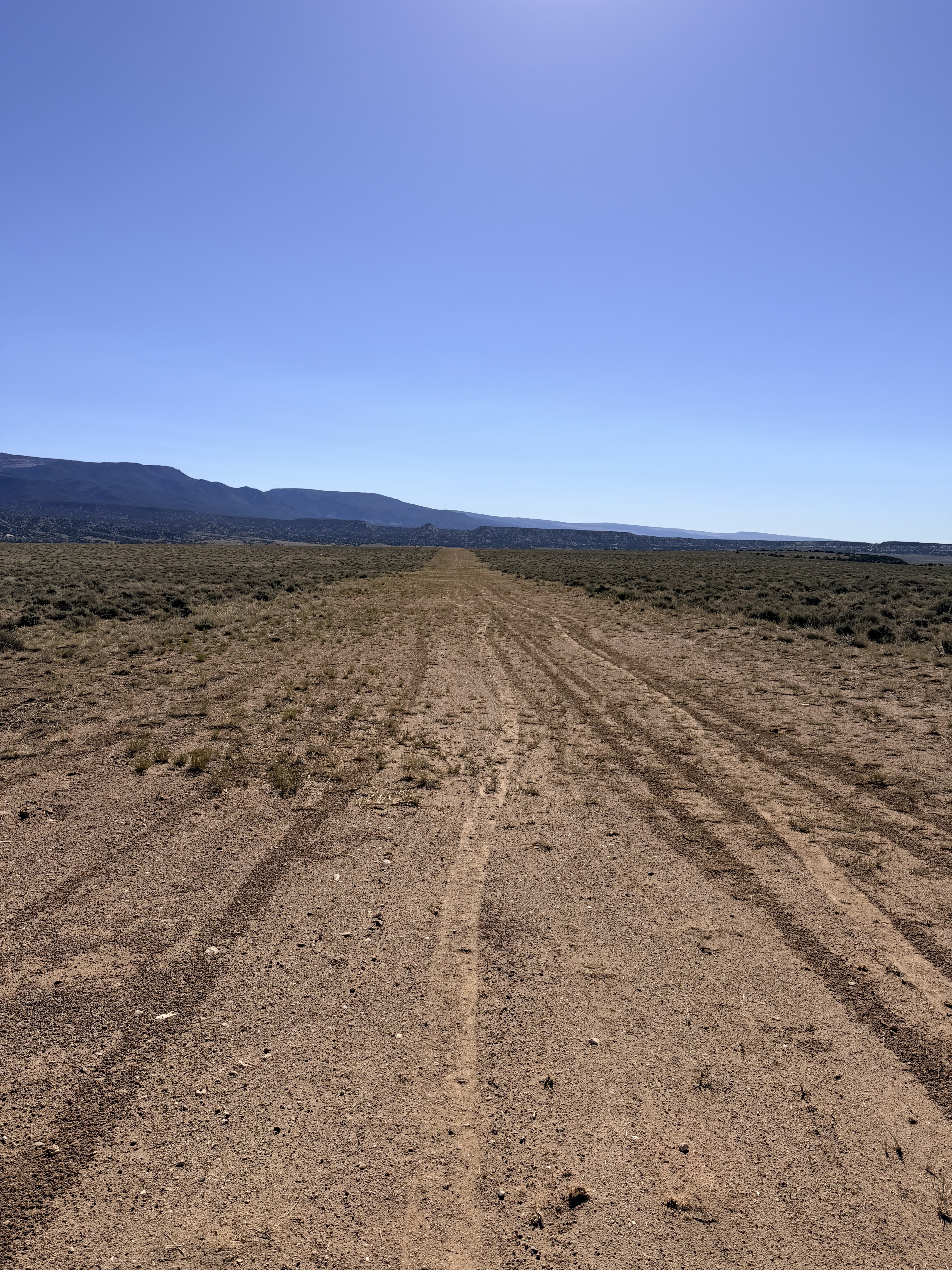
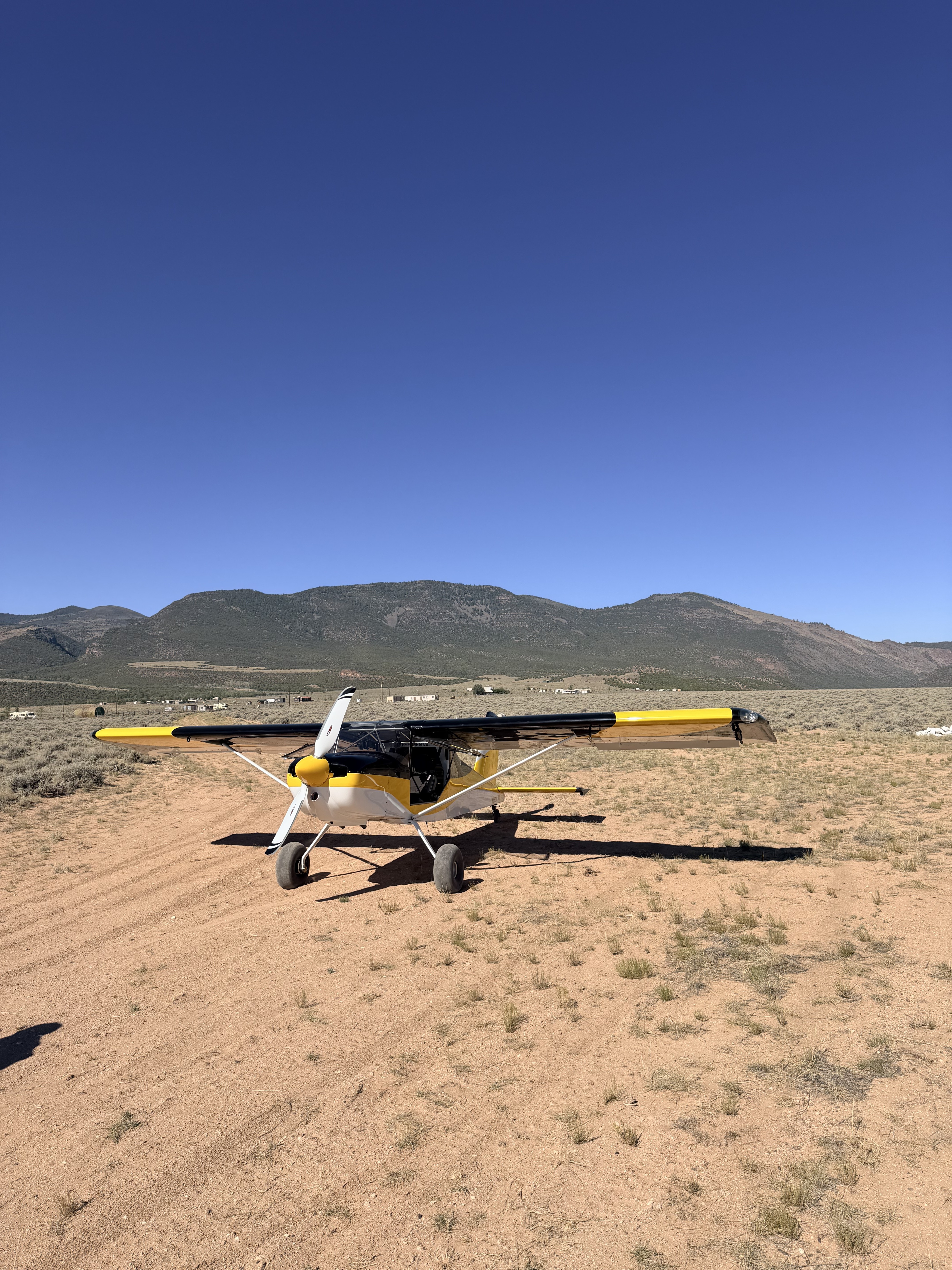


Landed at Taylor Flat this morning, the airstrip was just re-opened today. The airstrip is a little rough, but very doable. There are some low power lines to the west so watch out for them, with a normal approch they won't be a factor. Landing west should be the no wind choice and landing east the first part is down hill. I landed both directions and both directions were comfortable.


What started as an effort by the UBCP to restore the airstrip in the 90s became a 28 year hiatus that soon will allow the UBCP to restore the airstrip back to working condition.