Airstrip Info
| Frequency | 122.90 |
|---|---|
| Elevation | 7348 ft |
| Lat/Long |
39.5012, -109.5573 39° 30.072' , -109° 33.438' |
| Runway 18/36 |
3700 ft
x 35 ft
Dirt |
| Ownership | BLM |
Weather
See more at the National Weather Center
Information updated February 5, 2023 @ 9:10am
Another prime candidate for a work party and a windsock.
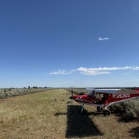
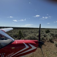
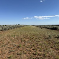
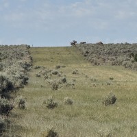
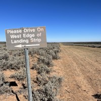
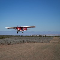
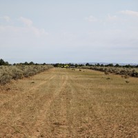
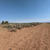
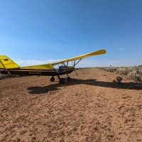
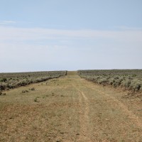
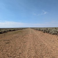
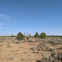
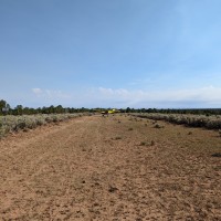
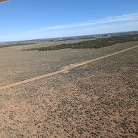
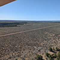
Runway slopes uphill to the south. The last 1/4 of the south end of the runway the slope is greater. Runway is better on the western side generally due to some vegetation along the eastern side. While we were there today we removed some sagebrush. We landed to the south and touched down a couple of hundred feet north of the weather station and the runway was great on the western side. There is not a windsock, but there is a weather station with a vane style anemometer on the top which can give you a sense of direction. A beautiful area. Here is a video of landing and back taxi: https://photos.app.goo.gl/7Bz9iygj1xTXfV6u7
Flew over and touched down in several spots along the runway but unfortunately did not have time to stop. This is a really neat strip and all in all seems in good shape. The places I touched were good and relatively smooth. There is some sage brush in the runway in a few spots but it can be avoided with care. Sage brush seemed more numerous on the east side of the runway. There is not a windsock, but there is a weather station with a vane style anemometer on the top which can give you a sense of direction. There were some wild horses nearby. Camping looked possible and best near the road on the south end. I will definitely go back soon.
We haven't written a history for this airstrip yet. If you would like to provide us with some information about this strip, please contact us today!
