Airstrip Info
| Frequency | 122.90 |
|---|---|
| Elevation | 5930 ft |
| Lat/Long |
37.4739, -109.7096 37° 28.434' , -109° 42.576' |
| Runway 9/27 |
1890 ft
Dirt |
| Ownership | BLM |
Weather
See more at the National Weather Center
We haven't written a description for this airstrip yet. If you would like to provide us with some information about this strip, please contact us today!
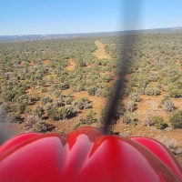
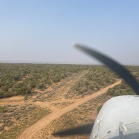
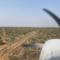
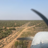
Low level overflight only. East half of strip has 2-track road leading out to canyon rim, could potentially be landed. I didn’t attempt and would worry about the depth of tire ruts likely present. West half of strip has lots of sage brush and other plant growth. Off the side and near the center of strip has an abandoned well head of some sort with a parking area for anyone capable of landing. Strip doesn’t appear to have been used in many many years and would need a lot of work to be suitable for most aircraft. All three pictures are looking east
Mule Canyon's airstrip has been identified on USGS maps since 1962. You can view this historic map below or download it by clicking here.


