Airstrip Info
| Frequency | 122.90 |
|---|---|
| Elevation | 7350 ft |
| Lat/Long |
39.6822, -109.1527 39° 40.932' , -109° 9.162' |
| Runway 04/22 |
2125 ft
x 30 ft
Dirt |
| Ownership | BLM |
Weather
See more at the National Weather Center
Information updated January 10, 2023 @ 4:20pm
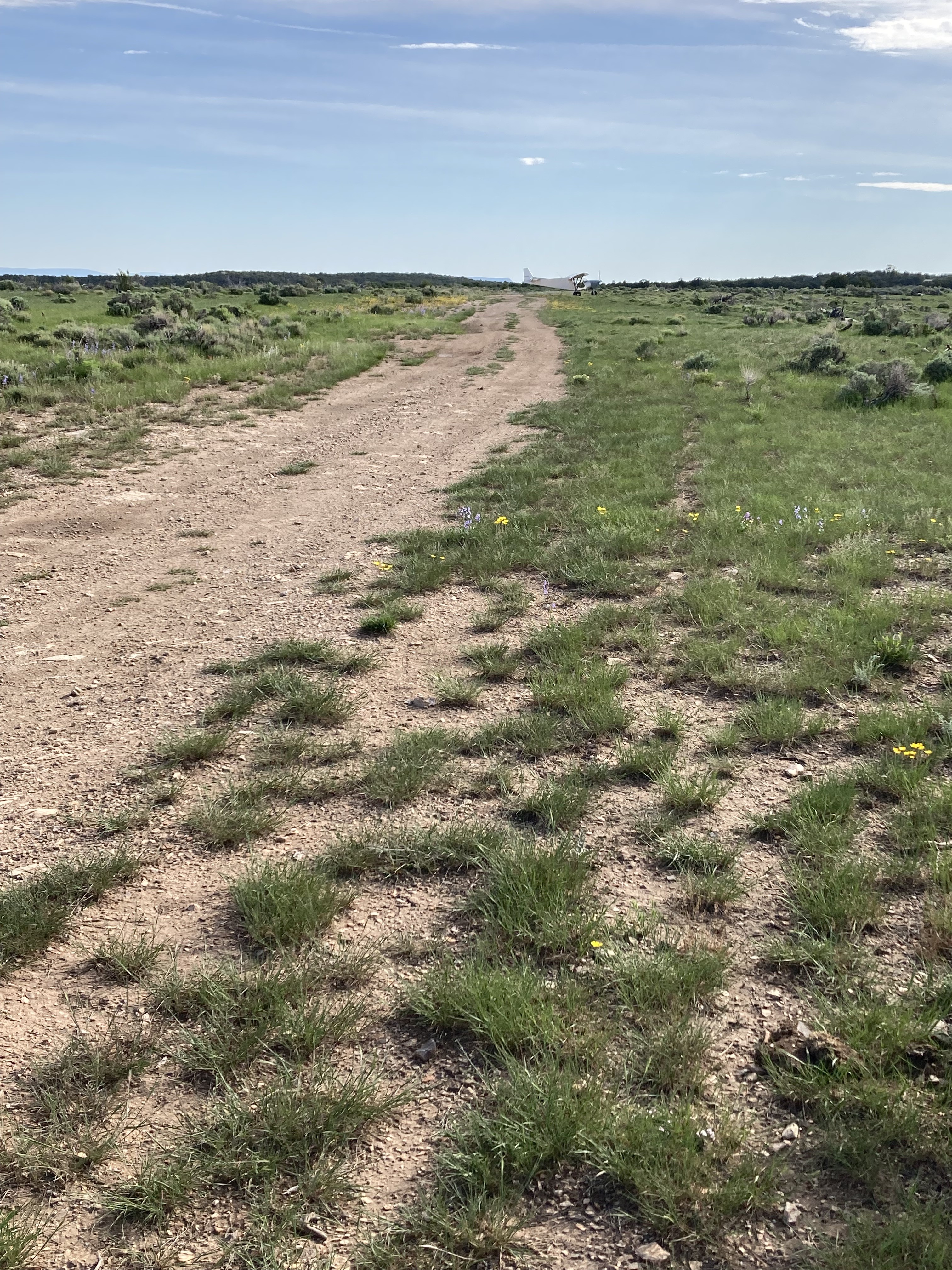
Old strip visible. Now part of a road. Looks possibly serviceable.
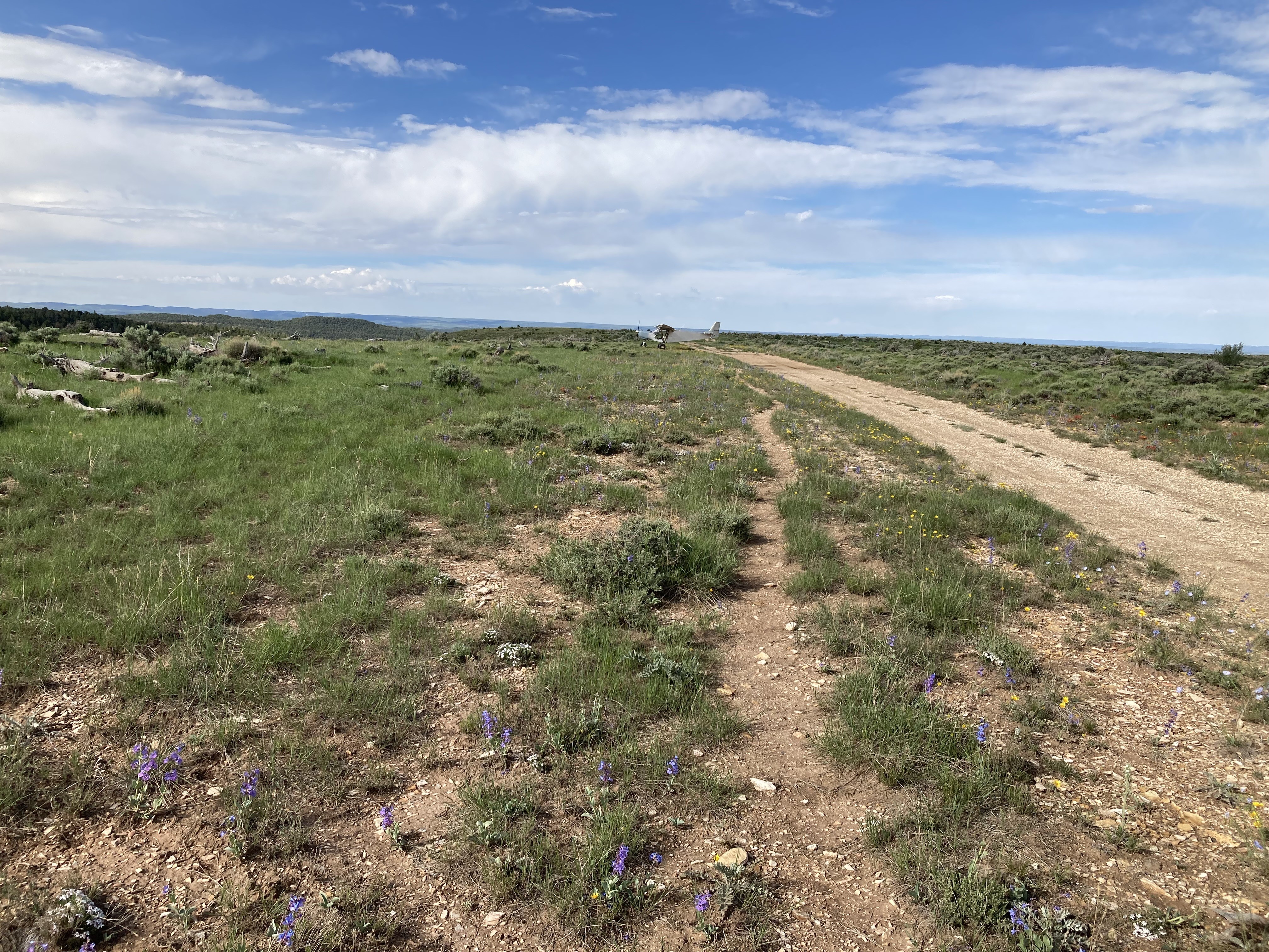
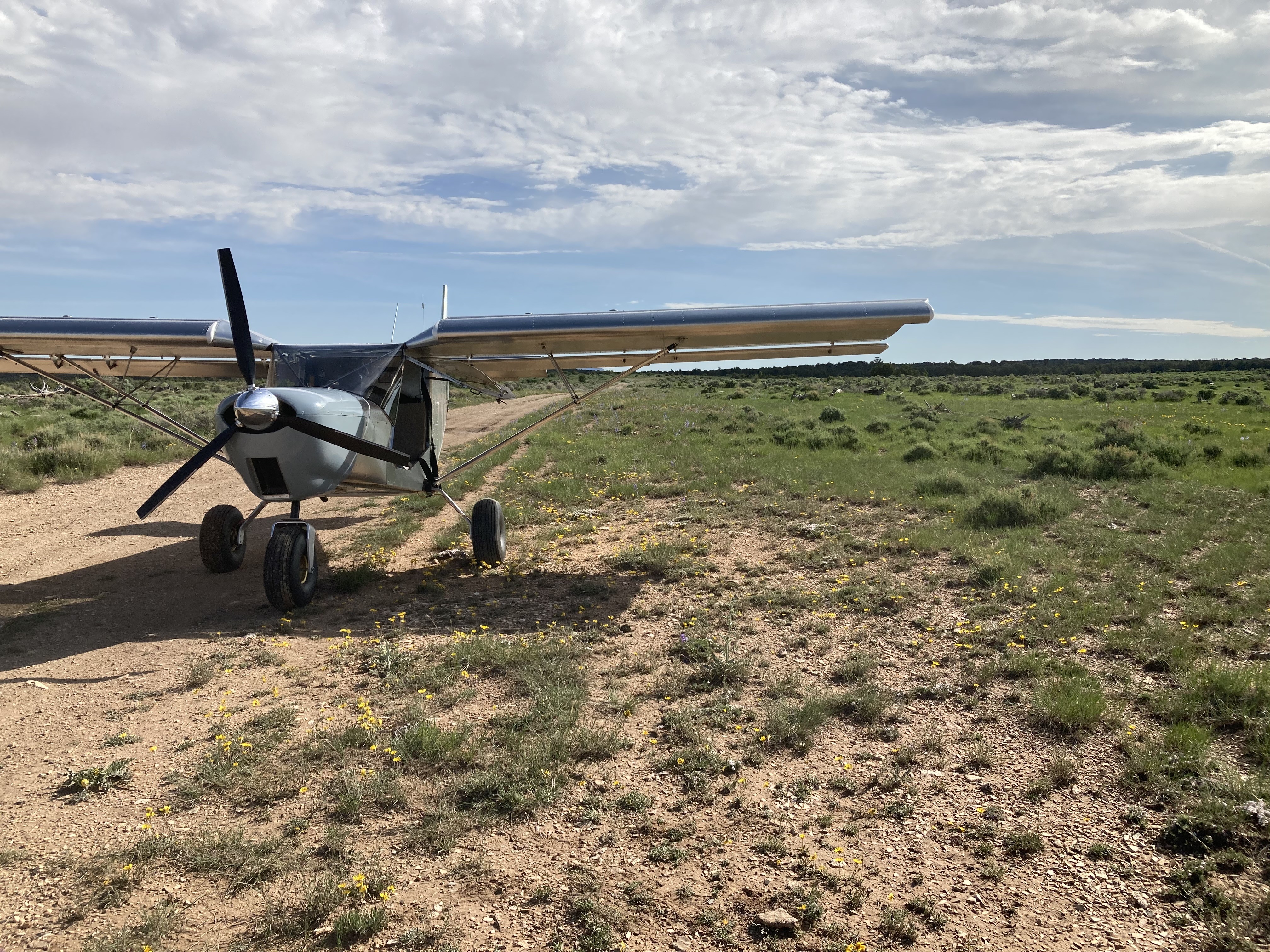
Landed Boulevard today. The previous report from Randy Owen still applies and is still accurate. Fun strip, in a really cool area I would like to come back and hike with more time. I would call this one more advanced of a backcountry strip because of the meandering two track and sagebrush and high density altitude.
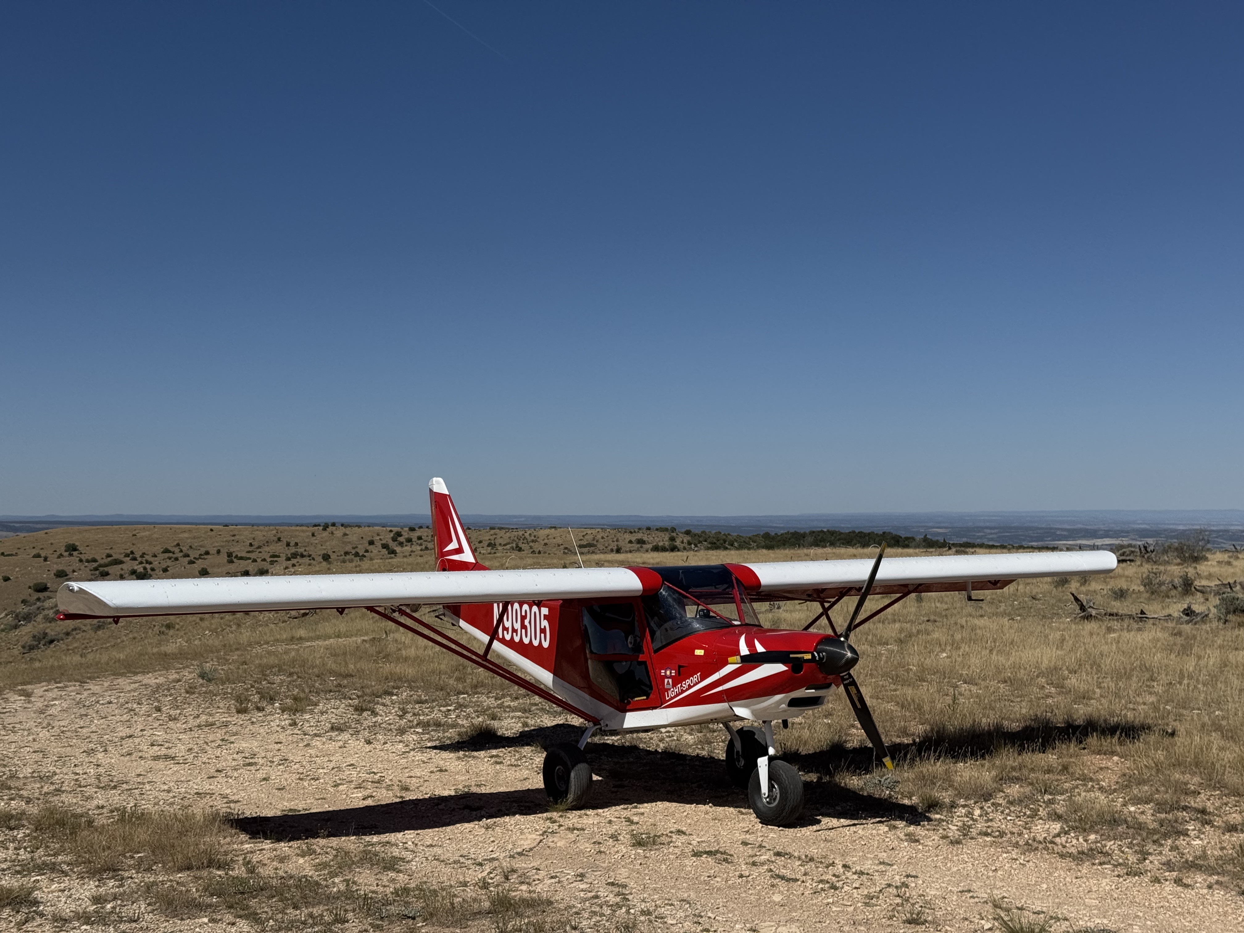
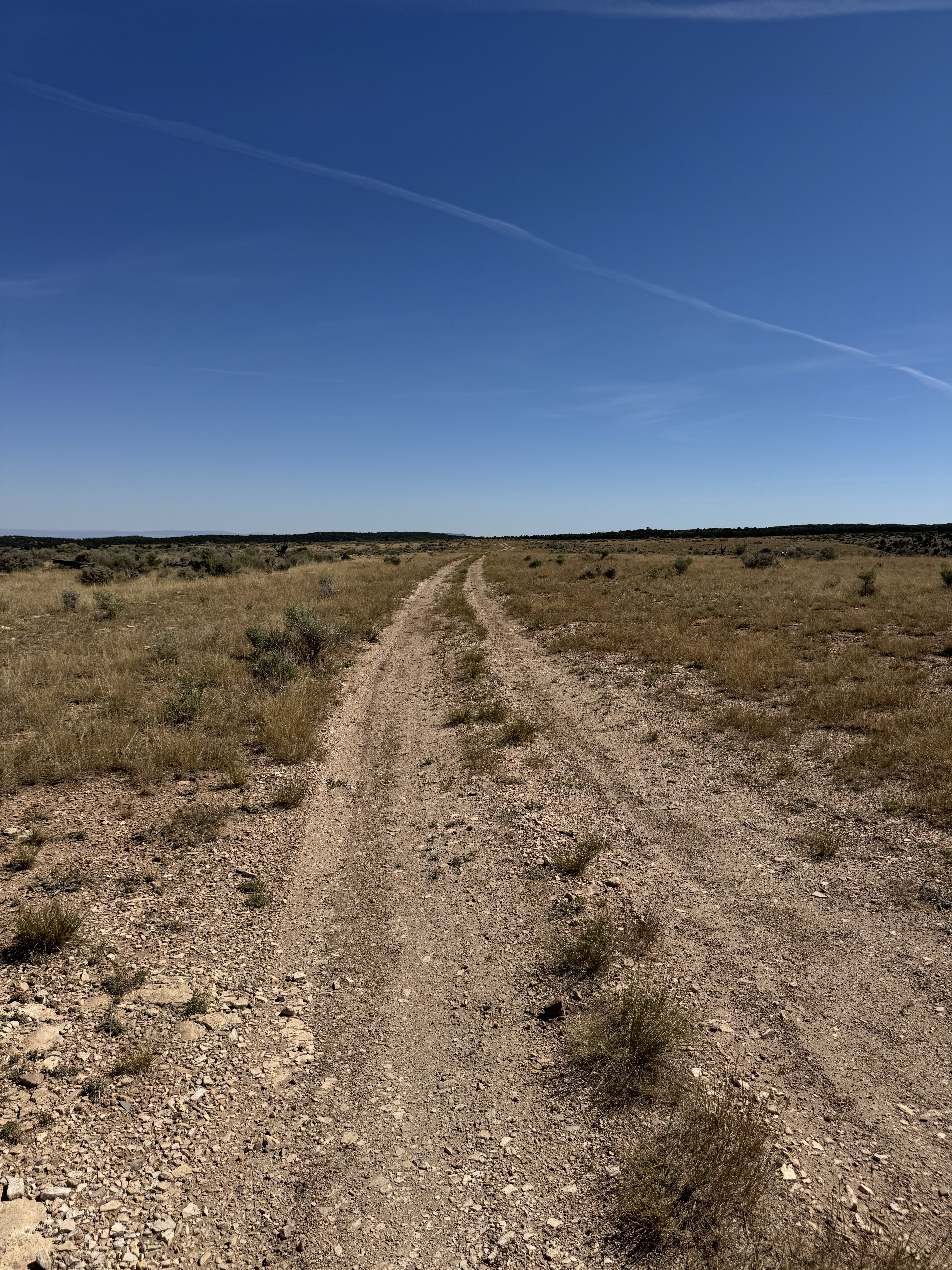
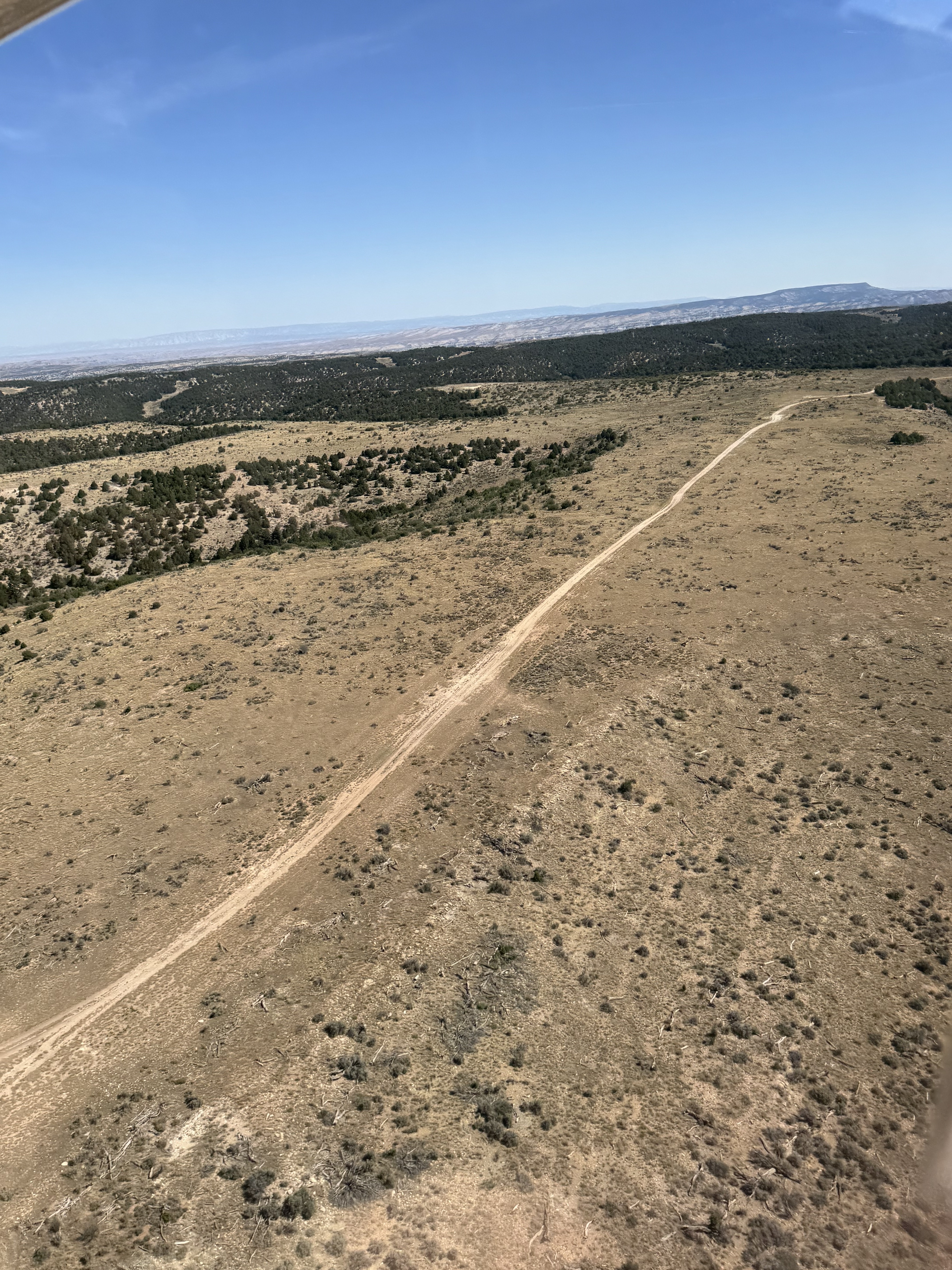
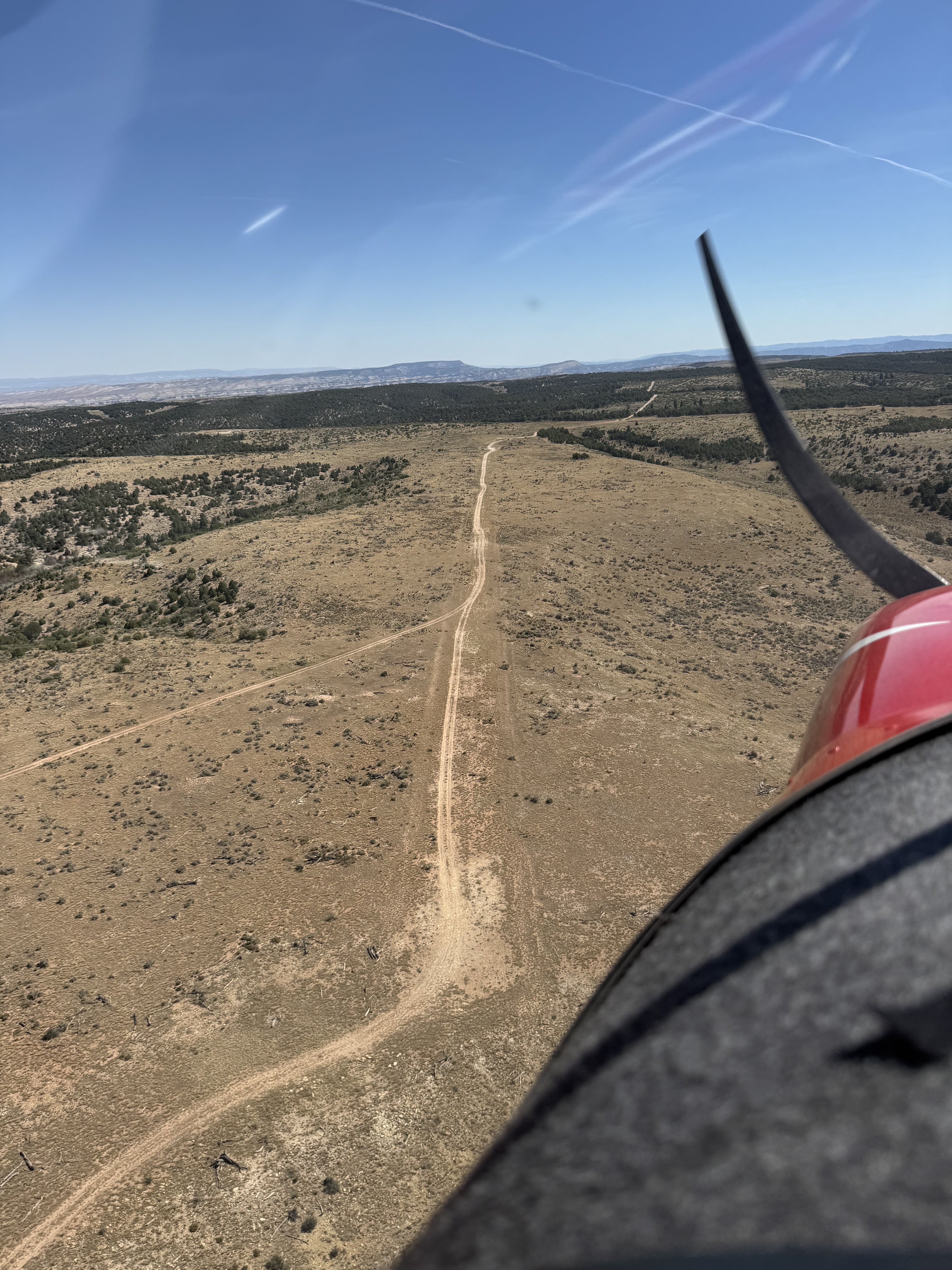
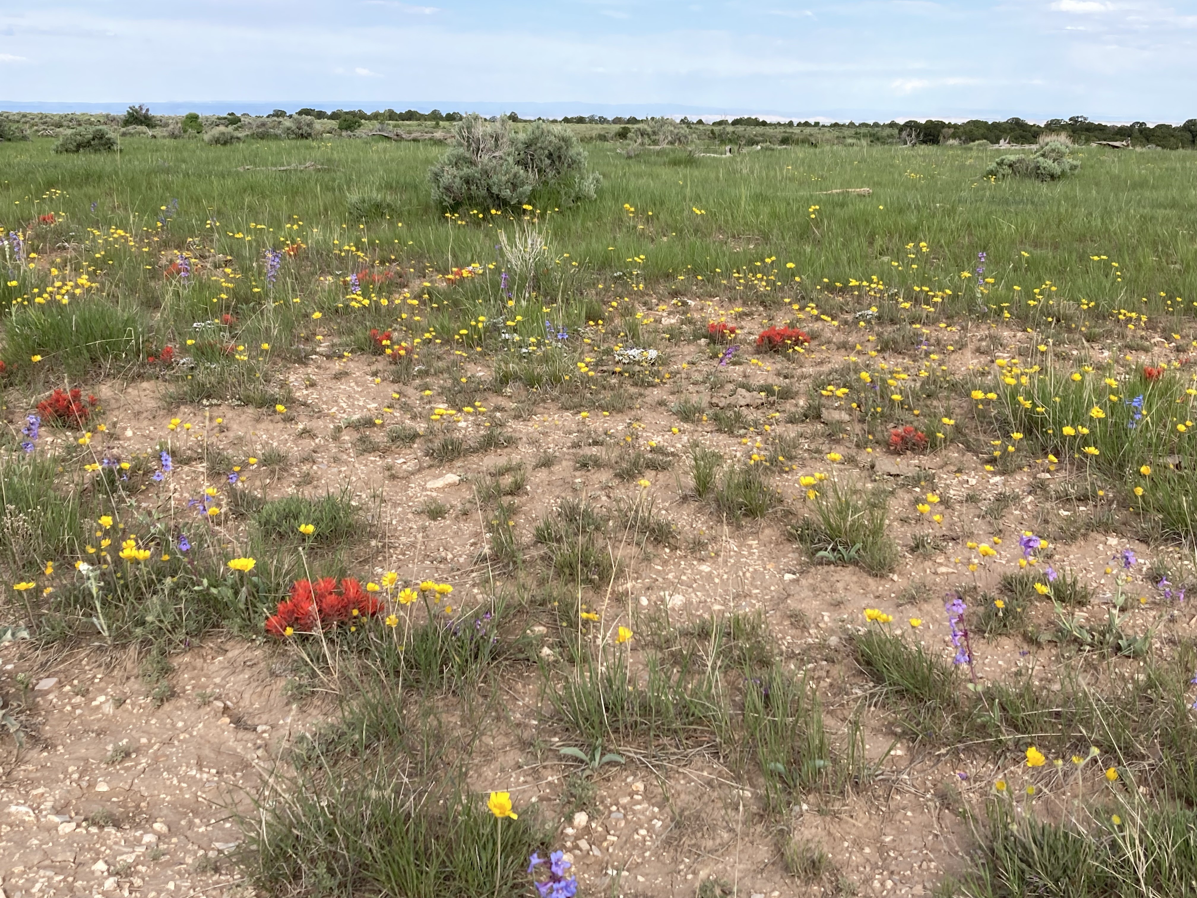
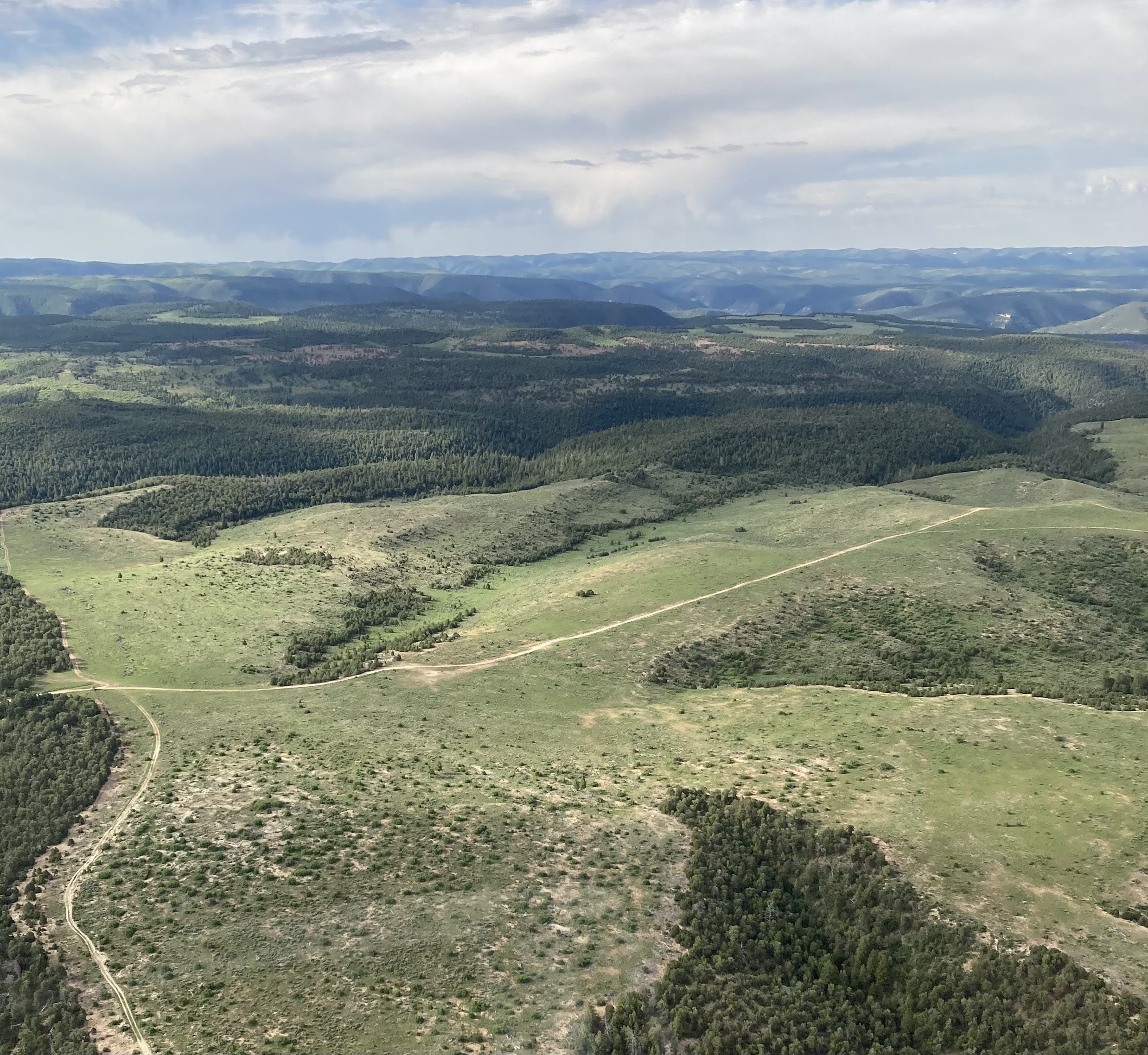
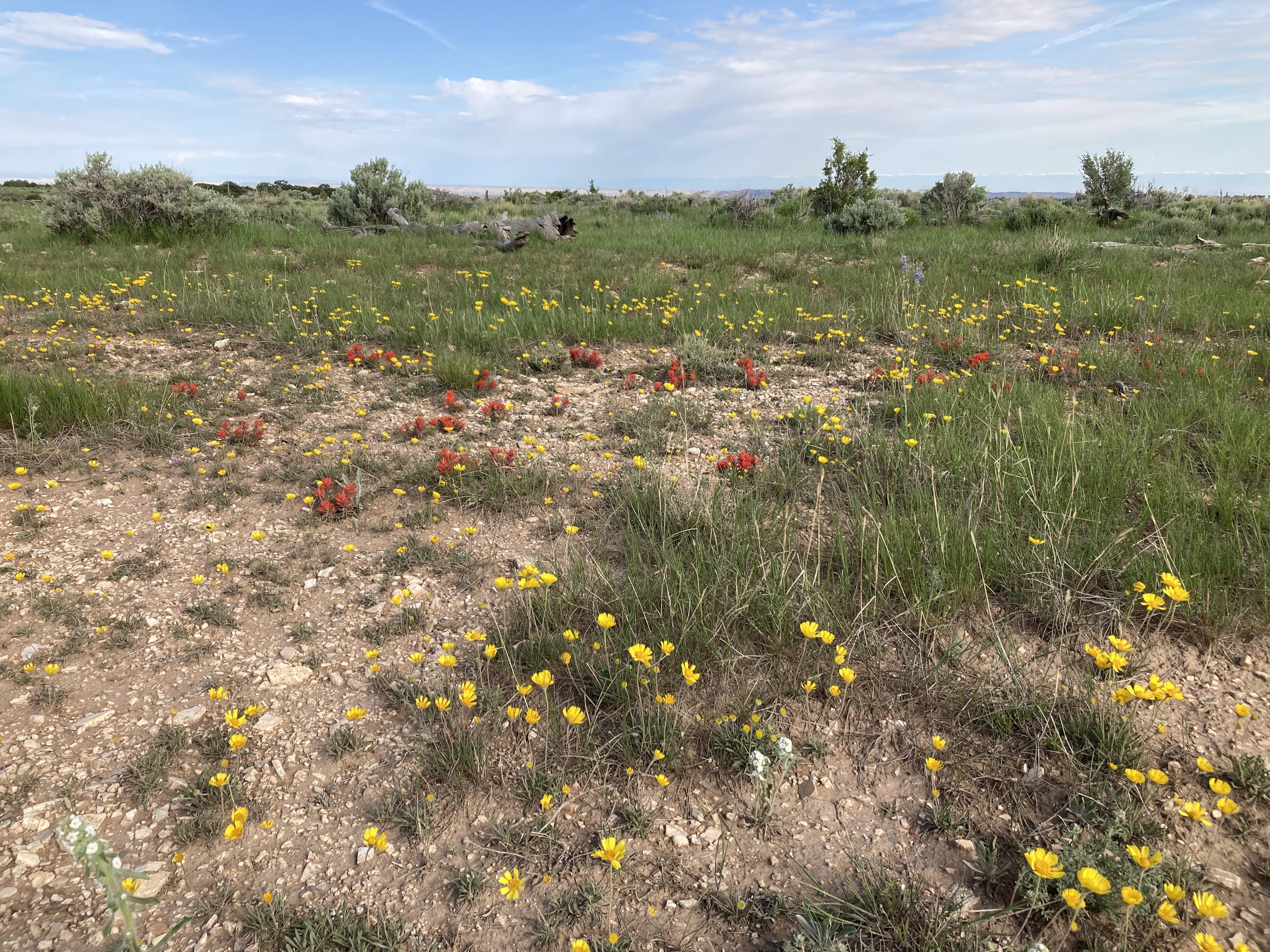
The strip is co-located with a road which meanders back and forth across the strip. Aside from a few sagebrush here and there, the runway is not too rough. But I could only find 600-700’ stretches of it without sagebrush, or the road intruding with sometimes a rough transition between the two. I did measure off one stretch of road that’s fairly straight and about 1000’. It’s definitely useable, but with due caution. The strip is 7200’ elevation, so density altitude is a factor. With the longest continuous useable stretch about 1000’ long, it’s definitely on the marginal side. BTC type aircraft should have no problem. The setting is beautiful and remote.
We haven't written a history for this airstrip yet. If you would like to provide us with some information about this strip, please contact us today!