Airstrip Info
| Frequency | 122.90 |
|---|---|
| Elevation | 4884 ft |
| Lat/Long |
37.854, -110.2988 37° 51.24' , -110° 17.928' |
| Runway 01/19 |
1300 ft
x 12 ft
Soft Sand Rwy 19 Uphill 1.7% |
| Ownership | BLM NM |
Weather
See more at the National Weather Center
Information updated July 9, 2025 @ 5:14pm
Browns Rim Airstrip is TEMPORARILY CLOSED. The airstrip is within the Bears Ears National Monumnet and the airstrip use is not allowed until the BLM has completed a NEPA evaluation of the airstrip.
Description: Near the National Park Boundary to the north, Brown's Rim offers a spectacular view of Cataract Canyon via a short hike.
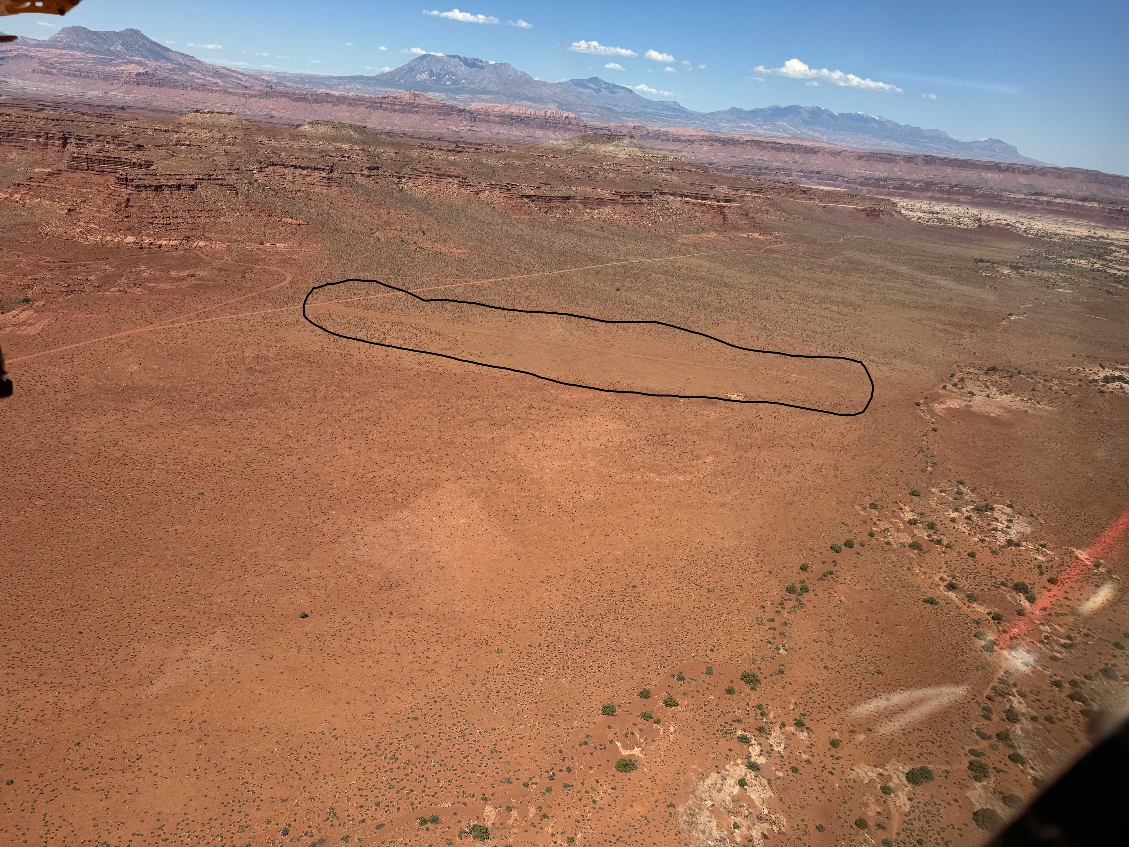
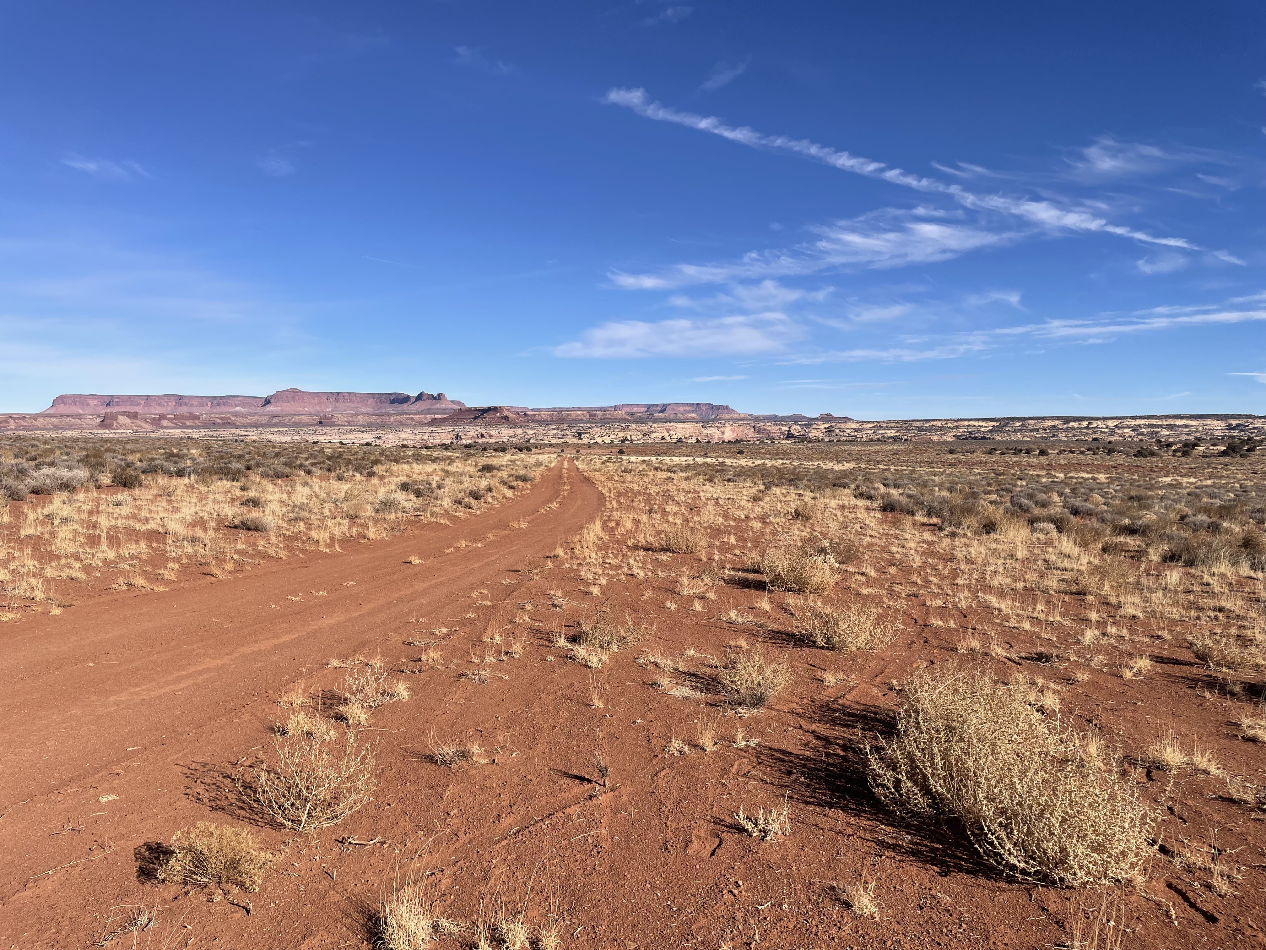
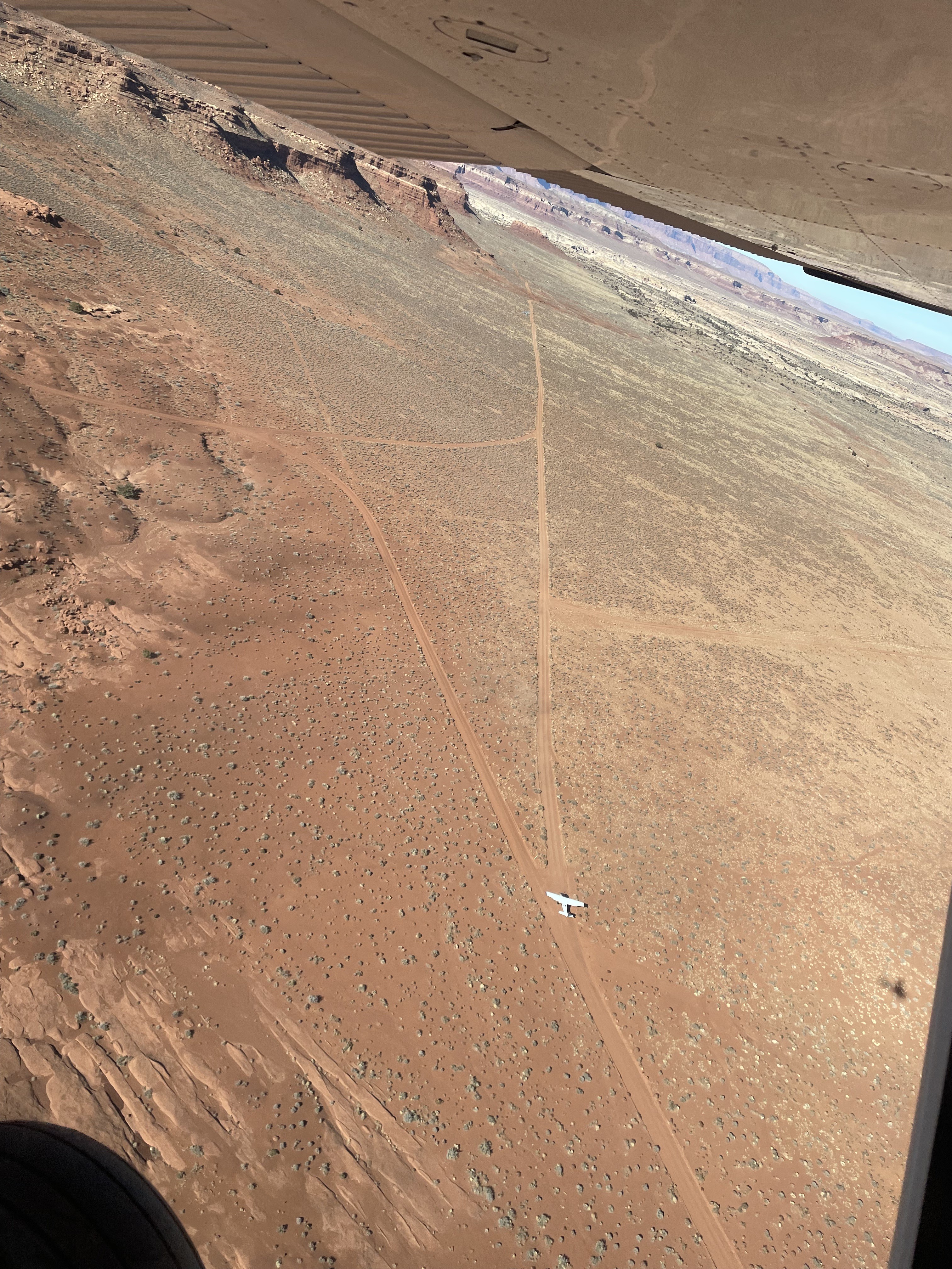
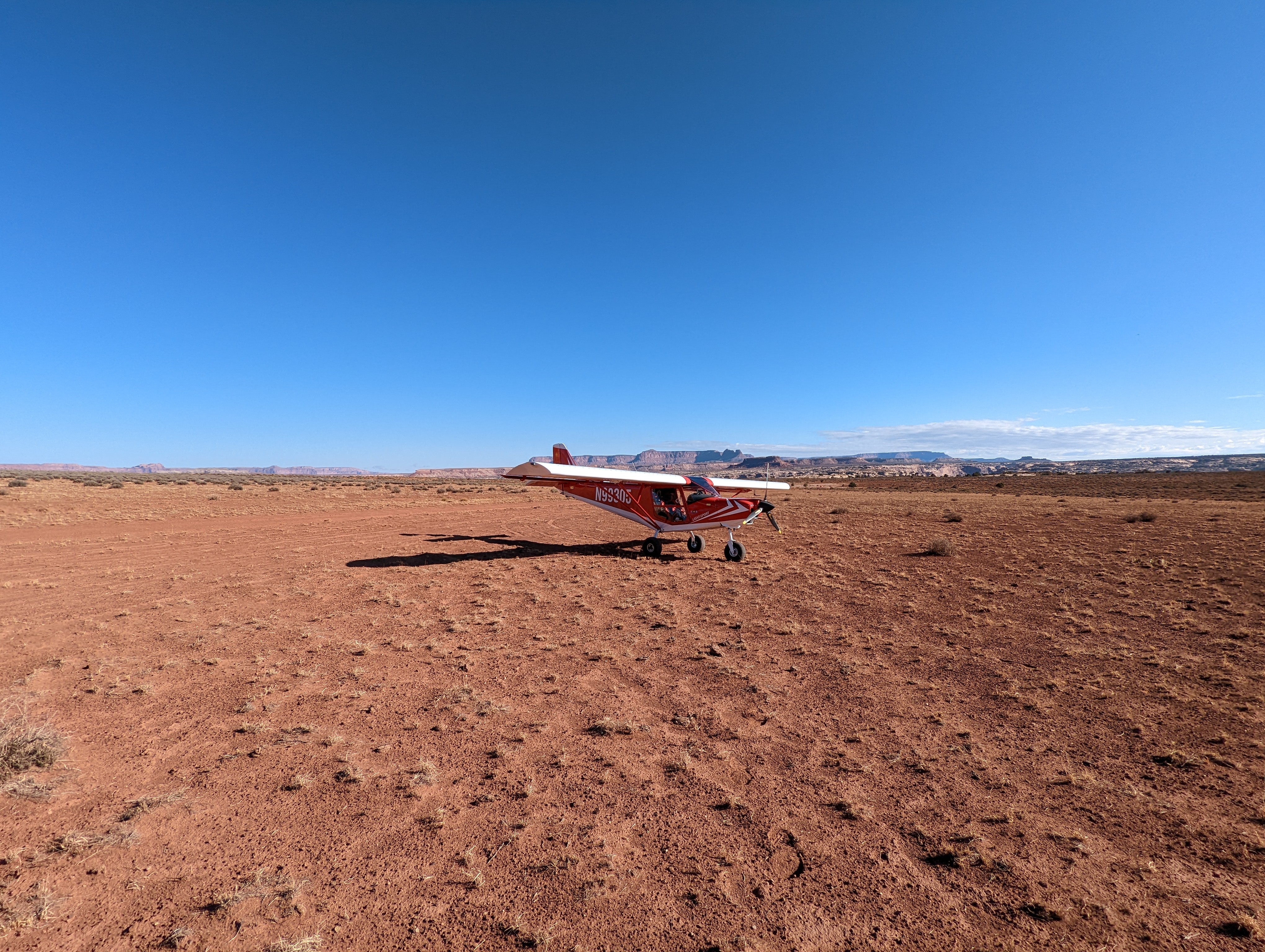
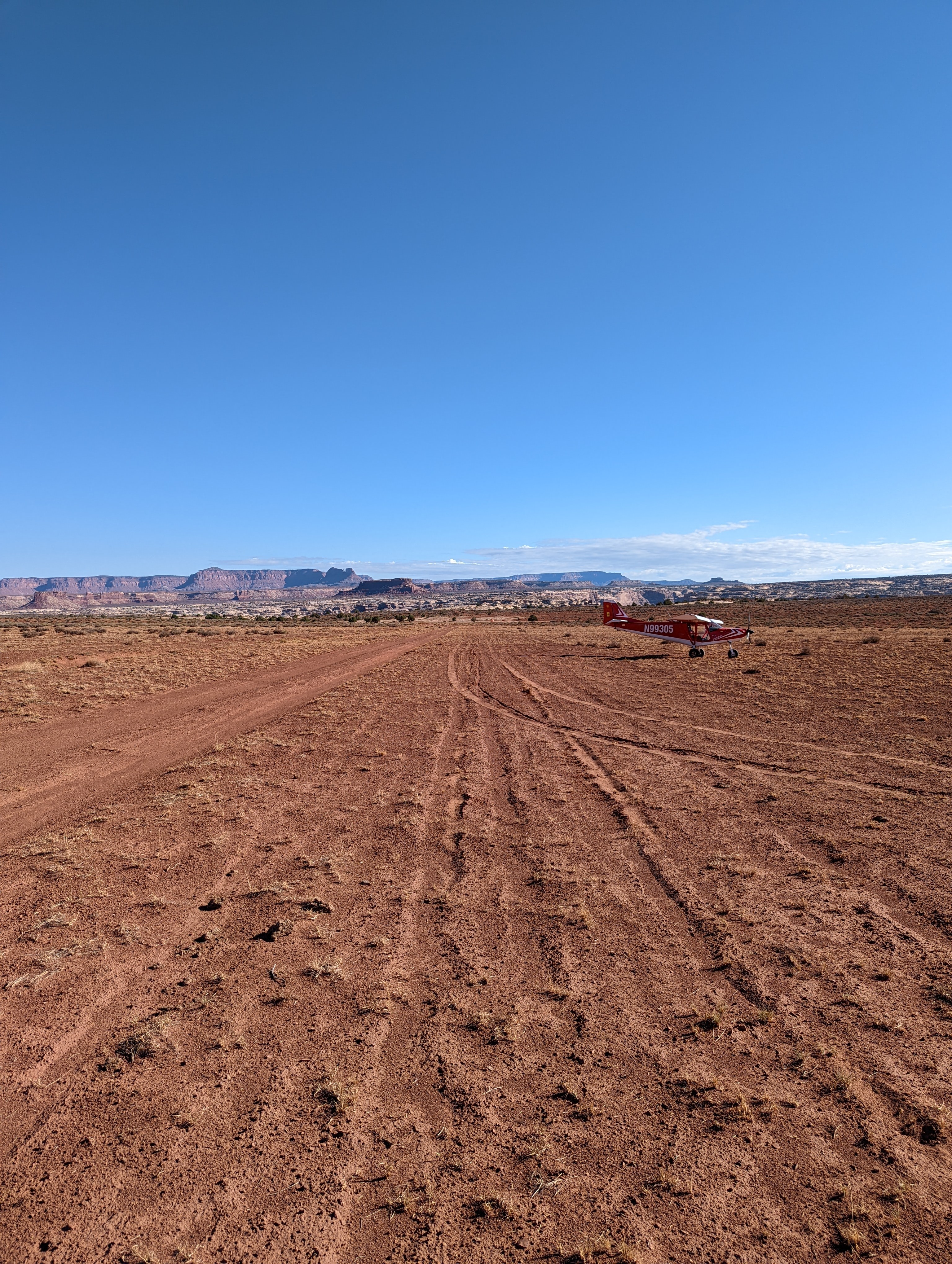
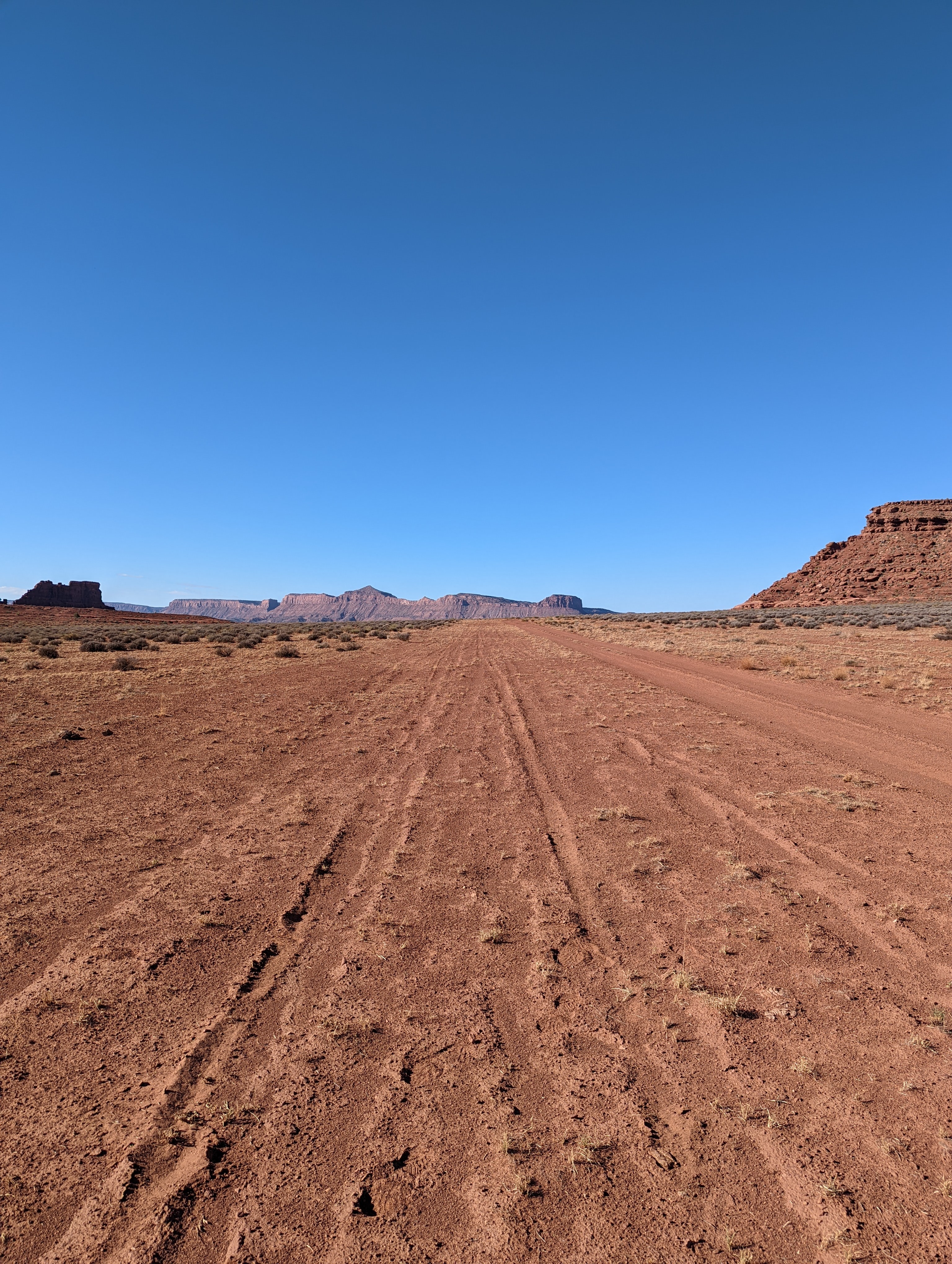
Runway: 1300 ft long x 12 ft wide two-track dirt road that is predominantly soft sand.
Approach Considerations: No unique hazards other than being short and soft.
Amenities: None
Windsock: No
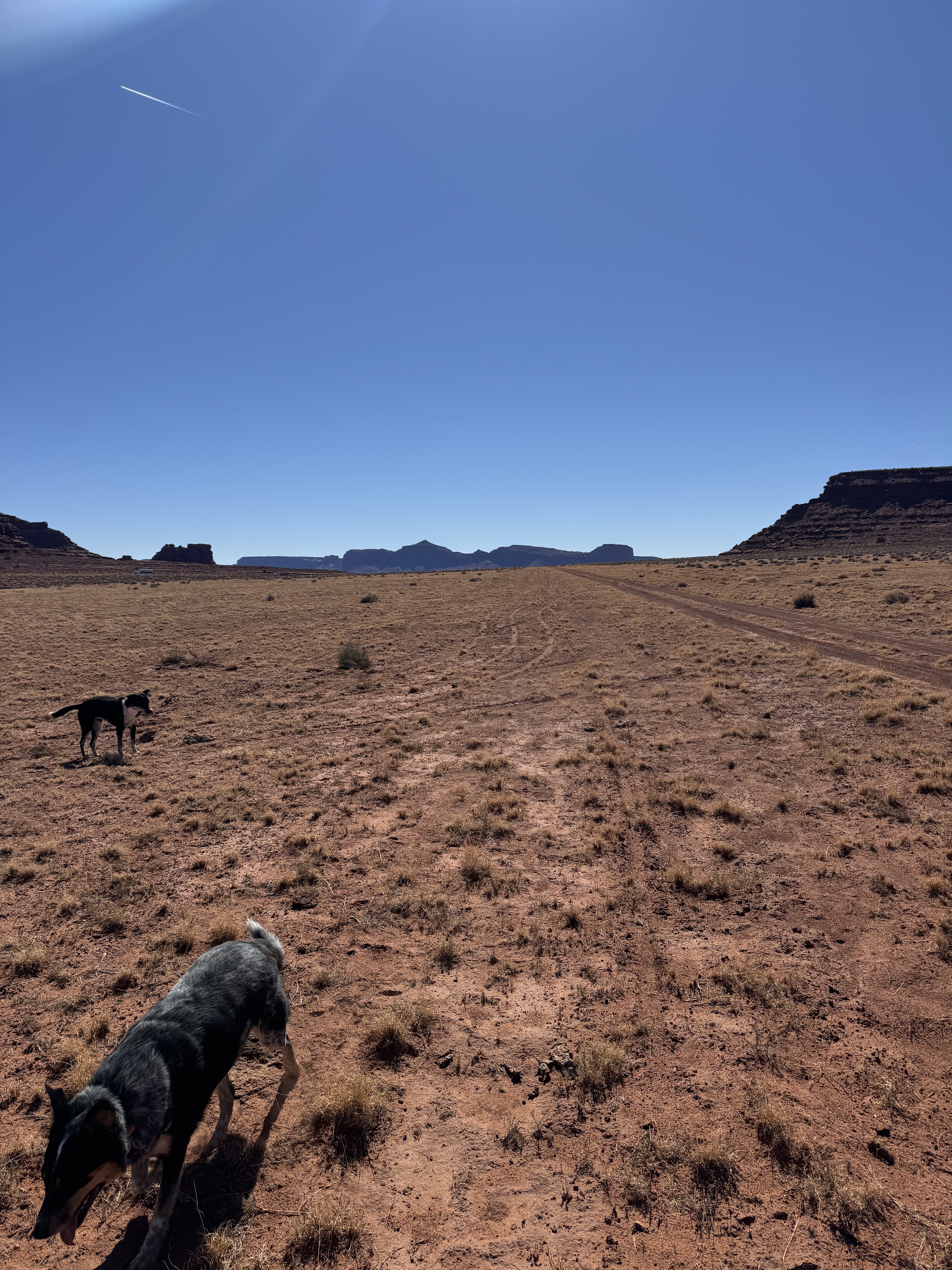
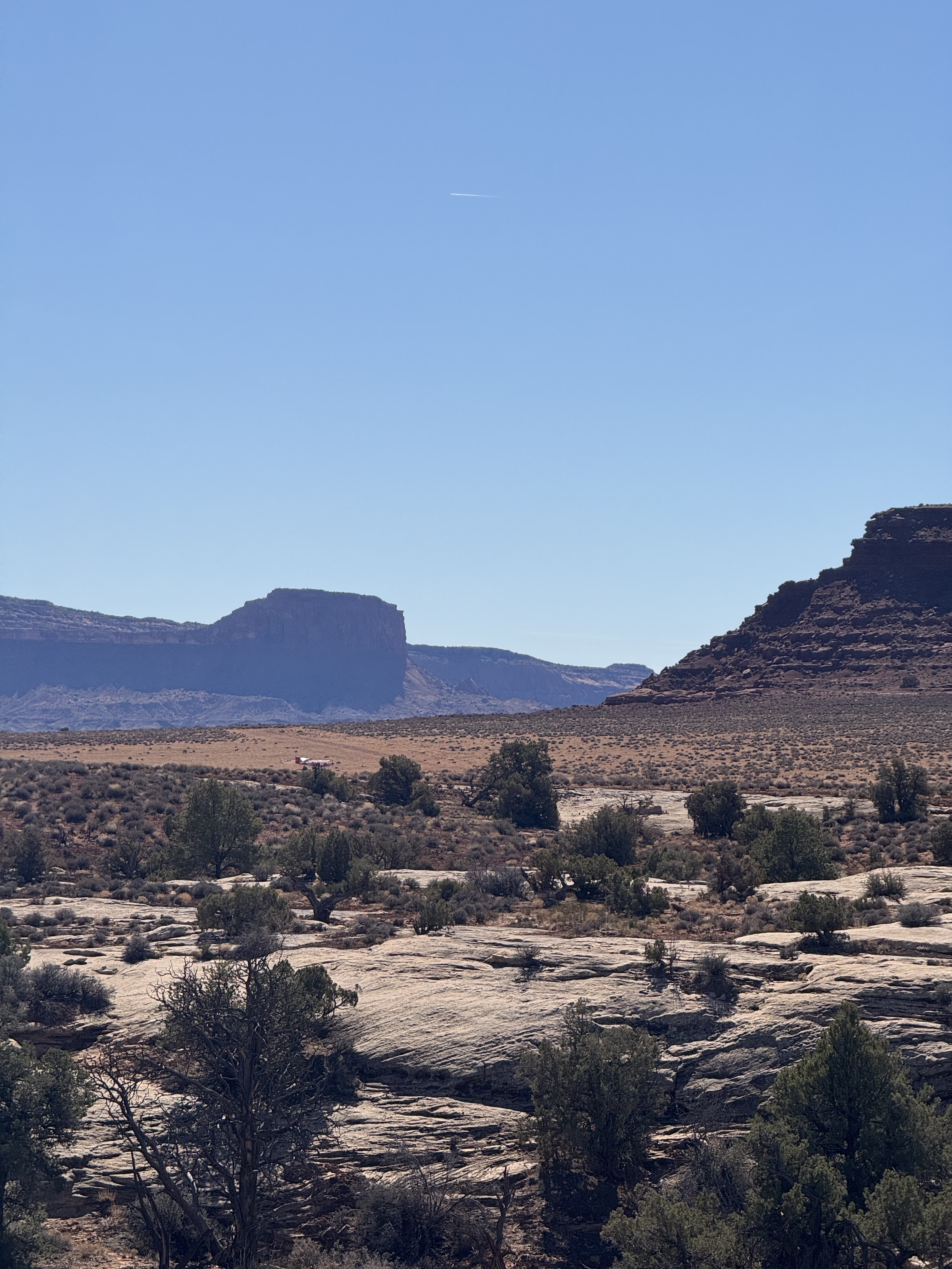
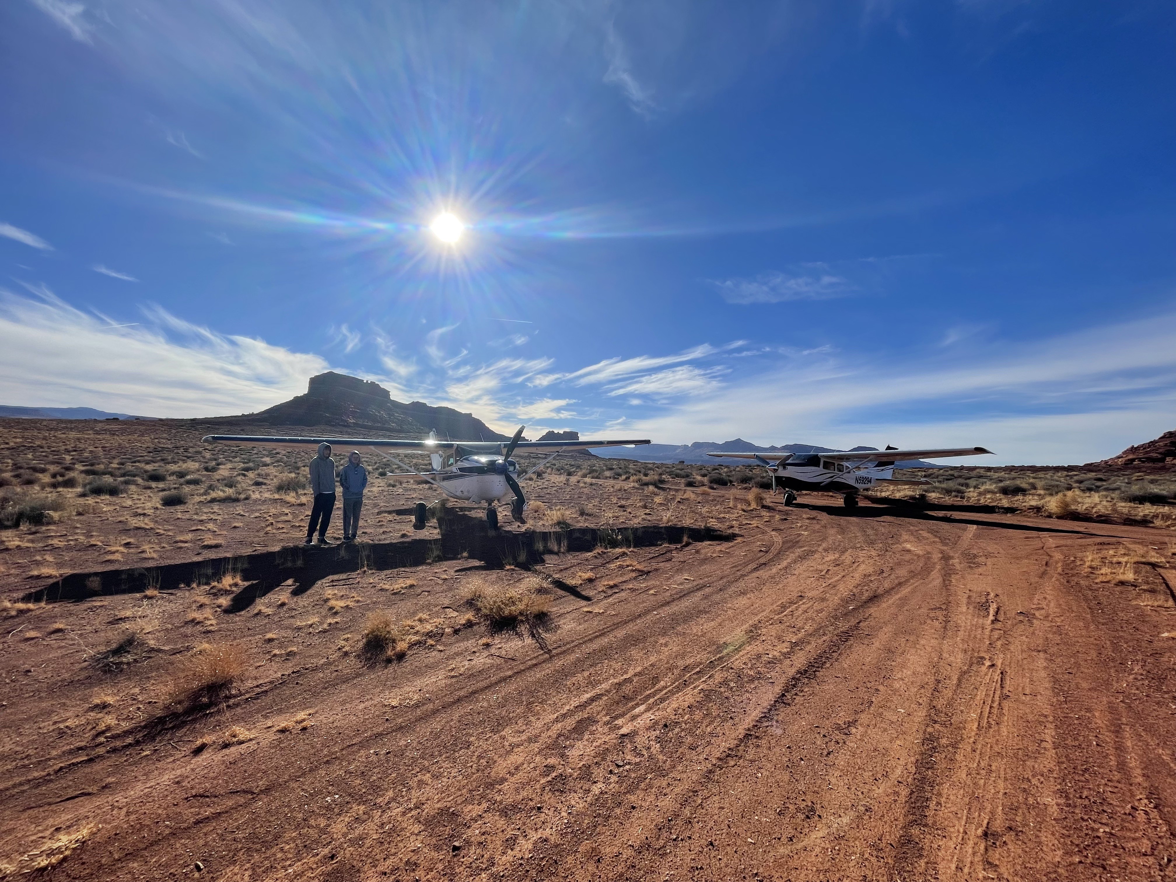
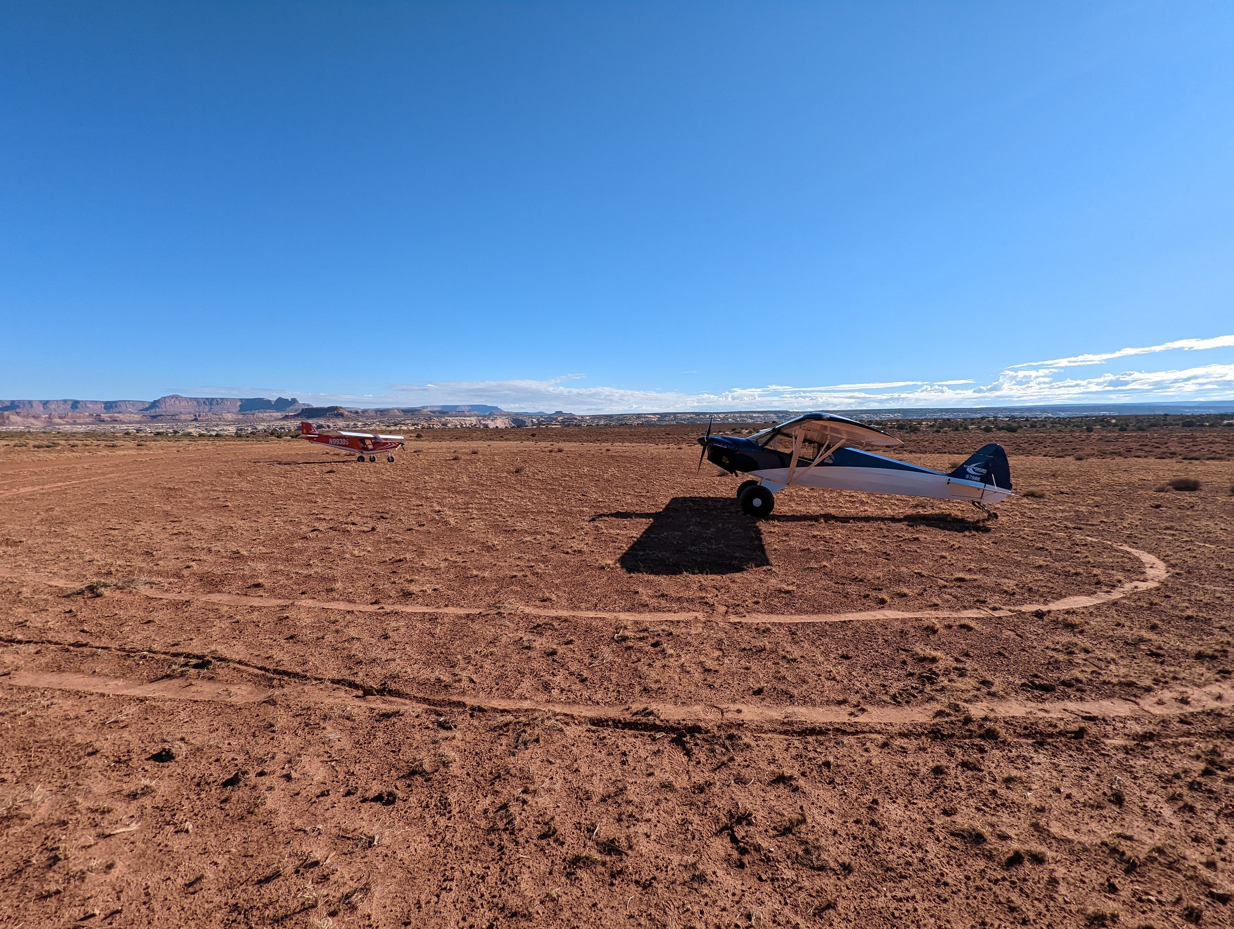
Brown’s Rim is a wonderful place to visit. Awesome views of the Colorado River and the immense canyon the river created are a short hike from the strip. As seen in the attached pictures and below video, the strip is immediately adjacent to a well-travelled road. Presence of cattle watering “station” and salt-licks indicate this area is actively grazed. Camping would be spectacular here. Open country—any wind or weather would require secure tie-downs. This is a 360° video. Use your mouse, trackpad, tilt your mobile device or tablet, or use your finger on your mobile device or trackpad to view different perspectives. https://youtu.be/rhkLrpV4Bjk
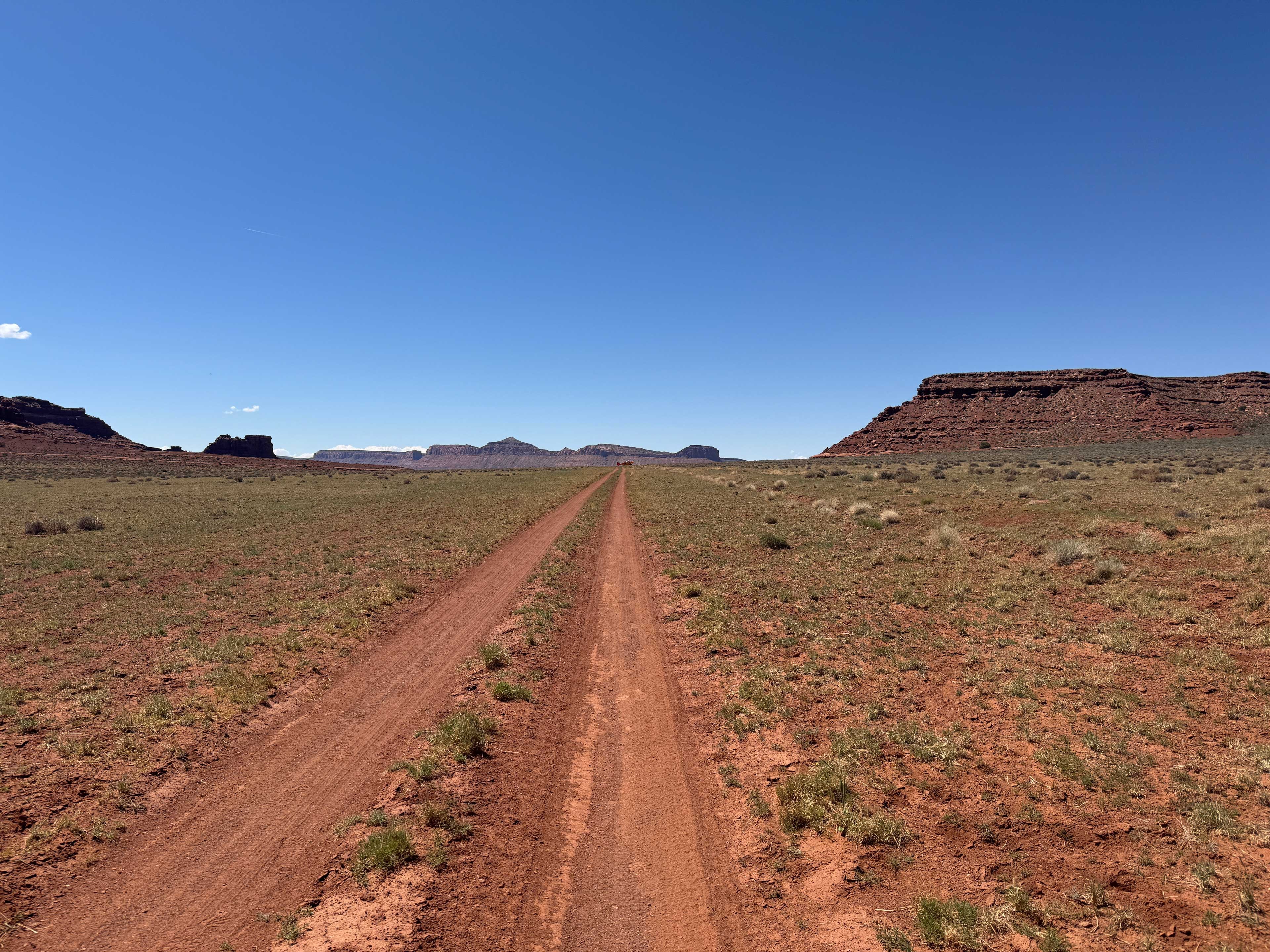
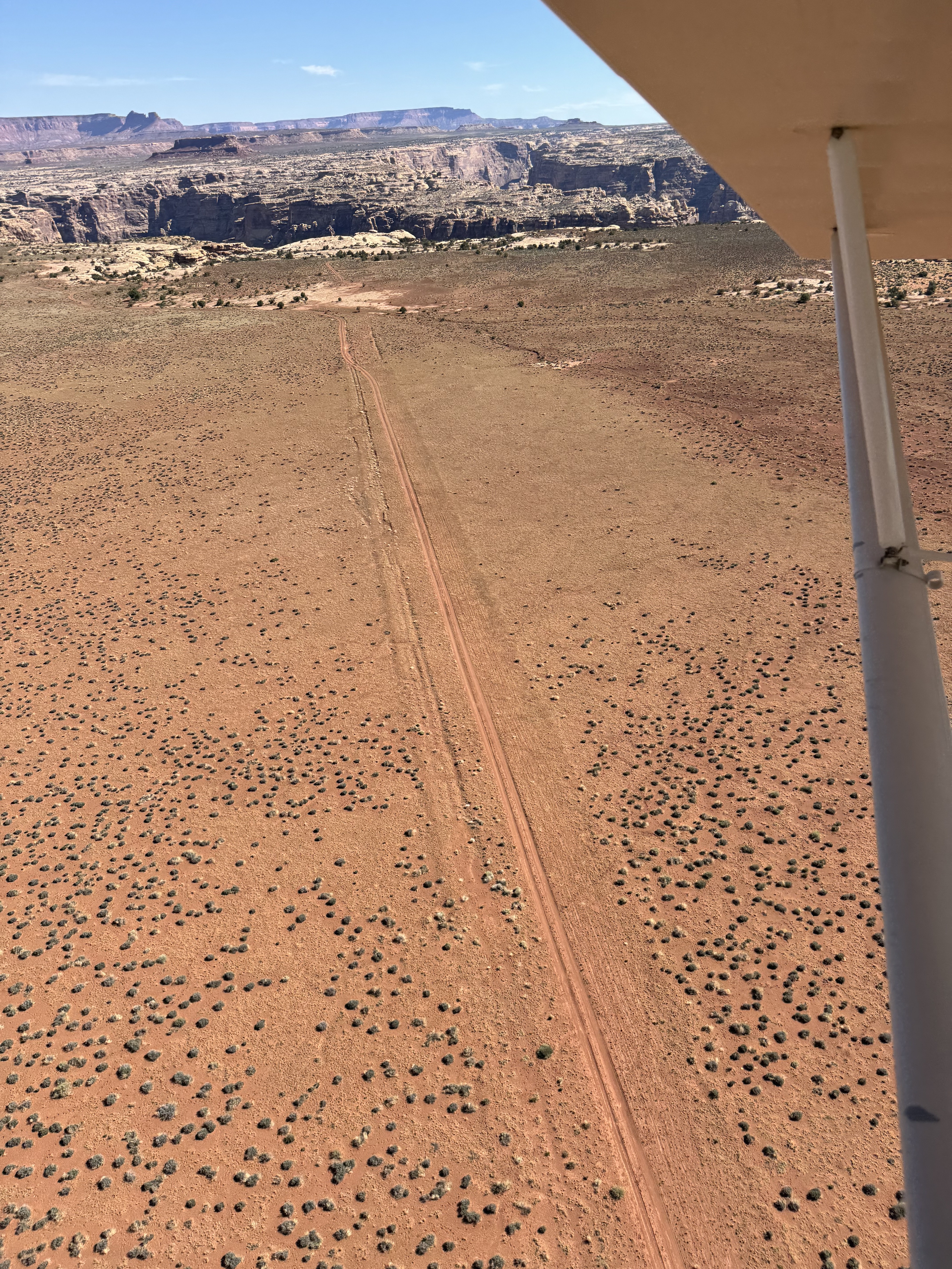
As mentioned previously, the two track down the road, while a little uneven on the north end, is a better landing surface. That being said, I landed next to the two track where I could see other tracks and it wasn't bad. The surface currently has about a 1/4" give to it so not very soft. The two track road was nice and firm. Two other aircraft with me took off on the road. The Y to the east offers a good place to turn around. The other aircraft took off to the west on the road, starting at the south end of the strip. The road is firm and smooth. A little work on the strip removing some bushes and installing a windsock would be good projects for this strip. Beautiful view of the Colorado River.
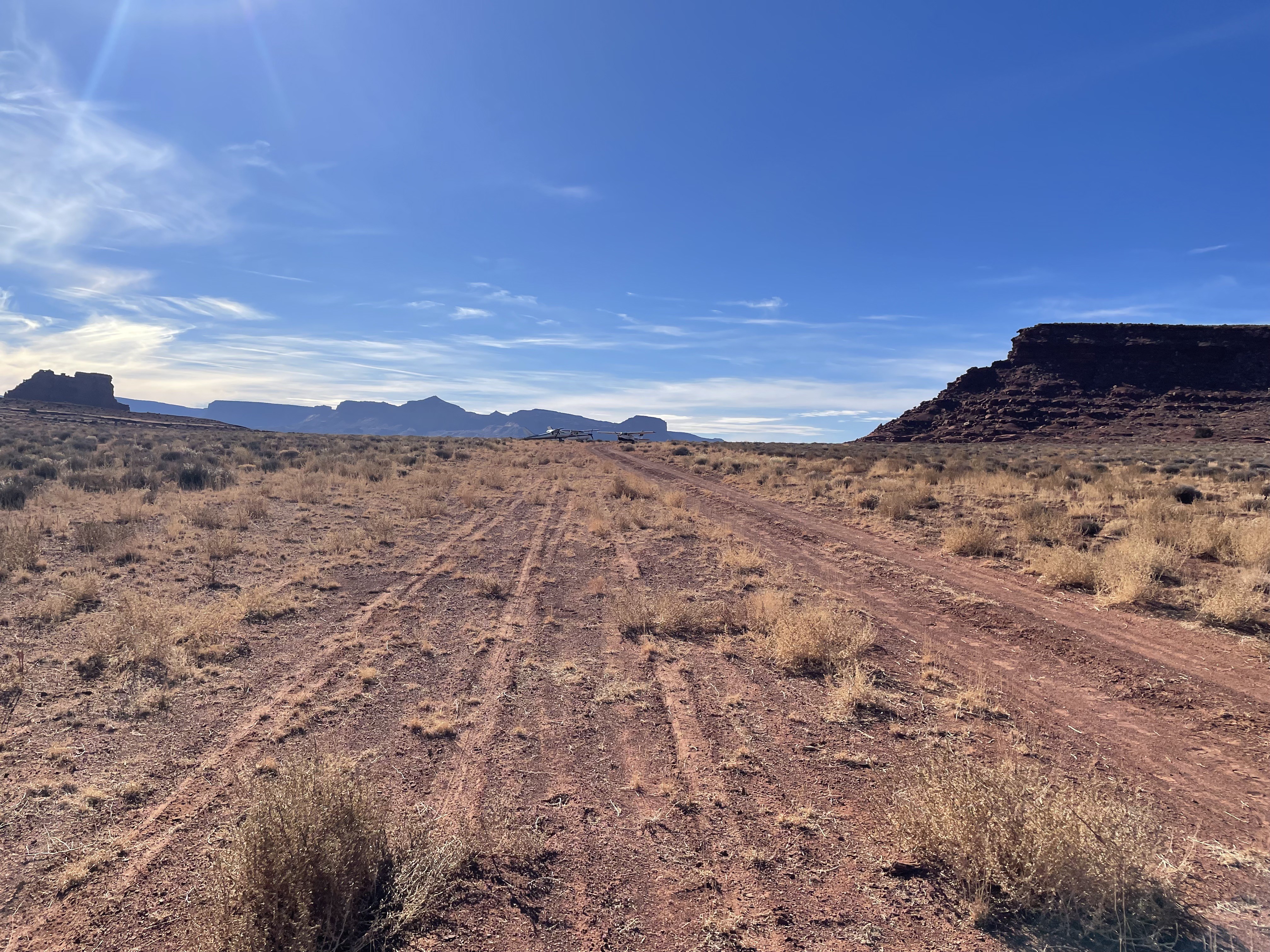
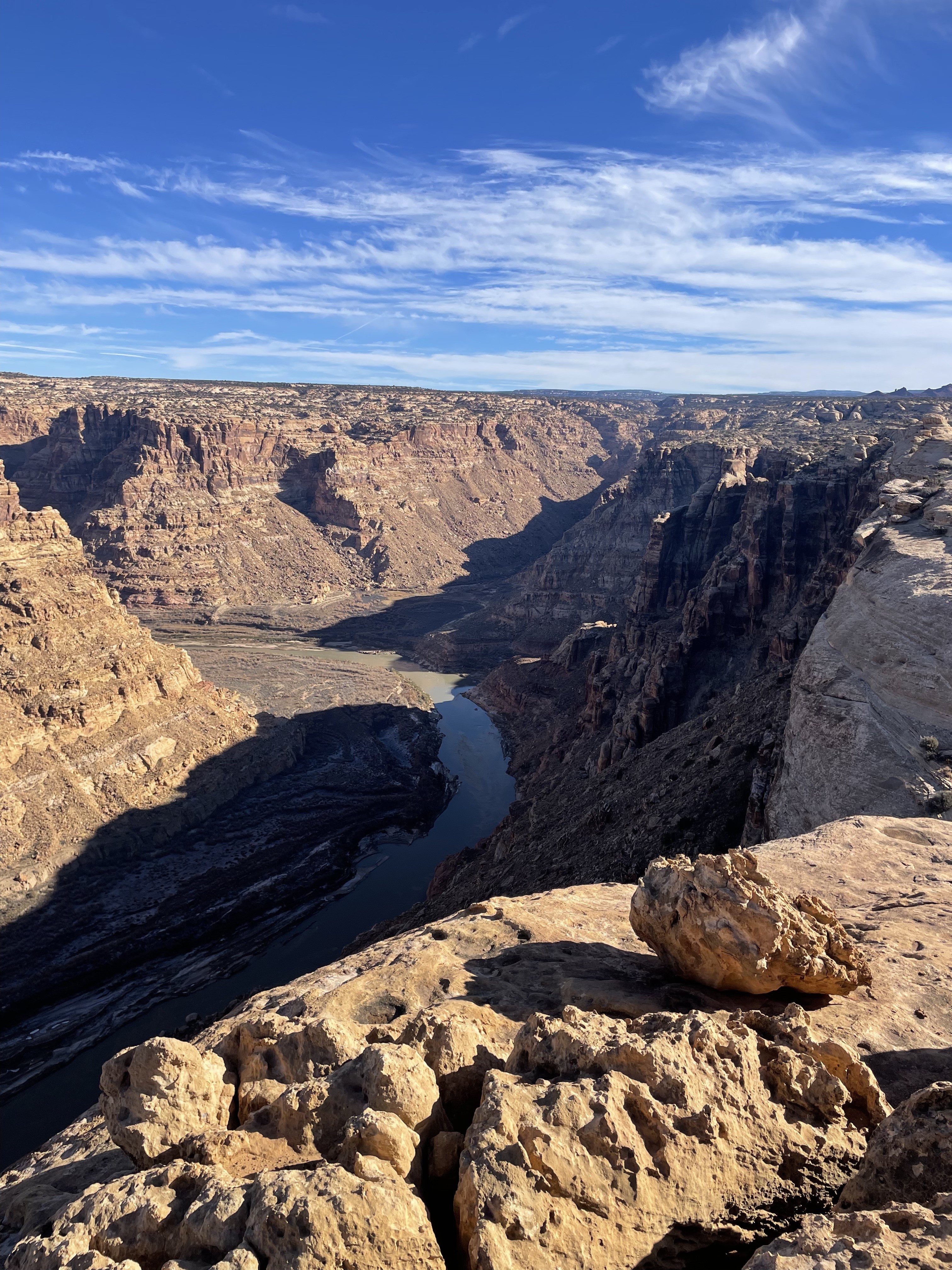
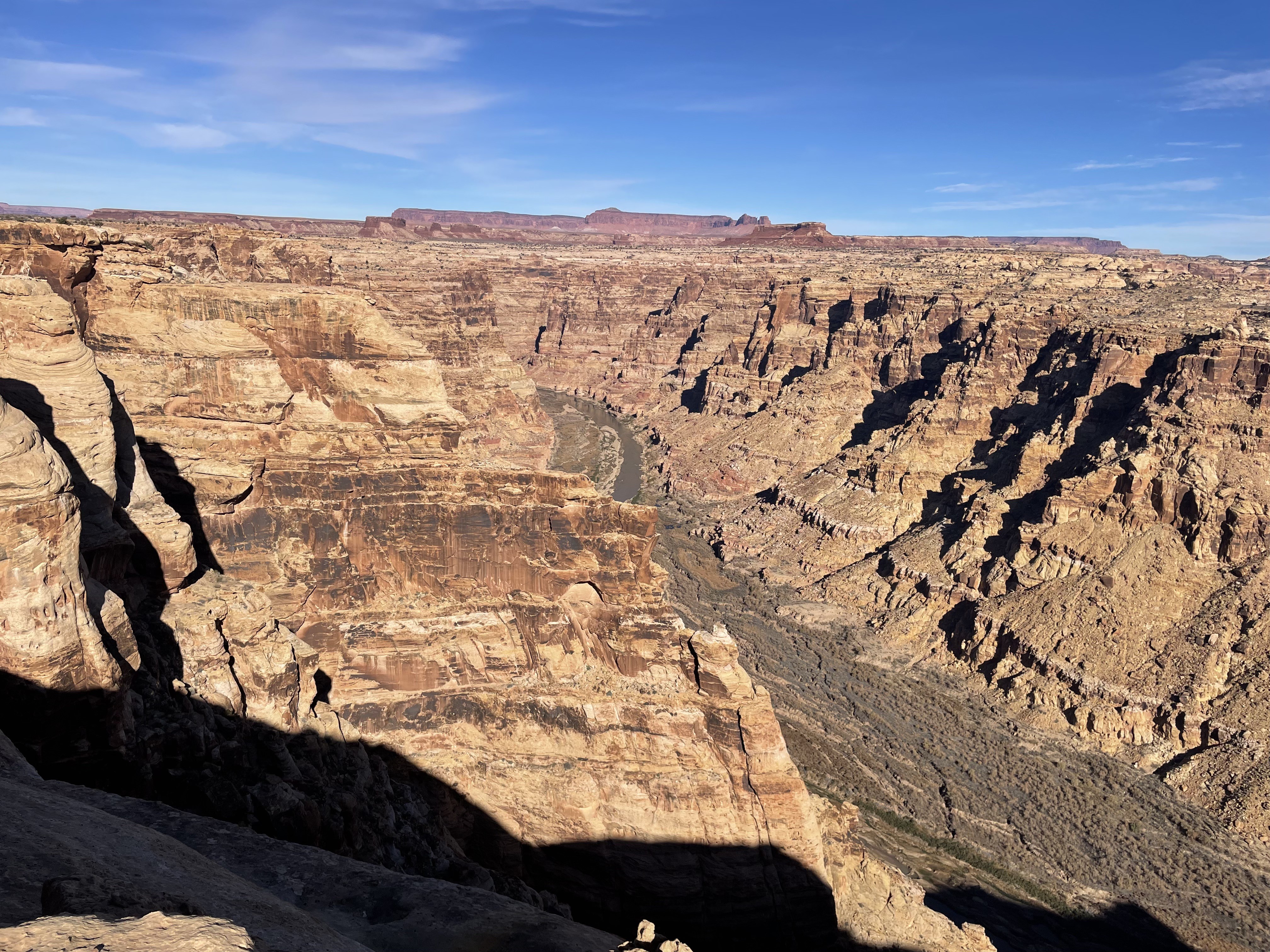
Nice strip with good views of the Colorado River nearby. Landing is best on the eastern side of the runway as on the western side it has been slightly rutted out with two track from vehicles. Looks like possible camping on the northern end of the runway, but the area is fairly flat all around. Noticeable slope in the runway up to the south. Here's a video of scouting the strip, doing one test touch, and then finally landing: https://photos.app.goo.gl/cZ4xBUTuvNjChC3e6

Brown's Rim's airstrip has been identified on USGS maps since 1952. You can view this historic map below or download it by clicking here. On current topographic maps, the airstrip has been given the designated route number D1958, likely being recognized by the County as a D route.