Airstrip Info
| Frequency | 122.90 |
|---|---|
| Elevation | 6200 ft |
| Lat/Long |
38.1872, -108.8608 38° 11.2332' , -108° 51.6498' |
| Runway |
900 ft
x 15 ft
Dirt |
| Ownership | BLM |
Weather
See more at the National Weather Center
We haven't written a description for this airstrip yet. If you would like to provide us with some information about this strip, please contact us today!
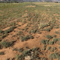
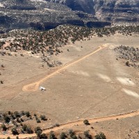
Bull canyon getting some vegetation growth on the strip but not bad. Beware of a metal stake in the ground with 2 rocks around it to mark it in the NE turnaround. It sticks up a ~2 inches. It is near the NE inside edge of the loop. Bull canyon getting some vegetation growth on the strip but not bad. Beware of a metal stake in the ground with 2 rocks around it to mark it in the NE turnaround. It sticks up a <2 inches. It is near the NE inside edge of the loop.
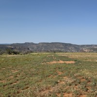
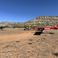
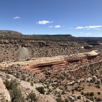
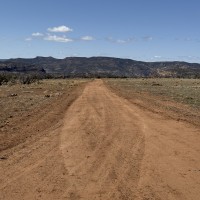
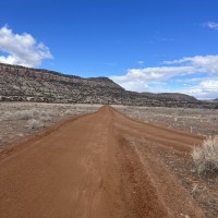
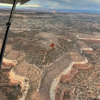
This airstrip sits on a bench below Monogram mesa and above the Dolores River, right outside the wilderness study area in Bull Canyon. Runway direction SW/NE If landing to the SW, beware of where a two track road crosses the runway about 100ft from the NE turnaround. It doesn’t look like much from above but is big enough to launch you back in the air if you touchdown before the two track. Might be wise to land right past the two track road if landing SW. Landing to the NE is no issue. Windsock coming soon.
We haven't written a history for this airstrip yet. If you would like to provide us with some information about this strip, please contact us today!
