Airstrip Info
| Frequency | 122.90 |
|---|---|
| Elevation | 6675 ft |
| Lat/Long |
37.8959, -110.089 37° 53.751' , -110° 5.339' |
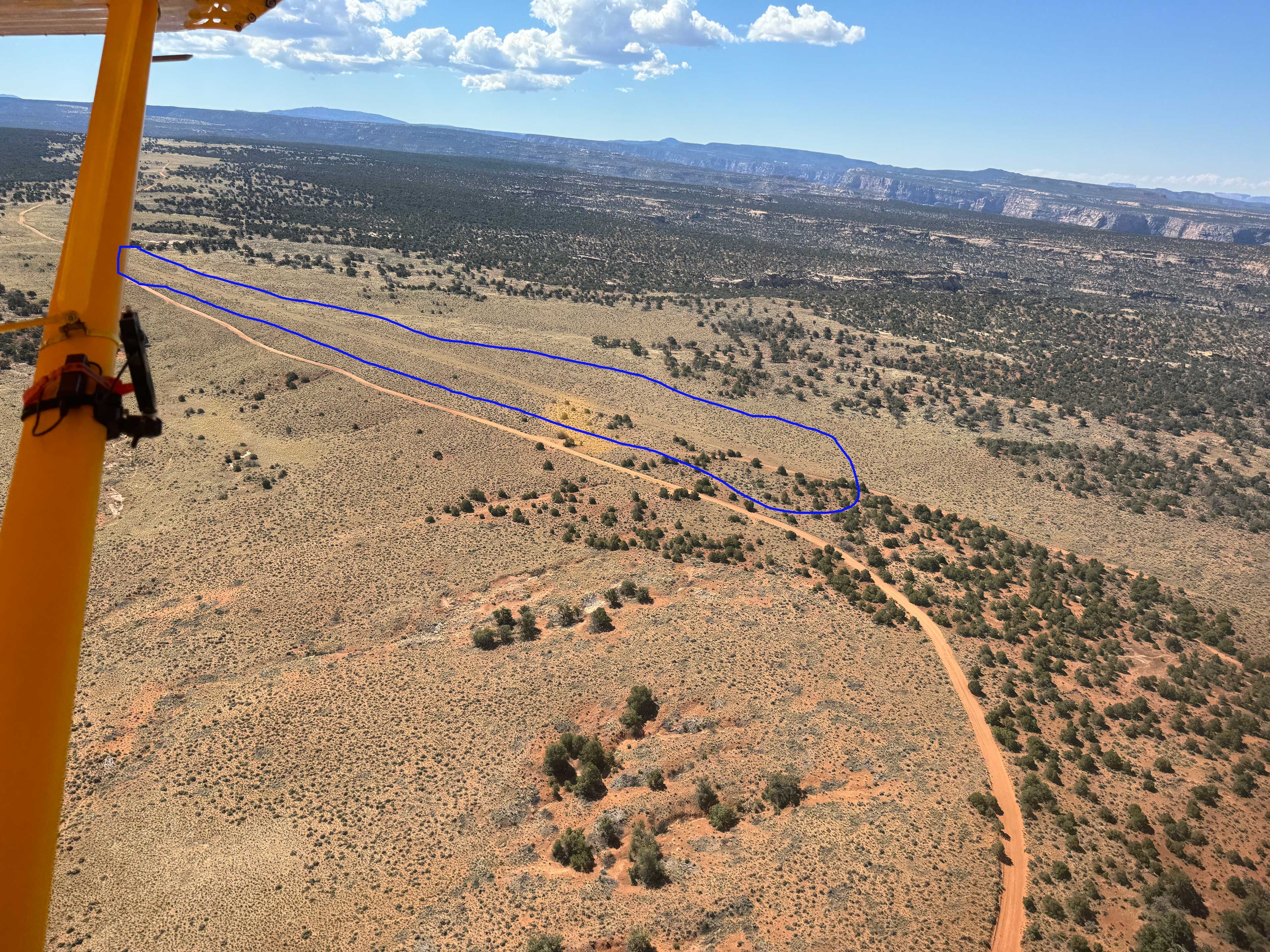
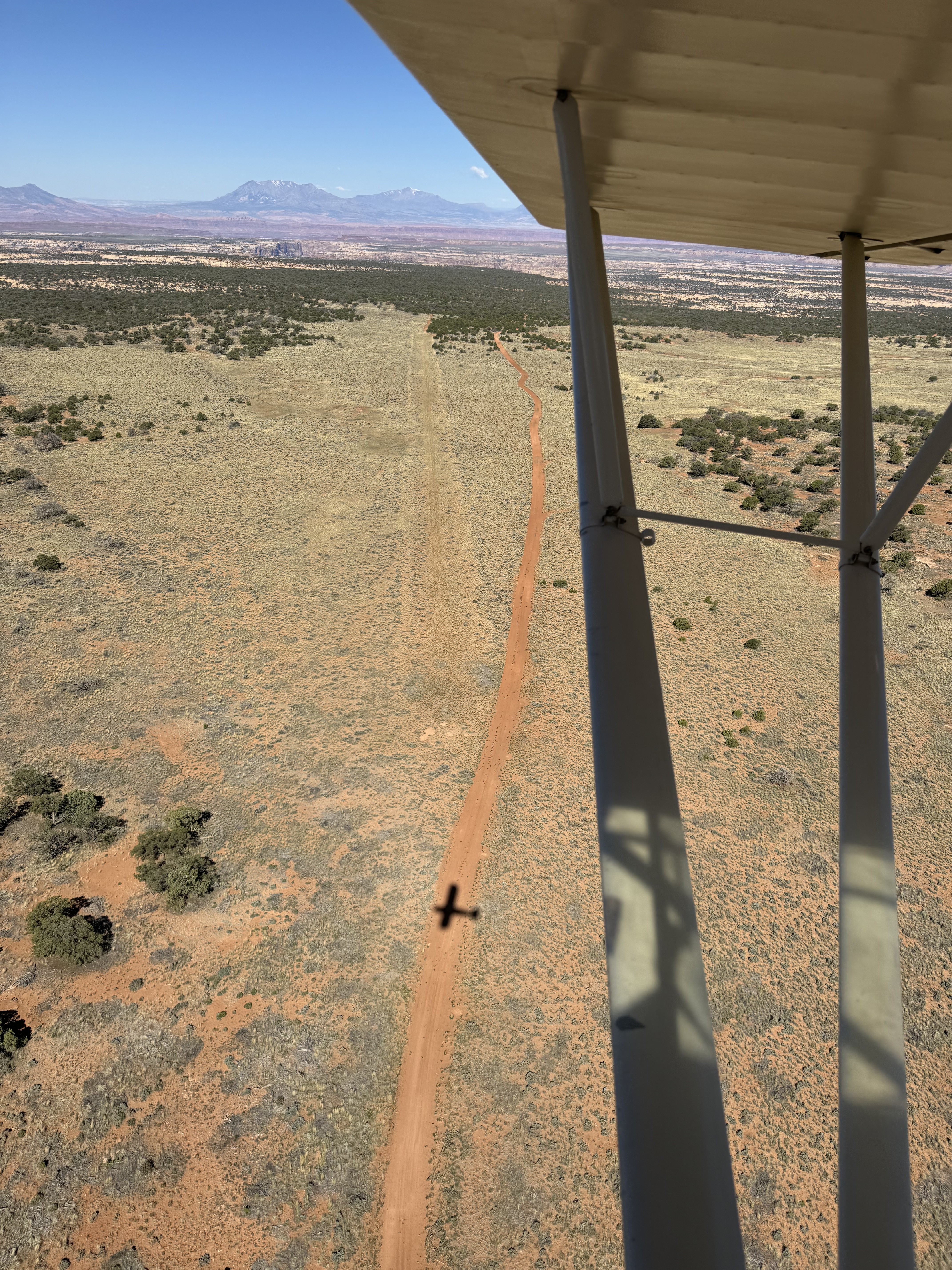
| Runway 10/28 |
2400 ft
Overgrown Dirt |
| Ownership | BLM NM |
Weather
See more at the National Weather Center
Information updated July 9, 2025 @ 5:13pm
Dark Canyon North Airstrip is TEMPORARILY CLOSED. The airstrip is within the Bears Ears National Monument and the airstrip use is not allowed until the BLM has completed a NEPA evaluation of the airstrip.
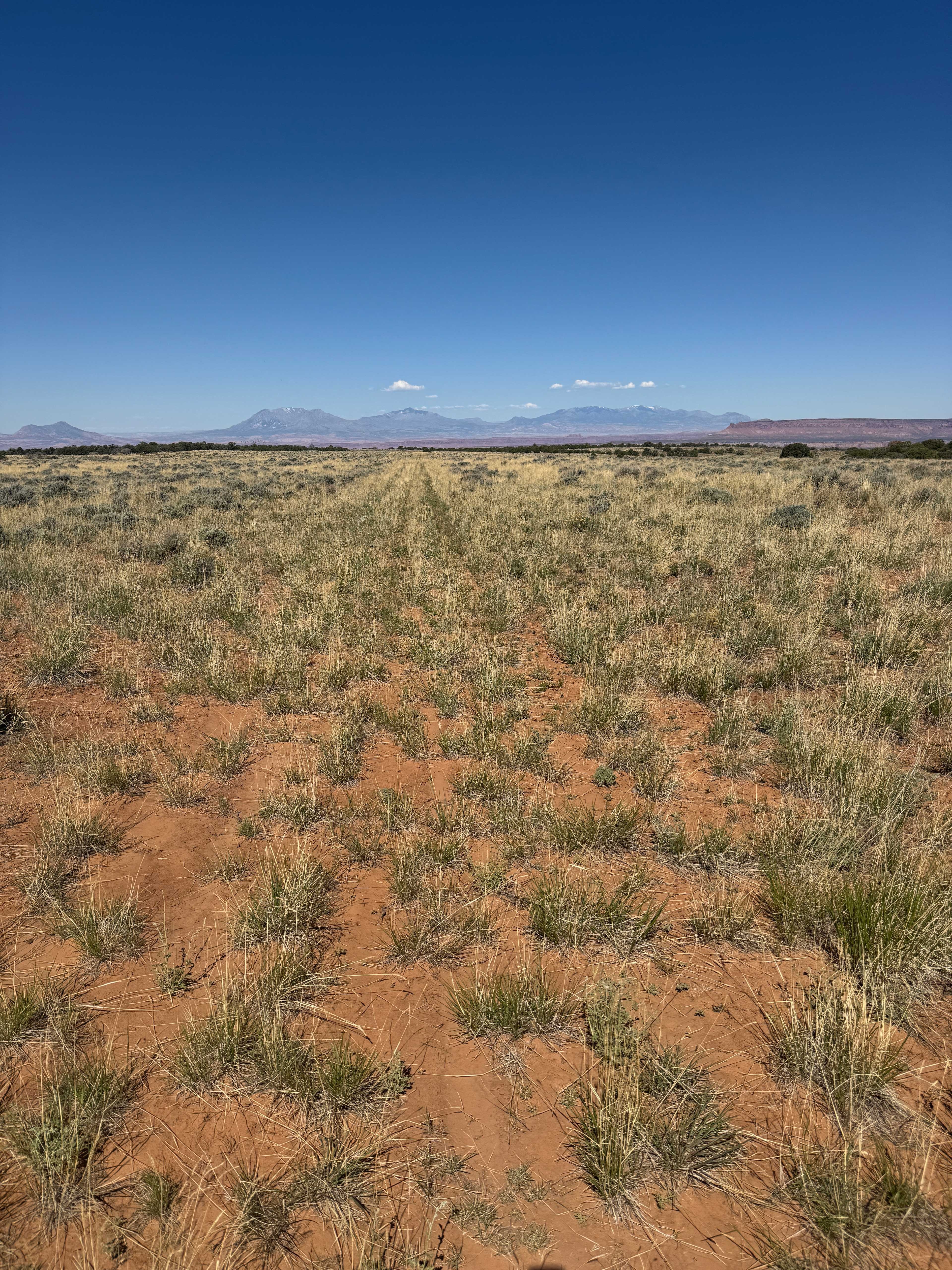
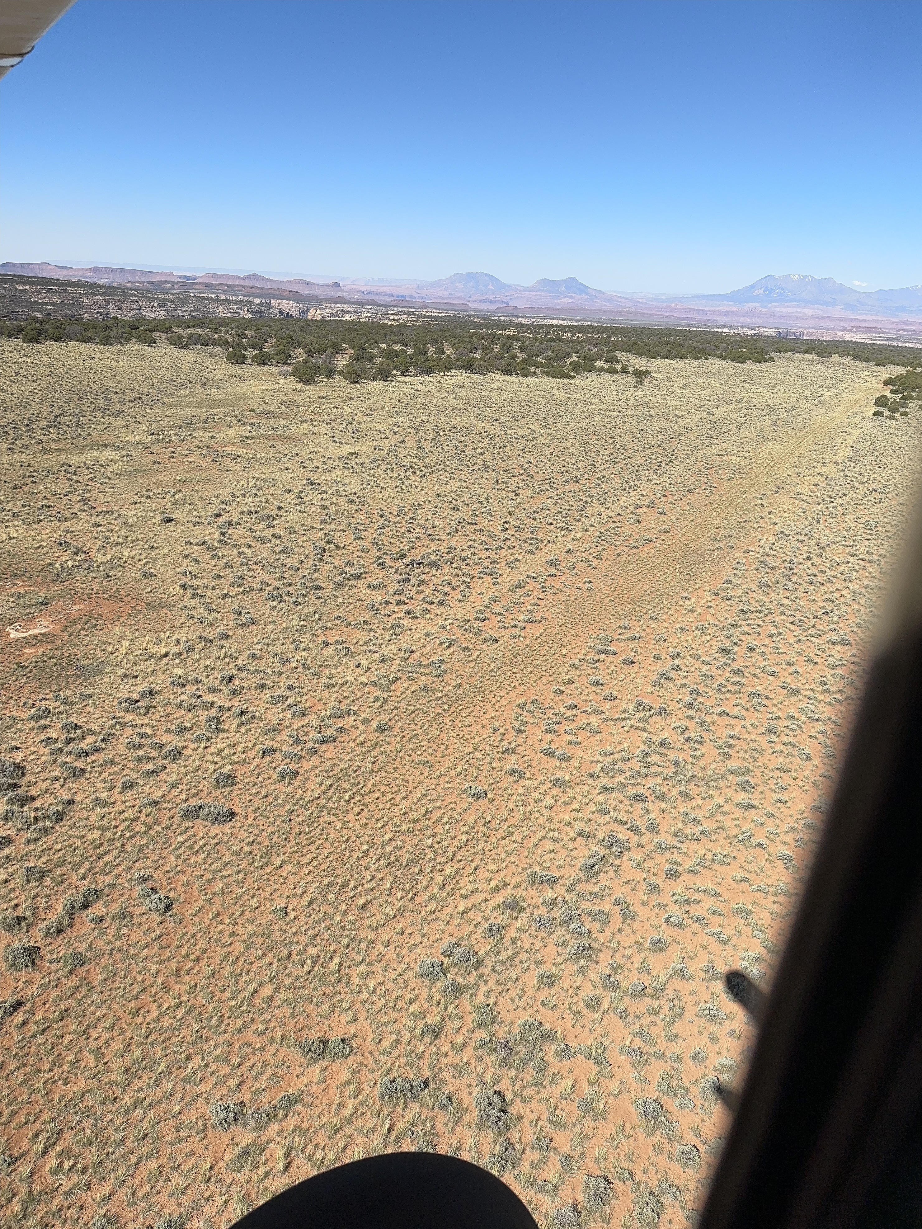
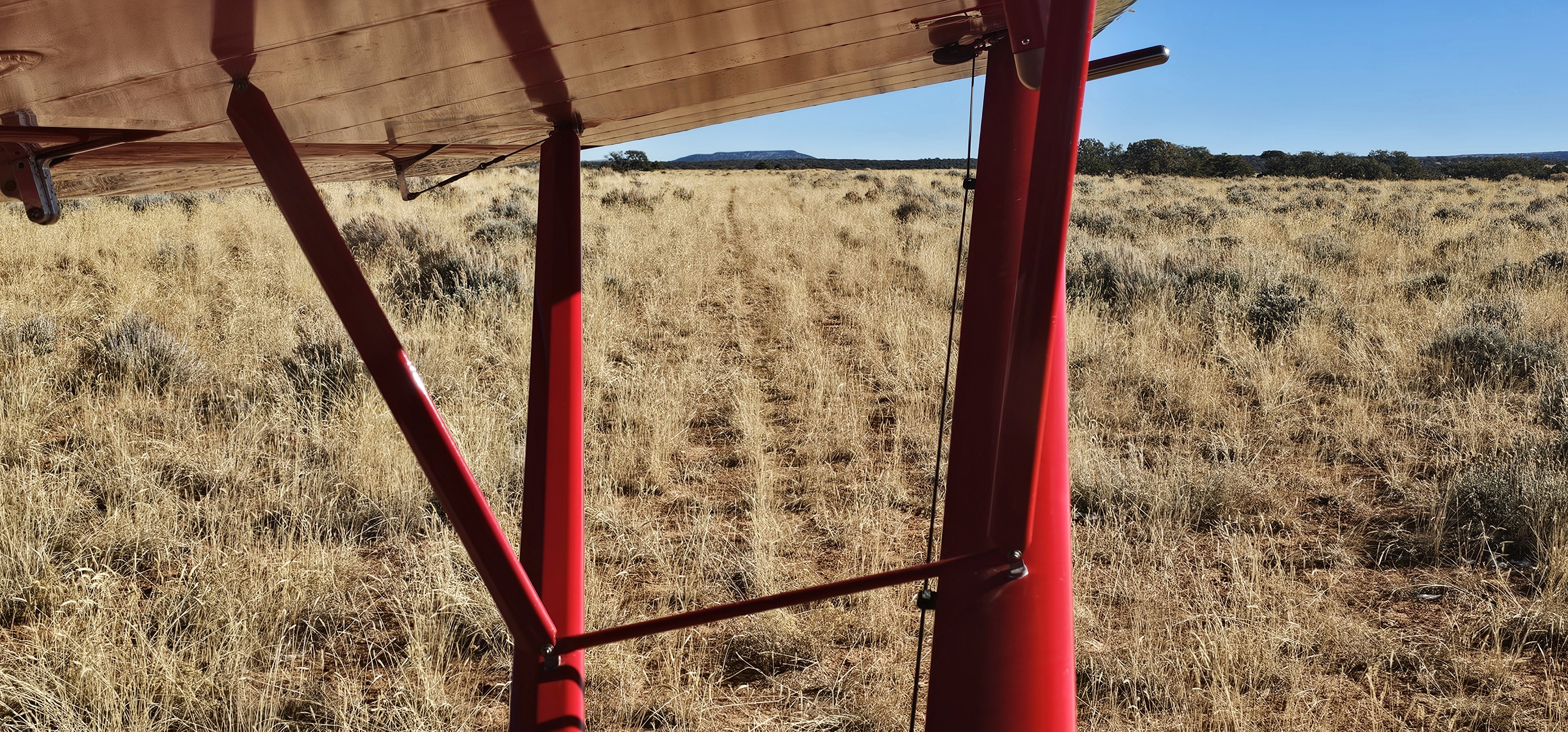
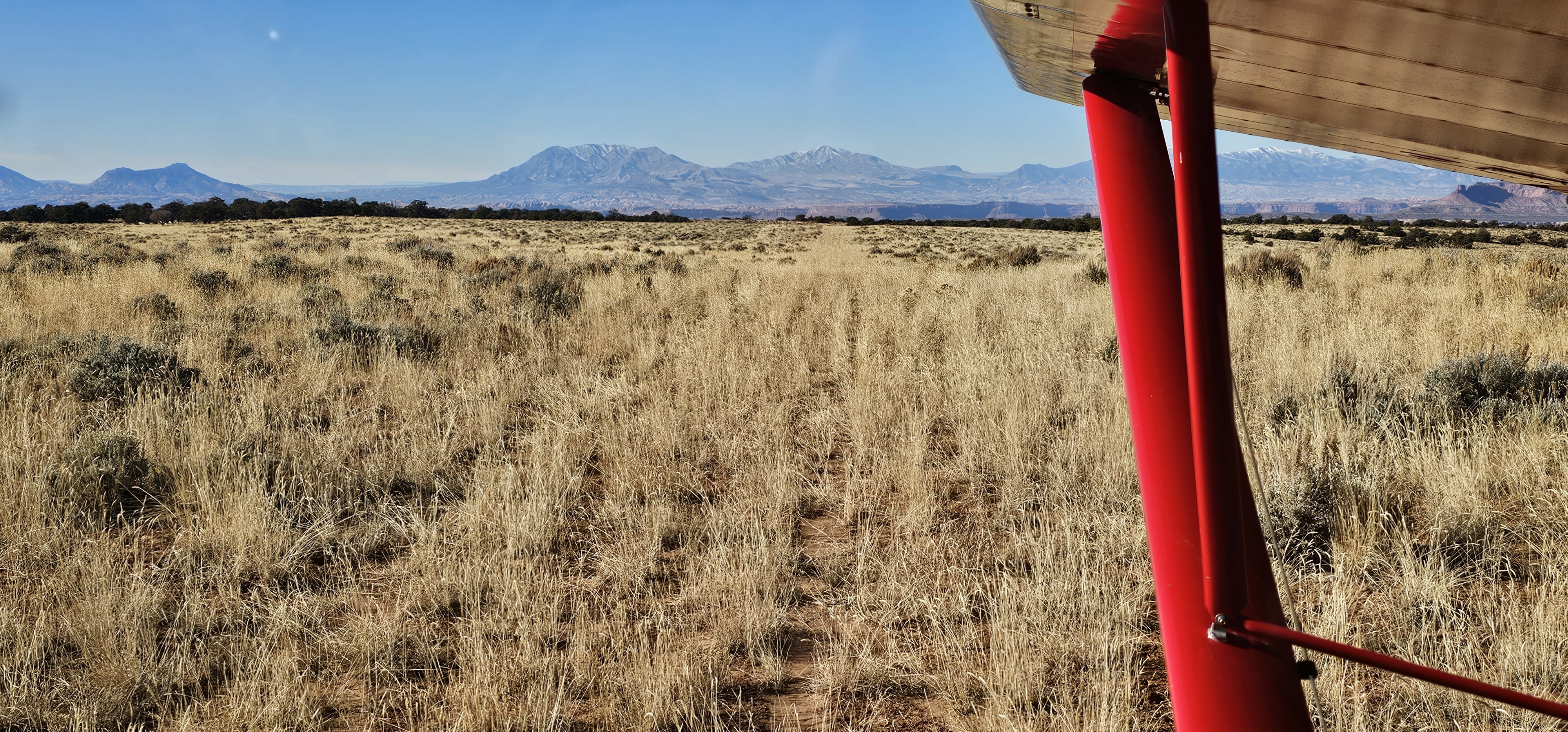
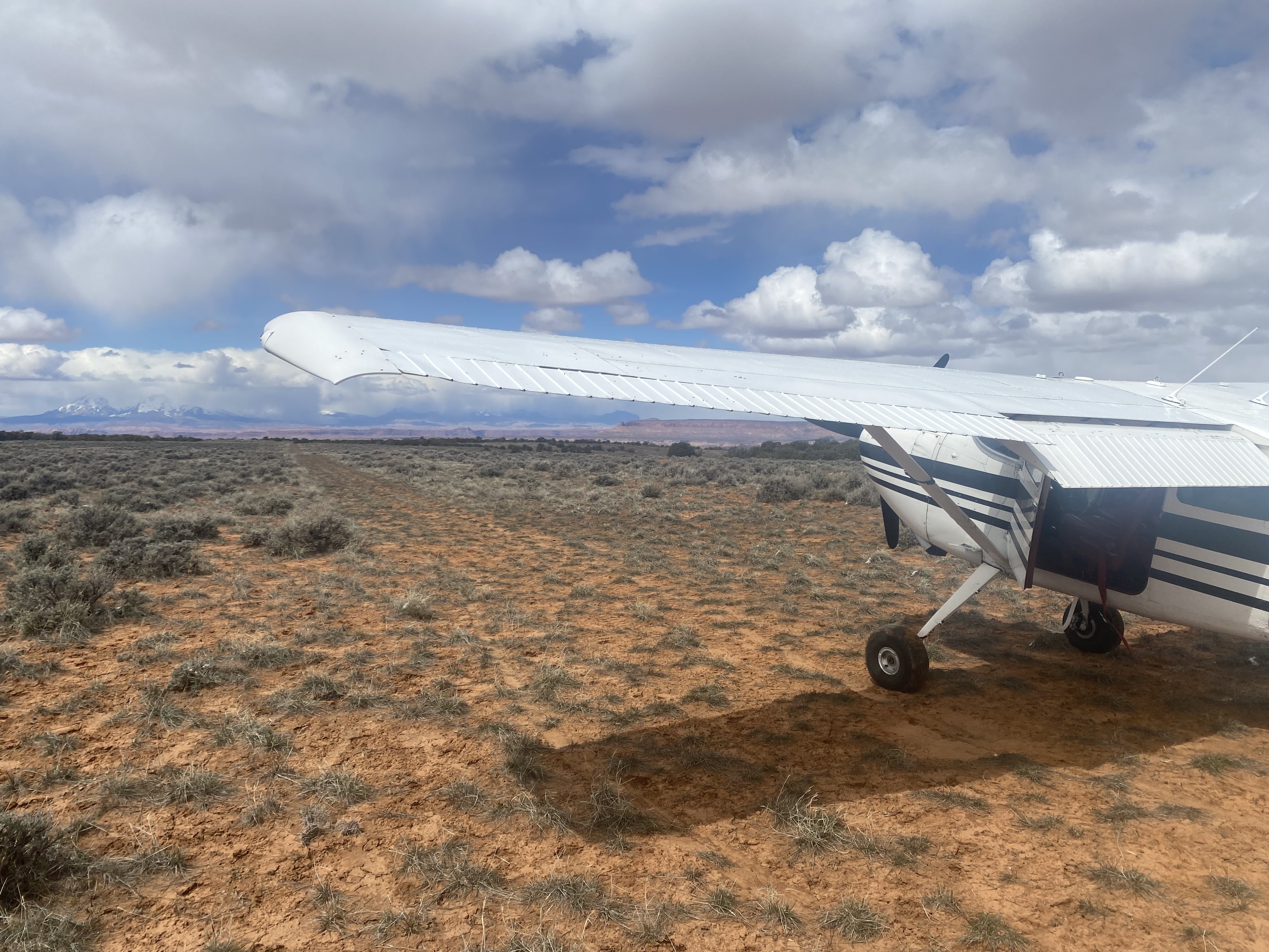
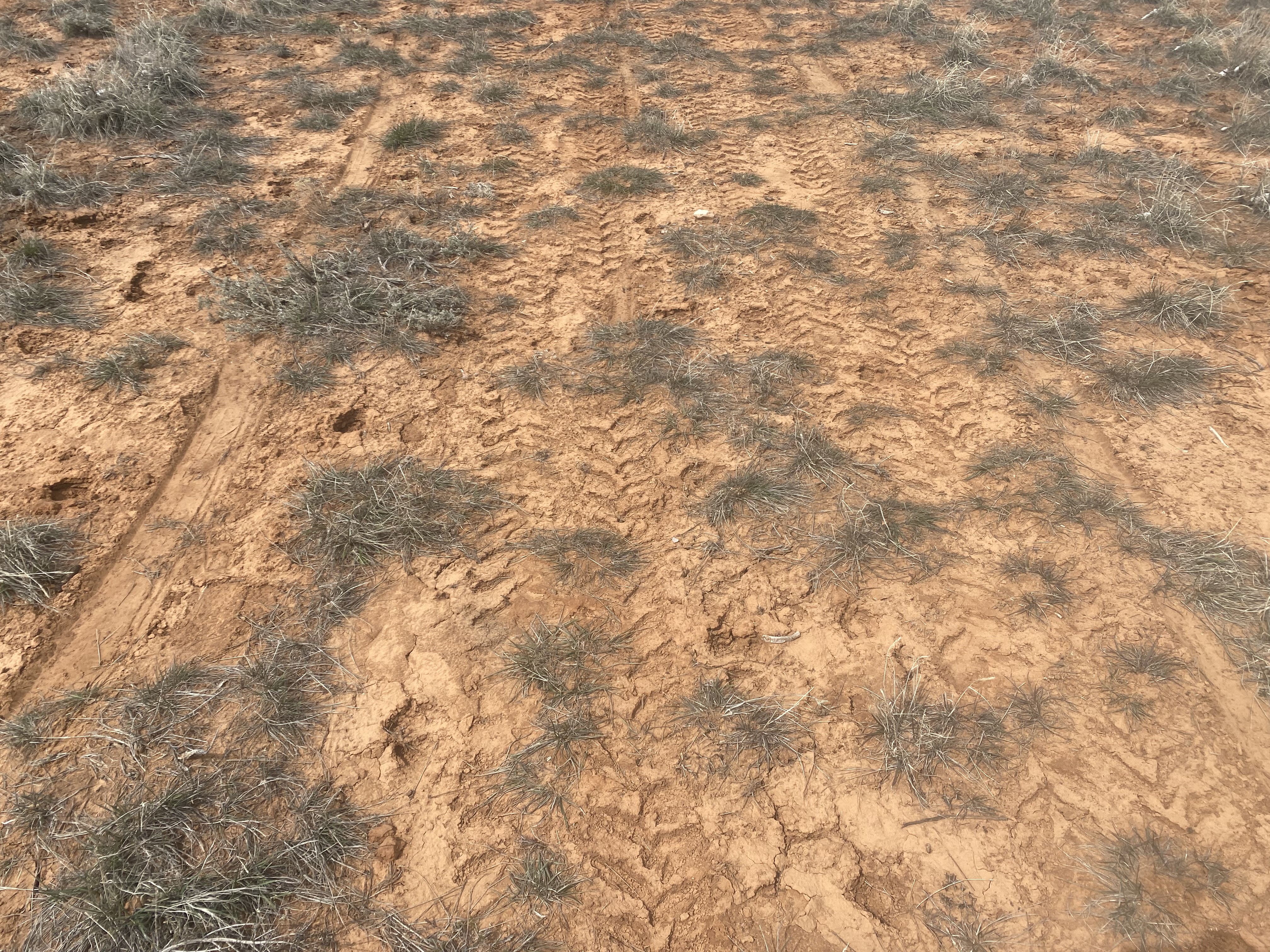
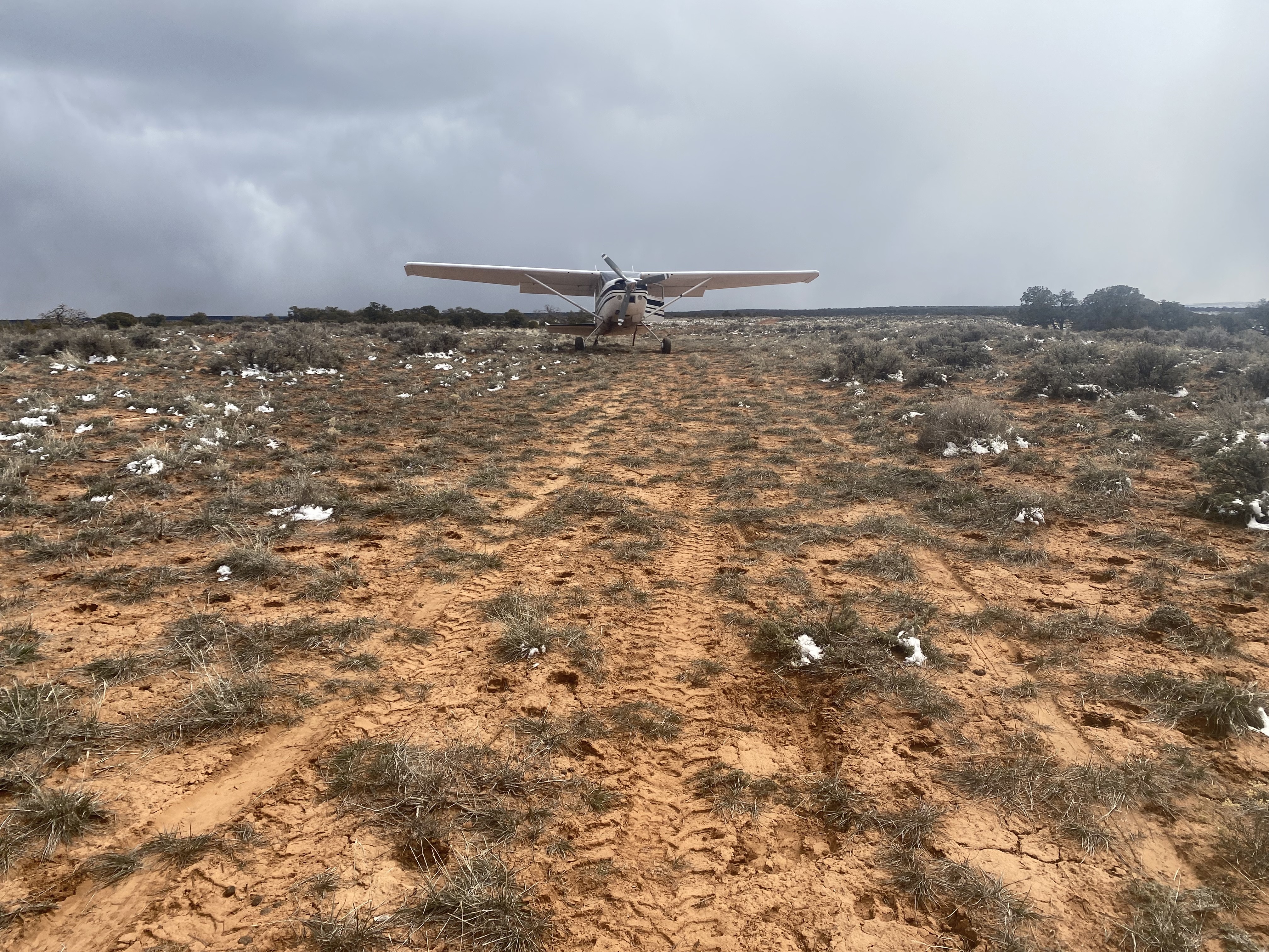
Landable with 20” (?) tires. Clumps of grass (see attached pictures). Wide open vistas. Would be windy with any weather. Bring tie-downs. Adjacent road would permit maintenance (which is needed). No windsock. This is a 360° video. Use your mouse, trackpad, tilt your mobile device or tablet, or use your finger on your mobile device or trackpad to view different perspectives. Video (takeoff) link: https://youtu.be/XzPUeLtOmLs In short, in my opinion, Dark Canyon North is a “keeper,” well worth visiting and possibly camping at.
Dark Canyon North's airstrip has been identified on USGS maps since 1980. You can view this historic map below or download it by clicking here.