Airstrip Info
| Frequency | 122.90 |
|---|---|
| Elevation | 4836 ft |
| Lat/Long |
38.7161, -110.2056 38° 42.966' , -110° 12.336' |
| Runway 9/27 |
1370 ft
x 30 ft
Dirt Rwy 27 Uphill 0.3% |
| Ownership | BLM |
Amenities
Weather
See more at the National Weather Center
Information updated May 17, 2021 @ 10:22pm
Gruver’s Mesa:
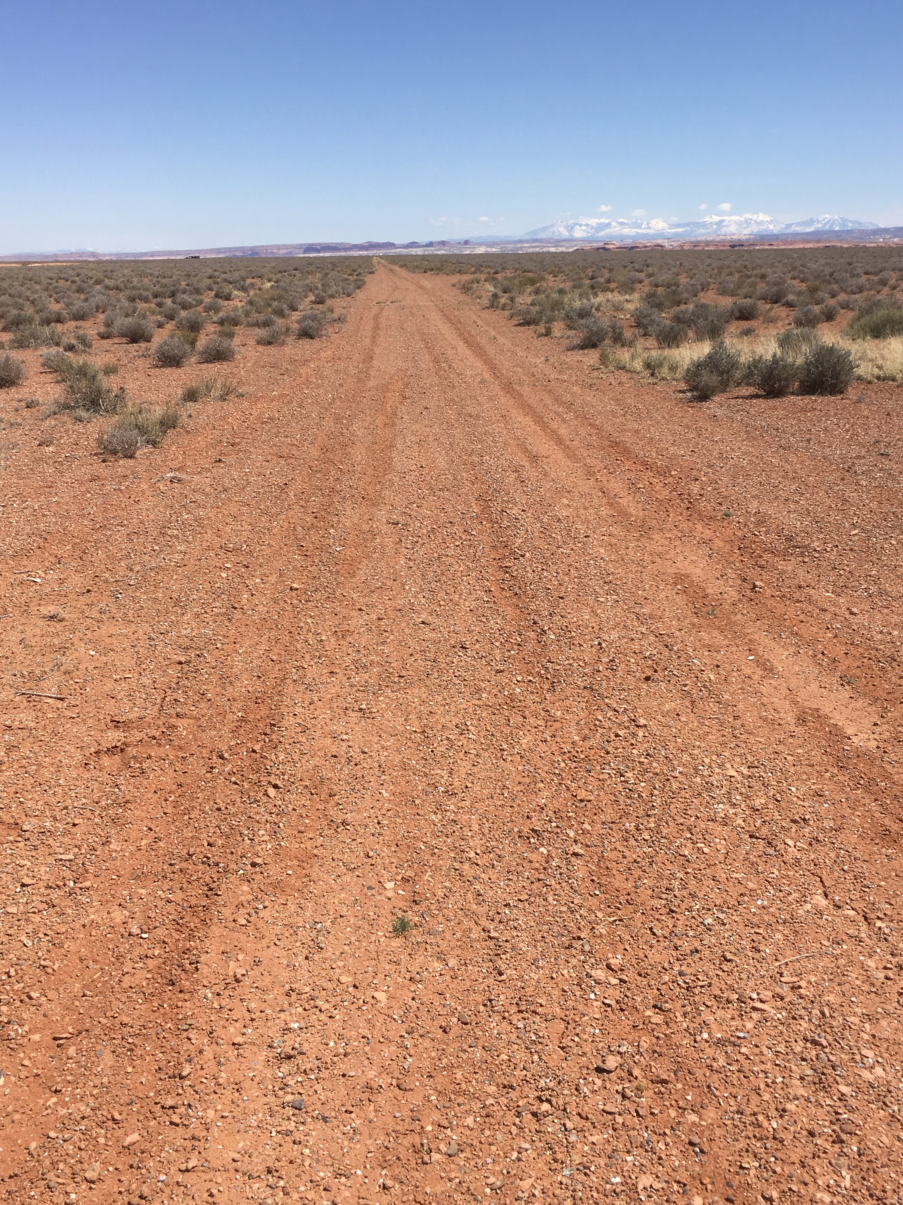
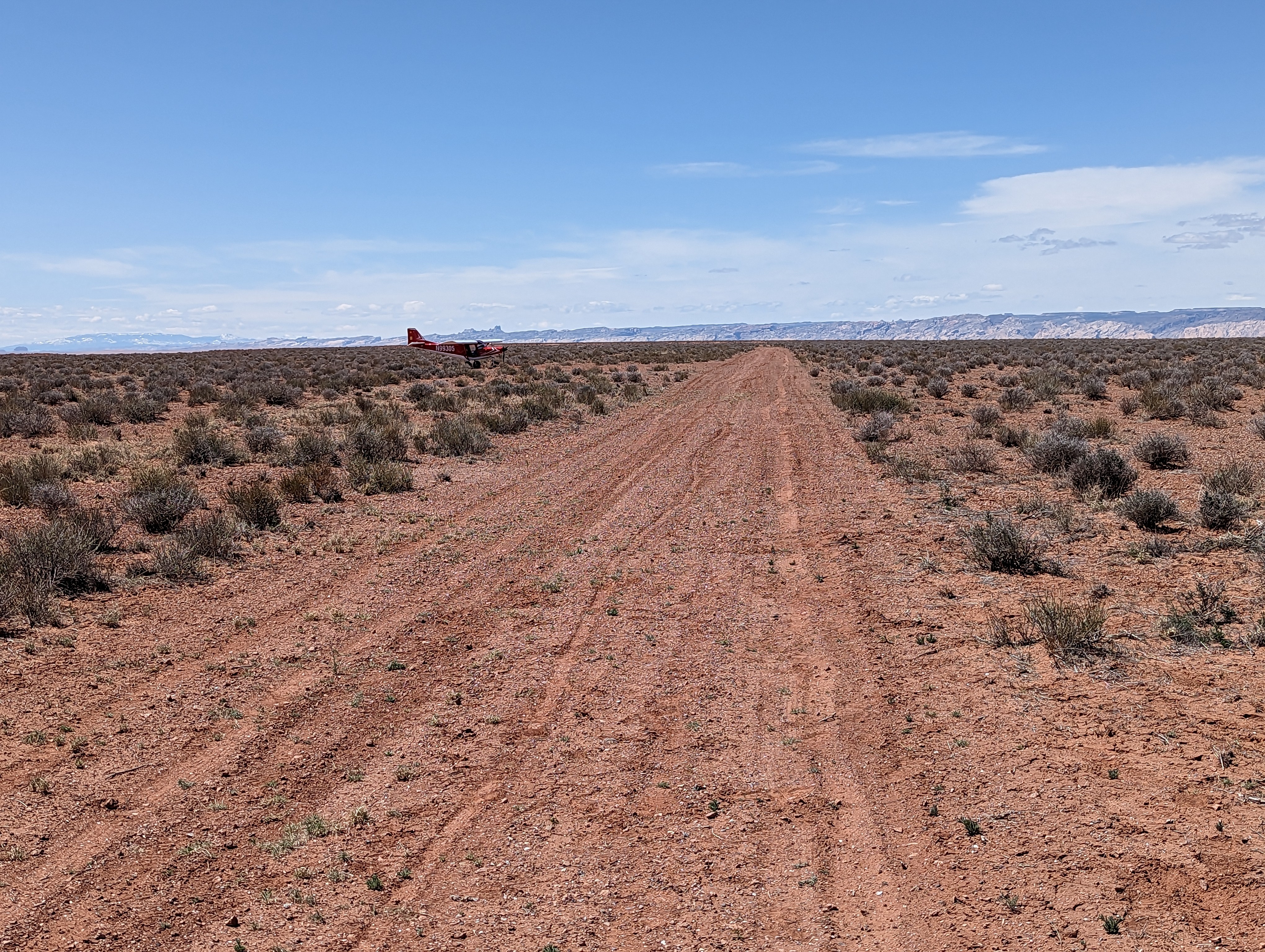
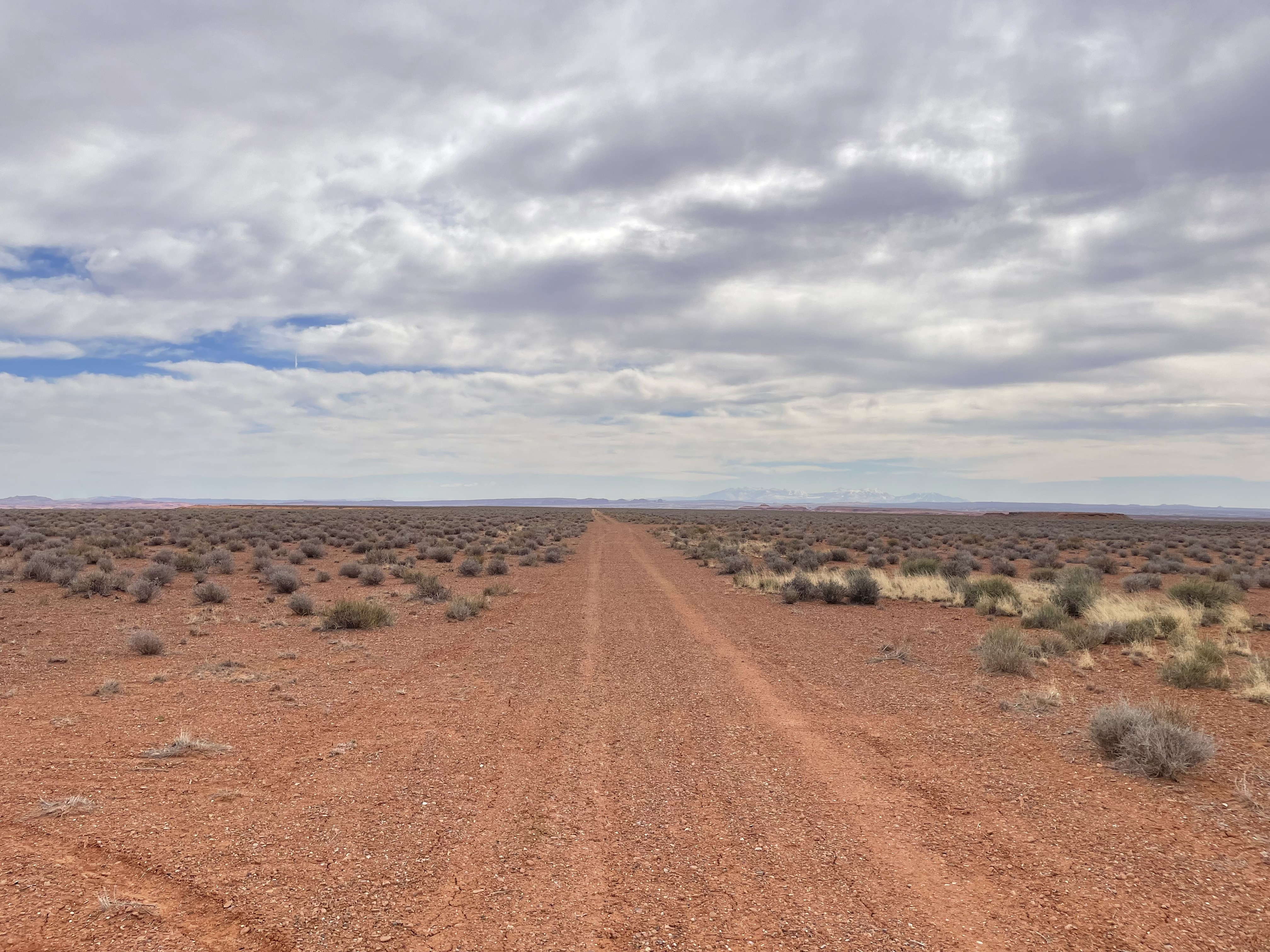
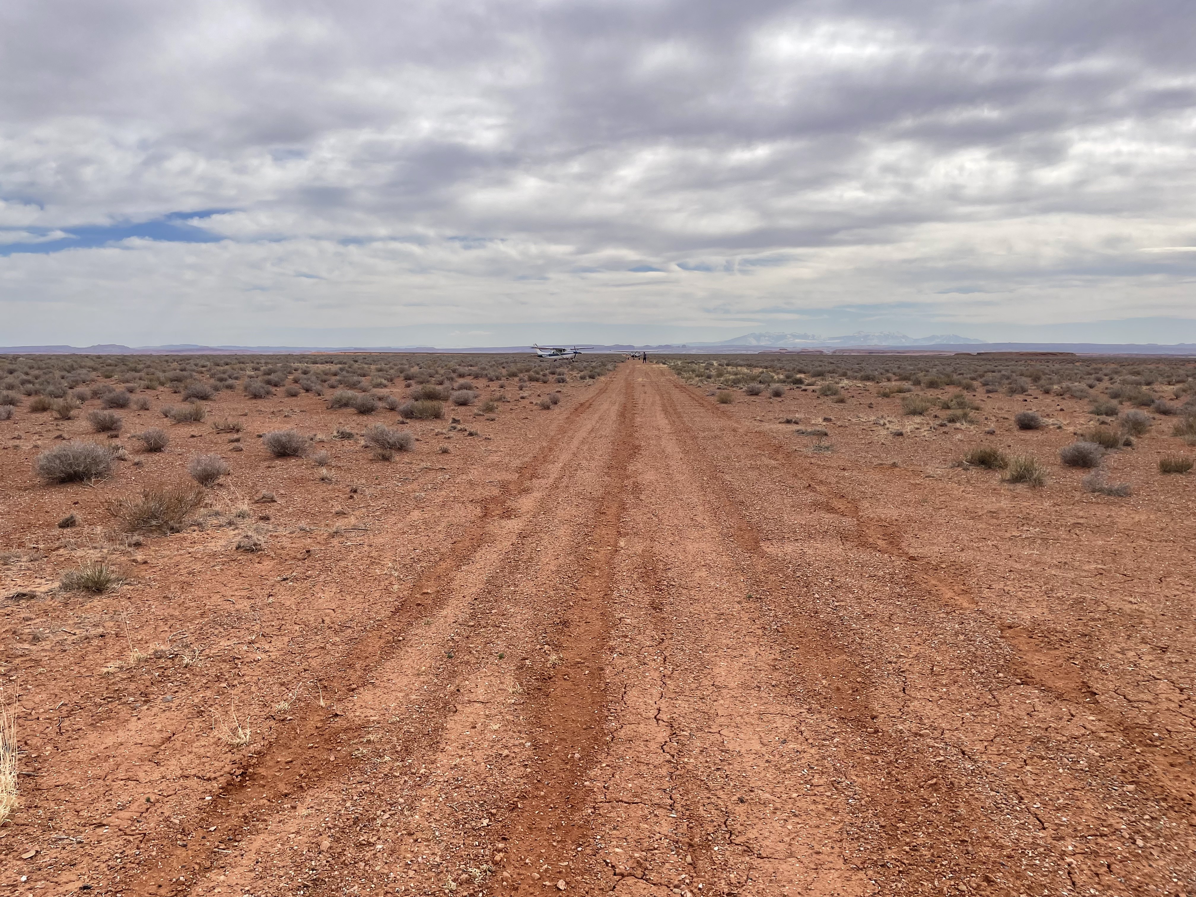
Description: The airstrip sits atop Gruver's Mesa just south of the San Rafael River.
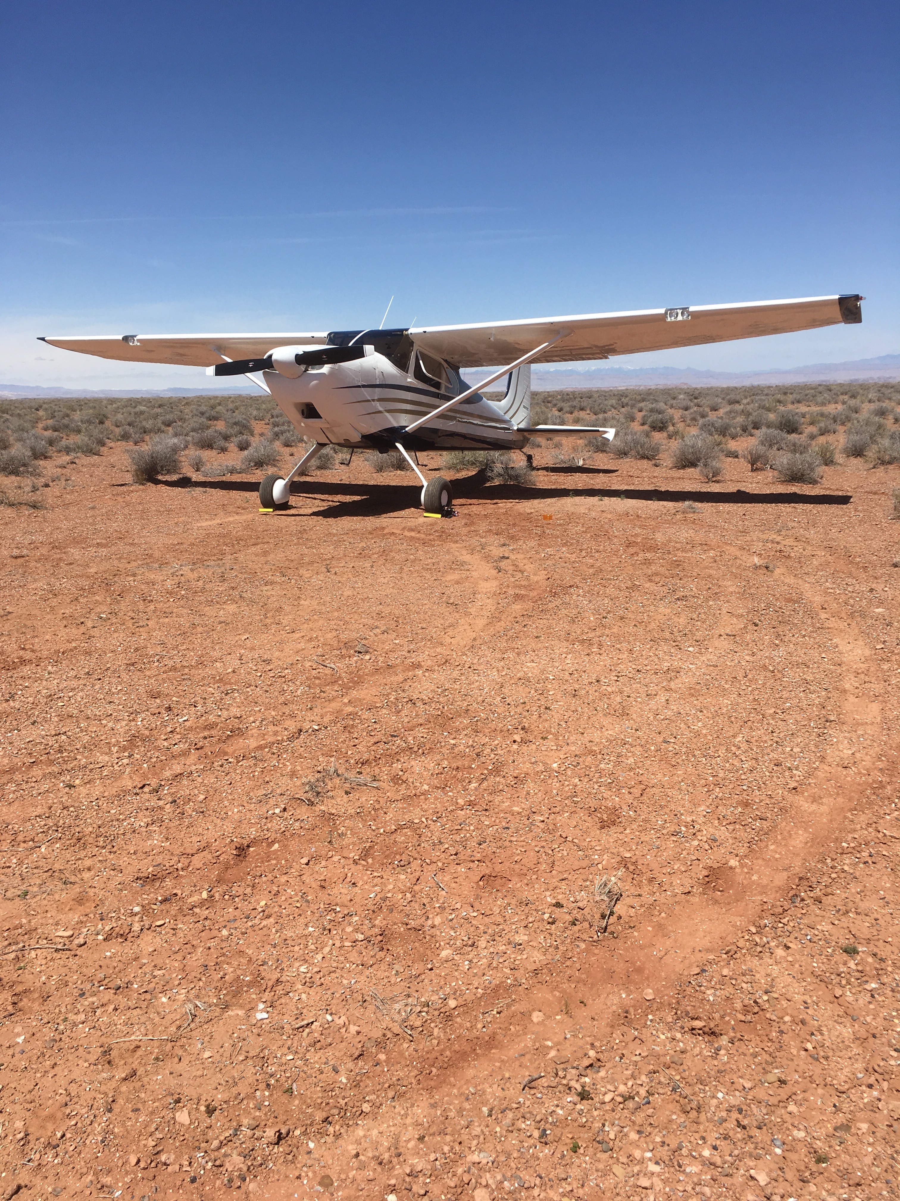
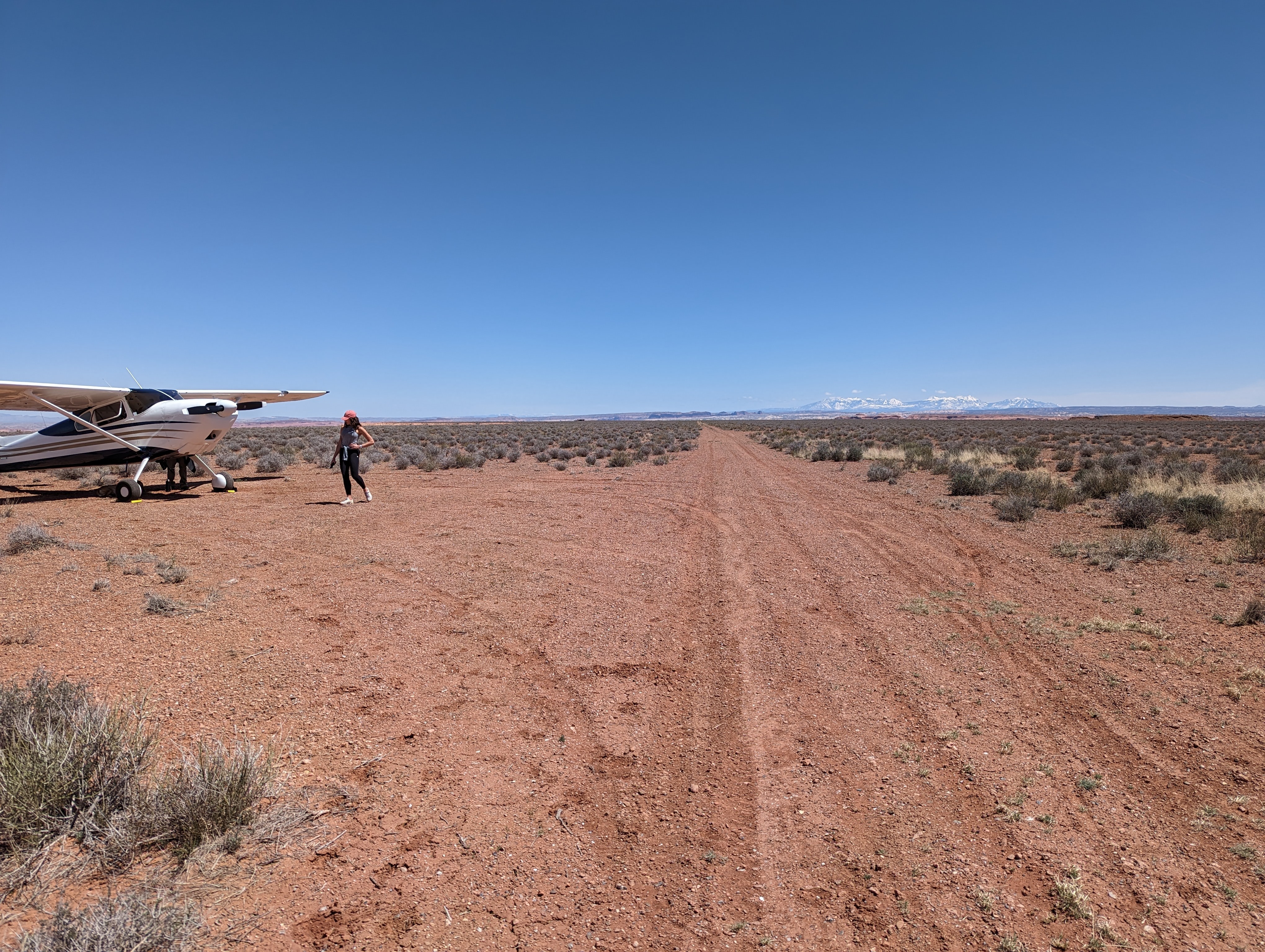
Runway: Runway 9/27 consists of a 1370’x30’ cleared section on the western end of a two-track road (the full runway length is 3500', including the uncleared portion). Runway 5/23 is 2200' and is overgrown and not recommended.
Approach Considerations: The airstrip sits atop a mesa and approaches from any direction are unobstructed.
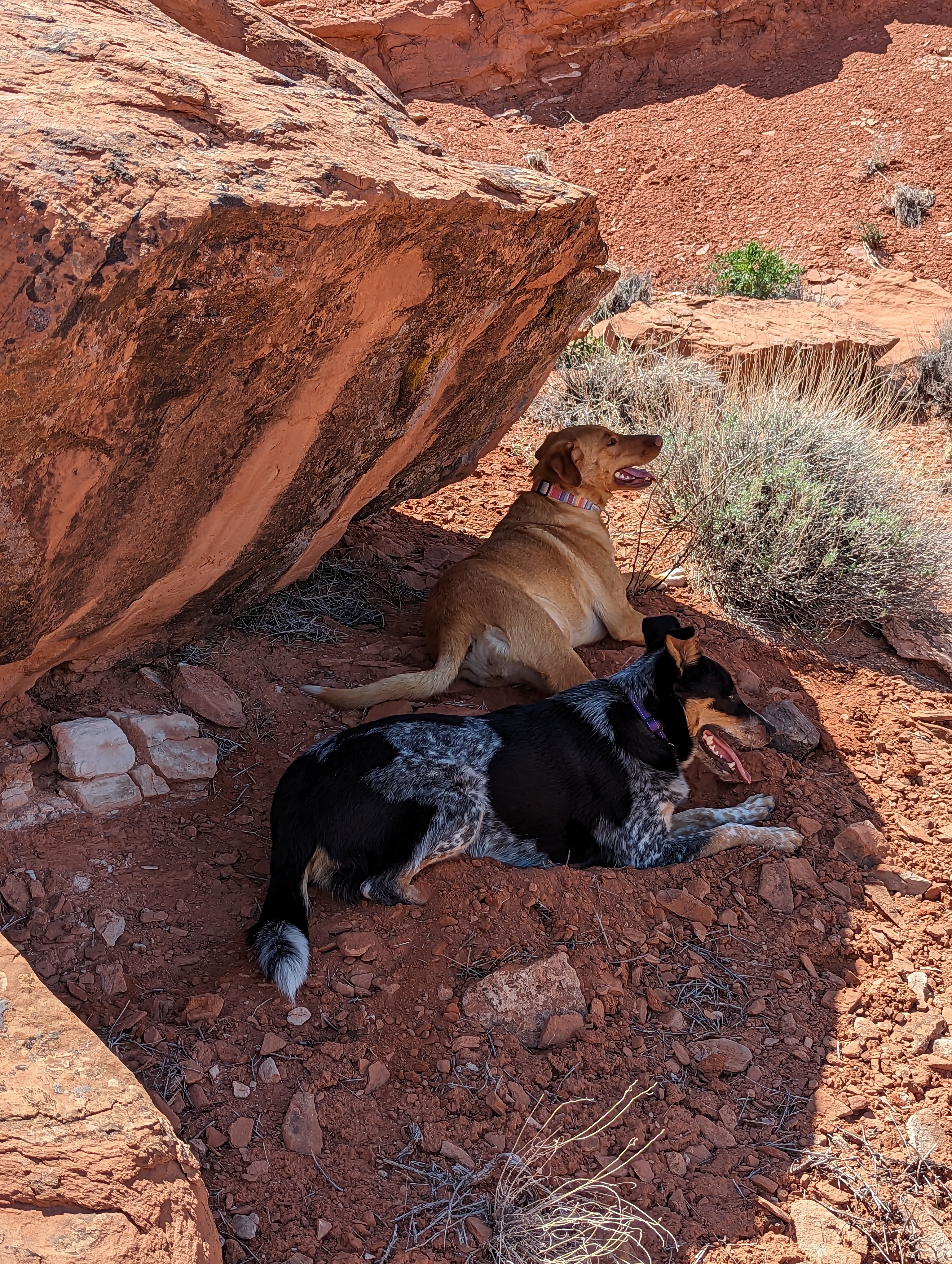
Amenities: Primitive camping is available on the strip. No formal amenities. The location offers good access to several slot canyons nearby. Moonshine Wash and Three Finger Canyon are two of them. Via the slot canyons, the Green and San Rafael Rivers should be accessible as well.
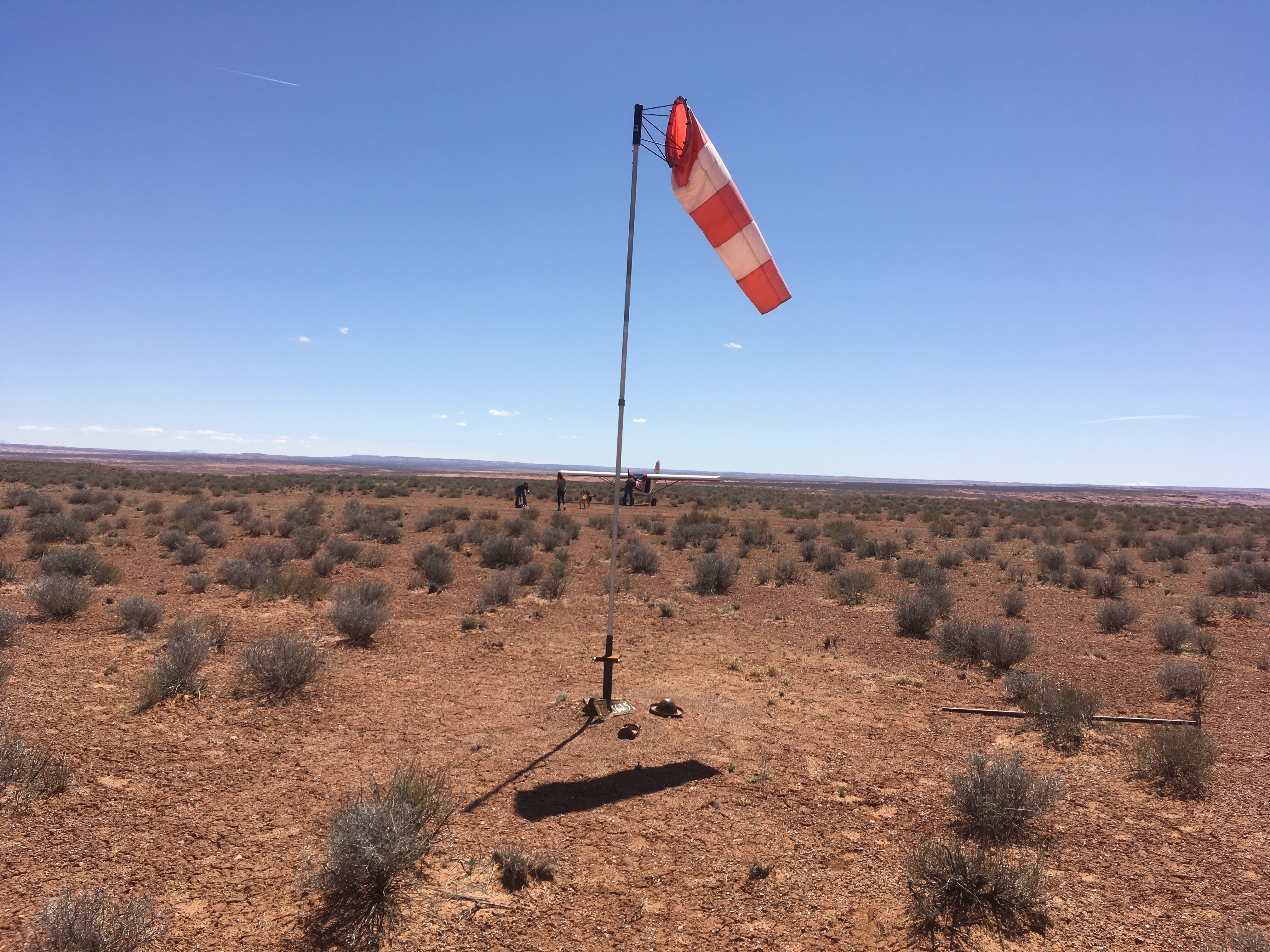
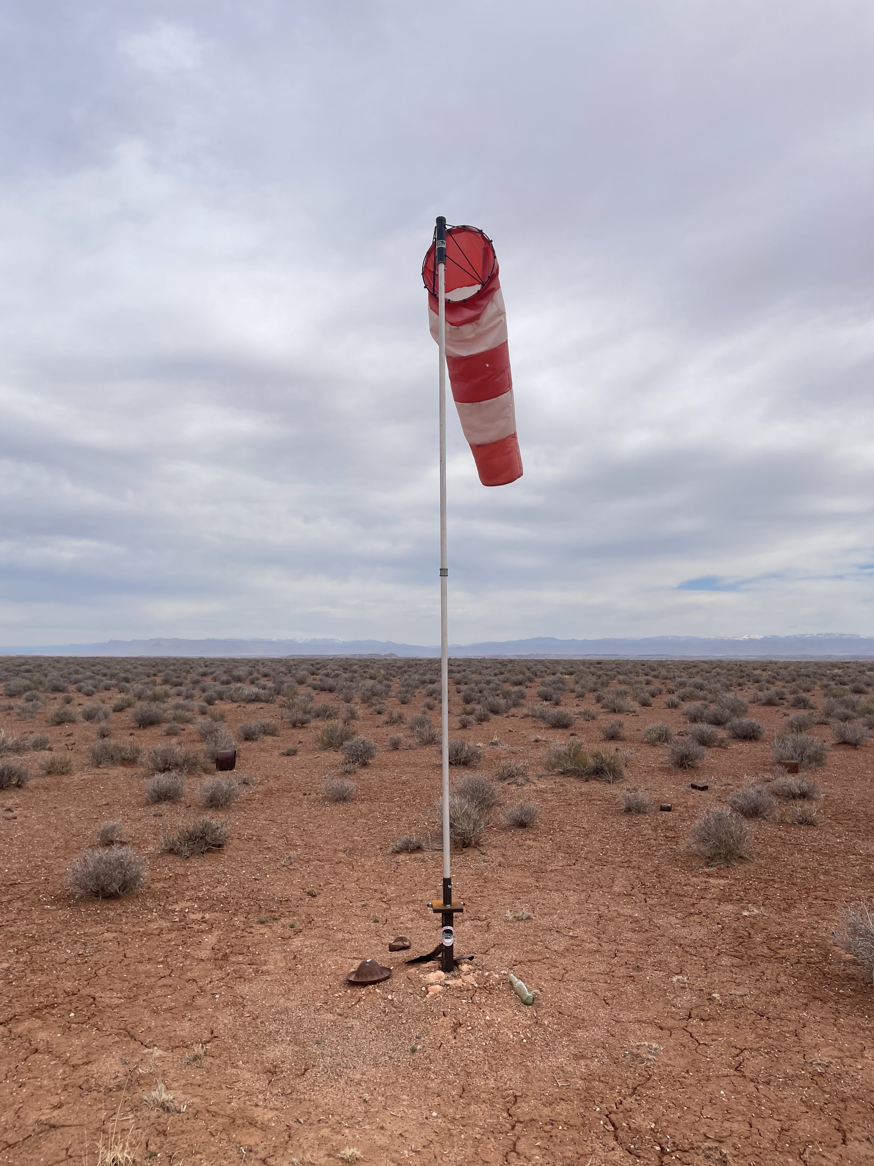
Windsock: No
Beautiful spot with views in all directions! Great hiking possibilities as well. Runway and parking are slightly soft, although dry, from recent moisture. I did notice a pipe, about 2" diameter steel, protruding from the ground by about twelve inches. Its just a few feet beyond western end turn around/run up. Pipe is located on south side of two track exiting to the west.


We haven't written a history for this airstrip yet. If you would like to provide us with some information about this strip, please contact us today!