Airstrip Info
| Frequency | Unknown |
|---|---|
| Elevation | 6300 ft |
| Lat/Long |
38.5933, -108.9145 38° 35.5977' , -108° 54.8718' |
| Runway |
|
| Ownership | BLM |
Weather
See more at the National Weather Center
We haven't written a description for this airstrip yet. If you would like to provide us with some information about this strip, please contact us today!
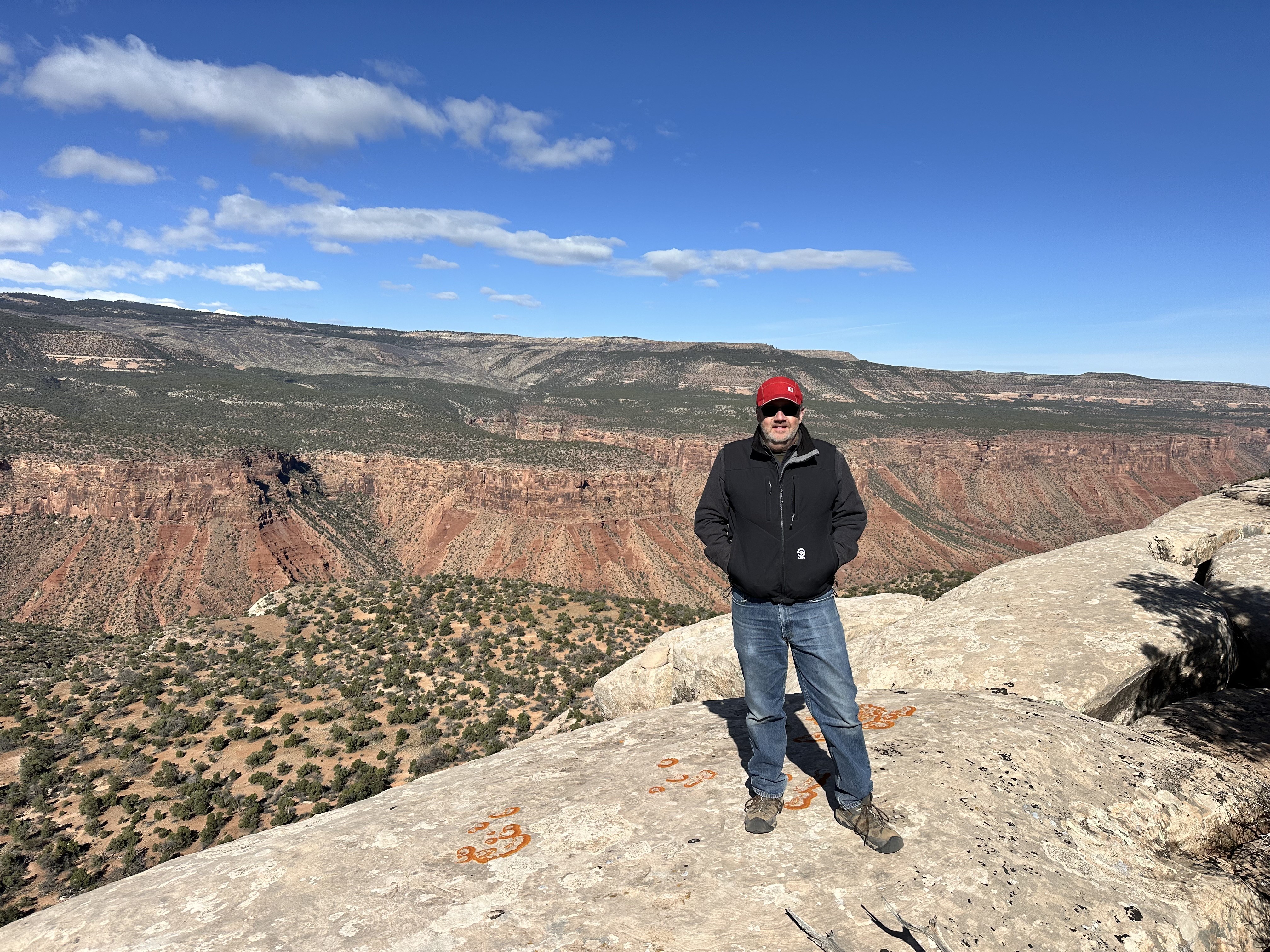
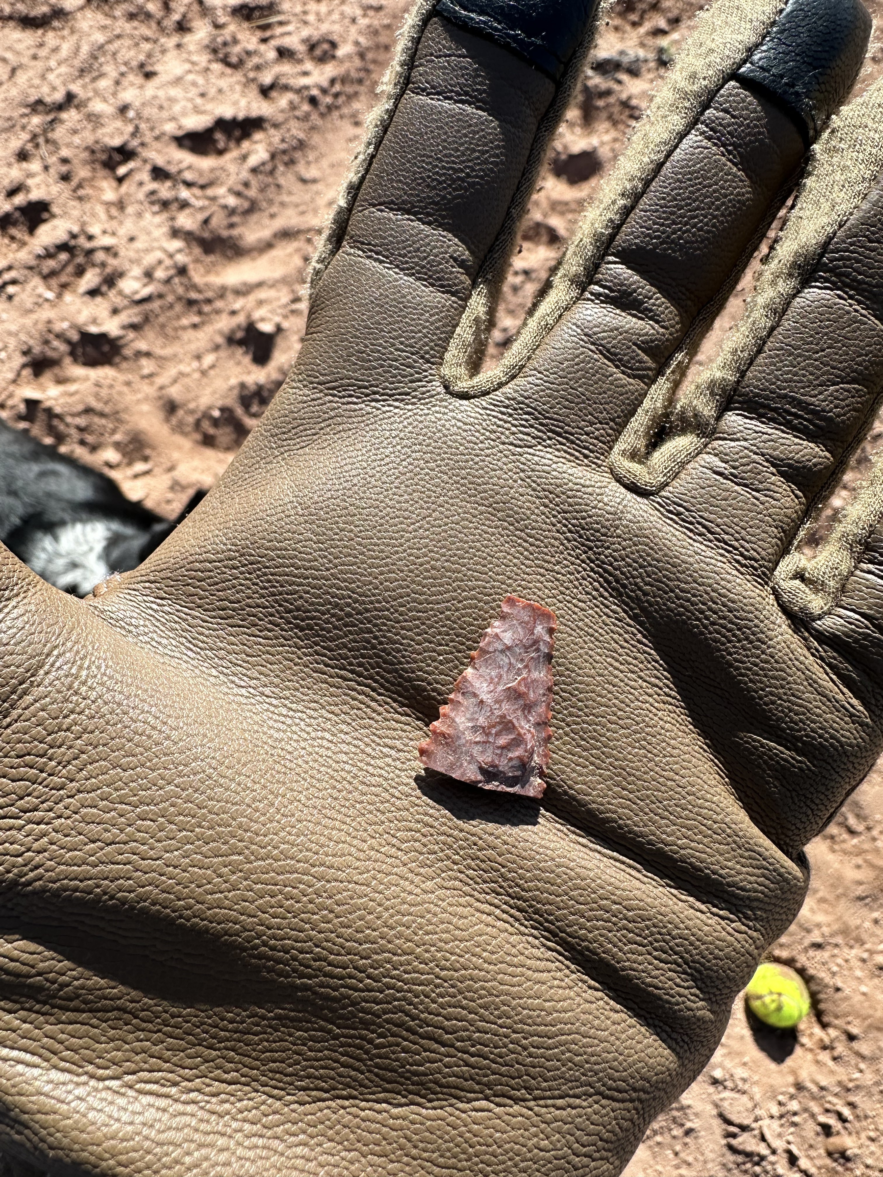
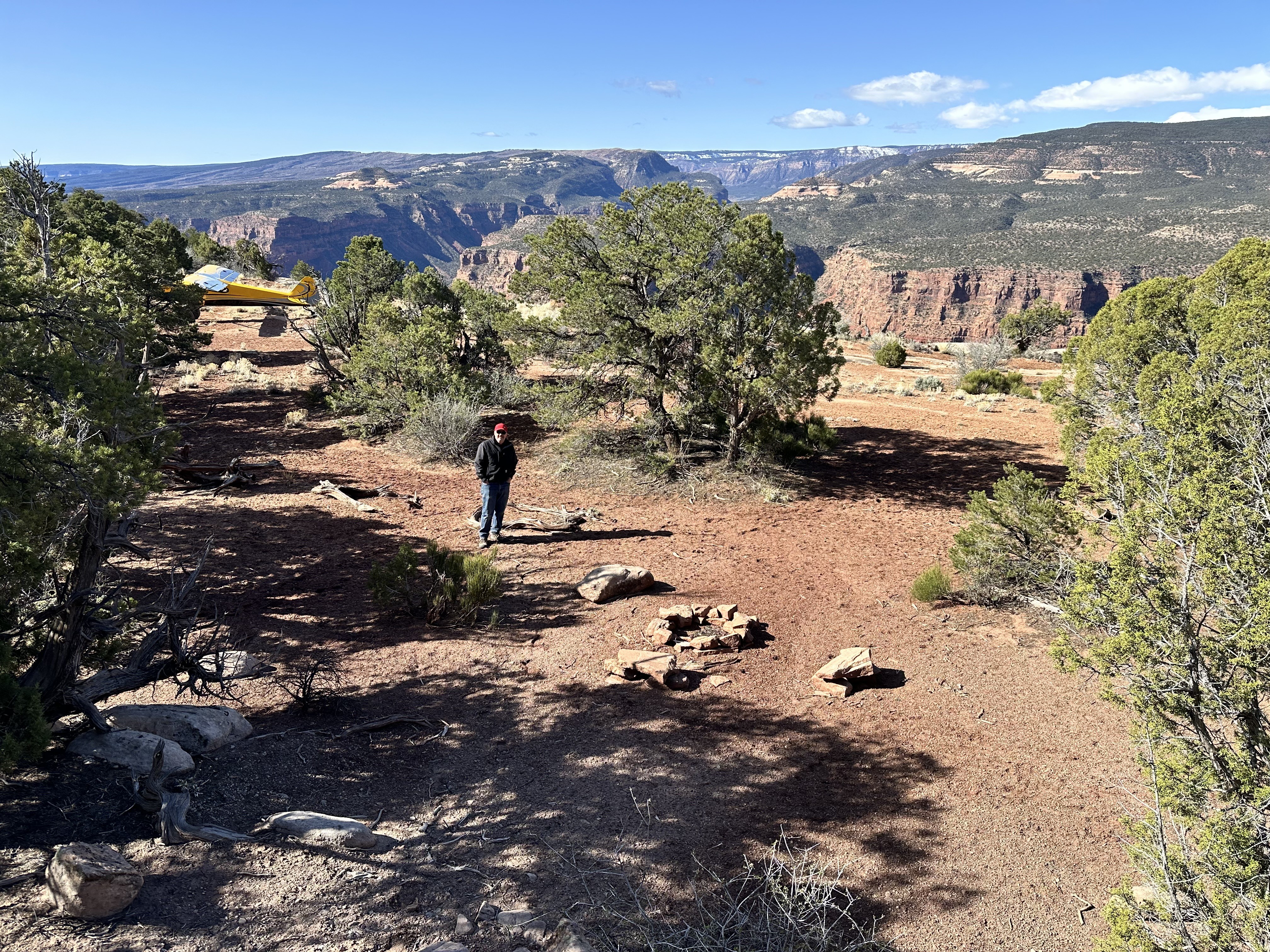
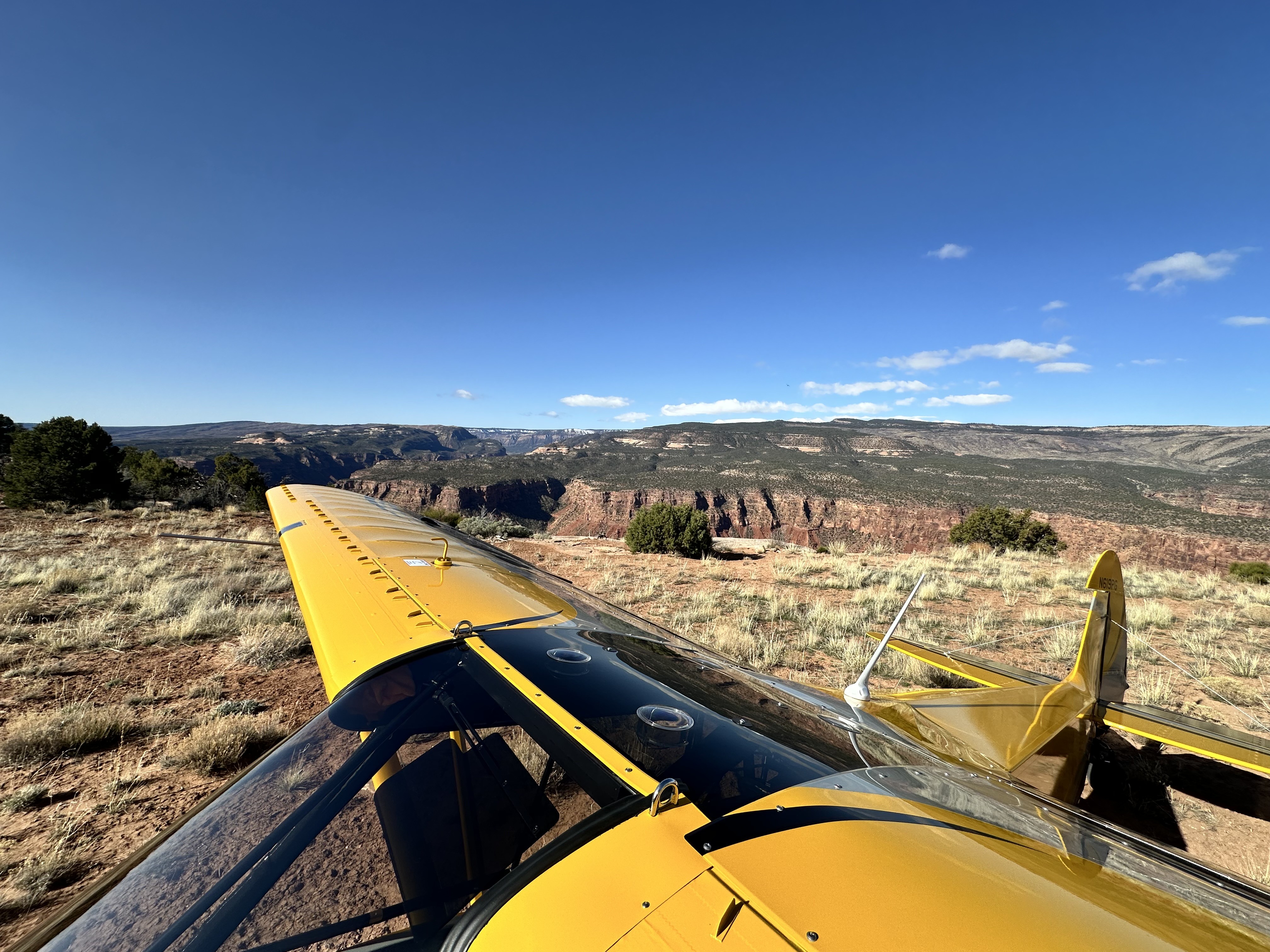
Rustic strip, probably 800' long. Best landing is towards the west, as the strip goes uphill to the west. Narrow strip with cedars on both sides. Small parking area at the western edge of the strip on the edge of the cliff, but it was big enough for our 3 planes. Nice campsite with a fire ring tucked in the trees at the on the north end of the runway, just above the cliff. Old uranium mining paraphernalia and some old mine shafts within 200 yards of the strip which were cool to explore. Beautiful view down into Gateway Canyon.
We haven't written a history for this airstrip yet. If you would like to provide us with some information about this strip, please contact us today!