Airstrip Info
| Frequency | 122.90 |
|---|---|
| Elevation | 4748 ft |
| Lat/Long |
38.9834, -113.3666 38° 59.004' , -113° 21.996' |
| Runway All |
10000 ft
x 3000 ft
Hardpan |
| Ownership | BLM |
| BLM District | West Desert |
Weather
See more at the National Weather Center
Information updated January 16, 2025 @ 10:17am
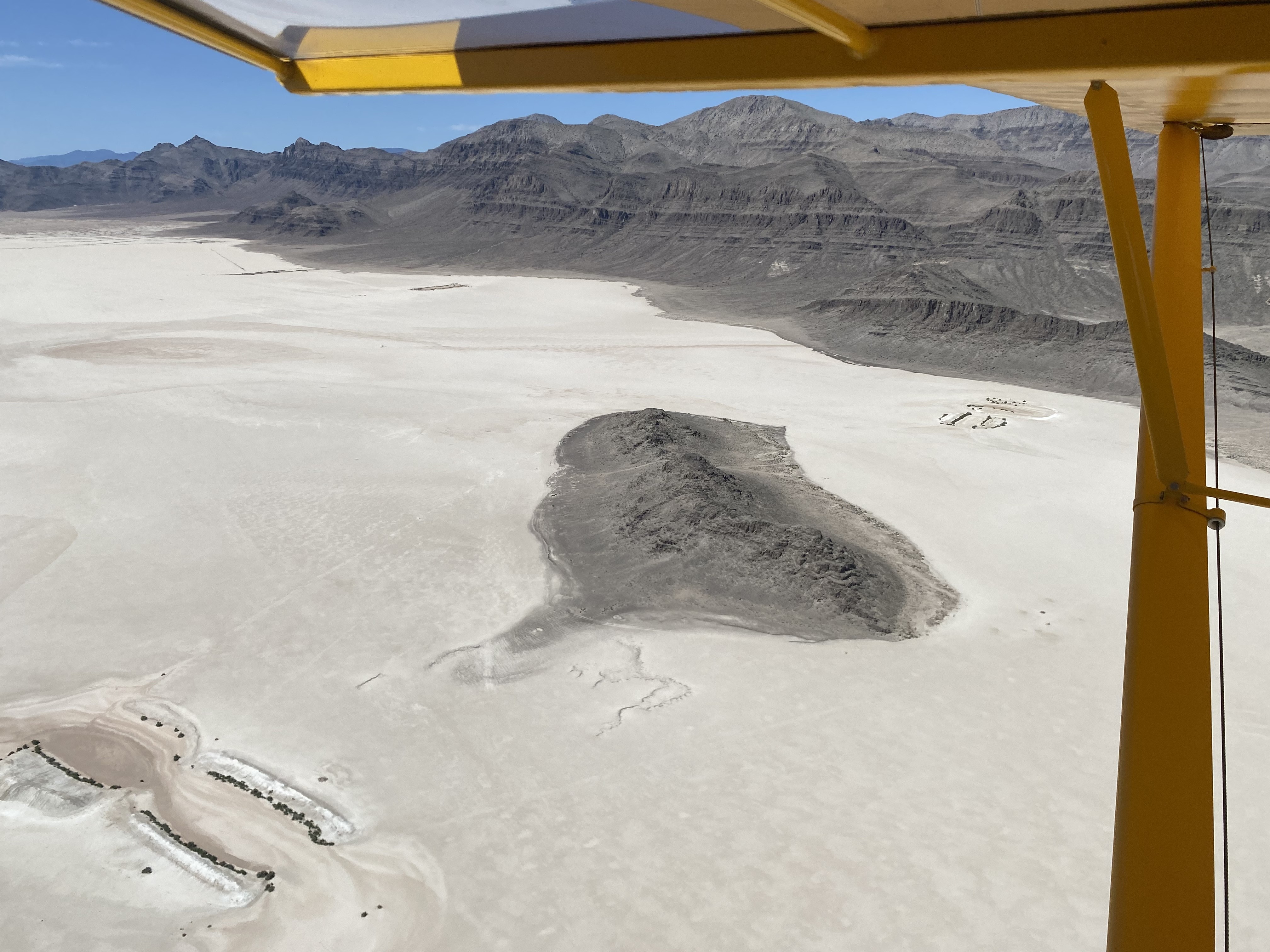
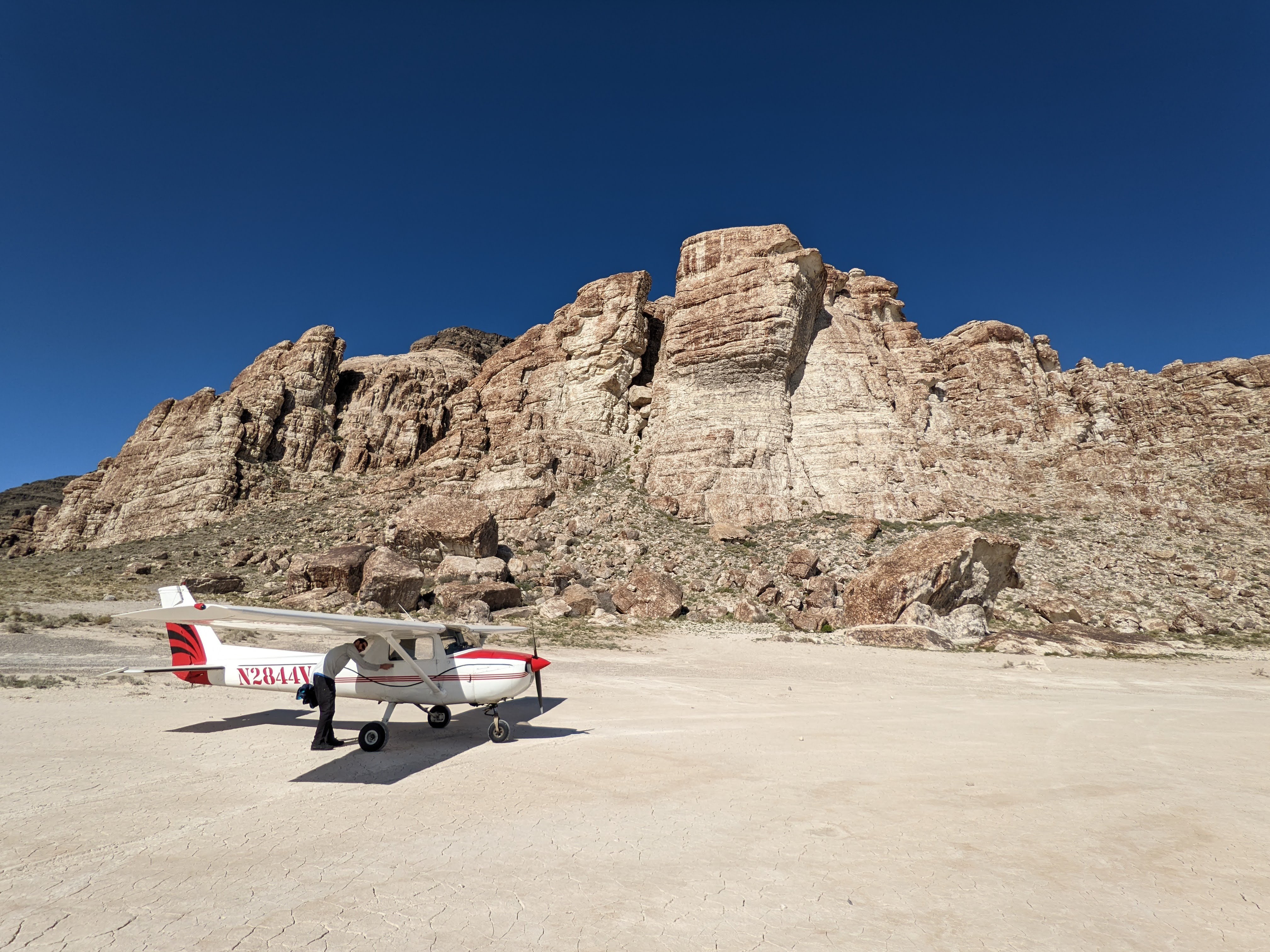
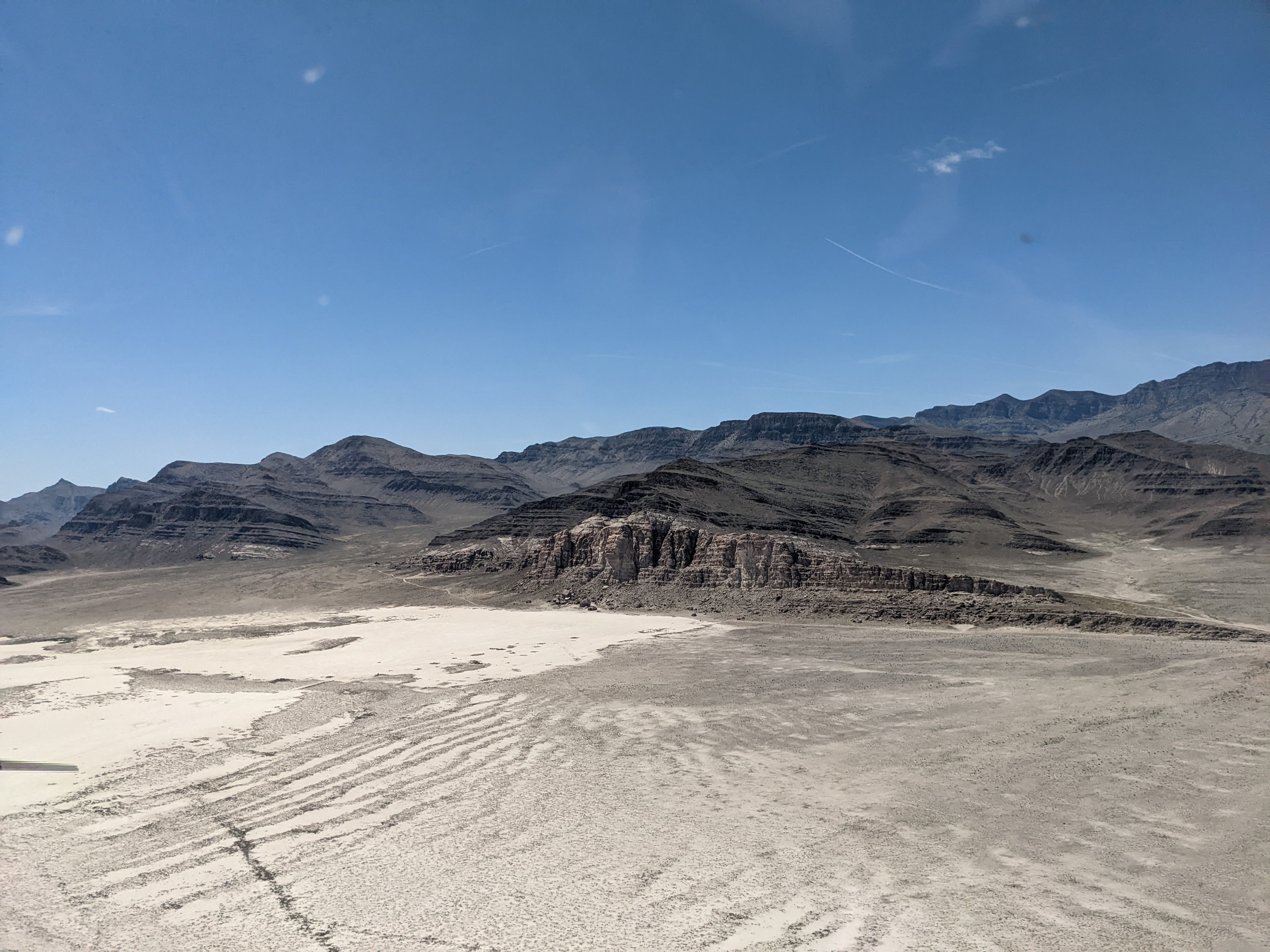
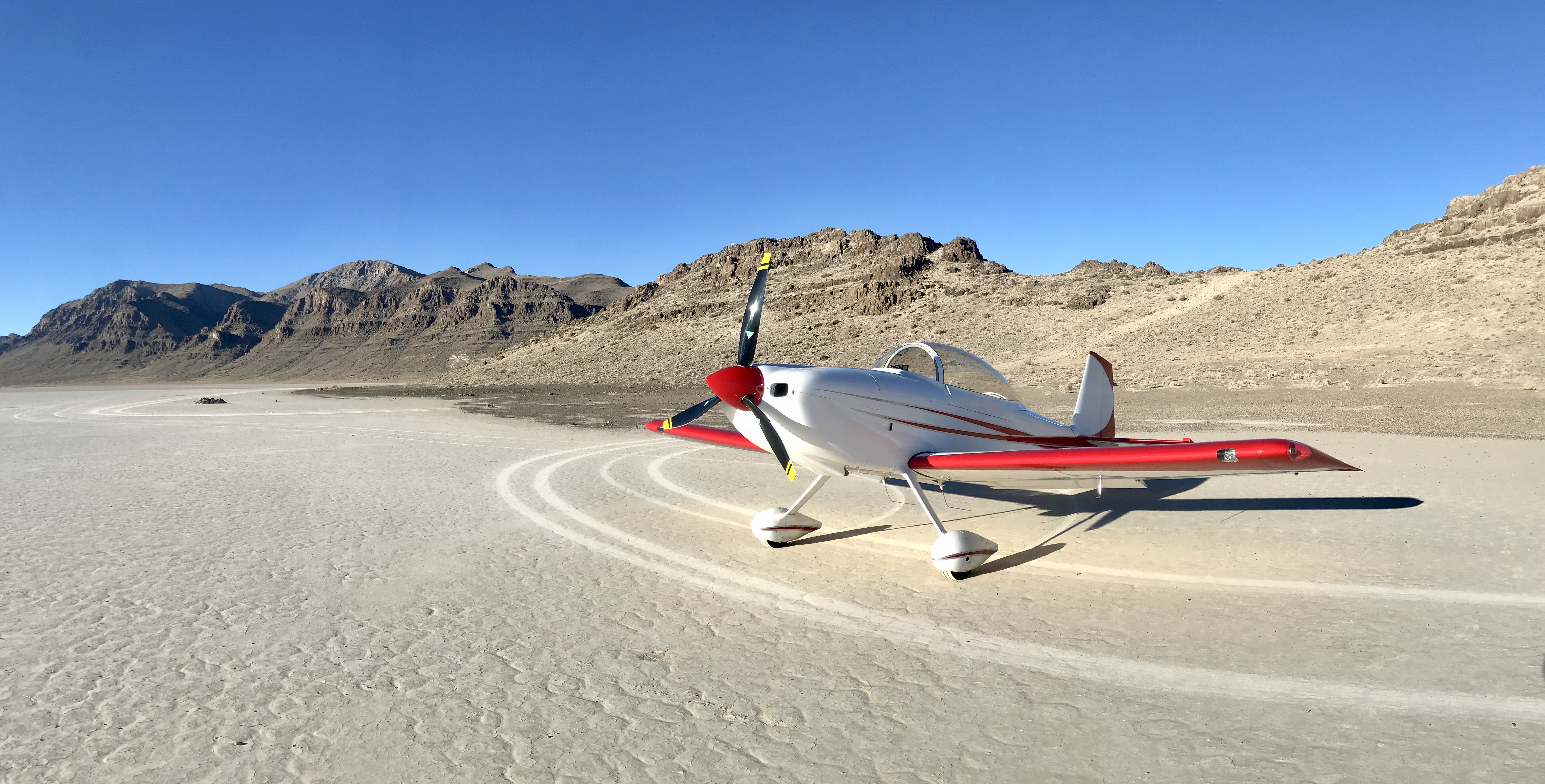
Description: The Tule Valley Hardpan (aka Ibex) is a large dry lake bed just west of Sevier Dry Lake. Ibex is one of the three back country airstrips included in the State's "FLY UTAH Passport Program". To learn more, head to their website.
The Ibex Hardpan Briefing guide is available here.
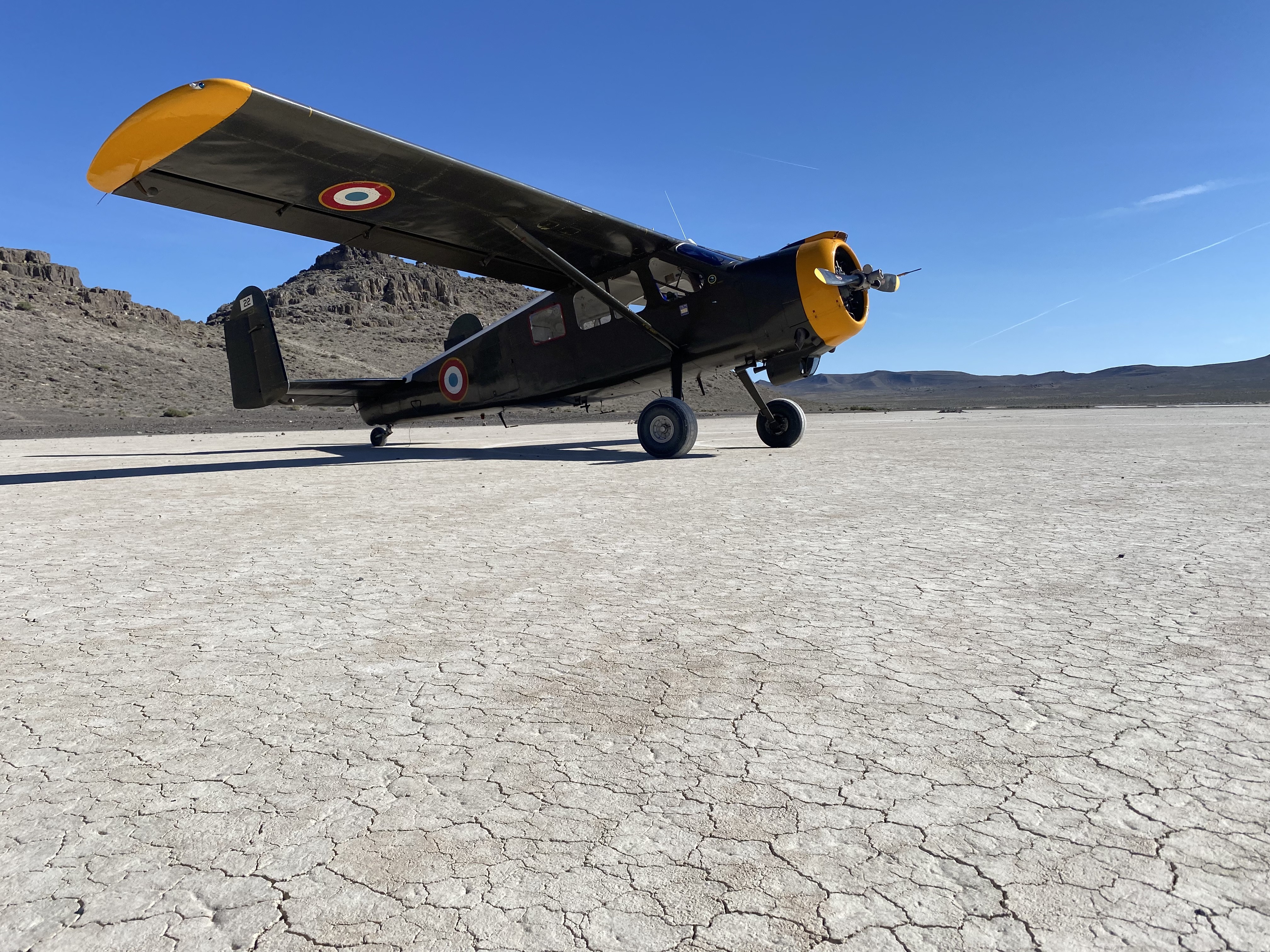
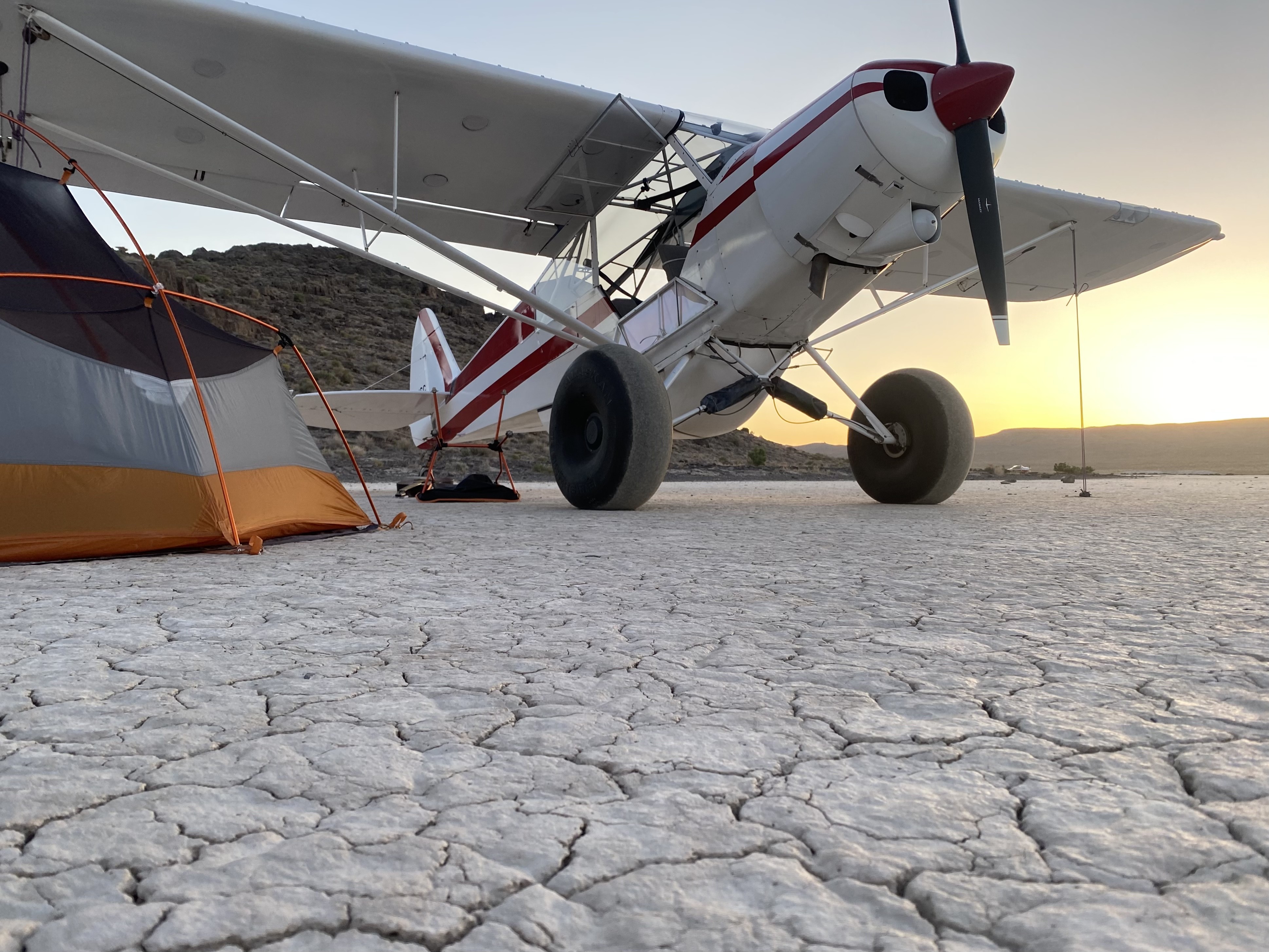
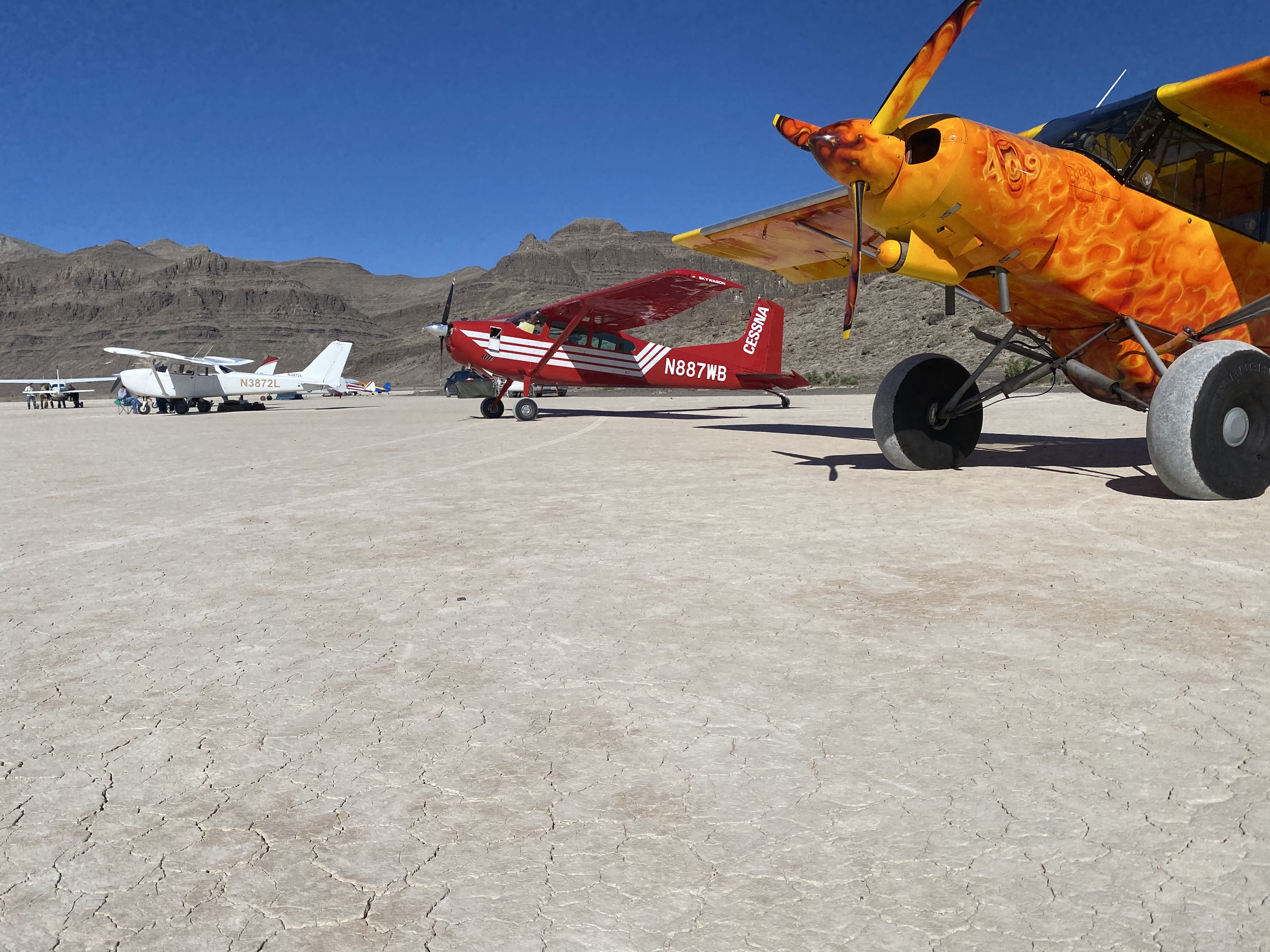
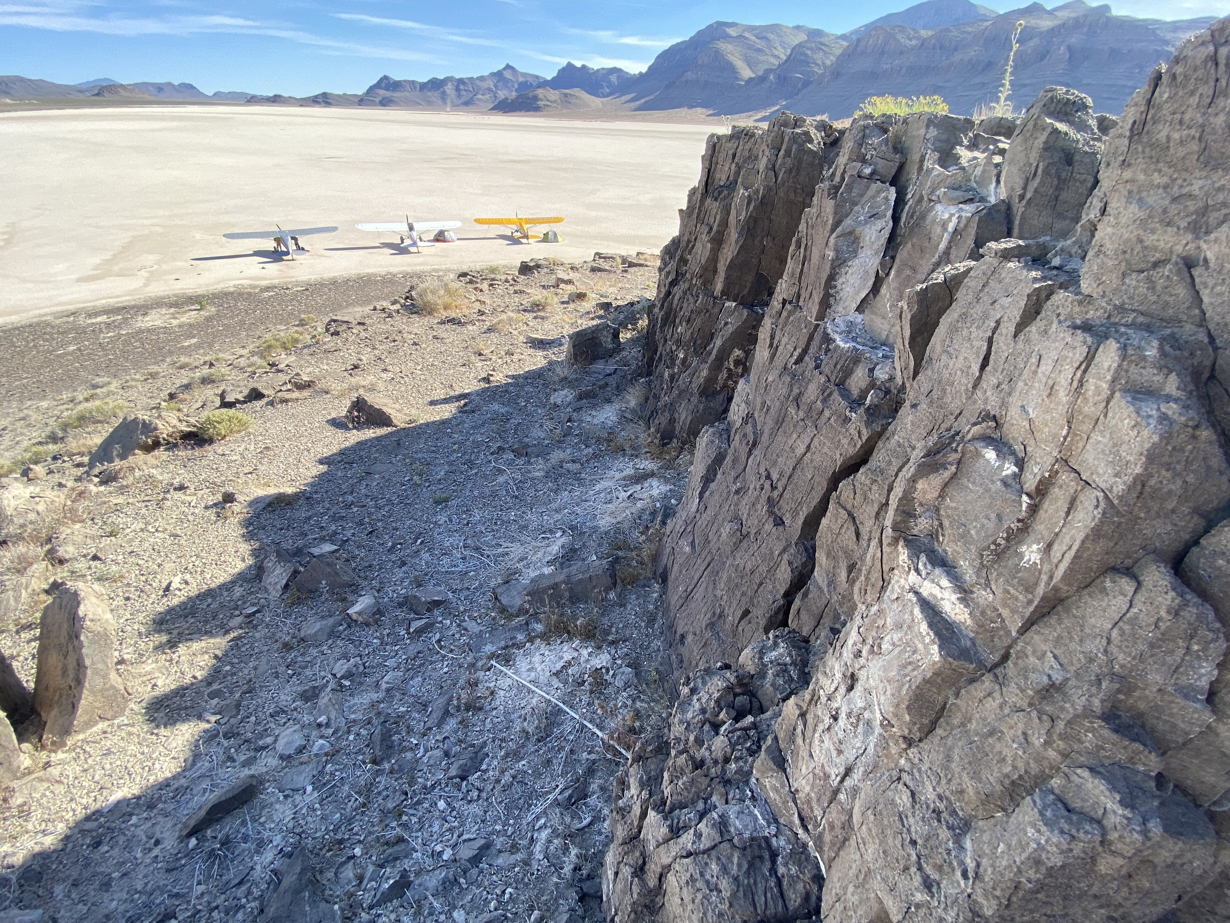
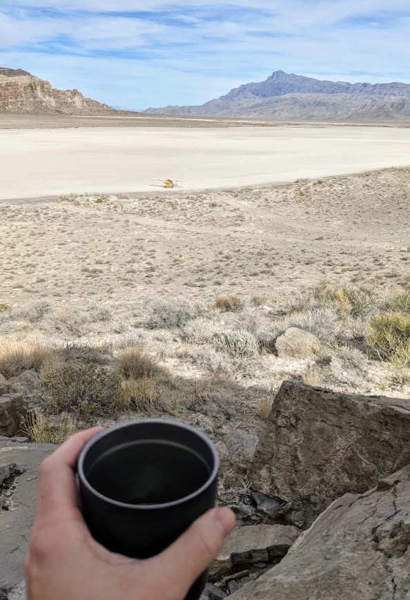
Runway: Generally pilots land north/south on the area south of the island that rises about 200 feet above the hardpan.
Approach Considerations: Rapidly rising terrain west of the landing surface.
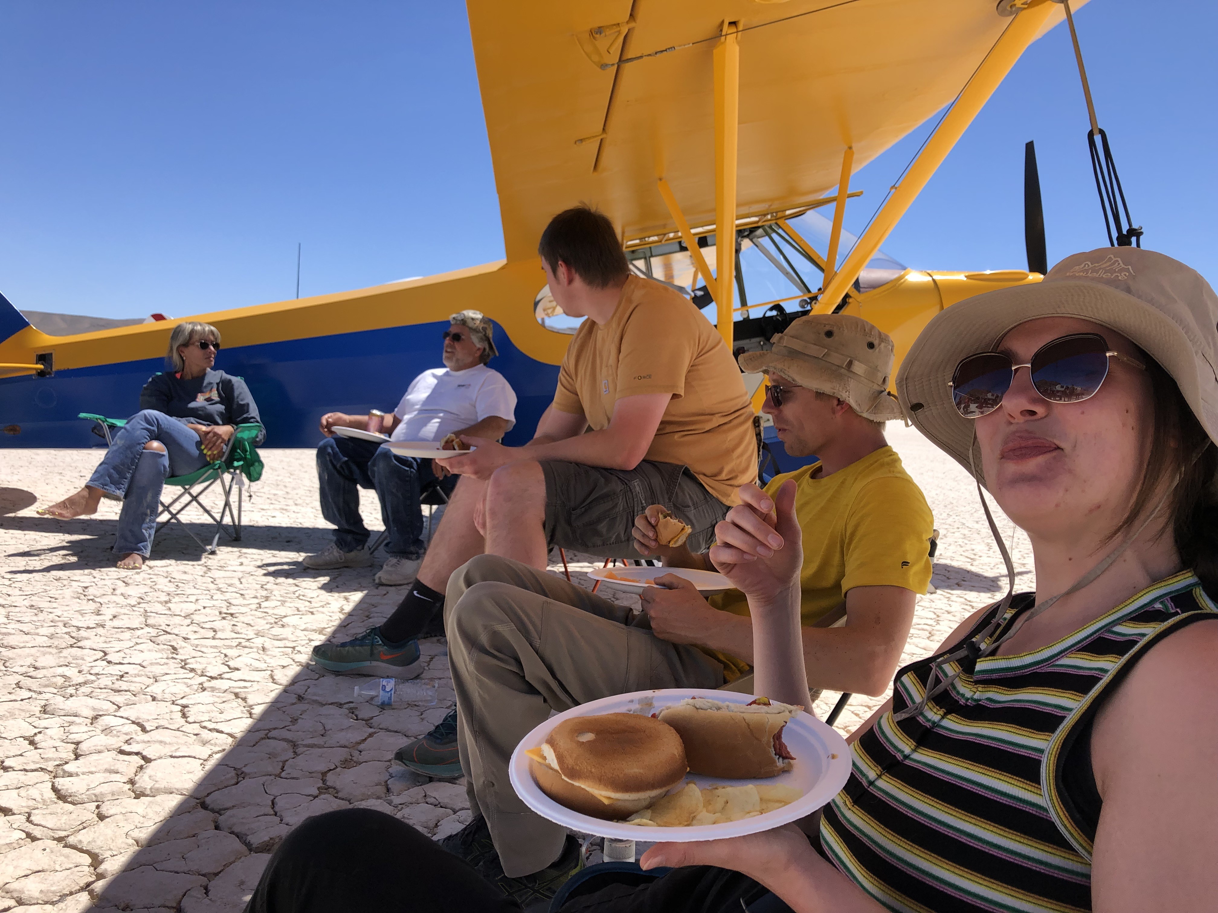
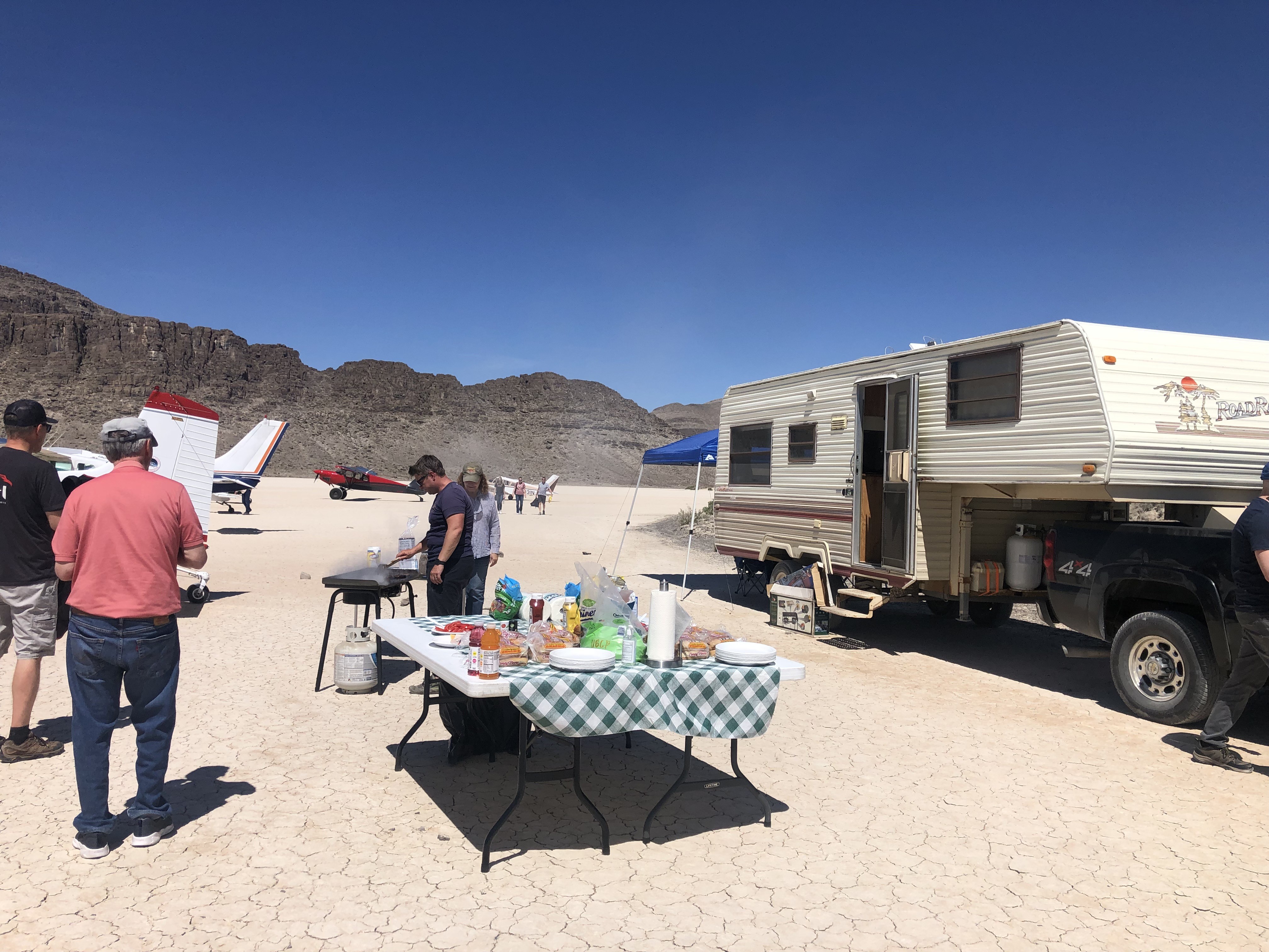
Amenities: None
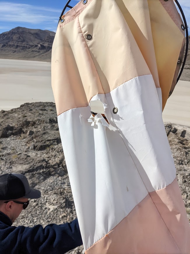
Windsock: Yes, located atop the island.


Hardpan is in great shape for this weekend’s fly-in!
@Charles - my understanding is that the connection between the windsock frame and pole broke. Josh/Roy/Steve are working on getting it fixed.
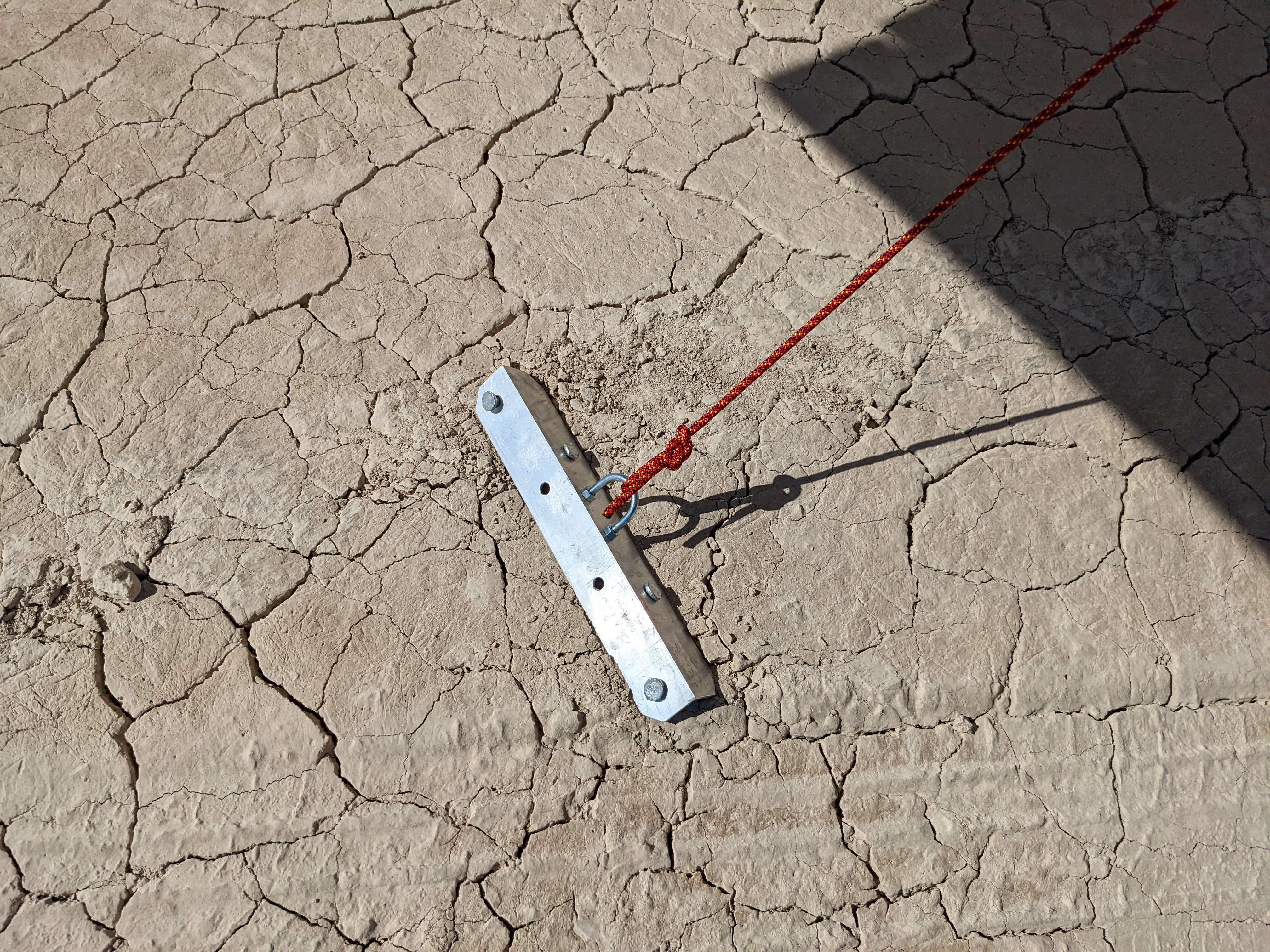
4 years agoCircled around the Island and could not find a wind sock. Rock hard smooth lakebed. Look out for occasional large rocks in the shape of small rocks. Hammered in some anchors so the plane wouldn't blow away while rock climbing for a few hours. Awesome trip and the Delta FBO was a great stop. Microwaved a corndog from the fridge!
Also had cell reception with google fi somehow. but I would not count on it.
4 years agoCurious about the rock climbing routes down there, looking to go try some of them out in a month or so and saw some routes on Mountain project near the North Side of the hardpan. Any on the island?
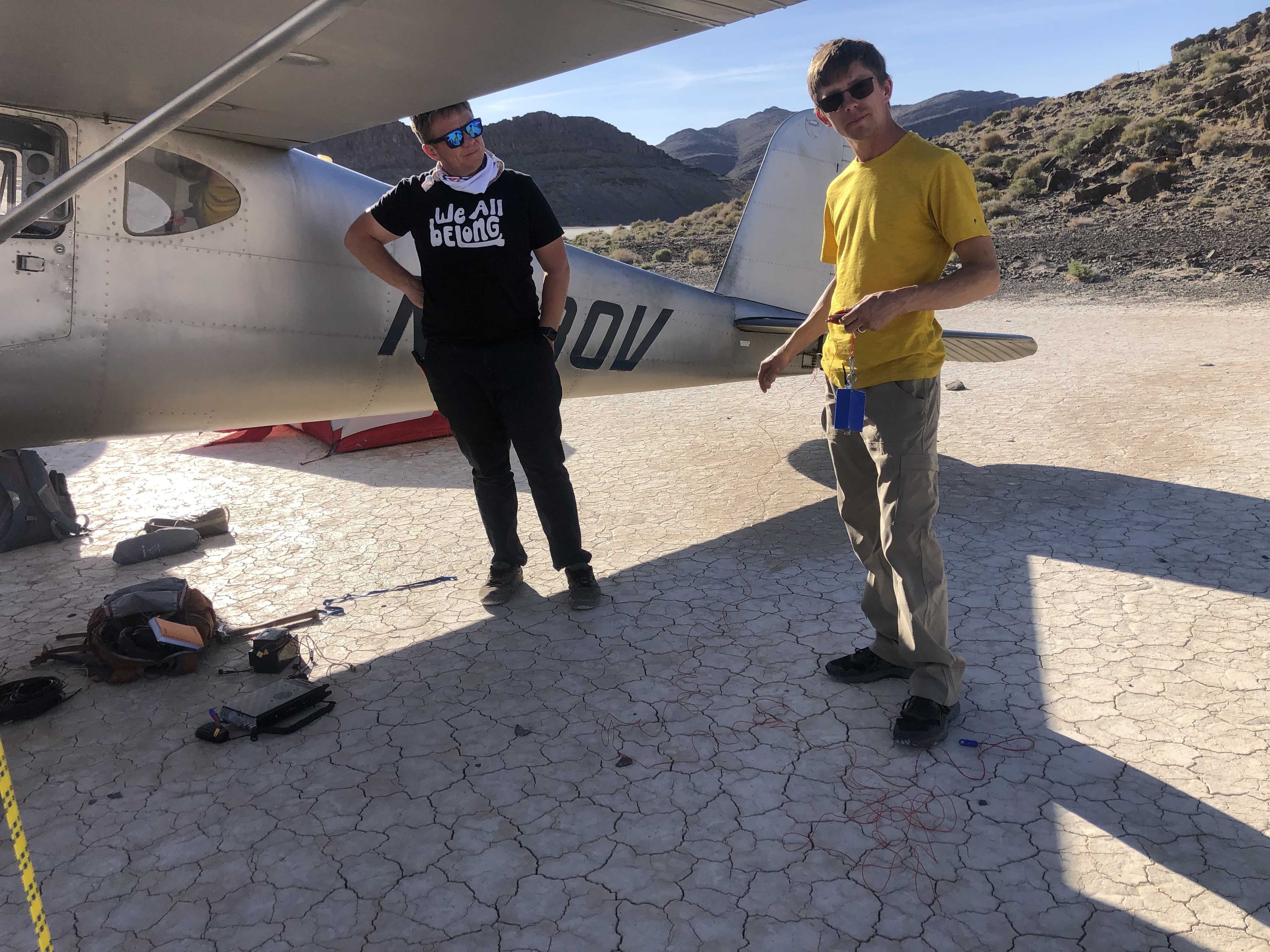
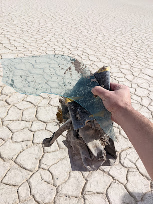
1 year agoFirst time landing here today. Such an awesome place. Very quiet and desolate. A good spot for some solitude. The windsock is in good shape. Has a small tear and faded but it's standing and functional. It can use some extra zip ties for the upper eye loops. It was helpful. Very light winds out of the south. I landed southwest along the southern shore of the island. That spot is by far the smoothest. It was better than many runways I've landed on. No problem at all for my tiny tires and even smaller tailwheel. Walked around a bit. Though the ponds are full of water, the lakebed is hard and dry. The ponds were just starting to freeze. Fresh water! Not salty. Other spots would be suitable for landing as well, though ever so slightly more bumpy with the alligator cracking on the lakebed. There's a very small yet still very saddening amount of trash around. Wish I had brought a trash bag. Walked around a bit and filled a re-purposed gallon zip lock. Lots of tent stakes, plastic, receipts, batteries, wrappers, and beer cans. Look at the base of the bushes and bring gloves.

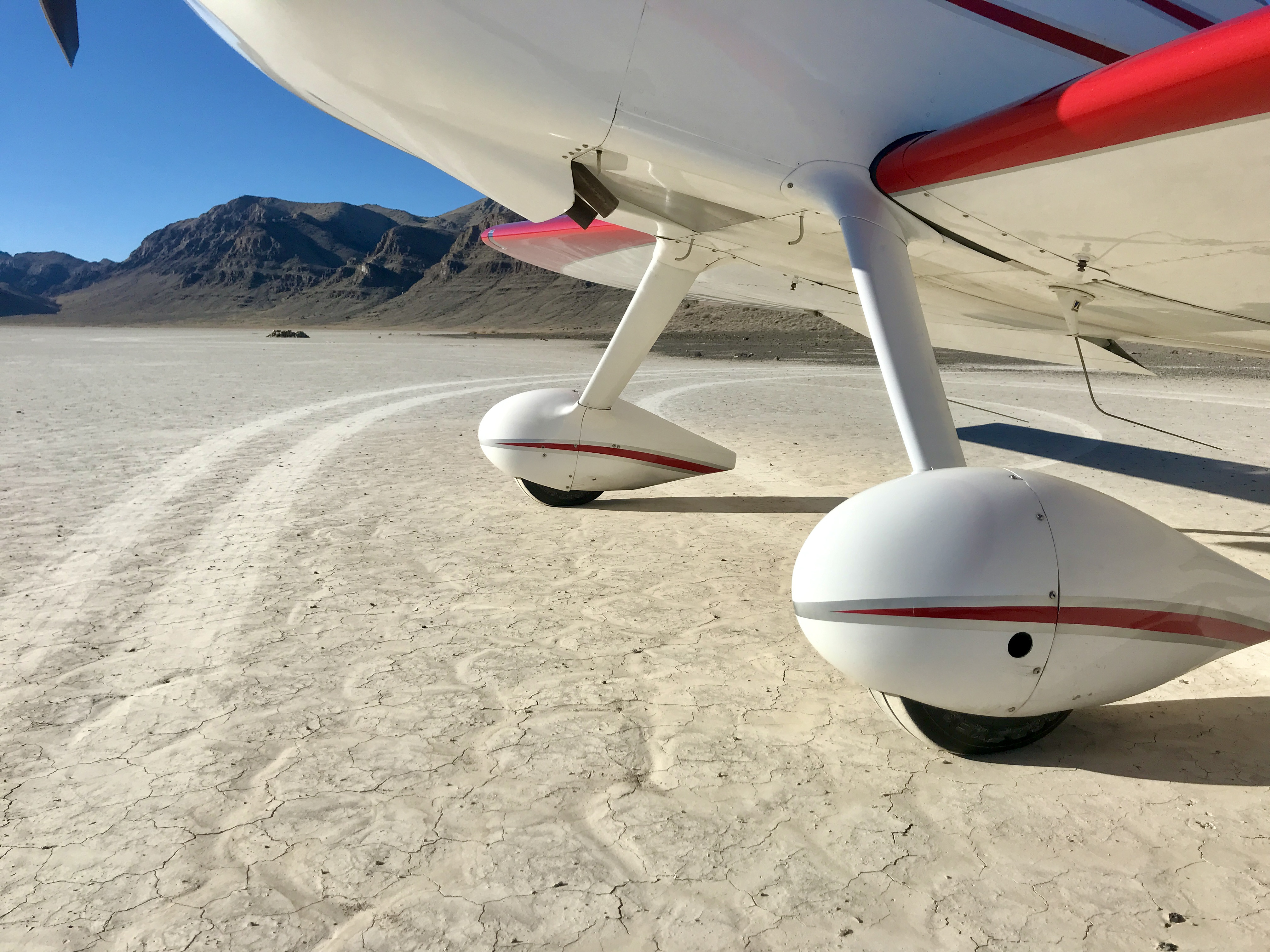
Lot's of wet spots and pooling water towards the south end of the hardpan. Landed the west side of the island with no issues, more than enough dry surface that's hard as a rock to land on. Windsock pole was a bit cockeyed and was unable to rotate freely, so my friend and I climbed up and leveled out the rock base to set the windsock pole upright, noted a hole in the sock but it's functional now that it's not getting stuck the low point of it's previous rotation. Found a good trash score as well. All looks like very old fabric with the exception of an AAA battery in a fire ring. Also, be advised that Clover Control is unreachable below 8,500ft. Attempted to establish comms several times just north of KDTA before entering the MOA, same on the climb out for the return flight back East over the Sevier lakebed, so keep your head on a swivel.
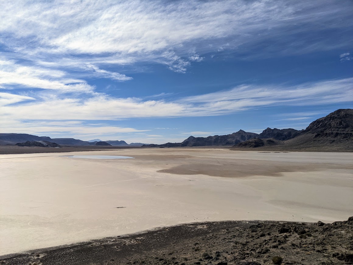


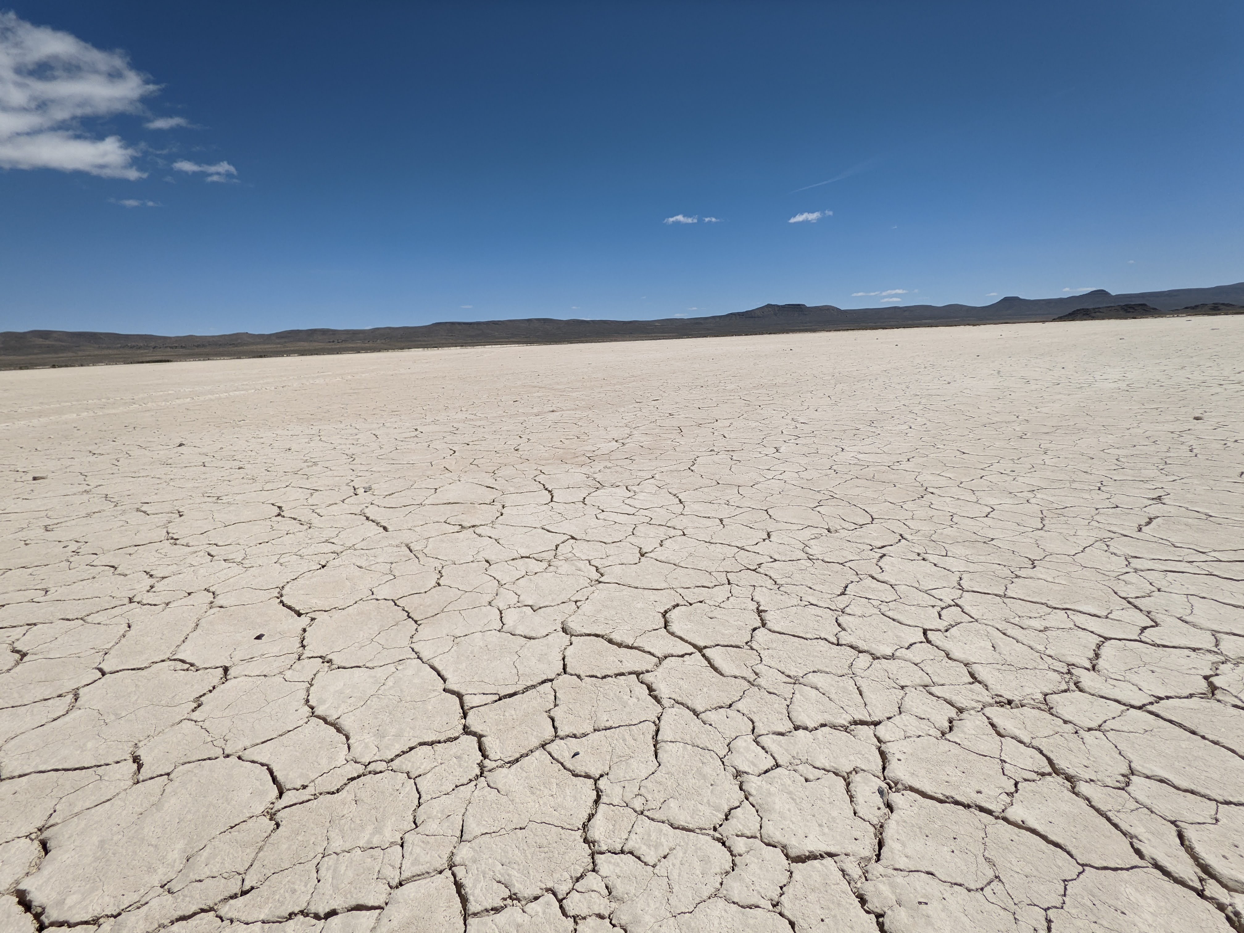
The Tule Valley Hardpan, located in the remote and arid Tule Valley of western Utah, is a striking geological and environmental feature that reflects the region's dynamic natural history. This vast expanse of hardened soil, characterized by its cracked and parched appearance, owes its origins to the ancient Lake Bonneville, a massive pluvial lake that covered much of Utah during the last Ice Age. As Lake Bonneville receded roughly 14,500 years ago due to climatic changes and the catastrophic Red Rock Pass flood, its desiccated lakebed left behind a variety of sedimentary deposits, including clay and silt, which formed the foundation for the hardpan. Over time, cycles of wetting and drying cemented these sediments, creating the dense, impermeable surface seen today.
During the Holocene epoch, the Tule Valley experienced significant shifts in climate that shaped the hardpan's current characteristics. As the region grew increasingly arid, episodic floods and seasonal precipitation occasionally inundated the valley, depositing salts and minerals on the surface. The intense evaporation typical of the Great Basin's climate concentrated these salts, further hardening the soil. These processes also contributed to the formation of distinctive polygonal cracking patterns, a hallmark of the hardpan, resulting from the repeated expansion and contraction of the clay-rich sediments.
The Tule Valley Hardpan has long intrigued scientists and explorers due to its unique physical and chemical properties. Early geologists in the 19th and 20th centuries noted the hardpan's resemblance to other Great Basin playas, sparking interest in its hydrology and paleoclimate implications. Research into the hardpan has provided valuable insights into the region's prehistoric environment, including evidence of ancient water levels and the fluctuating climate patterns that have influenced the Great Basin for millennia. The hardpan also serves as an analog for similar arid environments on Earth and even on Mars, where comparable desiccated terrains have been identified.
Despite its remote location, the Tule Valley Hardpan has played a minor role in human history. Indigenous peoples likely traversed the area in search of resources, though the inhospitable environment limited sustained habitation. In the modern era, the Tule Valley remains largely uninhabited, with the hardpan serving as a natural preserve of the region's geological history. The area has also attracted researchers and adventurers interested in its stark beauty and the challenges posed by its harsh conditions.
Today, the Tule Valley Hardpan stands as a testament to the interplay of geological forces and environmental change. Its cracked and sunbaked surface tells the story of a landscape shaped by ancient lakes, climatic extremes, and the passage of time. As a living laboratory for studying arid ecosystems and Earth’s climatic past, the Tule Valley Hardpan remains an important and enduring feature of Utah's natural heritage.
Works Cited:
Lake Bonneville: Geology of Northern Utah Valley, Department of Interior, 1953