Airstrip Info
| Frequency | 122.90 |
|---|---|
| Elevation | 4461 ft |
| Lat/Long |
39.0188, -110.4504 39° 1.128' , -110° 27.024' |
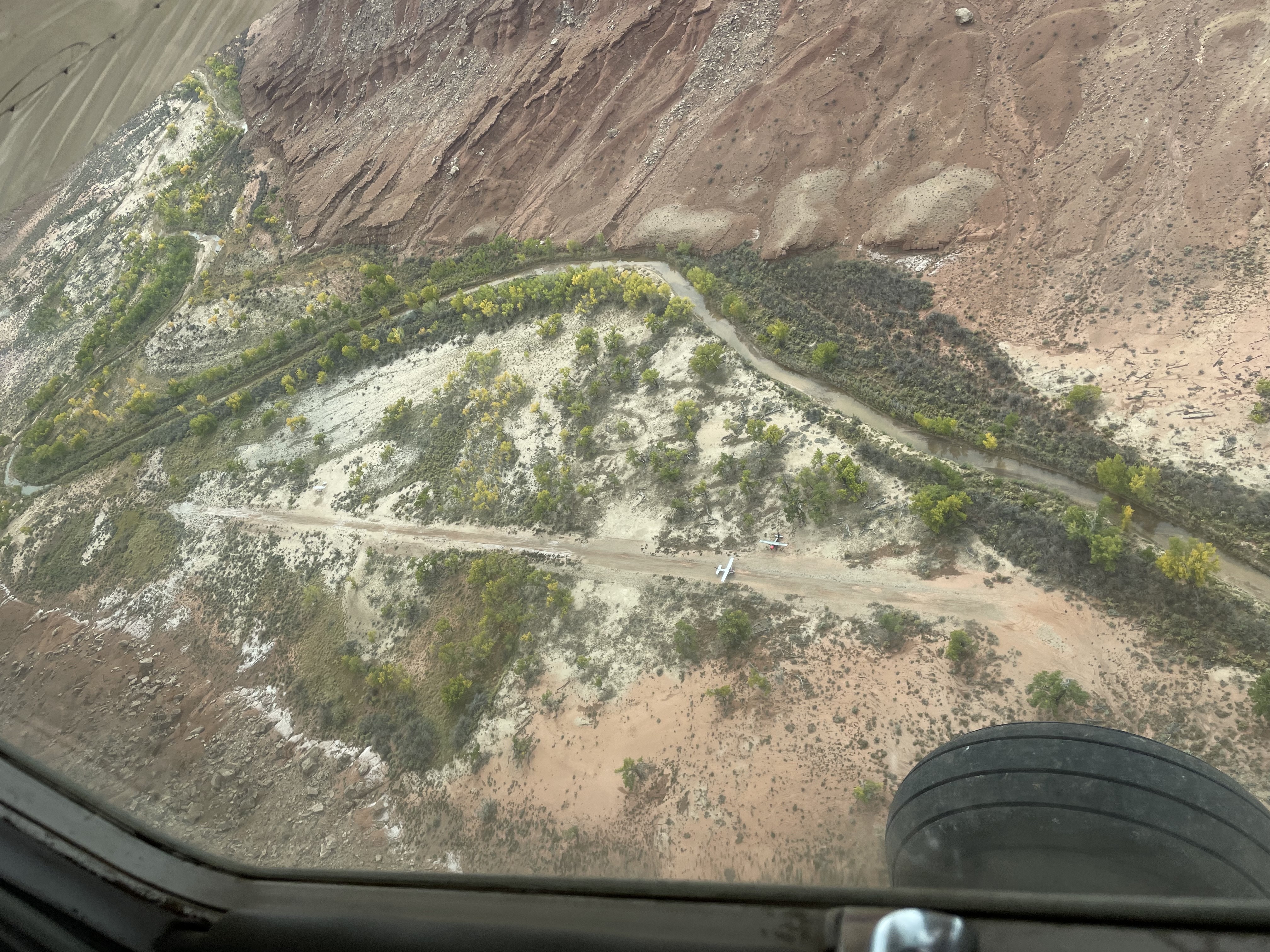
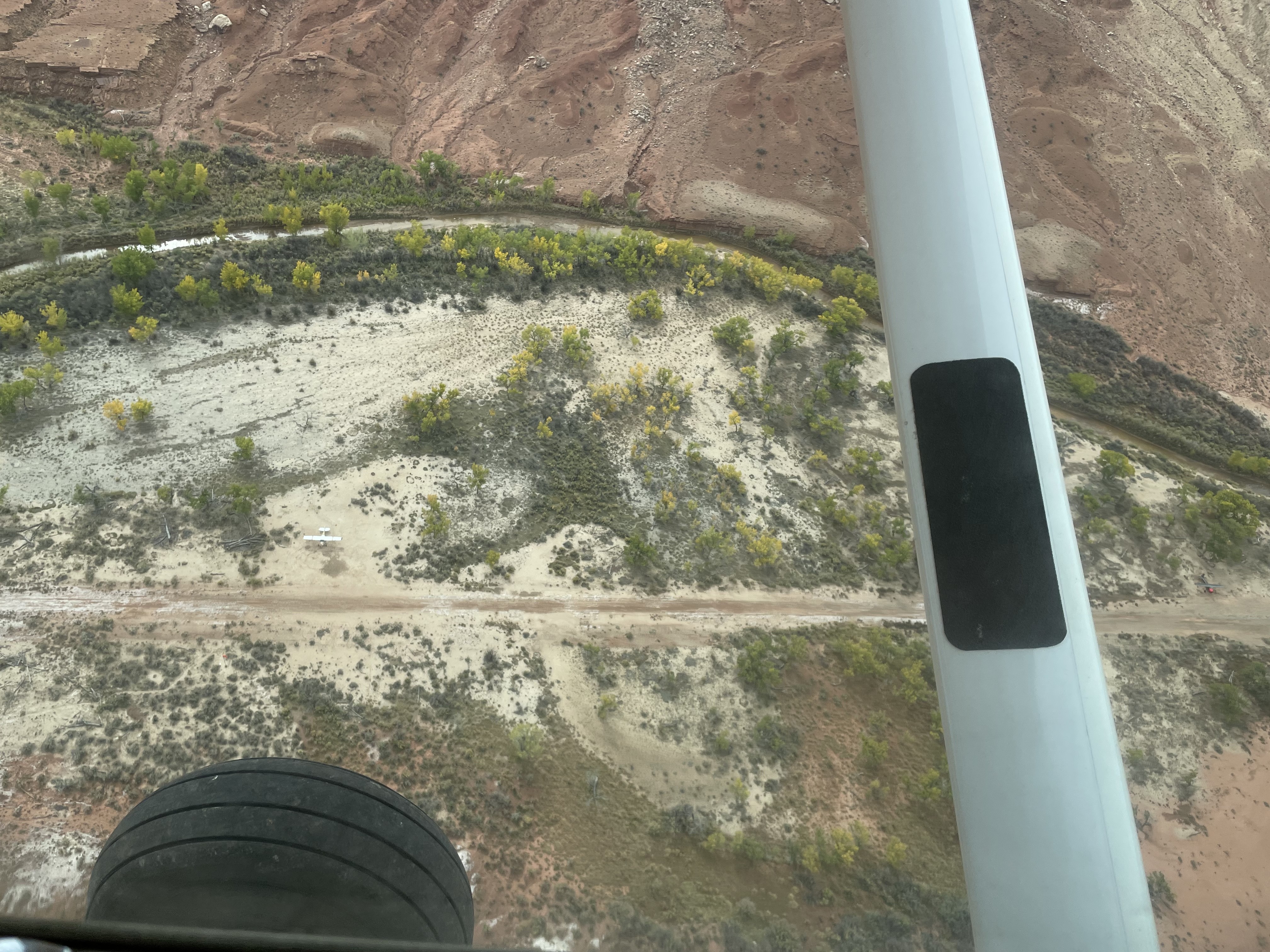
| Runway 11/29 |
1900 ft
x 40 ft
Dirt Rwy 29 Uphill 0.3% |
| Ownership | BLM WSA |
Amenities
Weather
See more at the National Weather Center
Information updated November 13, 2024 @ 8:31am
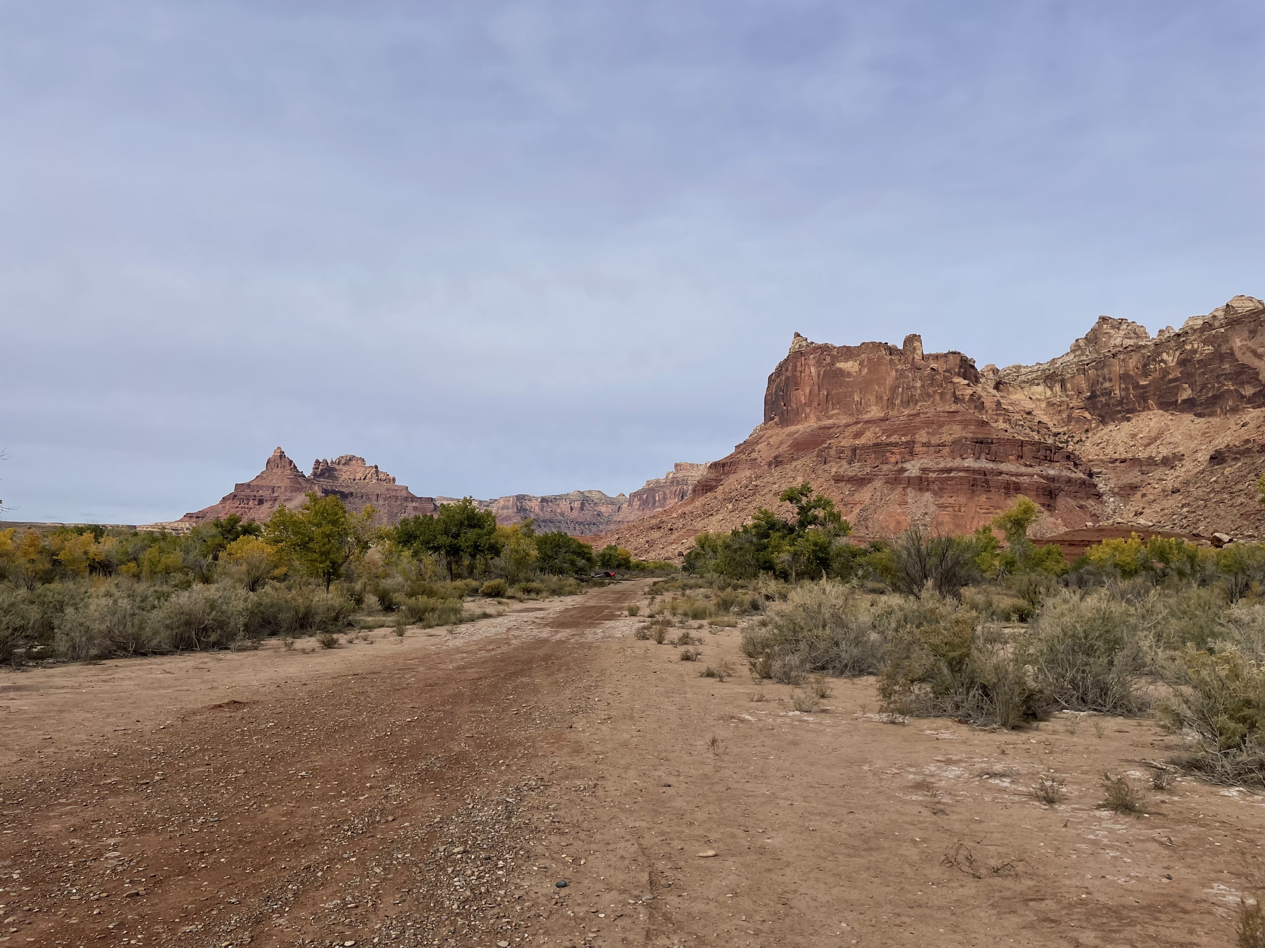
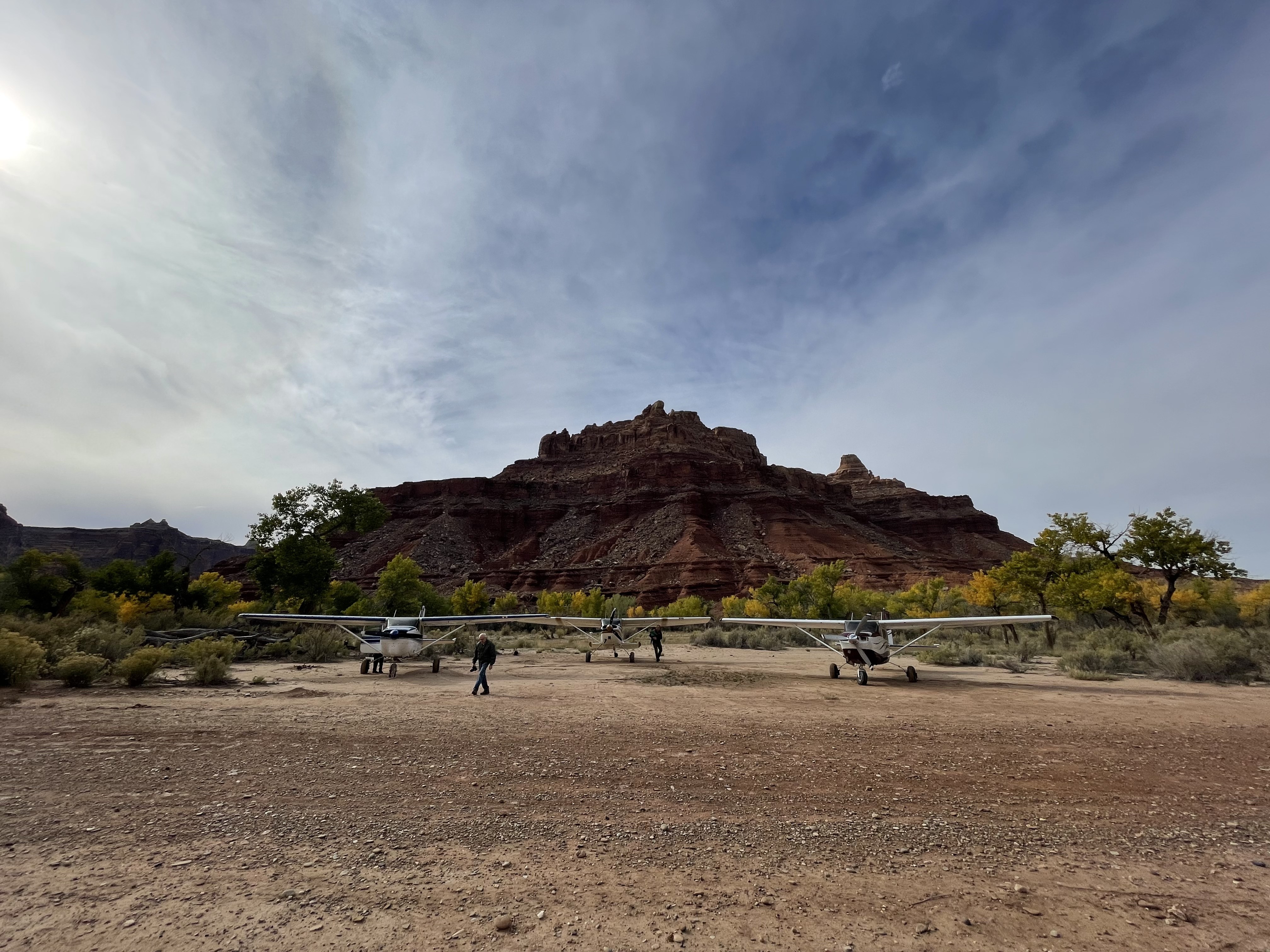
Description: Mexican Mountain's runway is oriented west/east alongside the San Rafael River inside the Mexican Mountain Wilderness Study Area. Due to the sensitive nature of the location, pilots are requested to adhere to the UBCP's Code of Conduct to help us maintain our strong working agreements with the BLM. Reminder to all pilots this airstrip exists within a Wilderness Area. Motorized or wheeled conveyances are not to be used on the airstrip or surrounding areas.
Please read wilderness Leave no Trace practices for Mexican Mountain. The use of WAG bags is encouraged.
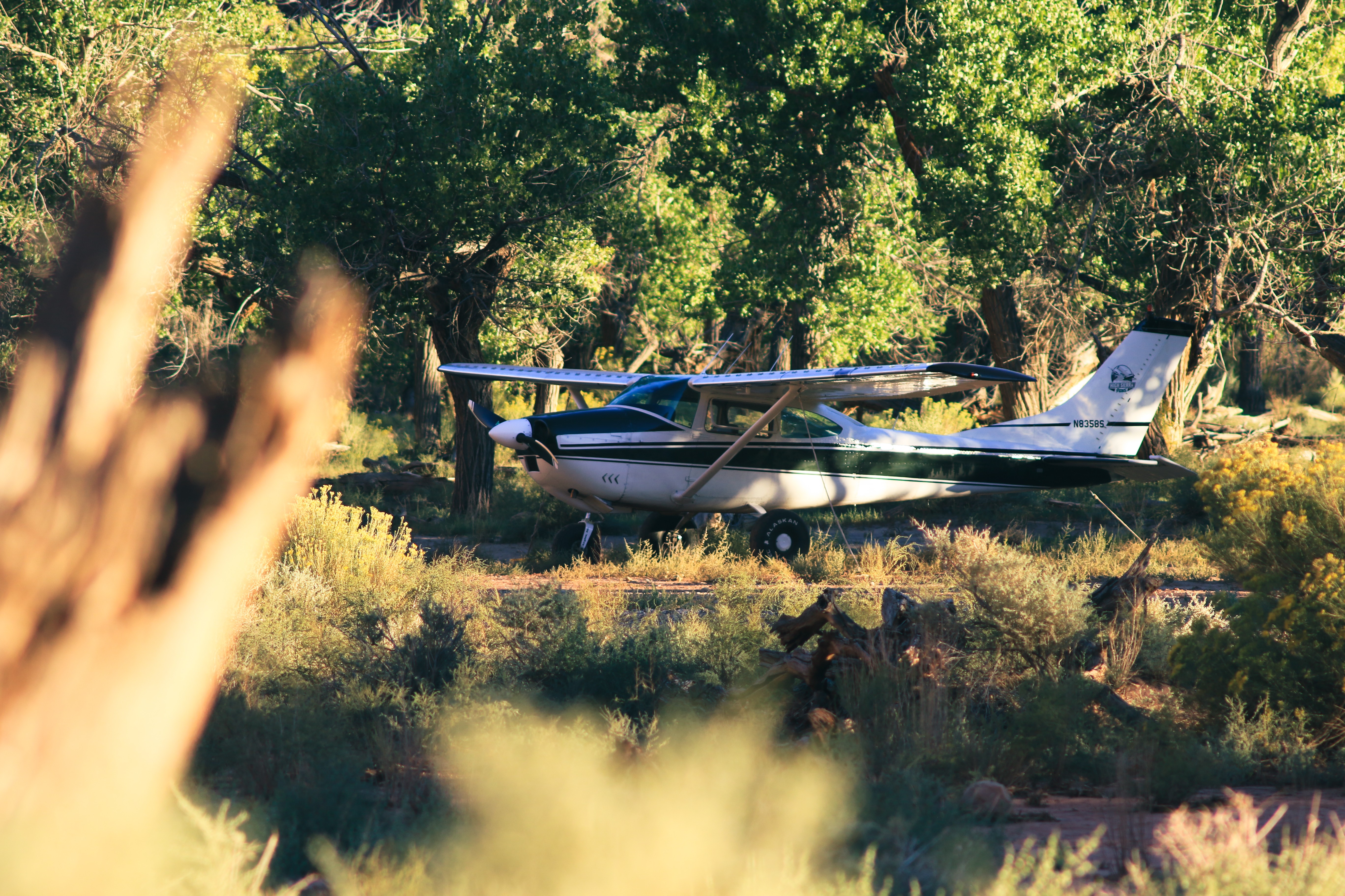
Runway: 1900 ft long x 40 ft wide dirt runway in good condition. Slopes uphill slightly to the west. First 500' from the east is more soft than the rest of the runway and has a "dark spot" that appears wet throughout the year.
Approach Considerations: Tall trees (30+ ft) on both sides of the runway present a hazard when landing to the east (downhill). Typically land to the west and depart to the east. Tall trees alongside the runway as well.
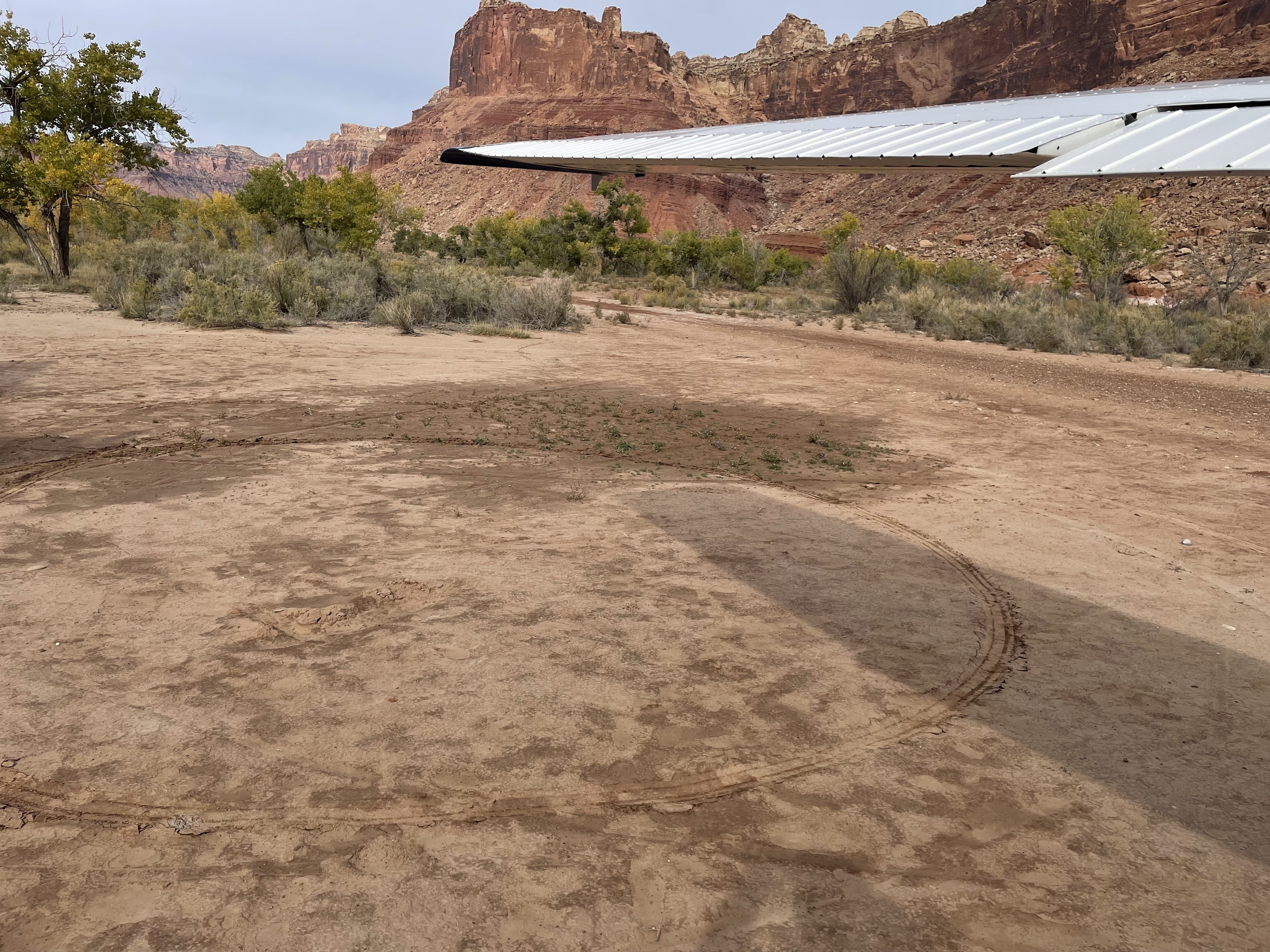
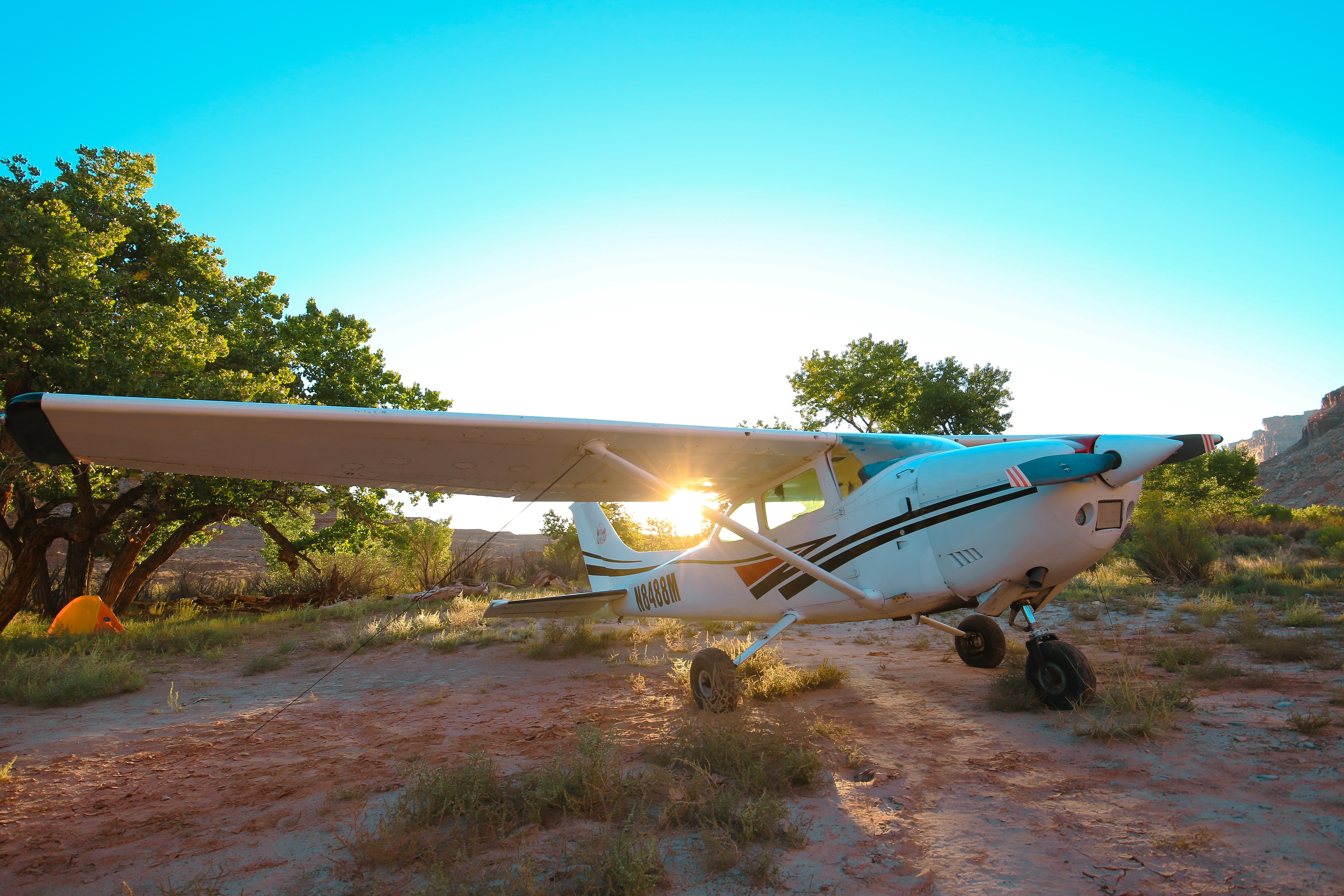
Amenities: Campgrounds and fire rings (please use already established camping/parking areas and fire rings).
Windsock: Yes, located east of the runway.
The strip is drying out nicely after the recent rains. Dark spots on the runway still but they are firm and dry enough that no tracks are left through them. The parking area south of the windsock had one small area that was still a bit tacky. The cottonwoods are just starting to turn. Another week or so and it should be really pretty. Some growth on the east end. Probably time to get a work party in there and knock out some of those bushes and weeds.

Thanks for the report! At our Fall Fly-in, we'll add Mexican Mountain to the clean-up list for people to head to on Saturday after breakfast.
2 years agoSpent the weekend here and landed twice. The runway was in plenty of good condition for two 182s. The campsite was great, some weeds have grown up but we cleared em out easily enough. Great spot and the recent rain made the east end an even better turn-around than it has been in years past. Kinda buried some of the rocks and made a nice packed sand area one could do a run-up in with a nose dragger without worry lol.

Fixed the sinkhole, it was about 5ft deep, so pretty substantial. I wasn't able to get the bolt out of the Windsock pole. Need a big hammer for that.

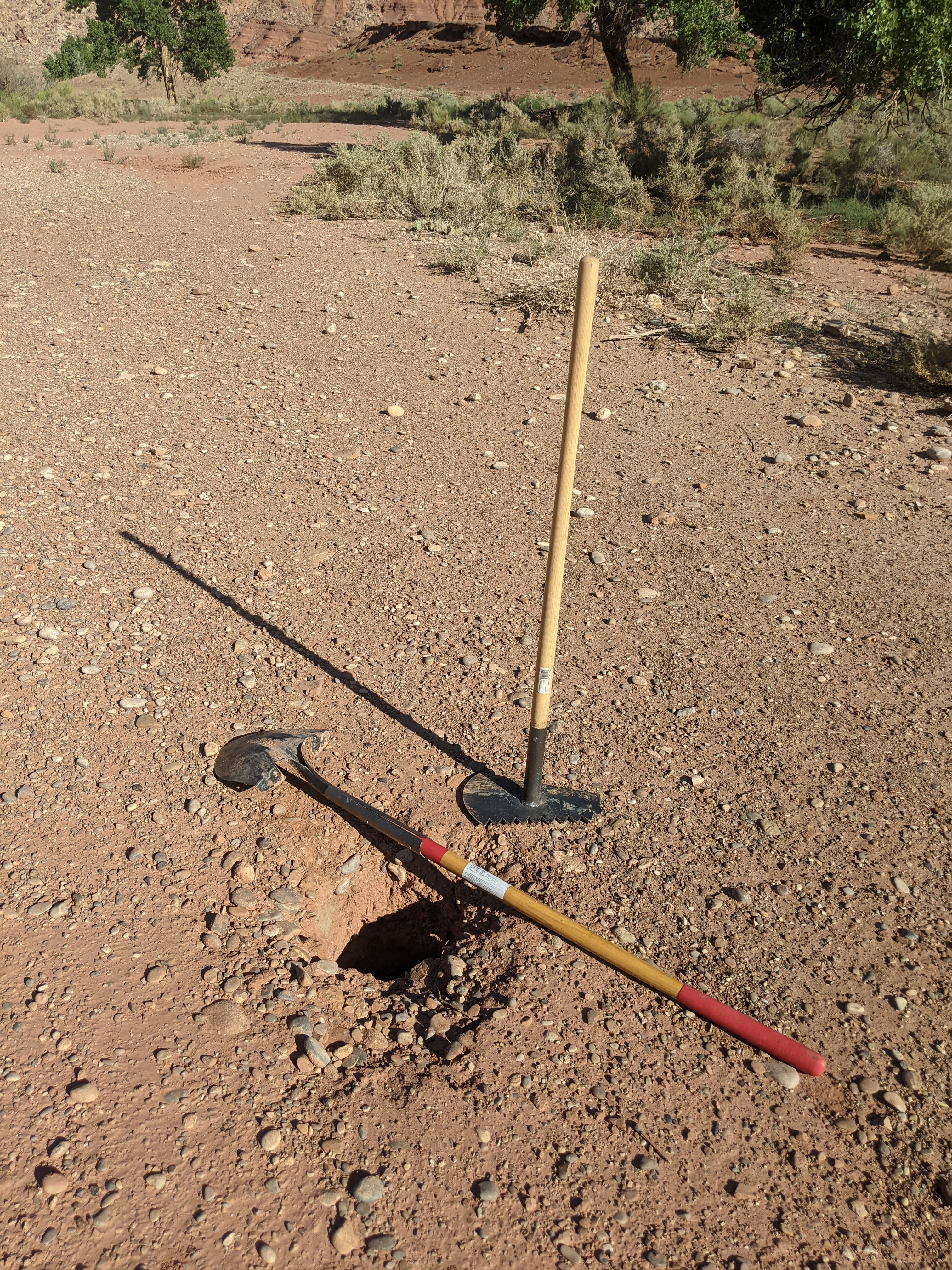
I was there over Labor day weekend and couldn't find the sinkhole, now I know why ;)
2 years agoWe haven't written a history for this airstrip yet. If you would like to provide us with some information about this strip, please contact us today!