Airstrip Info
| Frequency | 122.90 |
|---|---|
| Elevation | 4461 ft |
| Lat/Long |
39.0188, -110.4504 39° 1.128' , -110° 27.024' |
| Runway 11/29 |
1900 ft
x 40 ft
Dirt Rwy 29 Uphill 0.3% |
| Ownership | BLM WSA |
Amenities
Weather
See more at the National Weather Center
Information updated November 13, 2024 @ 8:31am
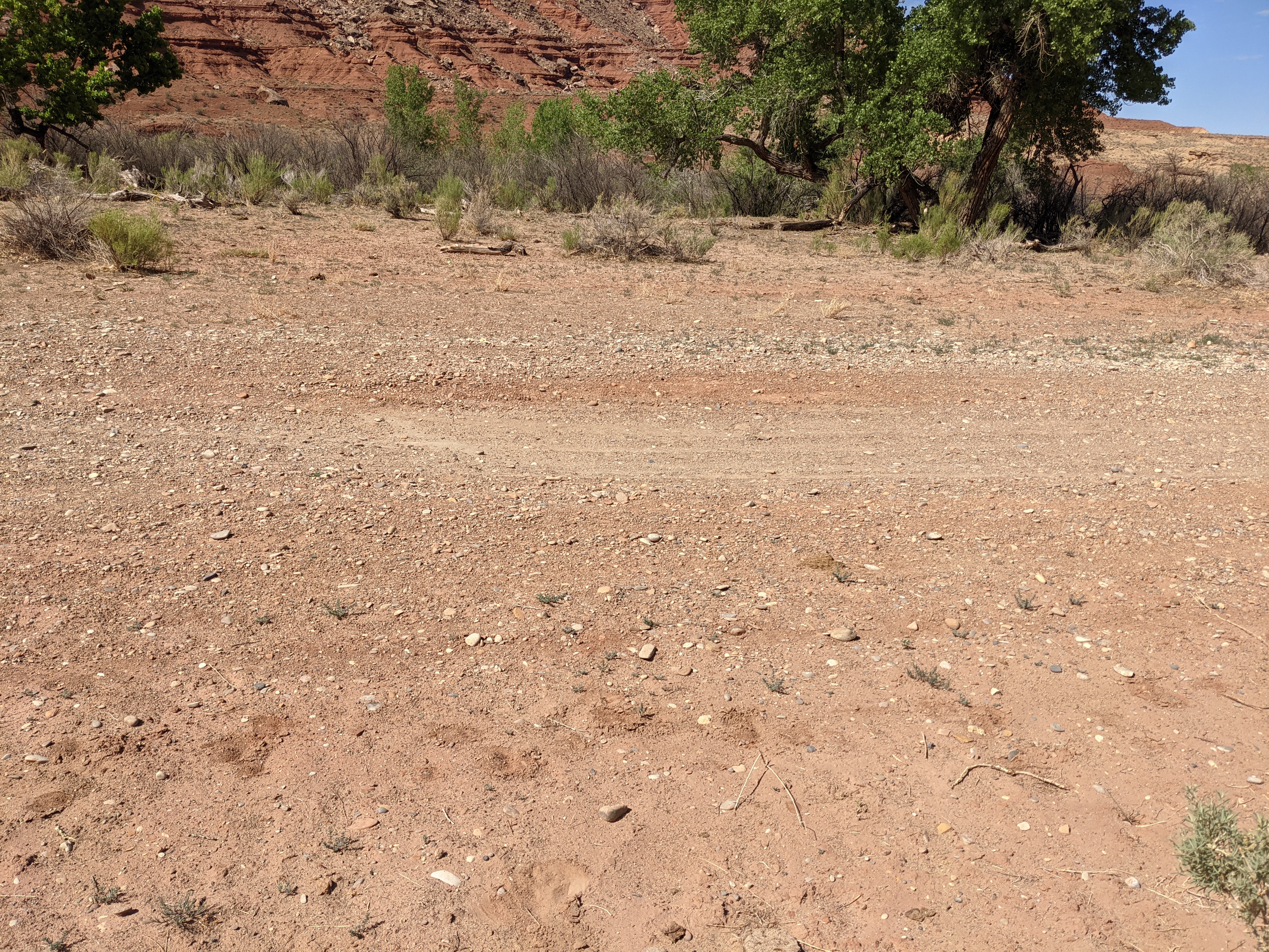
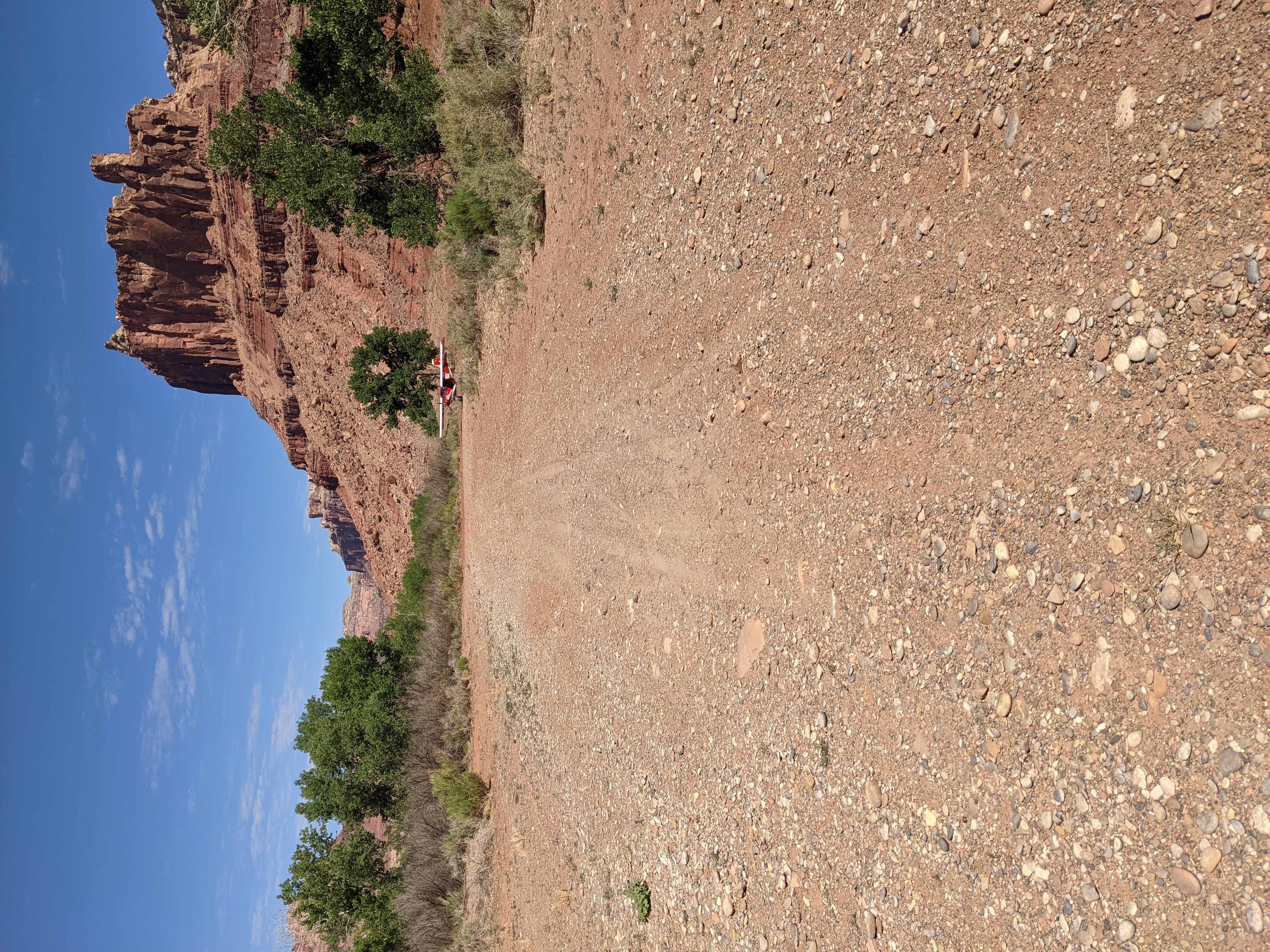
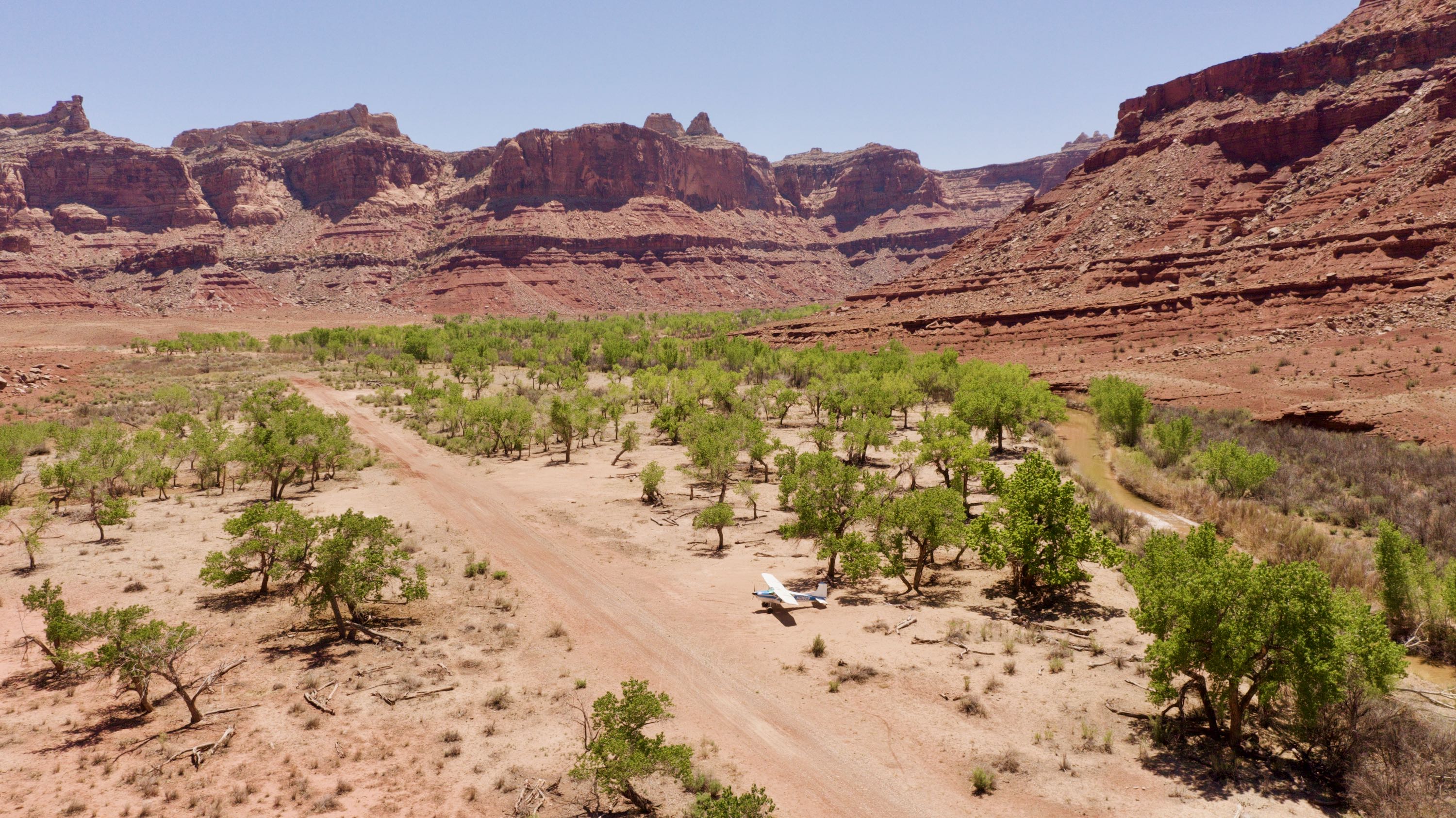
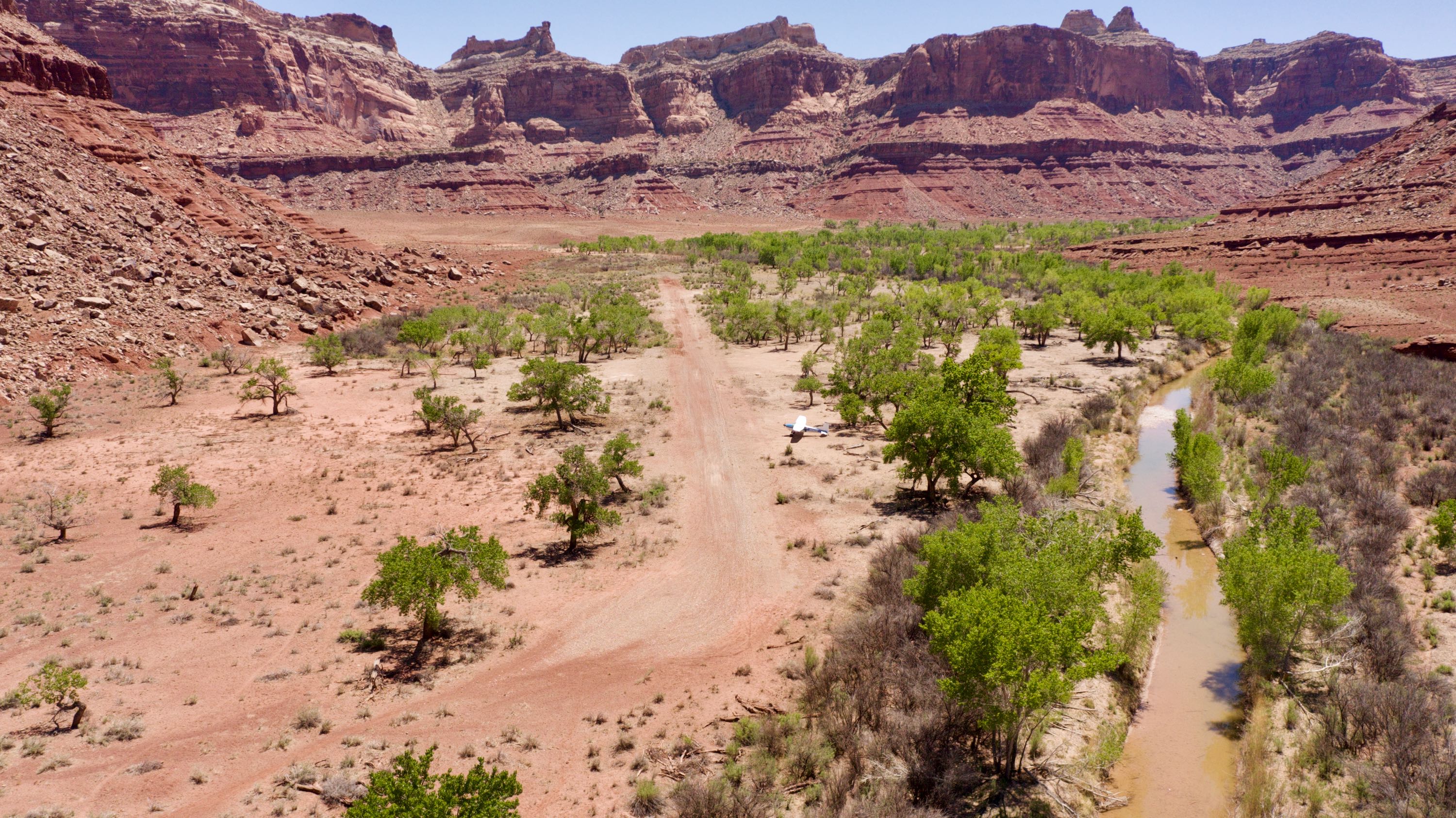
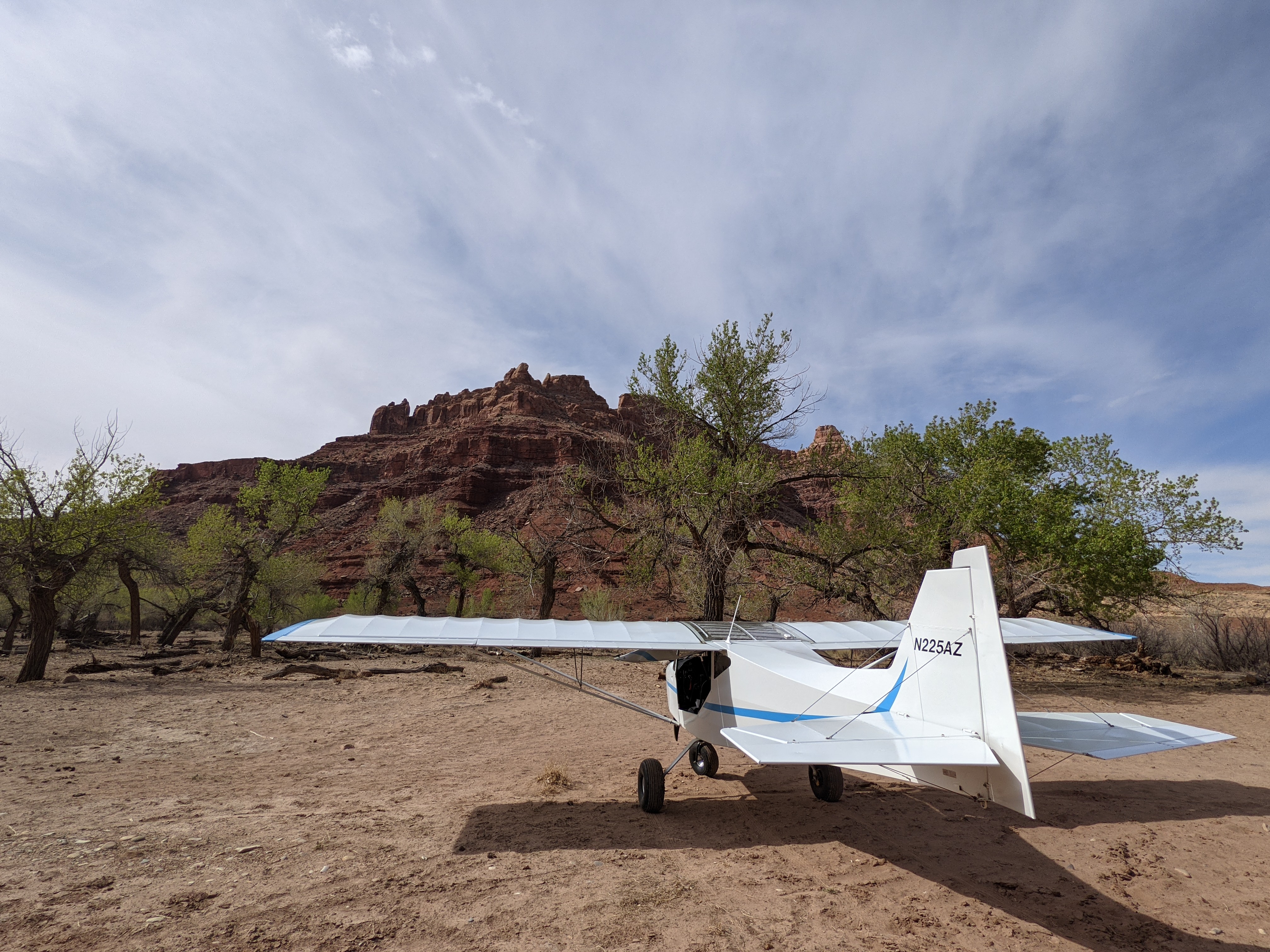
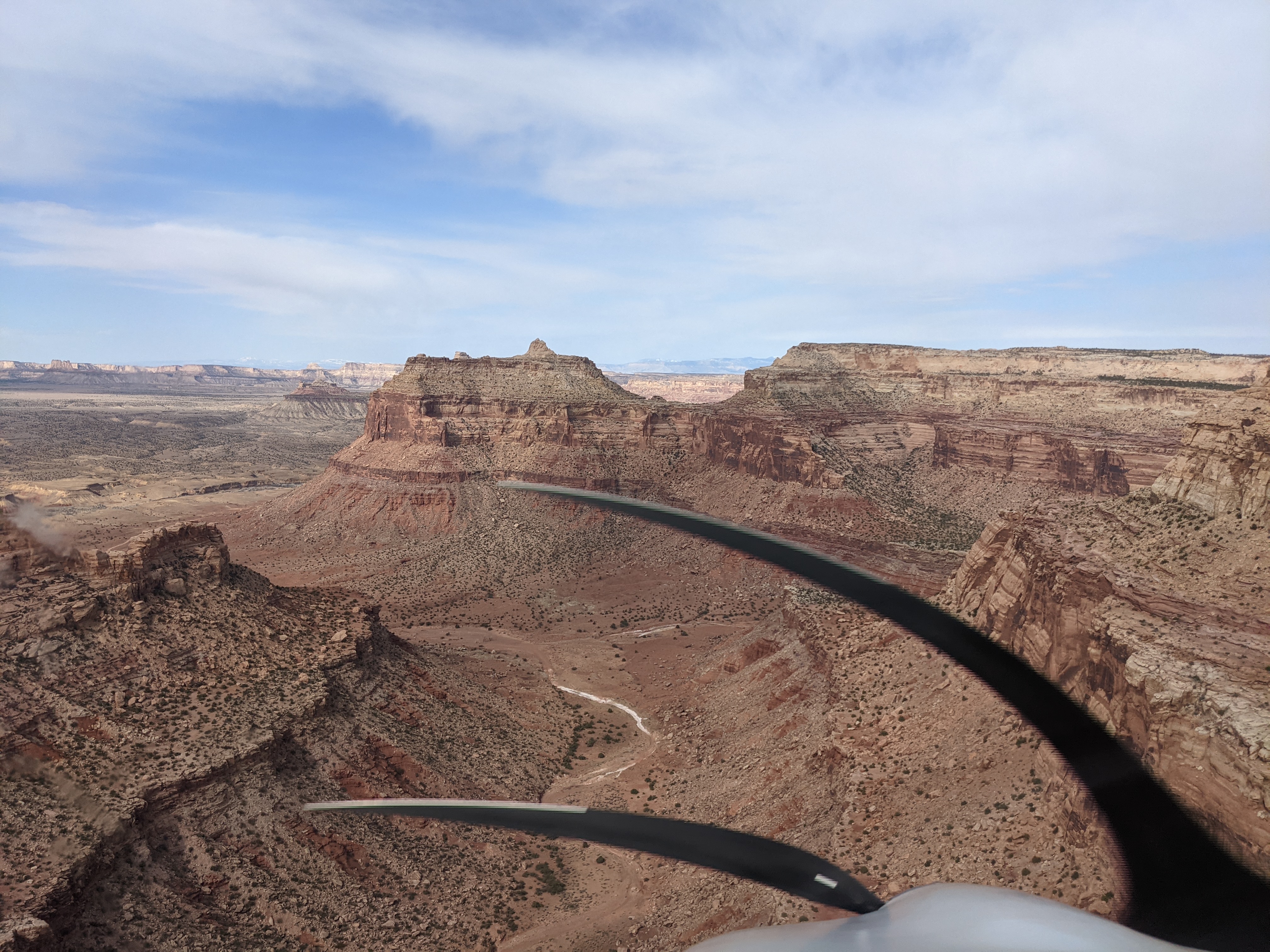
Description: Mexican Mountain's runway is oriented west/east alongside the San Rafael River inside the Mexican Mountain Wilderness Study Area. Due to the sensitive nature of the location, pilots are requested to adhere to the UBCP's Code of Conduct to help us maintain our strong working agreements with the BLM. Reminder to all pilots this airstrip exists within a Wilderness Area. Motorized or wheeled conveyances are not to be used on the airstrip or surrounding areas.
Please read wilderness Leave no Trace practices for Mexican Mountain. The use of WAG bags is encouraged.
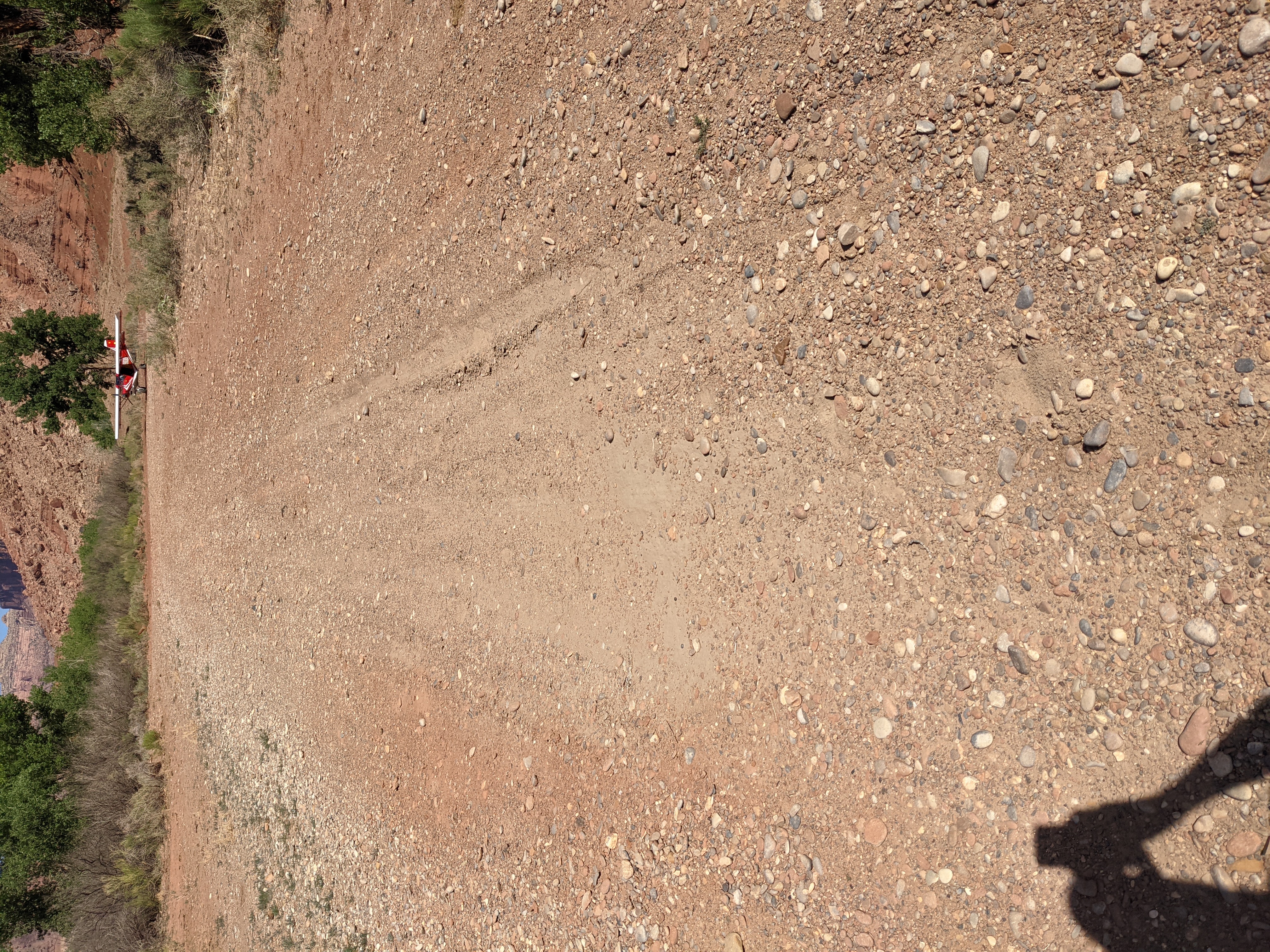
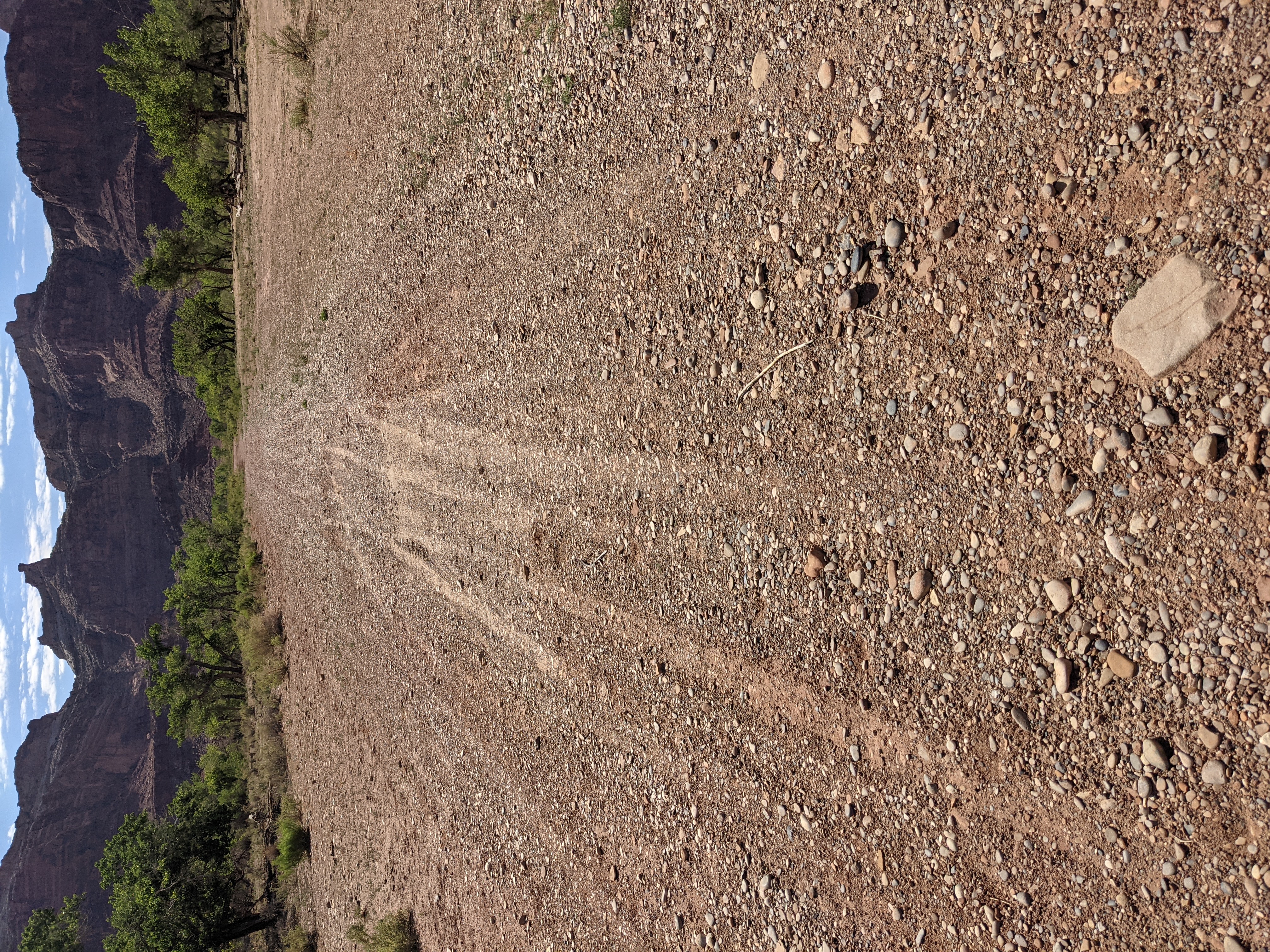
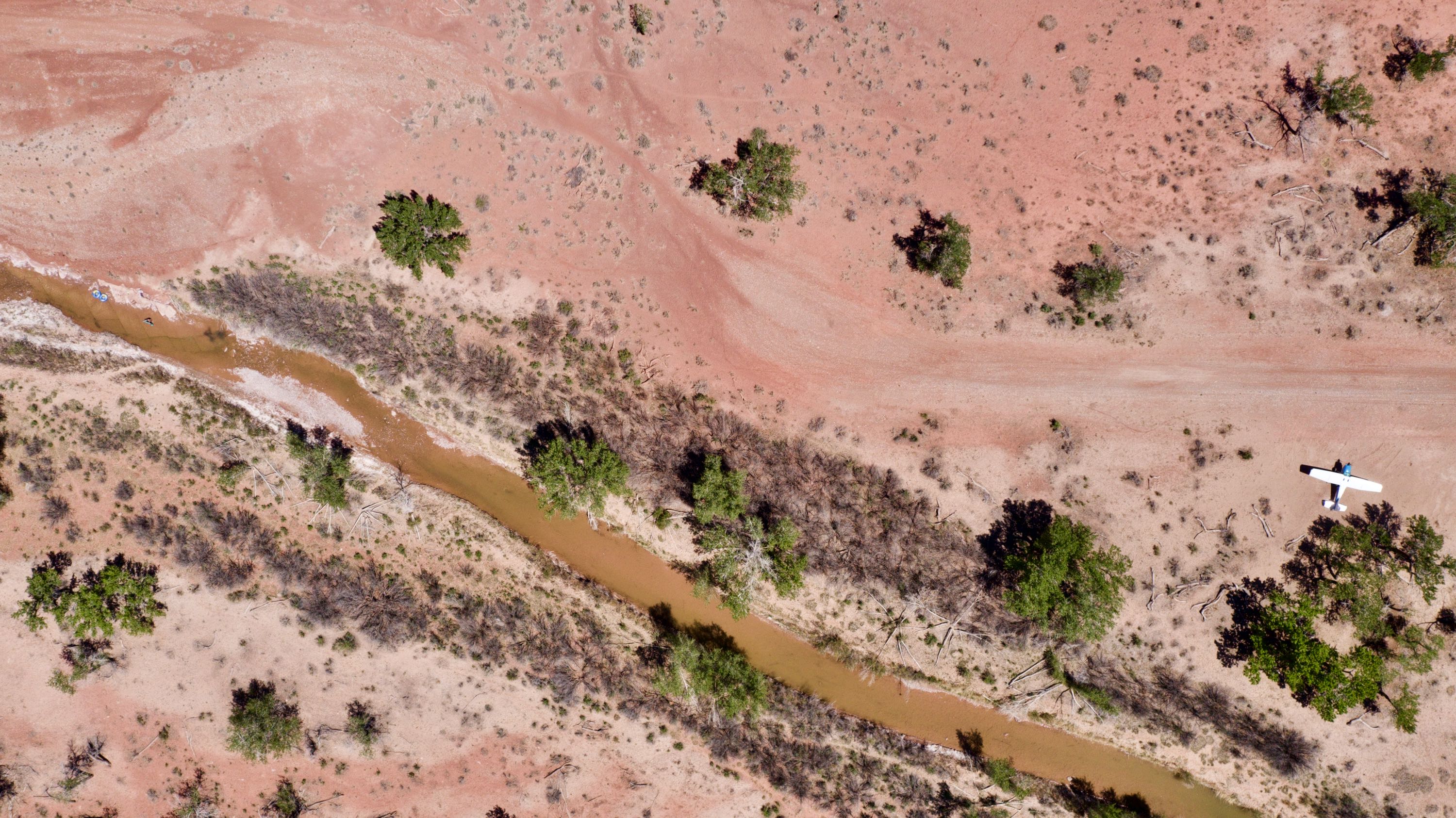
Runway: 1900 ft long x 40 ft wide dirt runway in good condition. Slopes uphill slightly to the west. First 500' from the east is more soft than the rest of the runway and has a "dark spot" that appears wet throughout the year.
Approach Considerations: Tall trees (30+ ft) on both sides of the runway present a hazard when landing to the east (downhill). Typically land to the west and depart to the east. Tall trees alongside the runway as well.
Amenities: Campgrounds and fire rings (please use already established camping/parking areas and fire rings).
Windsock: Yes, located east of the runway.
As others have mentioned there are some pretty good sized divots/blown out areas in the center of the runway about 125ft or so from the western end. On take off headed east I stayed to the right of those with no issues. I will upload the pics I took but not sure if they will show it well. They are manageable.

We had a great afternoon spent at Mex MT. The strip is in good shape, nothing abnormal to report. Turned around at the midfield pullout and parked at the west end, both areas didn't seem excessively soft as some previous reports suggest. The damp depression towards the east end seems to be completely dry now. It's a good time of the year to cool off by the river as there is still some water flowing.
Flew in on Tuesday for a night of camping and exploring. Hiked to Delicate arch and it was great! Also hiked to the drill hole. Next visit I'm going to hike up Mexican Bend to Swasey's Leap and explore the slot canyon. Kelsey (2014) Hiking & Exploring Utah's San Rafael Swell (4th edition) has some pretty good beta on the area around this airstrip and supplements Galen's 'Fly Utah' book, The only caution I would offer is there was a herd of cows w/ calves that visited us in the evening at camp and there were all over the runway. They moved on as the sun set.

We haven't written a history for this airstrip yet. If you would like to provide us with some information about this strip, please contact us today!