Airstrip Info
| Frequency | 122.90 |
|---|---|
| Elevation | 4461 ft |
| Lat/Long |
39.0188, -110.4504 39° 1.128' , -110° 27.024' |
| Runway 11/29 |
1900 ft
x 40 ft
Dirt Rwy 29 Uphill 0.3% |
| Ownership | BLM WSA |
Amenities
Weather
See more at the National Weather Center
Information updated November 13, 2024 @ 8:31am
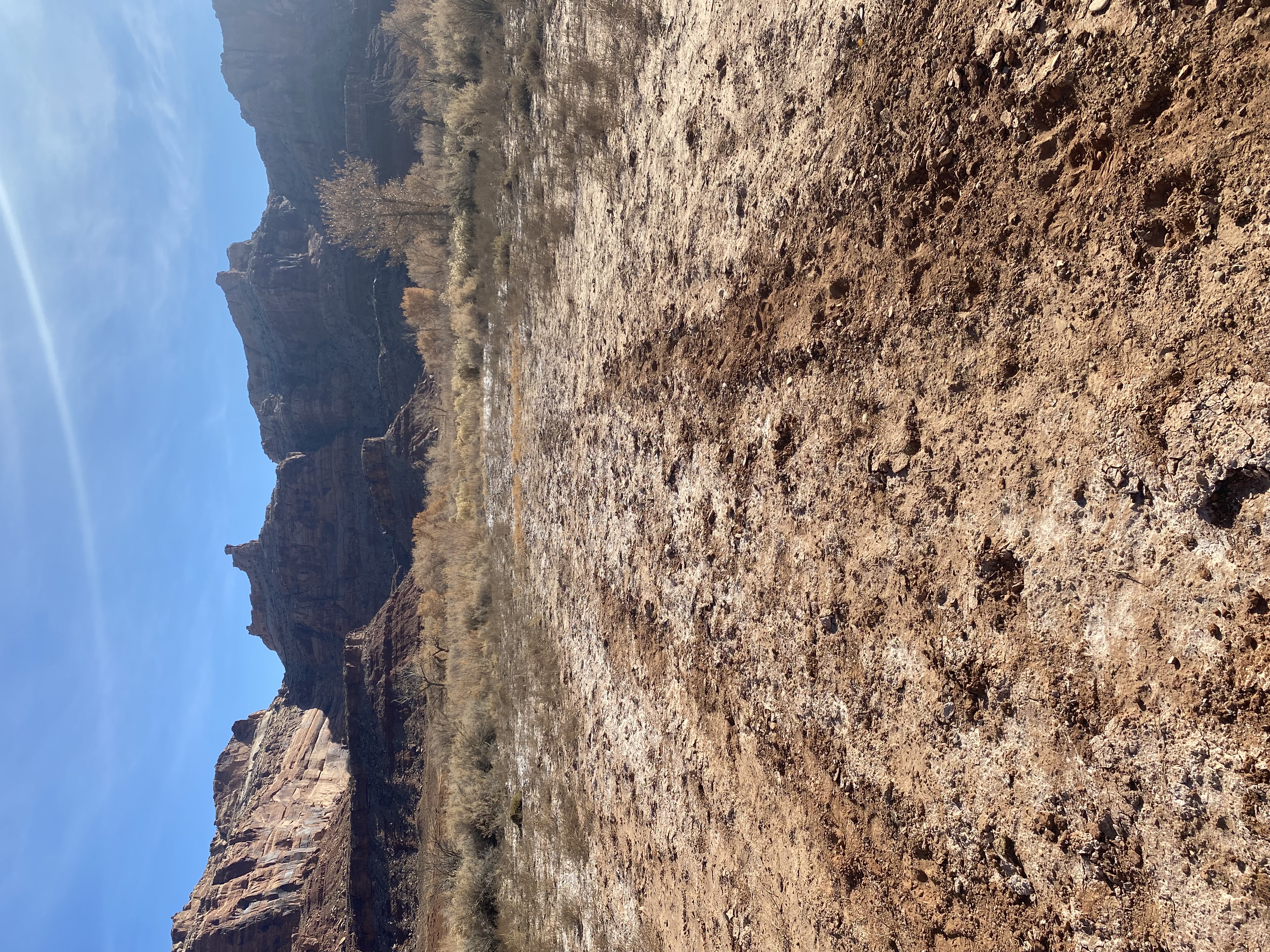
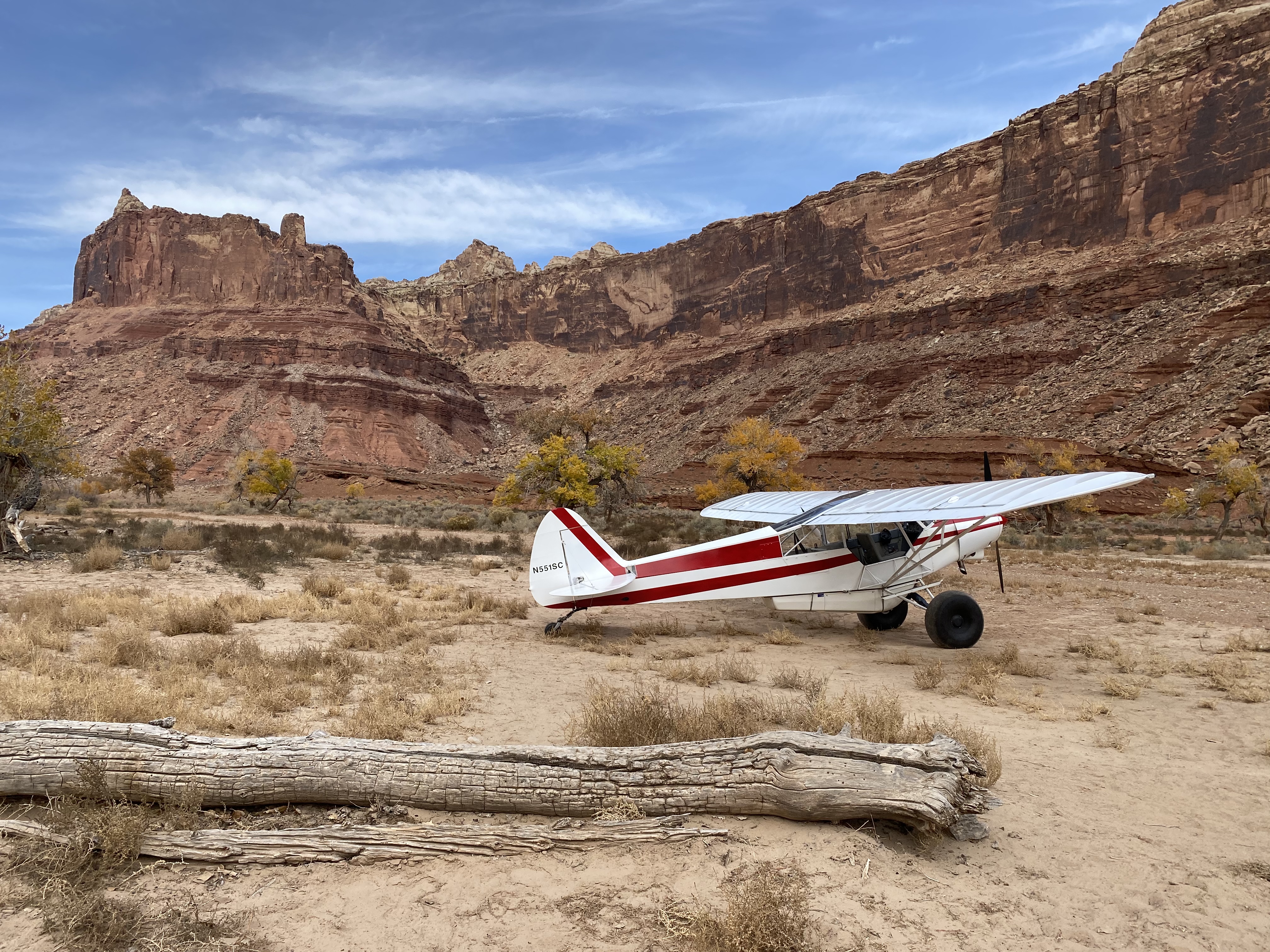
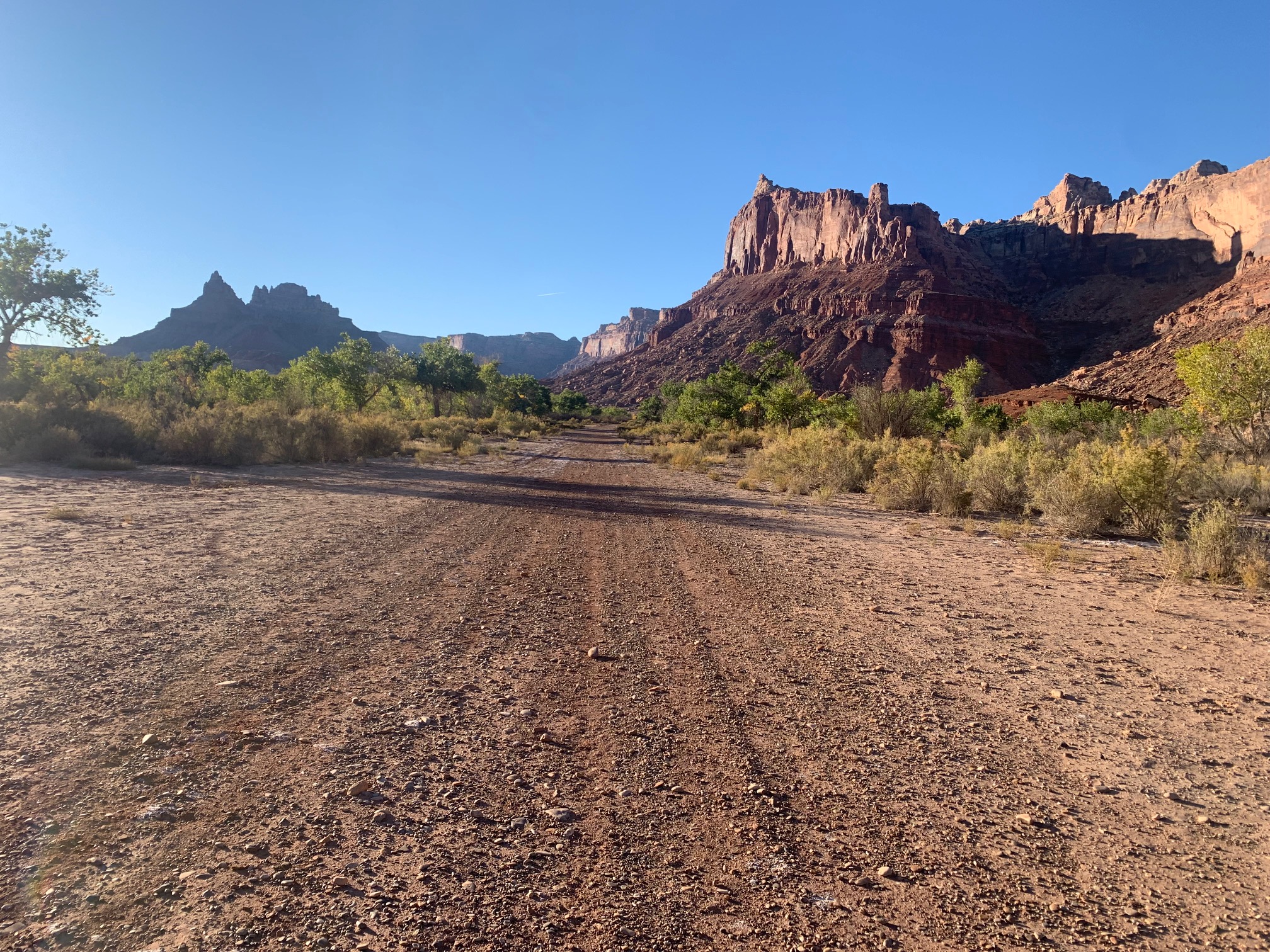
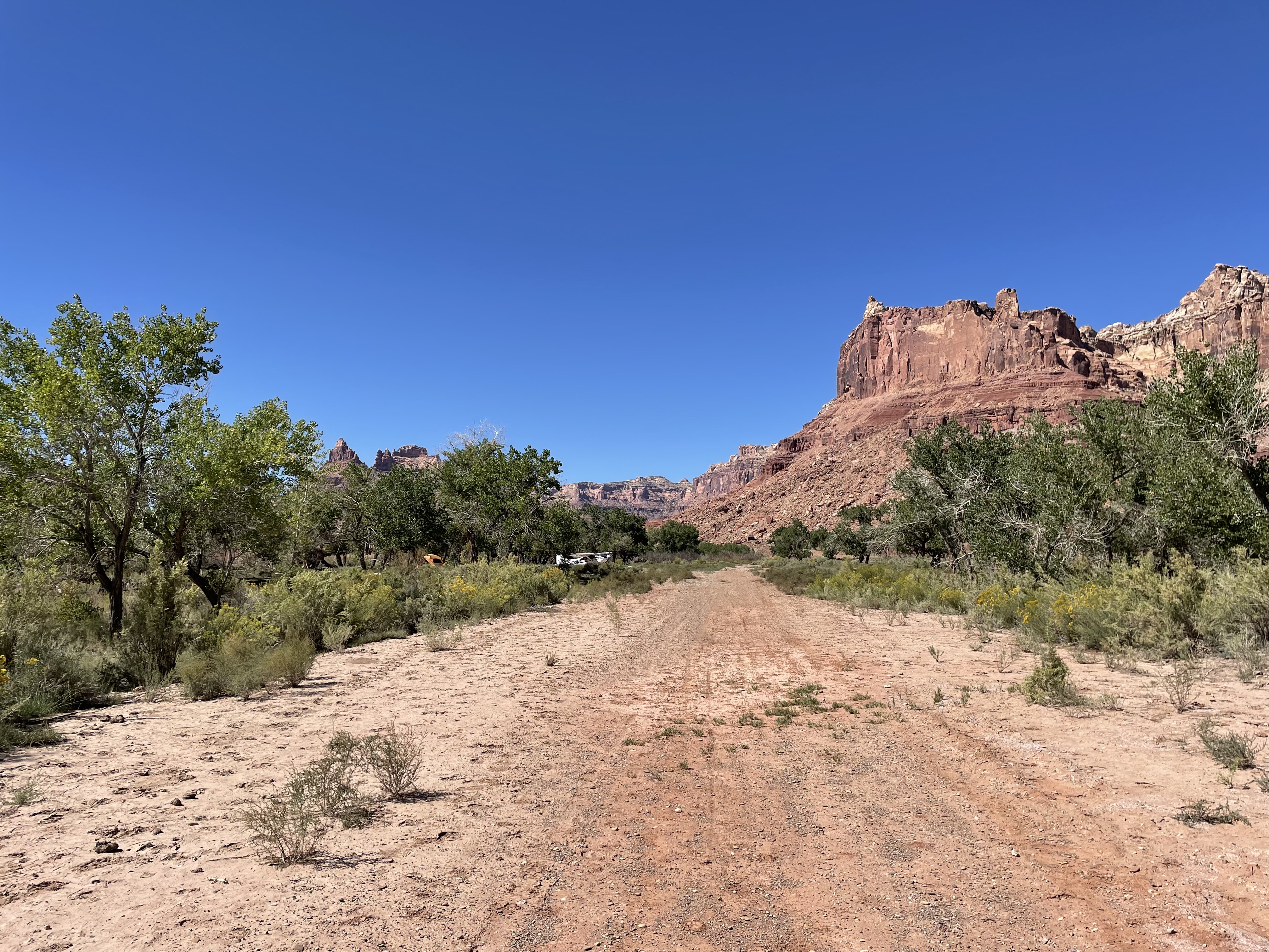
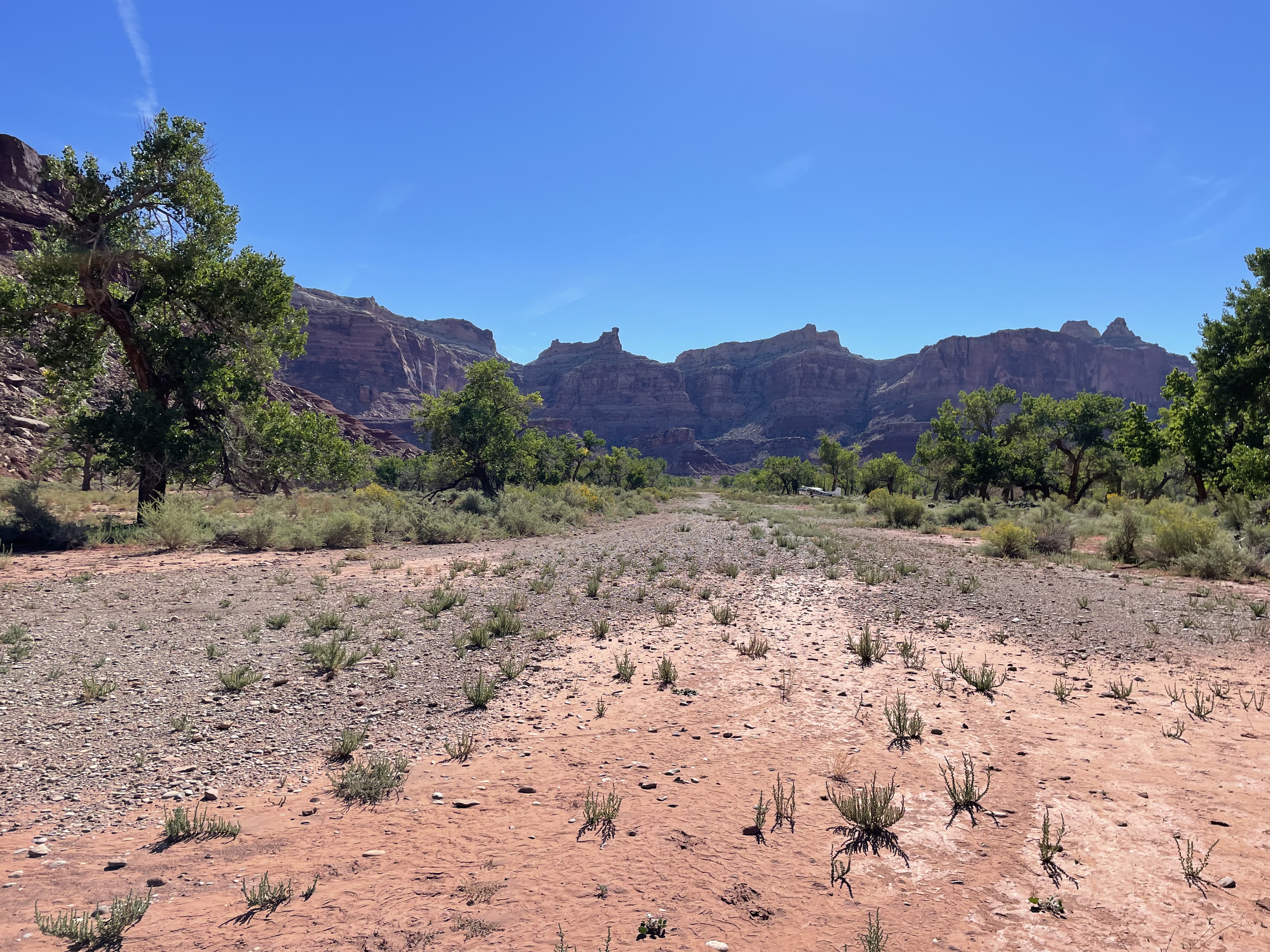
Description: Mexican Mountain's runway is oriented west/east alongside the San Rafael River inside the Mexican Mountain Wilderness Study Area. Due to the sensitive nature of the location, pilots are requested to adhere to the UBCP's Code of Conduct to help us maintain our strong working agreements with the BLM. Reminder to all pilots this airstrip exists within a Wilderness Area. Motorized or wheeled conveyances are not to be used on the airstrip or surrounding areas.
Please read wilderness Leave no Trace practices for Mexican Mountain. The use of WAG bags is encouraged.
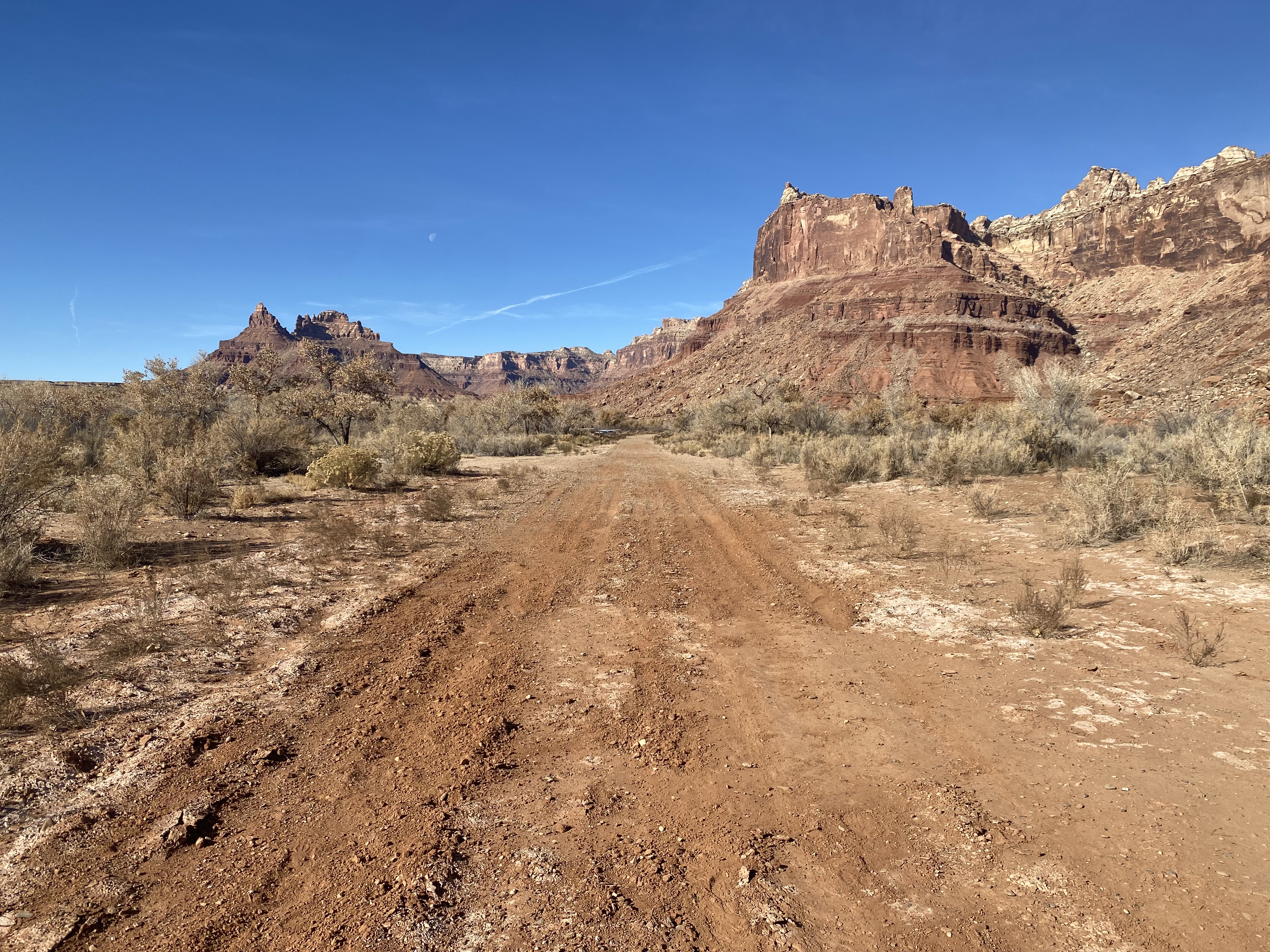
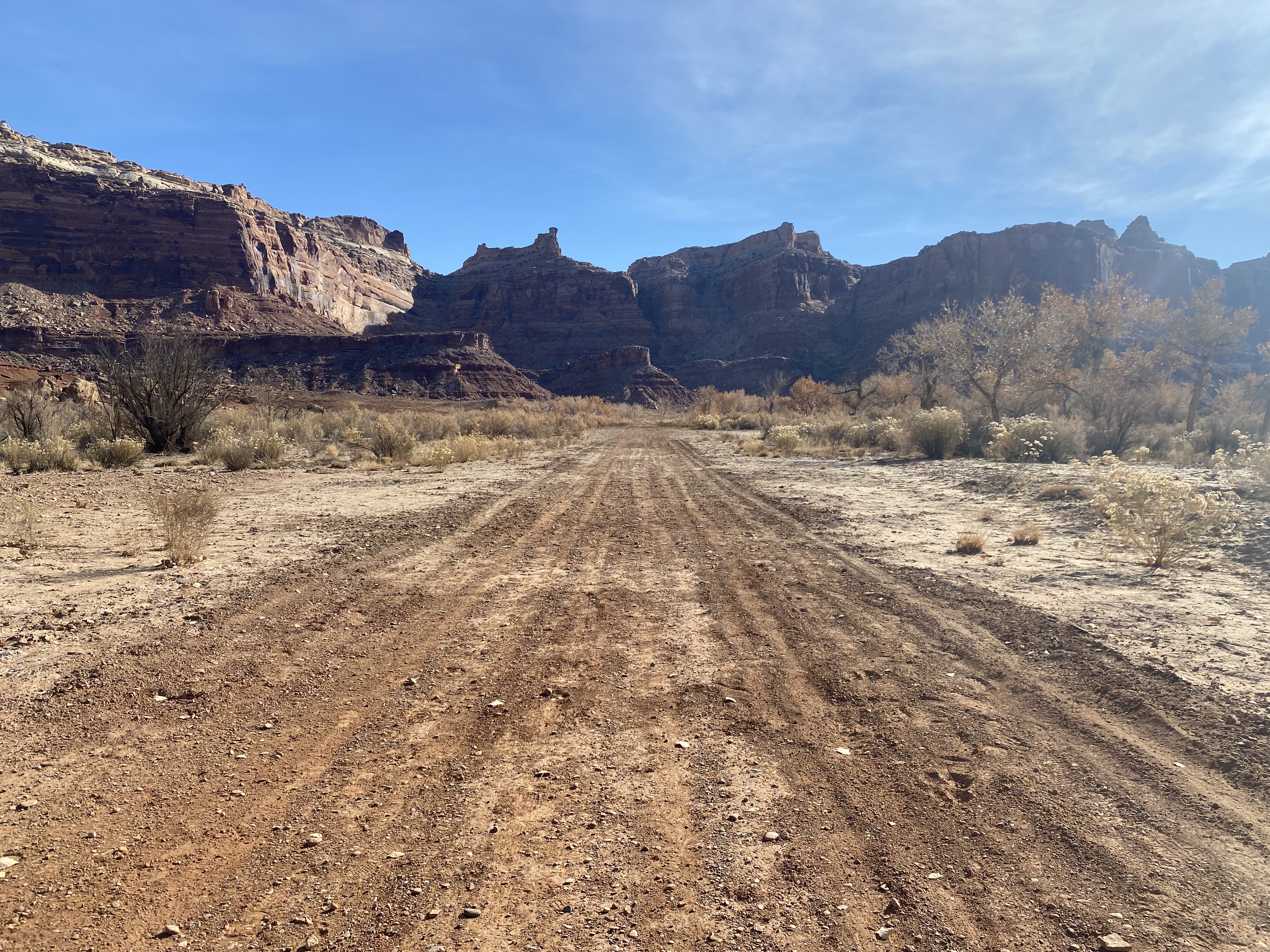
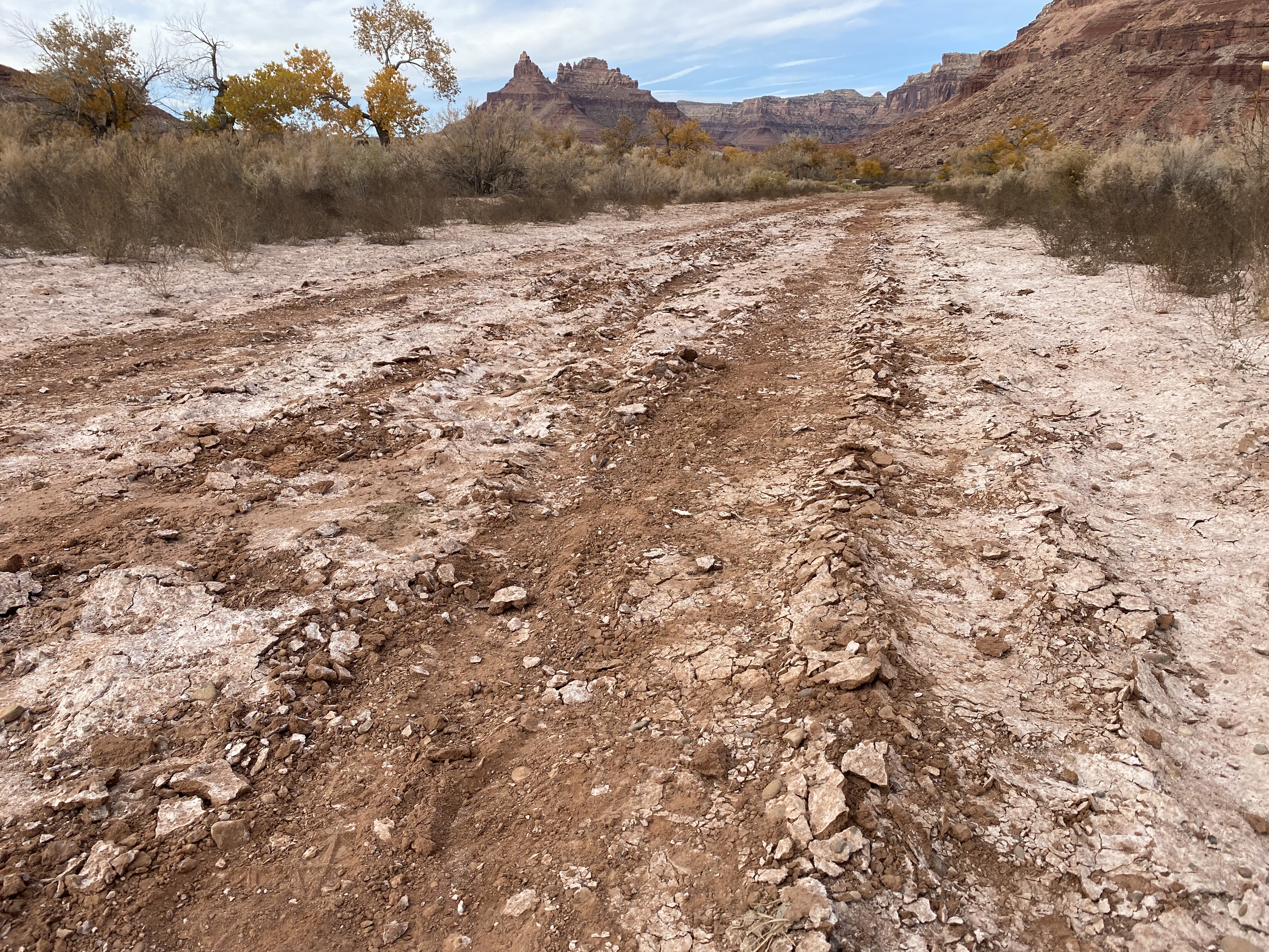
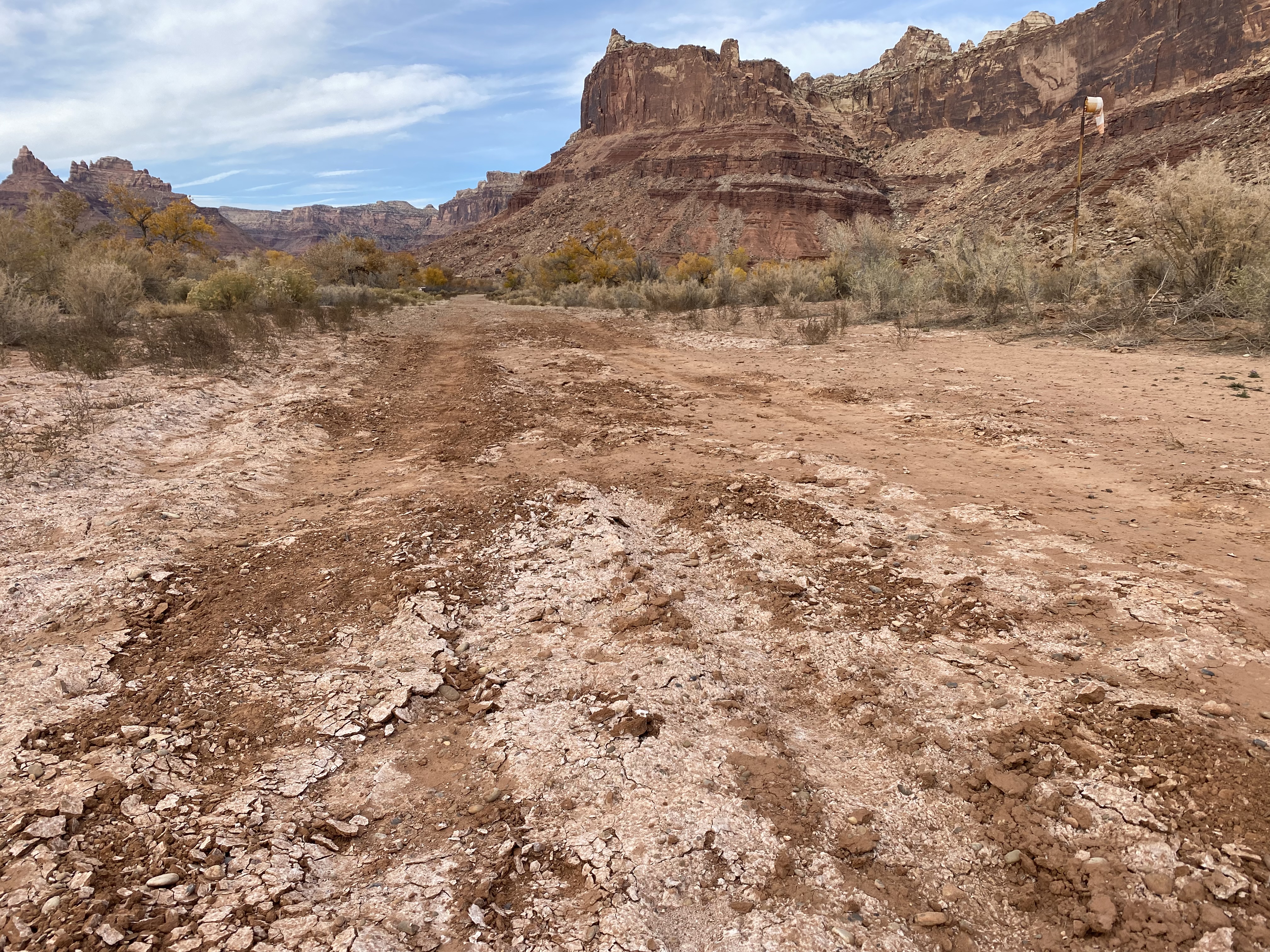
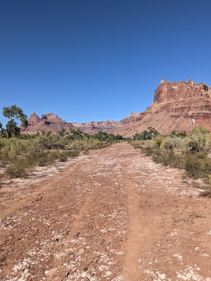
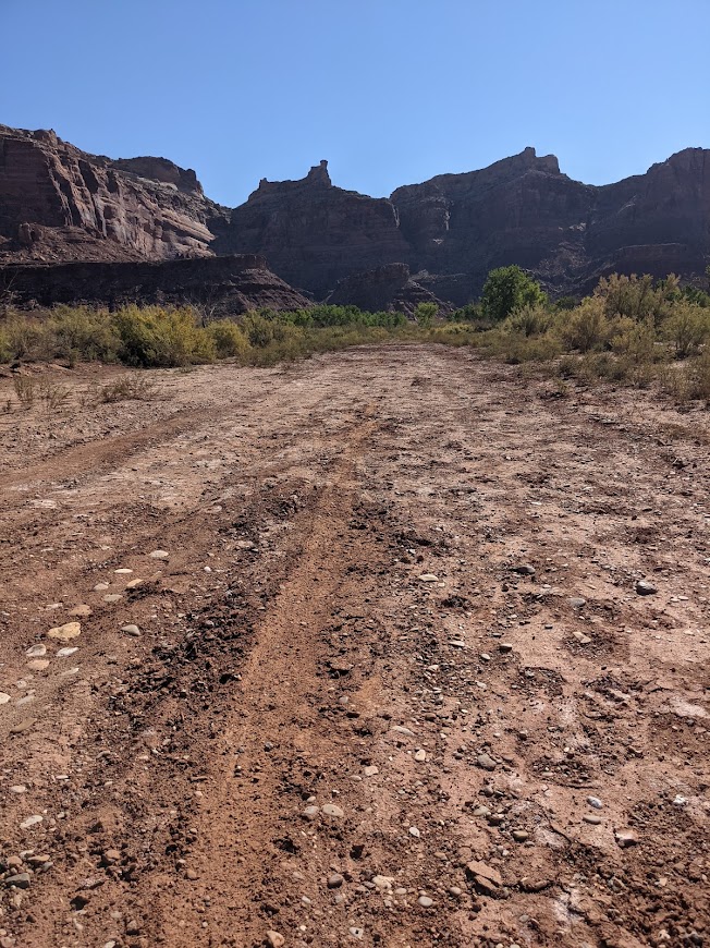
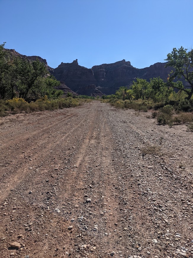
Runway: 1900 ft long x 40 ft wide dirt runway in good condition. Slopes uphill slightly to the west. First 500' from the east is more soft than the rest of the runway and has a "dark spot" that appears wet throughout the year.
Approach Considerations: Tall trees (30+ ft) on both sides of the runway present a hazard when landing to the east (downhill). Typically land to the west and depart to the east. Tall trees alongside the runway as well.
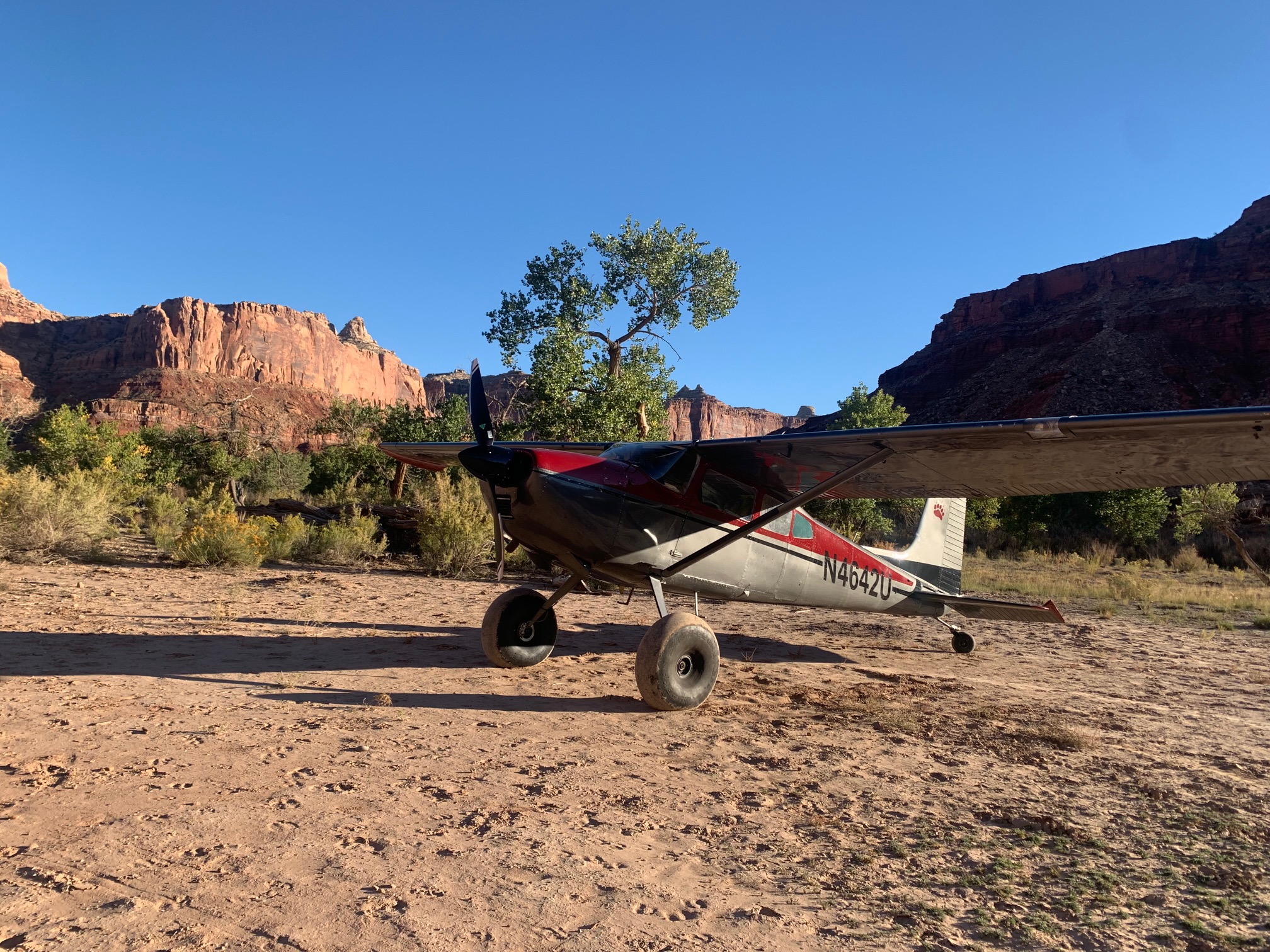
Amenities: Campgrounds and fire rings (please use already established camping/parking areas and fire rings).
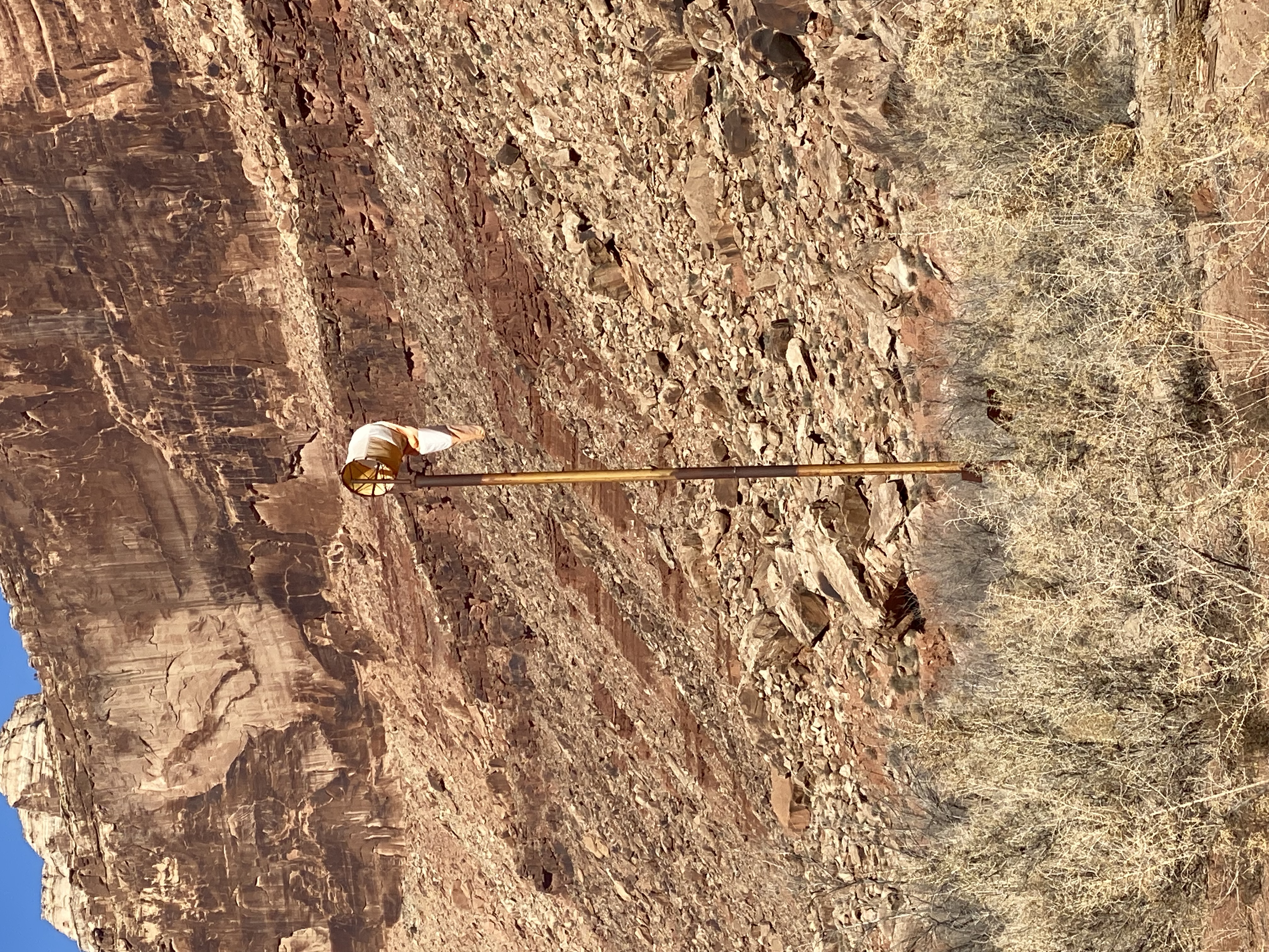
Windsock: Yes, located east of the runway.
Airstrip is in great condition! Eastern end of runway is a little softer than the west end (as usual) and some two inch depressions make it a little more rough than the west end. Brush alongside the runway (pictured below) May encroach upon low wing type airplanes landing here but this vegetation appears to be quite sparse.
Airstrip is a bit soft in some spots and trenches from wheels have formed. A rake and a few hours would flatten it out, and then the rains will settle it I think. Leaves are beautiful right now, probably soon on their way out. Also, the fire pit needs ashes buried. We should probably help make people aware that the should bury their ashes in this wilderness area.

We haven't written a history for this airstrip yet. If you would like to provide us with some information about this strip, please contact us today!