Airstrip Info
| Frequency | 122.90 |
|---|---|
| Elevation | 4200 ft |
| Lat/Long |
37.3229, -113.9564 37° 19.374' , -113° 57.384' |
| Runway 4/22 |
2175 ft
x 20 ft
Dirt |
| Ownership | BLM |
Weather
See more at the National Weather Center
Information updated January 6, 2021 @ 8:22pm
Description: Thanks to Larry Nagel for giving us a report on the airstrip! Here's his description:
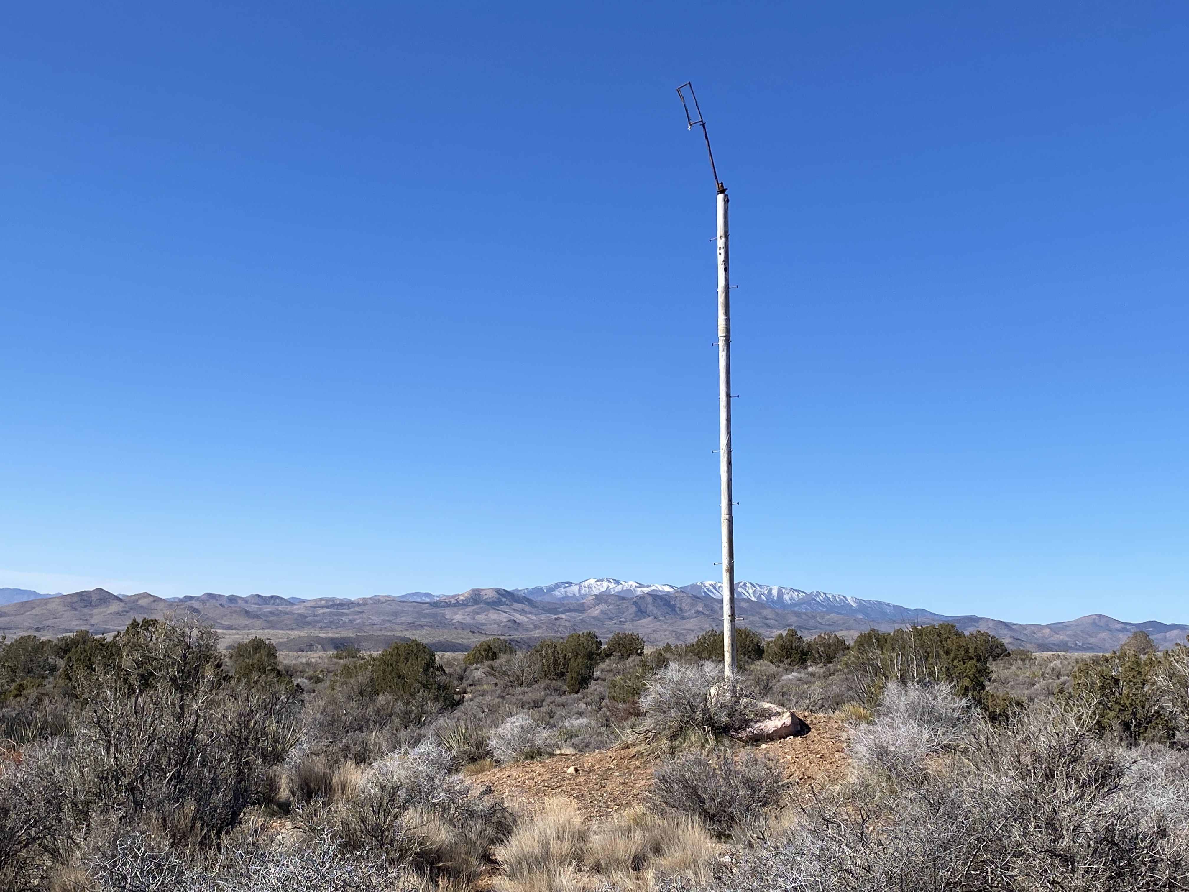
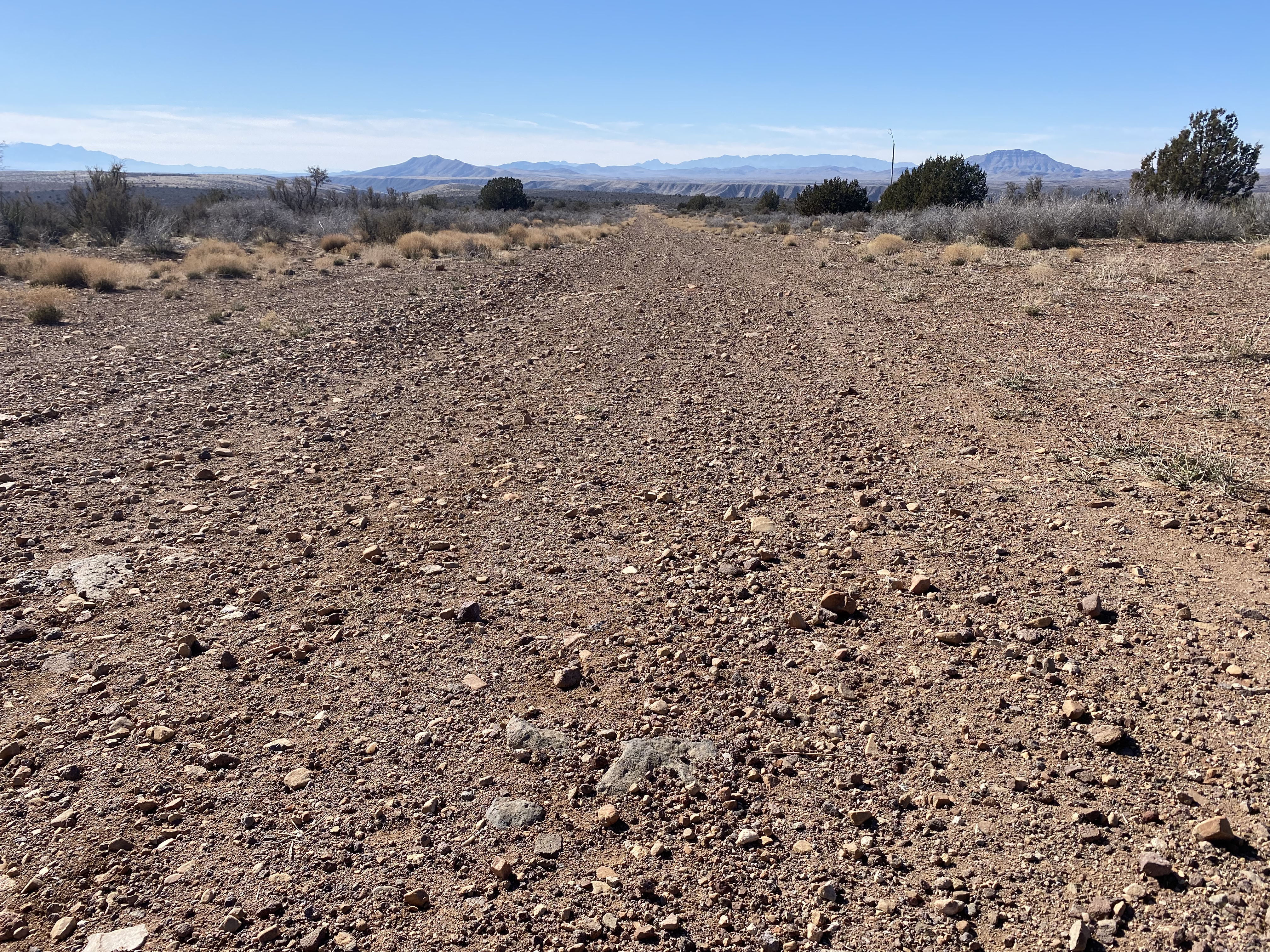
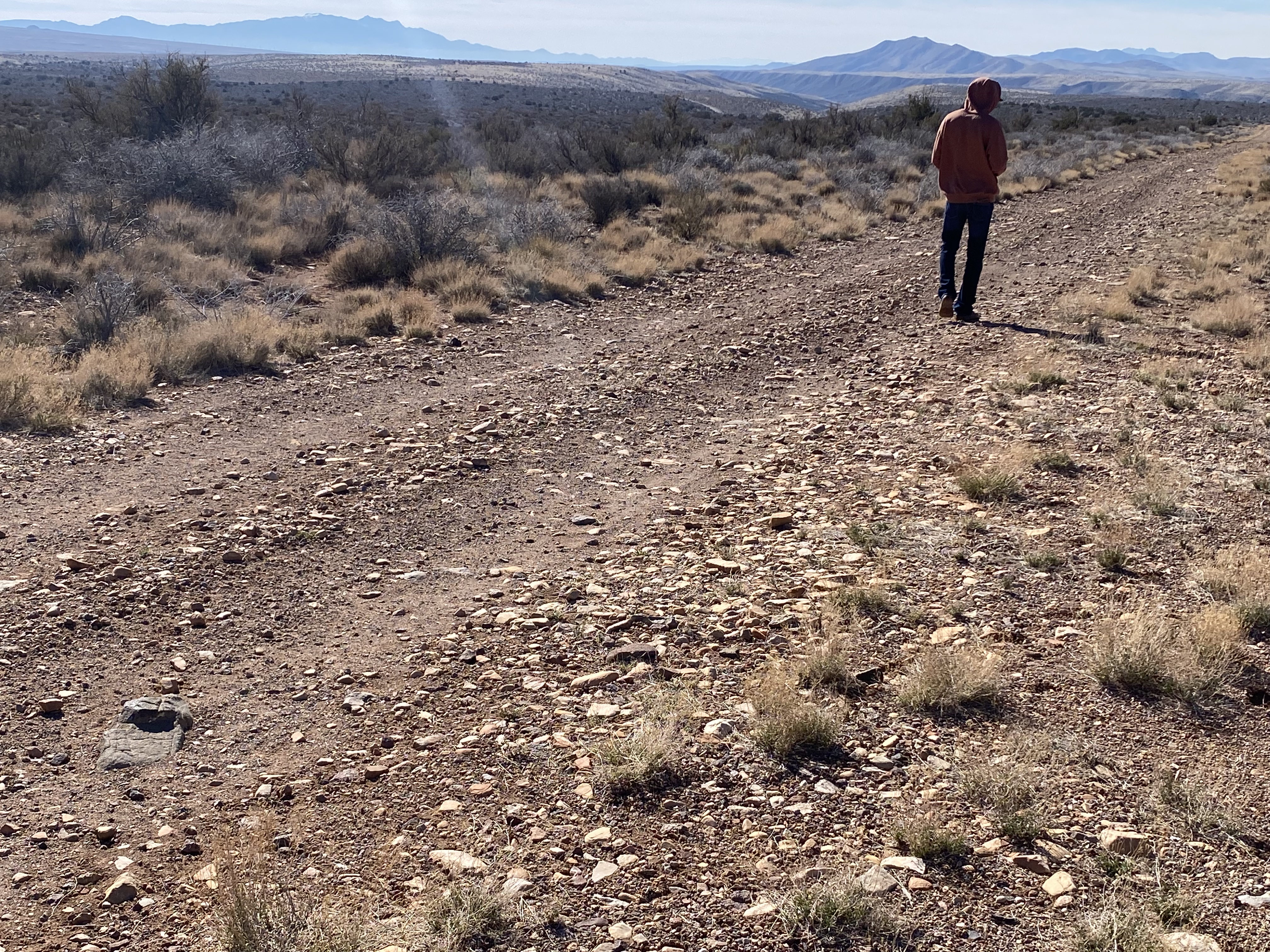
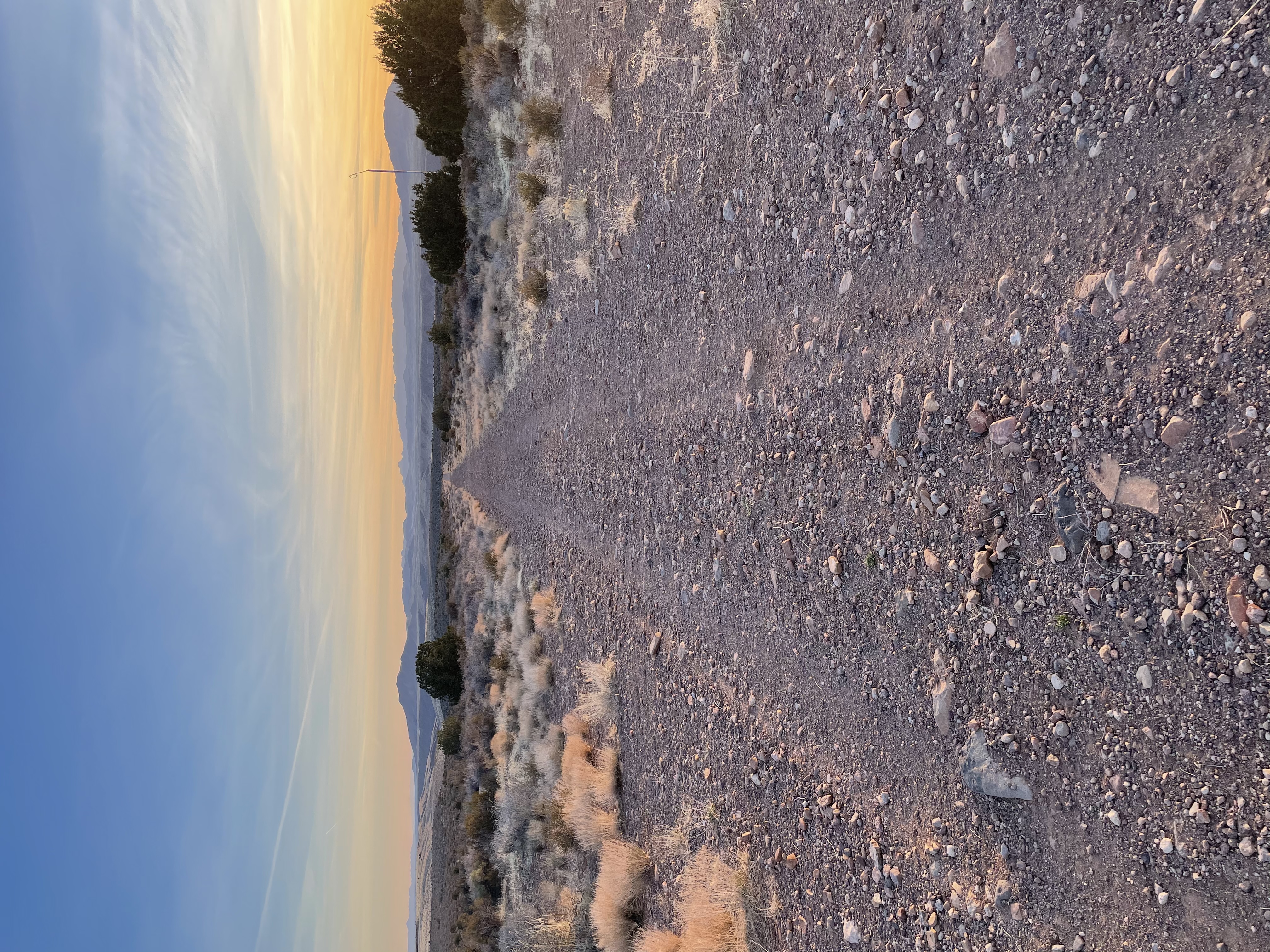
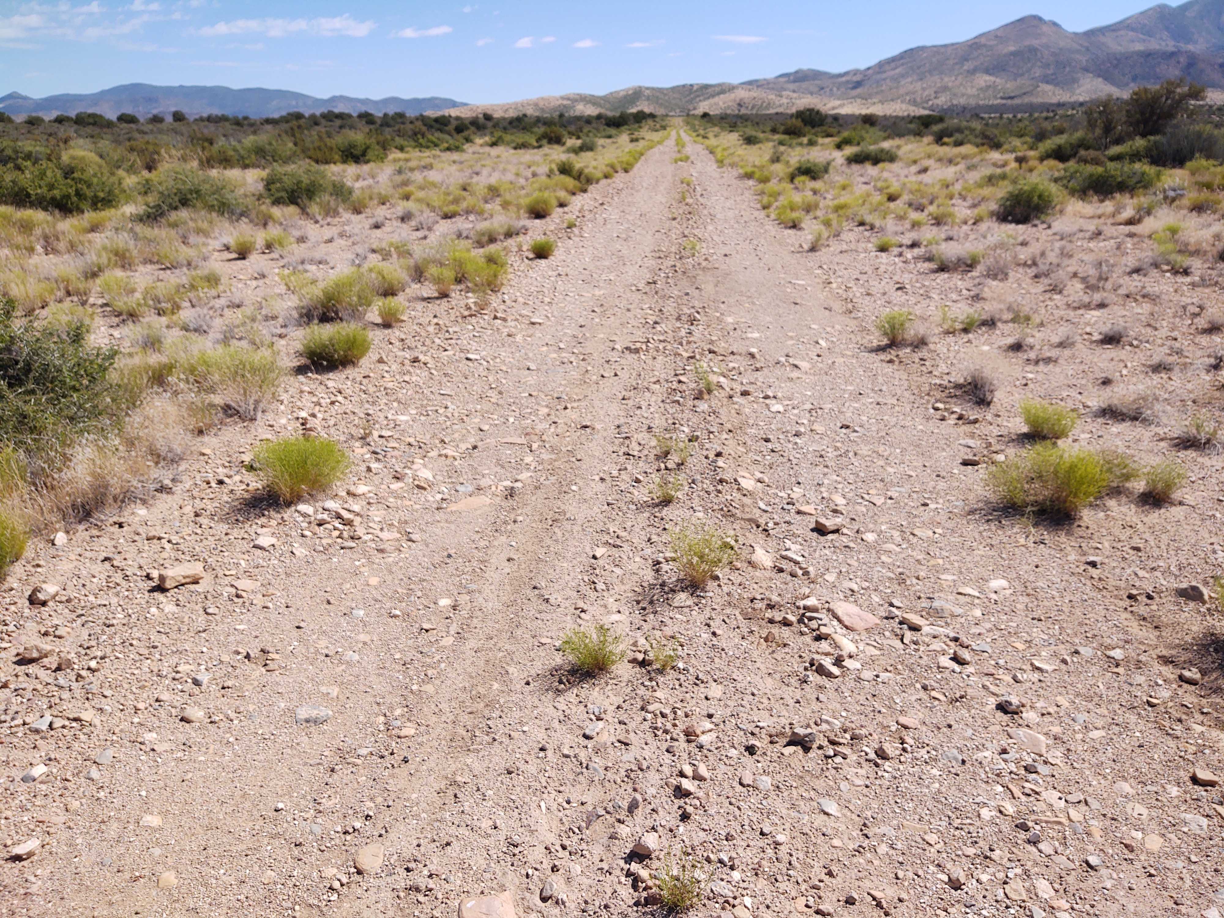
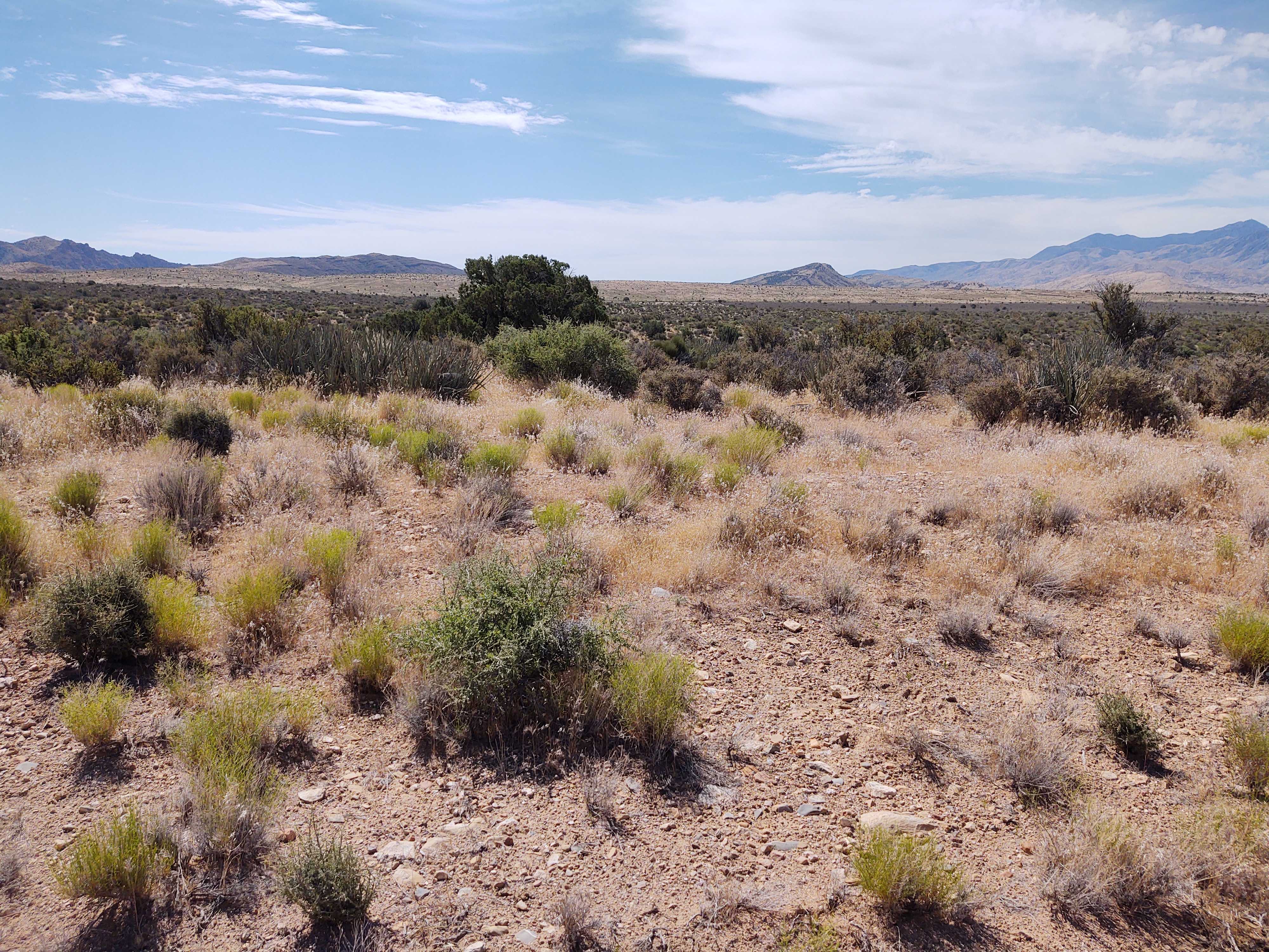
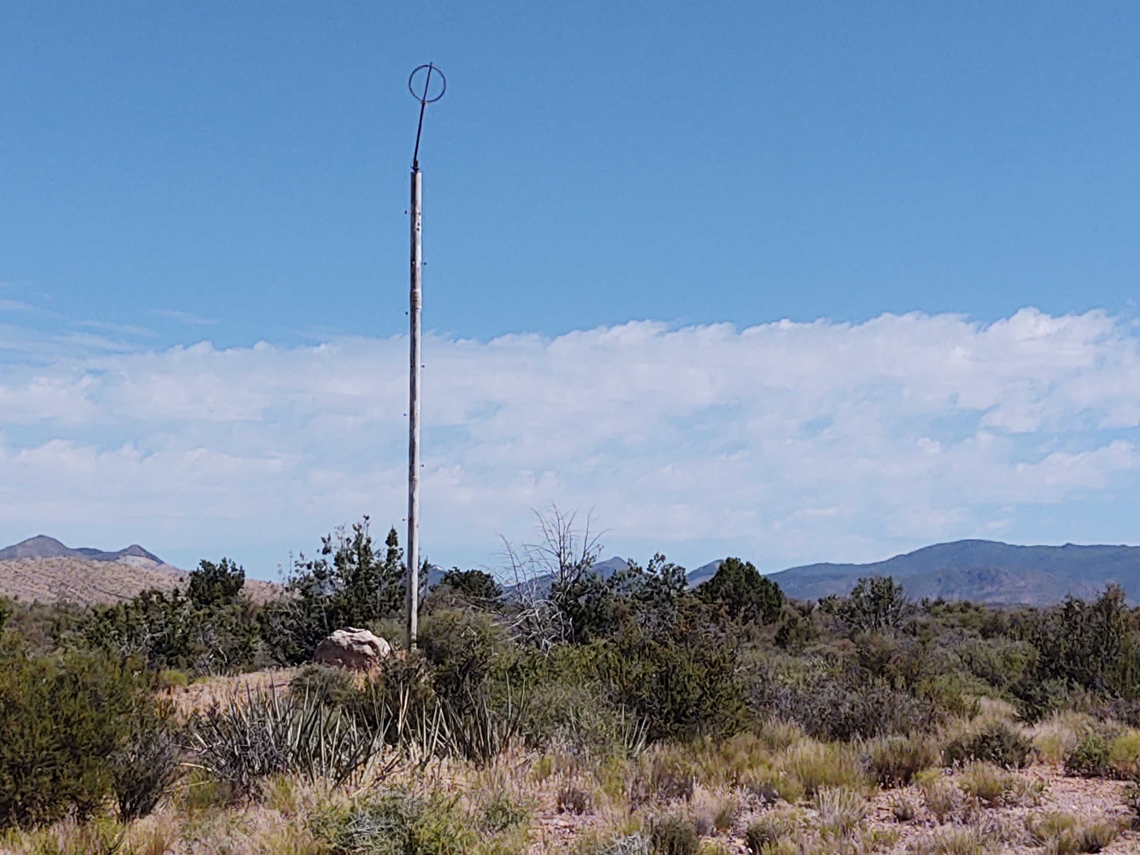
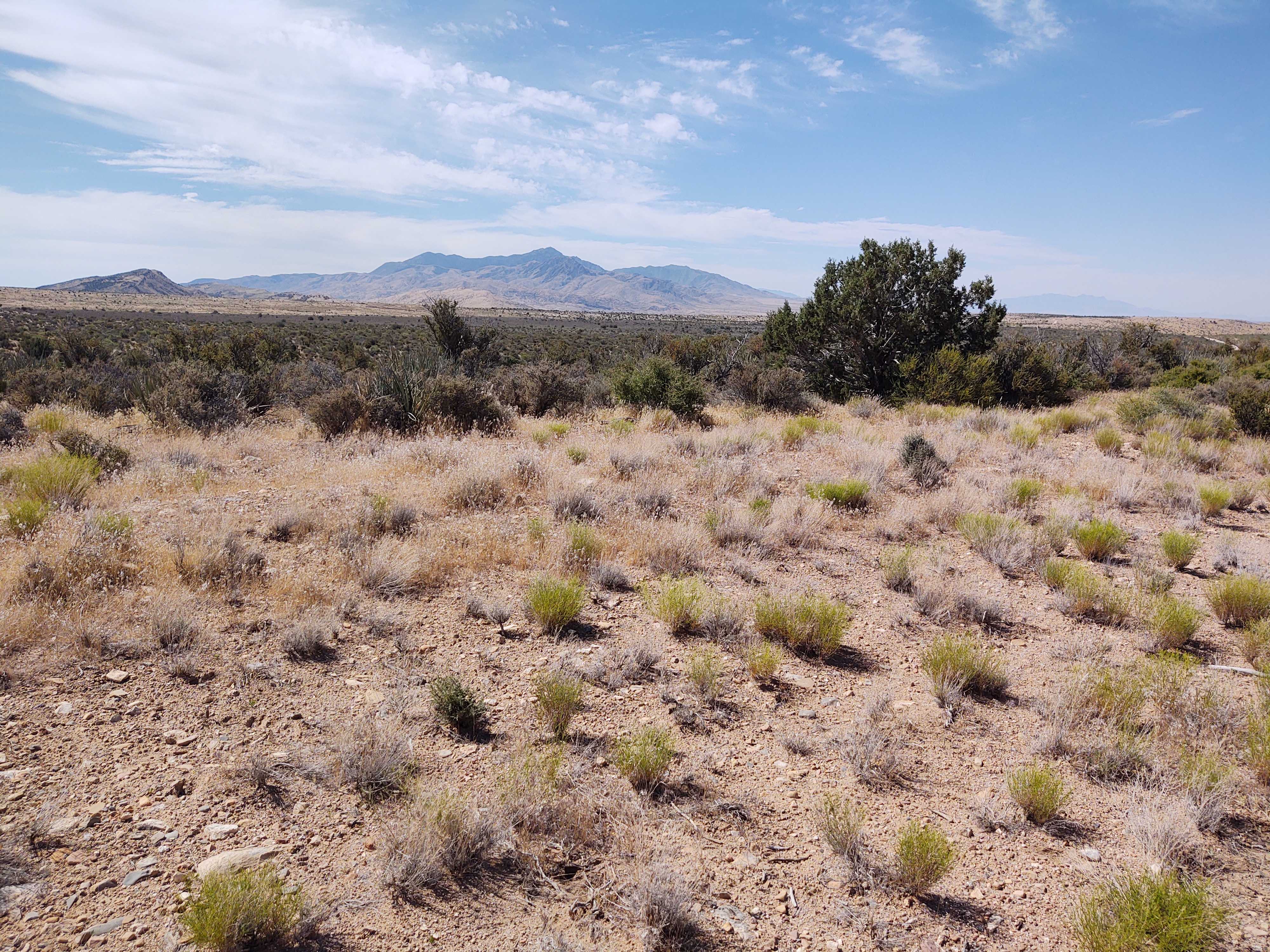
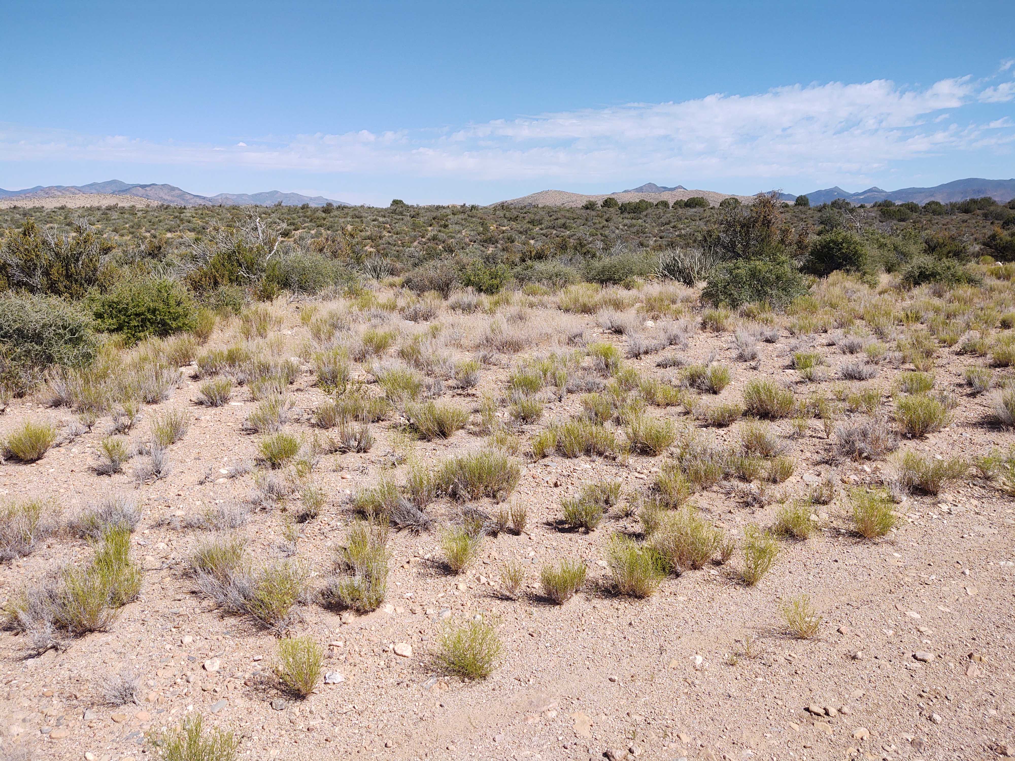
Finally, a backcountry strip on my side of the state. It's just a 20 minute flight from the Hurricane airport rather than the two hours it takes to get from here to most of the strips. Unfortunately this strip isn't what one might call prime real estate. When I got there I had trouble identifying it because it looks just like a two-track used by ATVs. As a matter of fact there were a couple of side-by-sides that showed up just before I took off. I finally decided that what I was looking at was indeed the airstrip when I saw a tall white pole that looked like it may have carried a wind sock at one time. The strip is mainly rocky terrain with stones that range from golf ball size to grapefruit and larger size. Very bumpy the say the least. There is short brush and some 10 to 15 feet high juniper trees on either side. There is a noticeable grade with the south end being about 89 feet lower than the north end. About 200 to 300 feet south of the north end there is a slight jog in the strip.
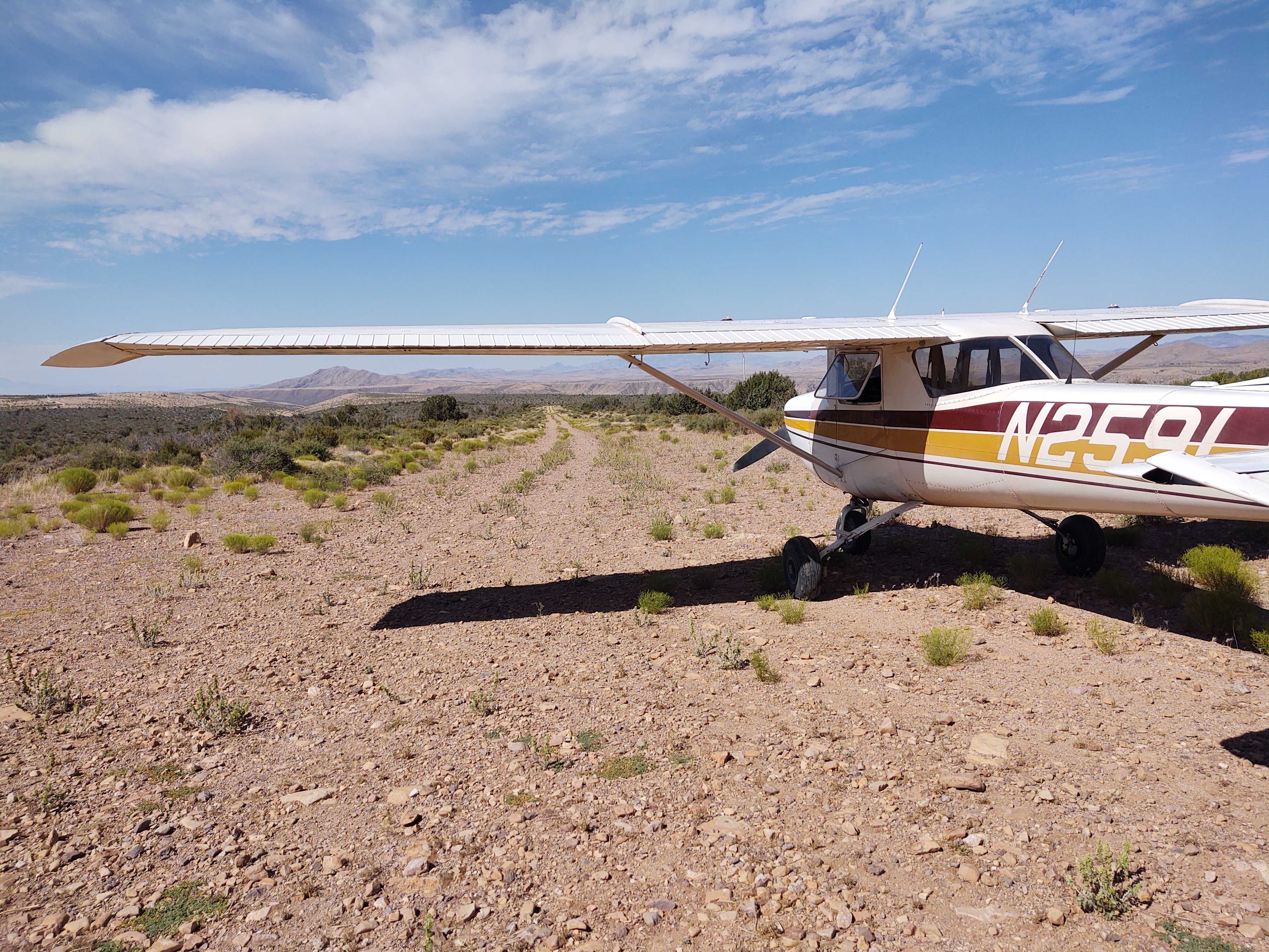
Runway: 2175 ft long x 20 ft wide two-track road-like runway sloping uphill slightly covered in rocks.
Approach Considerations: Be on the lookout for other trail users (ATV/UTVs) on the landing surface.
Amenities: No
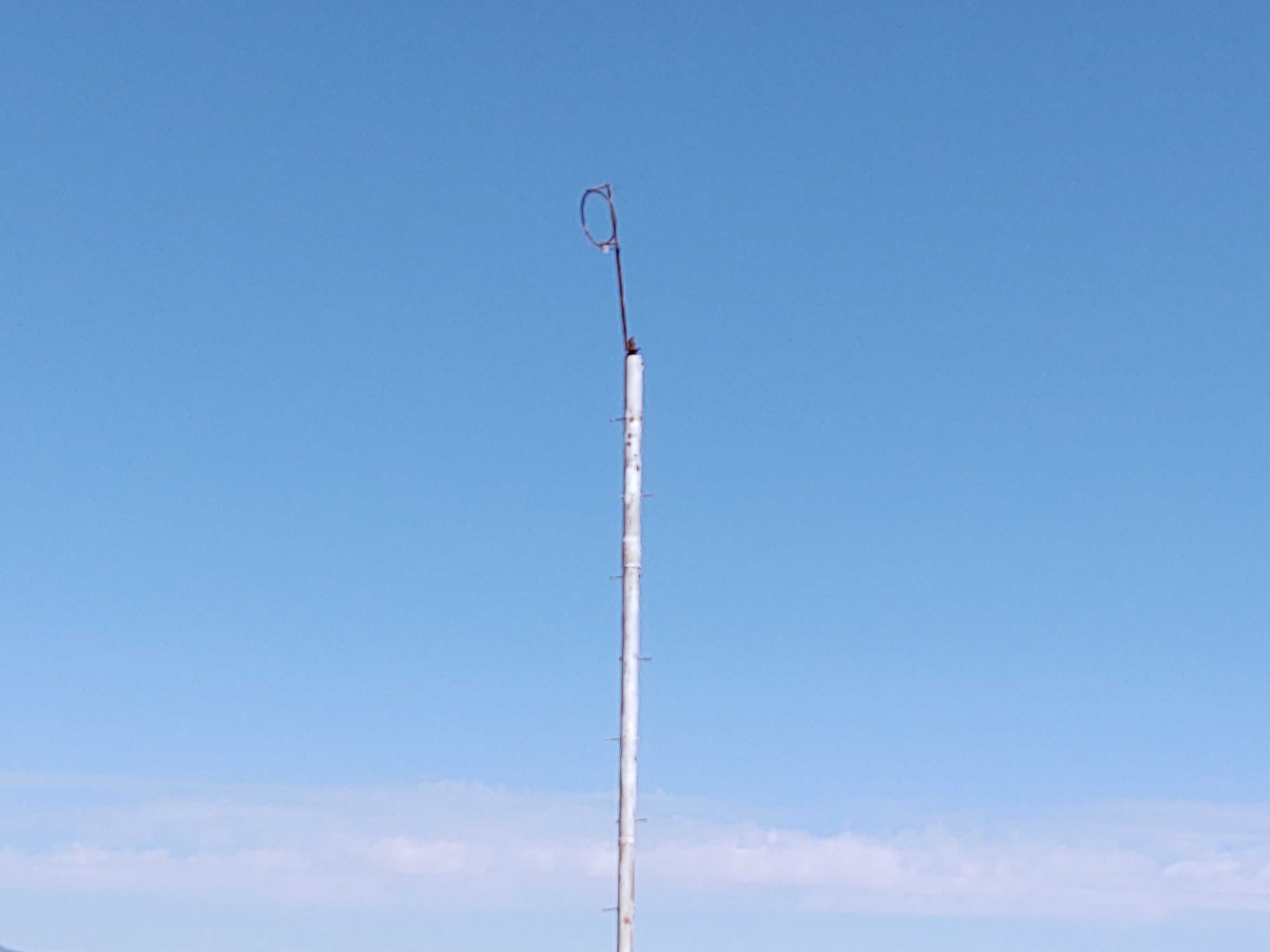
Windsock: Has a pole, needs a windsock (maybe a frame too?)


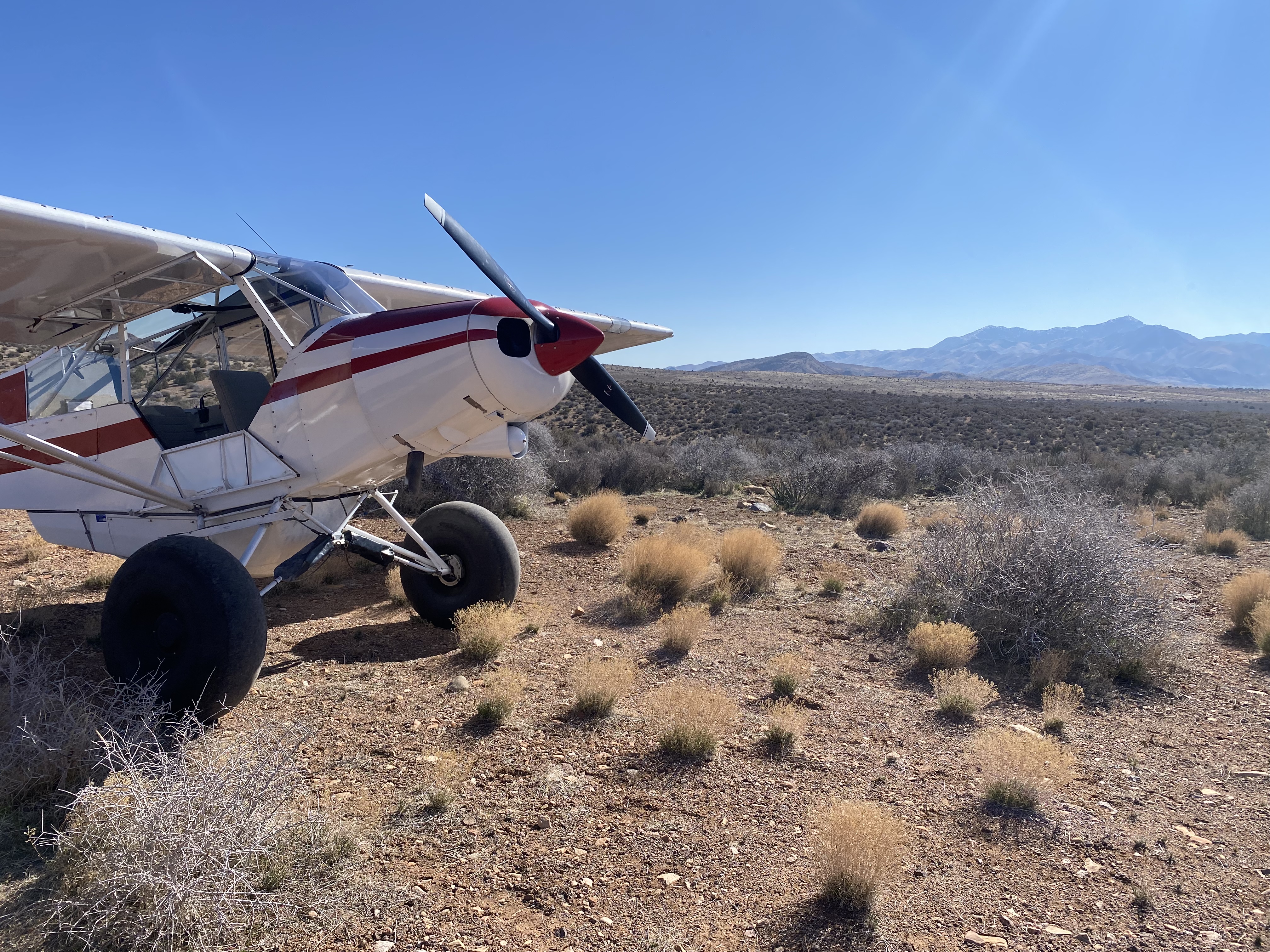
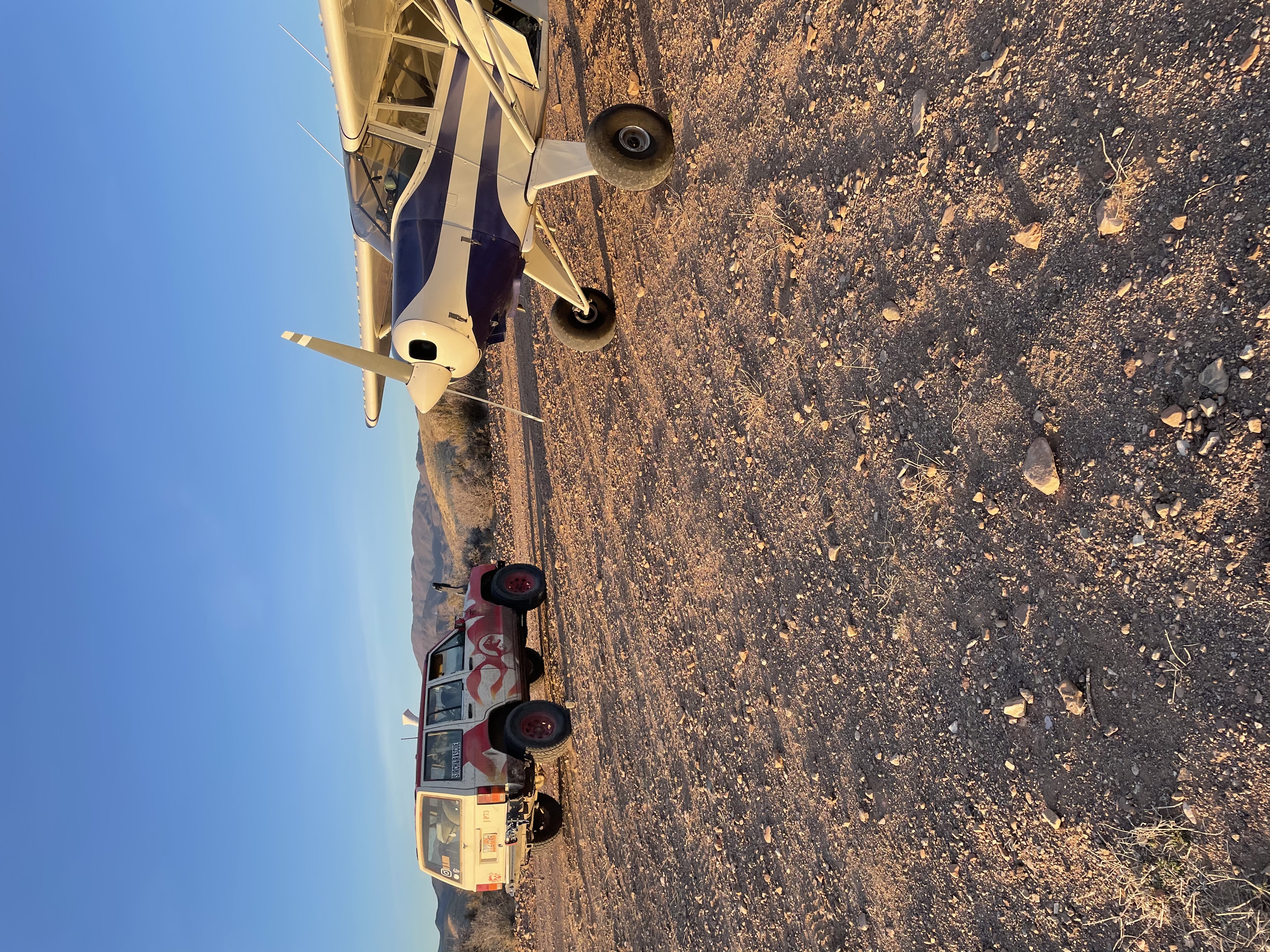
The strip is somewhat rough, 2 track atv/off-road trail. Did a low pass to check the winds and condition, scared a herd of deer so recommend a low pass (at any backcountry strip of course). Removed a big rock that was in the middle of the strip and a saw blade, and picked and tossed some smaller rocks too. walked the strip and it’s in decent shape, but rockier than a hidden splendor or something. Would recommend slightly bigger tires. 8.50 minimum. There were some campers nearby. Nice little spot for an overnight or a lunch break from StG. Uphill landing to the north, with a bit of rising terrain be aware. Did a downhill takeoff into lowering terrain.
Fun little strip. Had to go around on short final due to Jeeps on the runway. Talked with them after we landed. Good folks. A few bumpy spots. Slow down on roll out so you don’t abuse the tailwheel. We threw some of the bigger rocks off the runway for the next guys who land. Gorgeous at sunset. Camping potential. Needs windsock.
Finally, a backcountry strip on my side of the state. It's just a 20 minute flight from the Hurricane airport rather than the two hours it takes to get from here to most of the strips. Unfortunately this strip isn't what one might call prime real estate. When I got there I had trouble identifying it because it looks just like a two-track used by ATVs. As a matter of fact there were a couple of side-by-sides that showed up just before I took off. I finally decided that what I was looking at was indeed the airstrip when I saw a tall white pole that looked like it may have carried a wind sock at one time. The strip is mainly rocky terrain with stones that range from golf ball size to grapefruit and larger size. Very bumpy the say the least. There is short brush and some 10 to 15 feet high juniper trees on either side. There is a noticeable grade with the south end being about 89 feet lower than the north end. About 200 to 300 feet south of the north end there is a slight jog in the strip. My handheld GPS indicated the the north end of the strip is at 37.3255 degrees N latitude and 113.9538 degrees W longitude with and elevation of 4258 feet. The south end of the runway is at 37.3209 degrees N latitude and 113.9586 degrees W longitude with an elevation of 4169 feet. That resolves to magnetic headings of 4 degrees and 220 degrees and an overall length of 2175 feet.

We haven't written a history for this airstrip yet. If you would like to provide us with some information about this strip, please contact us today!