Airstrip Info
| Frequency | 122.90 |
|---|---|
| Elevation | 5187 ft |
| Lat/Long |
37.2531, -109.9204 37° 15.186' , -109° 55.224' |
| Runway 6/24 |
1800 ft
x 50 ft
Dirt |
| Ownership | BLM |
Weather
See more at the National Weather Center
Information updated April 26, 2024 @ 2:33pm
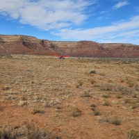
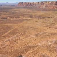
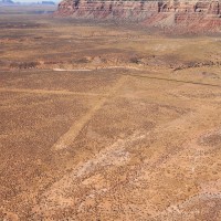
Two crossing strips. Overgrown. Could be a candidate for rehab and a windsock.
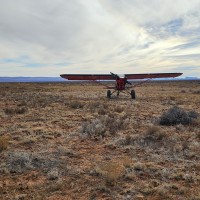
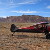
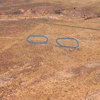
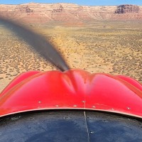
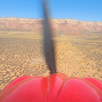
The wind was just right today. I was able to land on the closest circle to the intersection; see last report. According to OnX it appears to be roughly 300 feet +/- usable. I don't recommend landing here unless you have 31's or 35's.... ditches and overgrowth if your roll is long. Needs some major work. Appears to have other STOL spots around it, but they are not on the actual strip.
Almost all of both runways look unusable, unless you like to rodeo. I tried to land on the two spots circled in one of the pictures, but could never get slow enough today. Very doable for STOL capable cubs with big tires, I just didn't have it today. I'm guessing both spots were about 250 to 300 feet each, maybe a little more or less. I rolled them several times in all directions and couldn't make it happen. I'll be back. This spot needs some work.
The UBCP is currently searching for the Valley of the Gods airstrip historical data. From Galen Hanselman's book "Fly Utah!" the following was said about the airstrip:
The origin of the airstrip is uncertain, but it is believed to have been bladed out during the construction of the Moki Dugway. Although airstrips and oil explorations generally go together, the drilling that took place in this area was undertaken during 1908 to 1919, and it likely predates aerial shuttling of men and material. By backcountry standards, this was once a deluxe airstrip, having two good-sized runways with great approaches on an unusually flat piece of ground.
