Write an Airstrip Report
Airstrip Info
| Frequency | 122.90 |
|---|---|
| Elevation | 7154 ft |
| Lat/Long |
38.7019, -109.0434 38° 42.1152' , -109° 2.6022' |
| Runway 14/32 |
3300 ft
x 40 ft
Dirt/Grass Rwy 14 Uphill 1.7% |
| Ownership | BLM |
Weather
See more at the National Weather Center
Backcountry airstrips are inherently dangerous. It is the sole responsibility of the Pilot in Command to ascertain airstrip conditions prior to use. Be certain to consider environmental, aircraft, and personal factors when determining suitability.
Use of the airstrips is at the sole discretion of the Pilot in Command. Fly safe!
Information updated May 13, 2021 @ 7:39pm
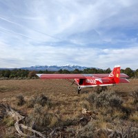
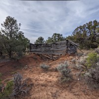
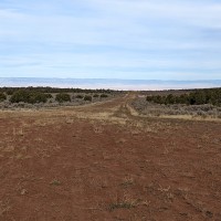
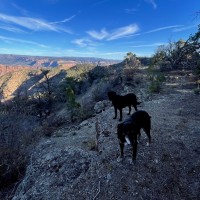
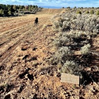
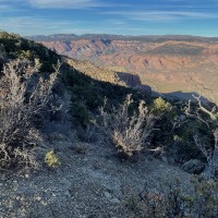
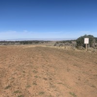
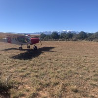
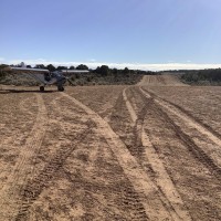
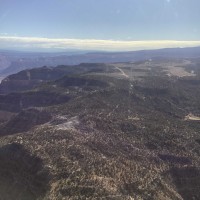
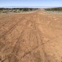
Be Aware of Canyon winds and density altitude. Runway 14 has a 1.7% uphill grade and several uneven “humps”. Use caution, the southern 3rd of the runway has a rut developing (several inches wide and deep by 80ft long) in the center of the runway (see picture). Parking area contains old mining debris, park with caution. No water or facilities near the airstrip.
Make your Flight Plan at SkyVector.com
We haven't written a history for this airstrip yet. If you would like to provide us with some information about this strip, please contact us today!
