Airstrip Info
| Frequency | 122.90 |
|---|---|
| Elevation | 5945 ft |
| Lat/Long |
38.3888, -110.163 38° 23.328' , -110° 9.78' |
| Runway 17/35 |
946 ft
x 30 ft
Dirt Rwy 17 Uphill 0.5% |
| Ownership | BLM |
Weather
See more at the National Weather Center
Information updated January 18, 2025 @ 10:29am
The Moqui Fork airstrip was not recognized in the 2025 Henry Mountains and Fremont Gorge TMP, however, the road that bisects the airstrip (Route WYBD0006) was closed to OHV use and comments regarding the "re-opening" of the airstrip say it was not considered. However, while the airstrips is "temporarily closed," the UBCP is currently working with the BLM to secure further recognition of the airstrip and hopes to "re-open" it soon.
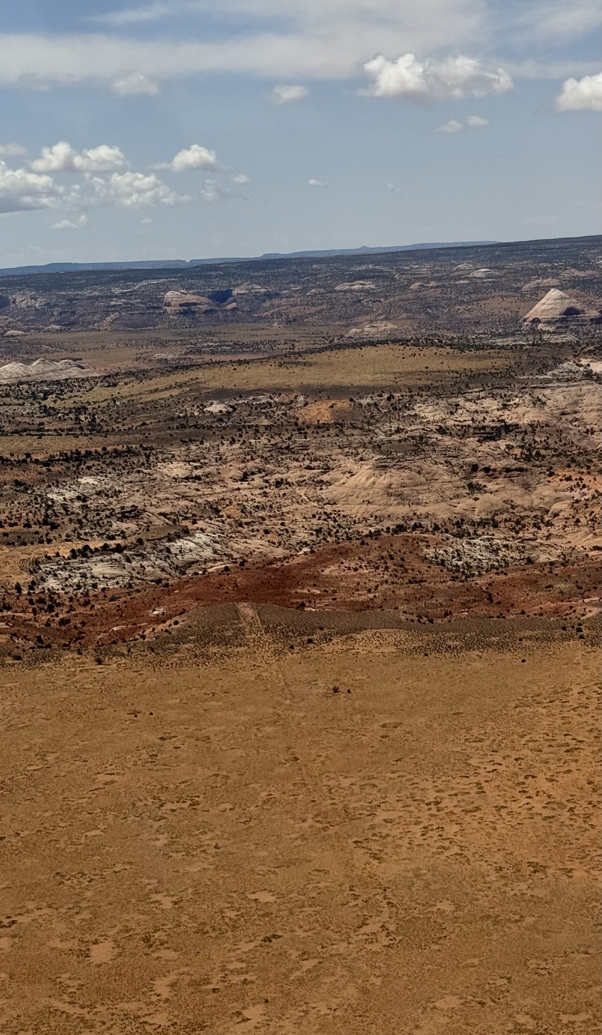
The Moqui Fork airstrip is visible from the air. The south end looks like it has some sagebrush and the middle and northern end looks more grassy. Did not get low enough to see which part of the airstrip might be best for landing. It looks like an airstrip where a skillful pilot could land a big tire Cub. The surrounding landscape is spectacular and I hope that the UBCP can work with the BLM to successfully open Moqui Fork airstrip for use.
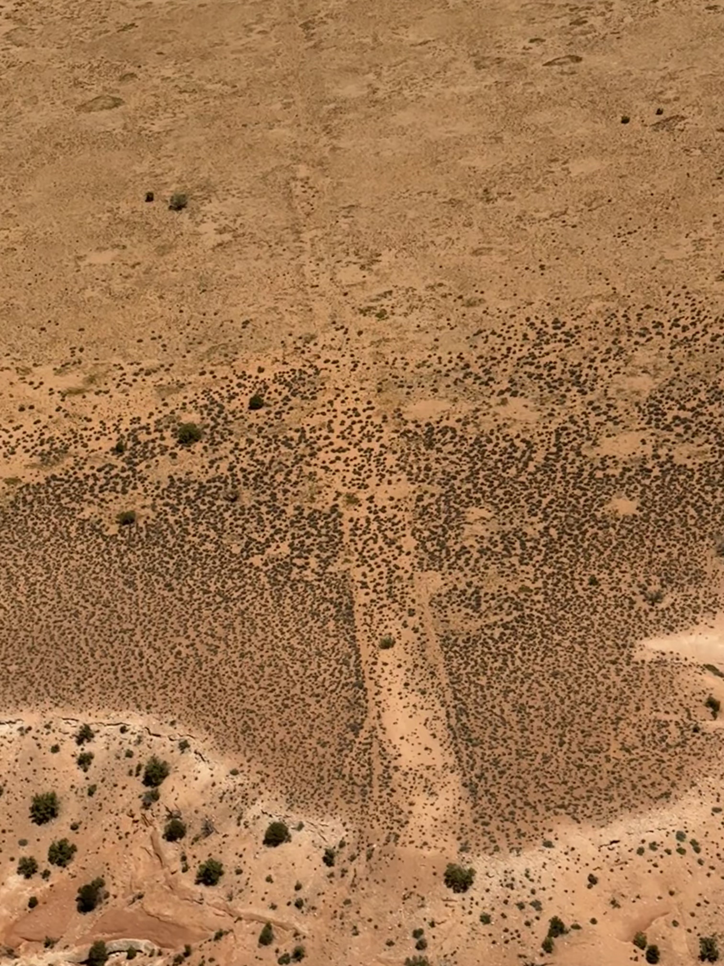
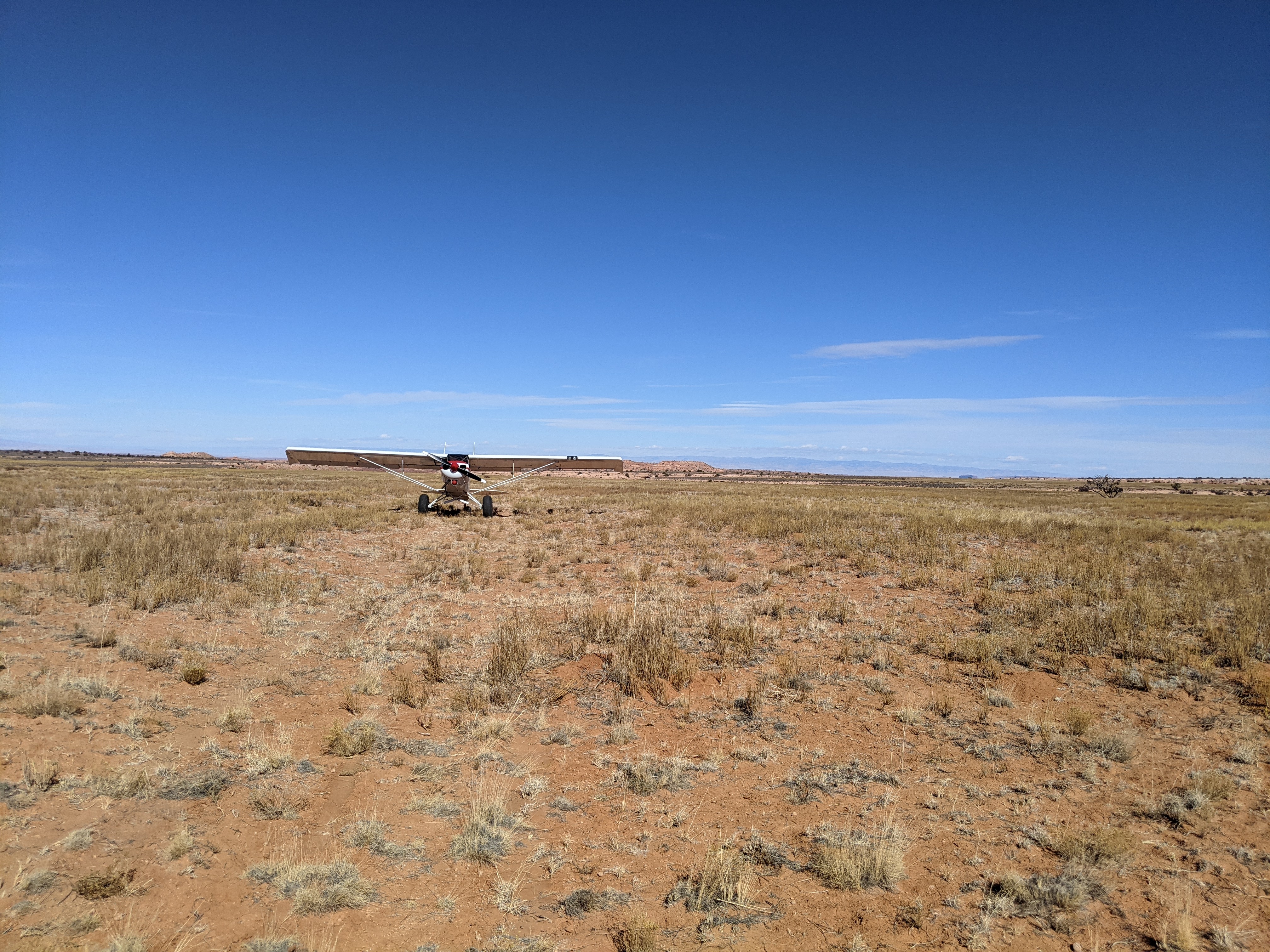
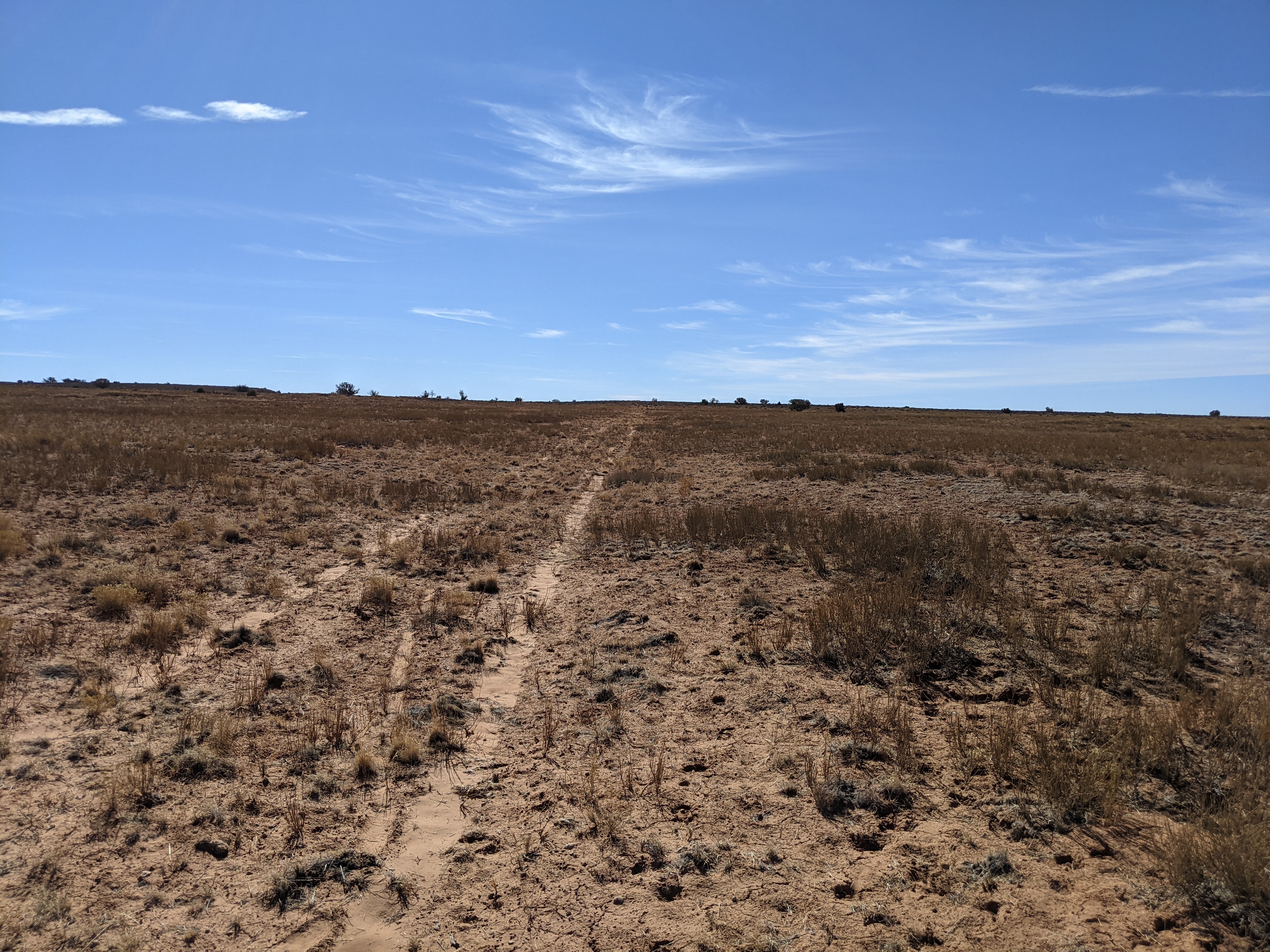
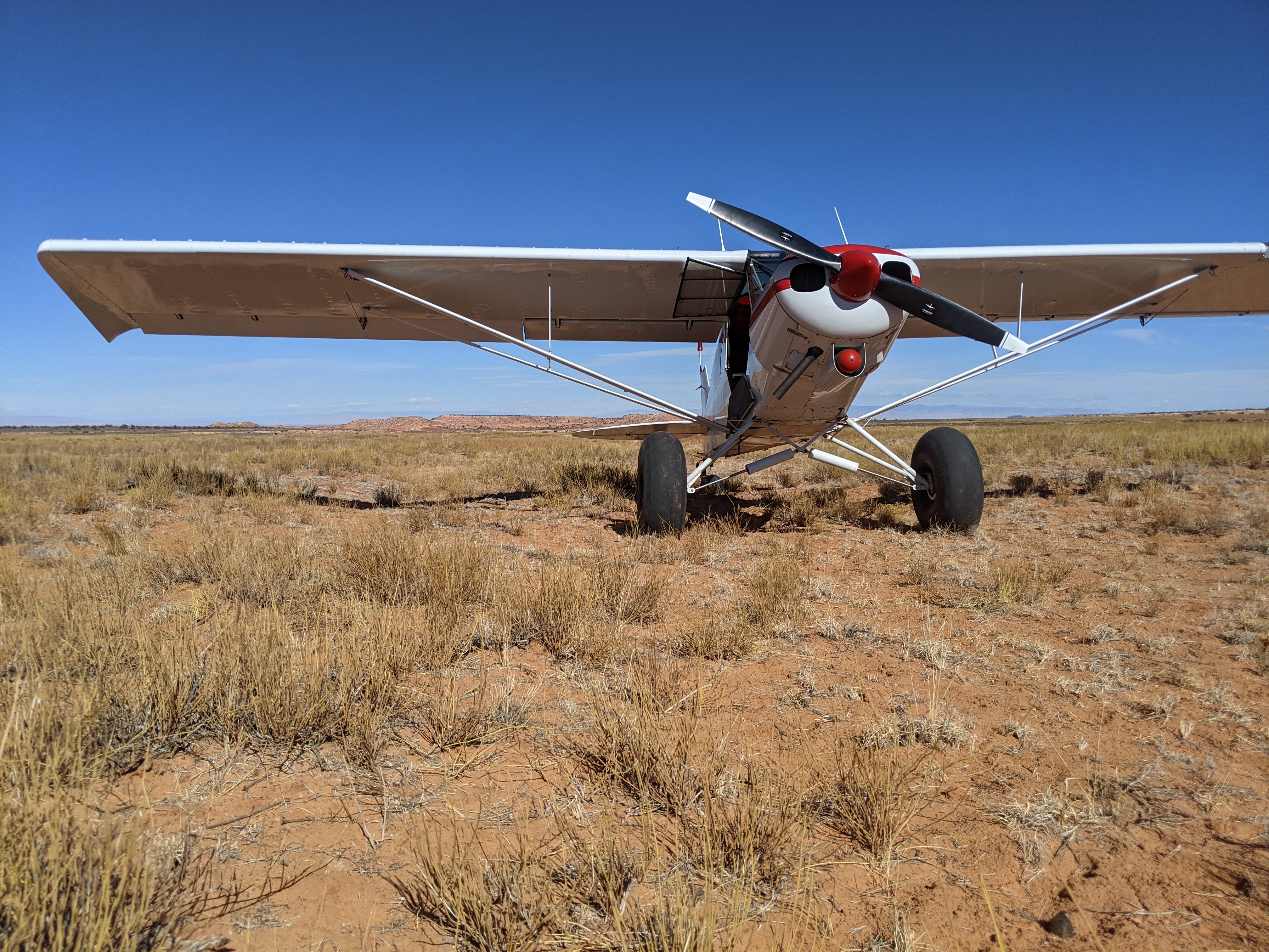
pretty rough with a lot of plants. bumps 6-8" tall. Strip has wind eroded down a bit so wing clearance would be a concern for low wing. I would recommend big tires, and tailwheel, or someone who can keep nose wheel unloaded nearly all of roll out. about 500 ft usable right now. I think with some work we could easily get 1000ft +. Land to the south, uphill in the middle of the strip

Just northwest of this strip is High Spur slot canyon
We haven't written a history for this airstrip yet. If you would like to provide us with some information about this strip, please contact us today!