Write an Airstrip Report
Airstrip Info
| Frequency | Unknown |
|---|---|
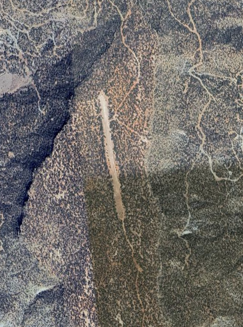
| Elevation | 6650 ft |
| Lat/Long |
38.5927, -108.8597 38° 35.5622' , -108° 51.5807' |
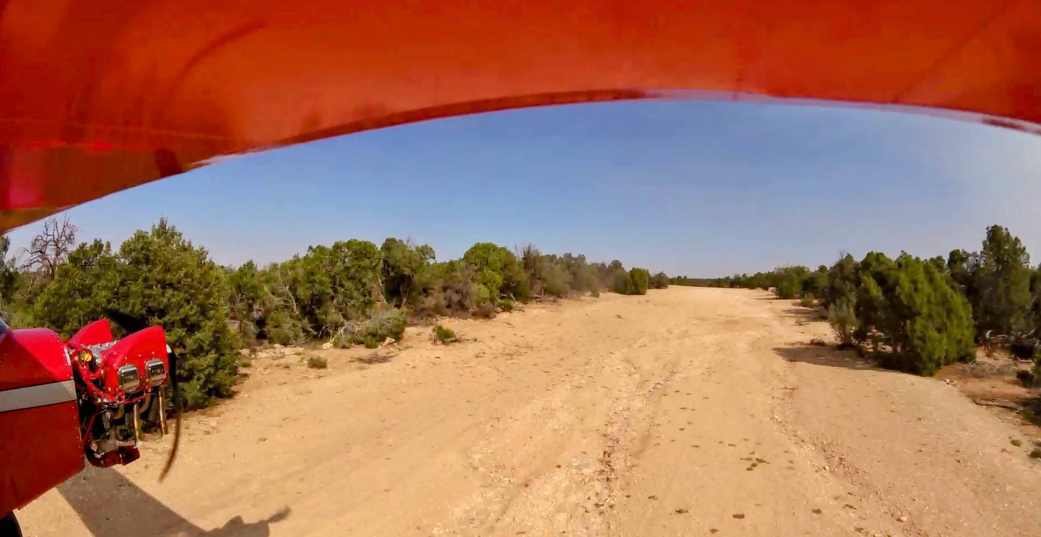
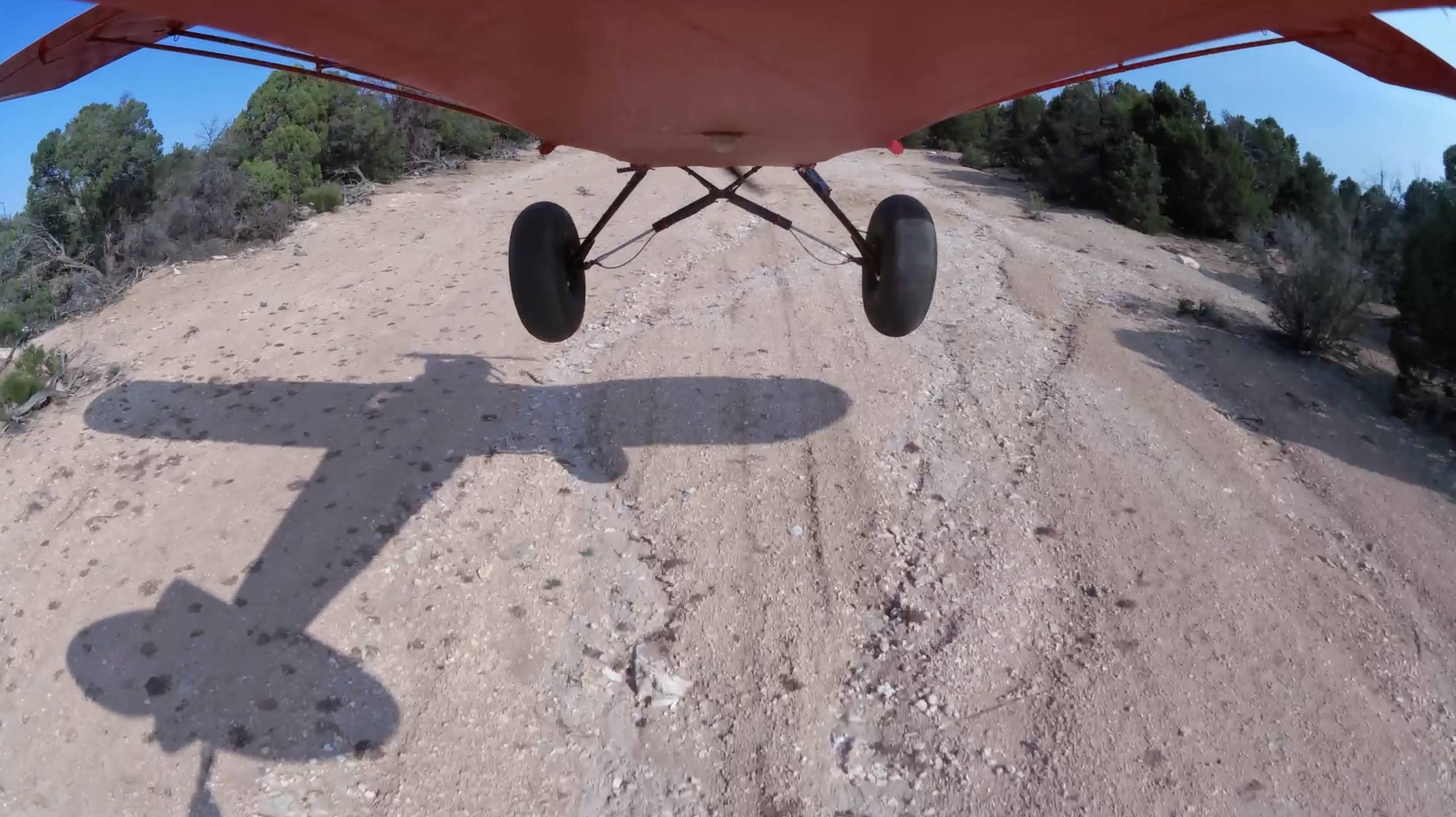
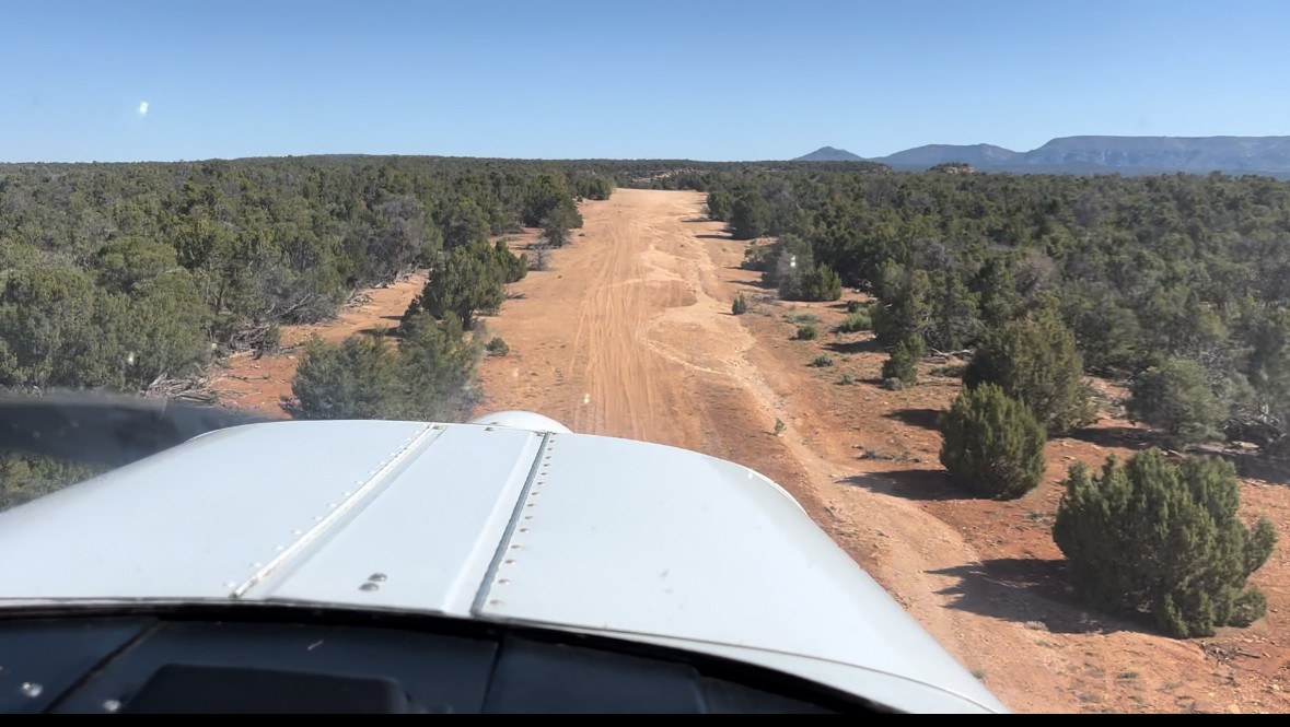
| Runway 18/36 |
1529 ft
dirt uphill to the north |
| Ownership | BLM |
Weather
See more at the National Weather Center
Backcountry airstrips are inherently dangerous. It is the sole responsibility of the Pilot in Command to ascertain airstrip conditions prior to use. Be certain to consider environmental, aircraft, and personal factors when determining suitability.
Use of the airstrips is at the sole discretion of the Pilot in Command. Fly safe!
Information updated August 15, 2025 @ 11:44am
Calamity Mesa:
Elevation: 6650'
Frequency: 122.9 (the common backcountry frequency)
Runway: 18/36
Length: 1529' usable
Runway 36 uphill (first 140' unusable)
Runway 18 downhill


Rain runoff damage from the north down to approximately mid strip. Possibly landable with 29s or larger, but ruts are deep enough to limit directional stability on the ground. Ruts are deepest to the east side of the strip, but do cross to the center line. Camping area looks great. Ruts are deeper than the images depict.
No recreational activities for Calamity Mesa yet! Add one now!
Make your Flight Plan at SkyVector.com
Calamity Mesa was a mining strip used for Uranium dating back to the 50s. There is a good hike to "Calamity Camp" (google it) on a forest service road where remnants of a mining camp still exist.