Airstrip Info
| Frequency | 122.90 |
|---|---|
| Elevation | 7538 ft |
| Lat/Long |
39.191, -110.6056 39° 11.46' , -110° 36.336' |
| Runway 15/33 |
2050 ft
x 47 ft
Dirt/Gravel Rwy 15 Uphill 0.9% |
| Ownership | BLM |
Amenities
Weather
See more at the National Weather Center
Information updated December 11, 2025 @ 9:05pm
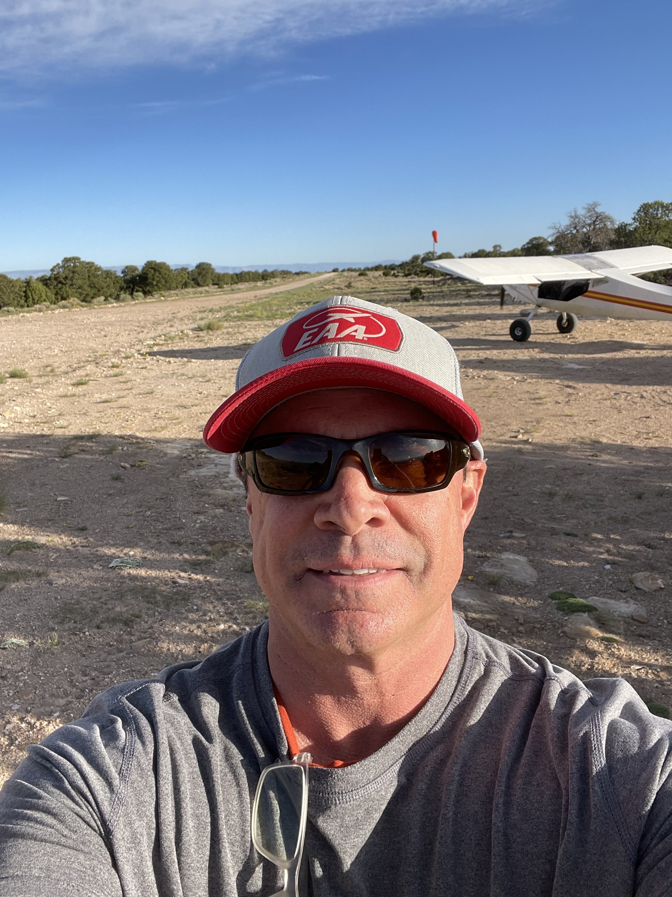
Description: Cedar Mountain's airstrip rests atop the similarly named Cedar Mountain, providing panoramic views of the Wasatch Plateau, Book Cliffs, Henry and La Sal Mountains.
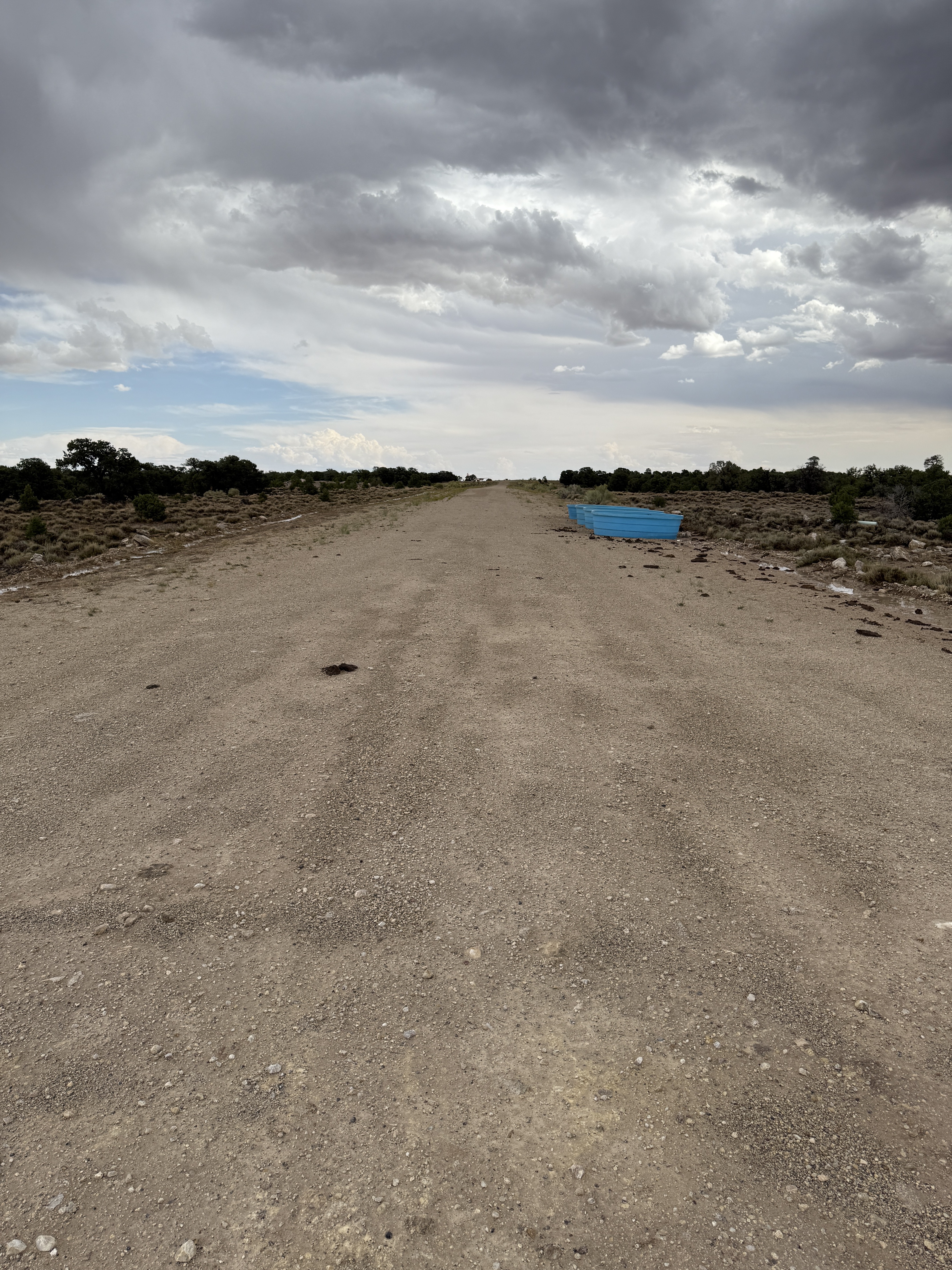
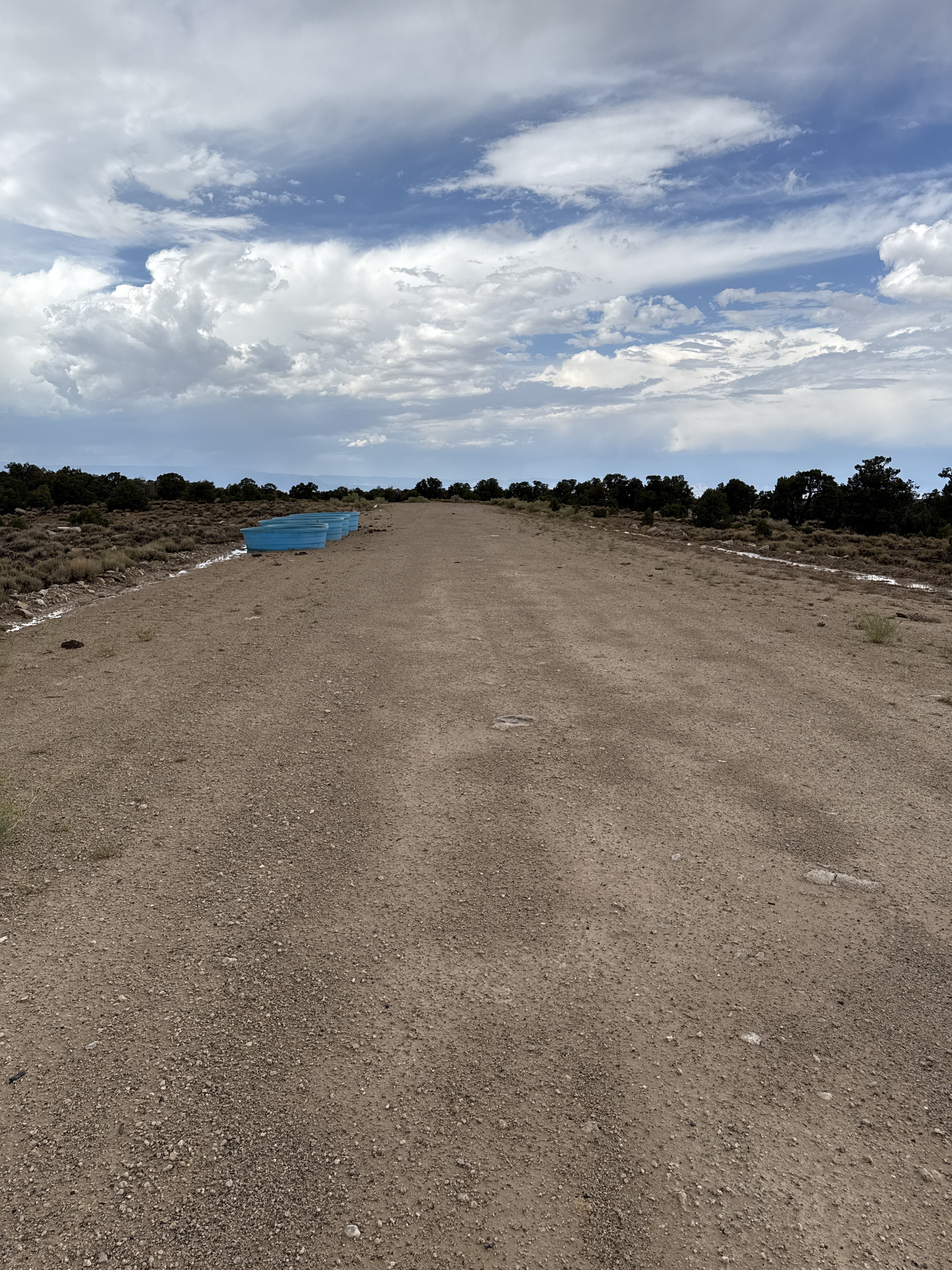
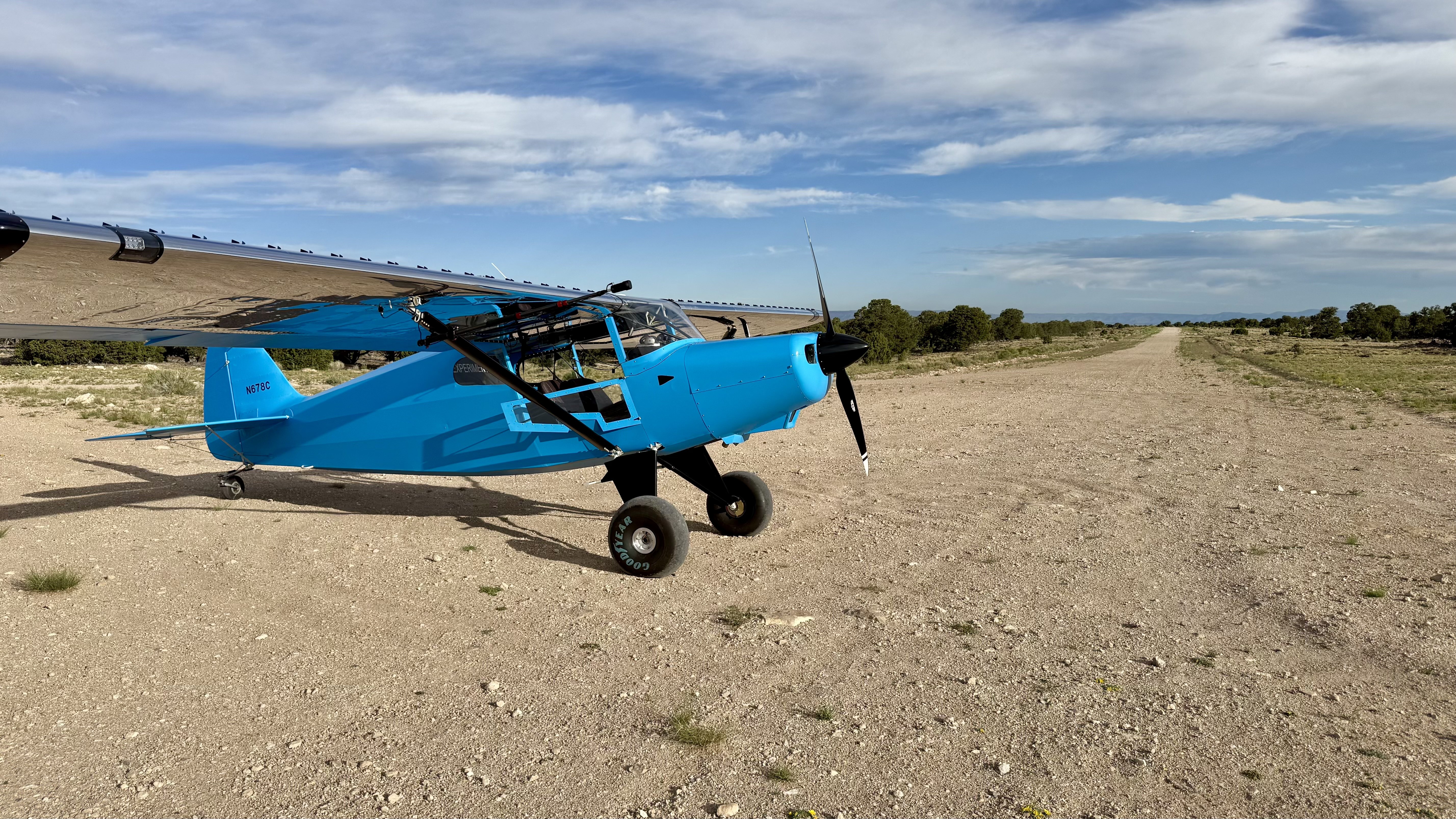
Runway: 2000 feet long x 40 feet wide, well maintained gravel and dirt.
Approach Considerations: Southern end of the runway ends with a nice 1,500 feet vertical drop. Runway slopes uphill to the south. Be cognizant of vehicular traffic that may be driving on the southern end of the airstrip (Cedar Mountain Road runs through the runway).
Amenities: None
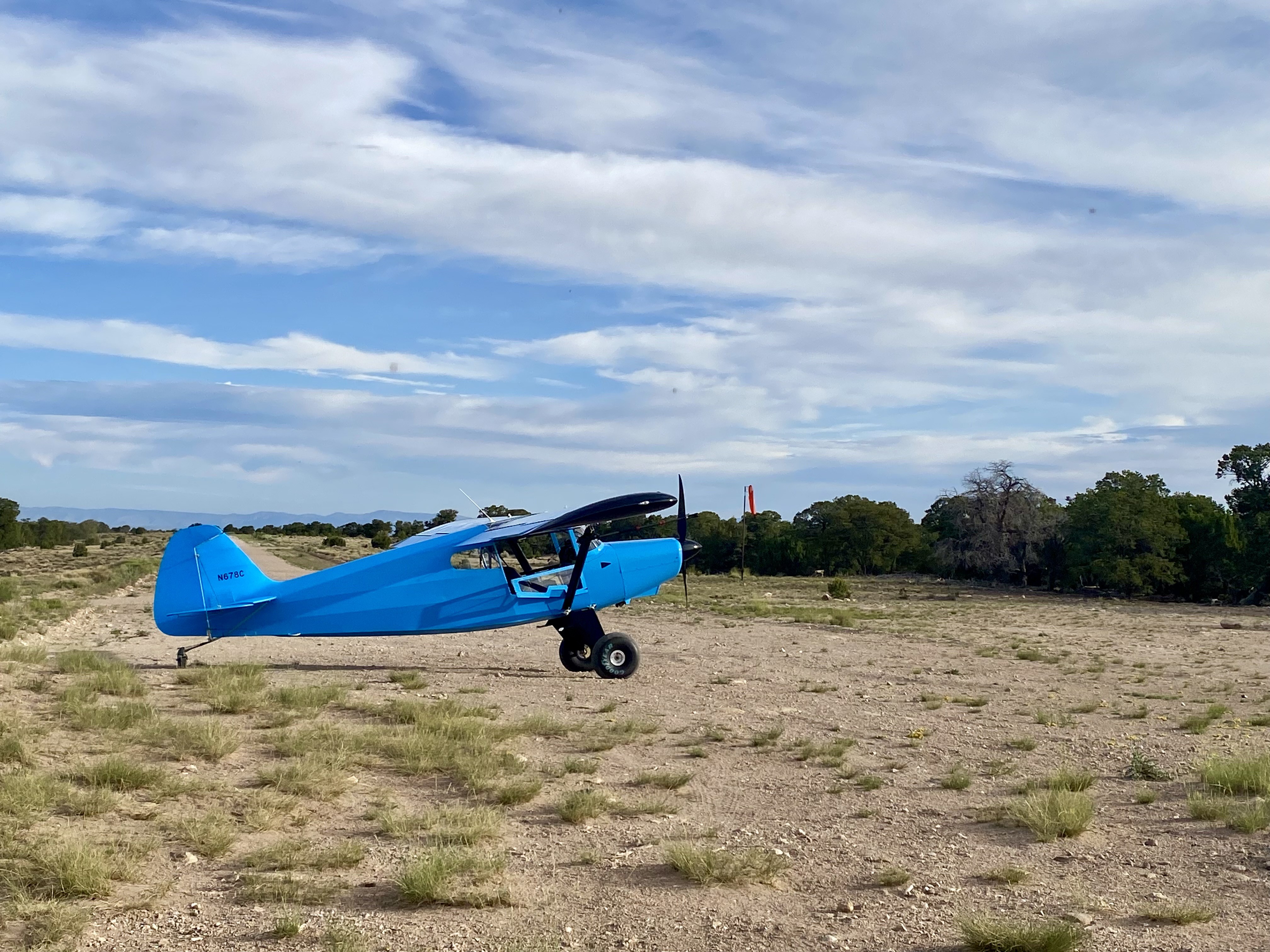
Windsock: Yes (new as of APR 2025)
Weather: YES! Access the latest weather at Cedar Mountain by visiting https://saywxair.com/airport/SKSJK5
Caution, there are some stock watering troughs approximately 300 feet from the approach end of Rwy 15. They are set on the side in the “rough” area, though from the air, they appear on the landing surface. They stand about 3 feet high. Also, there are several cows in the vicinity. Aside from that, strip is in great condition as always.
We haven't written a history for this airstrip yet. If you would like to provide us with some information about this strip, please contact us today!