Airstrip Info
| Frequency | Unknown |
|---|---|
| Elevation | Unknown |
| Lat/Long |
37.8242, -110.0901 37° 49.452' , -110° 5.406' |
| Runway |
|
| Ownership | BLM |
Weather
See more at the National Weather Center
Information updated July 9, 2025 @ 5:21pm
Dark Canyon South Airstrip is TEMPORARILY CLOSED. The airstrip is within the Bears Ears National Monument and the airstrip use is not allowed until the BLM has completed a NEPA review of the airstrip.
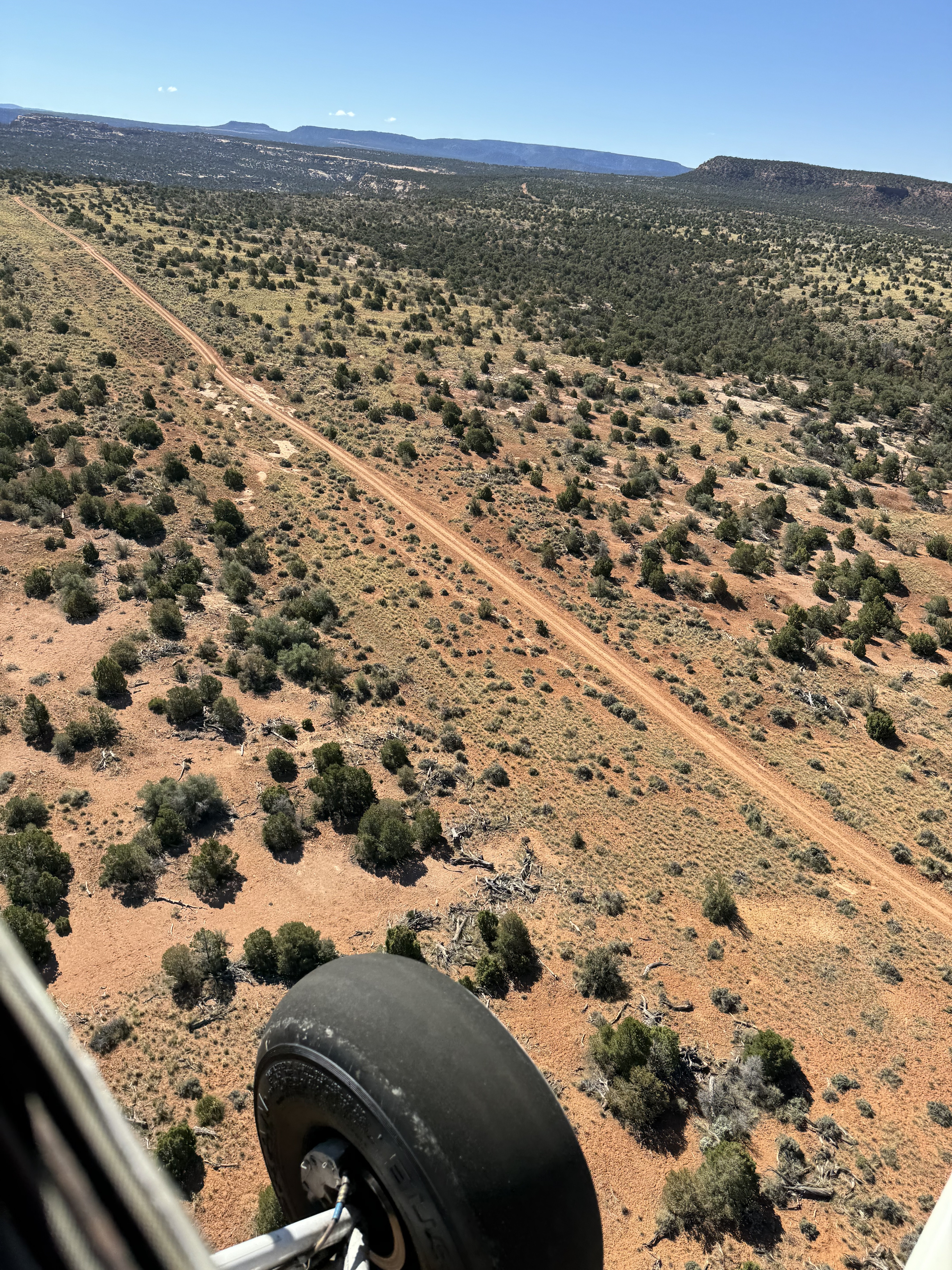
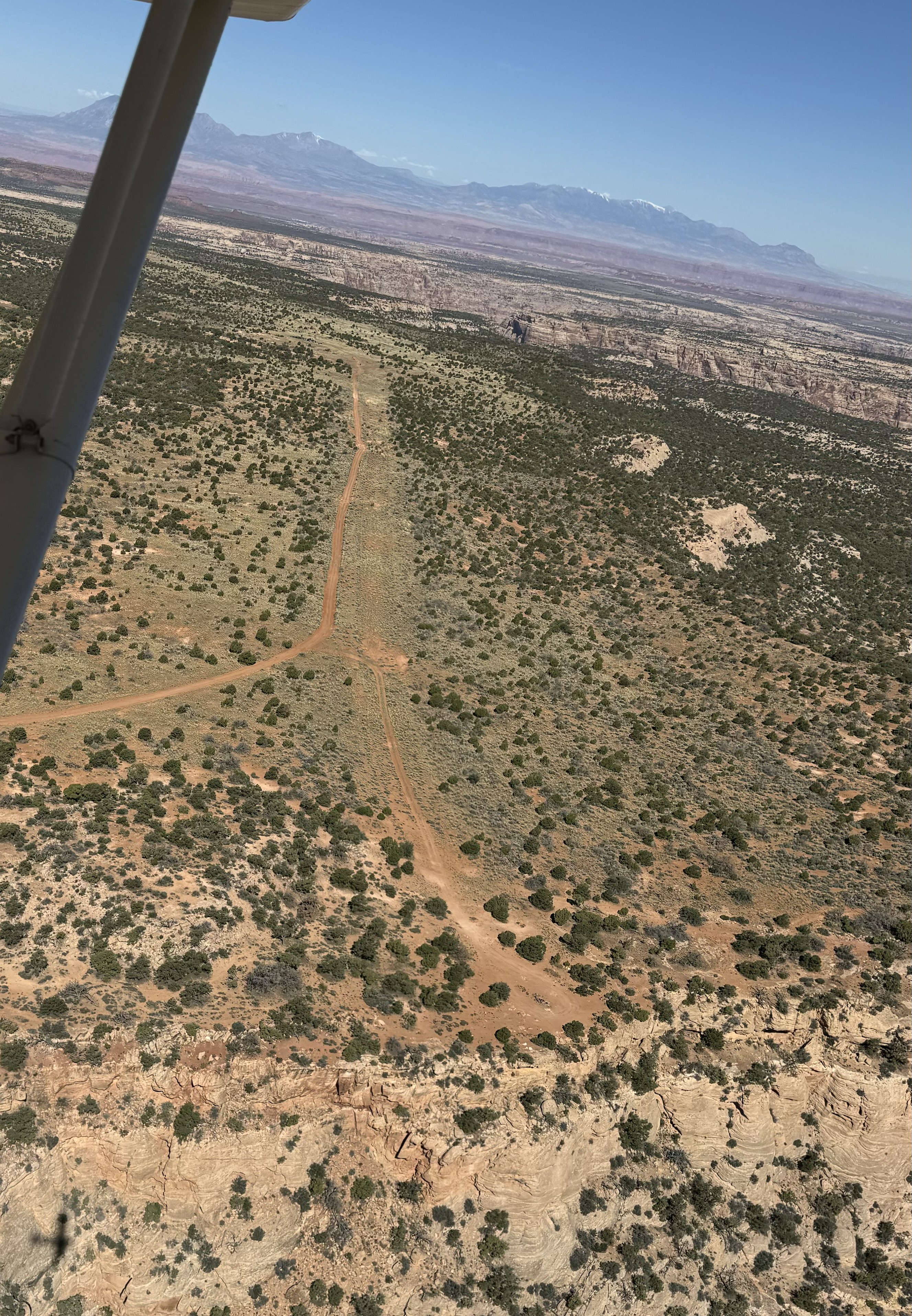
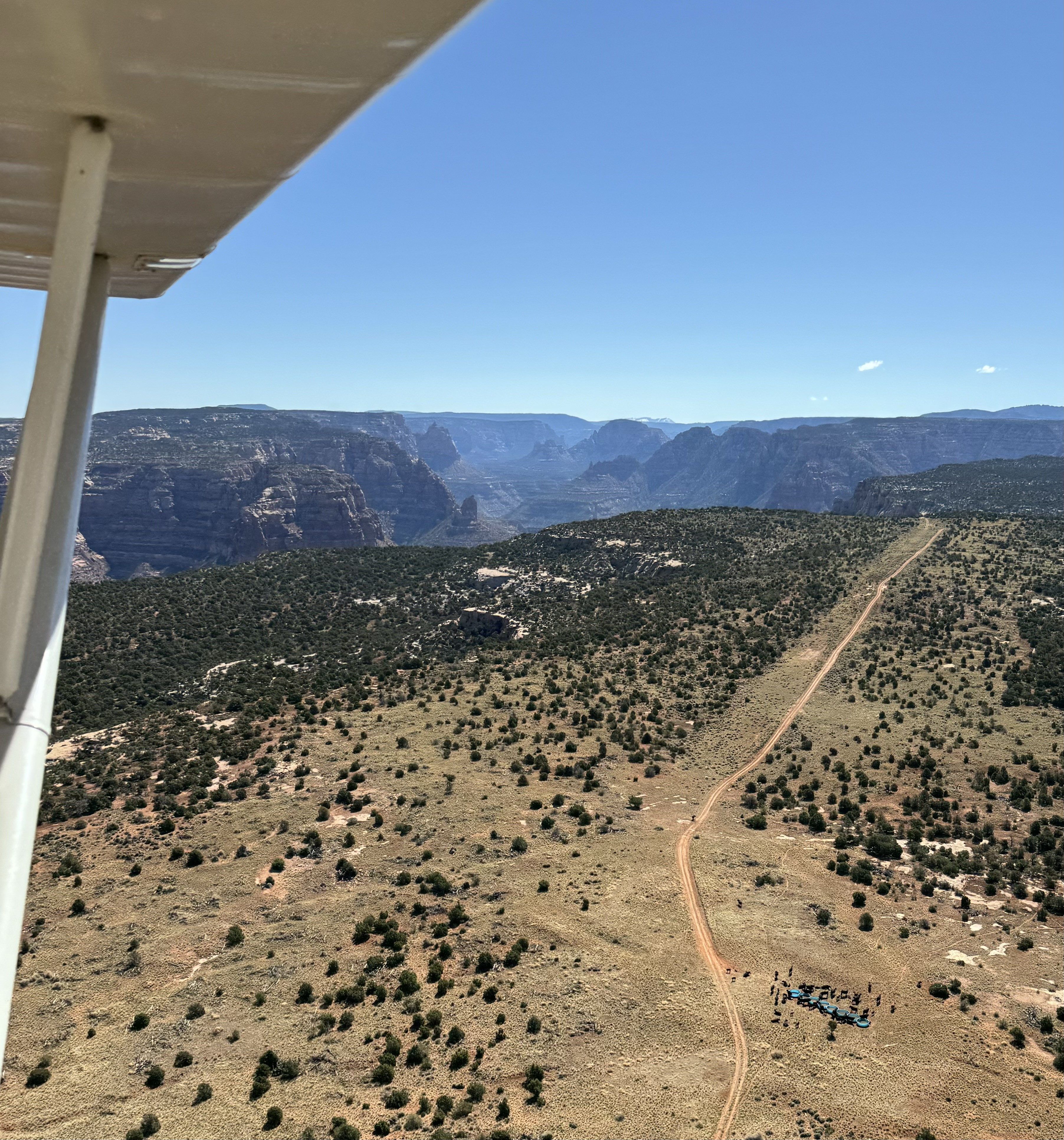
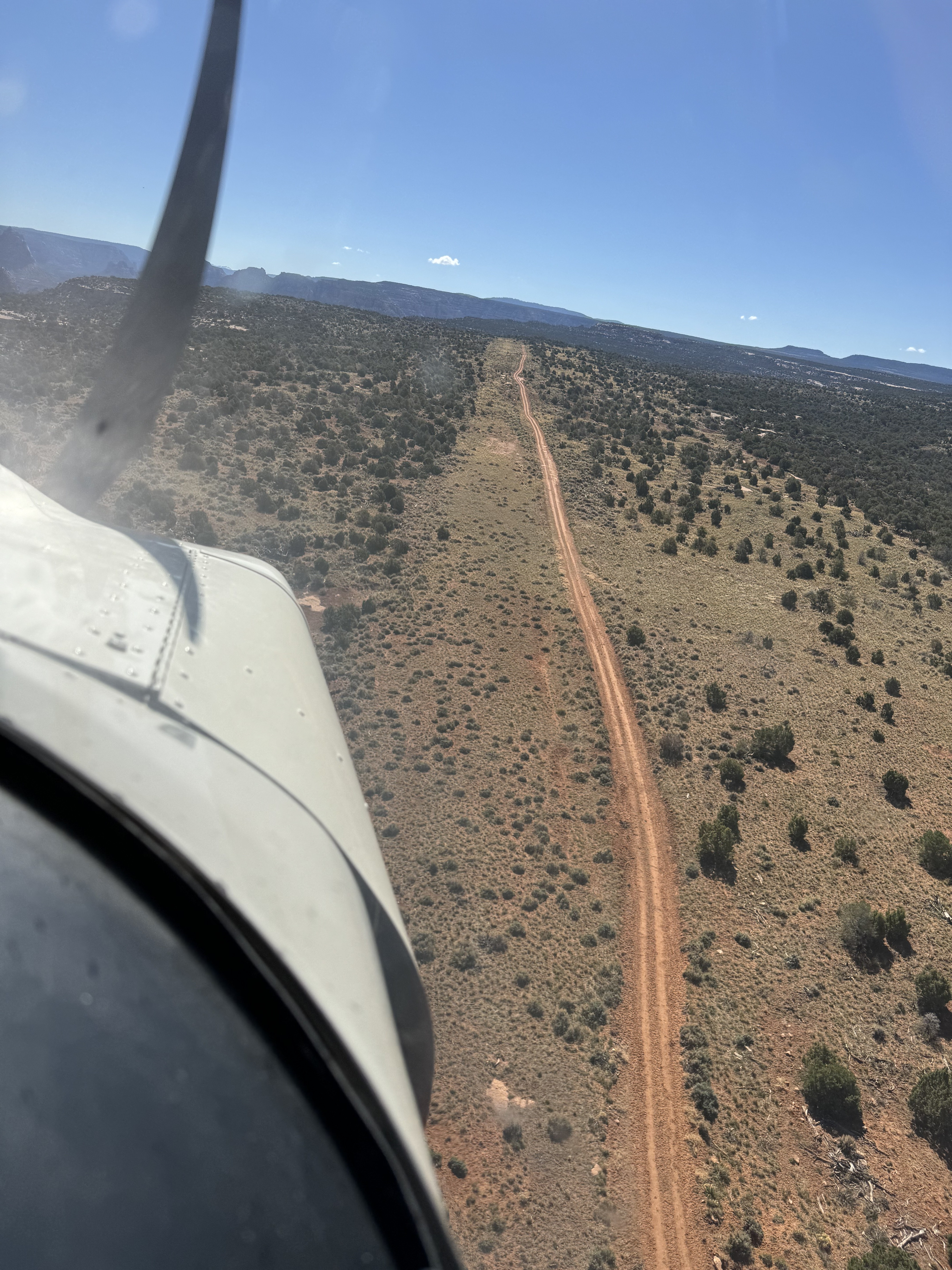
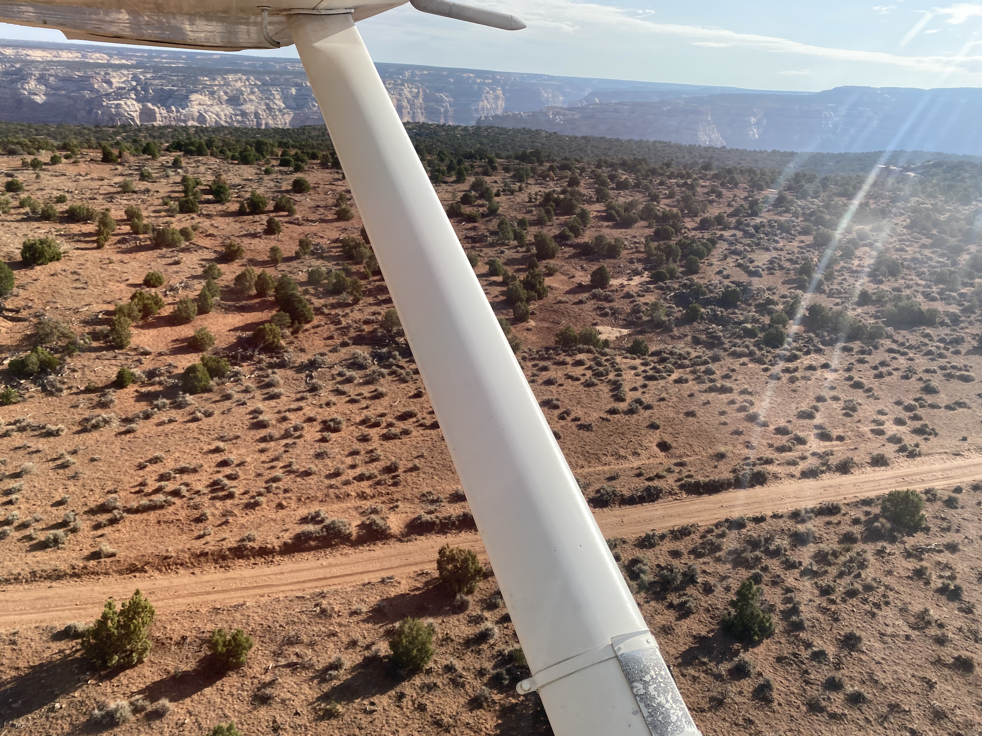
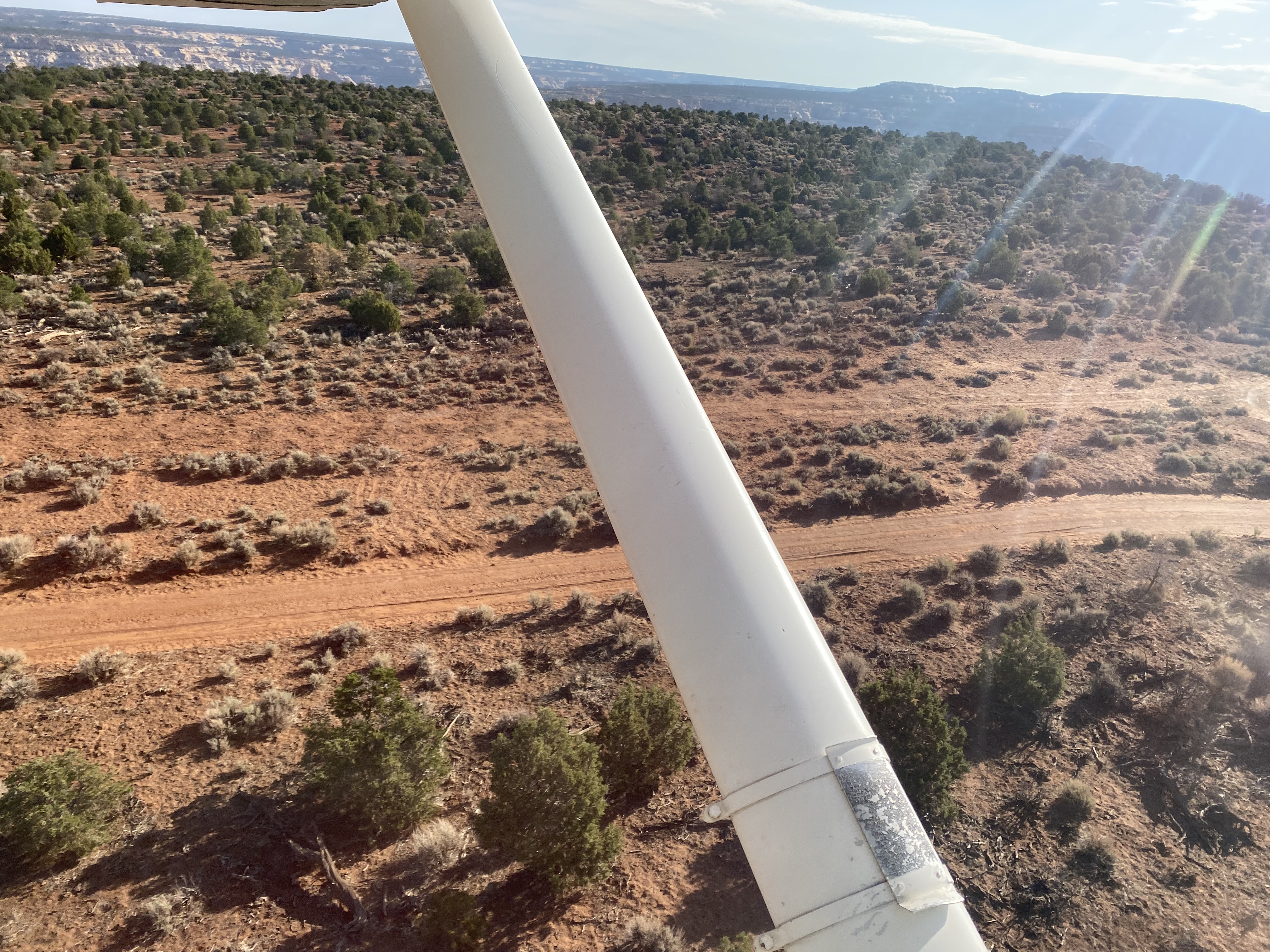
Airstrip has 2-track rutted road along the south length. The north length is full of sagebrush. No place to land at the moment. Cleanup will take more than a drag. Spectacular canyon overlook on the east end. This airstrip would be one of Uta’s jewels once it is refurbished. Notice the herd of cattle in the lower right on one of the photos.
Tried landing a couple spots today, but kept getting scared off my large sage brush and sprouting trees like the last report. I think the far eastern end going uphill could be landed by someone with more skills, but the grass is tall and could be obscuring obstacles. Needs work for sure, could be a fun strip.


there are 2 strips at or near Dark Canyon. The satellite image associated with this strip (on this site) shows the strip to the south along Woodenshoe RD at 37 49.420N 110 05.341W. The Dark Canyon Plateau strip is north of the canyon at 37 53.772N 110 05.573W and it was pretty rough when I landed there years ago. Which one is going to be fixed up?
Dark Canyon South's airstrip has been identified on USGS maps since 1980. You can view this historic map below or download it by clicking here.