Airstrip Info
| Frequency | 122.90 |
|---|---|
| Elevation | 6260 ft |
| Lat/Long |
38.0831, -110.6961 38° 4.9837' , -110° 41.7667' |
| Runway 9/27 |
1973 ft
x 30 ft
Dirt Rwy 27 Uphill 5.8% |
| Ownership | BLM |
Amenities
Weather
See more at the National Weather Center
Information updated May 13, 2021 @ 7:40pm
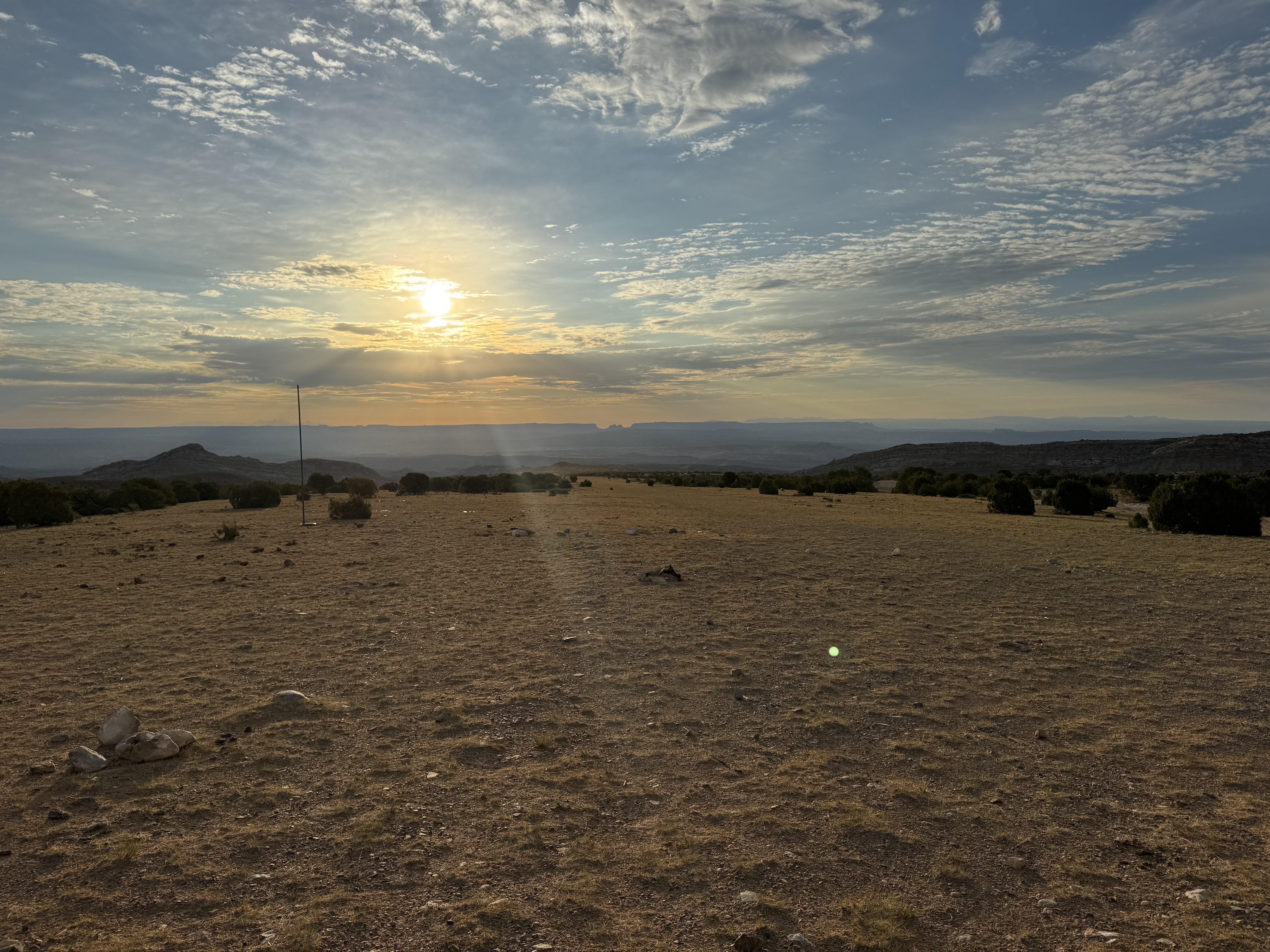
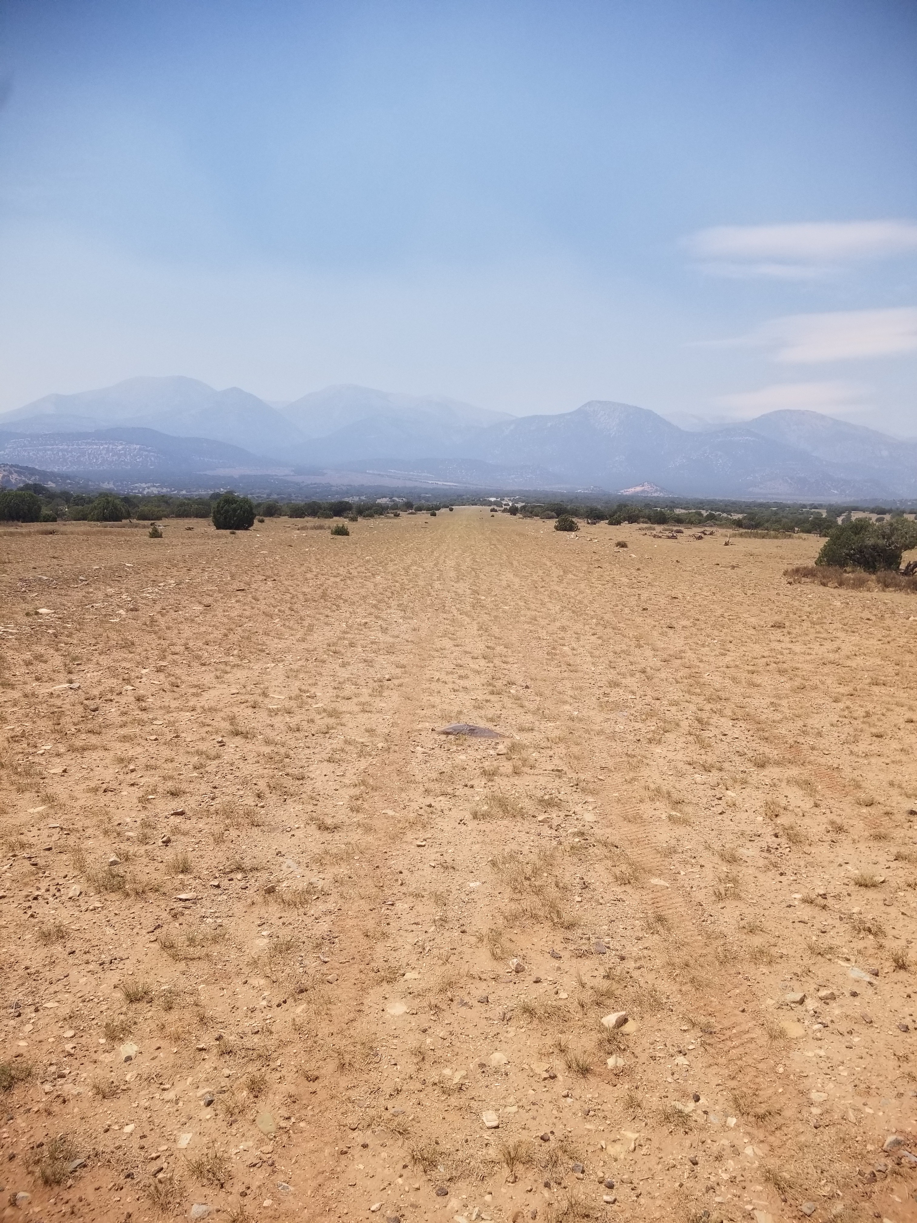
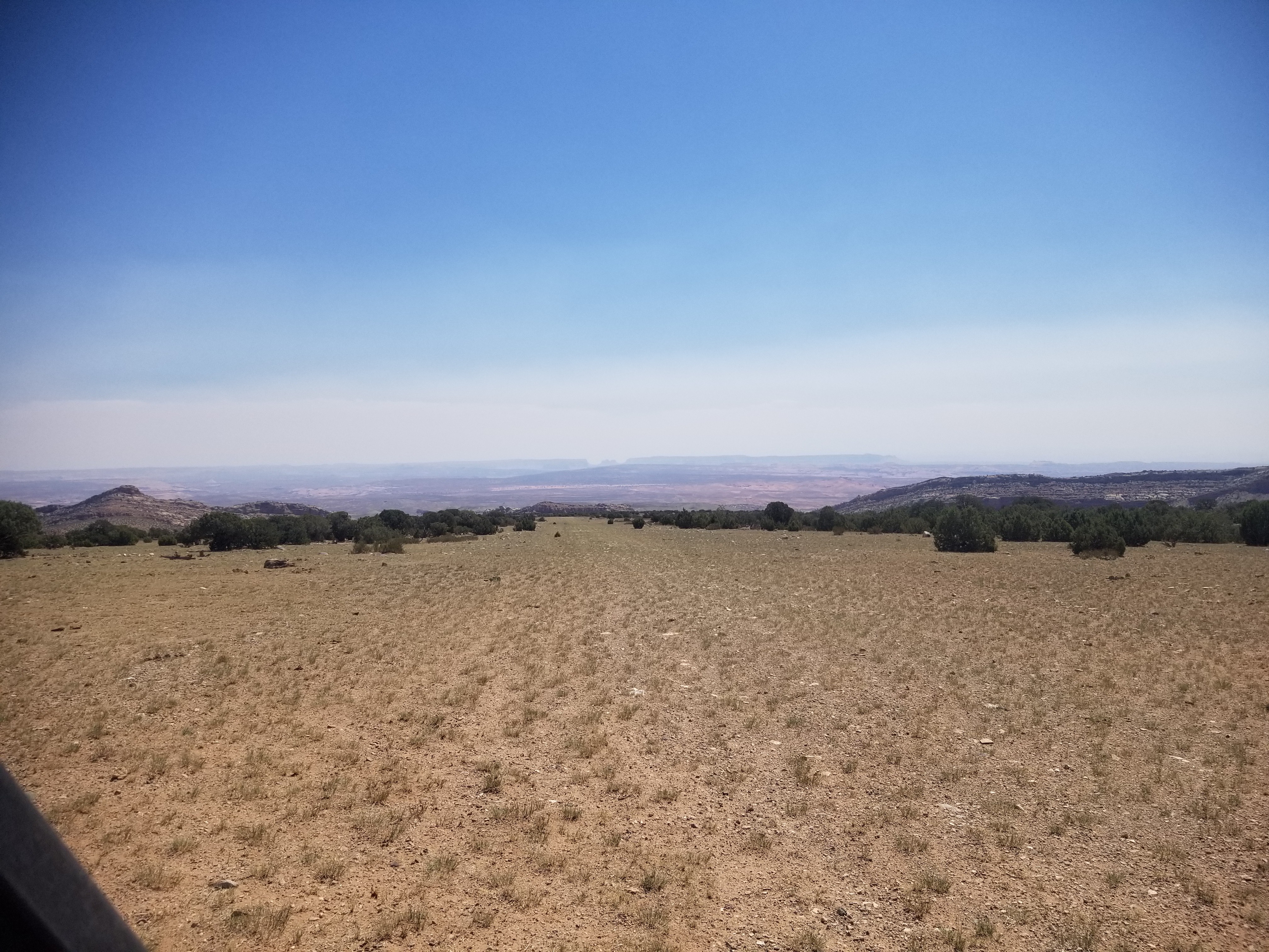
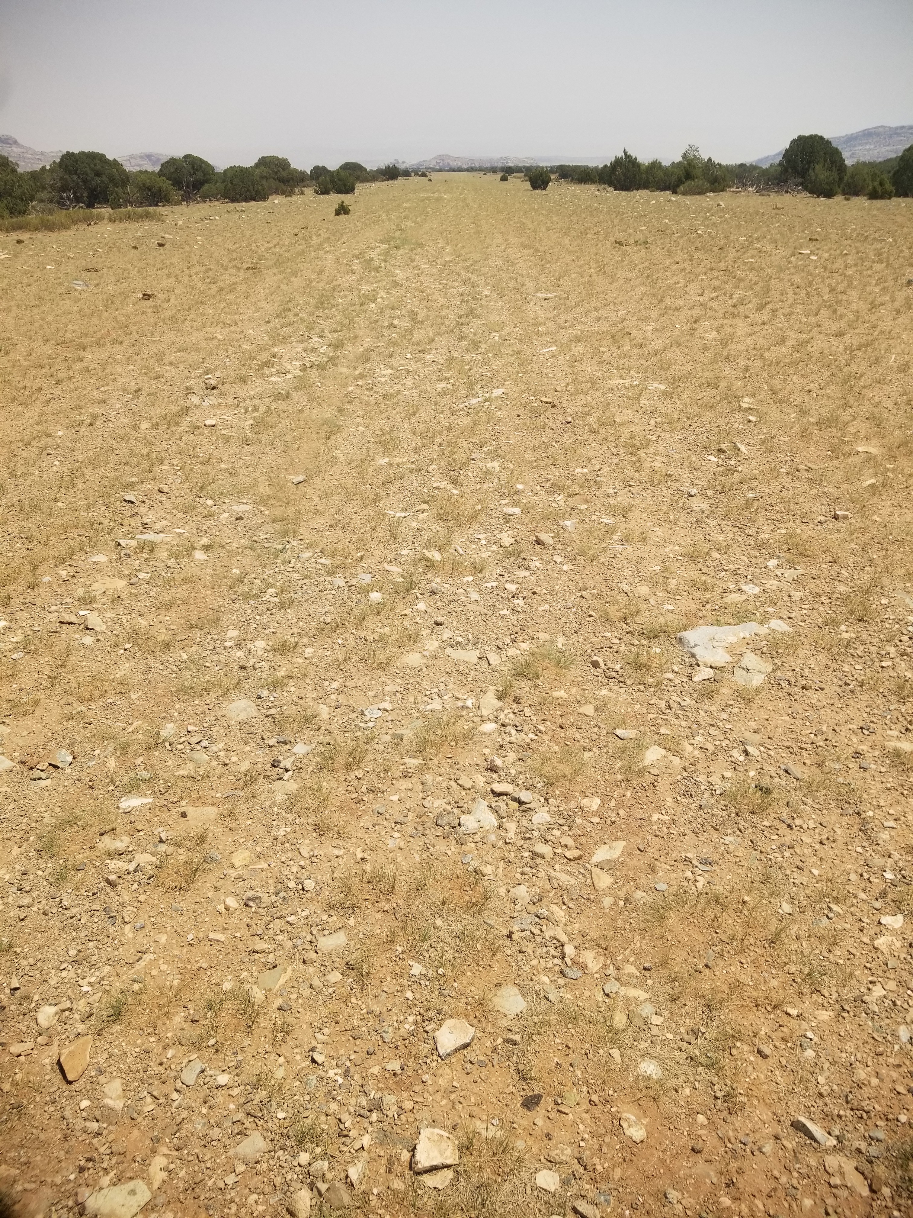
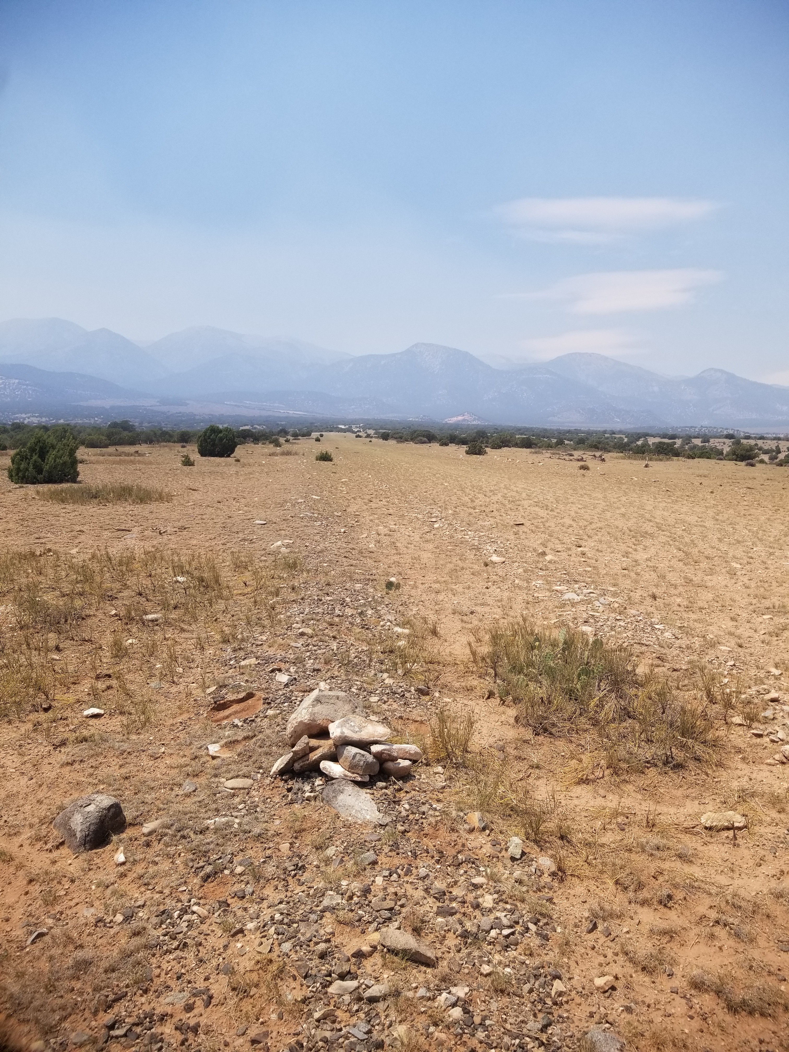
Description: Eagle City's runway is orientated east/west on the east face of the Henry Mountains. The east 500' is more rough and has a more rocky surface. Some errosion exists in the middle of the runway not quite halfway down from the east end. Larger rocks have been removed in recent years from users of the strip. Land west, depart east. Downdrafts on final can be common. Large rocks exist on the shoulders of the runway, so use caution when taxiing off of the runway surface.
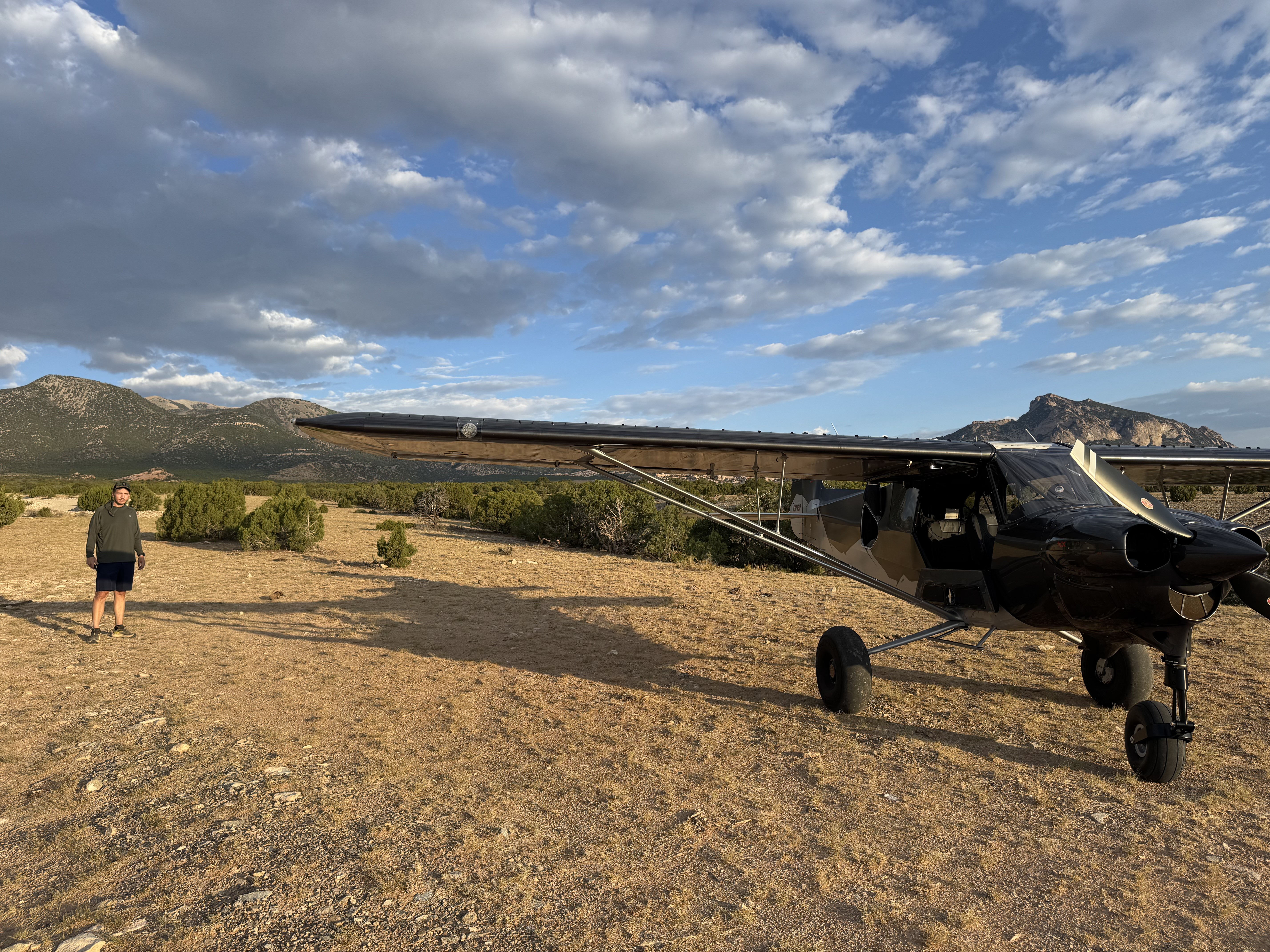
Runway: 1973' long x 30' wide dirt/clumpy grass strip in good condition. The strip has a 5.8% grade from the east to the west with a 115' gain in elevation over the length of the runway. Some errosion exists near midfield in the middle of the runway. The first 500' is a little more rocky and rougher. Large rocks and other hazards exist off the shoulders of the runway. Use caution when taxiing off of the runway.
Approach Considerations: Land west, depart east. Uneven terrain in the area can cause irregurlar winds and downdrafts. Use caution on final. Use caution for density altitude, especially in the event of a go around.
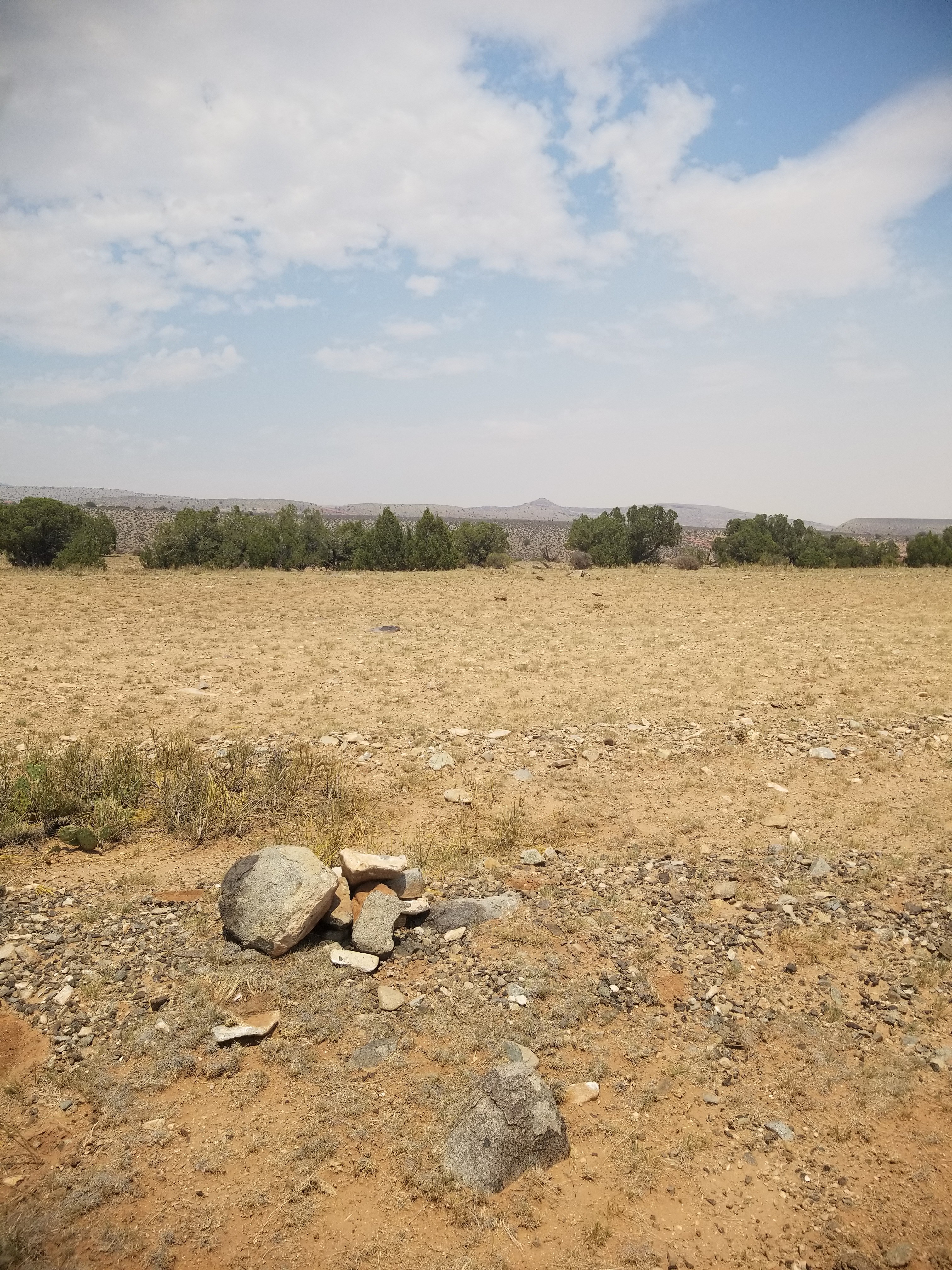
Amenities: Camping is available on the south side of the runway abeam the information sign. At least one rock fire ring was present.
Windsock: Yes. One located on the south side of the approach end of runway 9, the other on the northside of the approach end of runway 27.
Good condition. Hasn't deteriorated since last time I visited. As discussed, first 500' is rocky and last 500' is rocky. Could use some rock pick up, but the middle section is decent! Windsock pole is present but no windsock anymore. Great slot canyon nearby - hiked it today with 12 year old, perfect age for this particular spot.

Awesome visit to do the slot canyon hike. Directions are spot on. Head up the road west to the spring and hike down, need rope and gear to complete the 40’ rappel. Great 2.5 hour adventure. Airstrip conditions were quite good. Windsock is missing but big pole is still present, Great candidate to fix up.
Drove by on my CanAm. Inspected the whole airstrip. It's in great condition except for some loose rocks. Walked the whole runway clearing the biggest handsize rocks. The runway has very short grass vegetation. I do not believe after rain mud is an issue. I left 2 rockpile markers on each side of the west runway(landing uphill) to land beyond. The first few hundred feet are rocky. Protect your prop by landing longer. The last portion of the runway west end is also rocky. There is plenty of parking anywhere. Watch for rebar edge markers. I found one and removed it. Old surface mine is to the south in a slot canyon on Crescent Creek that is not accessible. Great access to the Henry's if you bring a bike. Water is scarce at this time. Saw bear, cats, bucks. Road is well maintained.
there are couple of ways to scramble down to the slot canyon and there is usually water in it.
11 months agoStrip is in good condition but is rougher than it looks. Some ruts and rocks hidden by the grasses. Cow poo on the runway, some possible grazing cattle but did not see any. The windsock frame is missing, and appears as if the pole was broken off...as no upper pole or frame is lying on the ground. Could possibly repair by taking in the hinged part of the windsock pole to replace.


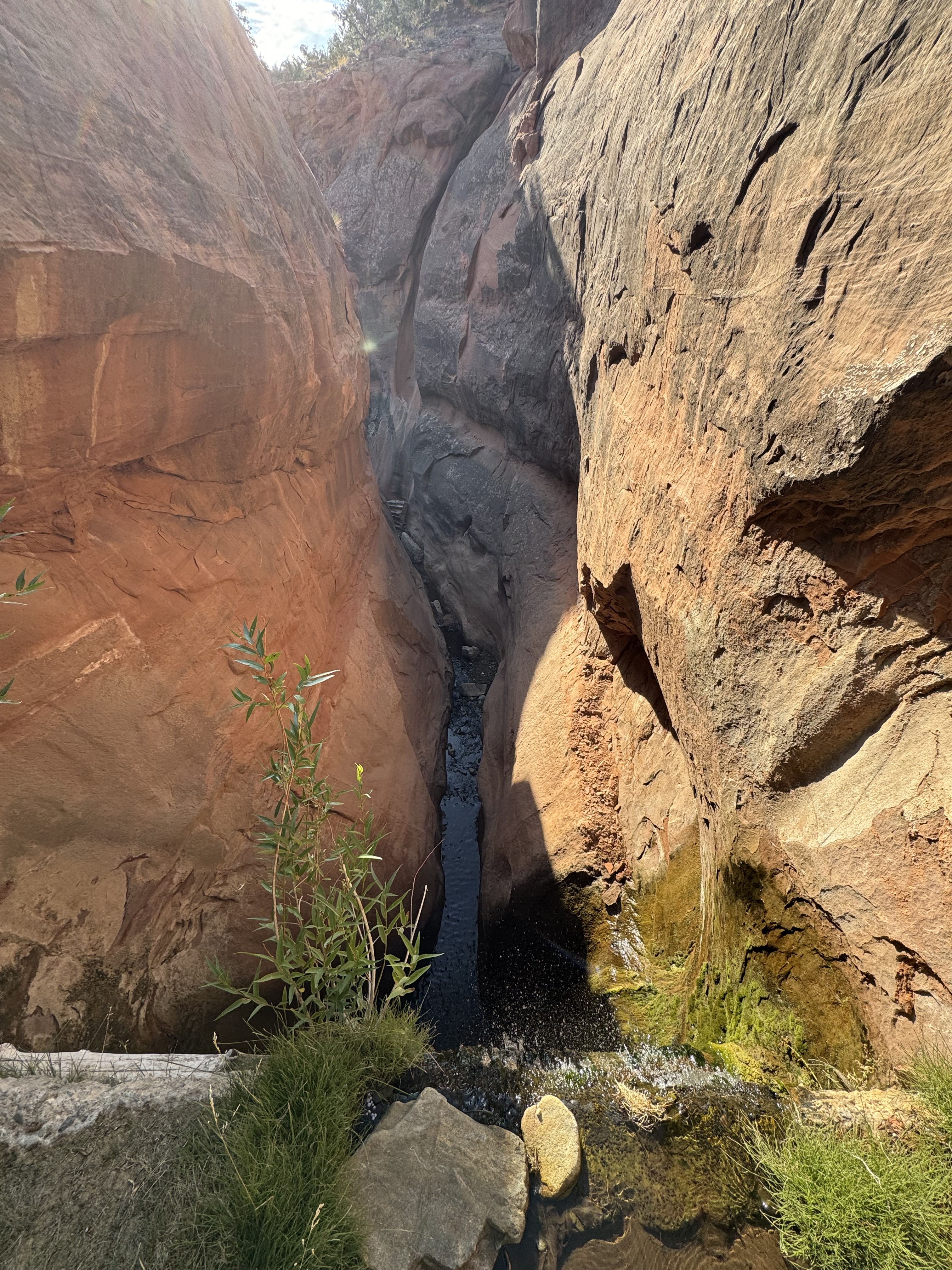
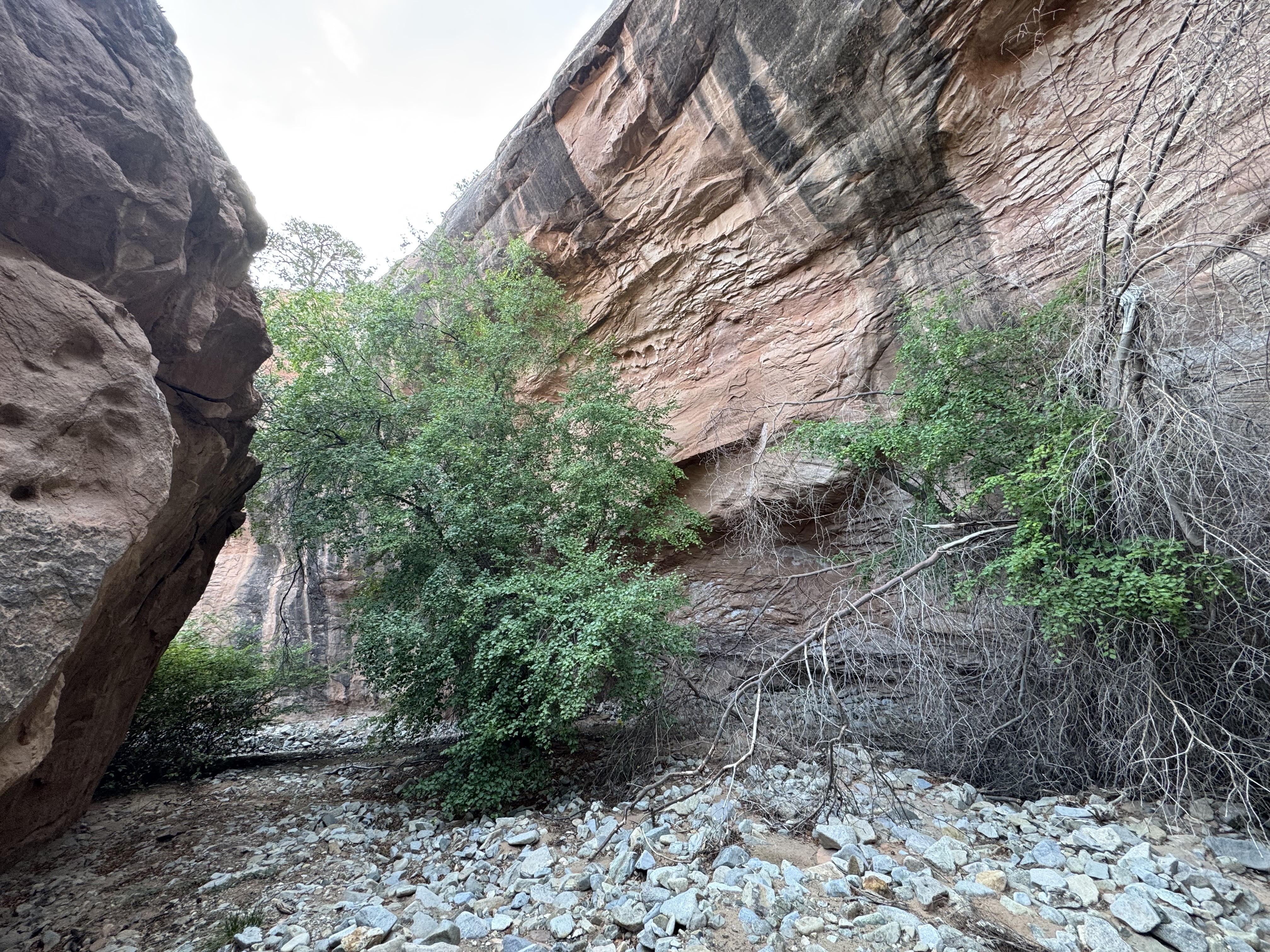
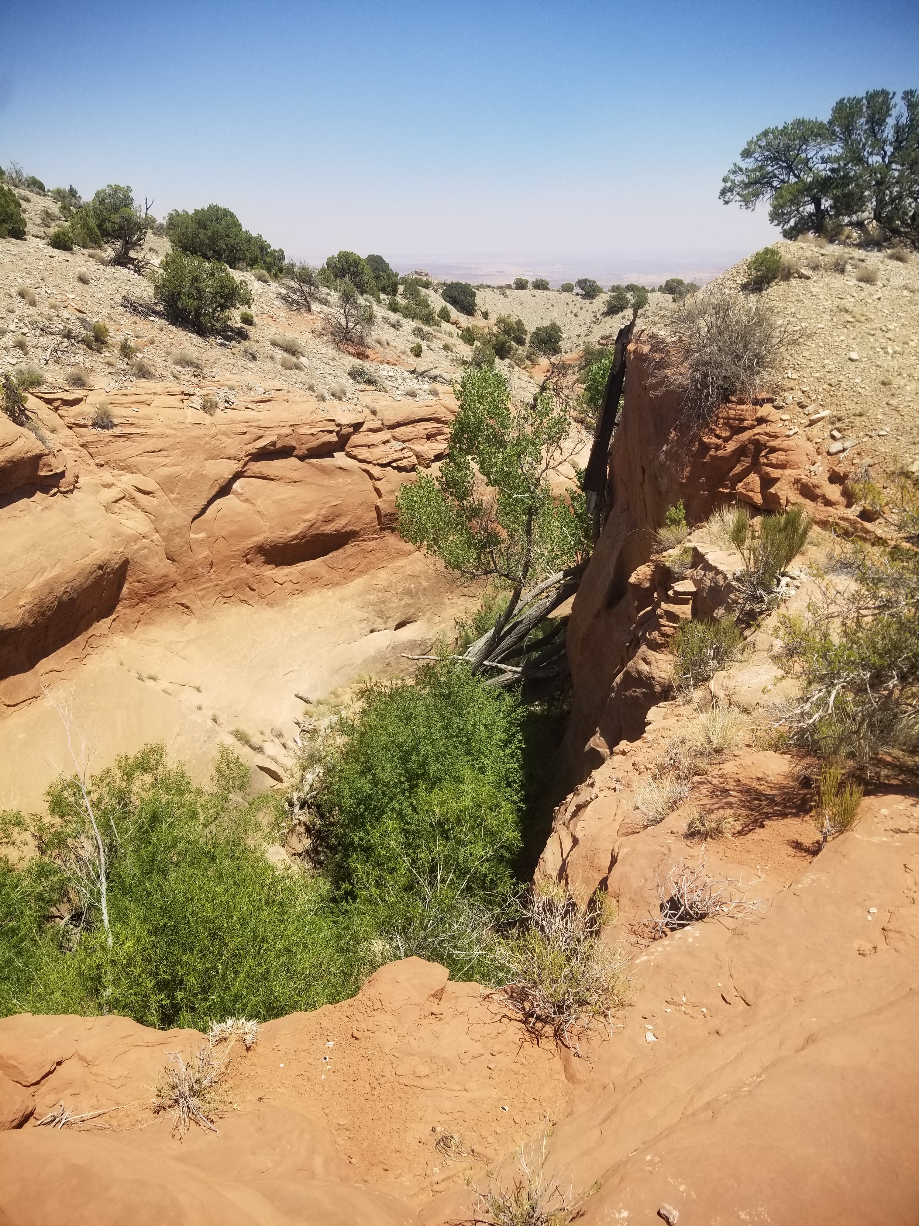
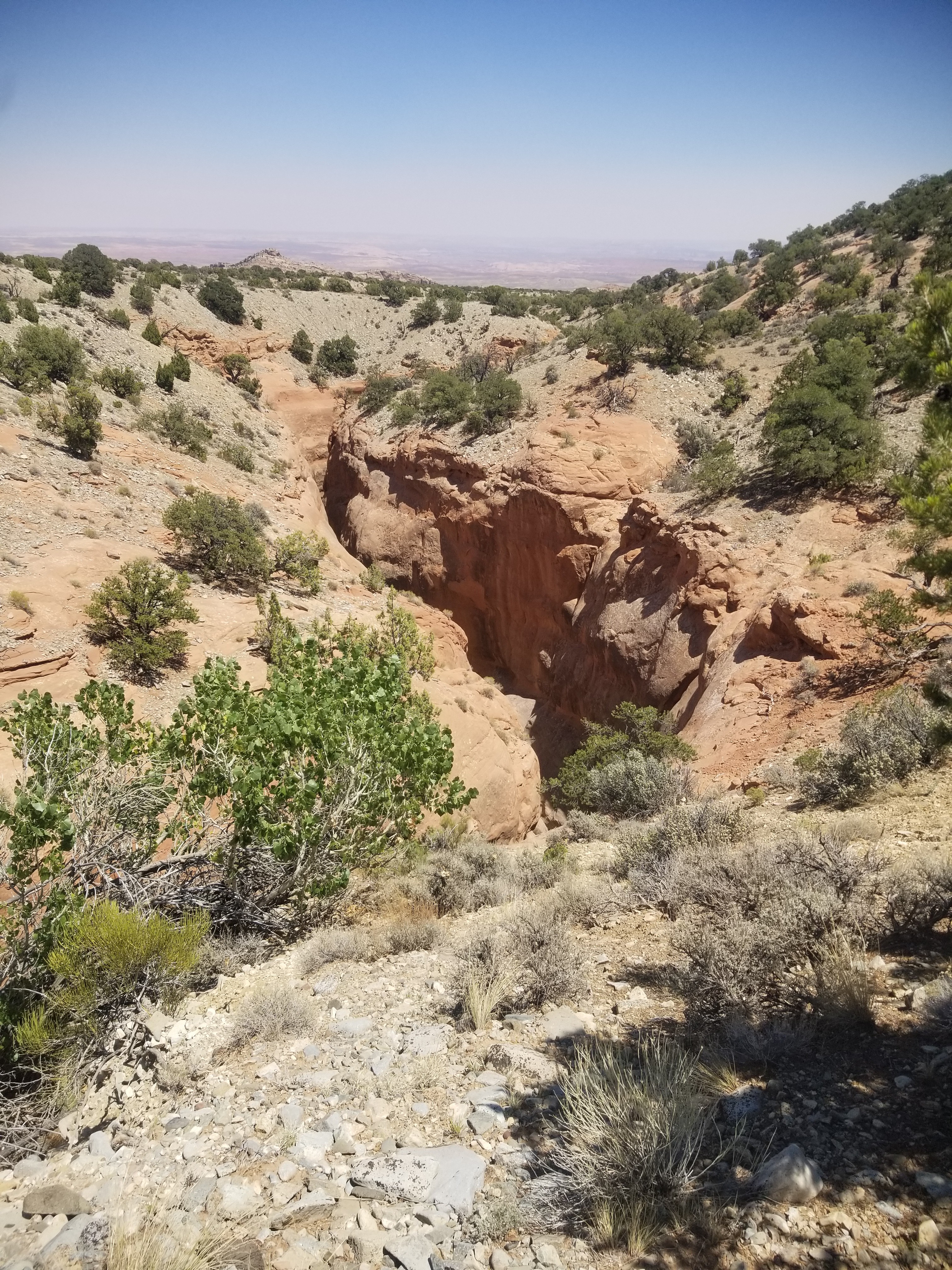
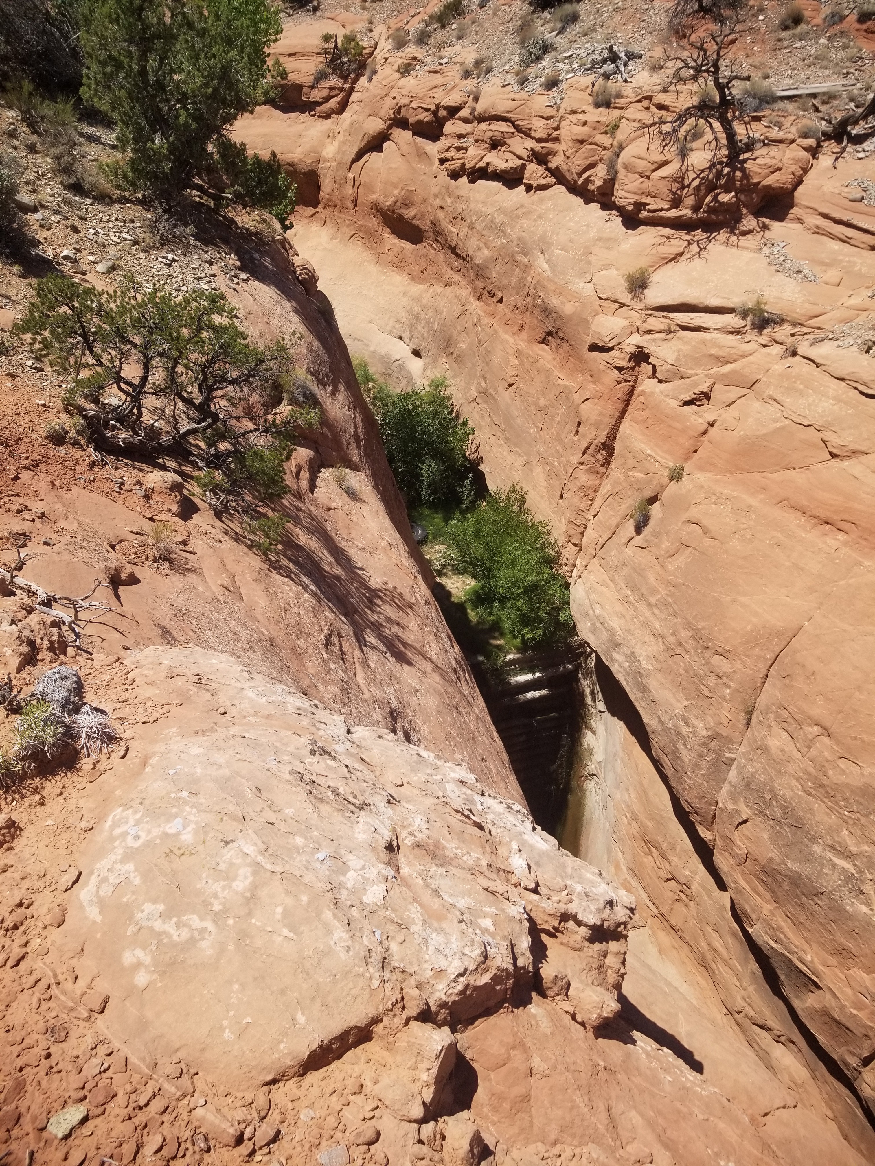
The Crescent Creek Slot Canyon runs parallel to the airstrip on the south side. A short hike up the dirt road takes you to the beginning of the ravine that becomes the slot canyon. Directly abeam the west end of the runway, there are places where access to the canyon is possible if you don't want to hike to the beginning of the ravine to the west. Approximately 2/3s of the way down the slot, there is an approximately 60' drop that requires repelling. There are anchor points for climbing ropes. Otherwise it is not passable. A short hike down the road will give you access to the east end of the slot and you can make your way up the canyon to the drop off. It's a great little slot easily accessible from the strip.
We haven't written a history for this airstrip yet. If you would like to provide us with some information about this strip, please contact us today!