Airstrip Info
| Frequency | 122.90 |
|---|---|
| Elevation | 6300 ft |
| Lat/Long |
38.5933, -108.9145 38° 35.5977' , -108° 54.8718' |
| Runway 12/30 |
1061 ft
x 50 ft
dirt |
| Ownership | BLM |
Weather
See more at the National Weather Center
Information updated August 15, 2025 @ 11:43am
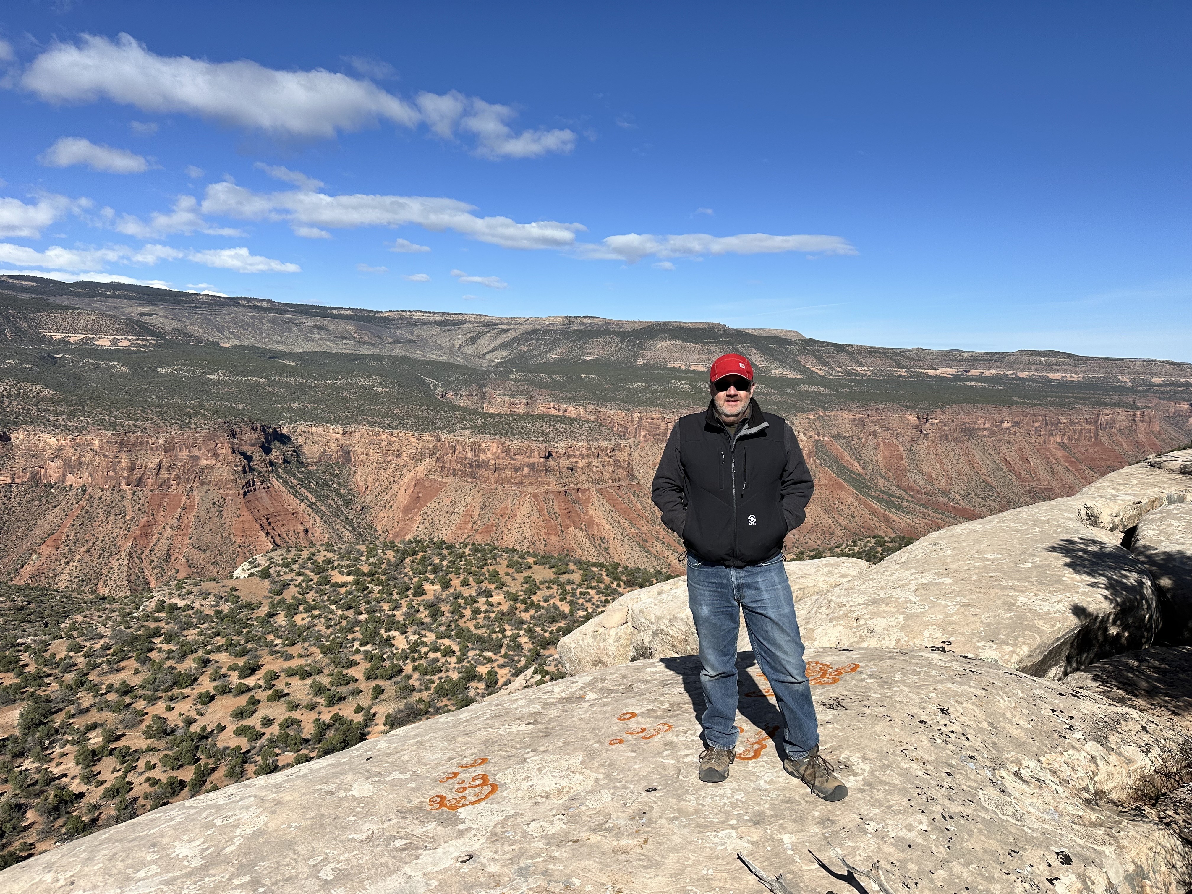
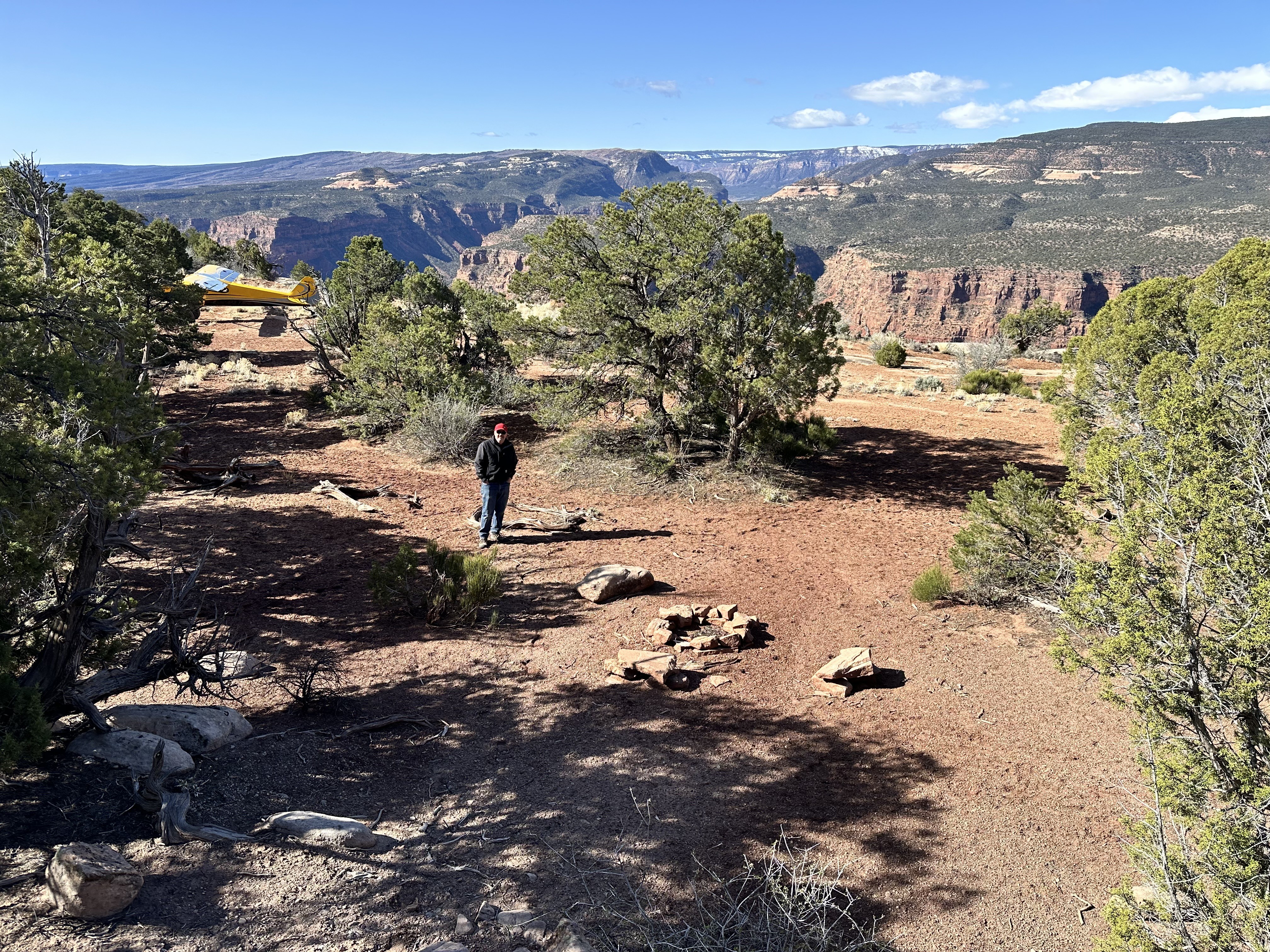
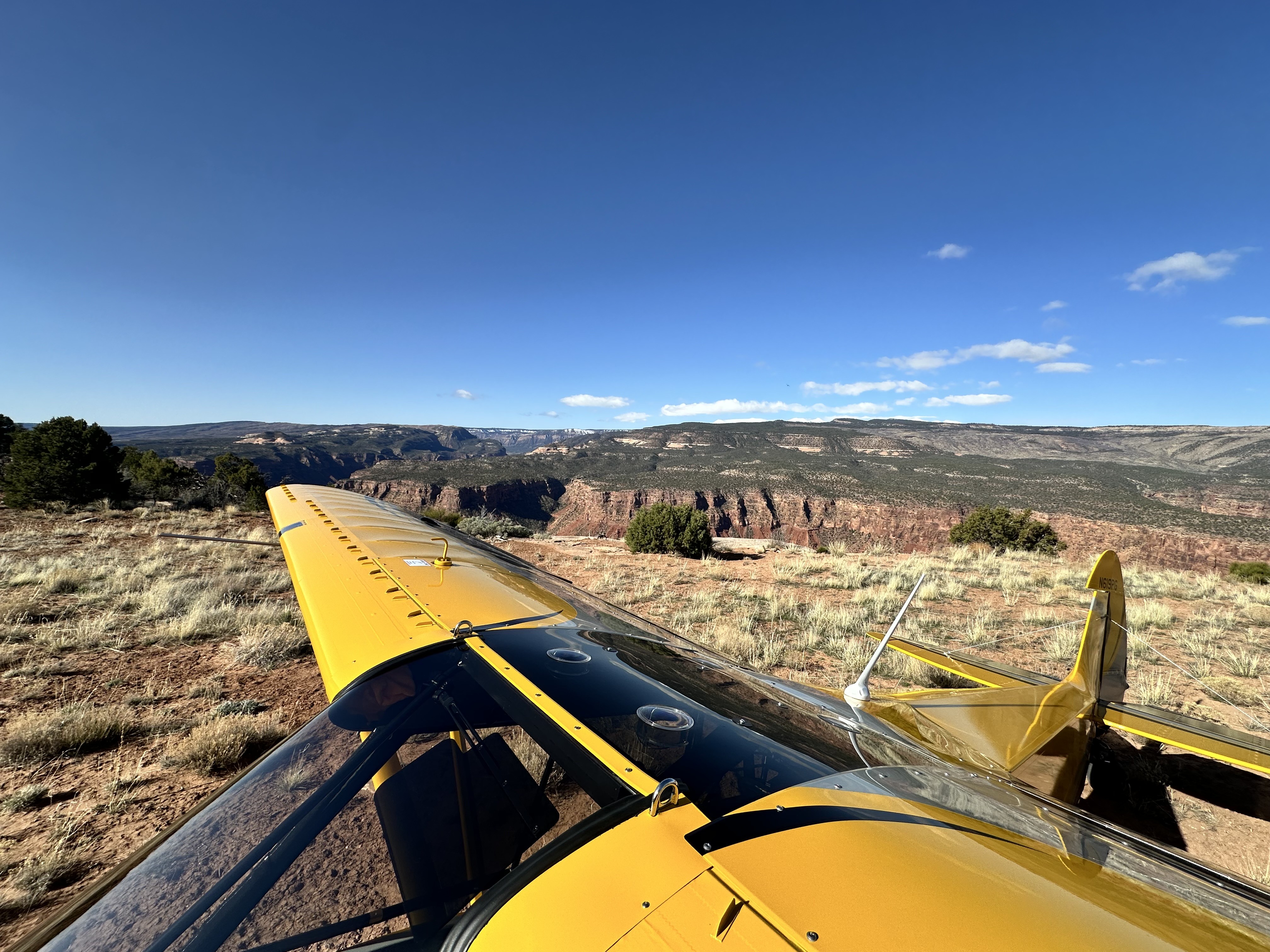
Rustic strip, probably 800' long. Best landing is towards the west, as the strip goes uphill to the west. Narrow strip with cedars on both sides. Small parking area at the western edge of the strip on the edge of the cliff, but it was big enough for our 3 planes. Nice campsite with a fire ring tucked in the trees at the on the north end of the runway, just above the cliff. Old uranium mining paraphernalia and some old mine shafts within 200 yards of the strip which were cool to explore. Beautiful view down into Gateway Canyon.
Threshold from the east marked with logs on both sides: touching down prior is very rough. Off-camber landing area, rolling, and some small foliage. A fun and challenging strip. I would venture to say for most one-way T/O to the east(downhill)
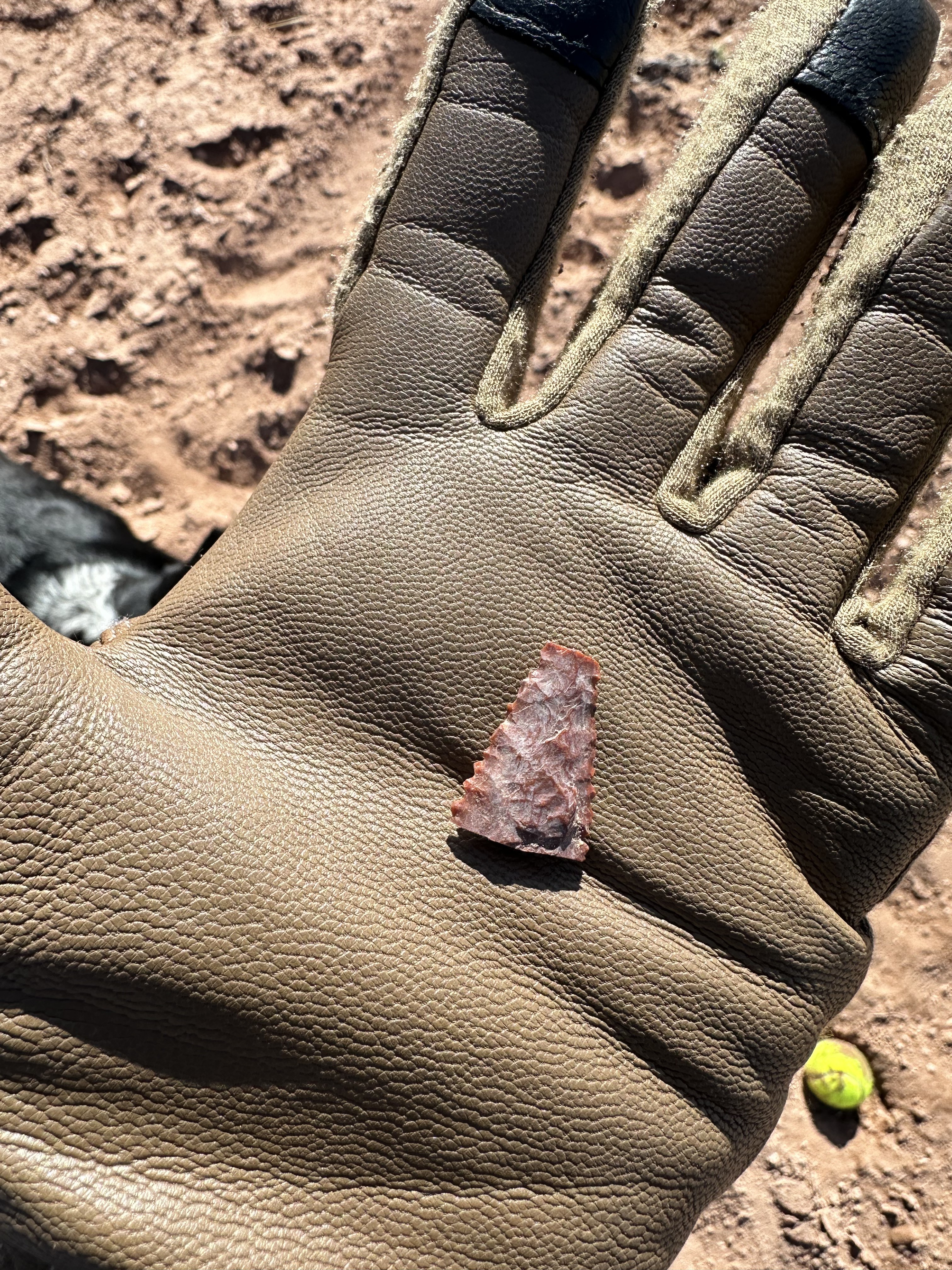
2 years agoFlat Top Mesa was a mining strip used for Uranium dating back to the 50's. Exploring around the plateau will uncover many mining ruins and artifacts. Be careful and mindful that this was Uranium mining and to reconsider digging through or picking up any mining ruins.