Airstrip Info
| Frequency | 122.90 |
|---|---|
| Elevation | 4748 ft |
| Lat/Long |
38.9834, -113.3666 38° 59.004' , -113° 21.996' |
| Runway All |
10000 ft
x 3000 ft
Hardpan |
| Ownership | BLM |
| BLM District | West Desert |
Weather
See more at the National Weather Center
Information updated January 16, 2025 @ 10:17am
Description: The Tule Valley Hardpan (aka Ibex) is a large dry lake bed just west of Sevier Dry Lake. Ibex is one of the three back country airstrips included in the State's "FLY UTAH Passport Program". To learn more, head to their website.
The Ibex Hardpan Briefing guide is available here.
Runway: Generally pilots land north/south on the area south of the island that rises about 200 feet above the hardpan.
Approach Considerations: Rapidly rising terrain west of the landing surface.
Amenities: None
Windsock: Yes, located atop the island.
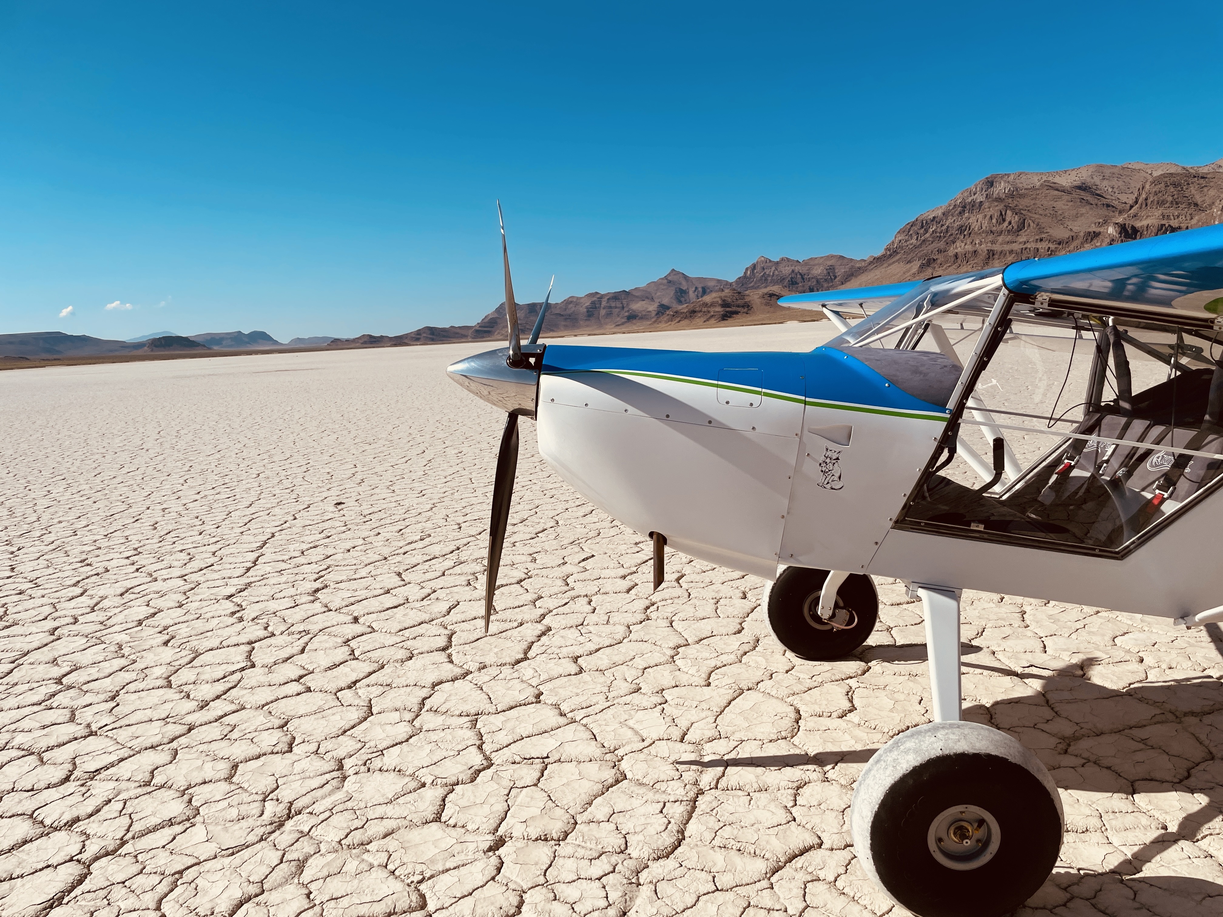
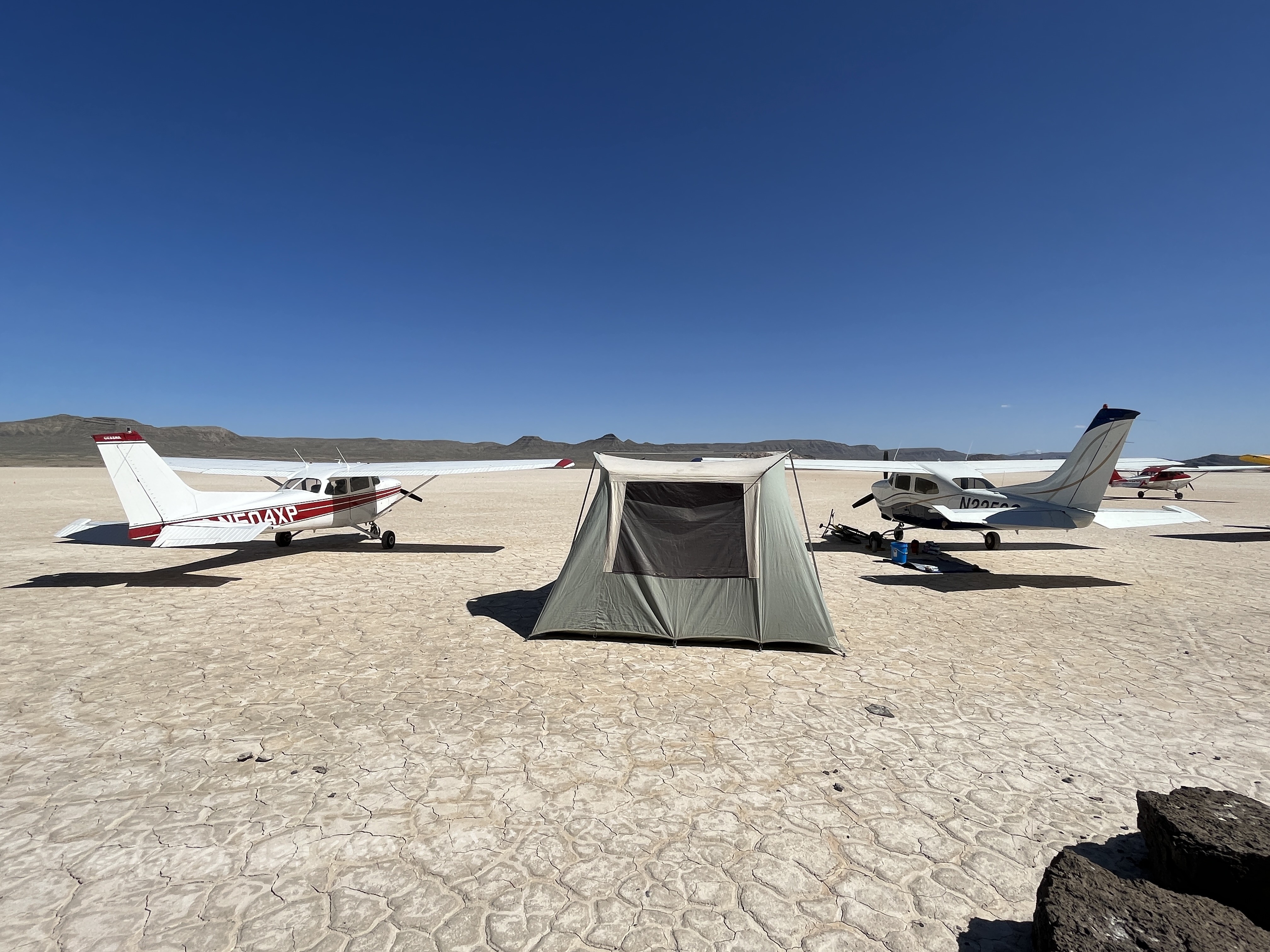
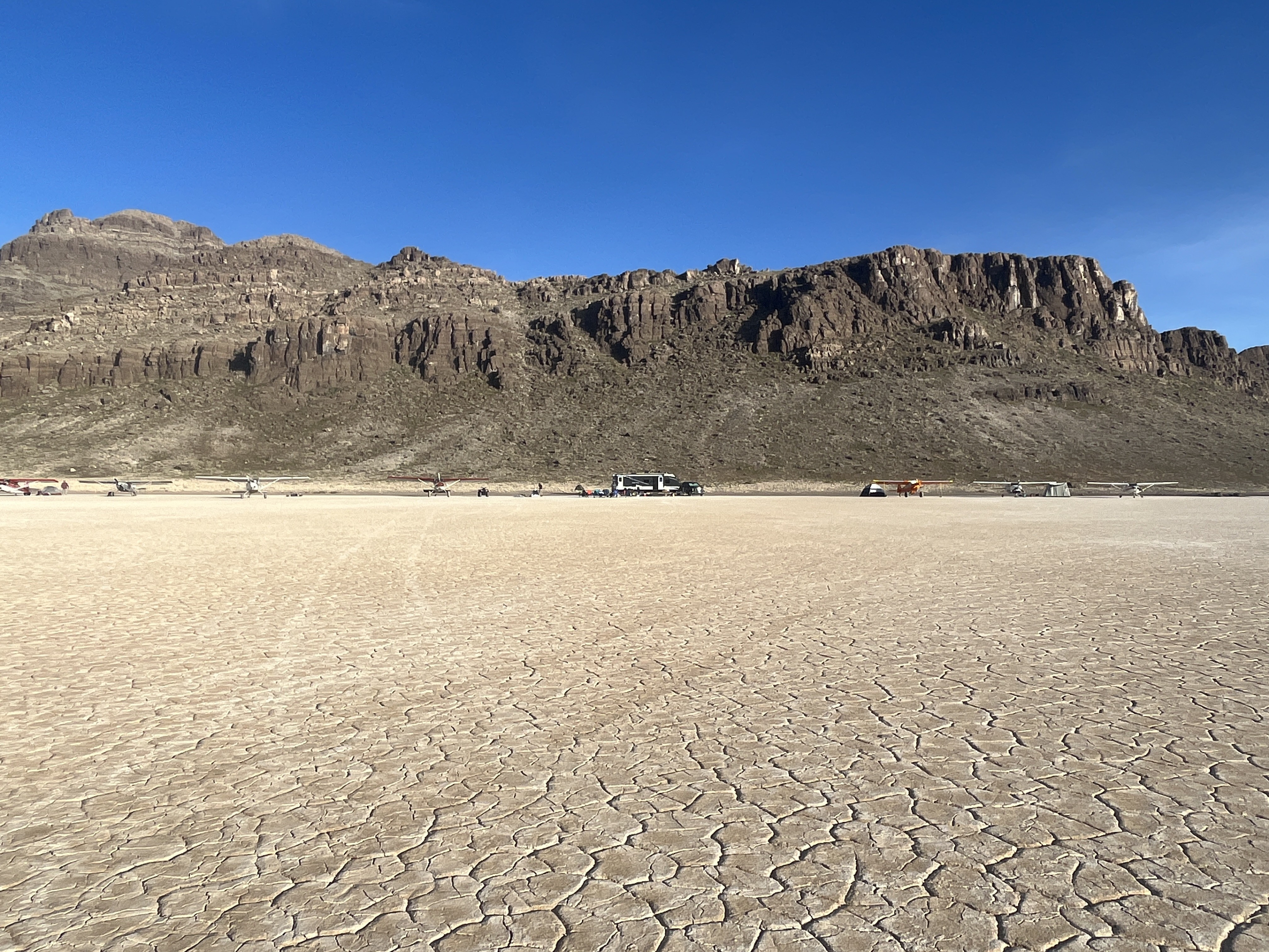
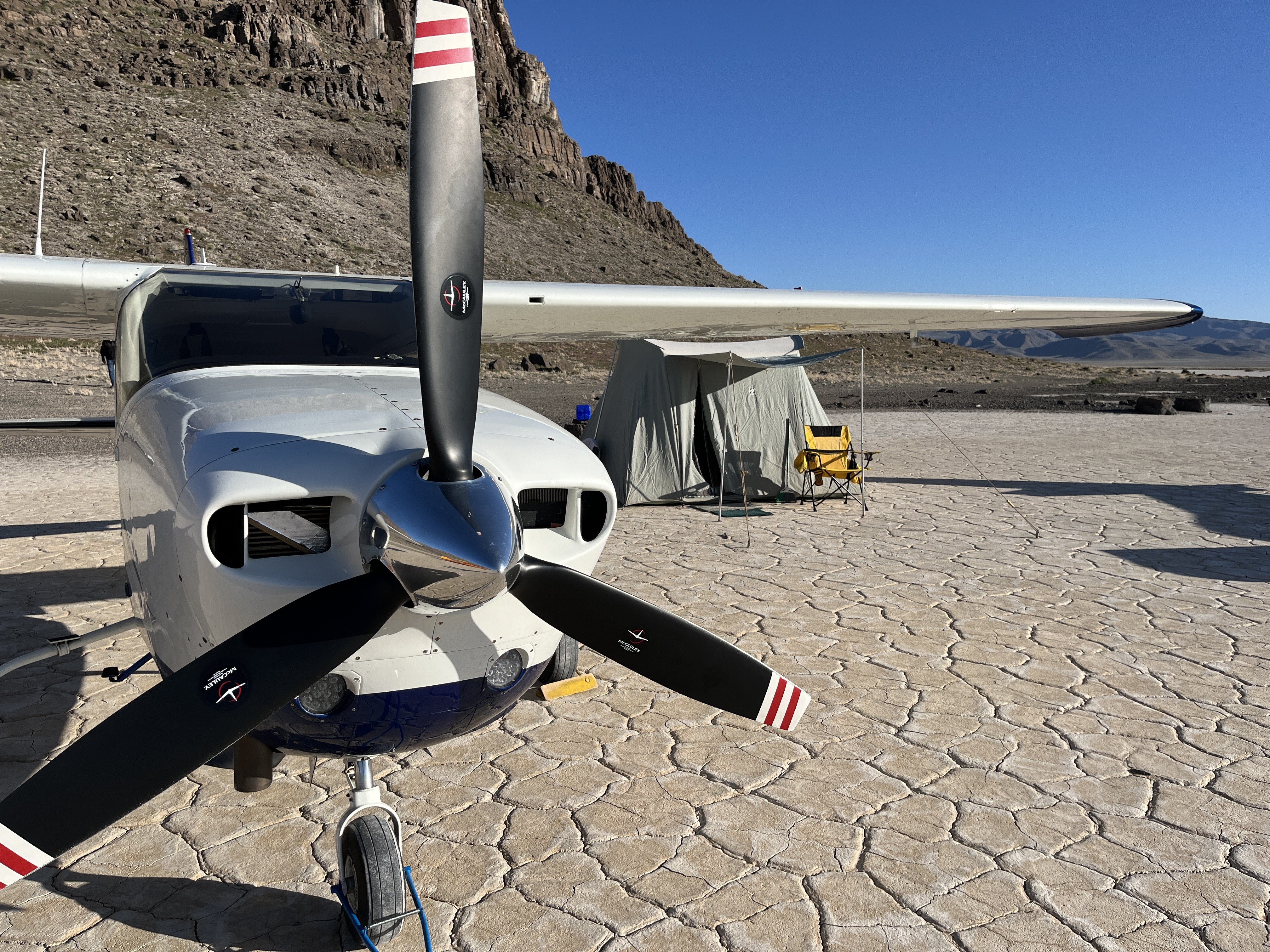

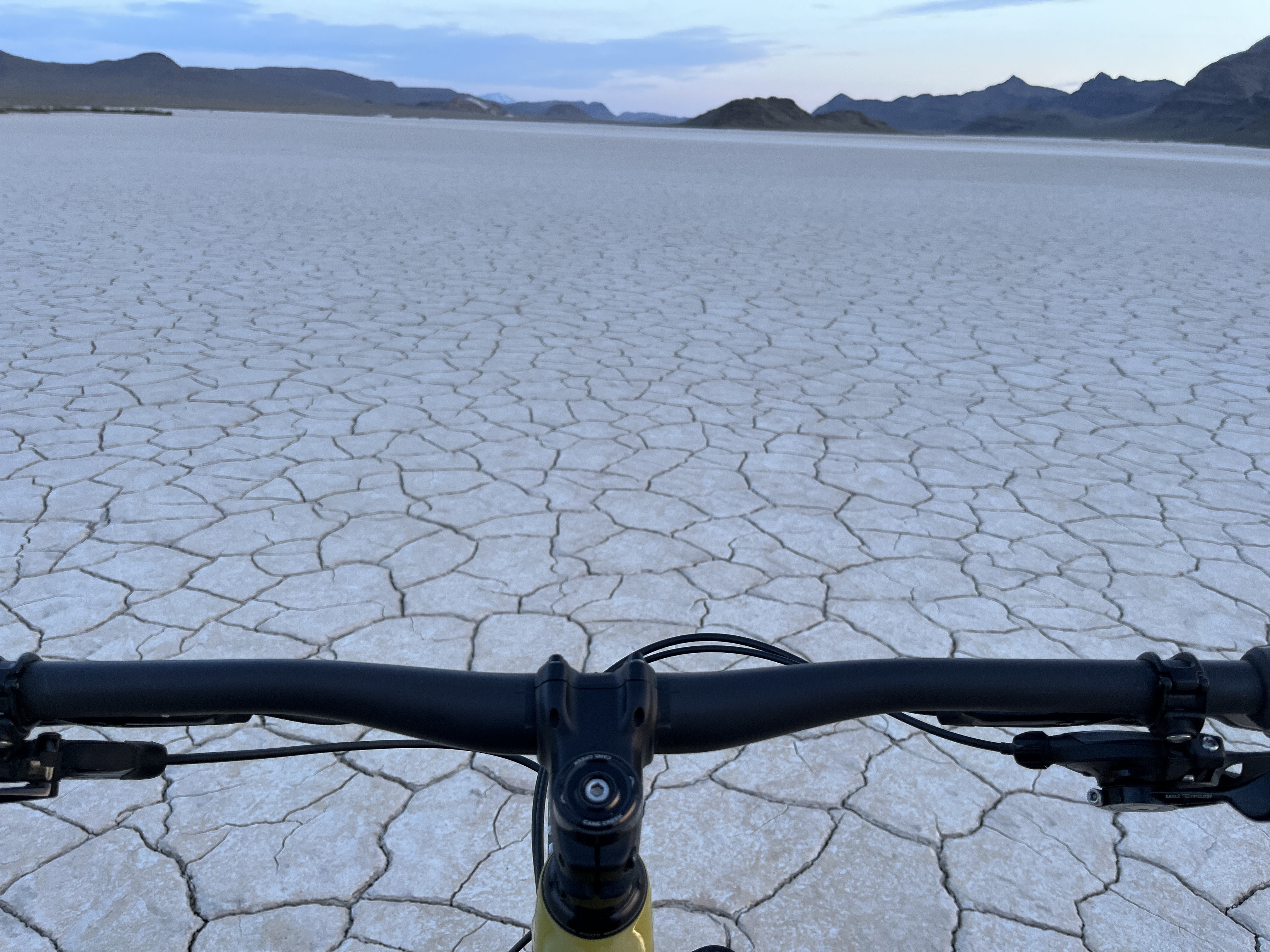
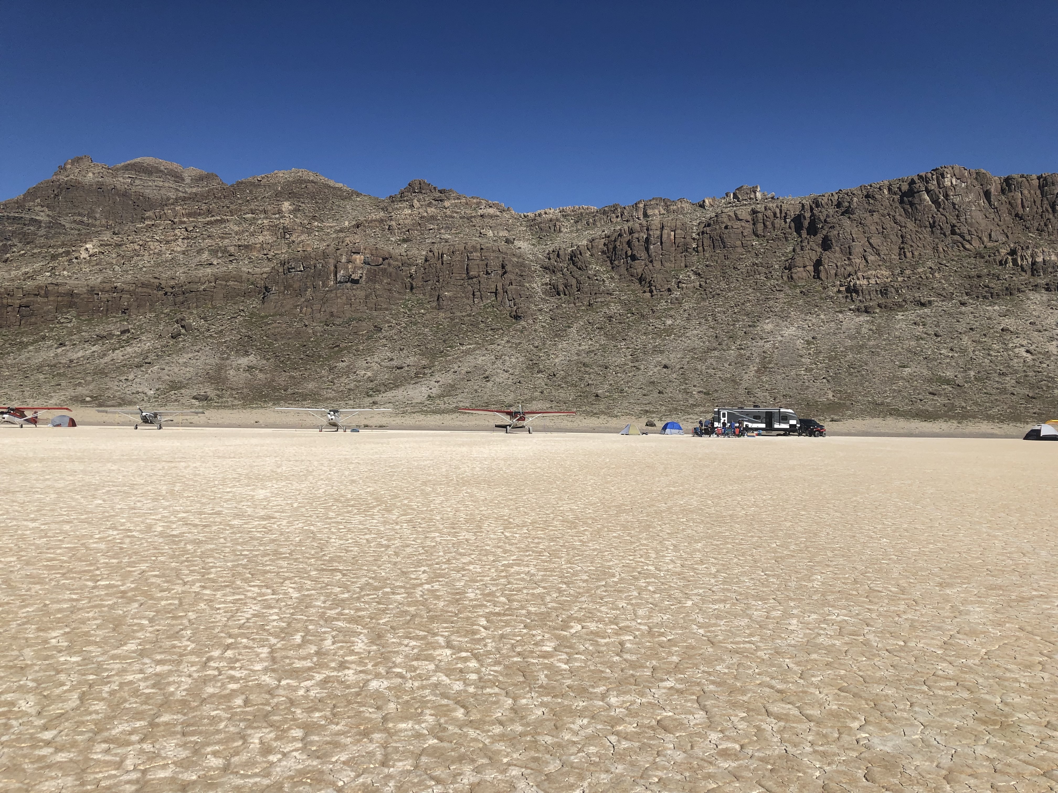
The general landing area, and parking area is all dry. Some small areas on the outskirts had standing water, some areas were darker in color, but actually looked mostly dry. But there is plenty of room to land, taxi, and park around the island etc. Ground is extremely firm in those areas. (Listed N/A on windsock, don't recall seeing it, but also didn't look for it, wind was obvious/strong out of the south.)
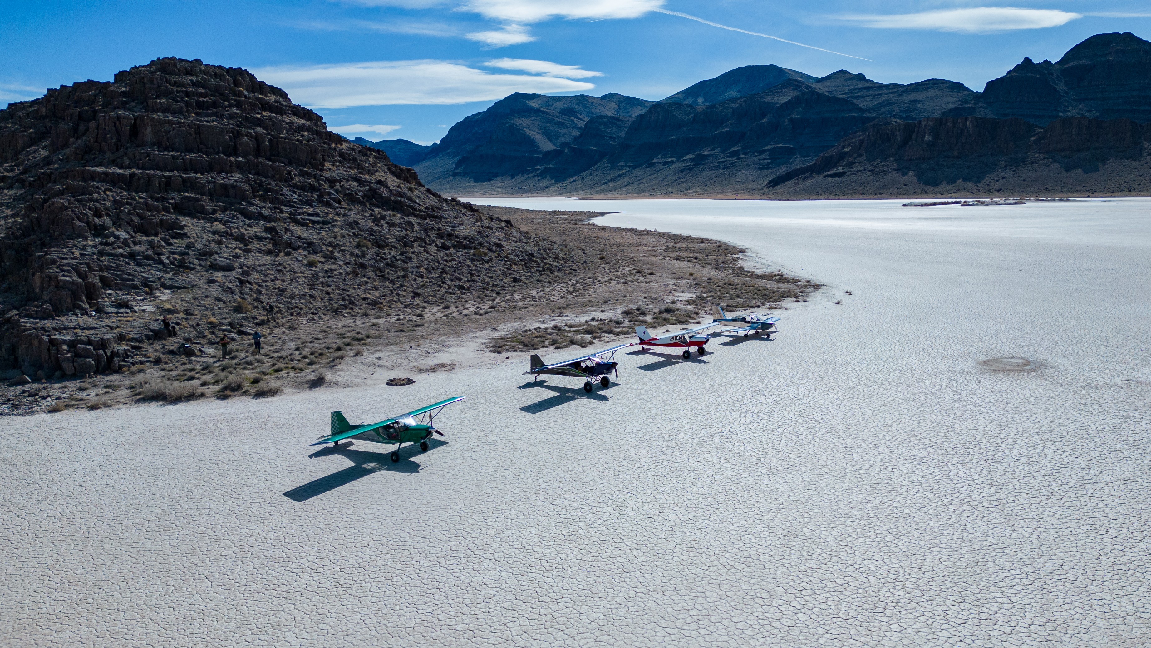
hopefully the windsock is still there. I put one up about 8 months ago but haven't been back to check. it's on the top of the island.
3 years ago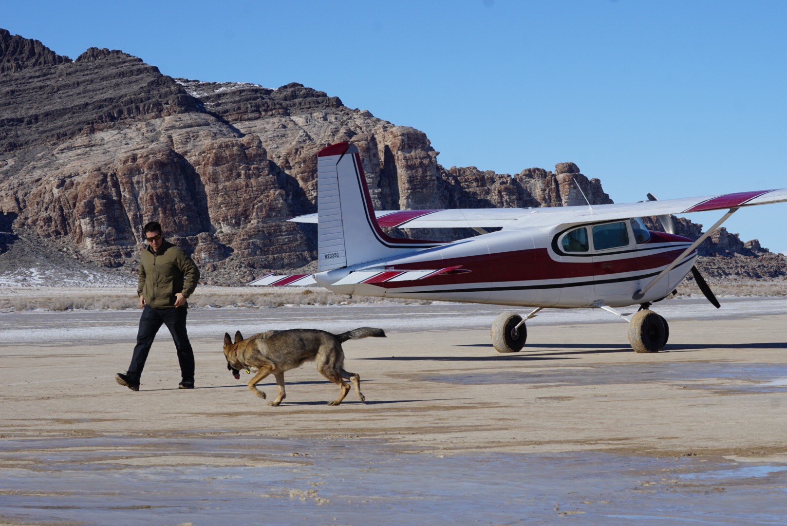
The Tule Valley Hardpan, located in the remote and arid Tule Valley of western Utah, is a striking geological and environmental feature that reflects the region's dynamic natural history. This vast expanse of hardened soil, characterized by its cracked and parched appearance, owes its origins to the ancient Lake Bonneville, a massive pluvial lake that covered much of Utah during the last Ice Age. As Lake Bonneville receded roughly 14,500 years ago due to climatic changes and the catastrophic Red Rock Pass flood, its desiccated lakebed left behind a variety of sedimentary deposits, including clay and silt, which formed the foundation for the hardpan. Over time, cycles of wetting and drying cemented these sediments, creating the dense, impermeable surface seen today.
During the Holocene epoch, the Tule Valley experienced significant shifts in climate that shaped the hardpan's current characteristics. As the region grew increasingly arid, episodic floods and seasonal precipitation occasionally inundated the valley, depositing salts and minerals on the surface. The intense evaporation typical of the Great Basin's climate concentrated these salts, further hardening the soil. These processes also contributed to the formation of distinctive polygonal cracking patterns, a hallmark of the hardpan, resulting from the repeated expansion and contraction of the clay-rich sediments.
The Tule Valley Hardpan has long intrigued scientists and explorers due to its unique physical and chemical properties. Early geologists in the 19th and 20th centuries noted the hardpan's resemblance to other Great Basin playas, sparking interest in its hydrology and paleoclimate implications. Research into the hardpan has provided valuable insights into the region's prehistoric environment, including evidence of ancient water levels and the fluctuating climate patterns that have influenced the Great Basin for millennia. The hardpan also serves as an analog for similar arid environments on Earth and even on Mars, where comparable desiccated terrains have been identified.
Despite its remote location, the Tule Valley Hardpan has played a minor role in human history. Indigenous peoples likely traversed the area in search of resources, though the inhospitable environment limited sustained habitation. In the modern era, the Tule Valley remains largely uninhabited, with the hardpan serving as a natural preserve of the region's geological history. The area has also attracted researchers and adventurers interested in its stark beauty and the challenges posed by its harsh conditions.
Today, the Tule Valley Hardpan stands as a testament to the interplay of geological forces and environmental change. Its cracked and sunbaked surface tells the story of a landscape shaped by ancient lakes, climatic extremes, and the passage of time. As a living laboratory for studying arid ecosystems and Earth’s climatic past, the Tule Valley Hardpan remains an important and enduring feature of Utah's natural heritage.
Works Cited:
Lake Bonneville: Geology of Northern Utah Valley, Department of Interior, 1953